Geocaching Lachlan Valley Way – Hume Highway To Boorowa

Geocaching Lachlan Valley Way – Hume Highway To Boorowa

Geocaching Lachlan Valley Way – Hume Highway To Boorowa

A day out geocaching Lachlan Valley Way between the Hume Highway and Boorowa NSW. We headed out from home at about 9.00am and didn’t get back until around 4.00pm. It was a full day. 

Found a heap of them today and only had a few DNFs. The DNFs were hidden way up in trees and there is no way known that we are going to be climbing trees at our ages. It’s a known fact that old fat people do not bounce well.

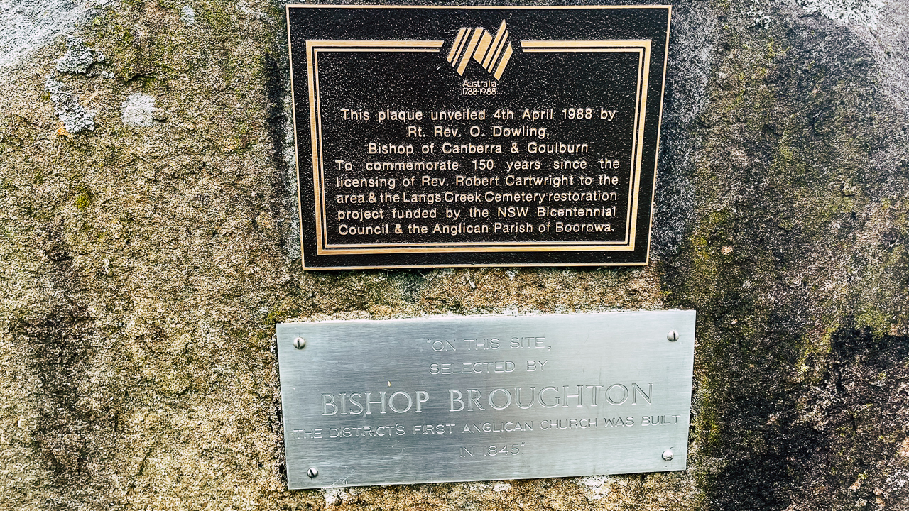
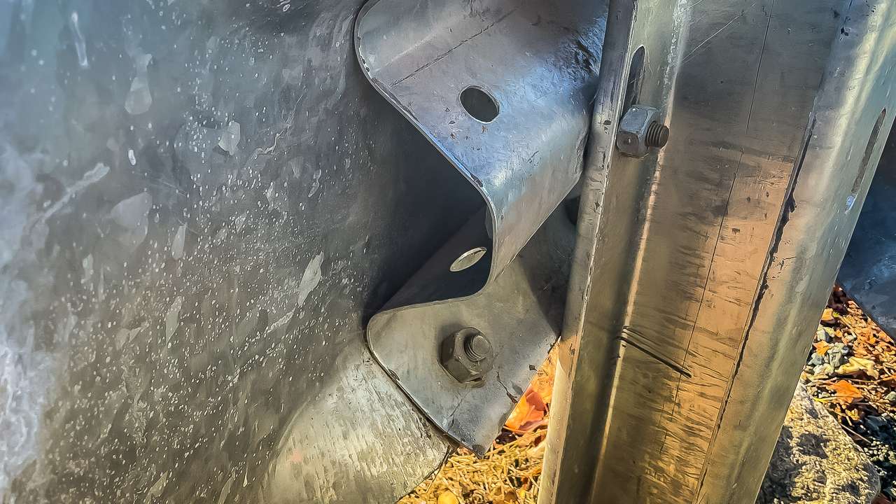
A lot of the geocaches were simple hides inside of roadside guardrails, not much to them. My favourite hide of the day were “Between The Johns” down the back of the church at Tangmangaroo Anglican Church. Our other two favourites were at Langs Creek Cemetery – you would not have known the cemetery was there if it wasn’t for going looking for geocaches.
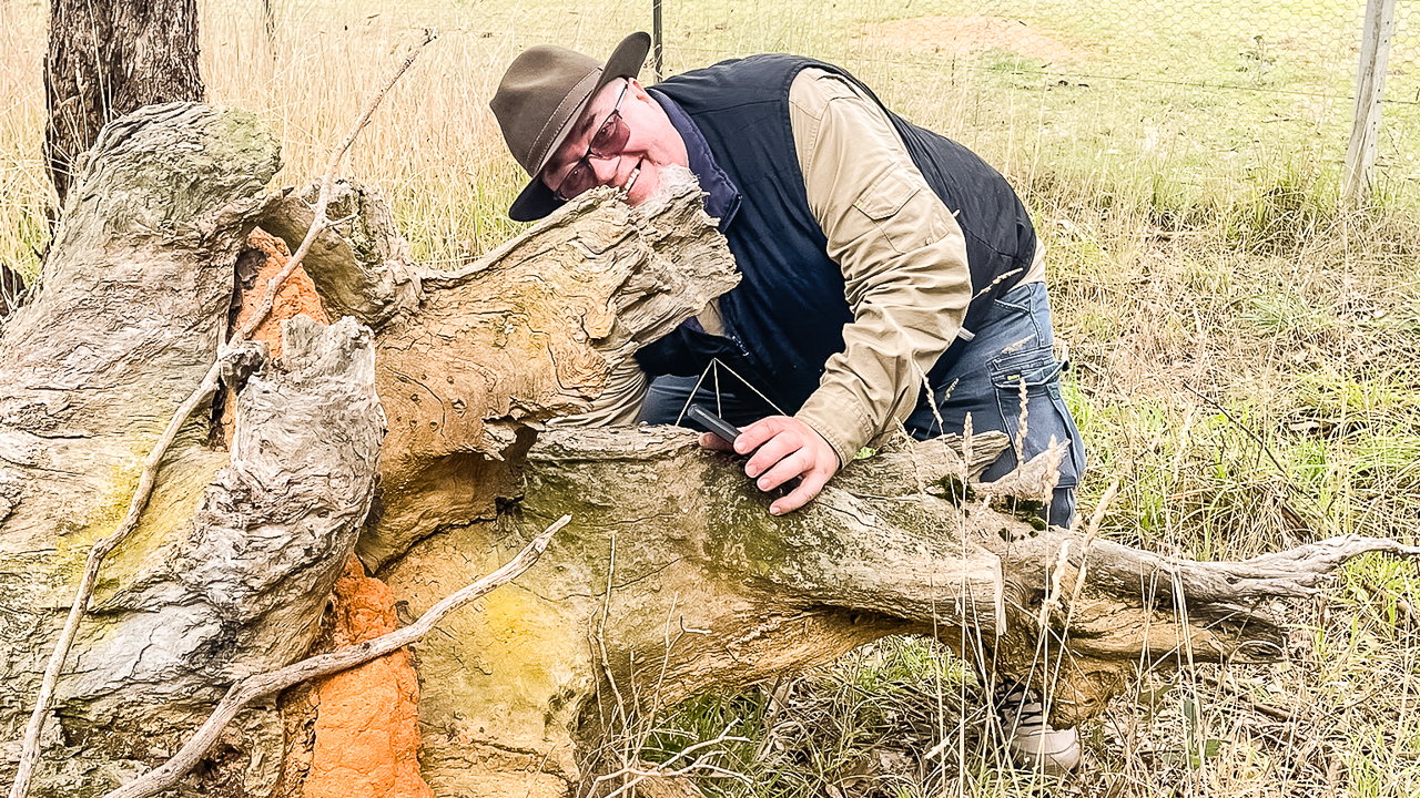
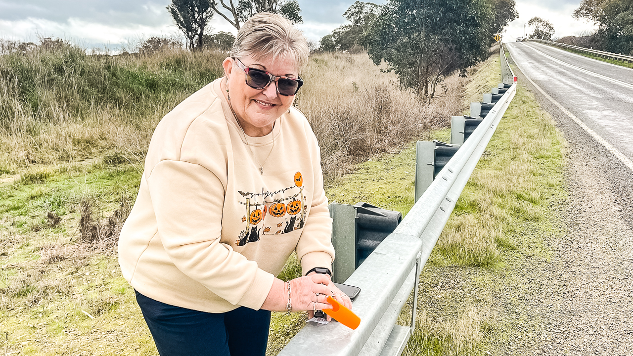
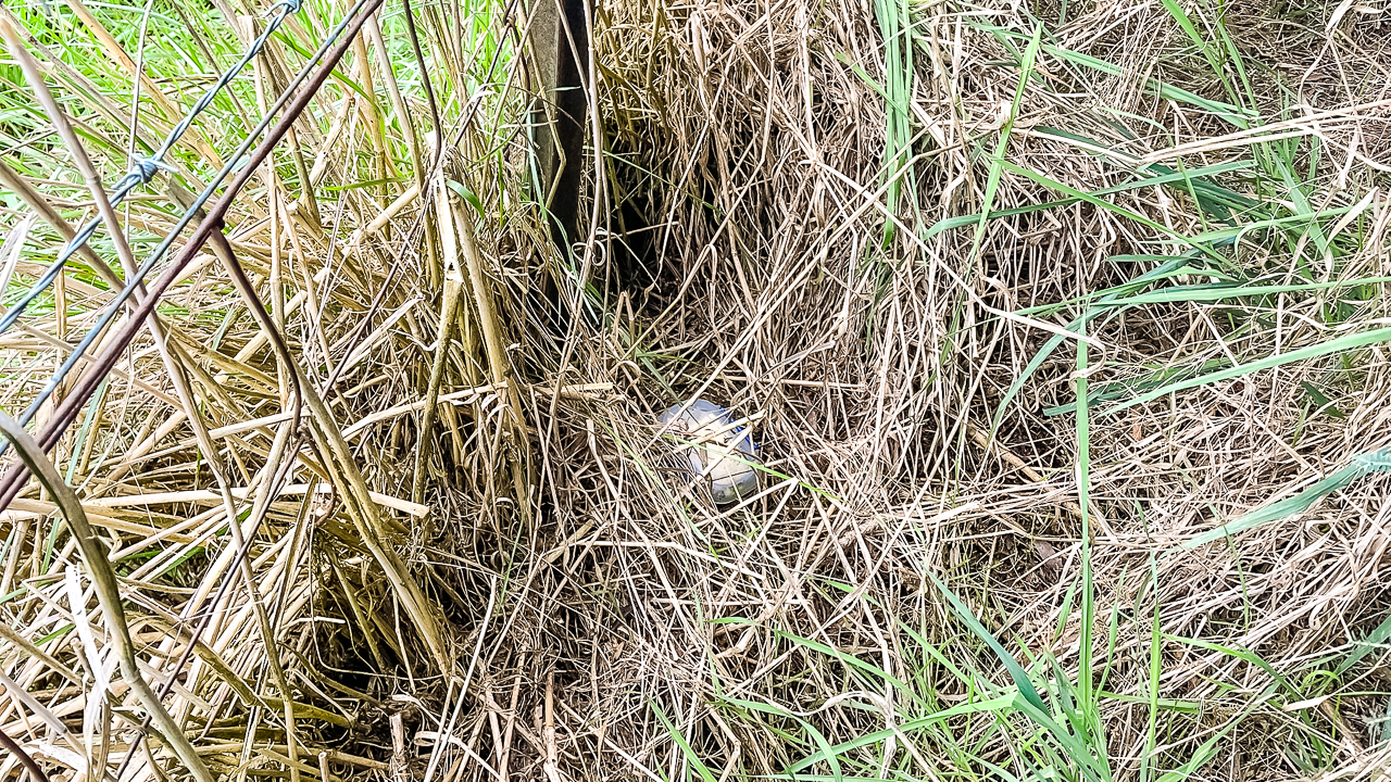
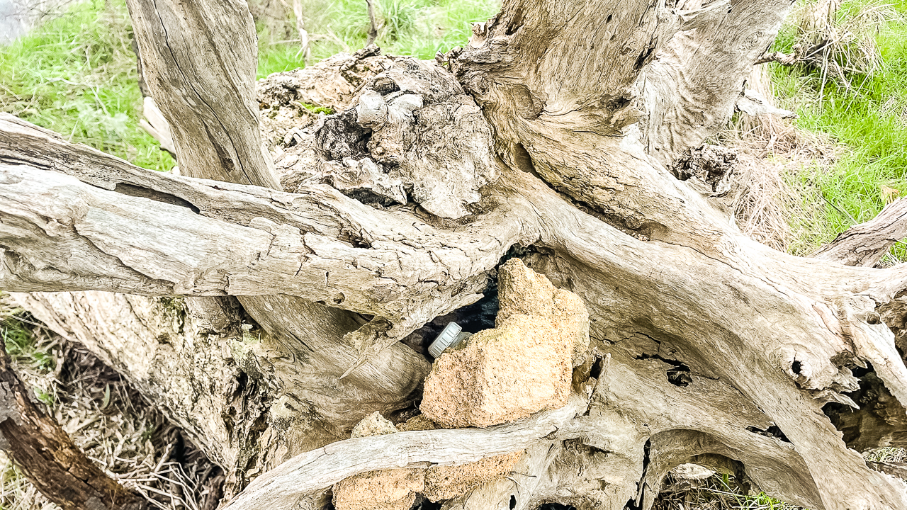
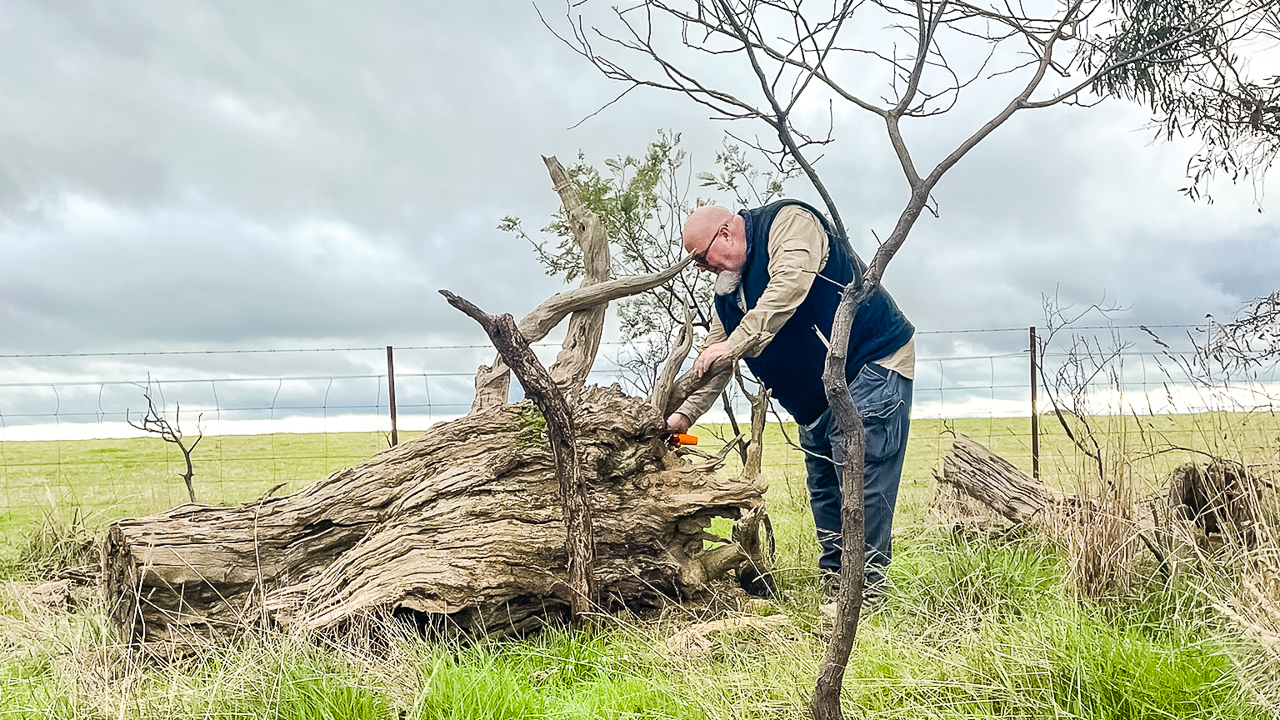
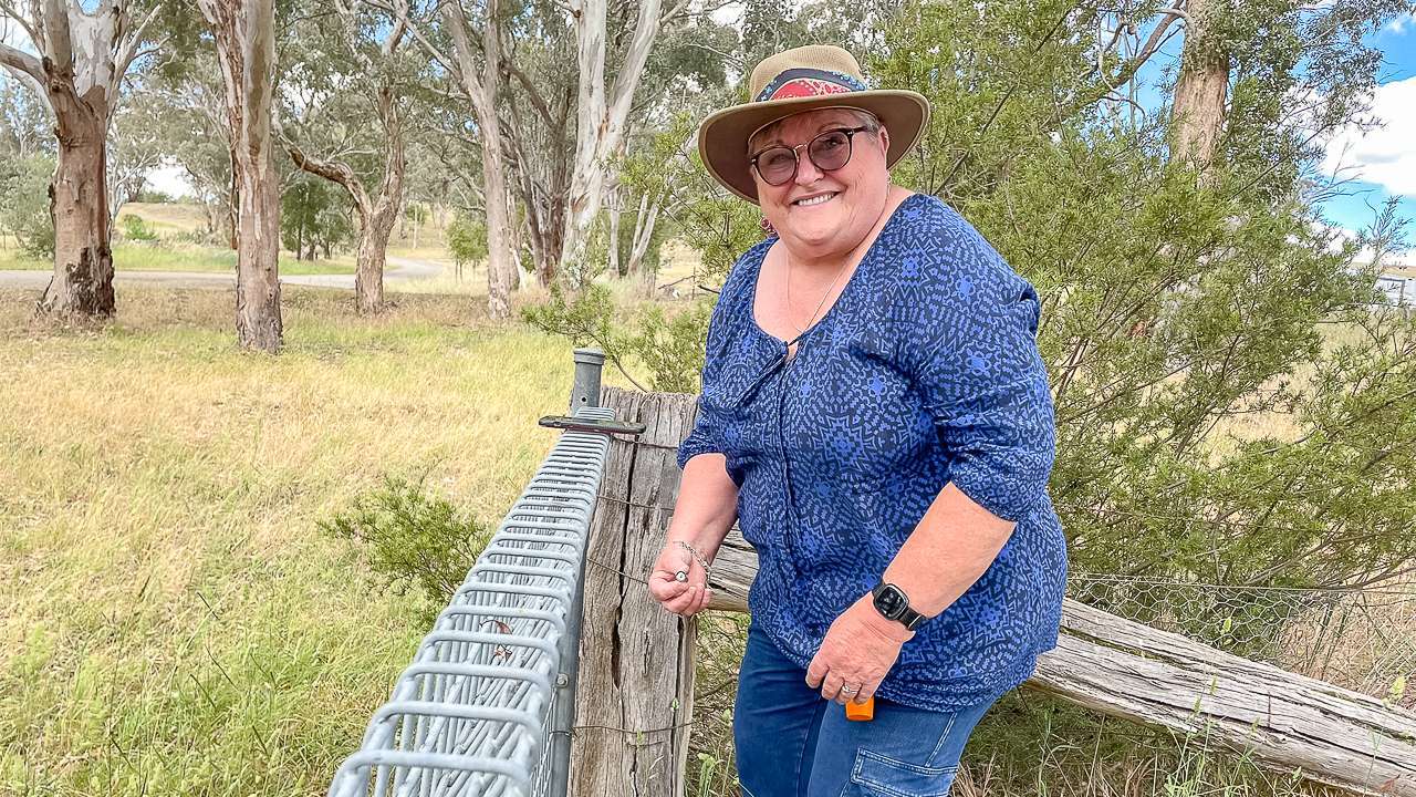
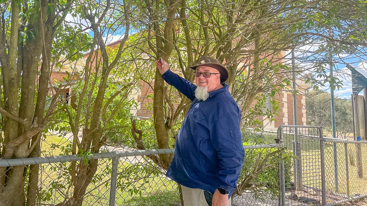
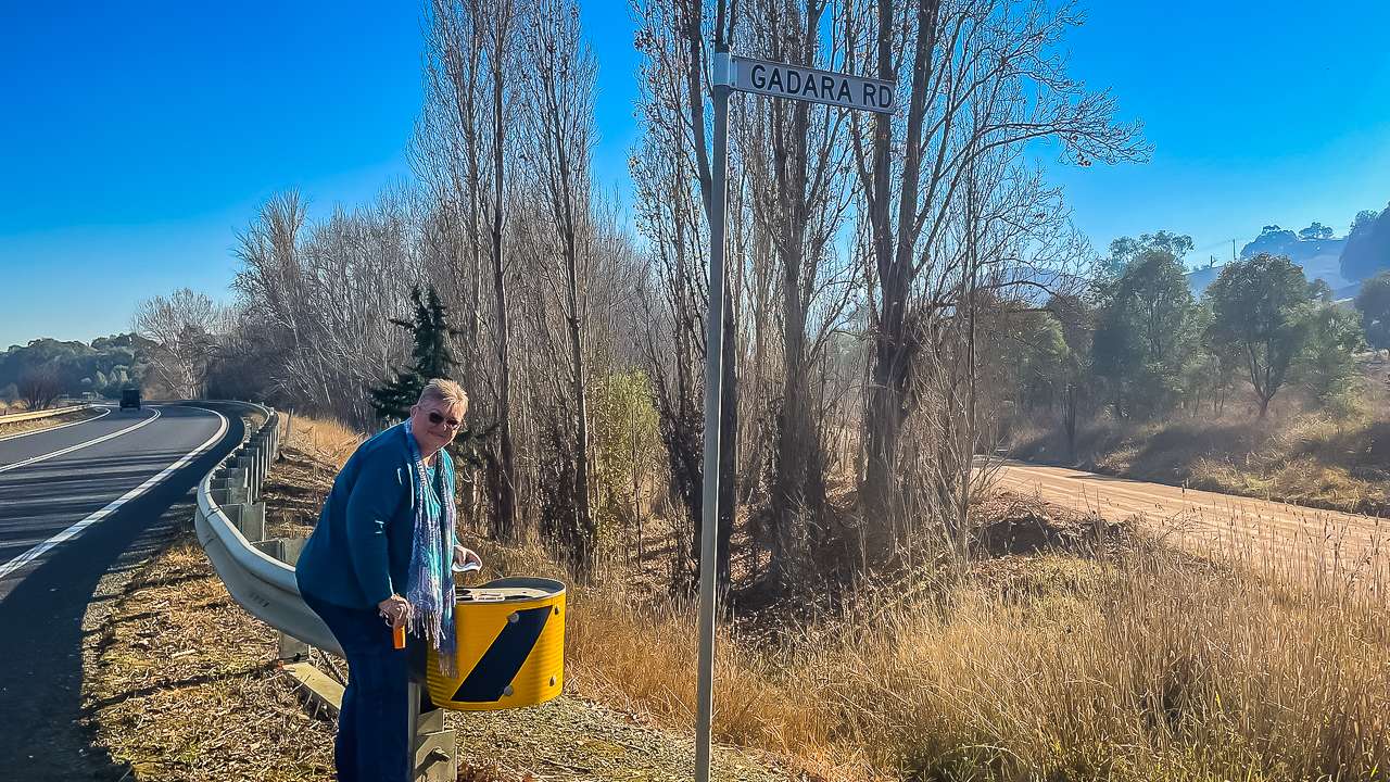
Dave With A geocache On Lachlan Valley Way

Dave With A geocache On Lachlan Valley Way

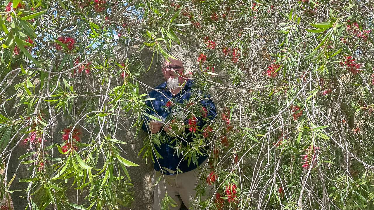
Geocaches We Found While Geocaching Lachlan Valley Way Between The Hume Highway And Boorowa

  • Found Langs Creek Cemetery | GC9XQ7X
    TFTC great hide
  • Found Langs Creek Cemetery | GC9XQ80
    Another great location and piece of history. Love these hides TFTC
  • Found Australian Animal Series – Tree Frog | GC9WMVV
    TFTC
  • Found “Between the John’s” | GCQY6E
    TFTC this was a great hide and a beautiful piece of history
  • Found Snakes of the World – Tentacled Snake | GC9KN9P
    TFTC PAD WAS VERY WET SO PUT A NEW PIECE OF PAPER IN A NEW BAG
  • Found Snakes of the World – Anaconda | GC9KN7F
    TFTC
  • Found Snakes of the World – Diamond Python | GC9KN8H
    TFTC
  • Found Sausages of the World – Gelbwurst | GC9XTQF
    TFTC
  • Found Turtles of the World – Bengal Roof Turtle | GC9PMG0
    TFTC
  • Found Found Turtles of the World – Philippine Forest Turtle | GC9PMGR
    TFTC
  • Found Turtles of the World – Speckled Dwarf Turtle | GC9PMJV
    TFTC You may want to replace the log sheet as it is very full
  • Found Snakes of the World – Milk Snake | GC9KN7N
    TFTC
  • Found Lizards of the World – Blue Tongued Lizard | GC9KH2W
    TFTC
  • Found Snakes of the World – King Cobra | GC9KN74
    TFTC
  • Found Turtles of the World – Eastern Long Necked Turtle | GC9PMJH
    TFTC
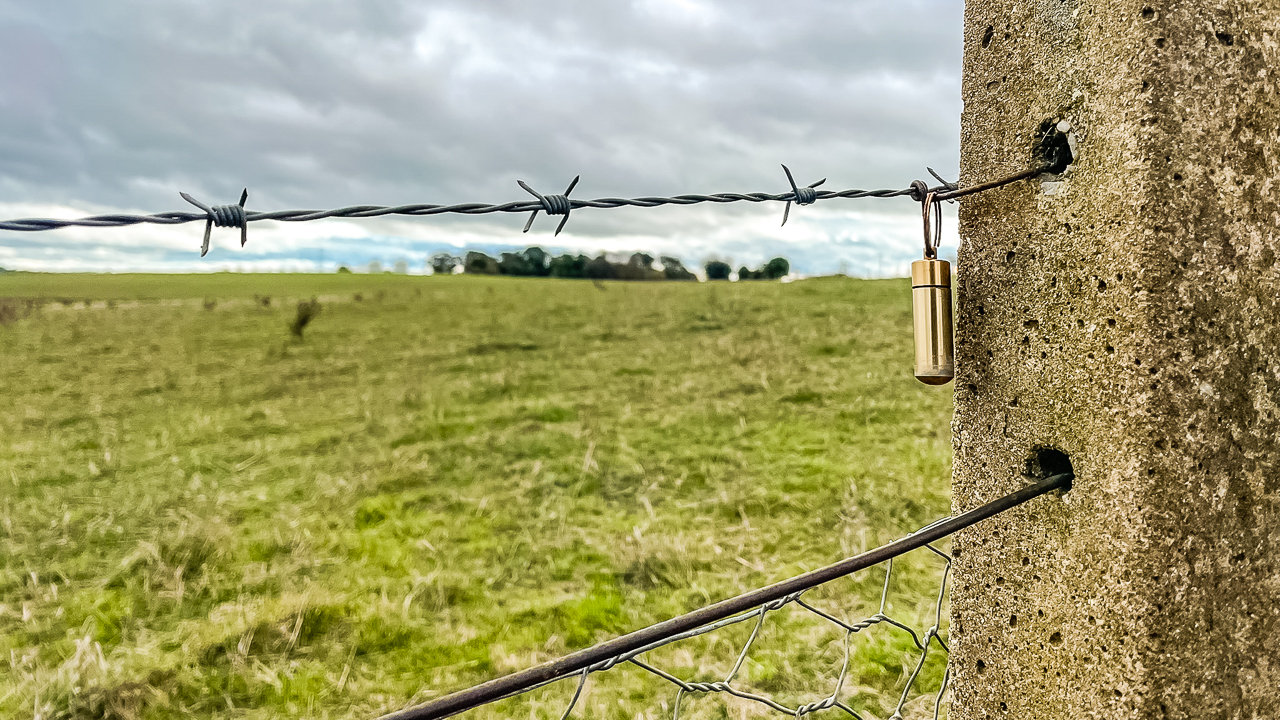
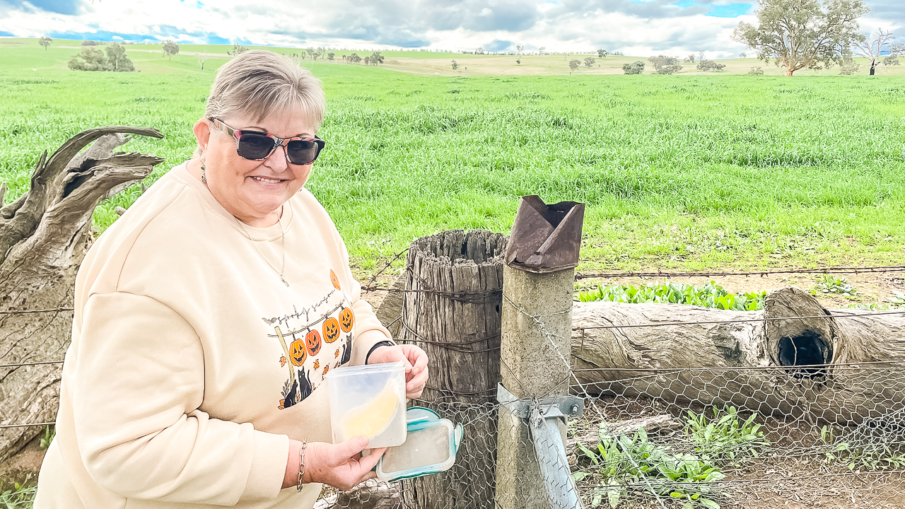
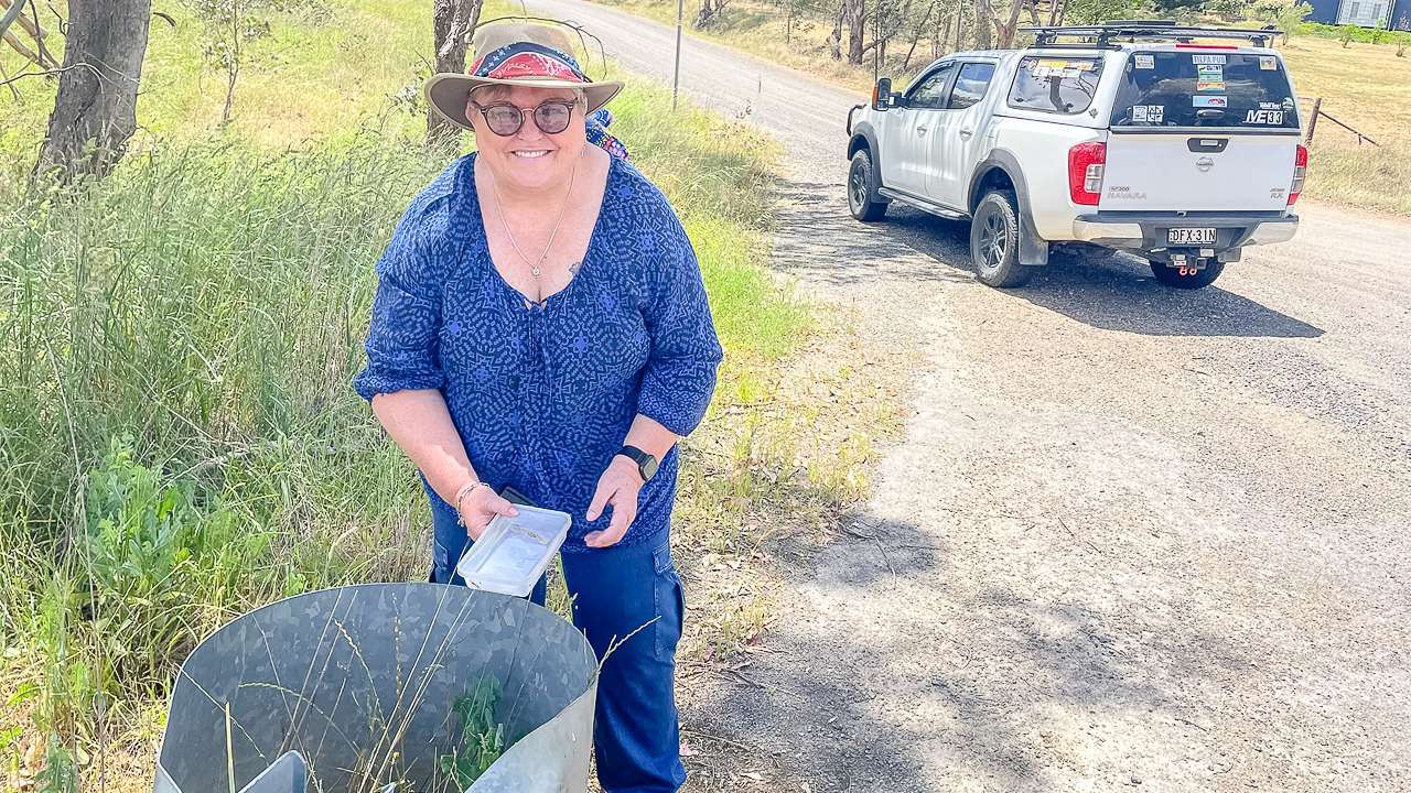
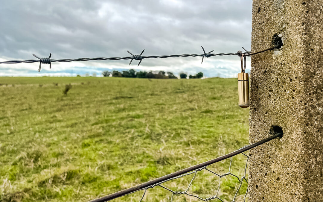
Geocache On A Fence Along Lachlan Valley Way

Geocache On A Fence Along Lachlan Valley Way

Langs Creek Cemetery

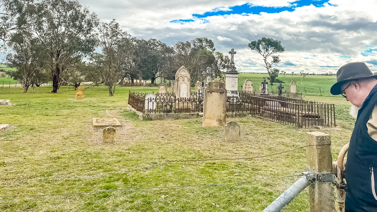
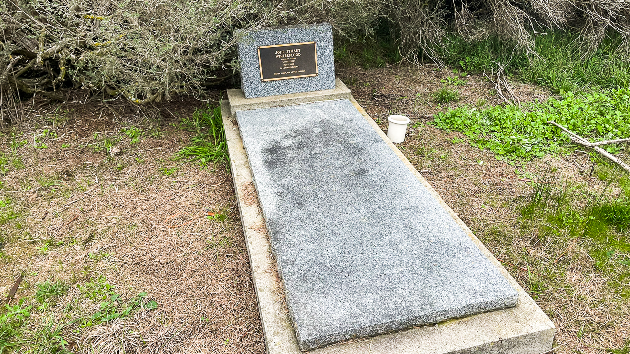
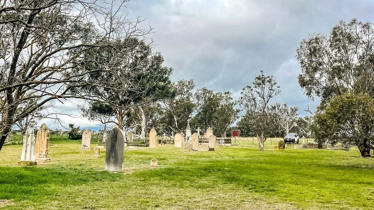
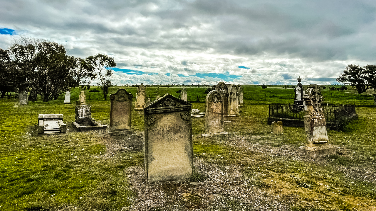
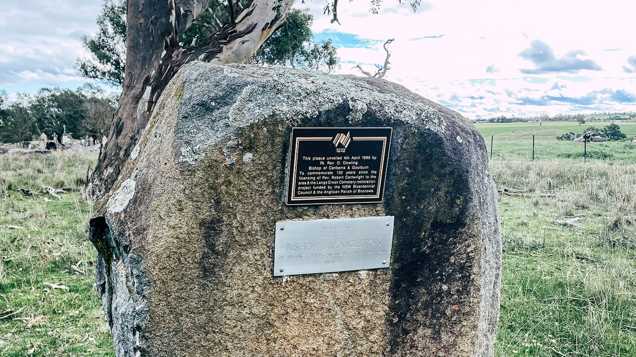
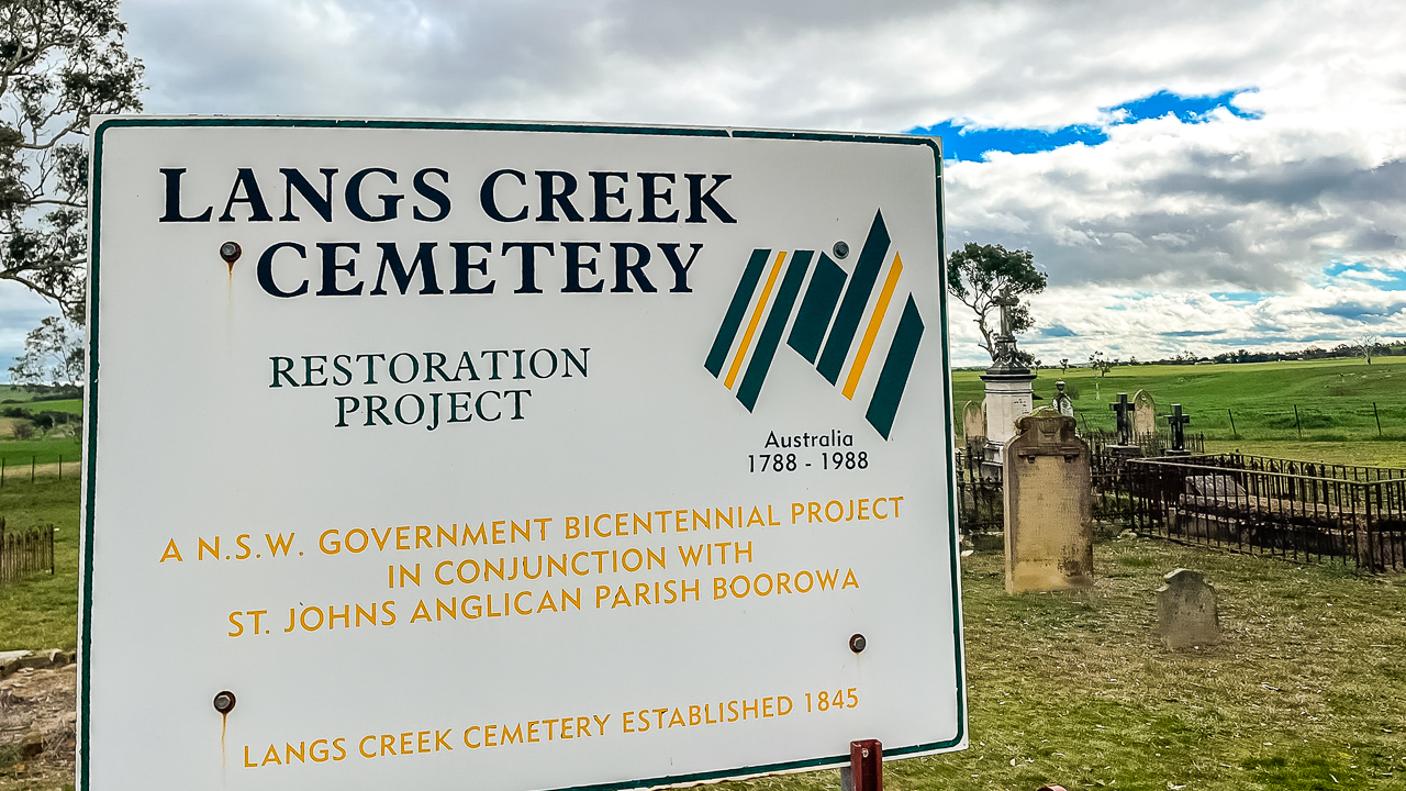
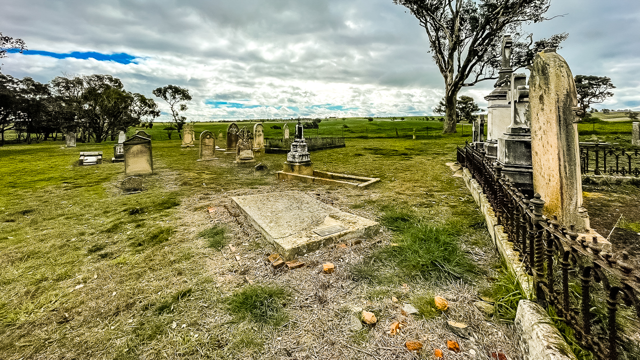
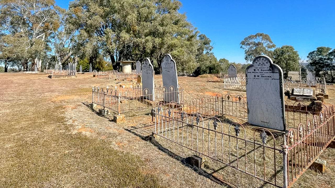
We found a couple of geocaches at Langs Creek Cemetery. This was our favourite geocaching site of the day. Langs Creek Cemetery is hidden out along a travelling stock route off the Lachlan Valley Highway between the Hume Hwy and Boorowa NSW – it’s about 9km from Boorowa. You’d never see it from the road, just a little signpost is all that gives it away. Most of the graves are between 1850 and 1860 the oldest we saw being 1847. There are 81 graves in there. It’s well worth stopping in to get the geocaches hidden here.Langs Creek Cemetery contains the graves of many early pioneering families who helped shape the district during the nineteenth and early twentieth centuries.
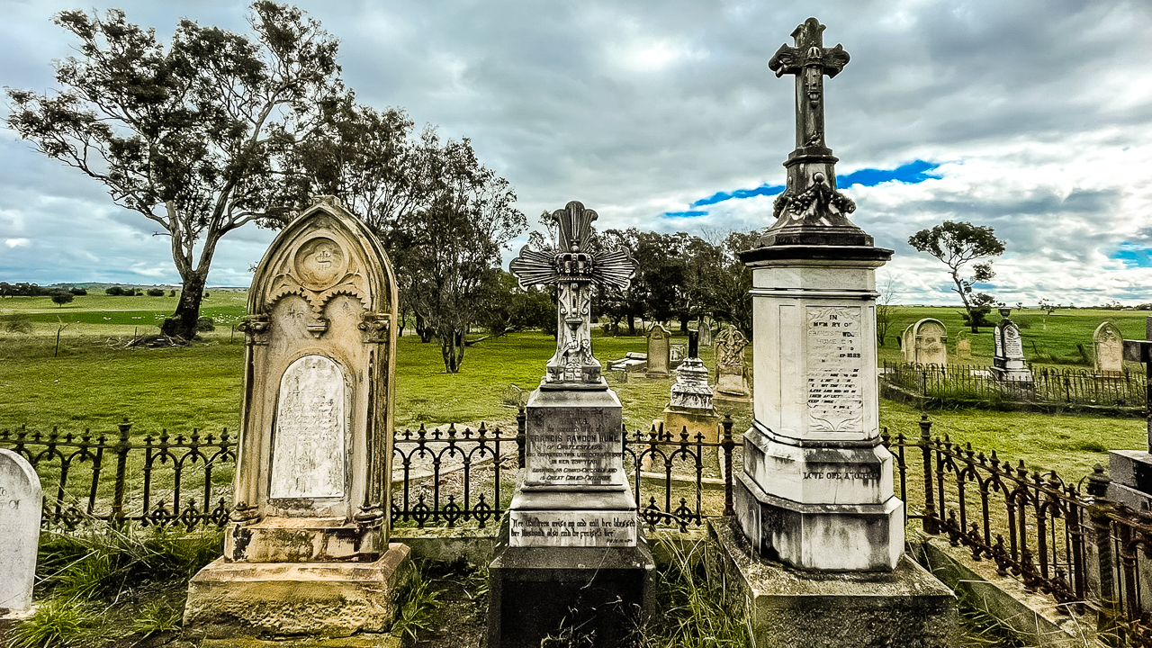
Headstones Inside Of Langs Creek Cemetery

Headstones Inside Of Langs Creek Cemetery

The cemetery reflects strong connections to both colonial New South Wales and England, with family names such as Sargent, Hughston, Beck, Timms, Walters and Venables appearing throughout the burial records. These graves provide an important record of the settlers, farmers and families who contributed to the history of the Langs Creek area.

Name Place Of Birth Birth Date Died
Sophia (Abbott) White   30 Dec 1809 05 Nov 1880
John Baldock Wadhurst, Sussex, England 20 Apr 1800 26 Jan 1886
John Beck Sutton Coldfield, Warwickshire, England, United Kingdom 13 Dec 1818 13 Dec 1876
John Beck Shoreditch, Middlesex, England, United Kingdom 23 Nov 1840 11 Oct 1862
Frances (Briggs) Sargent New South Wales, Australia 1837 17 Oct 1908
Eliza (Browning) Evans Cornwall, England, United Kingdom 1824 1855
Euphemia (Cameron) Timms Goulburn, New South Wales, Australia 08 Aug 1883 26 May 1941
Olive (Gaze) Hancock Sydney, New South Wales, Australia 1835 28 Nov 1868
James Hughston   1838 03 Jun 1919
James Hughston Binalong, New South Wales, Australia 1866 11 Sep 1930
Samuel Hughston Gundagai, New South Wales, Australia 16 Oct 1864 23 Sep 1933
Francis Hume Parramatta, New South Wales, Australia 13 Nov 1803 17 Sep 1888
Jessie (Hume) Middleton New South Wales, Australia 1851 24 Apr 1876
Jane (Hutchinson) Small   1849 26 Nov 1903
Martha (Hutchinson) Hughston Eastern Creek, New South Wales, Australia 11 Jul 1824 19 Nov 1899
Susan (Irish) Harding   1829 23 Apr 1877
Sarah (Lloyd) Beck Shoreditch, London, England, United Kingdom abt 1816 05 Jan 1880
Elizabeth (Martin) Walters New South Wales, Australia 1858 26 Dec 1919
Mary (Mason) Harding Carcoar, New South Wales, Australia 1855 1891
Jane (Ovens) Rumary New South Wales, Australia 1827 1870
George Packham   1842 19 Jan 1889
Hannah (Packham) Sargent Beckley, Sussex, England 16 Jun 1833 15 May 1911
Mary (Regan) Hughston   1841 04 Aug 1903
William Rumary Essex, England, United Kingdom 1814 1891
George Sargent Beckley, East Sussex, England 21 Nov 1828 03 Jan 1924
Thomas Sargent Beckley, East Sussex, England 25 Apr 1798 20 Jan 1877
Thomas Sargent Beckley, East Sussex, England 30 Jul 1832 26 Mar 1910
George Scriven Boorowa, New South Wales, Australia 31 Jan 1871 13 Oct 1871
George Small   1849 10 Aug 1927
Frederick Timms Boorowa, New South Wales, Australia 1873 16 May 1941
John Venables England, United Kingdom 1802 02 Apr 1859
Daniel Walters   1855 27 Jul 1939
Mary (Walters) Venables   1856 21 Apr 1876
Alice (White) Cross London, England, United Kingdom 22 Sep 1849 26 May 1899

All Saints Anglican Church Tangmangaroo

Our next favourite geocaching site of the day was definitely All Saints Anglican Church is located at Tangmangaroo. The church was established to serve the local farming community and has been an important part of the district’s history since the late nineteenth century. A cemetery beside the church contains a few graves of early residents and local families.
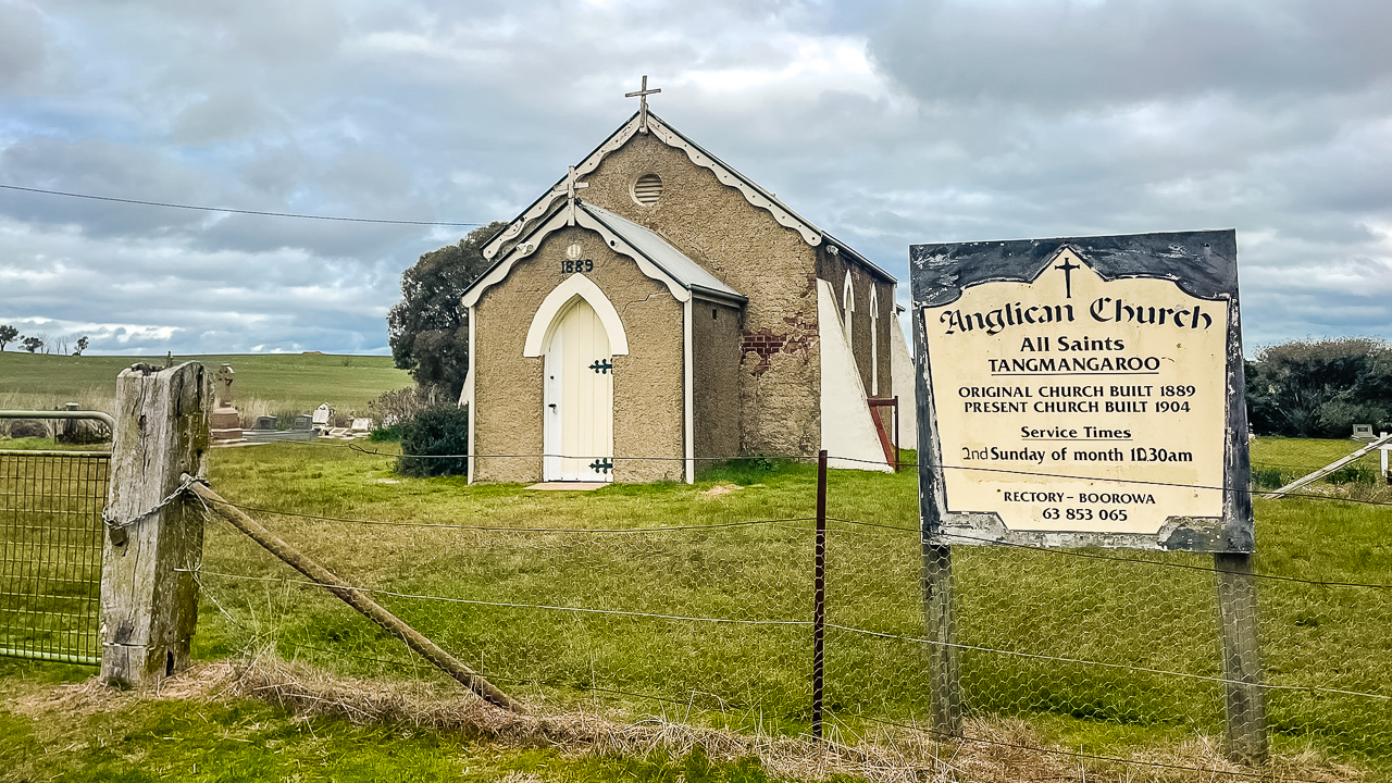
All Saints Anglican Church Tangmangaroo

All Saints Anglican Church Tangmangaroo

The first All Saints Church was built in 1889. As the district developed, a larger church was constructed and opened in 1904. For many years the church was used for regular services, baptisms, weddings and funerals, providing a central meeting place for people living in the surrounding rural area.

Today, All Saints Anglican Church and its cemetery remain important historical sites. They provide a record of the people who lived and worked in the district and help preserve the history of the Tangmangaroo area for future generations.
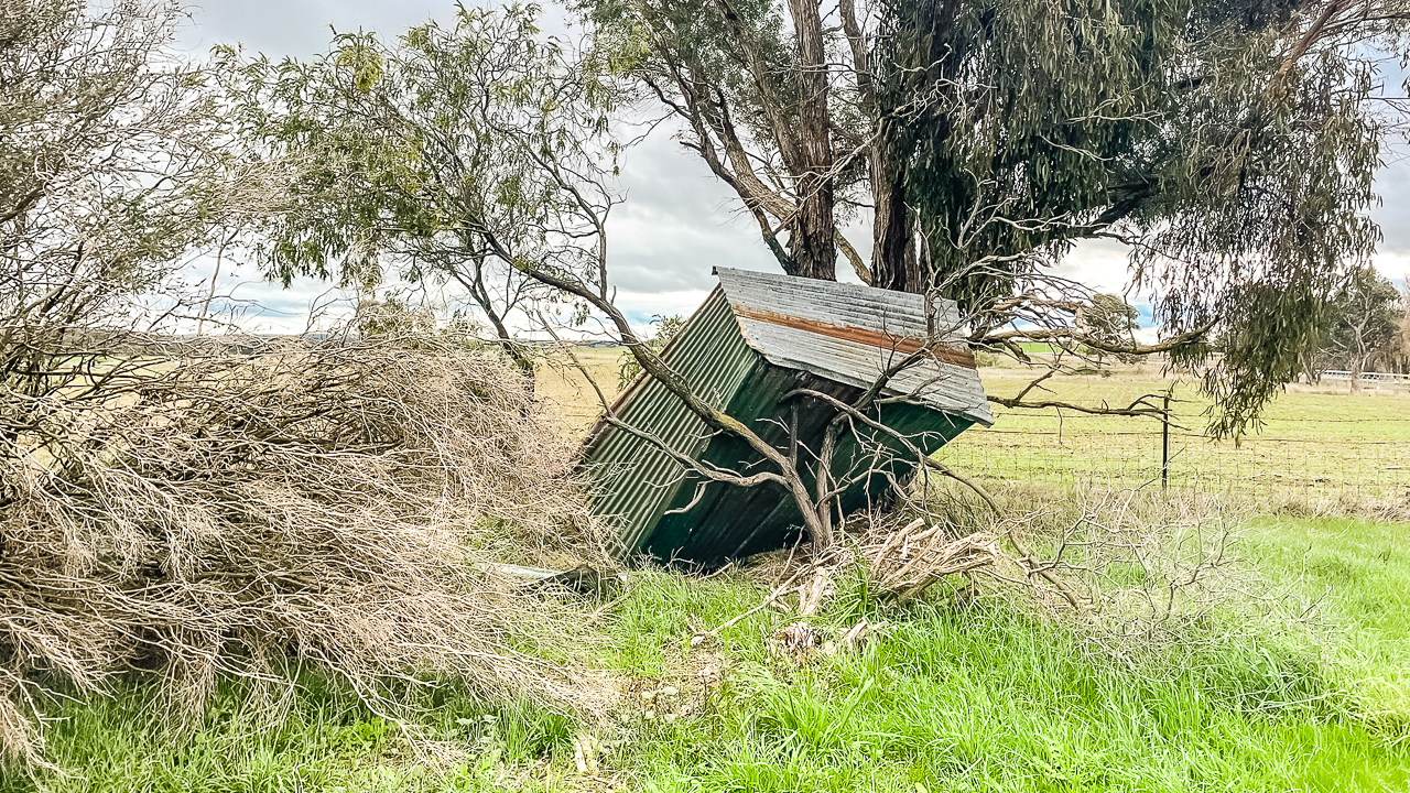
Fallen Down Dunny Behind All Saints Anglican Church Tangmangaroo

Fallen Down Dunny Behind All Saints Anglican Church Tangmangaroo

Geocaching Lachlan Valley Way Between The Hume Highway And Boorowa Gallery
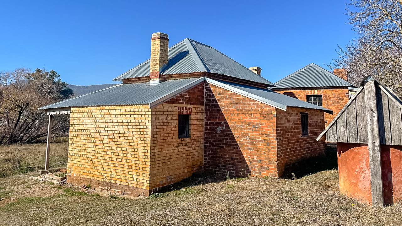
Snowy Mountains Historic Huts: We Visit 3 Historic Homesteads

Snowy Mountains Historic Huts: We Visit 3 Historic Homesteads

Snowy Mountains Historic Huts: We Visit 3 Historic Homesteads

We spent the day exploring remote back roads and Snowy Mountains historic huts between Jindabyne and the northern sections of the Snowy Mountains region. Travelling via Alpine Way, Middlingbank Road and Boboyan Road we visited several historic homesteads. Homesteads visited include Westermans Homestead, Brayshaws Homestead and Orroral Homestead. We drove through rough but manageable dirt roads in dry conditions.

This guide is based on our own first hand trip through the area in May 2026. We have included current access conditions, road observations and what each historic site is like today. If you’re planning a NSW High Country 4WD trip focused on historic huts, remote touring routes and Snowy Mountains history. This drive is well worth adding to your itinerary. Here’s day one of us exploring NSW high country huts.

Orroral Homestead One Of The Snowy Mountains Historic Huts We Visited ()

Orroral Homestead One Of The Snowy Mountains Historic Huts We Visited ()

Road Conditions

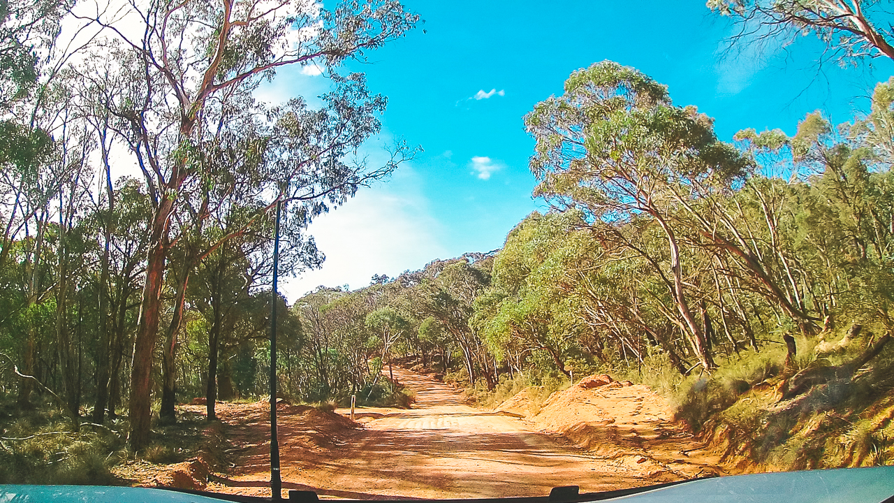
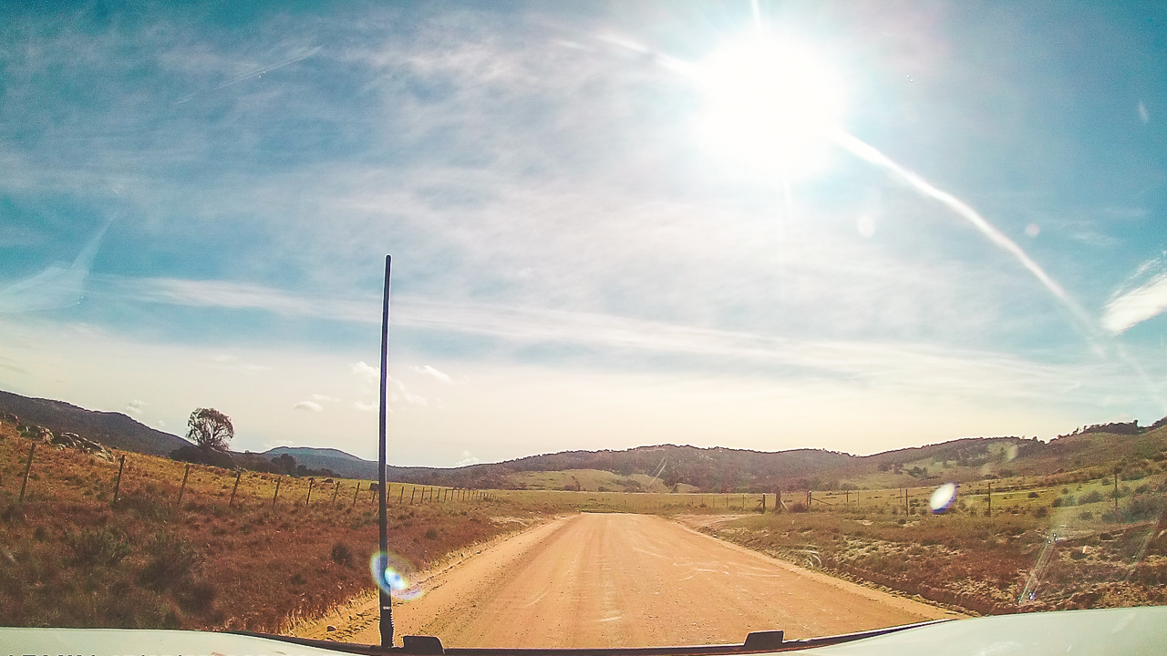
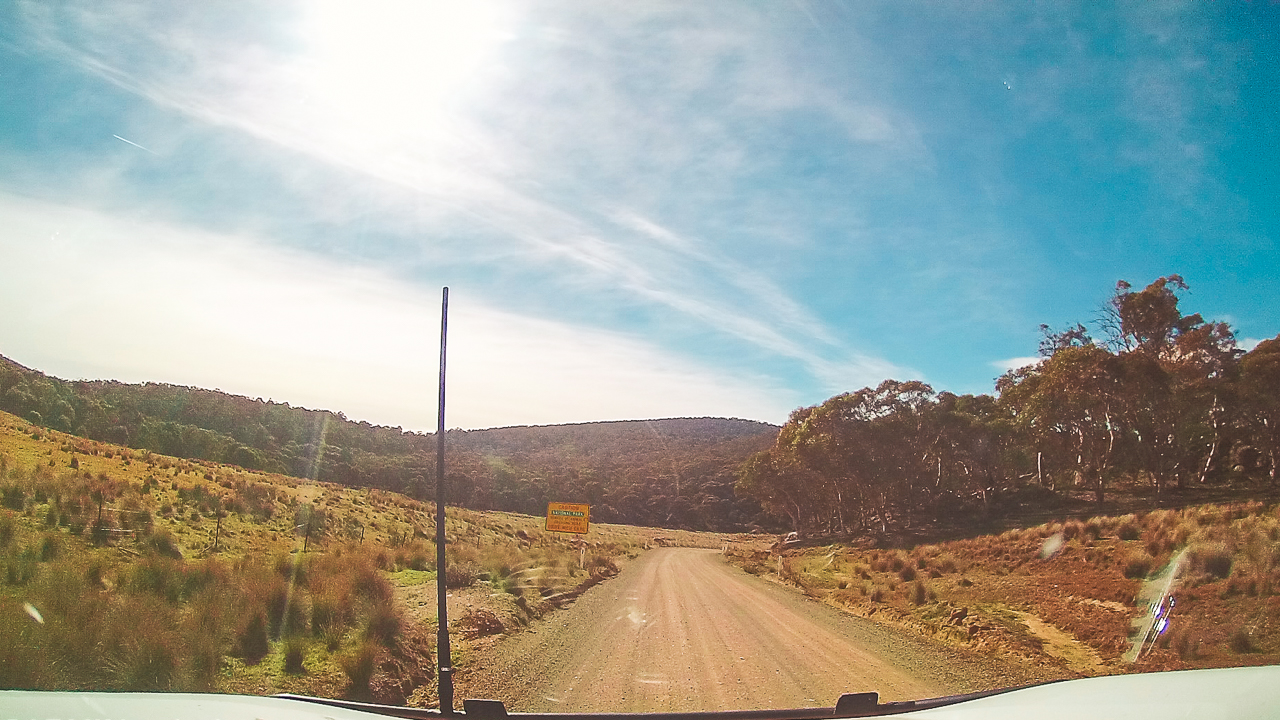
Road conditions during our trip were mostly dry with some rough corrugated sections along Boboyan Road and nearby fire trails.

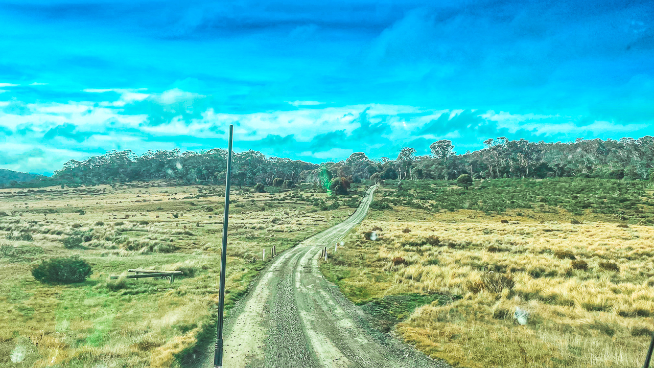
Dirt Road We Travelled While Visiting One Of The Snowy Mountains Historic Huts

Dirt Road We Travelled While Visiting One Of The Snowy Mountains Historic Huts

Heading Inland From Jindabyne

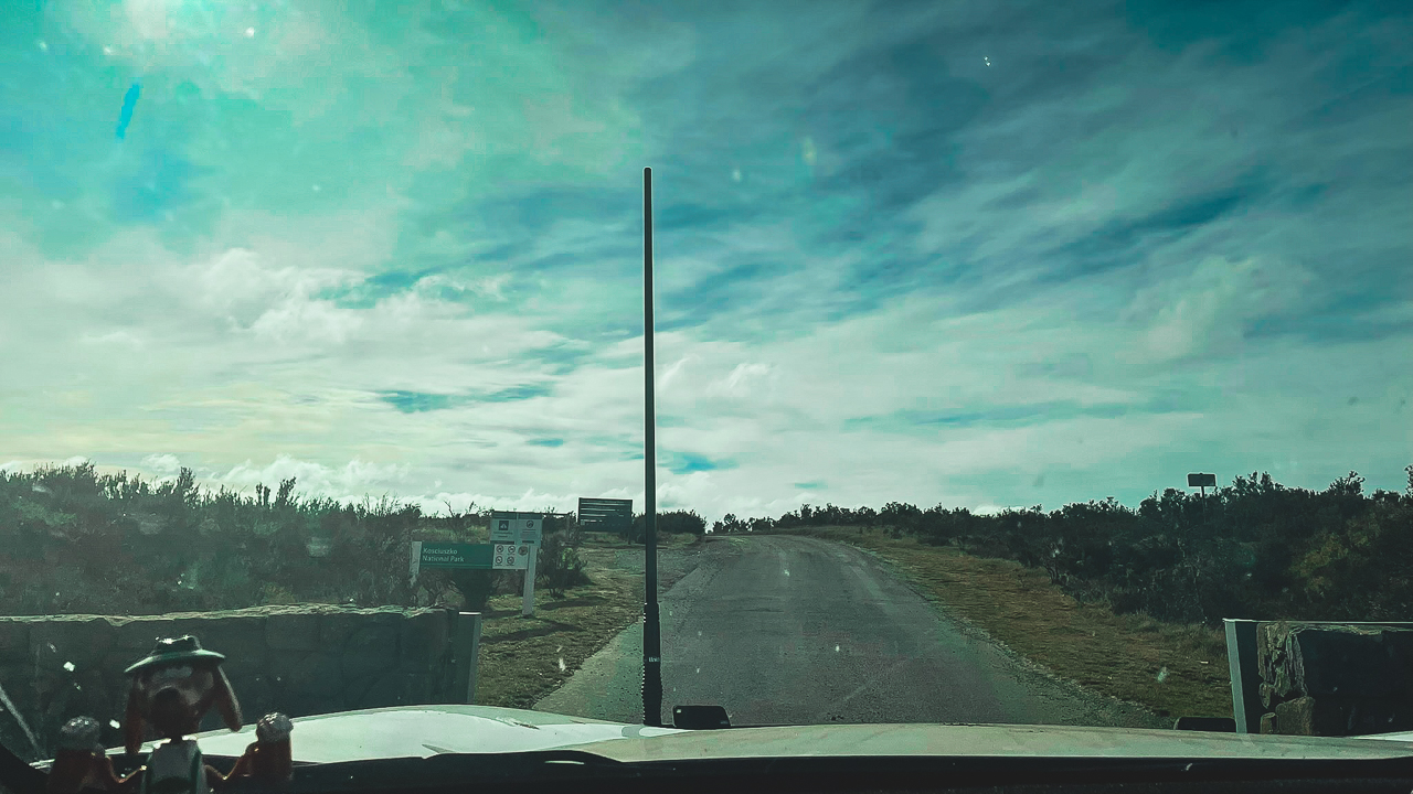
After breakfast at a cafe we left Jindabyne early in the morning and headed north along Alpine Way before turning off near Berridale. Once we reached Middlingbank Road the scenery quickly changed from alpine tourist areas to quieter back roads and open grazing country.
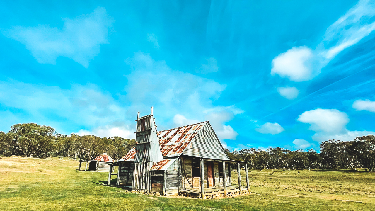
After joining Boboyan Road the driving became rougher with long stretches of dirt road, potholes and corrugations. None of it was difficult in dry weather but it definitely felt more remote compared to the sealed roads around the Snowy Mountains tourist areas.

The further inland we travelled the fewer people we saw. Most of the day was spent driving through bushland, open plains and isolated mountain country while stopping at several historic sites along the way.

Westermans Homestead

The first stop for the day was Westermans Homestead. Unfortunately this one turned into a bit of a disappointment because access had been closed due to aerial pest control operations in the area.

The closure officially started from Monday 18.05.2026 but the gate to the fire trail had already been locked when we arrived on Sunday 17.05.2026. From the signs and information nearby it appeared the aerial shooting program was most likely targeting brumbies.

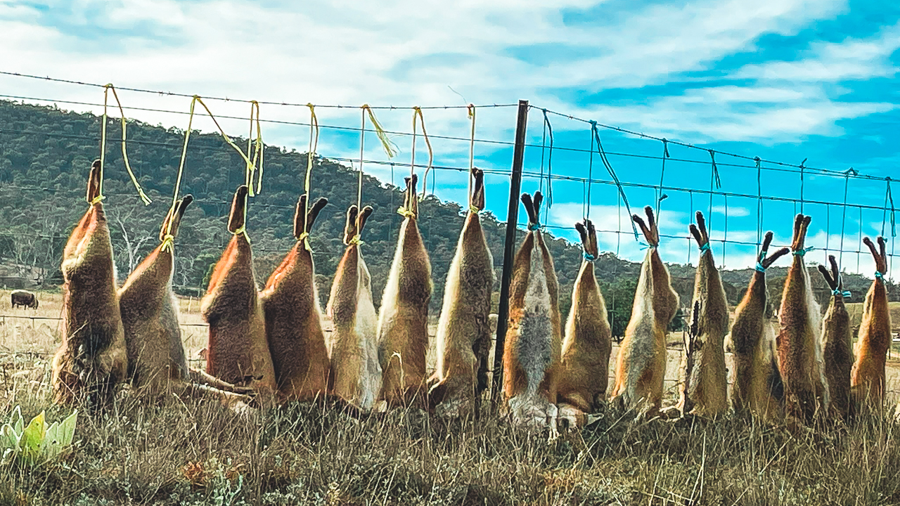
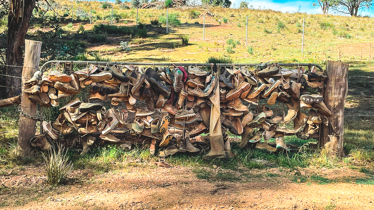
On the drive in we passed a fence lined with about 20 freshly shot foxes strung up along it. There were also the remains of many more that had clearly been there for quite a while. Years ago it was common to see foxes hanging from fences in rural areas as part of pest control programs. It is something you do not see very often anymore.

It was a shame that we could not actually reach Westermans Homestead itself. It was still an interesting reminder that access conditions can change quickly in remote national park areas. It is always worth checking road closures and park alerts before planning a trip into the NSW High Country.

The drive through this section was still worthwhile thanks to the scenery and remote feel of the area. It definitely felt like proper Snowy Mountains backcountry touring.

Dead Foxes On Fence Along Boboyan Road

Dead Foxes On Fence Along Boboyan Road

Brayshaws Homestead

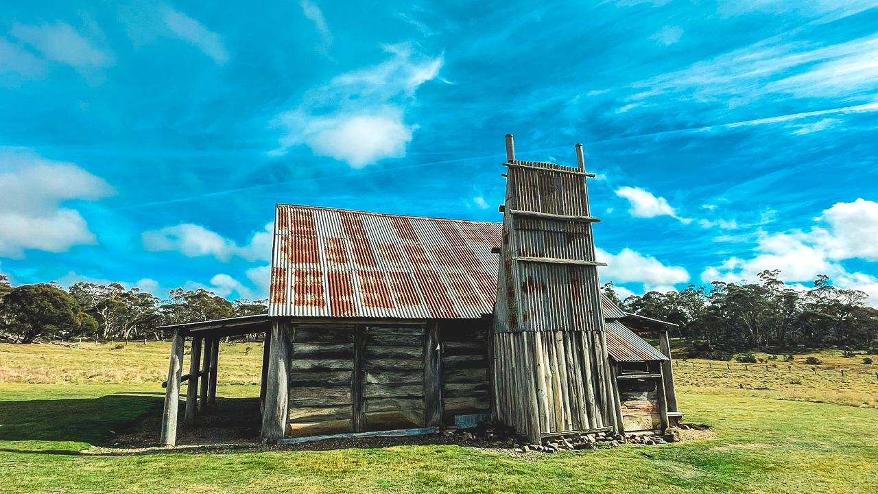
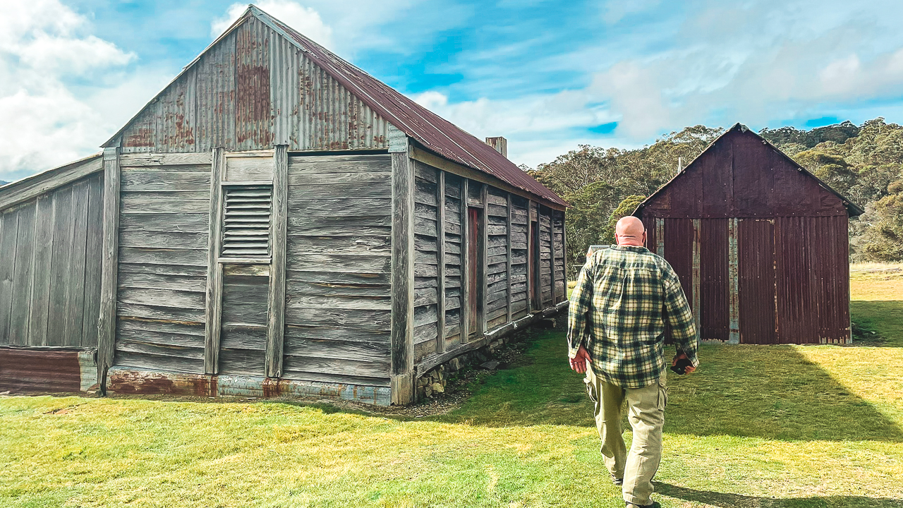
After leaving the Westermans area we continued on towards Brayshaws Homestead. This ended up being one of the more interesting Snowy Mountains historic huts we visited during the trip.

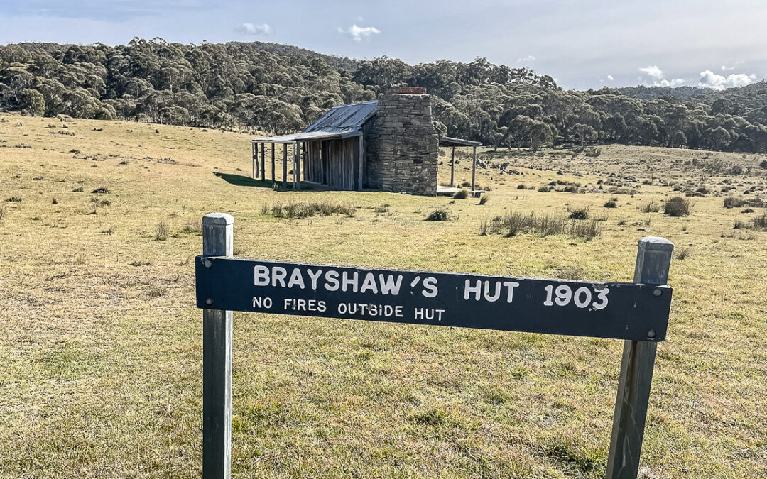
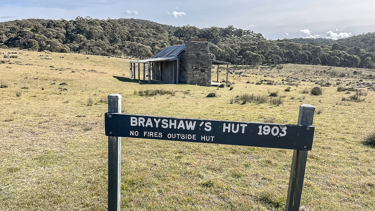
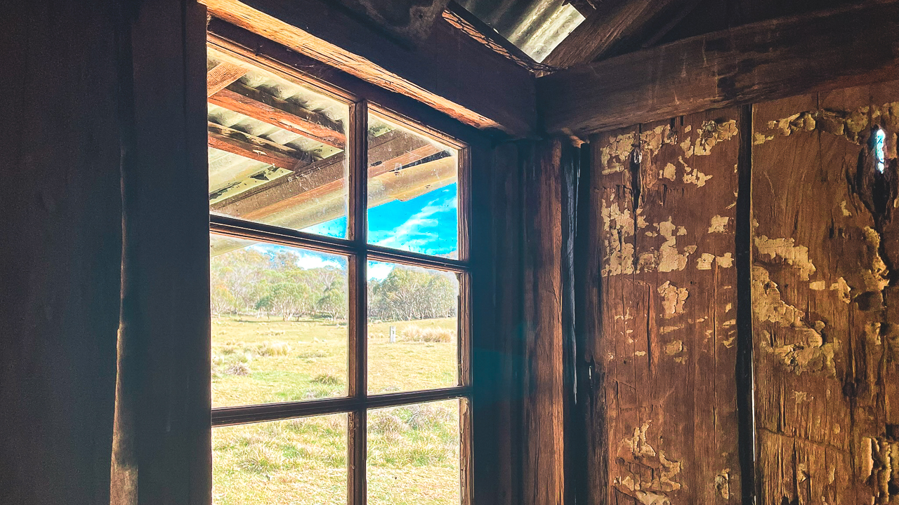
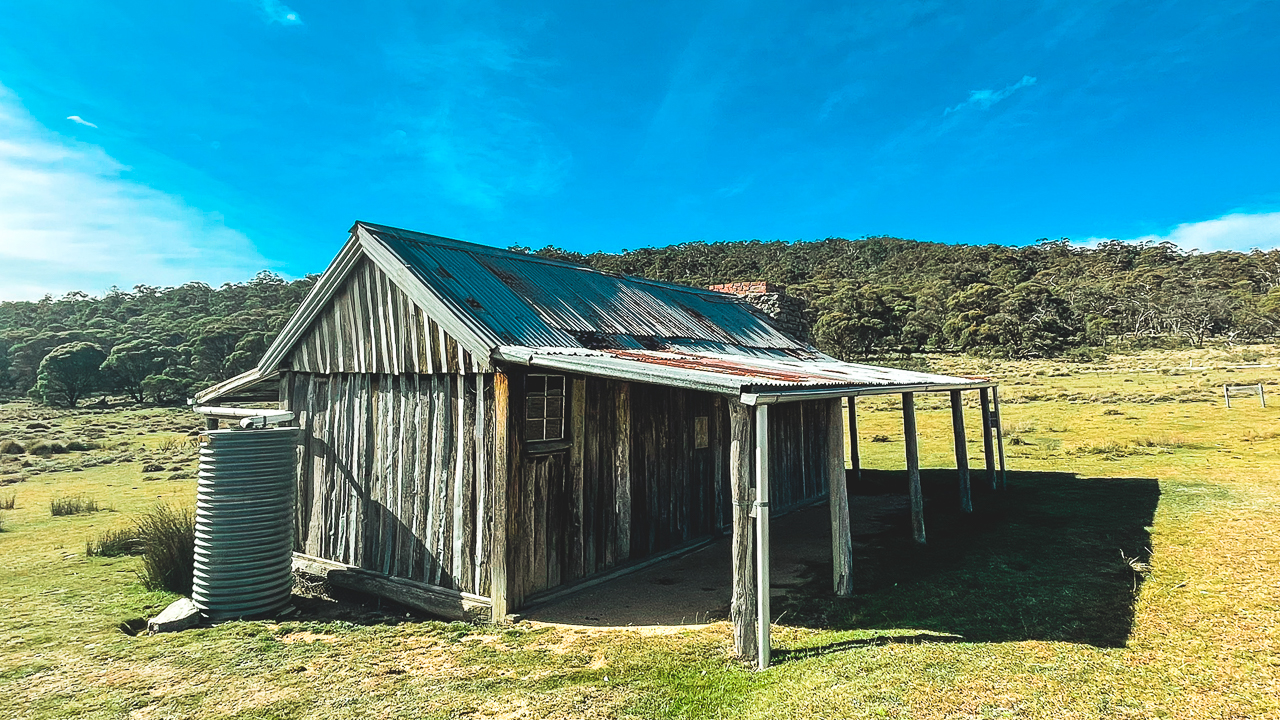
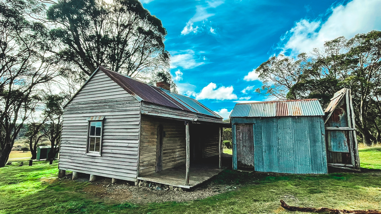
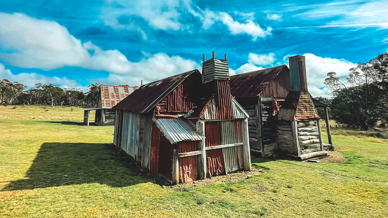
Brayshaws Homestead is a vertical slab hut built in 1903. Compared to some of the larger homesteads in the region, this one is very basic and simple. It gives a good idea of how tough life would have been for early settlers living in the high country.

The timber slab walls, small rooms and basic layout all show how practical these huts needed to be. Winters in this part of the country would have been extremely cold and isolated.

The owner reportedly lived there for around 28 years until his death. According to one of the information boards site he died from exposure after falling from his horse and suffering injuries.

Walking around the hut today it is easy to imagine how remote this country would have felt in the early 1900s. Even with modern vehicles and roads it still feels isolated.

Brayshaws Homestead is well worth visiting if you are interested in Snowy Mountains history, old grazing properties or historic huts in the NSW High Country.

Brayshaws Homestead Snowy Mountains Historic Hut

Brayshaws Homestead Snowy Mountains Historic Hut

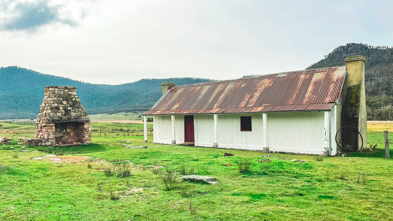
Orroral Homestead – One Of Our Favourite Snowy Mountains Historic Huts

Orroral Homestead was the final homestead of the day. It was another excellent stop and probably the most impressive building we visited during our two day trip.

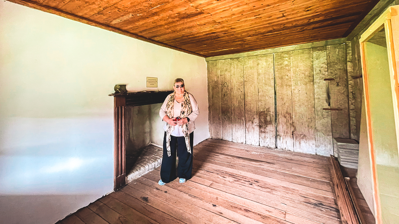
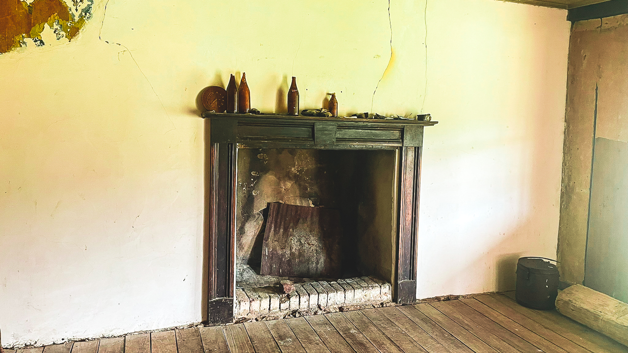
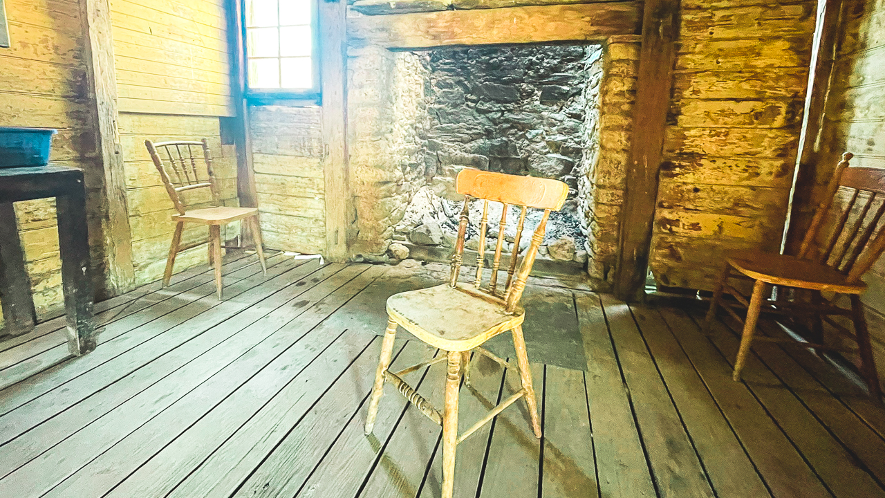
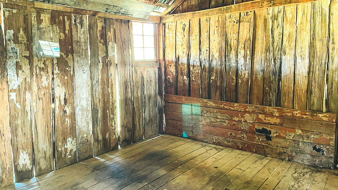
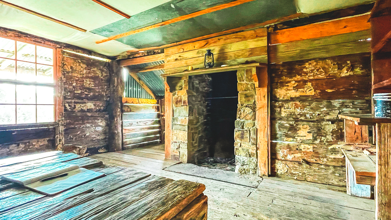
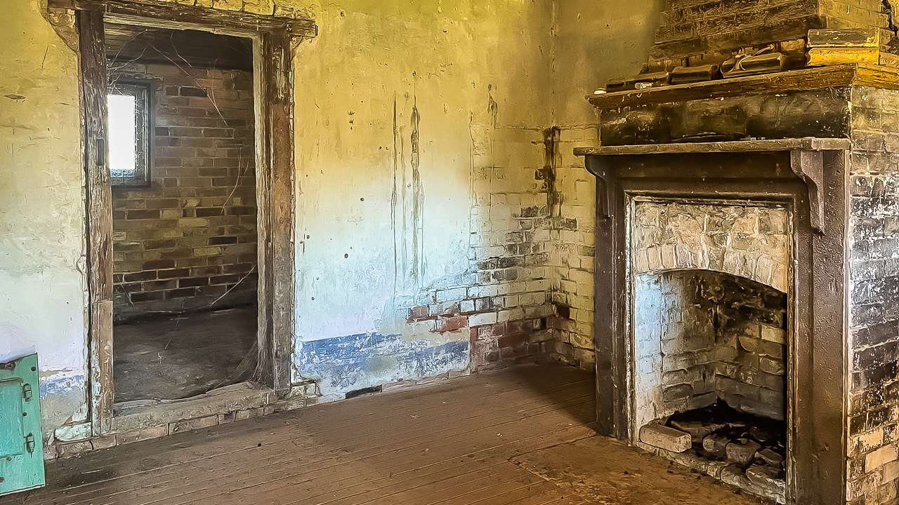
Like Brayshaws, this homestead was also built using vertical slab construction, however it was much larger and clearly built to a higher standard. Inside there were still remnants of wallpaper attached to some walls along with signs of old plaster work.

Compared to the smaller huts we had seen over the previous few days, this place felt much more substantial and comfortable for its time. It would have been a major property in the area during its working years.

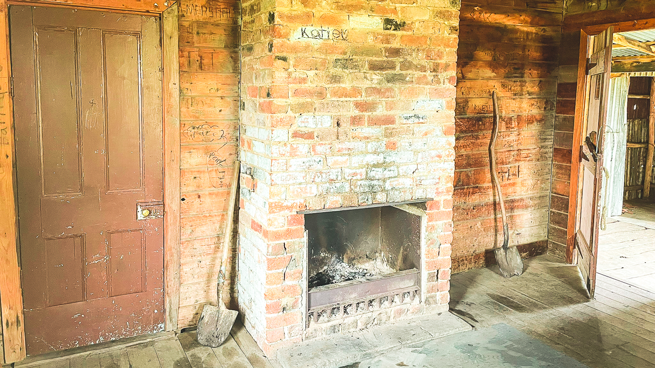
Amanda Near One Of The Fireplaces Inside Orroral Homestead

Amanda Near One Of The Fireplaces Inside Orroral Homestead

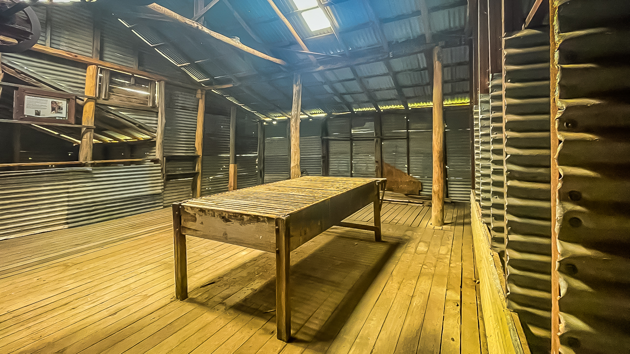
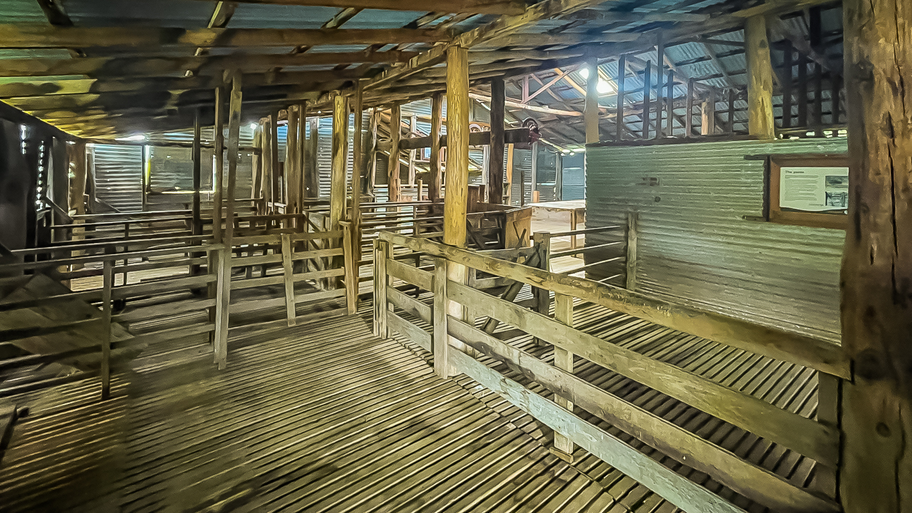
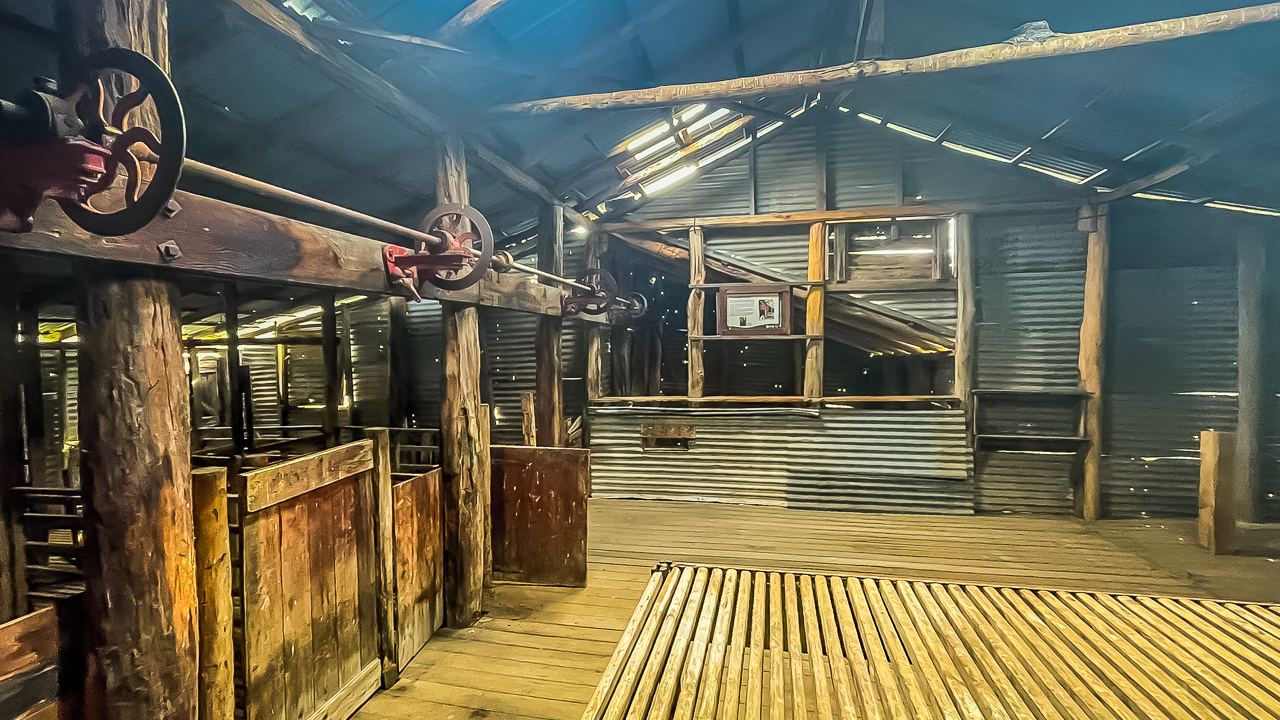
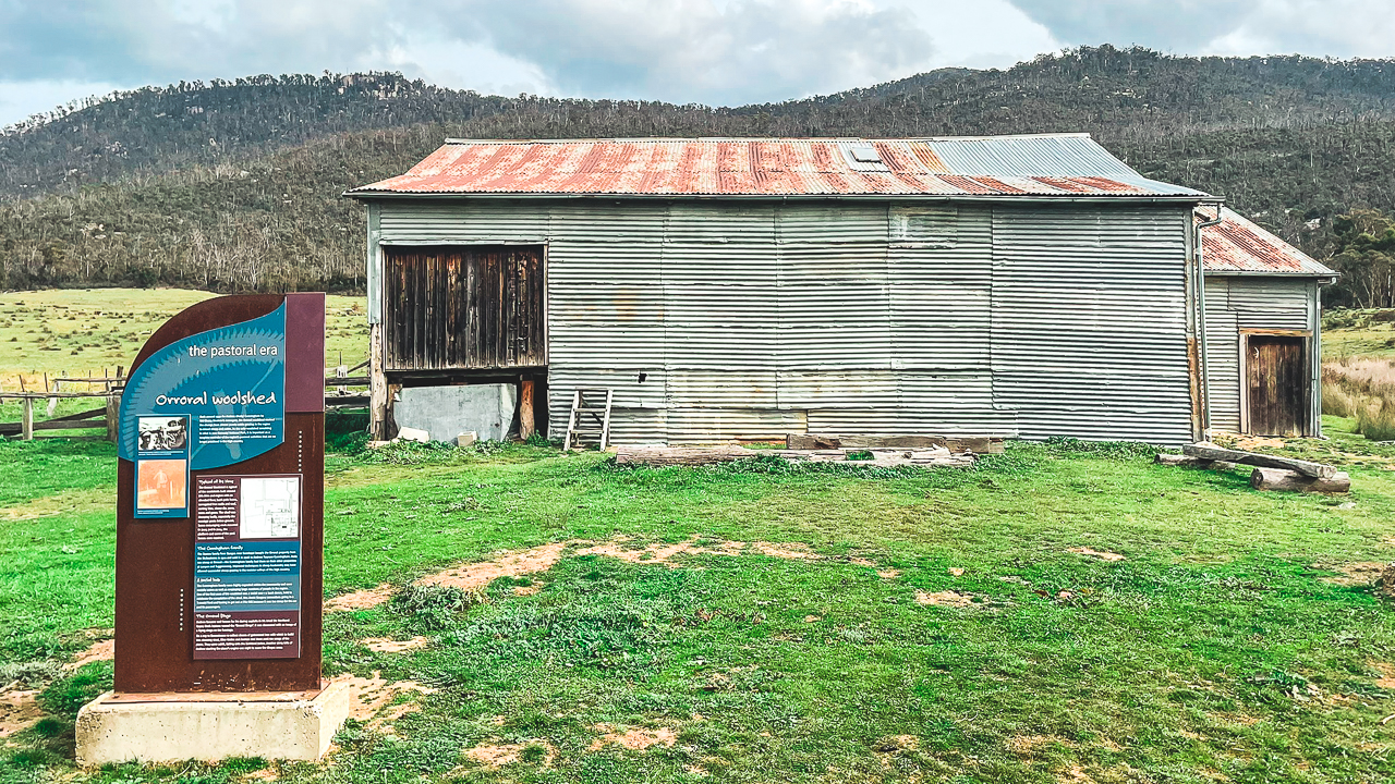
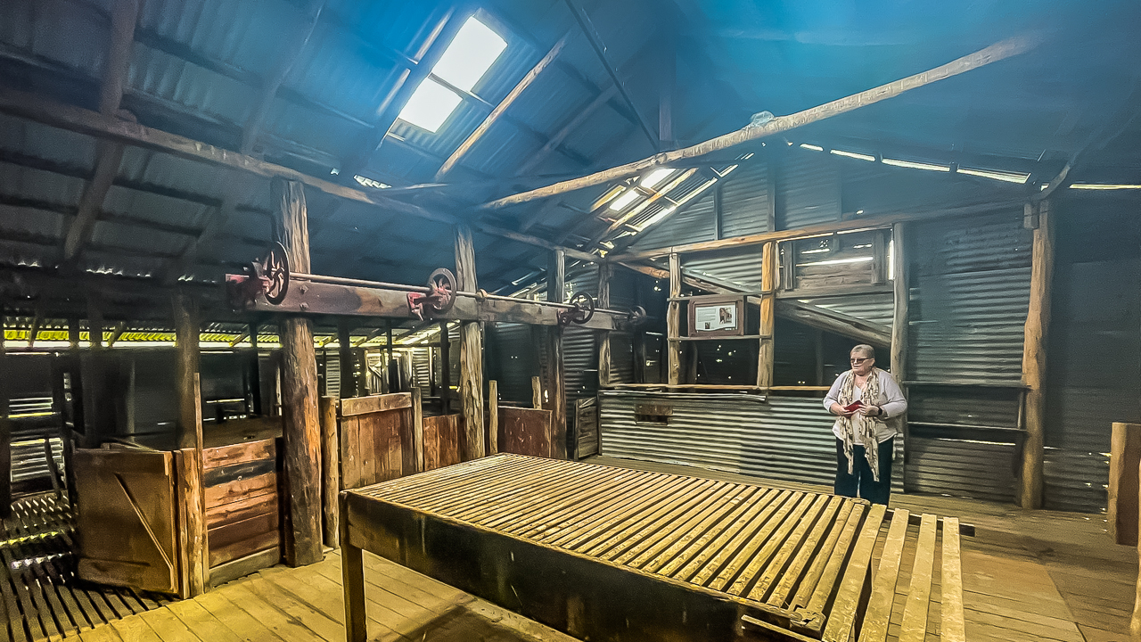
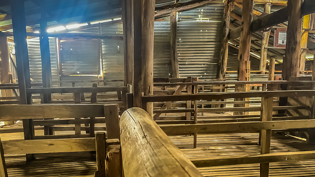
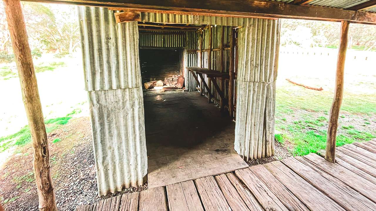
One of the highlights was the shearing shed which was still fully intact. The shed was built in 1930 and gave a good look at how sheep grazing operations would have been run in the Snowy Mountains region.

We spent quite a while walking through the old buildings and looking around the sheds before continuing on. These sorts of places are one of the best parts about exploring the NSW High Country because so much history is still sitting out there in the bush.

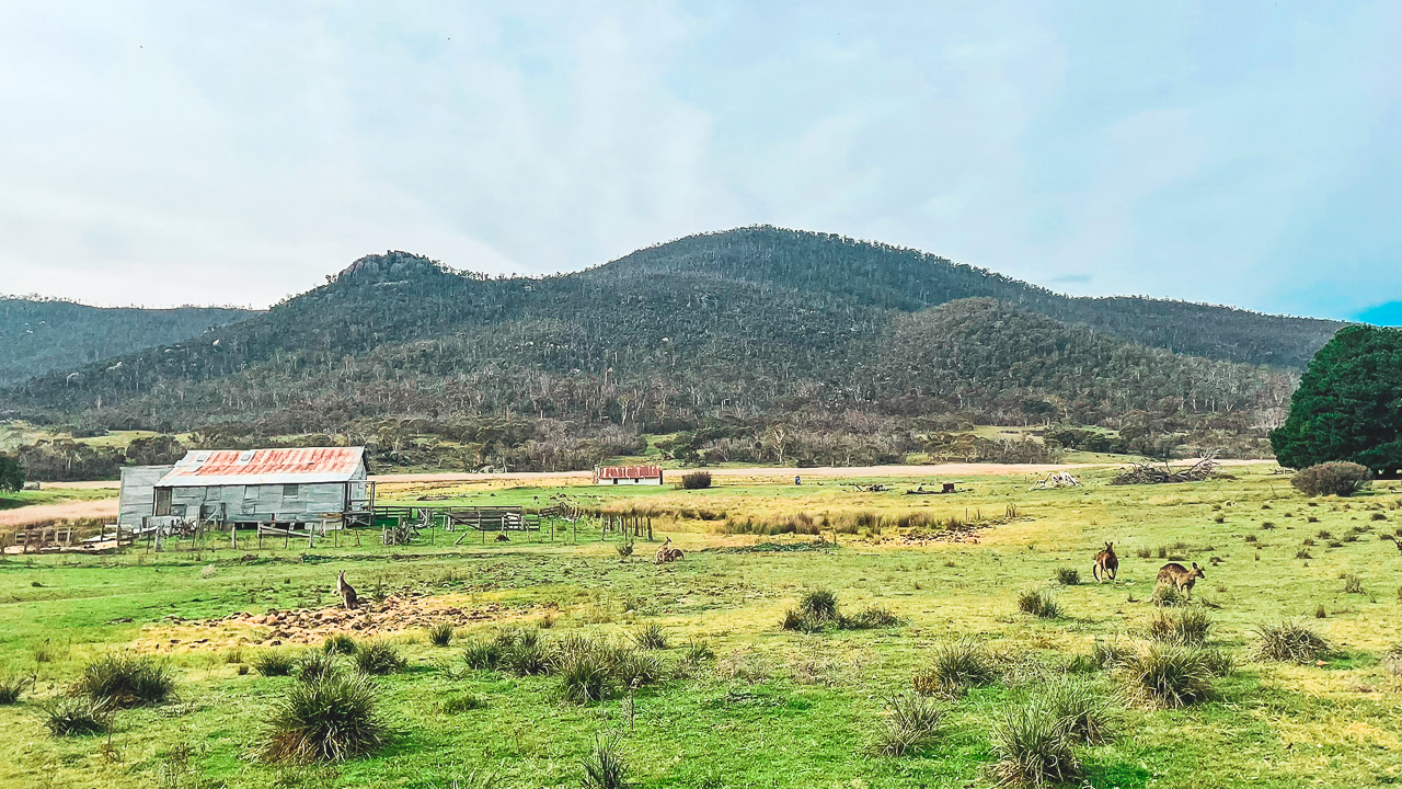
If you want the opportunity to get up close and personal with some Skippyroos then Orroral Homestead is just the thing for you. It’s about a 1.5km return walk from the parking area on Orroral Road to the homestead and shearing shed and there must have been around a 150 kangaroos in residence. They’re fine and pose no problem at all, if you leave them alone they ignore you and do what they do – which isn’t much.

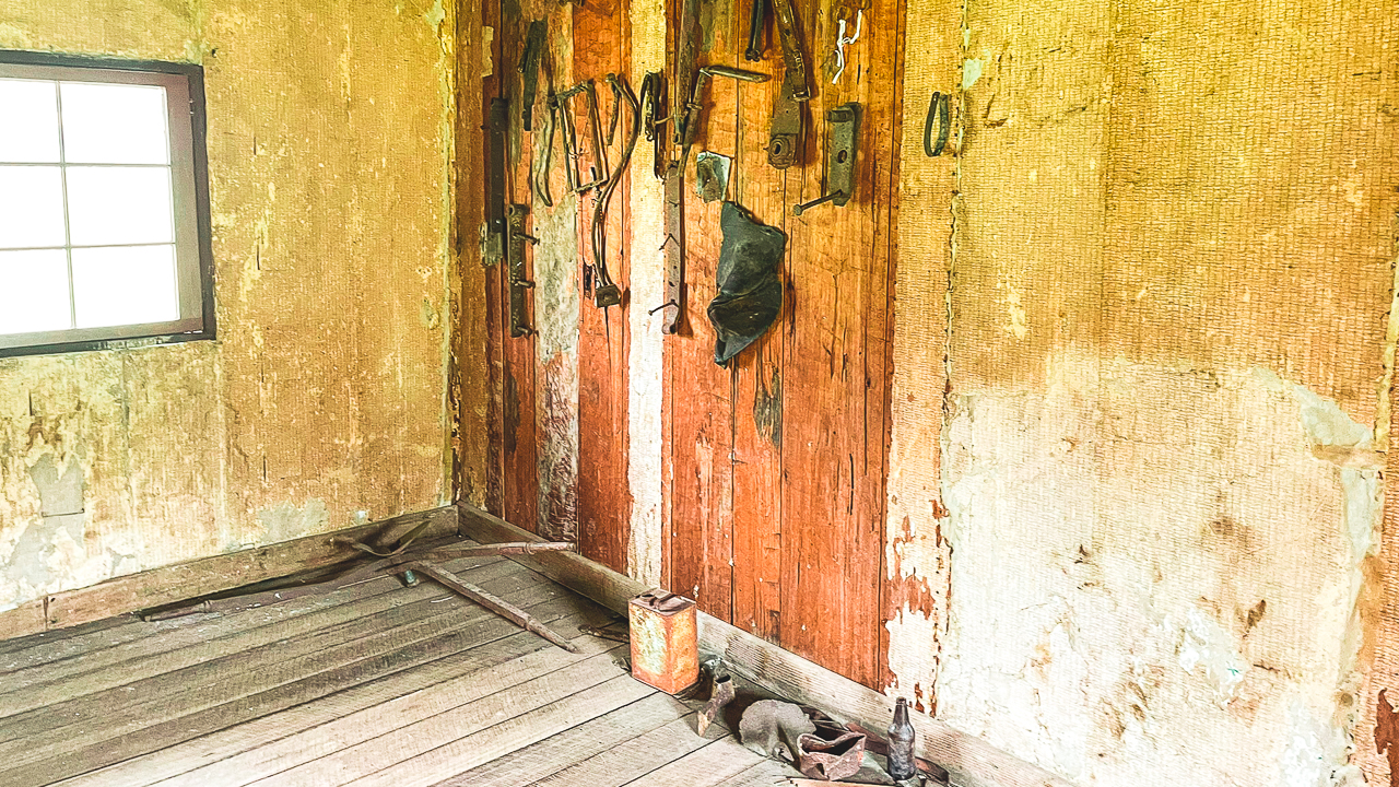
Orroral Homestead Shearing Shed Sorting Table

Orroral Homestead Shearing Shed Sorting Table

Another Great Day Exploring Snowy Mountains Historic Huts

By the end of the day we had covered a lot of ground through the NSW High Country and visited several very different historic huts and homesteads. The combination of rough roads, mountain scenery and historic sites made this a interesting day.

Some were small and basic while others were larger and more developed, but all of them offered a look into what life would have been like for the early settlers, stockmen and graziers who lived and worked in this region.

The roads were rough in sections but overall it was an enjoyable touring route with plenty of variety. Between the dirt roads, mountain scenery and remote historic sites it felt like a proper Snowy Mountains adventure.

Amanda and I both had a great time exploring this part of the high country and we are already planning another trip back to discover more Snowy Mountains historic huts and remote touring routes.

We have now spent many trips exploring the Snowy Mountains and NSW High Country focusing on historic huts. We also enjoy the alpine touring routes and remote camping areas across the region.

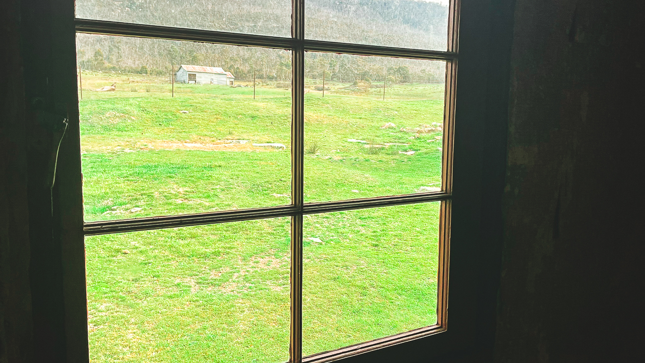
View Down To Orroral Homestead

View Down To Orroral Homestead

Snowy Mountains Historic Huts Photo Gallery

Snowy Mountains Historic Huts FAQs: Access, History And 4WD Touring Guide

What are some of the best Snowy Mountains historic huts to visit?

Some of the best Snowy Mountains historic huts and homesteads include Brayshaws Homestead, Westermans Homestead, Orroral Homestead, Coolamine Homestead and Geehi Hut.

Can you visit Westermans Homestead?

Access to Westermans Homestead can sometimes be closed due to park management activities including aerial pest control programs. It is important to check current national park alerts before visiting.

What is Brayshaws Homestead?

Brayshaws Homestead is a historic vertical slab hut built in 1903 in the NSW High Country. It gives a good insight into how early settlers lived in remote mountain areas.

What is Orroral Homestead like?

Orroral Homestead is a much larger vertical slab building compared to many other high country huts. It still contains remains of wallpaper, plaster work and an intact shearing shed built in 1930.

Do you need a 4WD to visit these Snowy Mountains historic huts?

A 4WD is recommended for many of the roads in the NSW High Country, especially after rain or during colder months. Roads can be rough, corrugated and rocky in sections.

Are the roads difficult in this area?

Most of the roads are manageable in dry conditions but some sections can be rough with corrugations, potholes and uneven surfaces. Conditions can change quickly depending on weather.

Where is Brayshaws Homestead located?

Brayshaws Homestead is located in the NSW High Country near the Boboyan Road area west of the Snowy Mountains region.

Can you camp near these historic huts?

Camping is available in many parts of the NSW High Country, although camping rules vary depending on the location and whether the area is inside a national park.

When is the best time to explore Snowy Mountains historic huts?

Late spring through to autumn is generally the best time to visit. Winter conditions can include snow, road closures and difficult driving conditions.

Why are Snowy Mountains historic huts important?

The huts and homesteads preserve the history of early settlers, stockmen and grazing families who lived and worked in the remote alpine regions of New South Wales.
Exploring NSW High Country Huts Day 1

Exploring NSW High Country Huts Day 1

Exploring NSW High Country Huts Day 1

We spent a full day driving and exploring parts of the NSW High Country, focusing on historic huts, old homesteads and key natural sites across Kosciuszko National Park. The route included Coolamine Homestead, Blue Waterholes, Cooindel Hut and Geehi Hut, along with drives through Kiandra, Link Road and Alpine Way.

This guide is based on first-hand travel through the region in typical touring conditions using a standard 4WD on maintained dirt roads. It covers what each stop is like today, access conditions and what you can expect to see on the ground. The aim is to provide practical, up-to-date information for anyone planning a similar NSW High Country trip focused on huts, scenery and easy off-road touring routes.

Coolamine Homestead

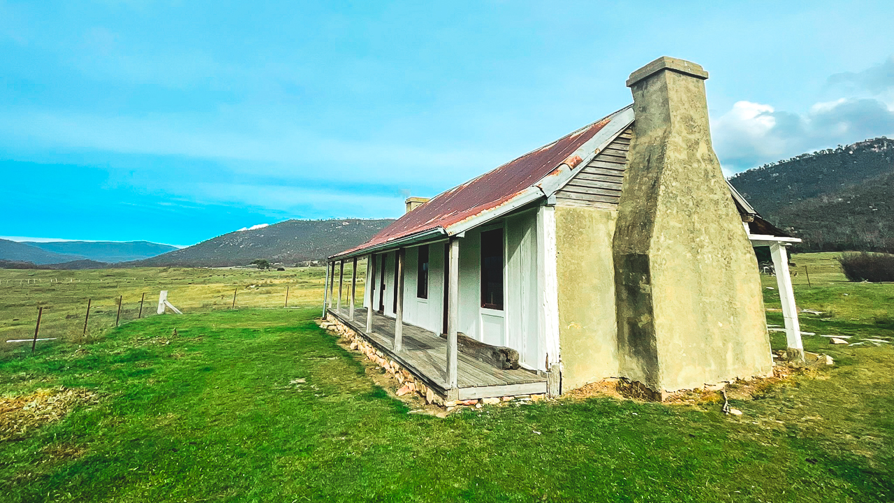
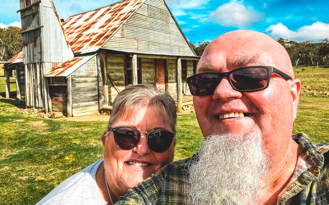
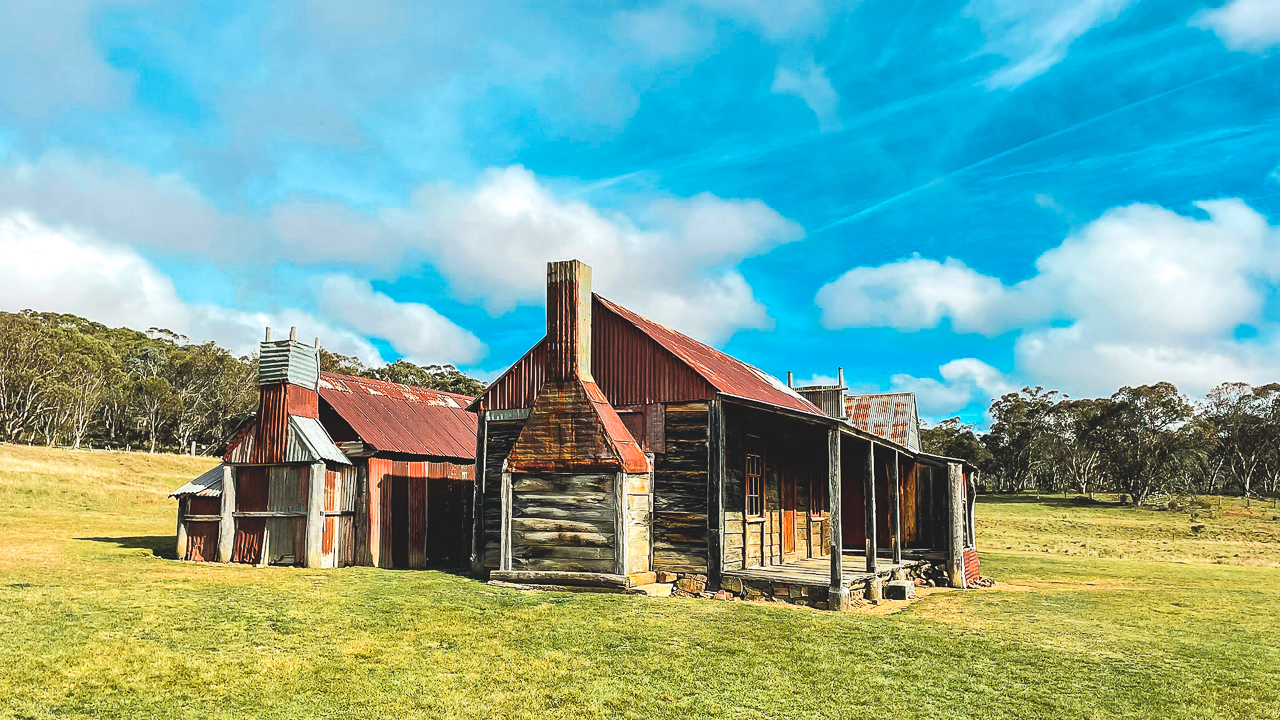
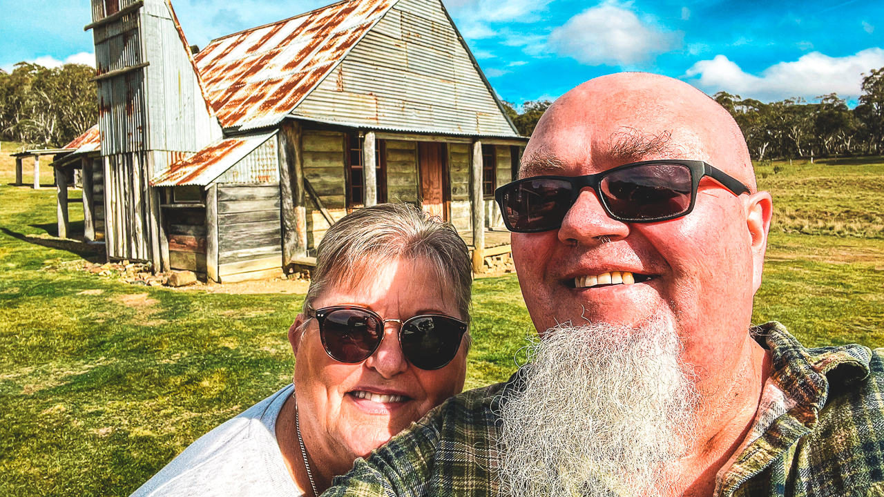
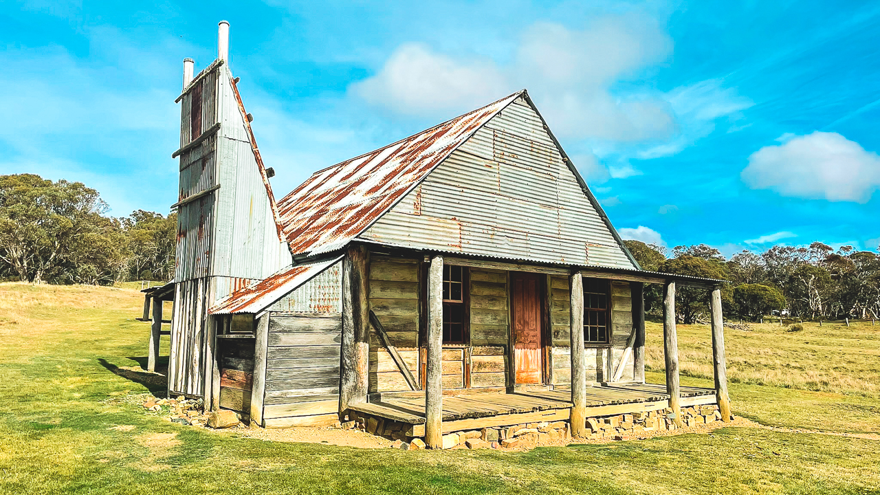
Our first of our NSW high country huts was Coolamine Homestead and it was the standout for the day. I’d seen a few videos of it on YouTube including one of Coolamine Homestead being restored in the 1970’s. Located in the Long Plain area of Kosciuszko National Park, Coolamine is one of the better preserved historic homesteads in the Snowy Mountains region. The drive in was easy and suitable for most vehicles in dry weather. In et weather it would be quite interesting. Once we arrived, we spent some time walking around the buildings and reading the information signs around the site.

The Spectacular Coolamine Homestead One Of Many NSW High Country Huts

The Spectacular Coolamine Homestead One Of Many NSW High Country Huts

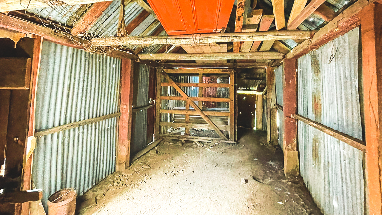
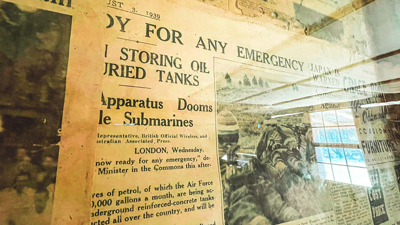
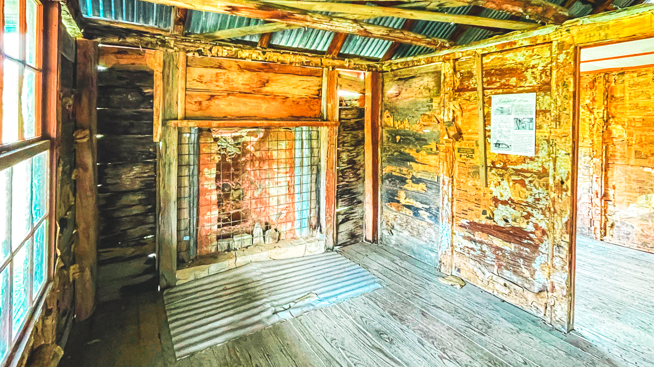
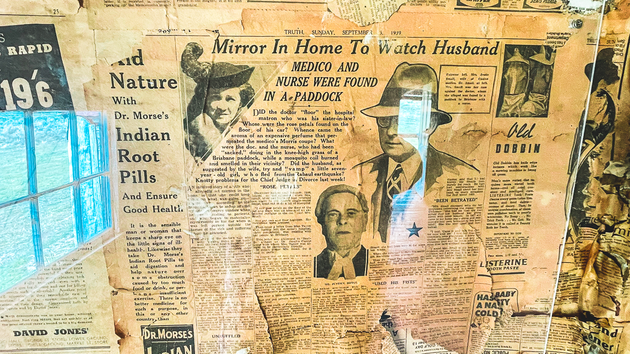
The homestead itself is in very good condition and there are several old sheds and smaller buildings nearby. The area around Coolamine is wide open with grassy plains and mountain views in the distance. It is easy to see why early settlers used this area for grazing cattle and sheep. Even though it is a popular stop, it still feels quiet and remote. A highlight of the main building was the preserved old newspapers lining the walls. They made for some interesting reading. Another thing we liked about Coolamine was how complete it still is compared to some of the other historic sites in the high country. A lot of old huts have fallen apart over time, but Coolamine still gives a good idea of what life would have been like here many years ago.

It is an easy place to spend an hour or so just walking around and taking in the surroundings. If you are travelling through this part of the Snowy Mountains it is definitely worth the detour.

Blue Waterholes

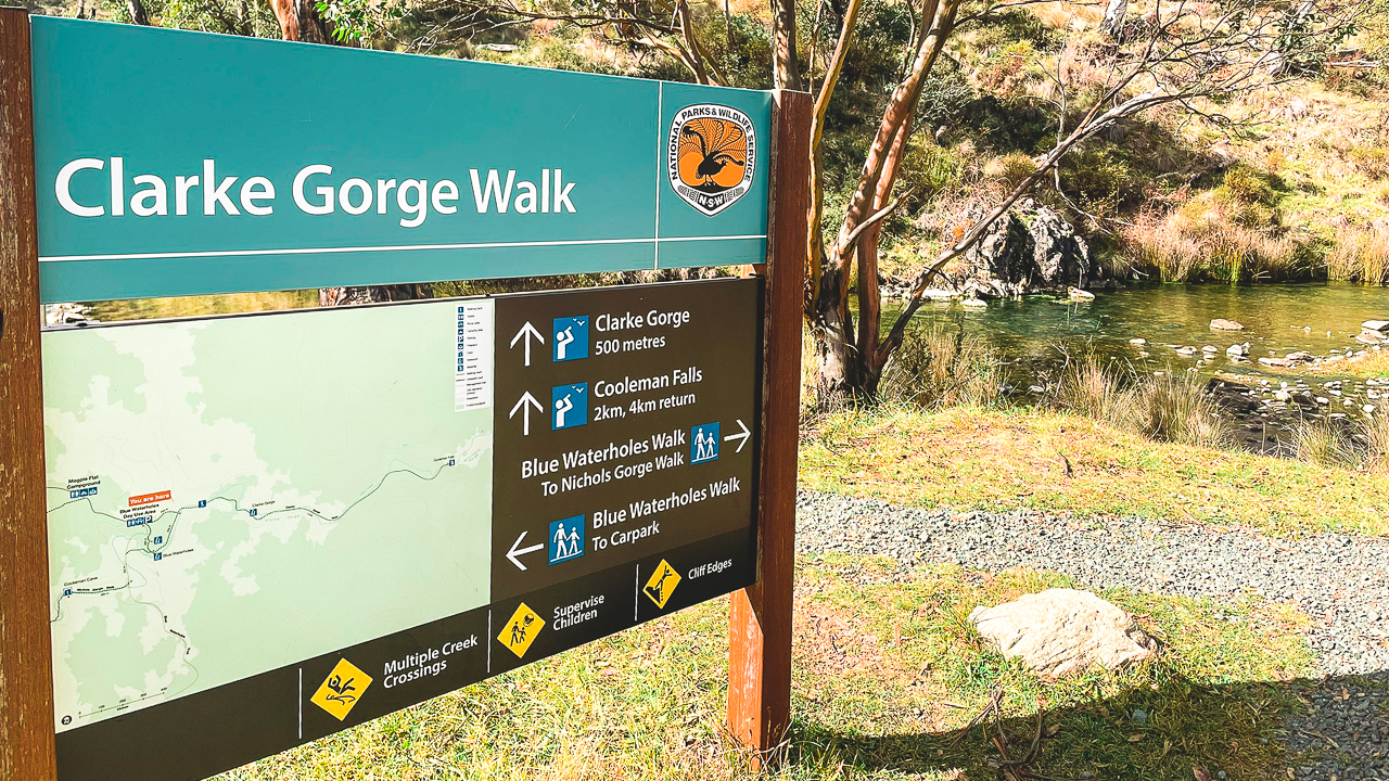
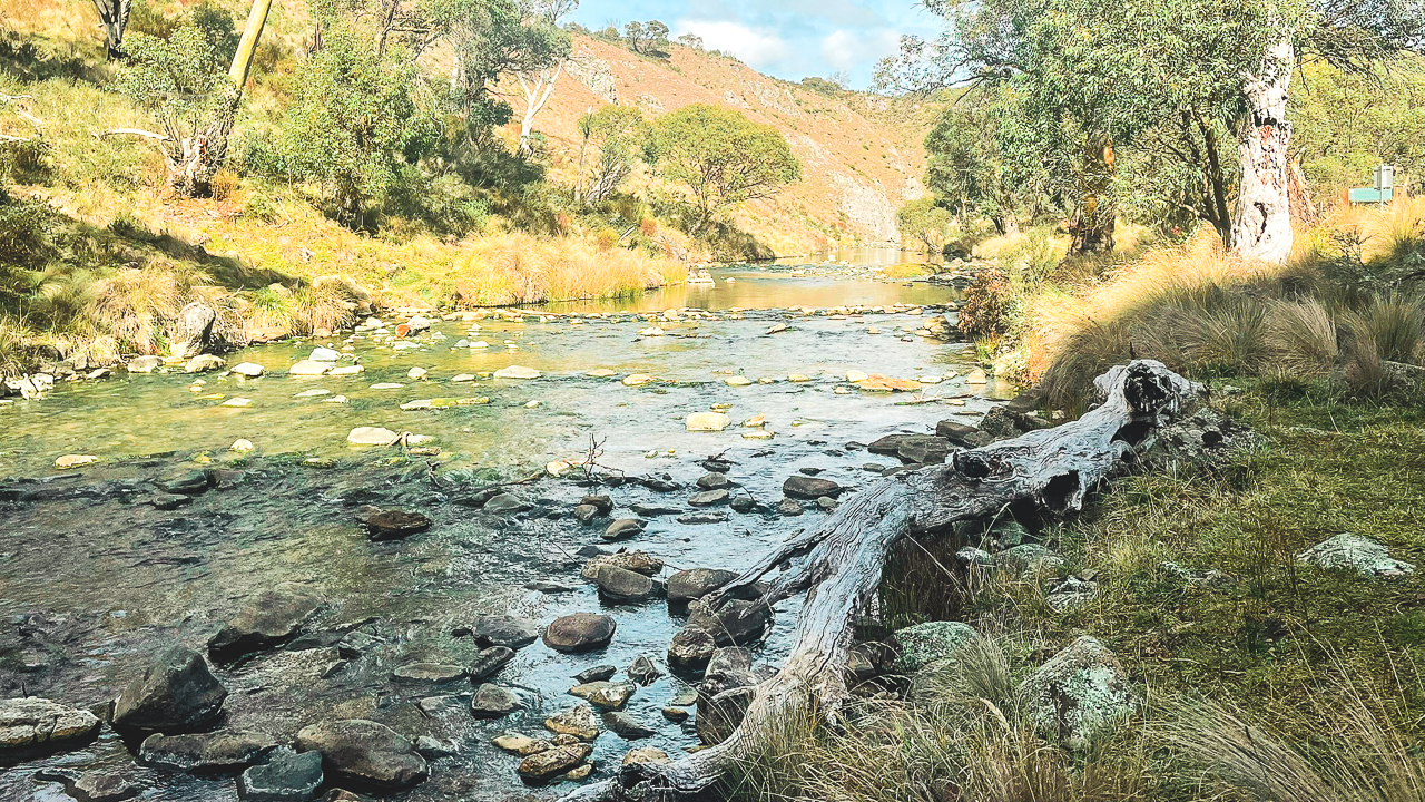
From Coolamine we headed across to Blue Waterholes – it’s only another 8km return from Coolamine Homestead. This is one of the more well-known spots in the northern part of Kosciuszko National Park and it is easy to see why. Blue Waterholes is known for its clear blue water, limestone cliffs and walking tracks. We parked near the campground and went for a walk around the area. The tracks were easy and gave good views over the river and waterholes.

The landscape around Blue Waterholes is very different to other parts of the Snowy Mountains. Instead of thick bushland and alpine forest, the area is more open with rocky limestone country and caves. It has a very different look compared to the rest of the drive. The water was very clear and there were quite a few people around enjoying the area, although it still felt relaxed and quiet. There are a few different walking tracks around Blue Waterholes depending on how far you want to go. It is a good stop if you want to get out of the car for a while and stretch the legs. Even a short walk around the main viewing areas is worth doing.

Cooindel Hut

After leaving Blue Waterholes we continued on to Cooindel Hut. This was another interesting stop and one of the more complete huts we saw during the day. Cooindel Hut is smaller and more basic than Coolamine Homestead, but it still has a lot of character. The hut sits in a nice quiet area surrounded by bush and open country. A lot of huts in the high country are partly damaged or falling apart, but Cooindel is still mostly intact. That made it easier to picture what these huts would have been like when they were regularly used by stockmen and cattle workers.

We spent a bit of time walking around the hut and looking at the old timber construction before continuing on. These sorts of places are a good reminder of how isolated this country would have been in the past. The roads through this section were easy enough and suited relaxed touring rather than difficult four-wheel driving. Most of the day was more about the scenery and the historic sites than tackling hard tracks.

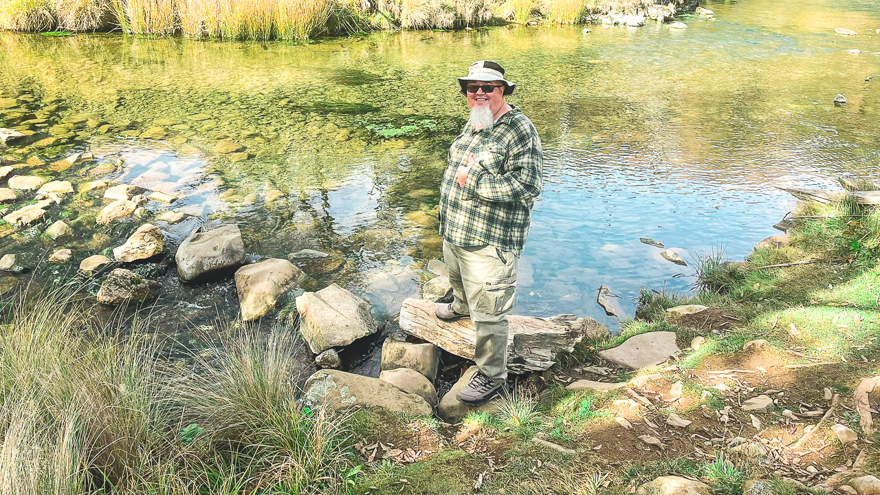
Me Beginning The Clarke Gorge Walk At Blue Waterholes In Kosciuszko National Park

Me Beginning The Clarke Gorge Walk At Blue Waterholes In Kosciuszko National Park

Kiandra, Link Road And Alpine Way
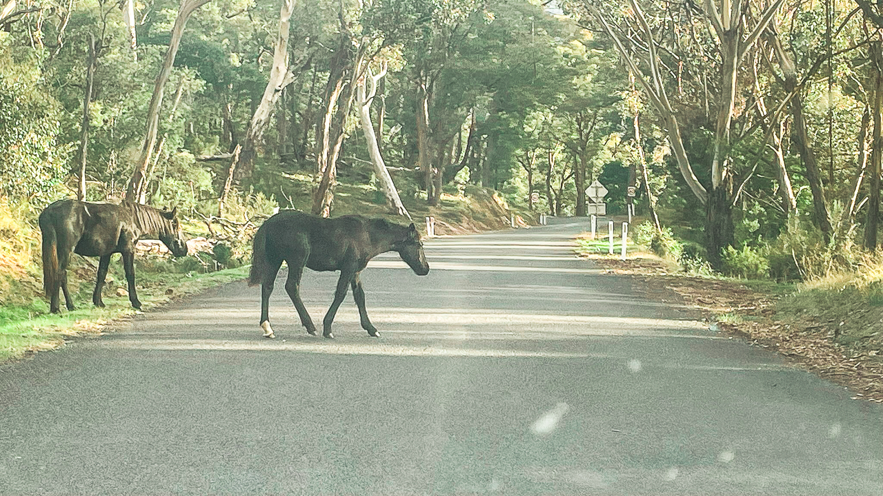
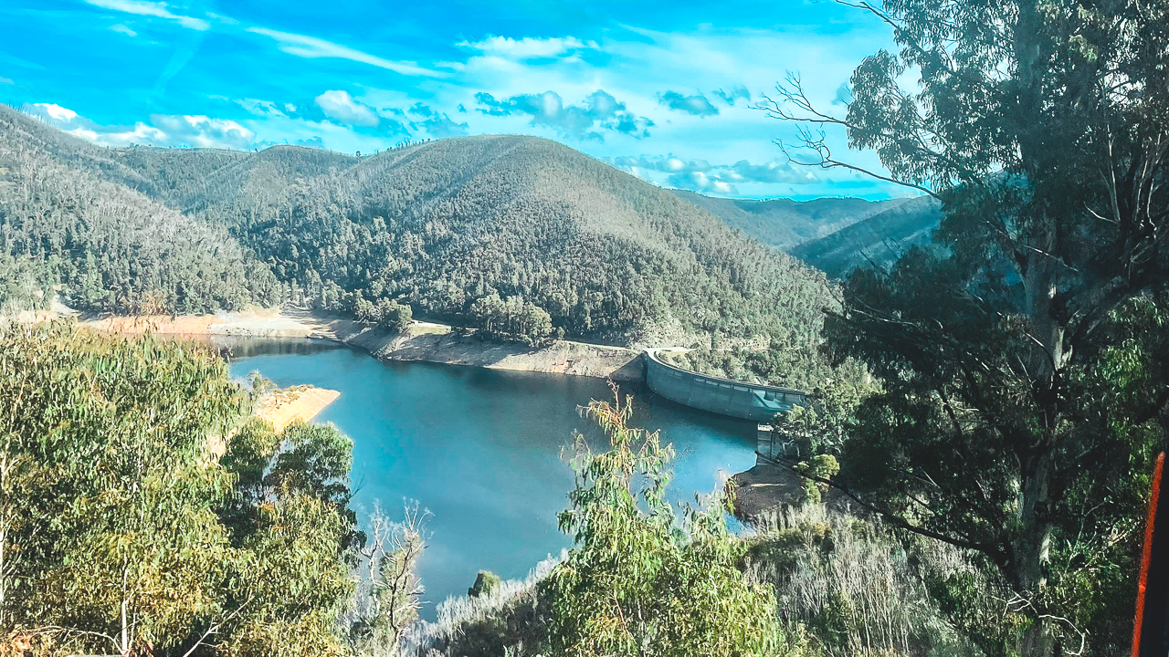
From Cooindel Hut we headed back out to the Snowy Mountains Highway and drove past Kiandra. Kiandra is one of the old gold rush towns in the Snowy Mountains and is an interesting area to drive through even if you are only passing by. The scenery through here was excellent with open plains, rolling hills and mountain views most of the way. Conditions were cool but clear which made for a good day on the road. We then turned onto Link Road and drove through part of the Snowy Hydro area. Along the way we passed several Snowy Hydro power stations and other infrastructure connected to the Snowy Mountains Scheme.
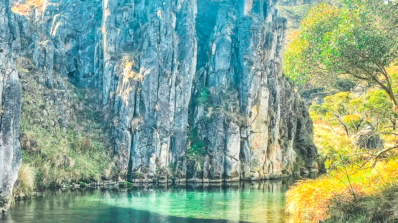
On The Link Road Heading Down To A Dam Thats Part Of The Snowy Hydro

On The Link Road Heading Down To A Dam Thats Part Of The Snowy Hydro

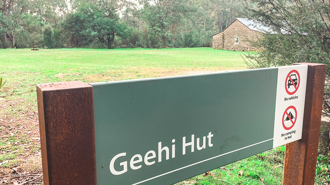
Geehi Hut

From there we joined Alpine Way and stopped at Geehi to have a quick look at another hut. Geehi is a nice area with good mountain views and plenty of camping.
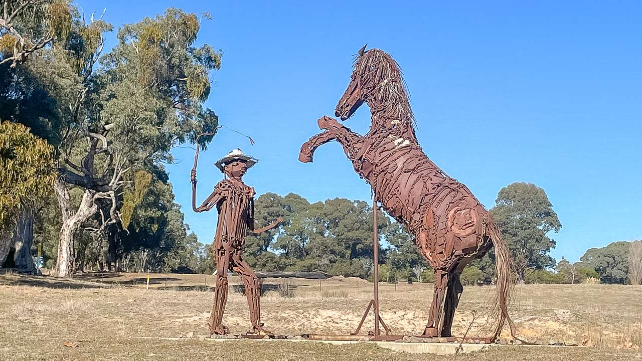
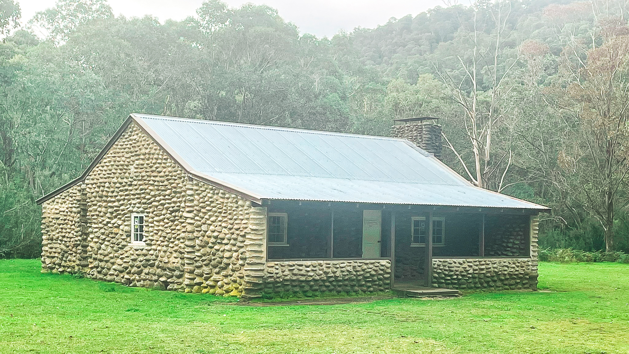
Geehi Hut was originally built in 1952 by Jim Nankervis and his brother to support cattle grazing and fishing trips in the area. At the time there was also a shelter, laundry, shed and toilet nearby, although some of those buildings have since been removed. The hut is easy to access today and can usually be reached in a standard 2WD vehicle in good conditions. There is also a large campground with plenty of space for tents and caravans.
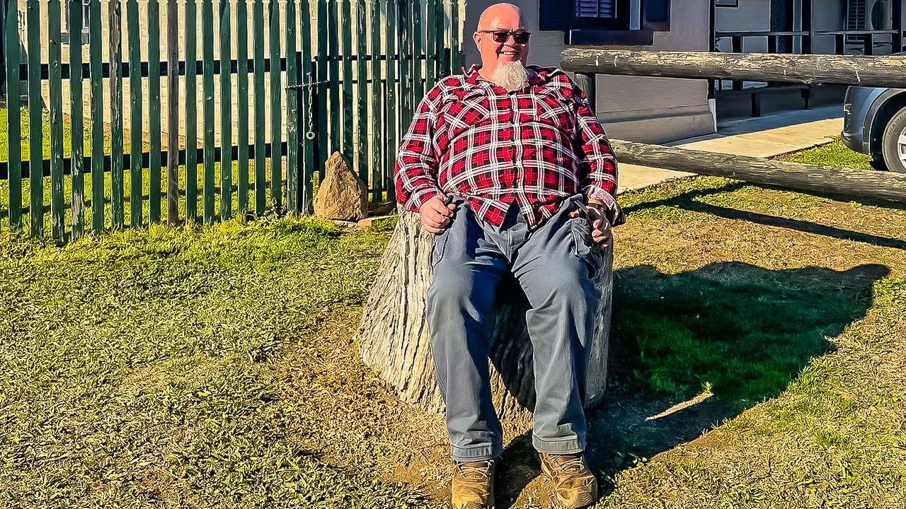
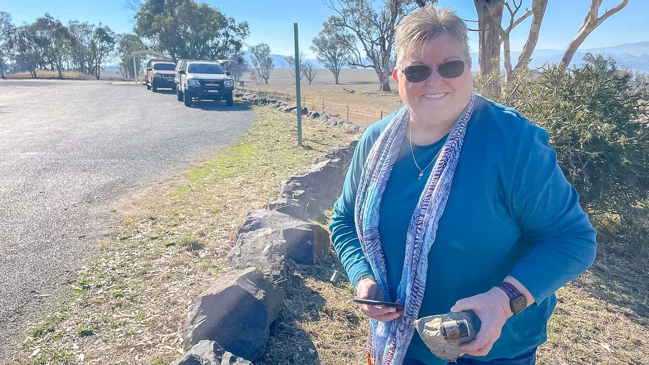
In 2004 the hut was rebuilt by the Kosciuszko Huts Association with help from NPWS staff and local four wheel drive clubs. The rebuilt hut was officially reopened in October 2004 with members of the Nankervis family attending.

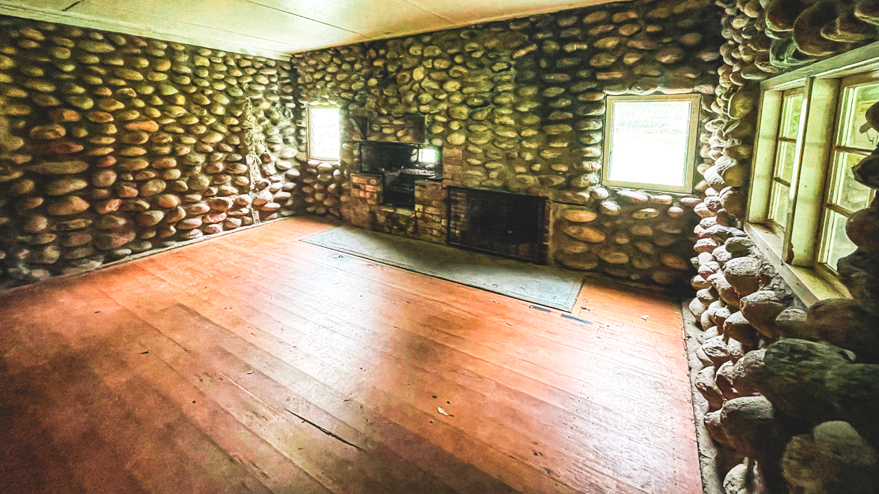
The hut itself is fairly large at around 11 metres by 9 metres and contains three rooms. It was built using local river stones with a concrete and dirt floor along with a large stone fireplace and chimney.

Geehi Hut Sign

Geehi Hut Sign

Stayed In A Cabin Overnight At Discovery Parks Jindabyne After exploring NSW High Country Huts

After Geehi we continued on past Thredbo and eventually reached Jindabyne for the night. We stayed in a cabin at Discovery Parks Jindabyne and it was fantastic. It’s quite a nice looking and well maintained park. We finished the day with Indian for dinner from in town before settling in to watch the footy after a full day exploring the NSW High Country.

Exploring NSW High Country Huts Day 1 Photo Gallery

NSW High Country Huts FAQs: Access, Driving Conditions And What To Expect

What is NSW High Country Huts travel like?

It is generally easy 4WD touring on maintained dirt roads with short walks at most hut and natural sites. Most locations can be reached in dry conditions without technical driving.

Do you need a 4WD for this route?

A 4WD is recommended but not always strictly required in dry weather. Some roads can be rough, corrugated or closed in winter due to snow.

Can you visit Coolamine Homestead?

Yes, Coolamine Homestead is open to the public and accessible via a well-formed dirt road in Kosciuszko National Park. It is one of the best preserved historic sites in the area.

What is Blue Waterholes known for?

Blue Waterholes is known for its clear blue water, limestone formations and walking tracks. It is also a popular camping and day use area.

Is Cooindel Hut still intact?

Cooindel Hut is mostly intact compared to many other high country huts. It is smaller than Coolamine but still in good condition and accessible for viewing.

What is Geehi Hut like?

Geehi Hut is a reconstructed historic hut near Alpine Way. It is easy to access and located close to a large camping area with mountain views.

How long does this NSW High Country huts route take?

The full loop including multiple stops can be done comfortably in a full day, depending on how long you spend at each location.

Is there mobile reception in the area?

Mobile reception is limited or patchy across much of the NSW High Country, especially in valleys and remote sections of Kosciuszko National Park.

Are the roads suitable for beginners?

Yes, most roads on this route are suitable for beginner to intermediate drivers in dry conditions, as long as you drive carefully and avoid wet or snowy weather.

When is the best time to visit NSW High Country huts?

Late spring to early autumn is generally best when roads are open and conditions are more stable. Winter access can be restricted due to snow. Long Plains Road is closed between the June long weekend and October.

Geocaching The Oodnadatta Track

Geocaching The Oodnadatta Track

Geocaching The Oodnadatta Track

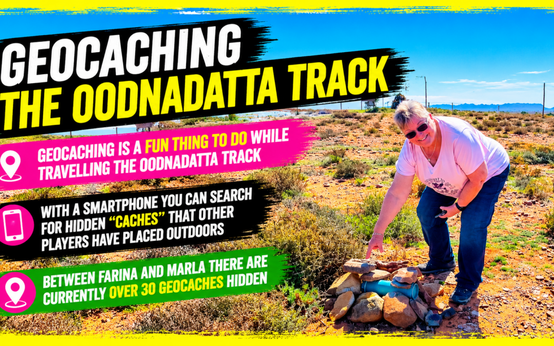
Geocaching is a fun thing to do while travelling the Oodnadatta Track. What is it and how do you do it? Read on!

With a handheld GPS or a smartphone (like an iPhone with built-in GPS), you can search for hidden “caches” that other players have placed outdoors. Once you find one, sign the logbook, update your stats online, and move on to the next cache. In case you’re wondering, our geocaching handle/name is “followourtravelsau”.

How Many Geocaches Are On The Oodnadatta Track?

Between Farina and Marla there are currently over 30 geocaches hidden. We’ve managed to find 11 of them. They’re hidden in a multitude of different locations, ranging from cemeteries to bridges to disused railway sidings. They’re everywhere.

The Oodnadatta Track is ideal for geocaching as many of the caches are hidden near great camping spots and points of interest. You’re out of the car to have a look at something or camp the night, both awesome opportunities to go for a walk and pick up a cache.Lots of the caches are in places of historical importance so have read about the cache in the app and learn some cool new stuff.

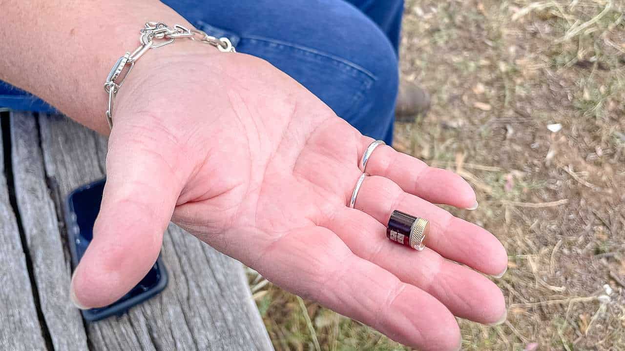
That's How Small A Nano Sized Geocache Is

That’s How Small A Nano Sized Geocache Is

How To Get Started Geocaching

  1. Create a free Basic Membership account at Geocaching.com
  2. Download the free version of the Geocaching app from iTunes or the Google Play Store
  3. Sign in to the app with your Geocaching.com account
  4. Tap ‘Find Nearby Geocaches’ to view a map of your area
  5. Choose a nearby cache (shown as small green, orange, or blue icons)
  6. Press ‘Navigate to Cache’ to bring up a compass and the distance to the cache in metres
  7. Locate the cache and sign the logbook
  8. Log your discovery in the app by tapping ‘Found it!’
  9. Keep in mind: the free ‘Intro’ version only allows you to find four geocaches before you’ll need to purchase the full app for $9.95.

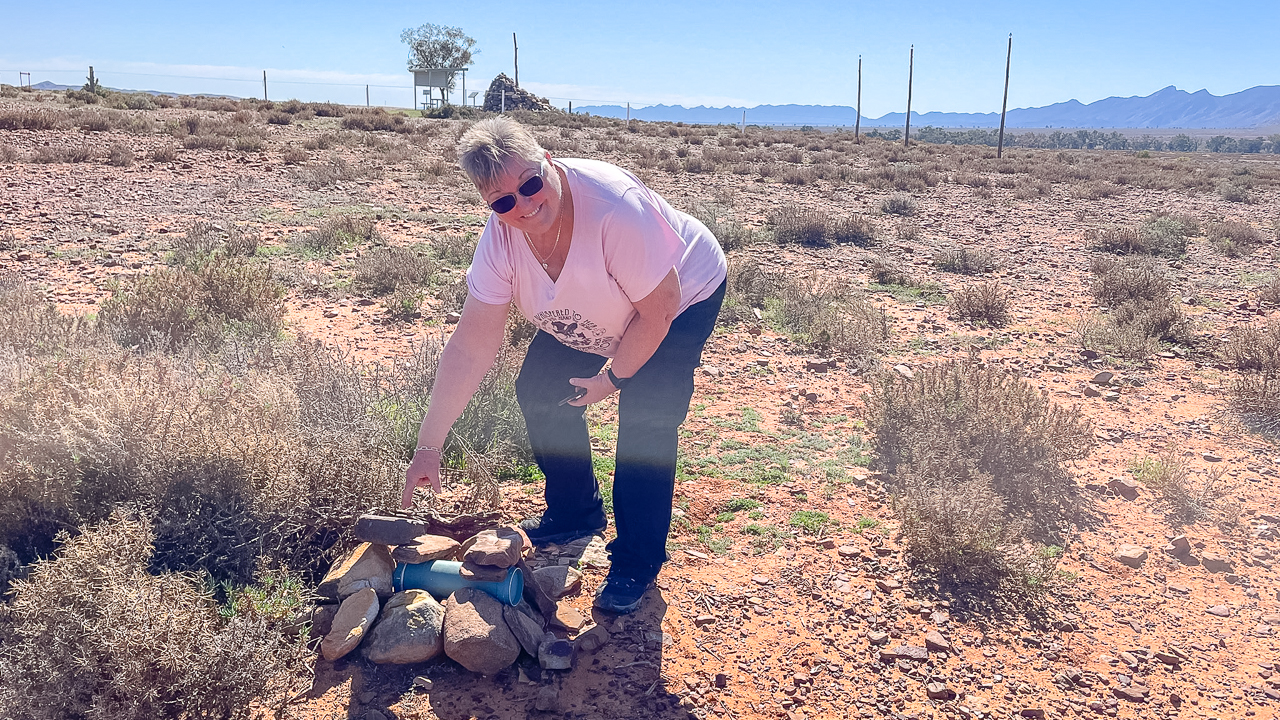
Amanda With An Oodnadatta Track Geocache

Amanda With An Oodnadatta Track Geocache

Geocaching The Oodnadatta Track Without An Internet Connection?

Yes and no. Until a year ago, we relied on our phones’ connections while geocaching. There’s not a lot of coverage on the Oodnadatta Track.

However, you can download geocache maps to your phone in advance. Using the maps in this way can be hit and miss – we found it difficult. We often check the previous logs when looking for a cache for hints and tips and you can’t do this without a connection.

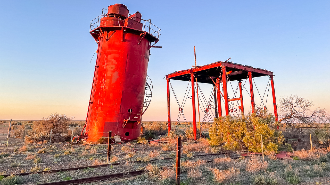
Geocache Is Somewhere Around Here At Curdimurka Siding

Geocache Is Somewhere Around Here At Curdimurka Siding

Geocaching With Starlink

Fast forward to mid 2025 and we installed a Starlink mini on the roof of our ute. Geocaching just got a whole lot better without a mobile connection! The WiFi signal works up to 50 metres away. We have the $8.50 standby plan most of the time and this is more than fast enough for geocaching.

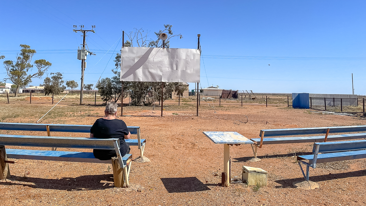
Theres A Geocache Hidden At The Movies In Oodnadatta

Theres A Geocache Hidden At The Movies In Oodnadatta

What Is Geocaching?

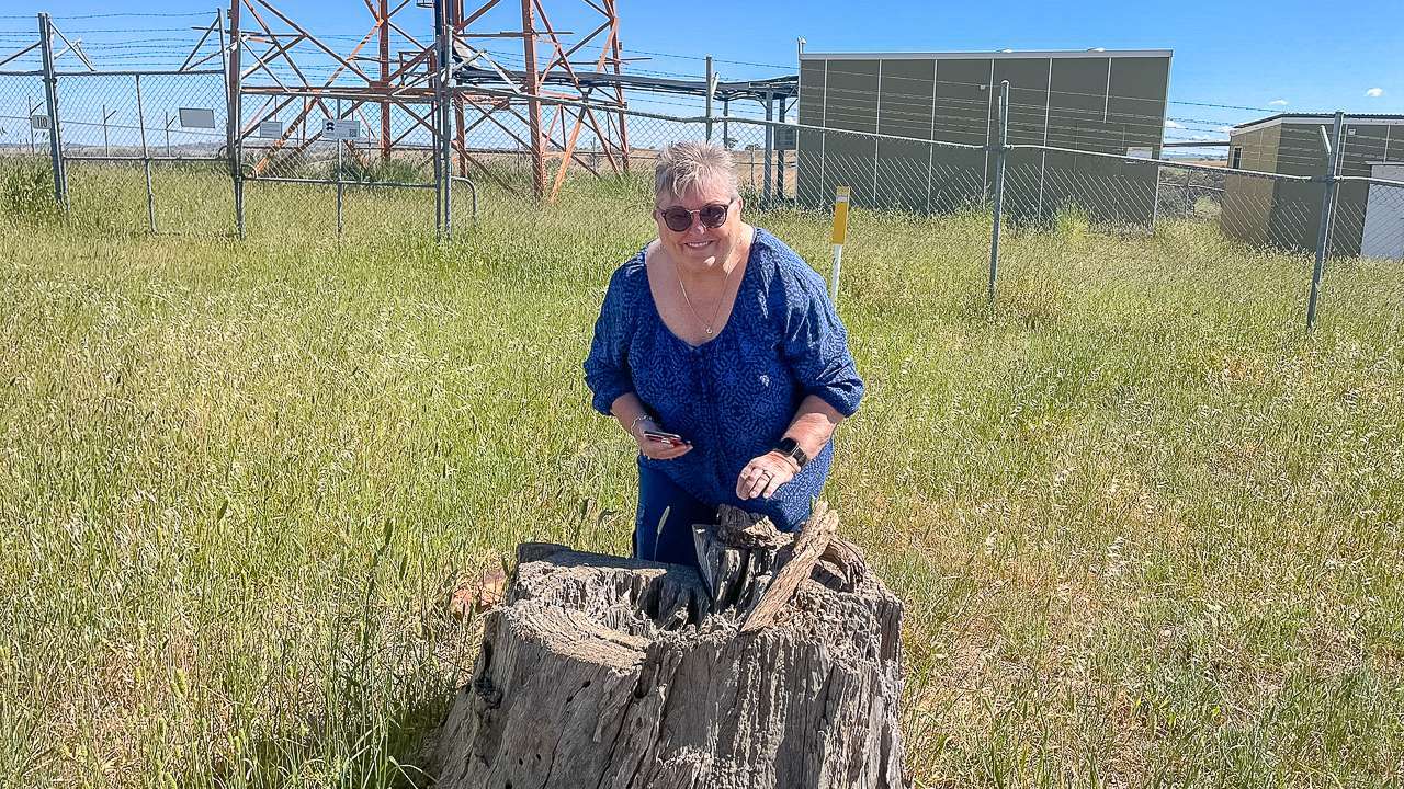
It’s like a high-tech treasure hunt that gets you out exploring – in this case along the Oodnadatta Track! Using GPS coordinates, you go on a mission to find hidden “caches” that other people have stashed away in sneaky spots. Each cache is generally different. It could be tucked away in anything from a tree stump in the bush to a spot behind a road sign. Caches can all look different too – it might be a little Tupperware container or it might be a mint tin or it could be a tiny little tube. In short, it can be anything at all. It’s a great way to see more of the great outdoors and discover places you’d probably never stumble across otherwise. Quite often, they are hidden in spots of historical significance. It’s fun for everyone and kids (and big kids) love it. Whether you’re just looking for something to do for an afternoon or are heading off on a road trip adventure along the Oodnadatta Track. Find and mark off as many caches as you can. Grab your phone and get ready for heaps of fun finding hidden caches.

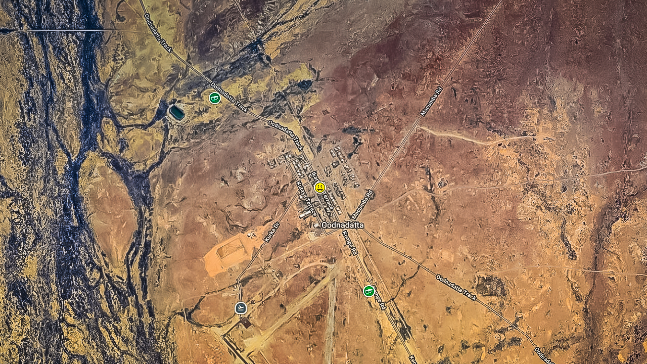
Geocaching Oodnadatta Track Around Oodnadatta

Geocaching Oodnadatta Track Around Oodnadatta

Cullinga, Harden, Murrumburrah & Binalong Geocaching

Cullinga, Harden, Murrumburrah & Binalong Geocaching

Cullinga, Harden, Murrumburrah & Binalong Geocaching

A day spent geocaching around Cullinga, Harden, Murrumburrah & Binalong and then came home through Coolac. We headed out from home at Cootamundra at about 10.00am and were home by about 05.00pm. It was an easy day of geocaching. All up we covered around 220kms.

We left home at Cootamundra and headed in to Wallendbeen to get some of the world famous Young Cherries from Amanda’s mate at the rest stop and decided to make it a day of geocaching. Amanda got herself a 2kg box of cherries – this will be the first of many boxes of cherries she buys this season!

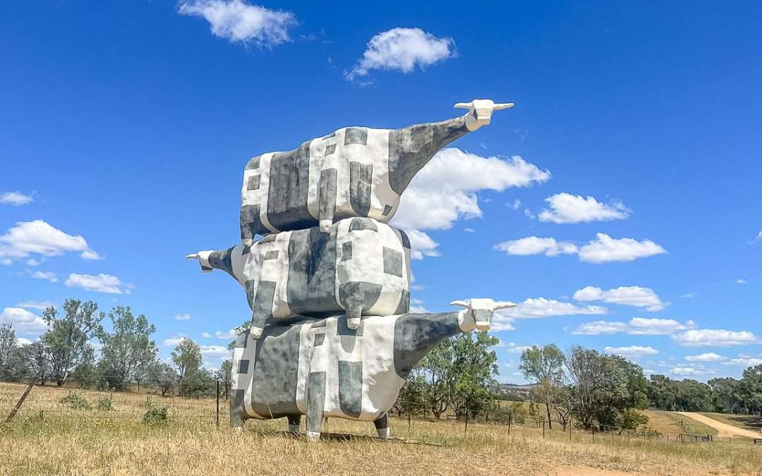
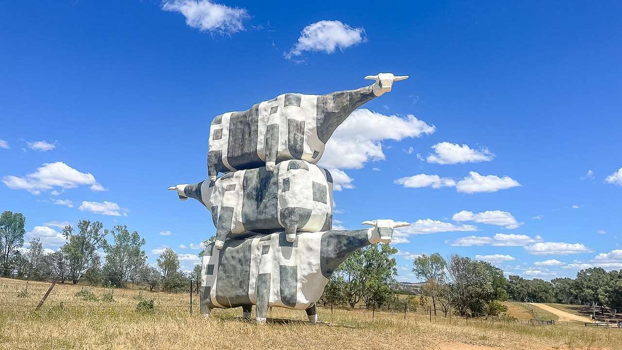
Cow Sculpture Out The Back of Cullinga

Cow Sculpture Out The Back of Cullinga

What Did We Find While Geocaching In The Snowy Valleys?

We found 9 of them with no DNFs! It was a really awesome day of geocaching in a particularly beautiful part of the country.

  1. Found Binalong Cemetery | GC9XQ6D
    What a beautifully kept Cemetary. TFTC
  2. Found REALLY SideTracked – Binalong | GC8JB3H
    Awesome hide TFTC
  3. Found Callin’ Five – Oh! | GCA1WCV
    Great hide took some searching but was staring us straight in the eye all the time. TFTC
  4. Found LKA Johnny Gilbert | GC5W6PC
    Always like calling in and giving our respects. Great hiding place TFTC. Gave it a favourite point.
  5. Found Guardrailicious | GCA7ETK
    TFTC
  6. Found Welcome to Harden-Murrumburrah | GC5MNVP
    Another great hide. Have never noticed that sign before. TFTC
  7. Found Udders | GC6QZD7
    Great hide and awesome sculpture. TFTC
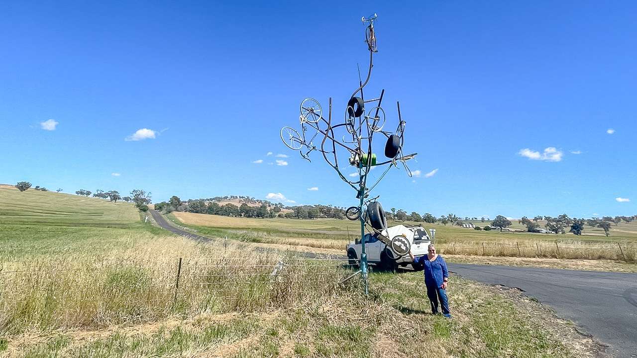
  8. Found A Tree or not a Tree | GCARCX0
    Another great hide make sure to say howdy to the sheep. TfTC
  9. Found Tower View | GC8845C
    Great spot and awesome views TFTC
  10. Found Wallendbeen Presbyterian Church | GCB3Z62
    Great hide TFTC

A Tree Or Not A Tree Corner Of Kilrush And Old Gundagai Road

A Tree Or Not A Tree Corner Of Kilrush And Old Gundagai Road

Cullinga Mines Road Was Interesting

As part of our geocaching today we travelled along Cullinga Mines Road. Amanda and I asked ourselves why was it called Cullinga Mines Road? There was nothing obvious in the way of mines – however we know that historically there were mines in the area.

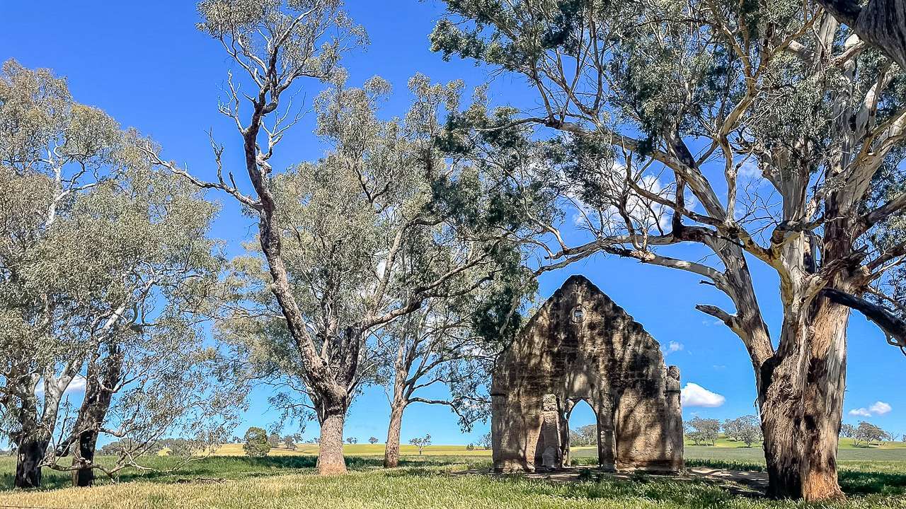
There is what is left of a church and what we thought was another church near the corner of Cullinga Road and Cullinga Mines Road. After getting home and doing a bit of research it turns out that the dilapidated of the two churches was in fact the former St John’s Anglican Church and the other “church” is possibly an abandoned hall or school. Nothing in the area gives the impression that anything substantial in the way of a village had been there however it turns out that Cullinga was a decent sized village around the beginning of the 20th century.

I found an article on Trove published in The Albury Banner and Wodonga Express on Fri 14 Dec 1900 about one of the mines and it was a fairly substantial concern.

Former St Johns Anglican Church At Cullinga NSW

Former St Johns Anglican Church At Cullinga NSW

Summary Of The Trove Article About The Most Profitable Mine In The Cullinga Field – The Christmas Gift

The Cullinga mines are located 12 miles east of Cootamundra, in an area that was once considered as a possible location for the federal capital. The region features gently rolling hills, rich farmland, and sits at a good elevation with a healthy climate. These mines have been drawing considerable interest from the mining industry.

The mining operations span across land owned by Mr Boxsell, Mr R. Faulks, Mr A. G. Keith, and Mr W. Reynolds. The workings extend for approximately four miles and are part of a gold-bearing zone that connects to the old Muttama reefs in the south and the Demondrille area to the north. Reverend Father Curran visited the area the previous week.

The most profitable mine in the Cullinga field is the Christmas Gift. This site contains an enormous gold bearing rock formation measuring 42 feet across. Mining has reached a depth of nearly 200 feet, with around 200 feet of horizontal tunnels. The mining team of Mr J. Boxsell, Mr W. Playford (who originally discovered the site), and Mr J. Ingold have processed 3,000 tons of ore. The ore has yielded more than one ounce of gold per ton, and the leftover material still contains 14 pennyweights of gold per ton. This waste material is being processed using concentrating equipment at the site. An attempt to use cyanide treatment was unsuccessful due to some component in the ore that interfered with the process.

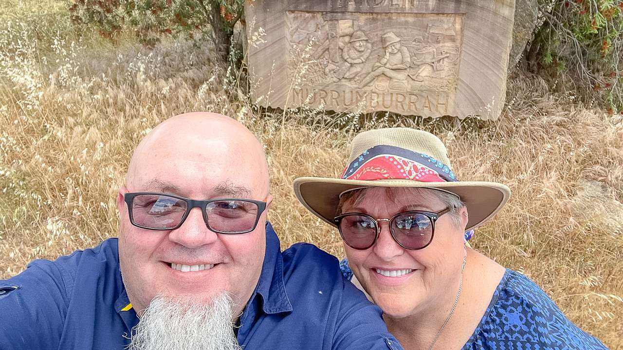
Welcome To Murrumburrah Sign

Welcome To Murrumburrah Sign

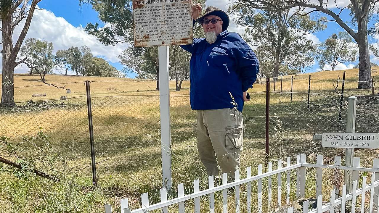
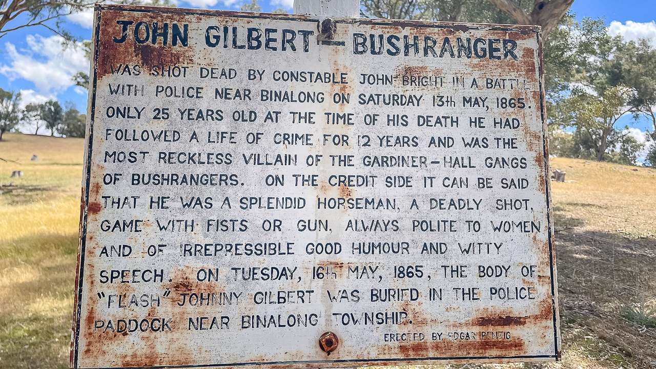
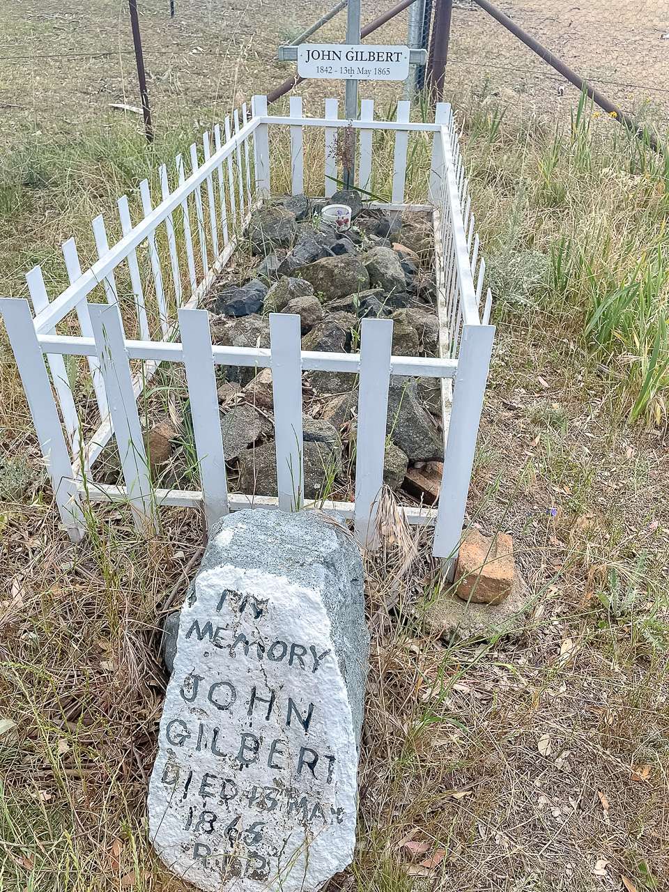
John Gilberts Grave

We’ve checked in at John Gilberts Grave just outside of Binalong quite a few times in the past. We called in today and had another look. Not much has changed. John Gilbert was a notorious bushranger who used to hang around with Ben Hall back in the day.

Dave At John Gilberts Grave Outside Of Binalong NSW

Dave At John Gilberts Grave Outside Of Binalong NSW

Final Thoughts

While geocaching along Cullinga Mines Road we wondered why it had such an unusual name since there were no obvious signs of mining activity from the road. After finding several caches in the area and returning home we discovered through research that a thriving gold mining operation called the Christmas Gift (and a lot of other mines) once existed there in 1900. Producing over an ounce of gold per ton from a massive 42 foot wide vein.

Geocaching Near Cullinga, Harden, Murrumburrah & Binalong Photo Gallery


Visiting Tooma Inn For Lunch & Geocaching In The Snowy Valleys

Visiting Tooma Inn For Lunch & Geocaching In The Snowy Valleys

Visiting Tooma Inn For Lunch & Geocaching In The Snowy Valleys

We visit the historic Tooma Inn, enjoy a hearty pub lunch and explore more geocaching adventures. Our guide to Tooma Inn includes delicious meals, the Southern Cloud Memorial and stunning scenery.

“Why should you visit the Tooma Inn? Because it’s more than just a pub – it’s a slice of Australian history offering hearty meals, warm country hospitality and a perfect base to explore the stunning Snowy Valleys and nearby hidden gems like the Southern Cloud Memorial Lookout.”

Visiting Tooma Inn: A Classic Country Pub Lunch And Exploring The Snowy Valleys

If you’re looking for a true country pub experience in the Snowy Valleys, the Tooma Inn is a must visit. Our recent lunch stop at this historic pub turned into a day packed with great food, geocaching adventures, and a brush with aviation history at the Southern Cloud Memorial Lookout.

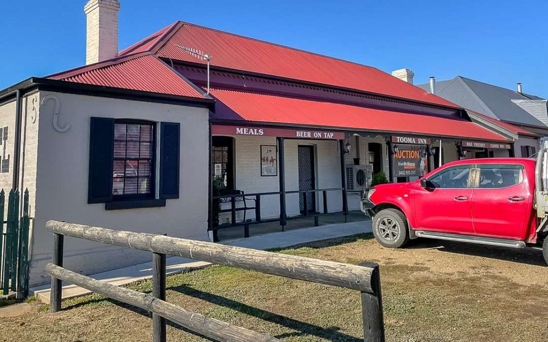
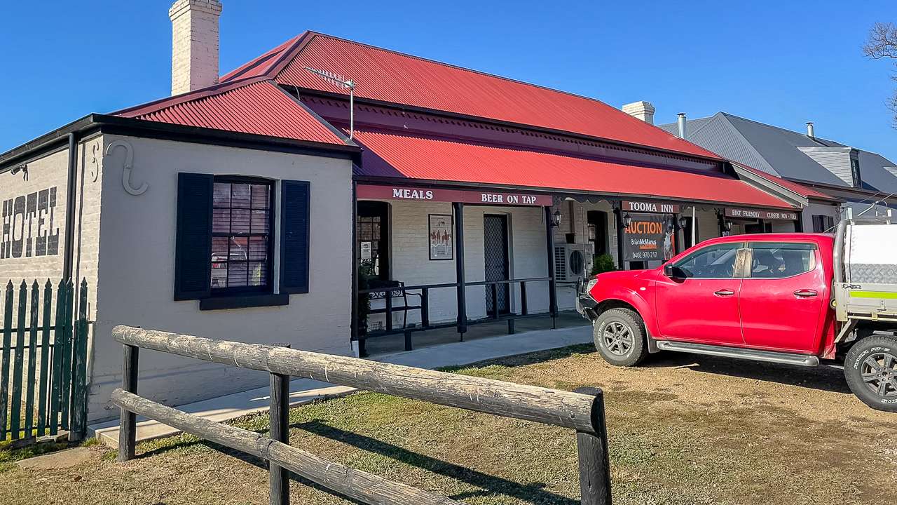
Tooma Inn

Tooma Inn

Discovering Tooma Inn

You probably don’t know this but I work from home a couple a days a week and Amanda works from home full time. A couple of days ago I was booking a truck to deliver some stock to Tooma and Amanda heard me making the booking. She asked me the obvious question: “Where the f*** is Tooma?”. I told her it was down in the high country near the VIC border so Amanda’s next question was wanting to know if they had a pub. We looked it up and hey – they do so what we were doing the following Sunday was immediately decided!

Situated in the tiny village of Tooma, the Tooma Inn stands as a testament to the region’s rich history. Built in 1879 from locally fired bricks, the inn has survived floods, droughts, fires, and even bushrangers. With less than two dozen locals, Tooma is one of the most peaceful places you’ll find in New South Wales. Friendly staff and locals make every visitor feel welcome, treating newcomers as friends they haven’t met yet. The pub is open Wednesday to Sunday serving hearty meals and cold drinks – perfect after a day on the road or the trails. Free camping is available right behind for those travelling with a caravan or tent, making it an ideal stop for campers and caravanners alike.

Getting To The Tooma Inn

Tooma Inn is located at 9 Possum Point Road, Tooma, in the heart of the Snowy Valleys. Here’s how to get there from several well-known locations:

Starting Point Distance to Tooma Inn Approximate Drive Time Route Highlights
Tumbarumba 30 km south 25 minutes Scenic drive via Tooma Road, passing lush farmland
Albury-Wodonga 140 km northeast 1 hour 45 minutes Via Murray Valley Hwy and Jingellic Rd
Canberra 220 km southwest 2 hours 45 minutes Via Hume Hwy, Tumut, and Tumbarumba
Wagga Wagga 150 km southeast 2 hours Via Holbrook, Jingellic, and Tooma Rd
Corryong (VIC) 40 km north 35 minutes Via Murray Valley Hwy and Tooma Rd

The drive from Tumbarumba to Tooma is especially beautiful with the valley opening up to reveal rolling green pastures and distant mountain ranges.

Tooma Inn Opening Hours & Details

Address: 9 Possum Point Road, Tooma NSW
Phone: 0417 728 315
Website: https://www.facebook.com/p/The-Tooma-Inn-100063789120866/
Open: Wednesday To Sunday

Lunch At The Tooma Inn

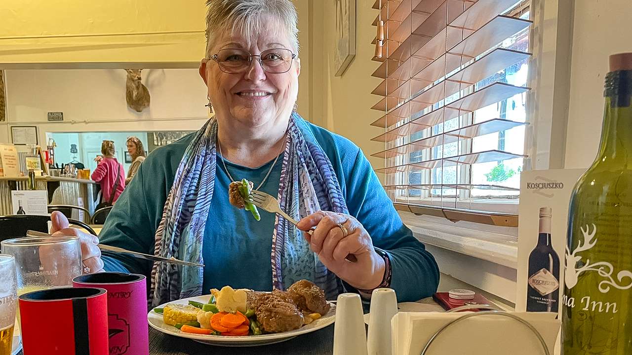
We arrived at the Tooma Inn ready for a classic country lunch. Dave ordered the Guinness stew, which was rich, hearty and full of flavour – perfect for a cool day in the mountains. Amanda chose the meatballs with pepper steak gravy and they were equally fantastic: tender, savoury and served with generous sides. The menu caters to hungry travellers and the portions won’t leave you wanting. The friendly service and welcoming atmosphere made us feel right at home.

Lunch At The Tooma inn

Lunch At The Tooma inn

Geocaching Adventures: Tumbarumba And Paddy’s River Falls

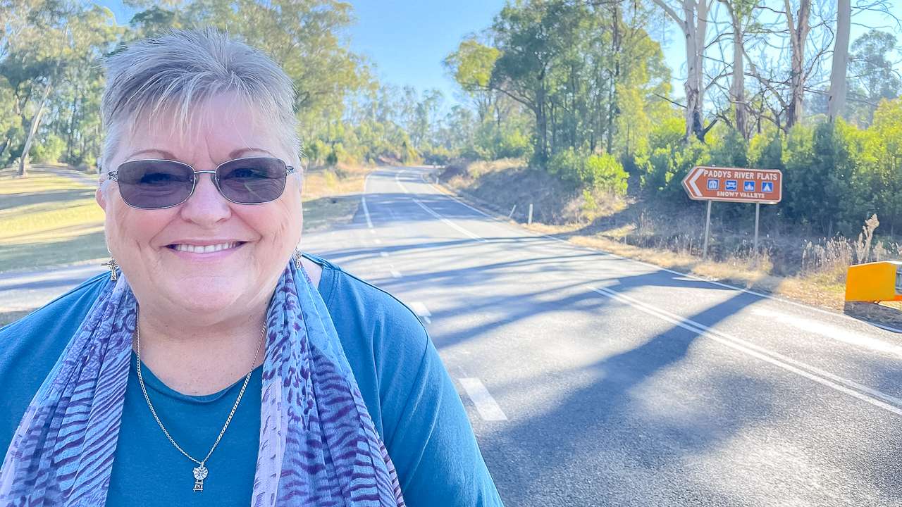
Travelling to Tooma we made a few stops for geocaching – a popular outdoor treasure hunt using GPS coordinates. At Paddy’s River Falls, just 15 kilometres south of Tumbarumba, we found several geocaches while taking in the impressive waterfall and scenic lookouts. The falls are easily accessed via a well maintained road and offer a refreshing swimming stop, especially in warmer months.

In Tumbarumba, geocaching led us to a number of interesting sites, including historic Wolter’s Cottages. These heritage listed buildings from the 1870s mark the start of the Tumbarumba to Rosewood Rail Trail and feature a small historical display. The area is rich in local history and the cottages are a great spot to stretch your legs and learn more about the region.

View Of Wolter's Cottages

View Of Wolter’s Cottages

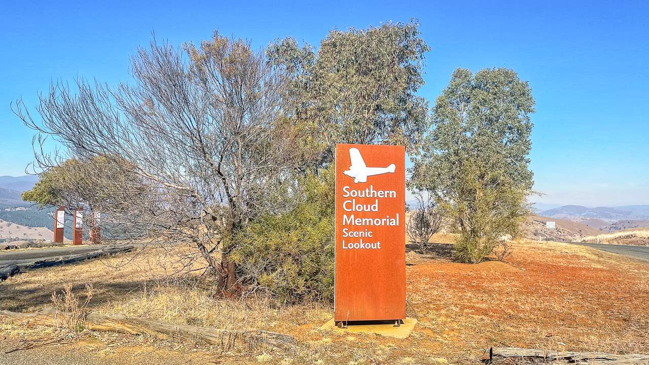
Southern Cloud Memorial Lookout

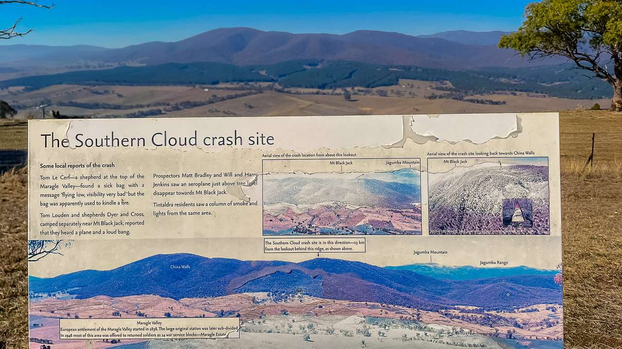
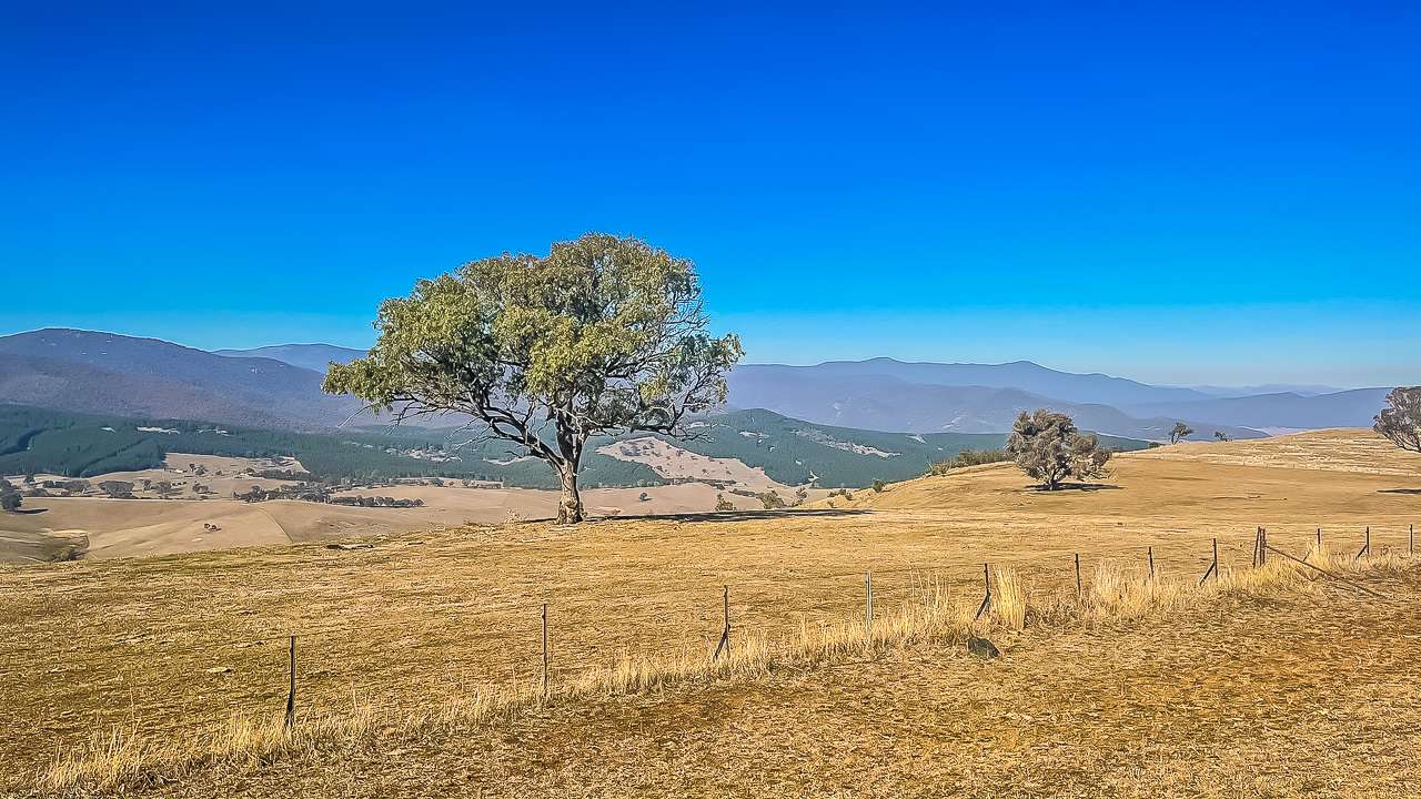
One of the most memorable geocaches we found was at the Southern Cloud Memorial Lookout, just five kilometres from Tooma on Tooma Road. This lookout offers sweeping views of the Maragle and Tooma Valleys, with the Snowy Mountains as a dramatic backdrop. The site features an undercover picnic area and interpretive storyboards that tell the story of the Southern Cloud disaster. I’ve always known the story of the Southern Cloud tragedy but had never been to the memorial before. It would be even better if some day I was able to walk out to the site. Will have to do some research to find out if it’s possible.

The Southern Cloud Crash Site

The Southern Cloud Crash Site

The Southern Cloud Crash

On 21 March 1931, the Avro 618 Ten aircraft known as the Southern Cloud disappeared during a flight from Sydney to Melbourne. Severe weather forced the plane off course, and it crashed in the Snowy Mountains, killing all eight people on board. Despite an extensive search, the wreckage was not found until 1958, when a worker on the Snowy Mountains Scheme stumbled upon it. The tragedy was Australia’s first major airline disaster and led to significant changes in aviation safety, including the introduction of two-way radios on passenger planes and the establishment of ground radio stations (Wikipedia, Monument Australia).

The Southern Cloud Memorial Lookout commemorates the lives lost and the impact the crash had on Australian aviation. It’s a moving place to reflect on history while enjoying some of the best views in the region.

View From Southern Cloud Memorial Lookout

View From Southern Cloud Memorial Lookout

What Did We Find While Geocaching In The Snowy Valleys?

We found 9 of them with no DNFs! It was a really awesome day of geocaching in a particularly beautiful part of the country.

  1. Found Paddys River Flats | GCA8A07
    What a beautiful spot TFTC
  2. Found Established when? | GC4ZNW2
    Great find and awesome meal at the Pub. TFTC
  3. Found Southern Comfort, Southern Cloud or Southern Storm | GC40TVM
    Another great piece of history thanks TFTC. Log was very wet so replaced the paper
  4. Found More Lorenz (Warning this cache is in a cemetery) | GC4528B
    Love these hides in the Cemeteries. TFTC. PS. Cache container lid was missing and paper very damp. Replaced container paper and clip seal bag.
  5. Found Punter lost! | GC41K97
    Nice easy find. I’m sure the sheep thought we were there to feed them as they came running from all directions. TFTC
  6. Found A most unusual Lorenz | GC41K9M
    What a fantastic piece of history thank you for bringing us to a place we would not have known was there.
  7. Found Mica’s Leap | GC9QVYJ
    Great piece of history thanks for bring us here TFTC
  8. Found In Memory of Herb | GC2VENJ
    Great little park and hide TFTC
  9. Found Cnr Gadara Rd | GC45RPK
    On our way to Tooma for the day and found this quick find TFTC

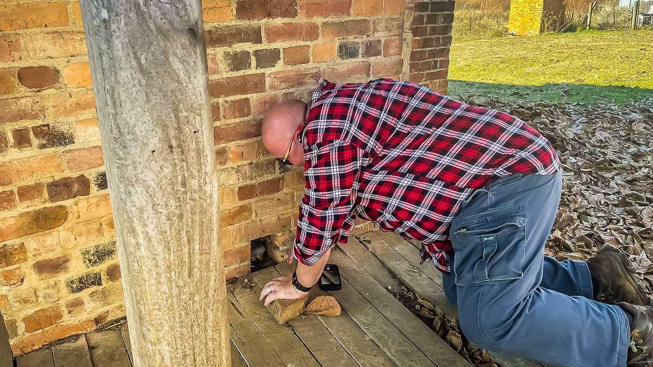
Found A Geocache At Wolter's Cottages In Tumbarumba

Found A Geocache At Wolter’s Cottages In Tumbarumba

Why Tooma Inn Is A Must Visit For Caravanners And Campers

  • Historic charm: The Tooma Inn is a living piece of local history, offering a true country pub experience.
  • Great food: Generous, hearty meals perfect for hungry travellers.
  • Free camping: Park your caravan or pitch a tent behind the Inn for a peaceful night in the valley.
  • Adventure nearby: Geocaching, waterfalls and historic sites are all within easy reach.
  • Stunning scenery: The Snowy Valleys region is renowned for its dramatic landscapes and friendly communities.

Final Thoughts

Our visit to the Tooma Inn was more than just a lunch stop – it was a journey through history, nature, and country hospitality. Whether you’re chasing geocaches at Paddy’s River Falls, exploring Tumbarumba’s heritage, or paying your respects at the Southern Cloud Memorial Lookout, Tooma is the perfect base for adventure in the Snowy Valleys.

Sources

Pin It on Pinterest