Small Hills Near Angle Pole Campsite – Oodnadatta Track
Small Hills Near Angle Pole Campsite – Oodnadatta Track
Small Hills Near Angle Pole Campsite offers free camping near Oodnadatta. Perfect for self-contained campers wanting peace, views and quiet. Most people driving the Oodnadatta Track either push through to Marla or stop in town at the Pink Roadhouse. But there’s another option that many campers miss – a small free camping area tucked behind some weathered hills just north of Oodnadatta.
Table Of Contents
- Small Hills Near Angle Pole Campsite Location Map
- Small Hills Near Angle Pole Campsite Location And Info At A Glance
- Finding Small Hills Near Angle Pole Campsite
- The Camping Area
- What To Bring
- The Downsides
- Why Choose Small Hills Near Angle Pole Campsite Over Town?
- Railway History
- Who Should Stay At The Small Hills Near Angle Pole Campsite
- Keep It Clean
- Bottom Line
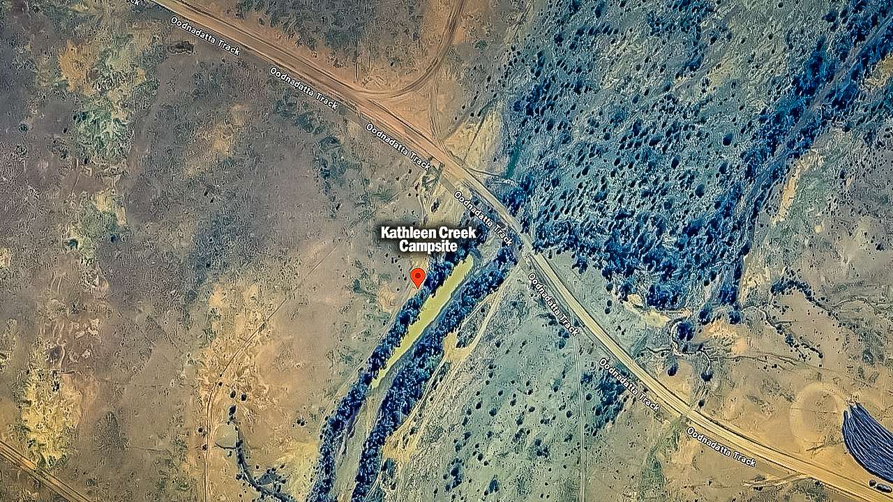
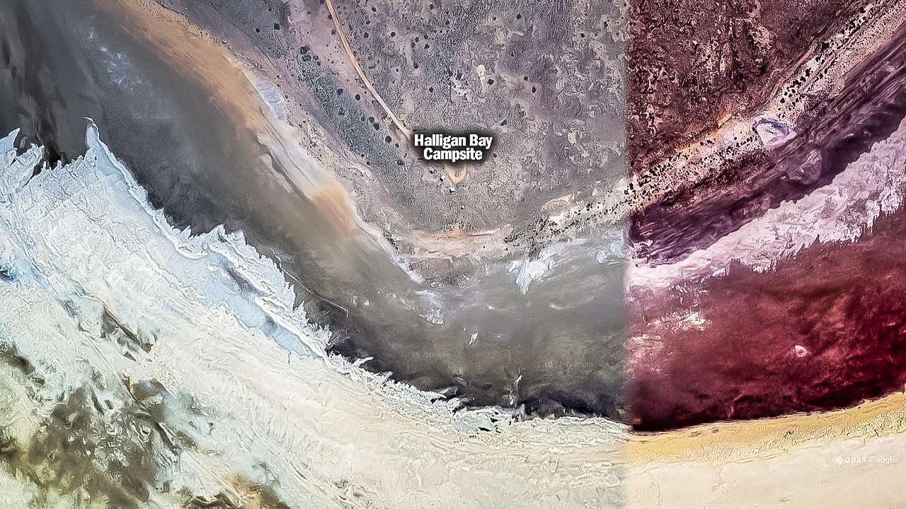
Small Hills Near Angle Pole Campsite Location Map
Small Hills Near Angle Pole Campsite Location And Info At A Glance
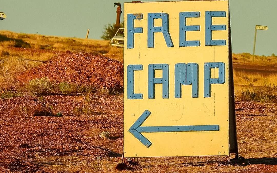
Cost: Free
Type: Free Camping / Bush Camping
Location: Small hills near angle pole, South Australia
GPS: -27.490360°, 135.418222°
Pet Friendly: Yes
Distance From Marree: 413km
Distance From Oodnadatta: 7km
Distance From Marla: 247km
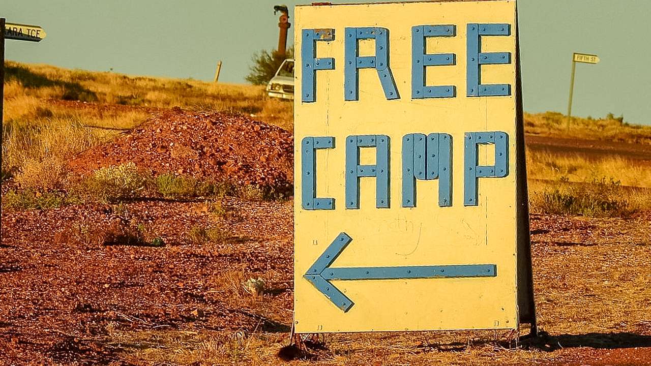
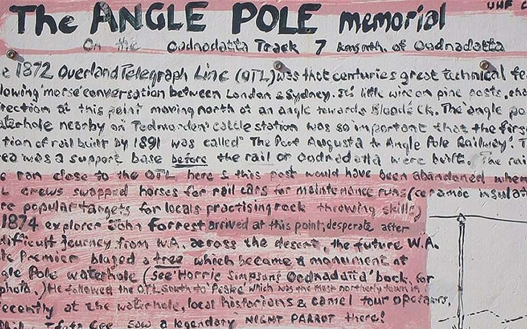
Angle Pole Memorial Sign Courtesy Of The Pink Roadhouse
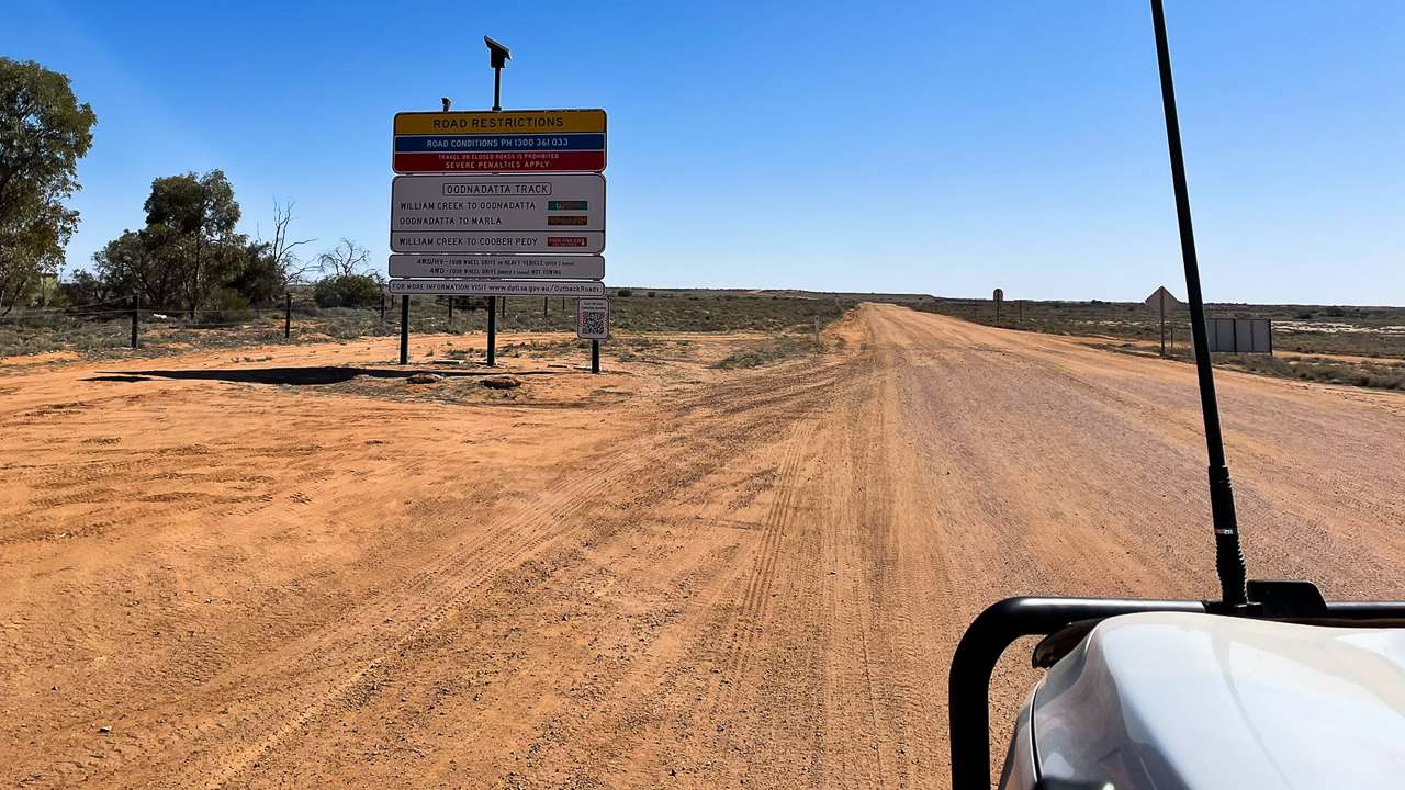
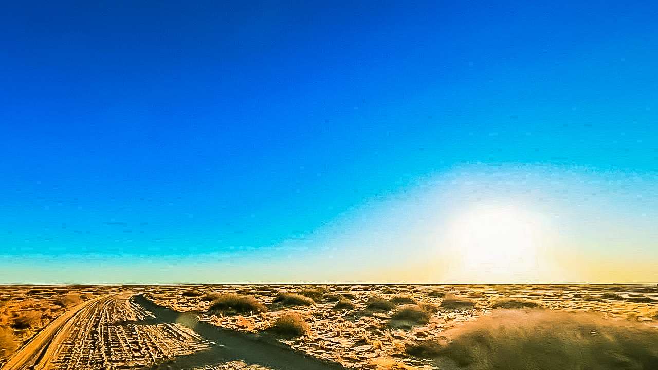
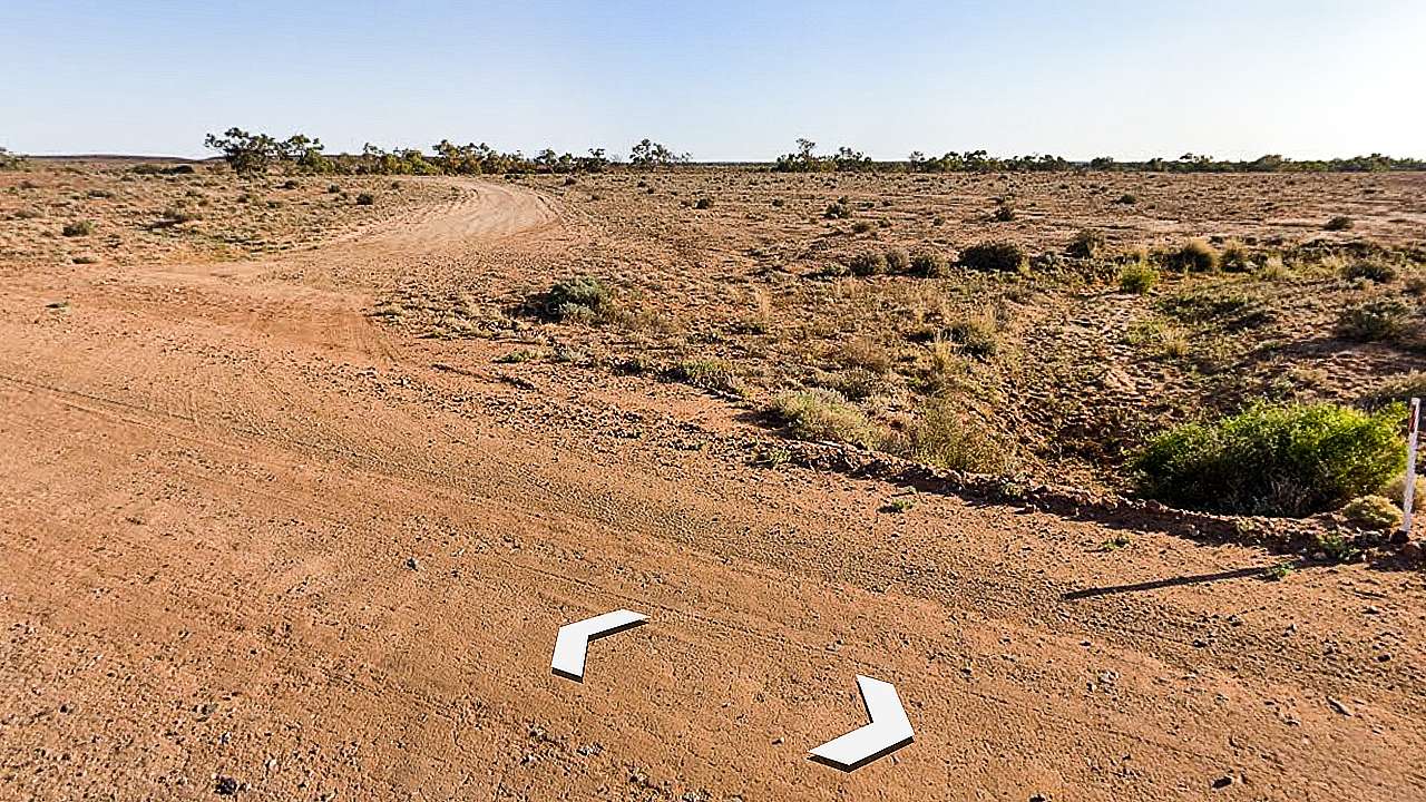
Finding Small Hills Near Angle Pole Campsite
You’ll see vehicle tracks heading towards some low rocky hills. Sometimes someone will have left a branch marking the turn-off, sometimes not. The drive in takes a few minutes following wheel ruts for around 700 metres.
Watch out for one steep dip that can catch low vehicles off guard. Most standard caravans handle it fine, but check your clearance first. Don’t attempt entry after heavy rain – the clay soil turns into the caravan equivalent of a venus flytrap and you could be there for days.
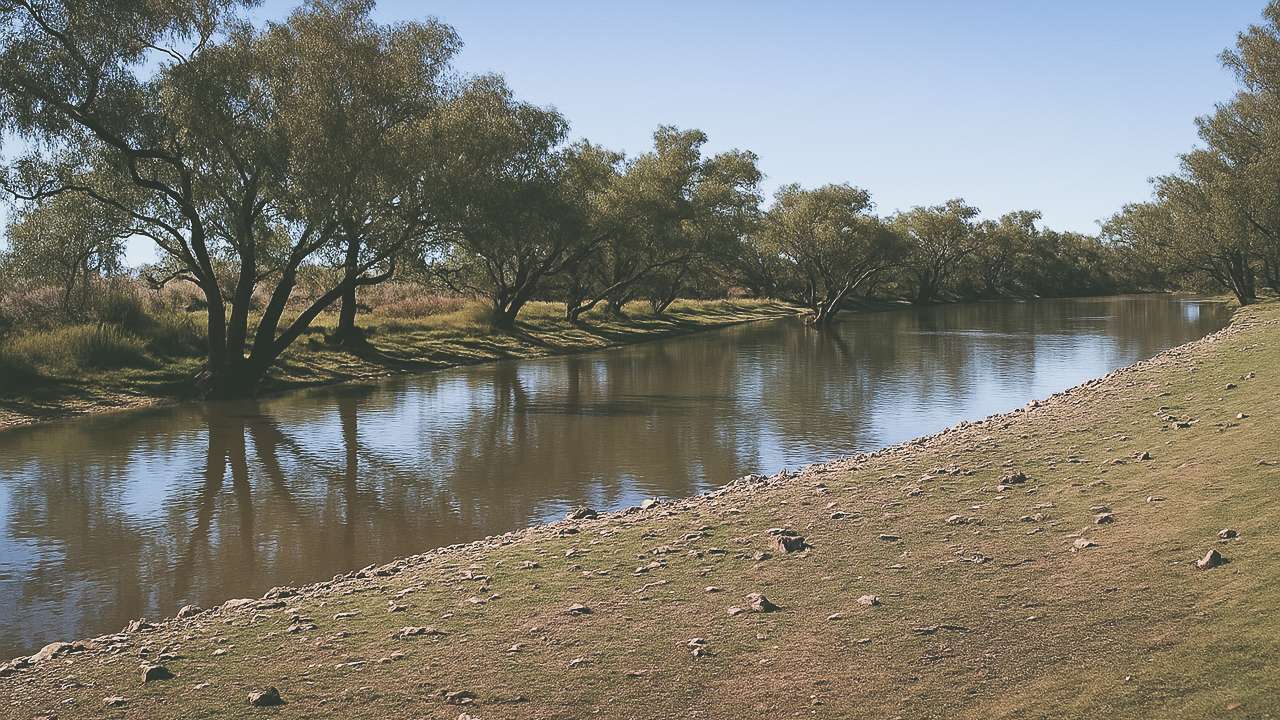
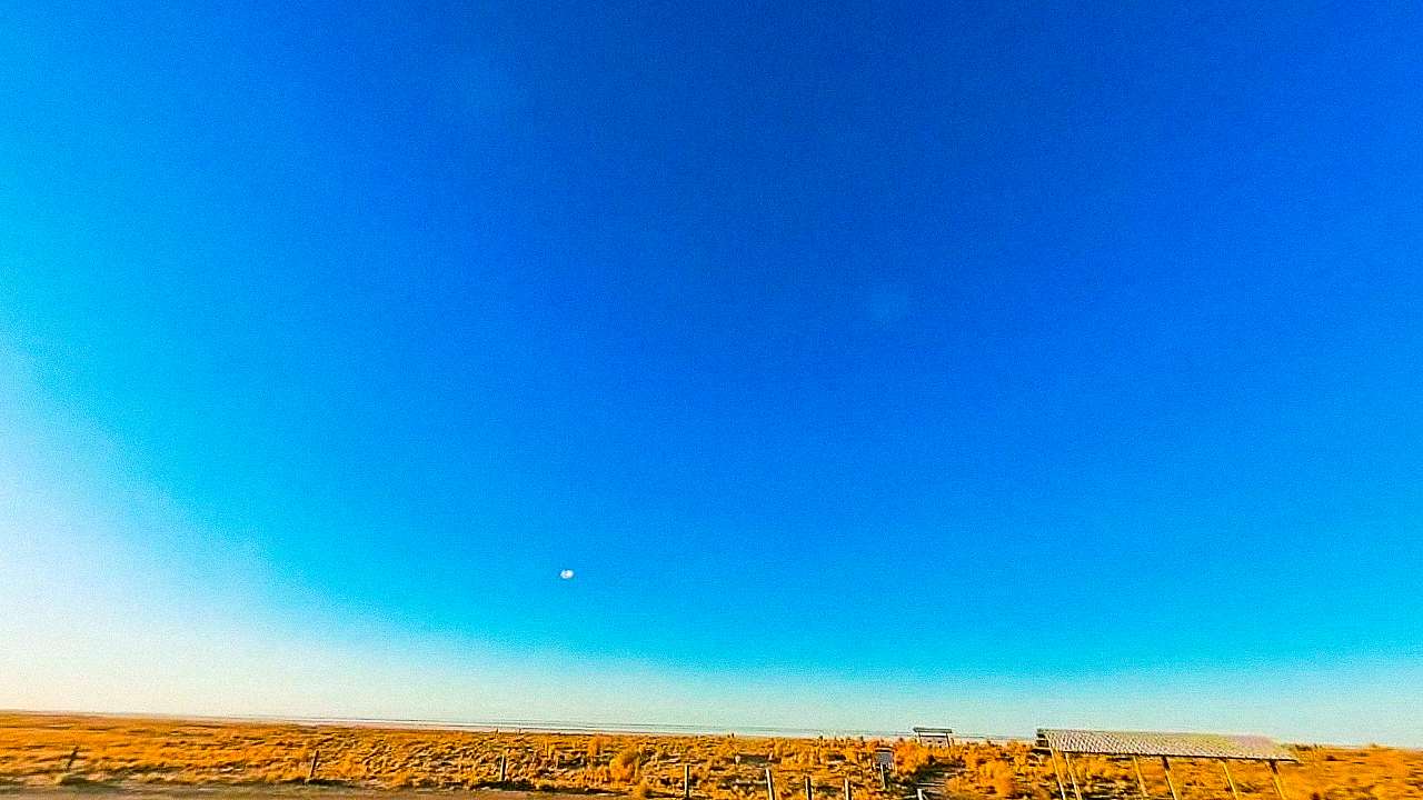
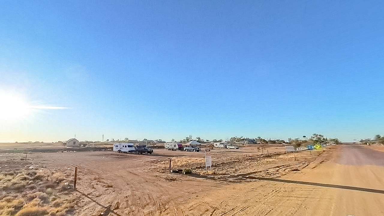
The Camping Area
You’ll find yourself in a sheltered spot between small hills and a dry creek. The ground is mostly gravel and gibber stones, which makes for good drainage. There’s room for three or four rigs without crowding, plus space to turn around even with a big setup.
Old fire pits dot the area from previous campers. The real draw is scrambling up one of the nearby hills for the view. Takes maybe five minutes to reach the top and you can see for kilometers in every direction. Oodnadatta looks tiny from up there.
What To Bring
Everything. Water, food, fuel, toilet paper – the works. No bins either, so pack out your rubbish. The nearest supplies are back in Oodnadatta and the Pink Roadhouse closes early.
Phone signal is patchy at best. Climb a hill and you might get one bar of Telstra coverage if you’re lucky. Forget about streaming anything or video calls.
The Downsides
- Flies swarm during the day in warmer weather. Bring fly nets or you’ll go mad. When evening comes the flies disappear.
- Wind can be strong funneling between the hills. Make sure your awning is properly pegged down.
Why Choose Small Hills Near Angle Pole Campsite Over Town?
- Simple – peace and quiet. Oodnadatta camping can get very busy at times. The only sounds here is the wind and maybe a distant dingo.
- Plus it costs nothing. Hard to argue with free when you’re on a tight travel budget.
Railway History
Bits of the old Ghan line are scattered around if you look. Sections of rail and wooden sleepers slowly weathering away. Don’t move anything – it’s part of the area’s character.
The railway used to run right through here before they moved it east. These remnants are all that’s left of that era.
Who Should Stay At The Small Hills Near Angle Pole Campsite
Experienced campers who don’t need facilities will love it. First-timers or those wanting hot showers and flushing toilets should stay in town.
If constant flies annoy you, or if dust bothers you, or if you need reliable phone coverage – this isn’t your spot. But if you want genuine outback solitude with great views it’s hard to beat.
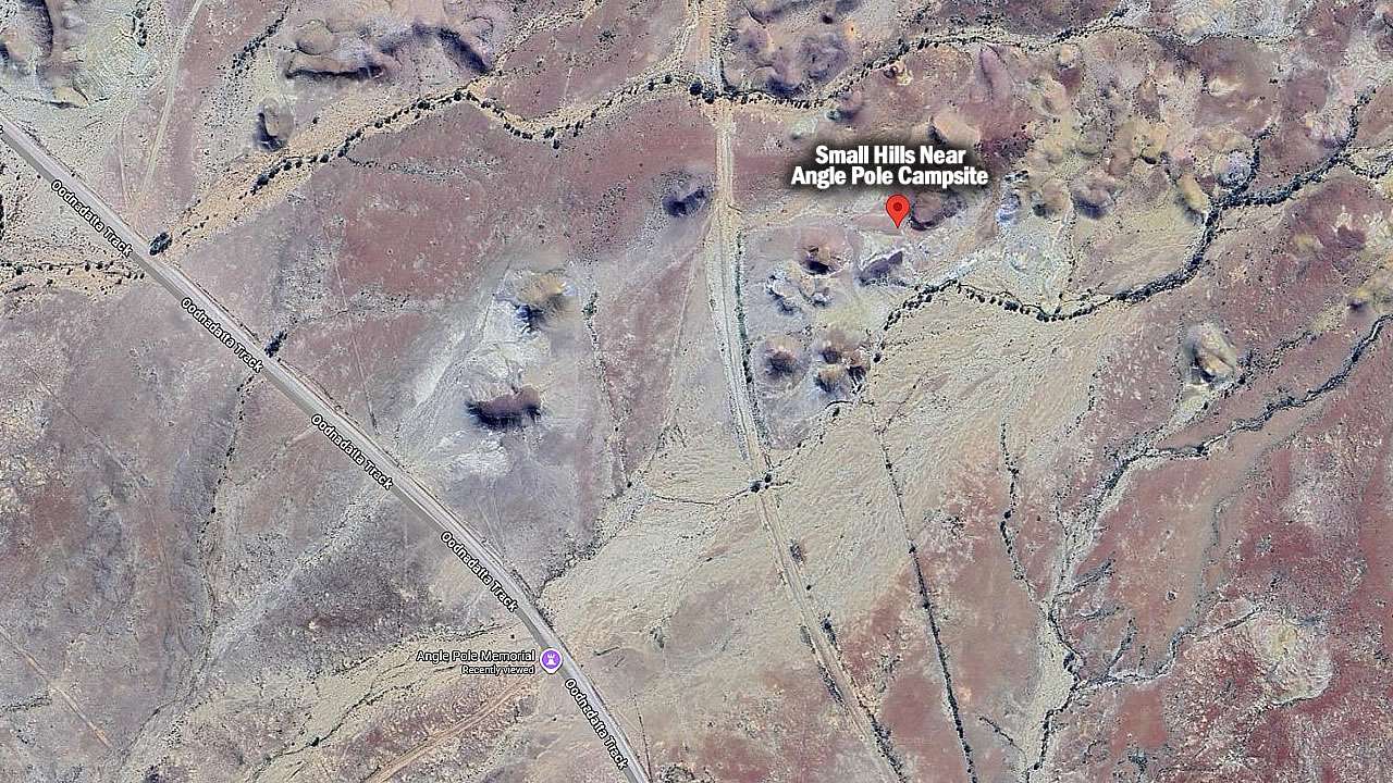
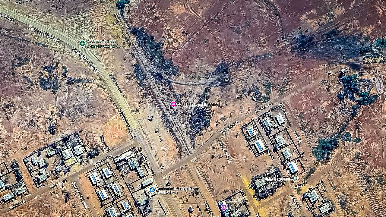
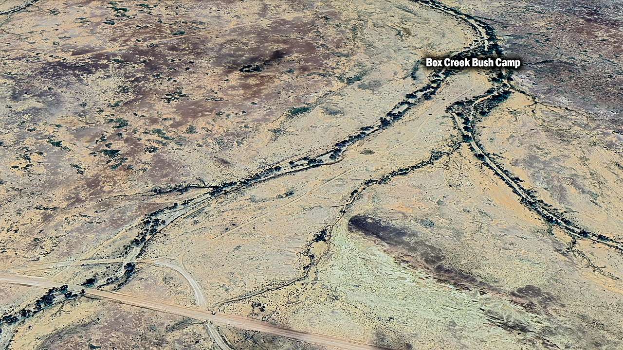
Small Hills Near Angle Pole Campsite On Google Earth
Keep It Clean
This place works because people respect it. Take your rubbish with you.
Bottom Line
It’s basic bush camping at its finest. No frills, no facilities, just you and the outback. The hills provide shelter from wind, the views are spectacular.
Most commercial campgrounds along the Track charge upwards of $25 per night. This costs nothing and offers something money can’t buy – complete silence and a genuine connection to one of Australia’s most remote regions.