Quilters Ruins Campsite – Oodnadatta Track
Quilters Ruins Campsite – Oodnadatta Track
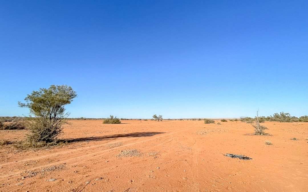
Quilters Ruins is about 42 kilometres northwest of William Creek and makes for a great overnight campsite if you want to get away from the main track. The old railway ruins give the place a bit of character and it’s usually pretty quiet.
Table Of Contents
Quilters Ruins Campsite Location And Info At A Glance
Cost: Free
Type: Free Camping / Bush Camping
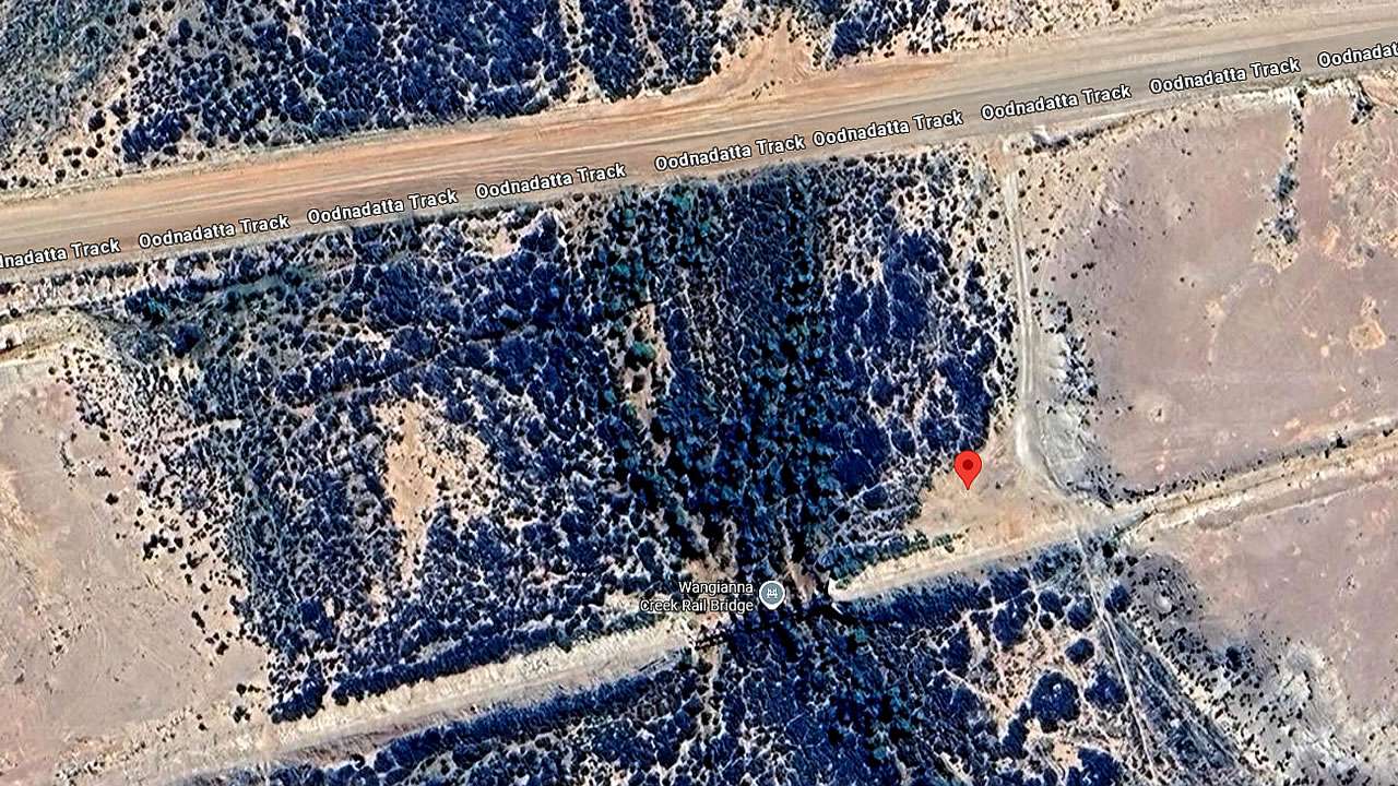
Location: -28.632512°, 135.891761°
Pet Friendly: Yes
Distance From Marree: 260km
Distance From Oodnadatta: 145km
Distance From Marla: 399km
Quilters Ruins Campsite Oodnadatta Track
Getting There
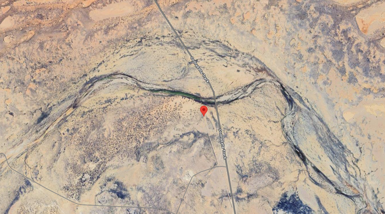
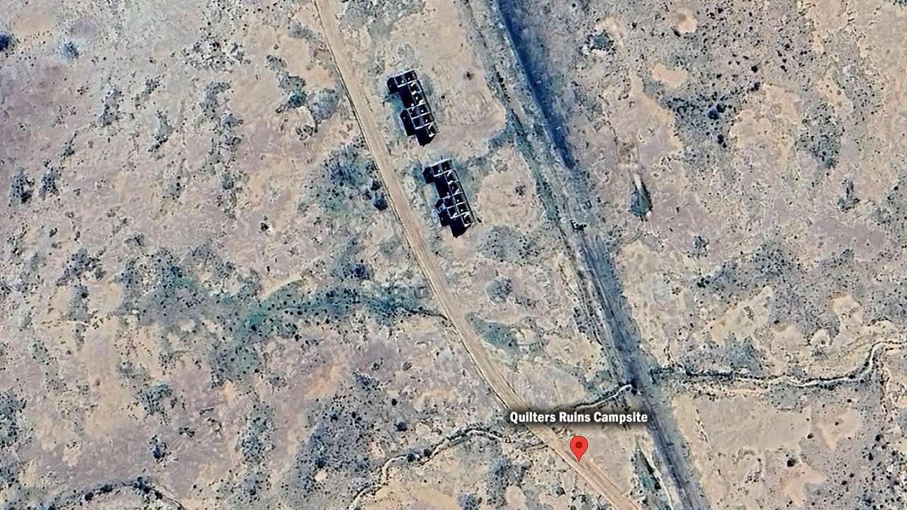
Heading north from William Creek on the Oodnadatta Track at about the 42km mark look for the old cattle yards on your left – that’s your turnoff. You can’t really miss them, they’re the only thing around there. Follow the track behind the yards heading southwest until you hit a T-junction then turn right. Ruins are straight ahead from there.
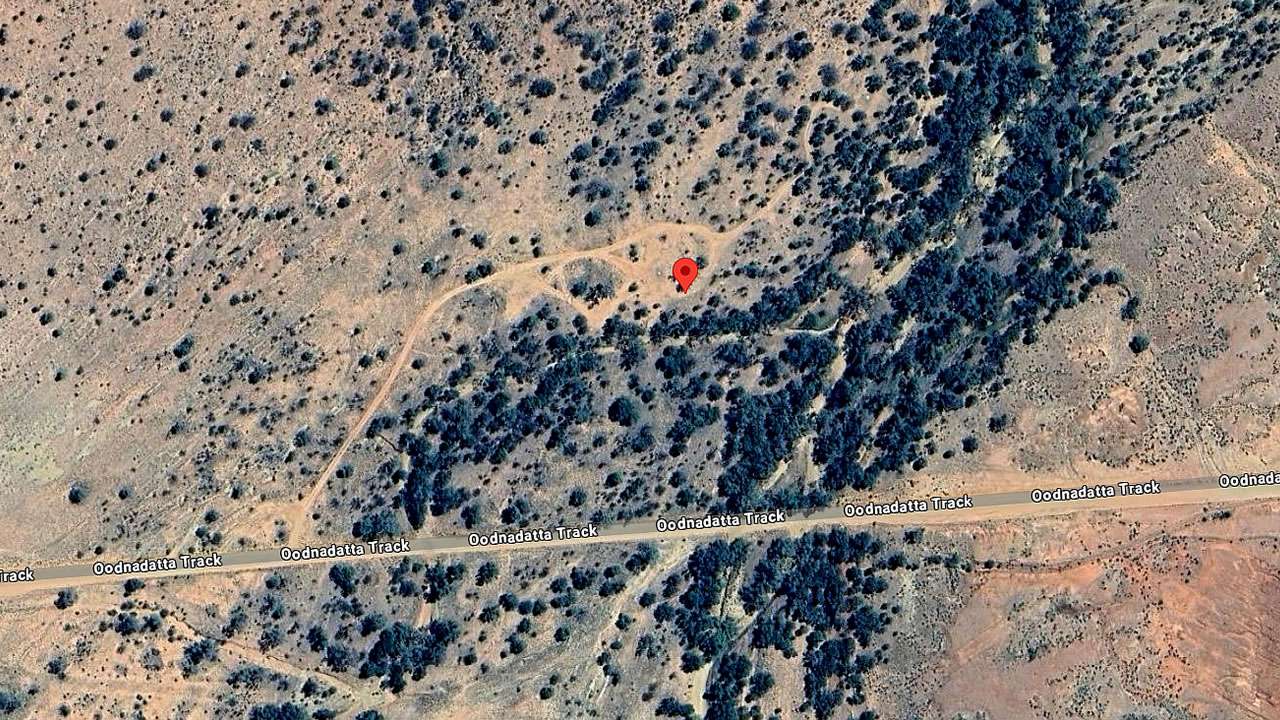
Road in is good – we’ve seen plenty of larger rigs make it in without any drama. Takes about five minutes from the turnoff to reach the campsite. Track’s well formed and rarely gives anyone trouble.
The Ruins At Quilters Ruins
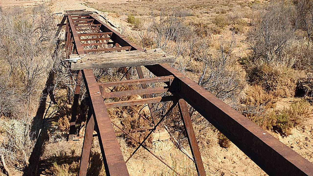
The ruins are what’s left of the old Boorthanna Fettlers Cottage and railway sidings. Built in 1890 then used until 1926 when they closed this section of the line. Fettlers were the blokes who maintained the track – pretty tough job out here in those days. Ruins are in reasonable condition and worth having a look around.
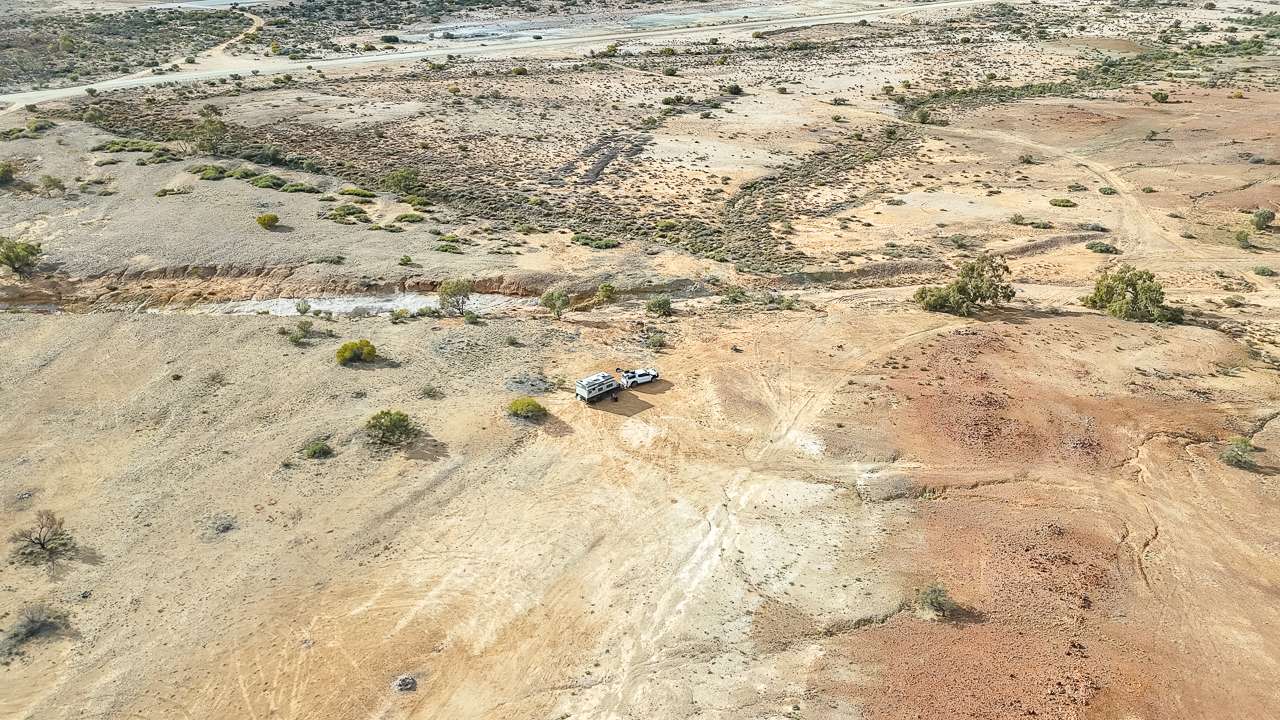
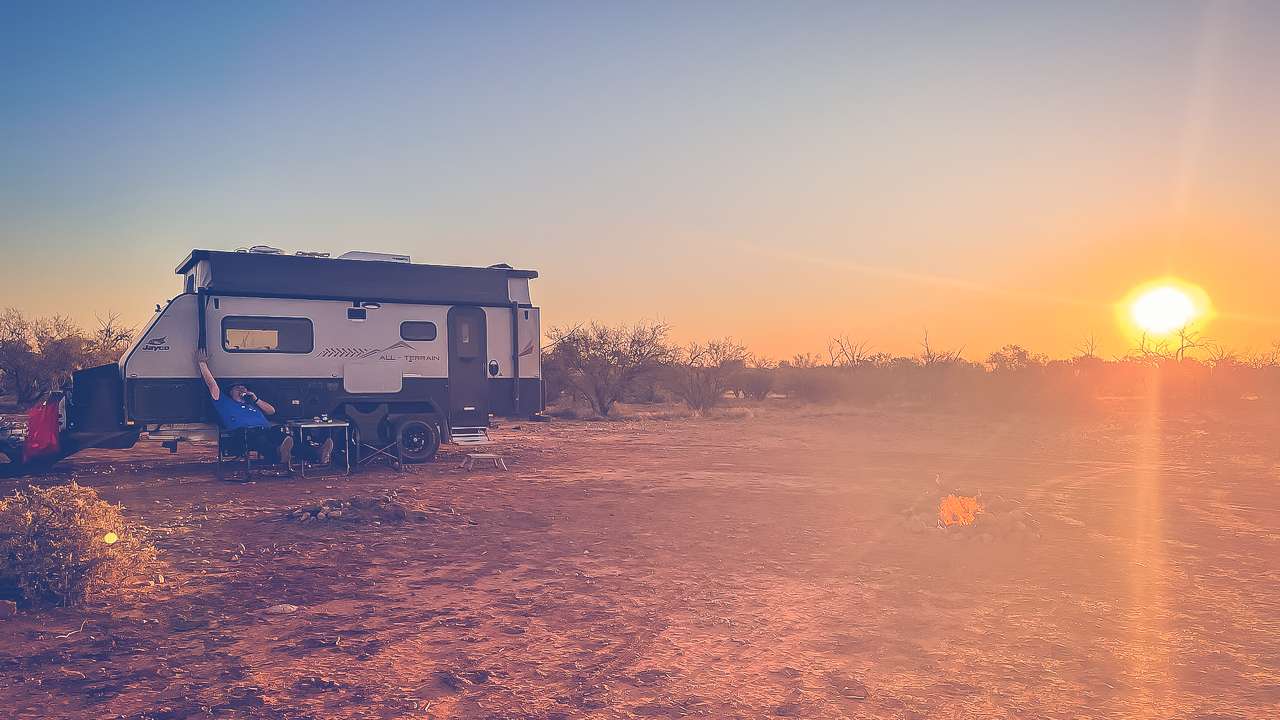
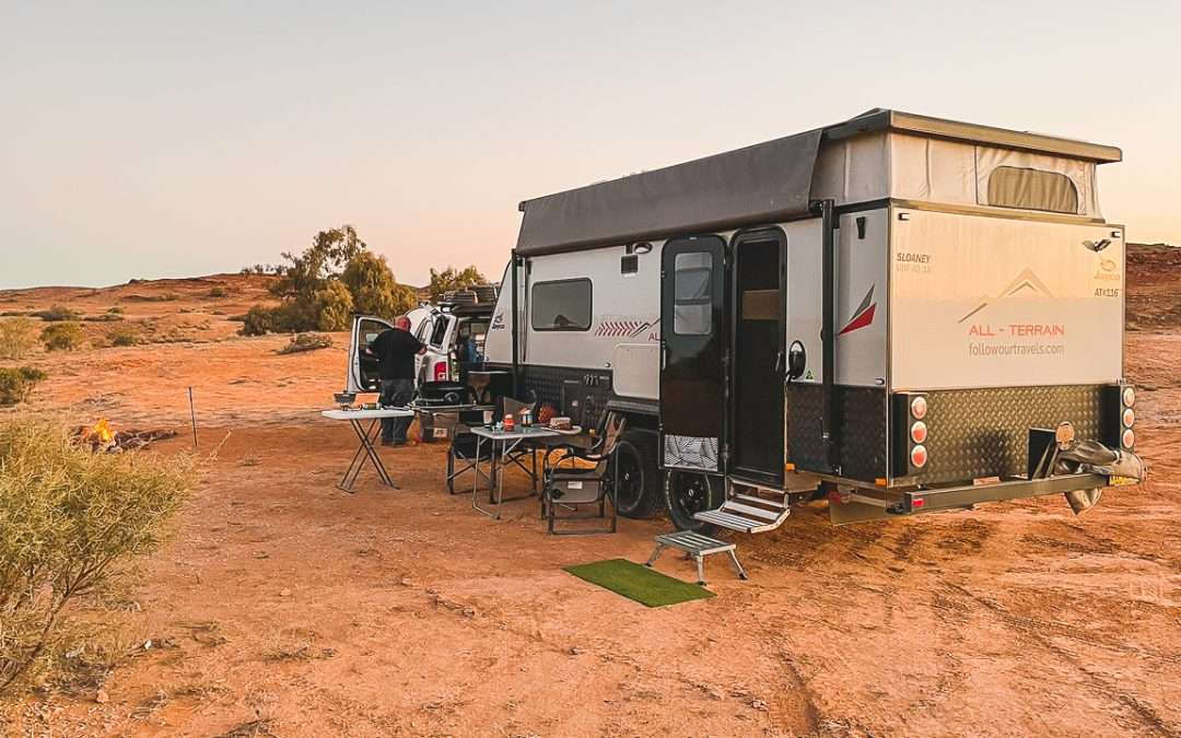
Camping At Quilters Ruins
Quilters Ruins is your typical Oodnadatta Track bush camp setup. No facilities whatsoever – no toilets, no water, no bins. You’ll need to bring everything in and take everything out. Dogs are allowed but keep them under control.
You’ll usually have the place to yourself. Good spot for a campfire if you’ve brought wood – none lying around.
Access And Conditions
The track in is suitable for most caravans and camper trailers. We’ve seen 22-footers get in without any issues. Ground’s generally firm and level areas are easy to find for setting up.
If you overshoot the cattle yards and hit the old railway line cross it and turn right – you’ll loop back to the ruins that way.
What To Bring
Everything. Water, food, firewood if you want a fire and something to take your rubbish away in. It’s a fair way from anywhere so don’t count on being able to duck out for a bottle of milk or a hamburger.
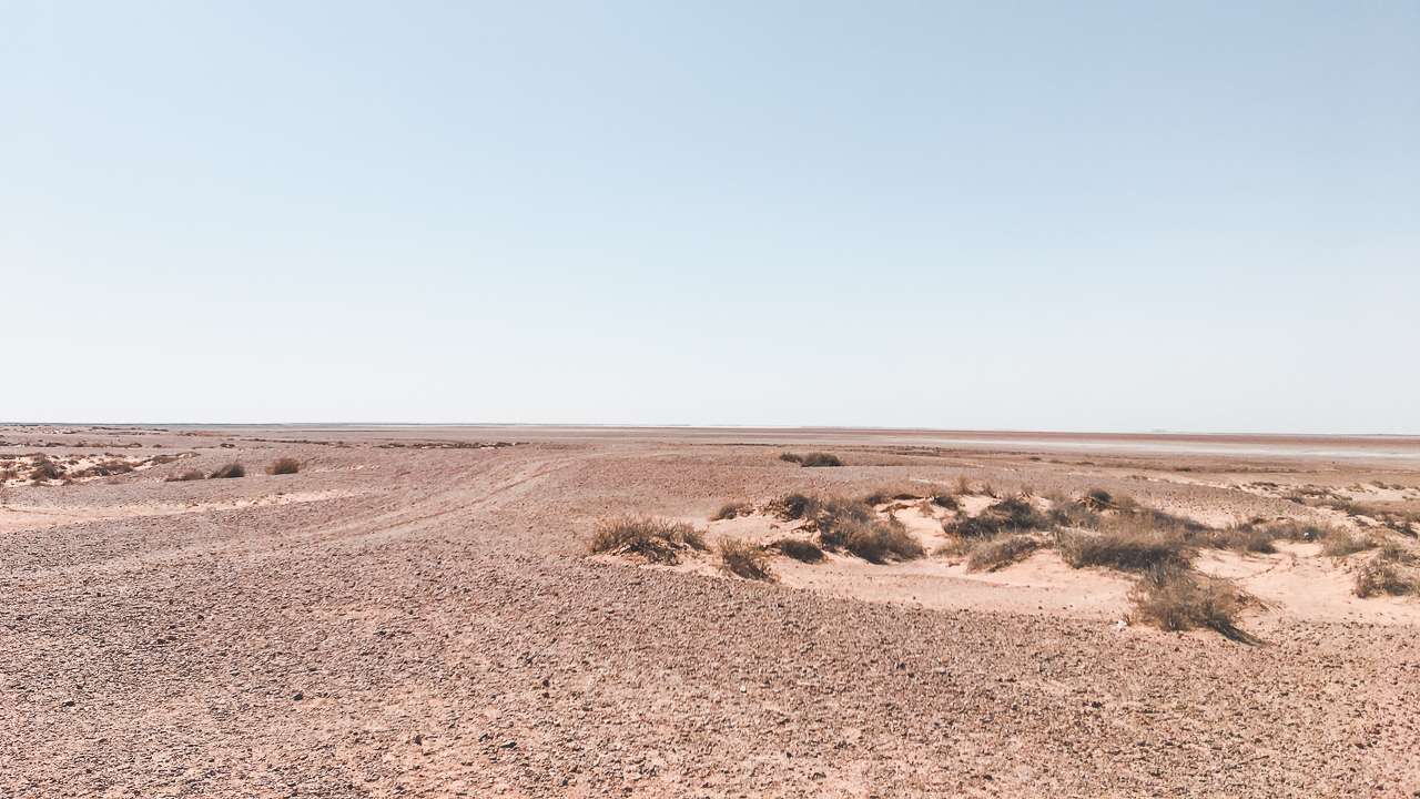
Big Flat Camping Area Quilters Ruins Oodnadatta Track
Our Assessment Of Quilters Ruins
Good overnight stop if you want somewhere quiet with a bit of history. Easy access, plenty of space, and you’ll usually have it to yourself. Just come prepared and don’t expect any luxuries. The ruins are interesting enough for a wander around and the sunsets make it worthwhile. Worth staying if you’re not in a hurry and want to get back in off the track for a night.