Algebuckina Waterhole (The Peake) – Oodnadatta Track
Algebuckina Waterhole (The Peake) – Oodnadatta Track
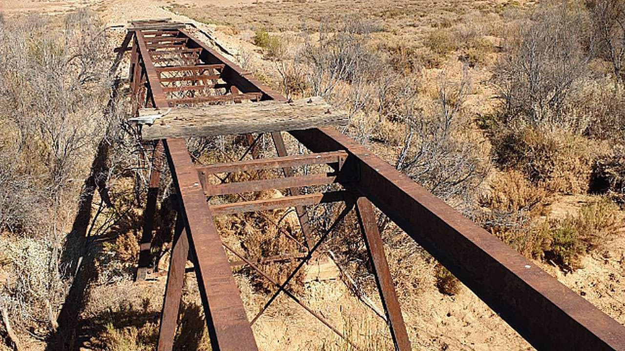
Algebuckina Waterhole sits about halfway along the Oodnadatta Track and makes for a decent campsite if you want to be near water. The Algebuckina Bridge campsite across the road is the more popular option but the waterhole campsite is more than worthy of consideration.
Table Of Contents
Algebuckina Waterhole (The Peake) Campsite Location And Info At A Glance
This is on the opposite side of the Oodnadatta Track to the Algebuckina Bridge. This is a free campground with no facilities. Dog friendly. Be responsible and take out what you take in.
Cost: Free
Type: Free Camping / Bush Camping
Pet Friendly: Yes
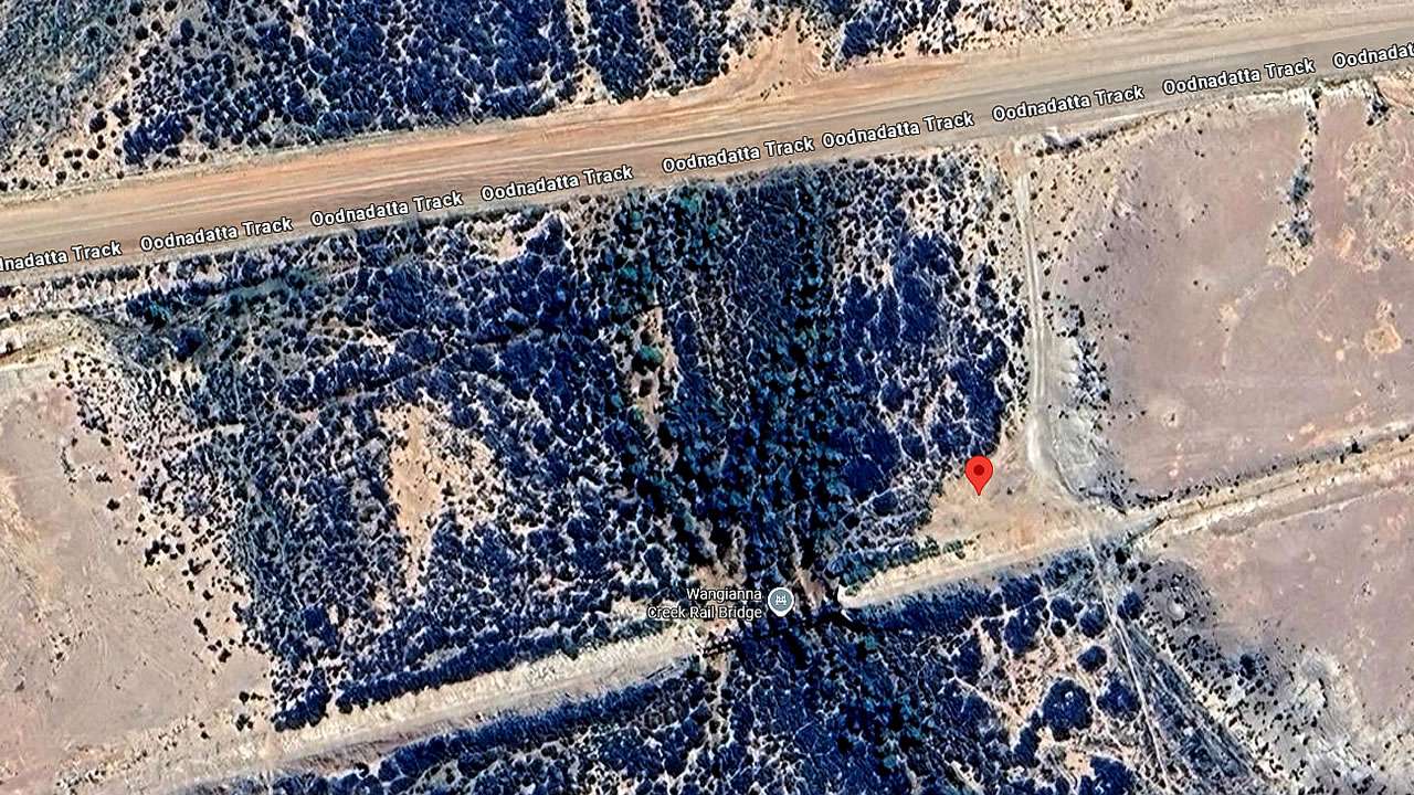
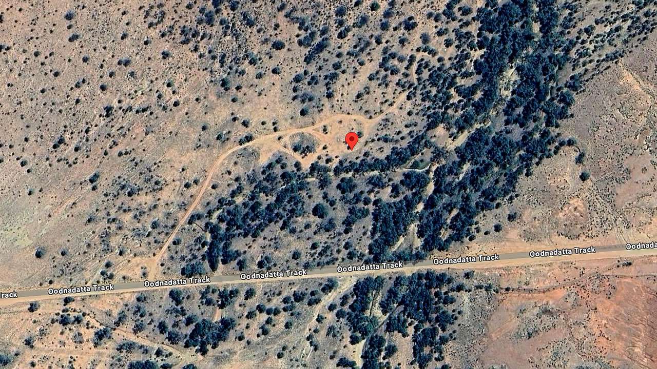
Location: -27.897280°, 135.821374°
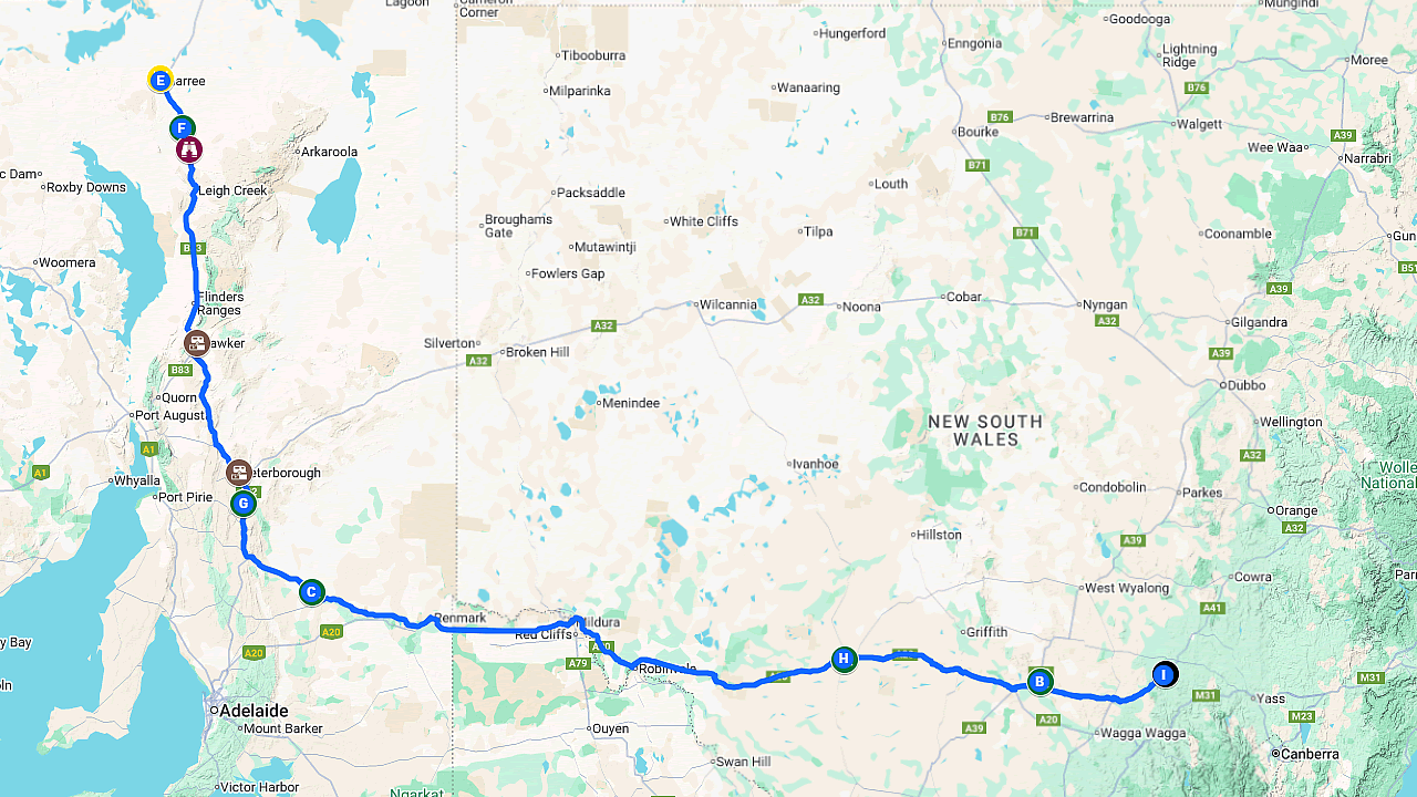
Distance From Marree: 349km
Distance From Oodnadatta: 58km
Distance From Marla: 312km
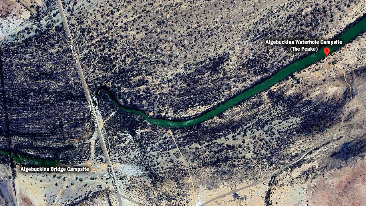
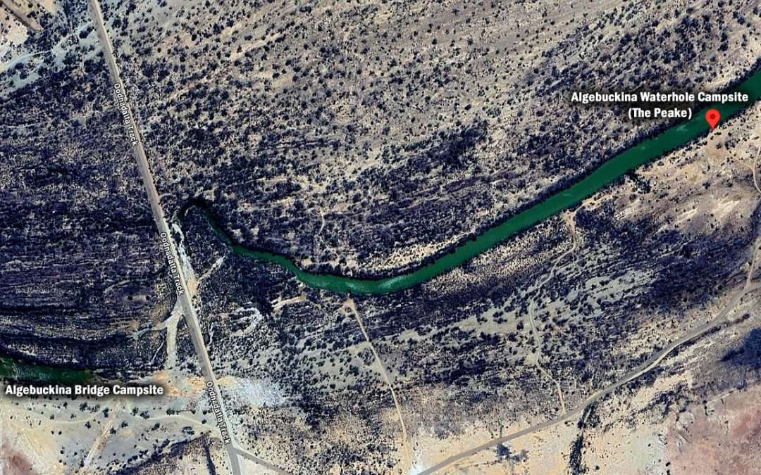
Algebuckina Waterhole (The Peake) Campsite On Google Earth
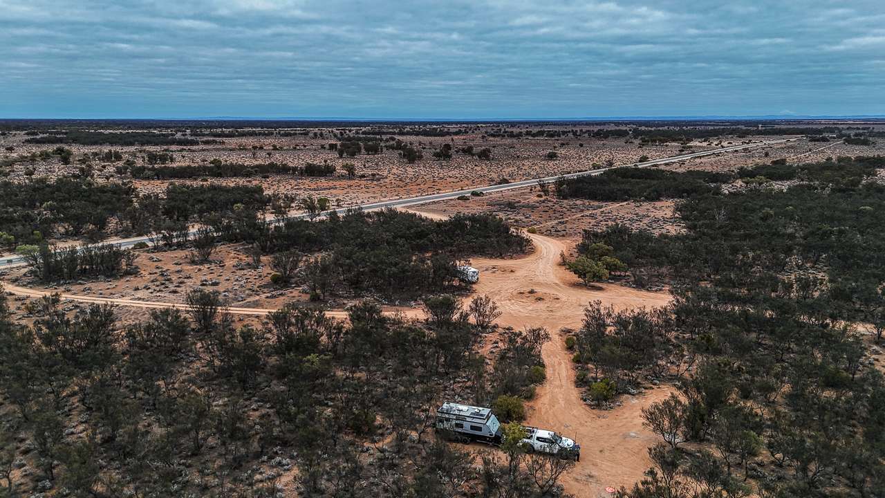
Getting Into The Algebuckina Waterhole Campsite
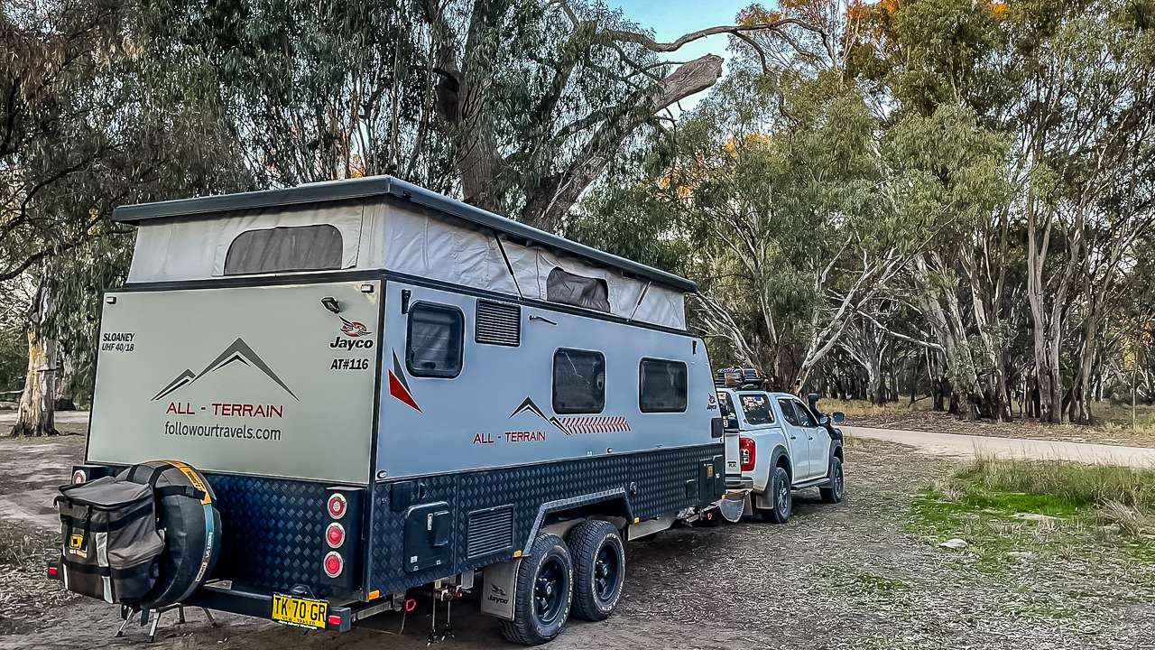
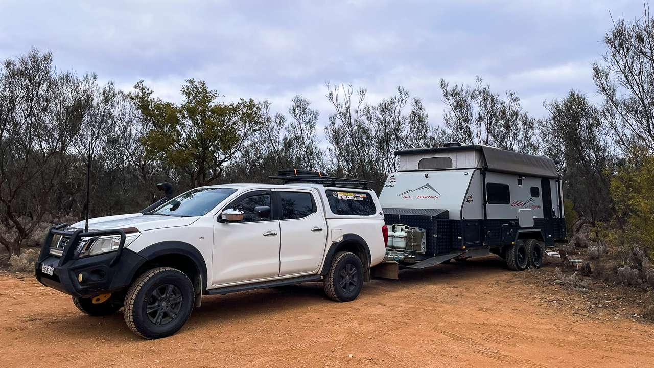
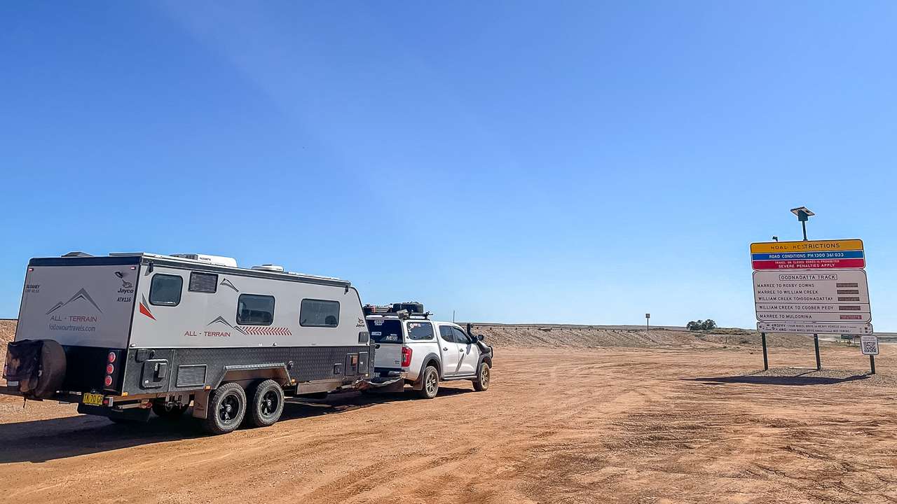
Turn east off the main track, opposite the bridge turnoff. Go through the first gate (close it behind you) and follow the track left before the second gate. Takes you down to the waterhole. Track’s not too rough but you’ll want 4WD especially if it’s been wet. There’s room to turn around at the end. Last time Amanda and I were there we managed to pick up a puncture on the caravan on our way out. It looked to be caused by a thin flinty looking rock that was very sharp – the hole was easily plugged at the next campsite.
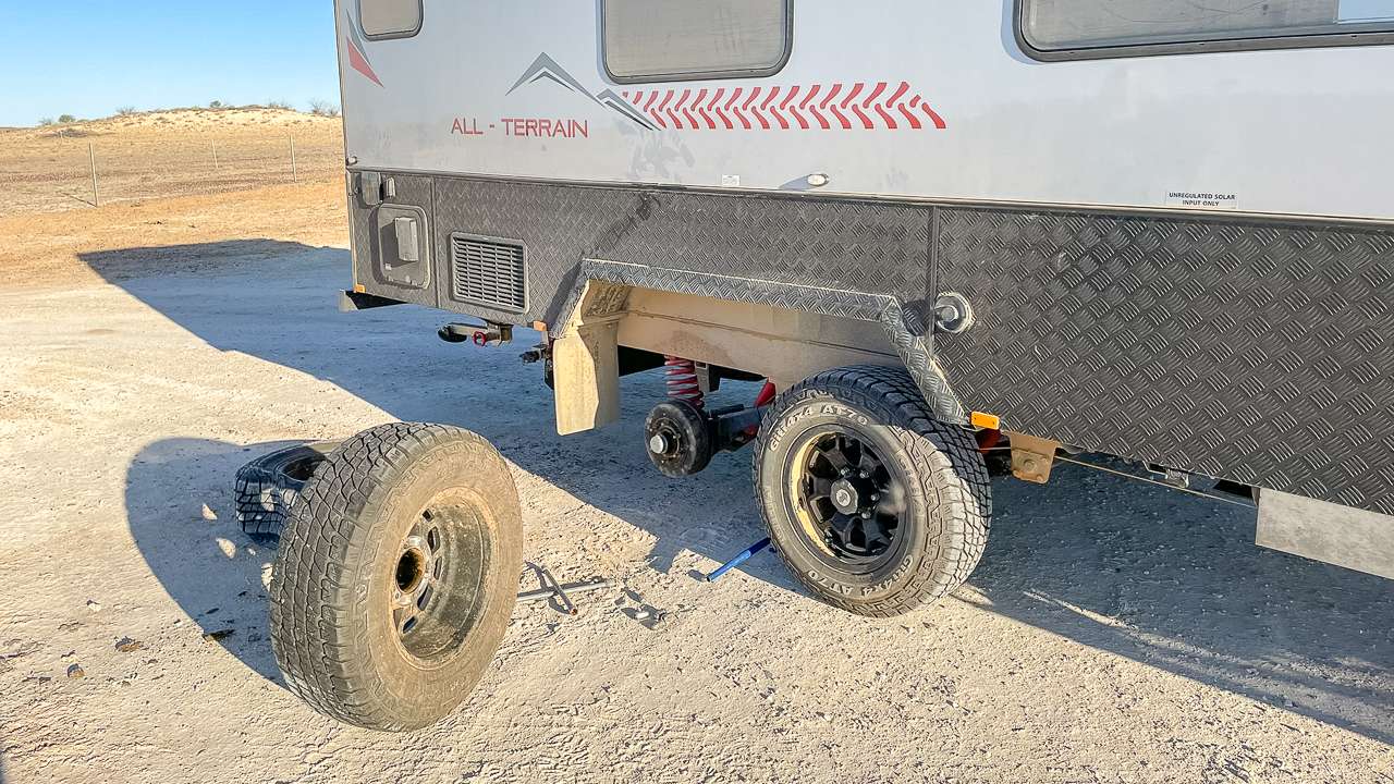
Jayco All Terrain Algebuckina Waterhole Flat Bloody Tyre
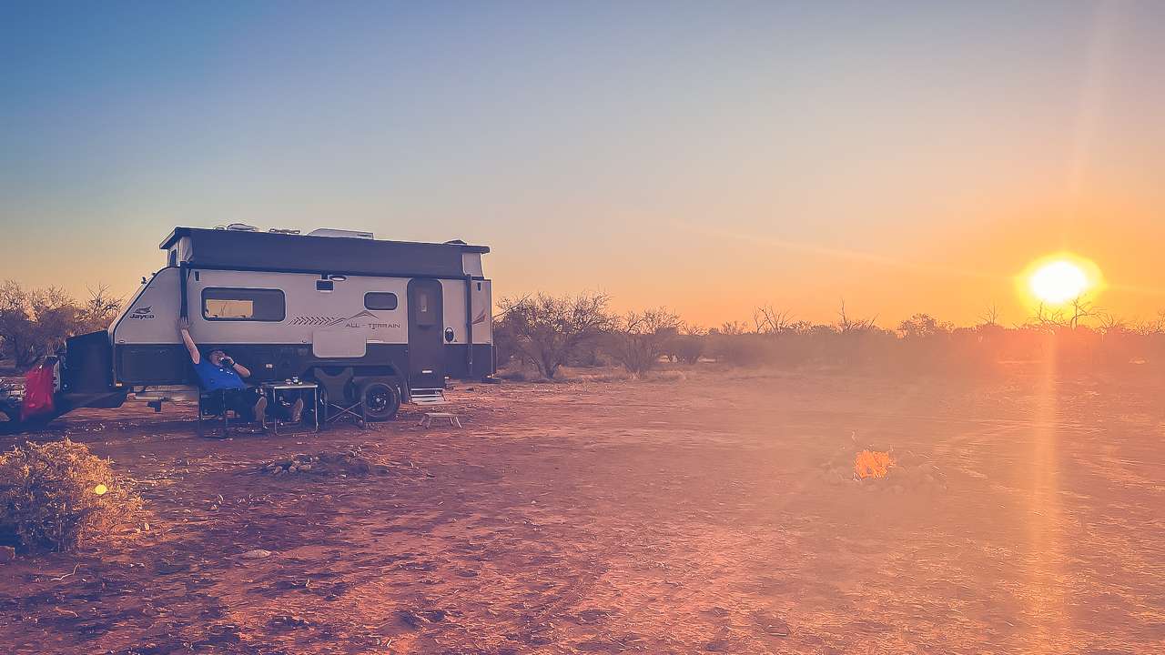
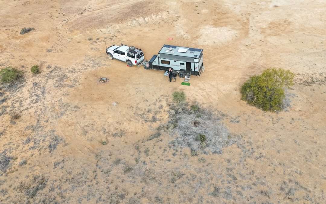
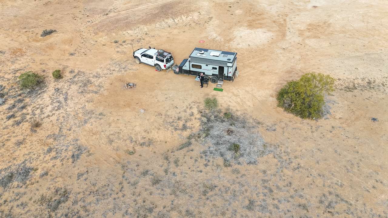
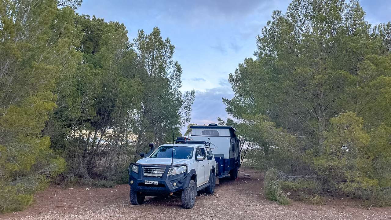
The Algebuckina Waterhole Campsite
Best spots are right on the bank. Water views and you can see the bridge. Usually pretty quiet – sometimes you’ll have it to yourself other times there might be a few other campers around. Lots of birds, pelicans, cormorants – all the usual suspects. We heard dingoes once during the night but they stayed well away and we never saw them.
Practicalities
- Water’s swimmable but muddy. Bottom’s pretty soft and squishy. Refreshing on a hot day though.
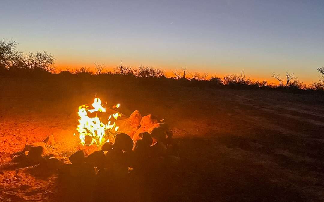
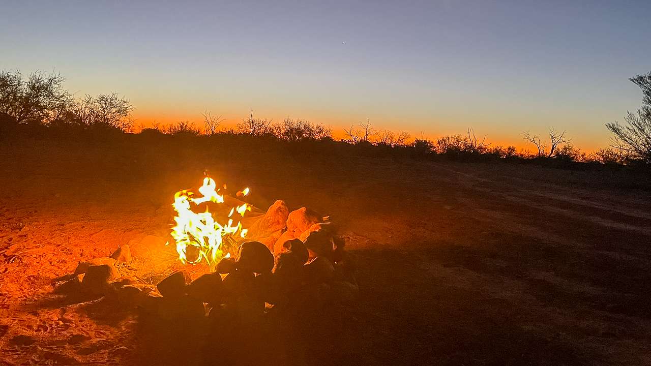
- Fires are okay but bring your own wood – there’s bugger all lying around. Use the existing fire pits if you can.
- Room for maybe 4-5 vans along the water – more if you go back a bit. Track can be narrow in spots so watch for oncoming traffic. Soft ground – easier to reverse in than try turning around for some spots.
What To Bring
- Everything. No facilities at all. Water, food, rubbish bags.
- Fly nets are essential when the wind drops. Mosquitoes can be bad depending on the season.
- Close gates behind you.
- If you want to have a fires bring your own firewood.
- Worth exploring past the obvious camping area – some quieter spots further in.
Bottom Line
Algebuckina Waterhole (The Peake) is a good spot for a night or two. It’s quiet with lots of birds around. There’s also bit of history nearby with the bridge. Come prepared for flies and mozzies.