Bridge Ruins Campsite: Oodnadatta Track Marree End
Bridge Ruins Campsite: Oodnadatta Track Marree End
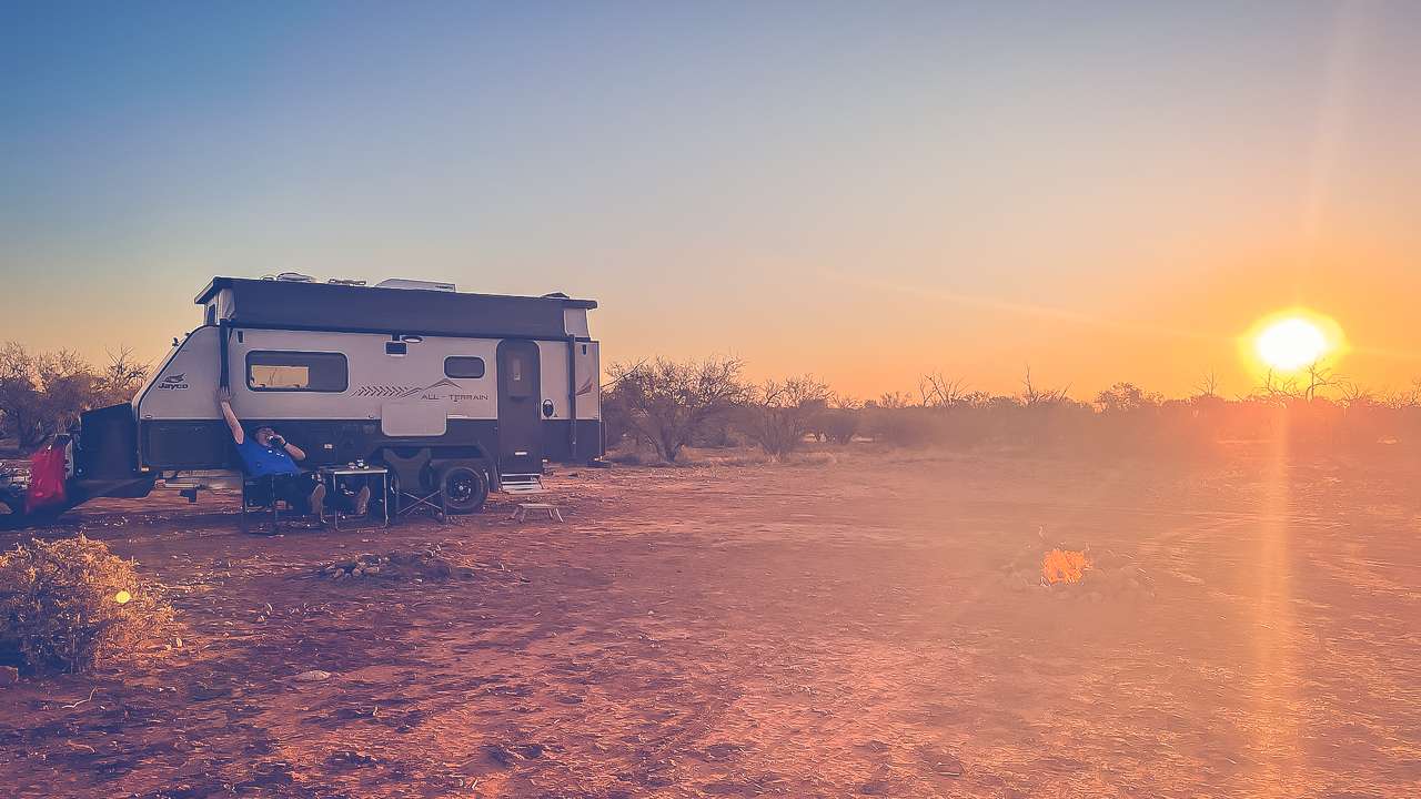
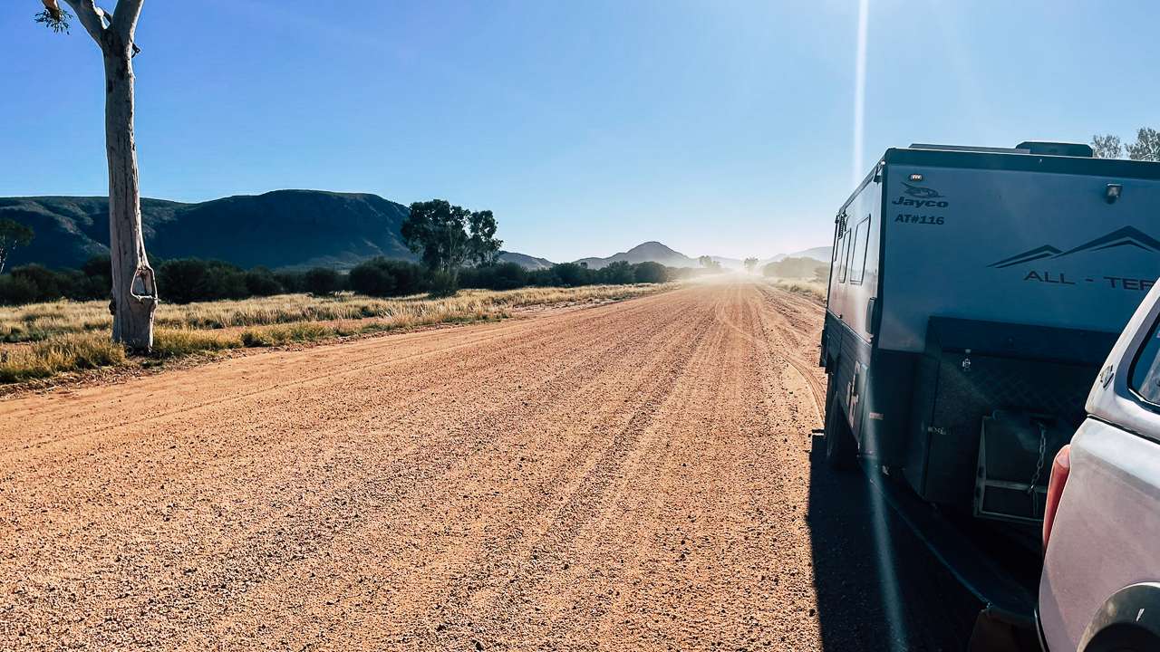
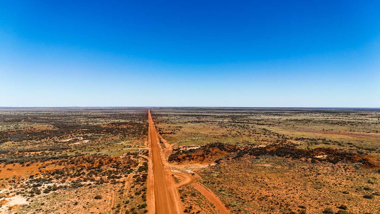
The Bridge Ruins Campsite at Callana is a great overnight stop on the Oodnadatta Track. If you’ve just left Marree after travelling up from South and have had a long day then this is a great place for you to camp up for the night. Alternatively if you’ve all but finished travelling the Oodnadatta track from the northern end and are looking for one more night on the track then the Bridge Ruins are your best bet as well.
Table Of Contents
About The Bridge At The Bridge Ruins Campsite On The Oodnadatta Track
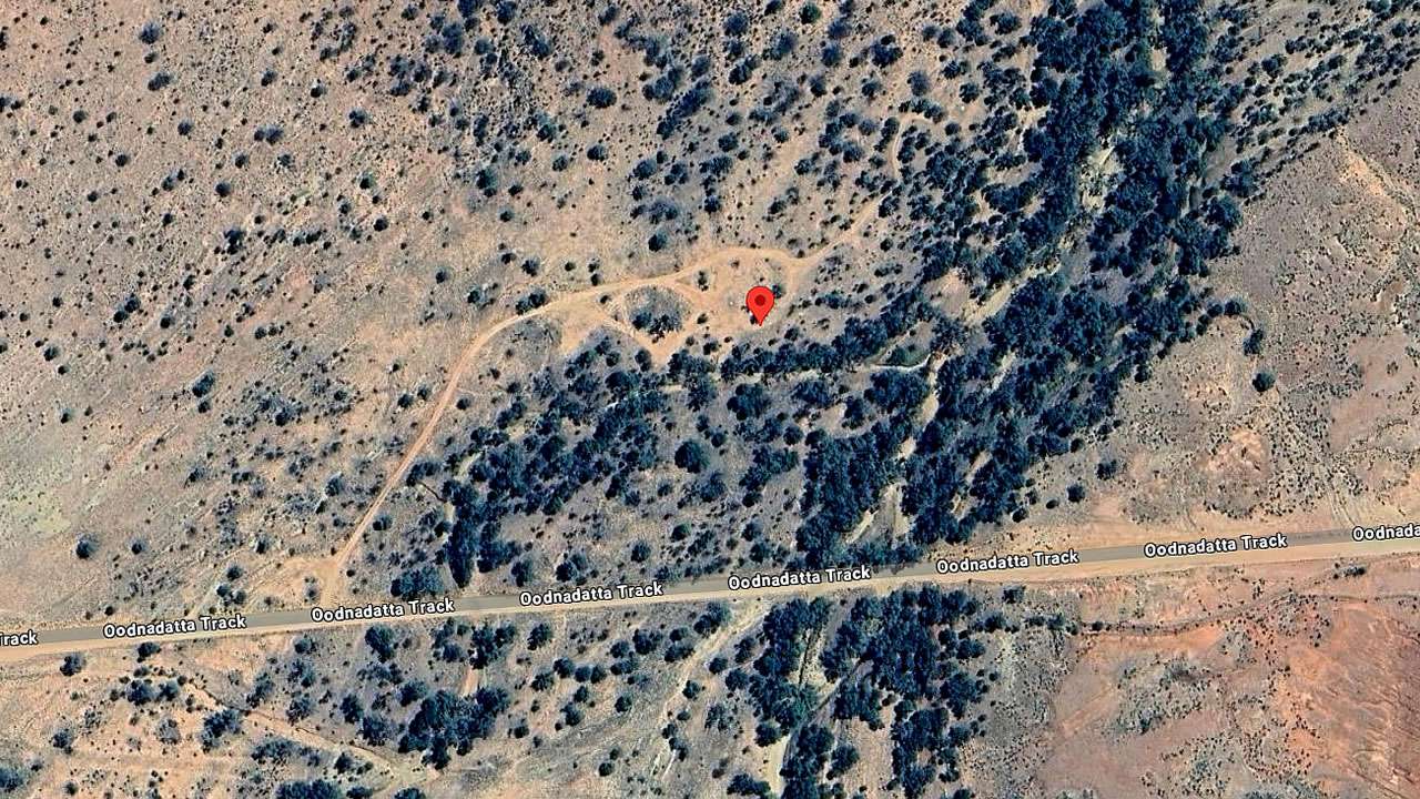
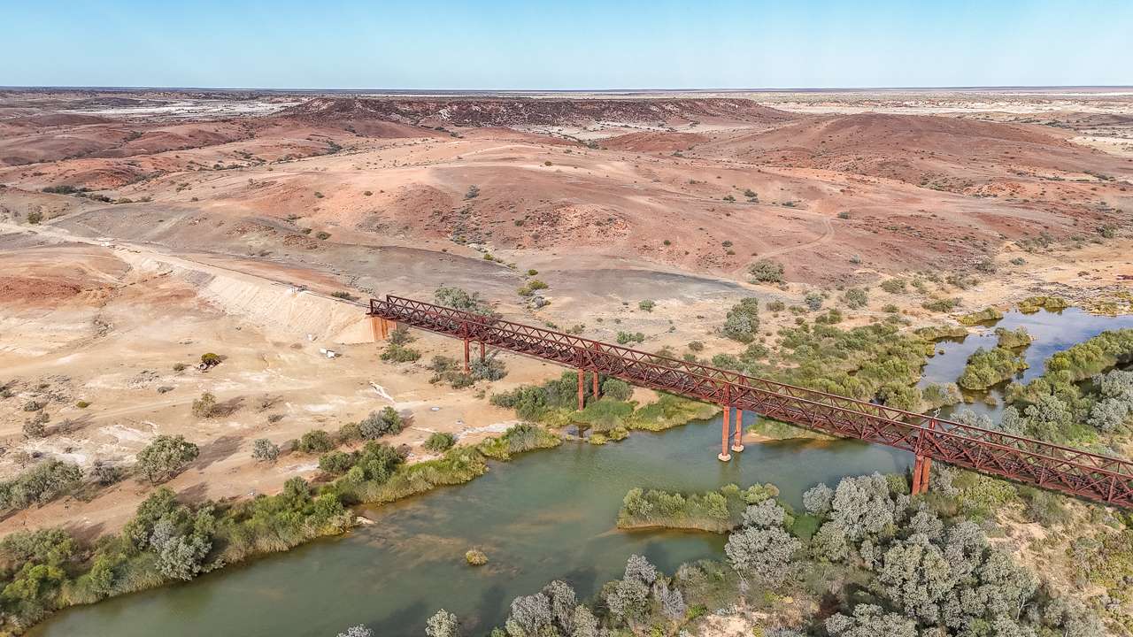
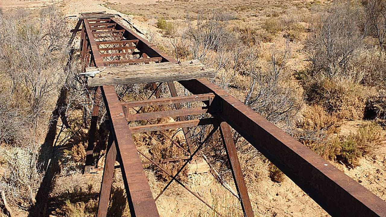
Google Maps has the bridge name listed as “Wangianna creek Railway Bridge” however I am happy to stand corrected. The Bridge Ruins campsite near Callana Siding is located approximately 34 kilometers from Marree. This free campsite is of historical interest with some remains of the Old Ghan railway line that once connected Port Augusta to Alice Springs.
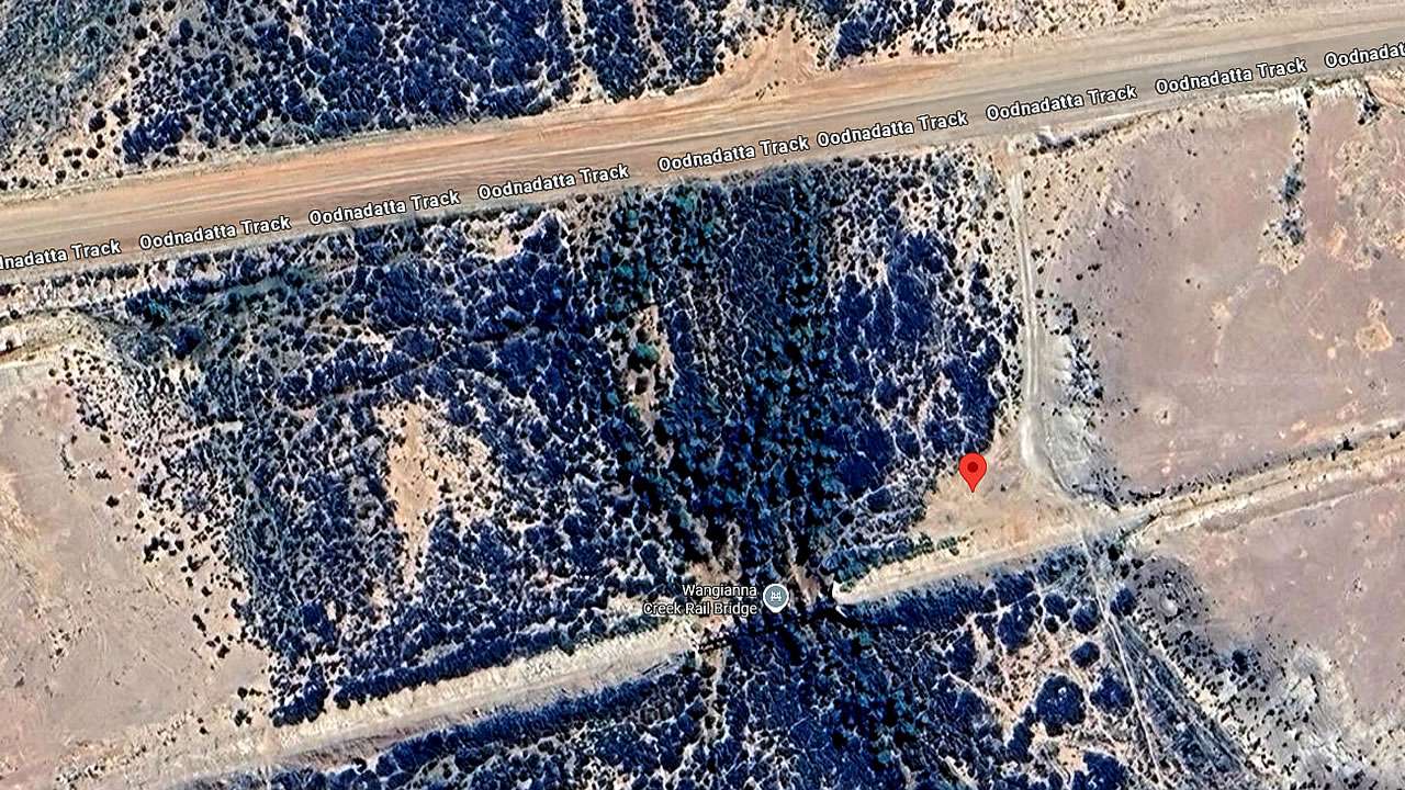
Bridge Ruins Campsite On Google Earth
Bridge Ruins Campsite At Callana Location And Info At A Glance
Cost: Free
Type: Free Camping / Bush Camping
Location: -29.650705°, 137.716823°
Pet Friendly: Yes
Distance From Marree: 14km
Distance From Oodnadatta: 371km
Distance From Marla: 625km
What You’ll Find Here
The Callana Siding area contains several abandoned bits of railway infrastructure including a water tower and pipe that remain from the operational period of the Old Ghan. While less extensive than other sites such as Algebuckina these abandoned pieces are still cool to look at and explore.
What You Need To Know About Camping At Bridge Ruins Campsite On The Oodnadatta Track
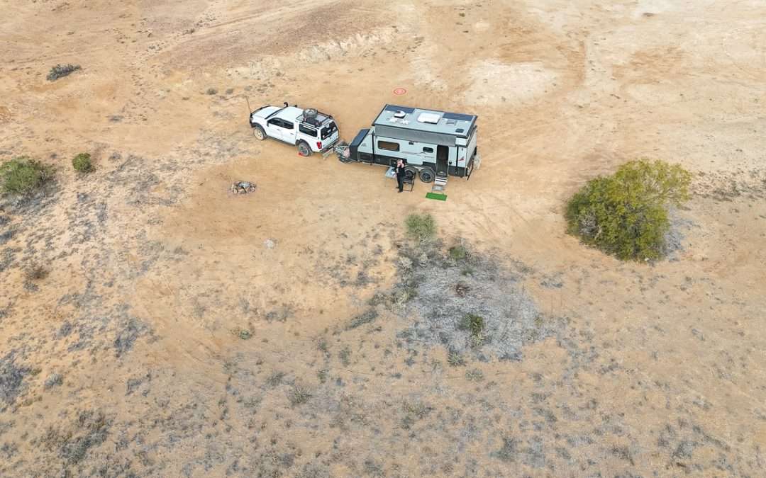
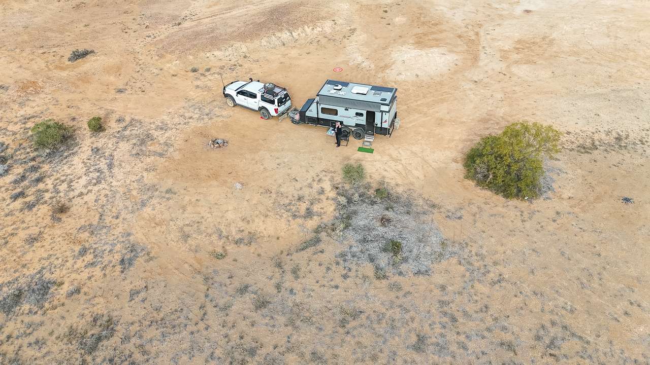
- The campsite is about 50 metres south of the former railway crossing point.
- The area has just enough room for two to three caravans.
- Access includes adequate turning space for caravans.
- Some visitors with four-wheel drive vehicles and no caravan utilise the embankment area for additional camping spaces away from the main track.
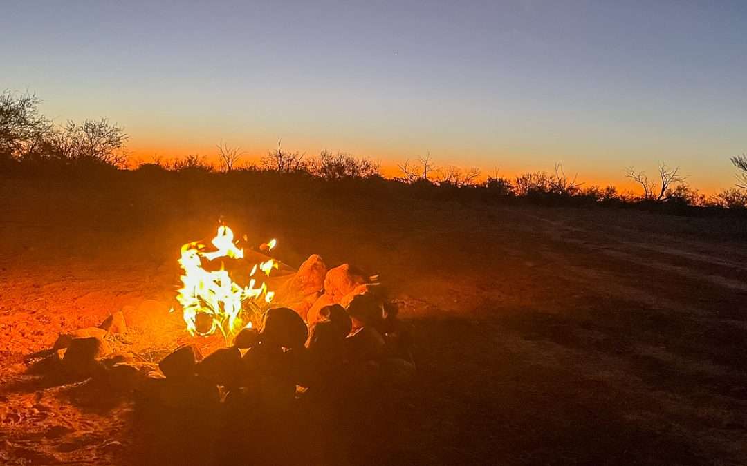
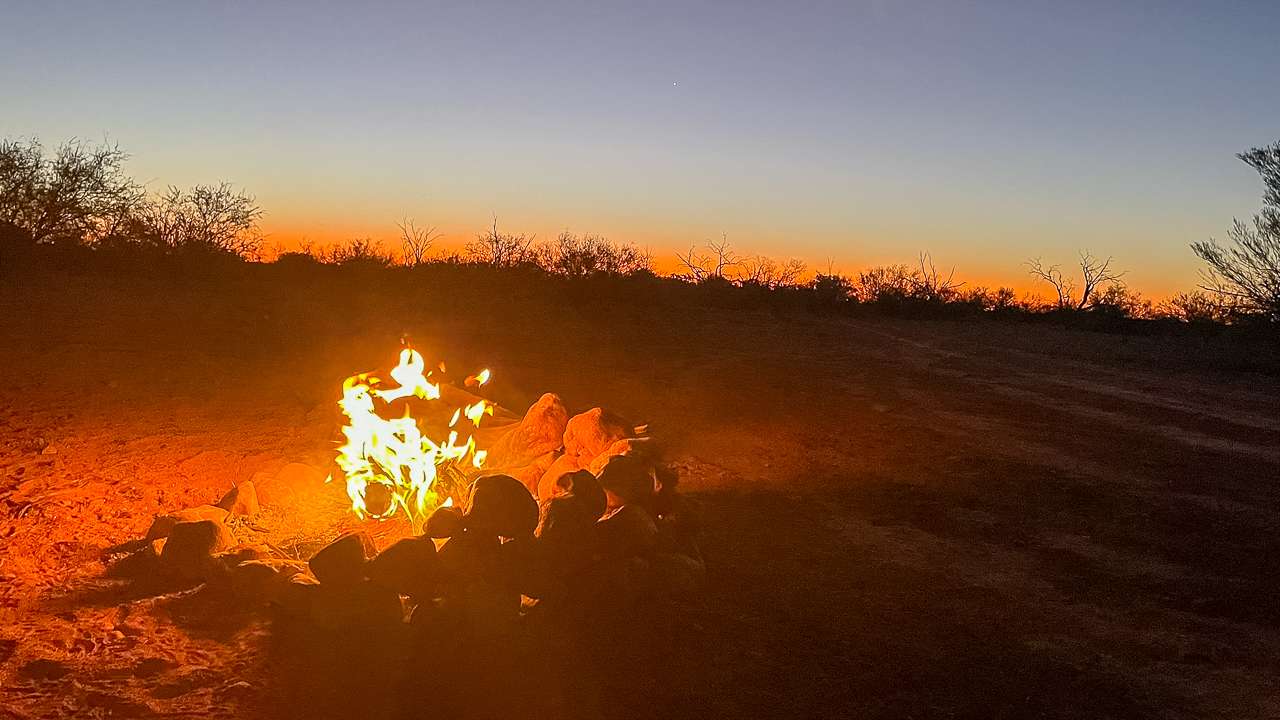
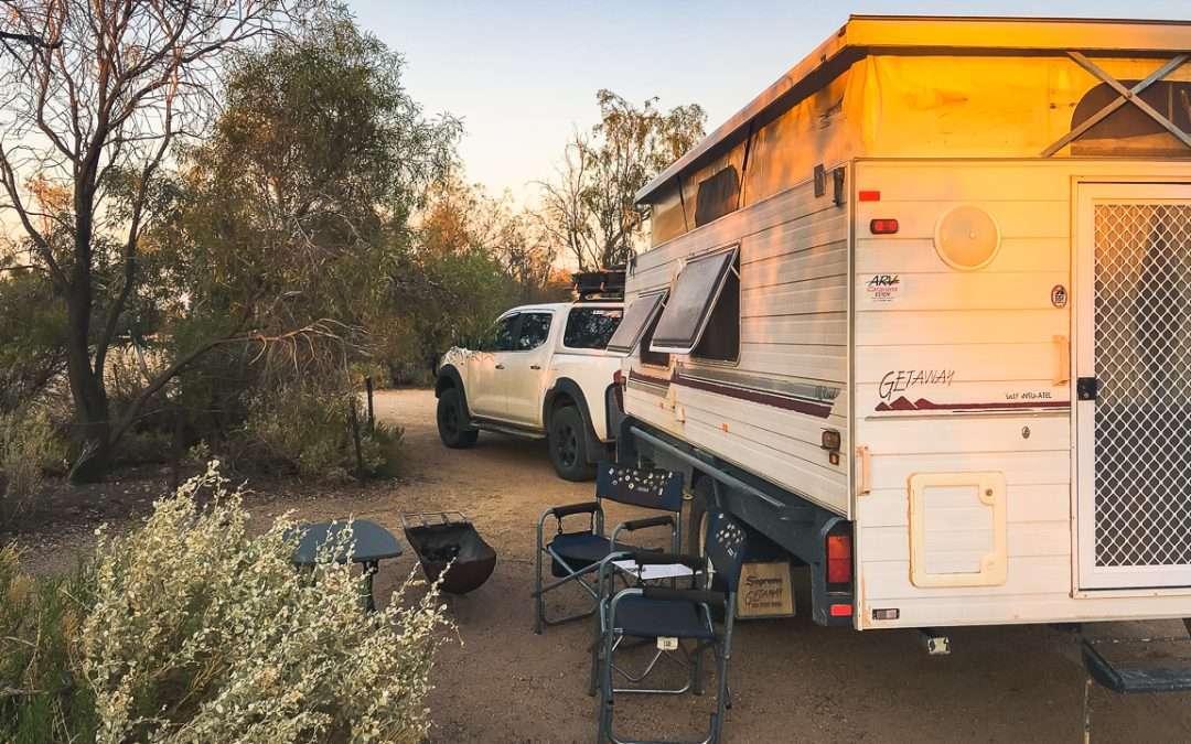
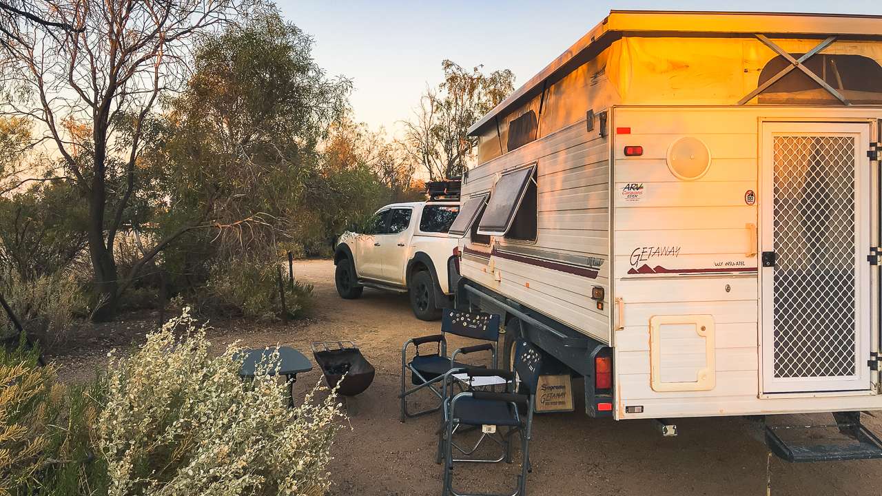
The location gives a quiet camping environment with minimal traffic disturbance. You can expect clear views for sunrise and sunset viewing. The site has absolutely zero facilities. There’s plenty of local wildlife (birds) including fairy wrens and pipits. And flies, there’ll probably be quite a few flies.
Ground conditions can sometimes be soft. It might be a better option to reverse into position instead of going in nose first. The site does give good shelter from strong winds.
Bridge Ruins Campsite On The Oodnadatta Track
Summary
Bridge Ruins Camp Site suits travelers seeking an easy overnight stop near the Marree end of the Oodnadatta Track. You should exercise caution when accessing the site when towing a caravan. The location represents typical outback camping conditions – no amenities with scenic surroundings!