Wanaaring Free Camping On The Paroo River NSW
Wanaaring Free Camping On The Paroo River NSW
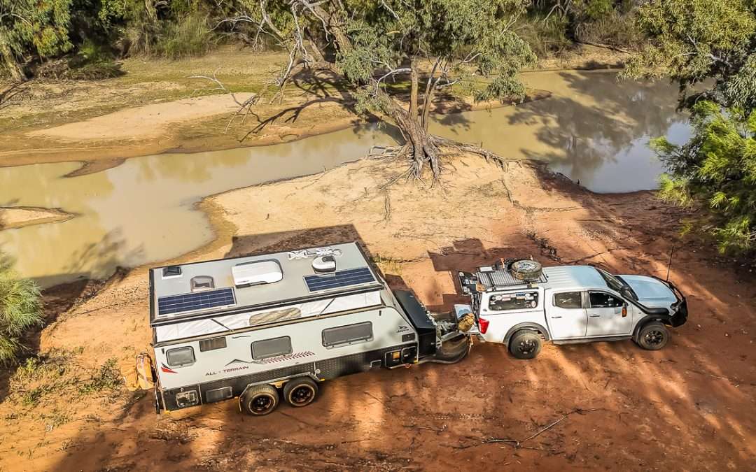
Wanaaring free camping on the Paroo River with toilets and showers. We camped here with mates and found it to be absolutely awesome.
We have recently spent a night at Wanaaring free camping on the Paroo River in outback NSW with a group of mates. It’s a really great free campsite with toilets and showers only a short walk away. We camped at the Wanaaring free camp in early October 2025.
Wanaaring Free Camping
Table Of Contents
About Wanaaring Free Camping On The Paroo River
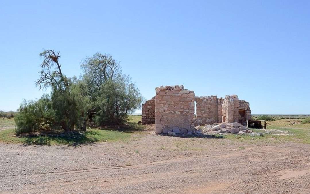
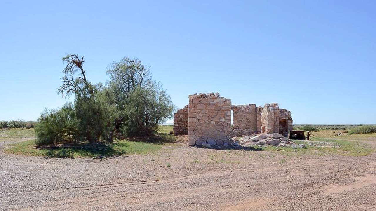
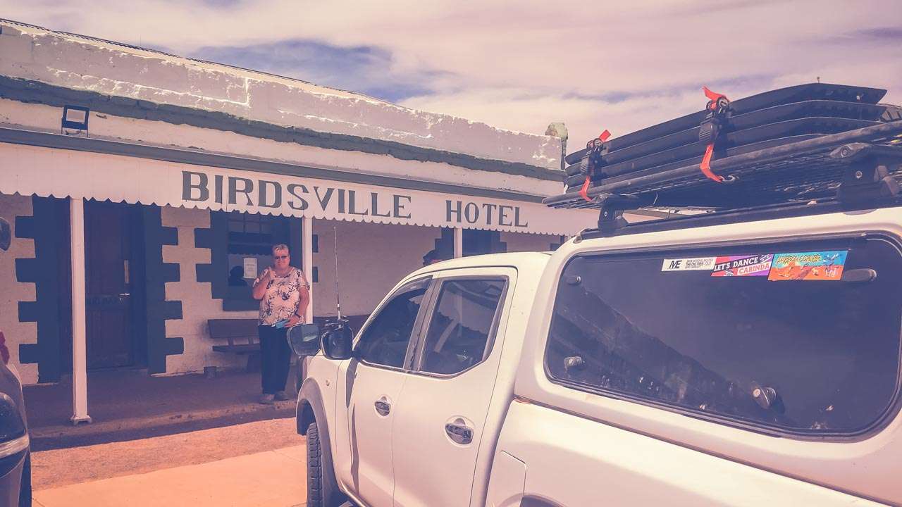
You’ll find the Wanaaring free camp across the road from the closed down Wanaaring Pub. It’s a shame the Wanaaring Pub was closed as I’d have loved to have had a beer there.
There’s a donation box next to the shower and toilet block with proceeds going to the local Wanaaring Rural Fire Service. Nobody in our group used the toilets or showers but we had a look and they were very clean and well put together. We all chucked in a donation in the box to say thank you for access to the campsite.
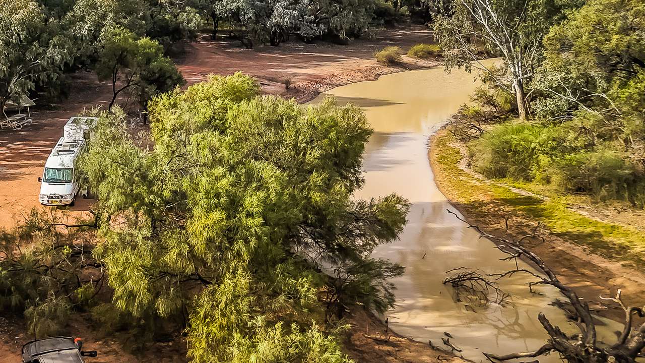
The free campsite at Wanaaring has enough room for up to ten vans depending upon how close you like to be to your neighbours. Considering the location of Wanaaring NSW I couldn’t see the free campsite at Wanaaring being overly crowded at any time. It’s dog friendly which is an added bonus.
Address: Wanaaring, New South Wales
GPS Coordinates: -29.7032740, 144.1504620
Amenities: Showers & Toilets Across The Rd (Donation)
Accessibility: Caravans, Camper Trailers, Vans
Cost: Free
Pet Friendly: Yes
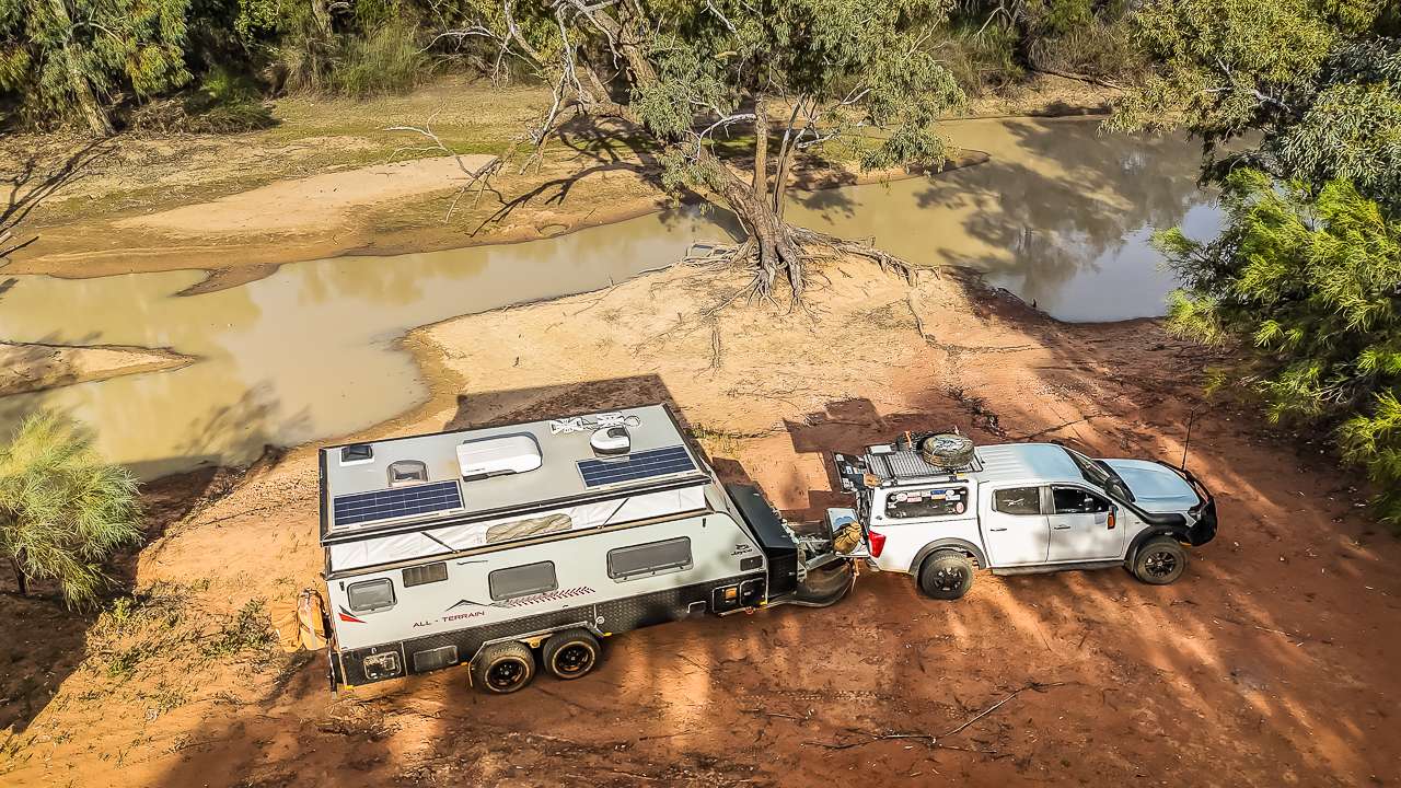
Free Camping At Wanaaring NSW On The Paroo River
How To Access The Free Camping Area At Wanaaring NSW
A levee bank has been built across Bourke-Milparinka Rd to protect the town from flooding. They have put road closed signs in place making the campground not easily accessible. However it is accessible. I turned onto Hebden St. The RFS with toilets/showers beside it is to the left on Hedben St. Turn left onto a dirt track that’ll take you around the back of the RFS. This will bring you back onto Bourke-Milparinka Rd (turn right onto it). There’s a small blue camping sign on your left after turning onto Bourke-Milparinka Rd. Keep right of the blue sign as that track is a much easier way to get into the camping area. Of course we took the track to the left and had a hard time getting in. It was only after managing to get in that we saw the easier track.
It’s a good idea to pull up in front of the abandoned Wanaaring Hotel and walk across the road and up onto the levee bank. You can easily see the camping area from there as well as how to access the Wanaaring free camping area. If you get a bit lost or can’t find the camping area ask a local and they’ll set you straight.
Wanaaring General Store And Caravan Park
If you aren’t into free camping then the Wanaaring General Store & Caravan Park is nice and clean and offers sites with power and water as well as unpowered sites.
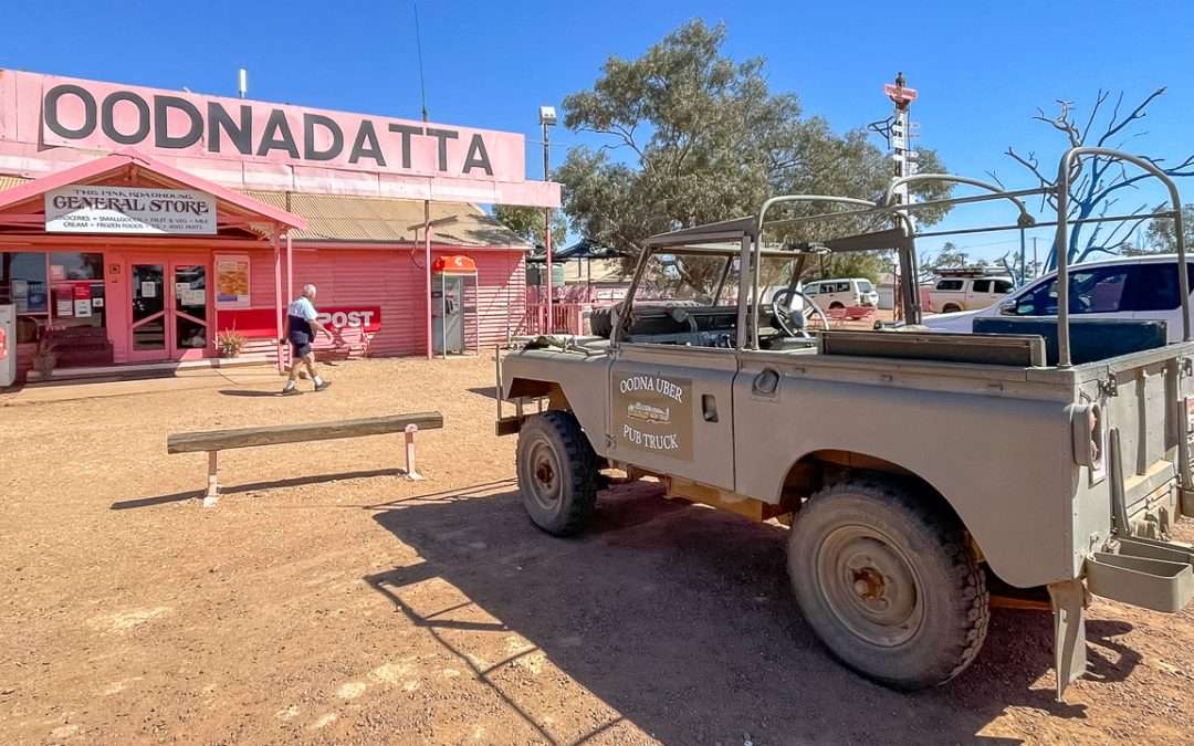
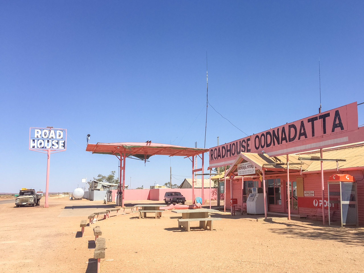
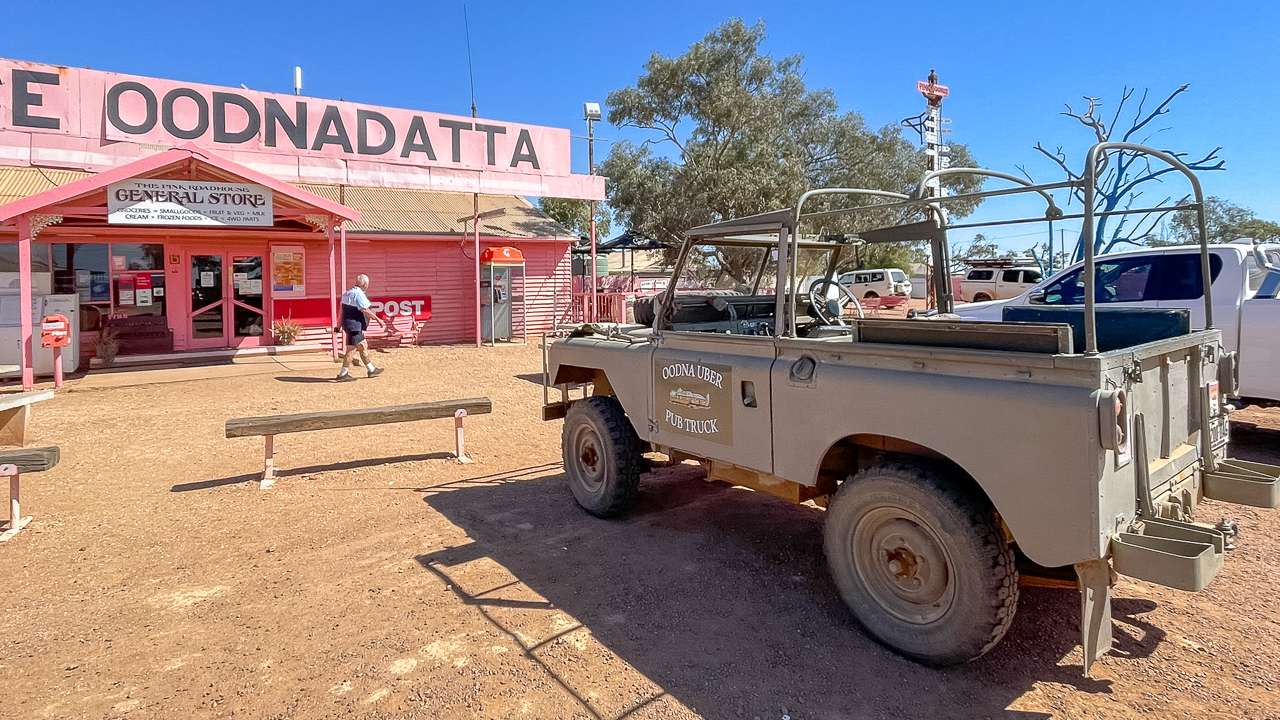
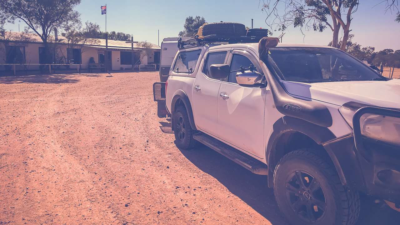
Before leaving town we called into the Wanaaring General Store. We all fuelled up and we all bought some souvenirs. I got myself a nice Wanaaring number plate to add to my growing collection. We also had bacon and egg rolls. I’d previously read reviews on how good the food was here but I was surprised when I got my roll, it was big, it was fat and it was juicy! Absolutely magnificent doesn’t begin to describe just how good it was.
Getting To Wanaaring NSW – Cut Line Road conditions
We travelled through to Wanaaring from Tibooburra on the Cut Line and found the road to be in really good condition in early October 2025. A lot of it looked to have been graded quite recently.

Driving The Cut Line Between Tibooburra And Wanaaring NSW October 2025
Summary
Wanaaring has a free riverside campsite on the Paroo River in outback NSW. Located across the road from the closed pub. The site accommodates up to ten vans, is dog friendly, and features clean toilets and showers with a donation box supporting the local Rural Fire Service.
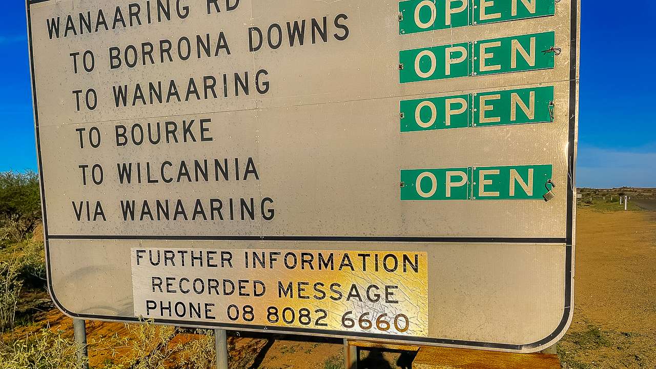
Wanaaring Road Cut Line Road Conditions Sign