25 Swan Hill Free Camping Sites: Perfect For Swan Hill Camping
25 Swan Hill Free Camping Sites: Perfect For Swan Hill Camping
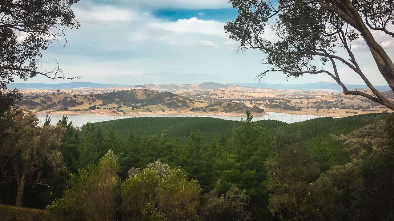
Swan Hill free Camping guide: Everything you need for Swan Hill Camping, Free Camping Swan hill tips, and top local activities along the Murray. Swan Hill is located on the mighty Murray River in Victoria. It’s a perfect destination for caravan and camping enthusiasts seeking an authentic Australian outback experience.
With a rich historical significance, abundant natural beauty and a diverse range of activities, Swan Hill free camping opportunities provide the ideal base for exploring this charming region. This comprehensive guide explores everything you need to know about free camping in Swan Hill, from its fascinating history to the top attractions that make this Victorian gem worth visiting.
Table Of Contents
- 25 Swan Hill Free Camping Sites: Swan Hill Free Camping At It’s Best!
- 1. Murray River Reserve
- 2. Tyntynder Central Reserve
- 3. Loddon Floodway
- 4. John’s Bend
- 5. Pental Island Bush Camping
- 6. Oak Bend
- 7. Caelli Lane Track Ext. Campsite
- 8. Pental Island Camp Site 3
- 9. Speewa Ferry Crossing Campsite
- 10. Pental Island Rd Campsite
- 11. Lake Boga Pub
- 12. Pental Island Little Murray River
- 13. Wood Wood Vinifera
- 14. Jibbjen
- 15. Nayah-Vinifera Park #3
- 16. Vinifera Camping Area (Nyah-Vinifera Park)
- 17. Murray On Pental
- 18. Little Murray
- 19. Nyah State Forest Murray River Reserve
- 20. AnZ Campsite
- 21. River Bend
- 22. Deb’s Camp
- 23. Devils Elbow Bend
- 24. Full Sun Riverside Camp
- Swan Hill’s Rich History
- Swan Hill Free Camping: A Growing Trend
- Travel Times To Swan Hill
- Swan Hill Camping: Seasonal Considerations
- 10 Things to Do Near Swan Hill
- Free Camping Swan Hill: What to Expect
- Swan Hill Free Camping: Responsible Practices
- Swan Hill Camping: Safety Considerations
- Free Camping Swan Hill: Best Seasons to Visit
- Preparing For Your Swan Hill Free Camping Adventure
- Swan Hill Free Camping: Environmental Considerations
- Swan Hill Camping: Cultural Significance
- Free Camping Swan Hill: Local Facilities And Support
25 Swan Hill Free Camping Sites: Swan Hill Free Camping At It’s Best!
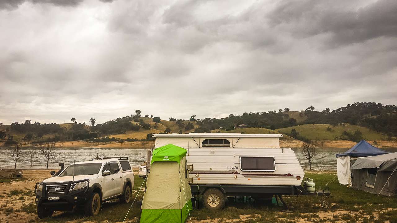
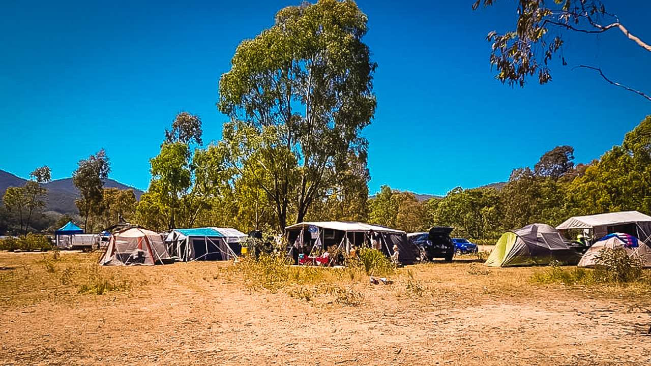
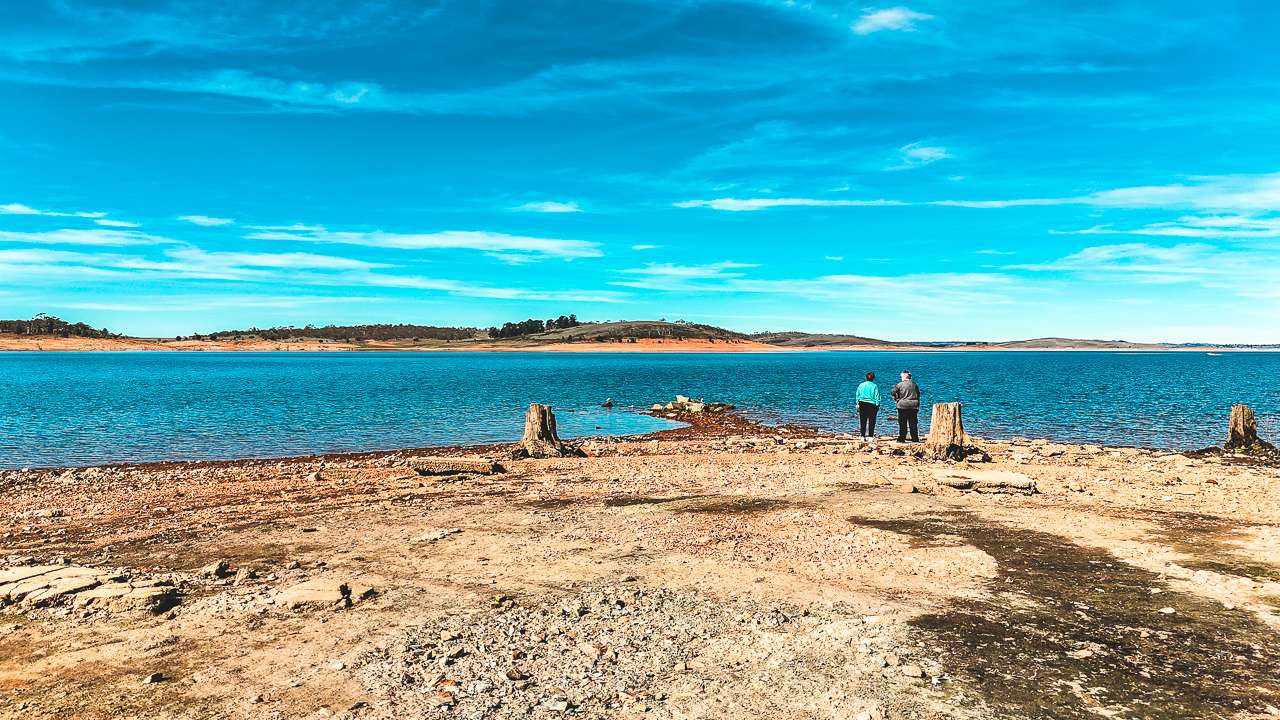
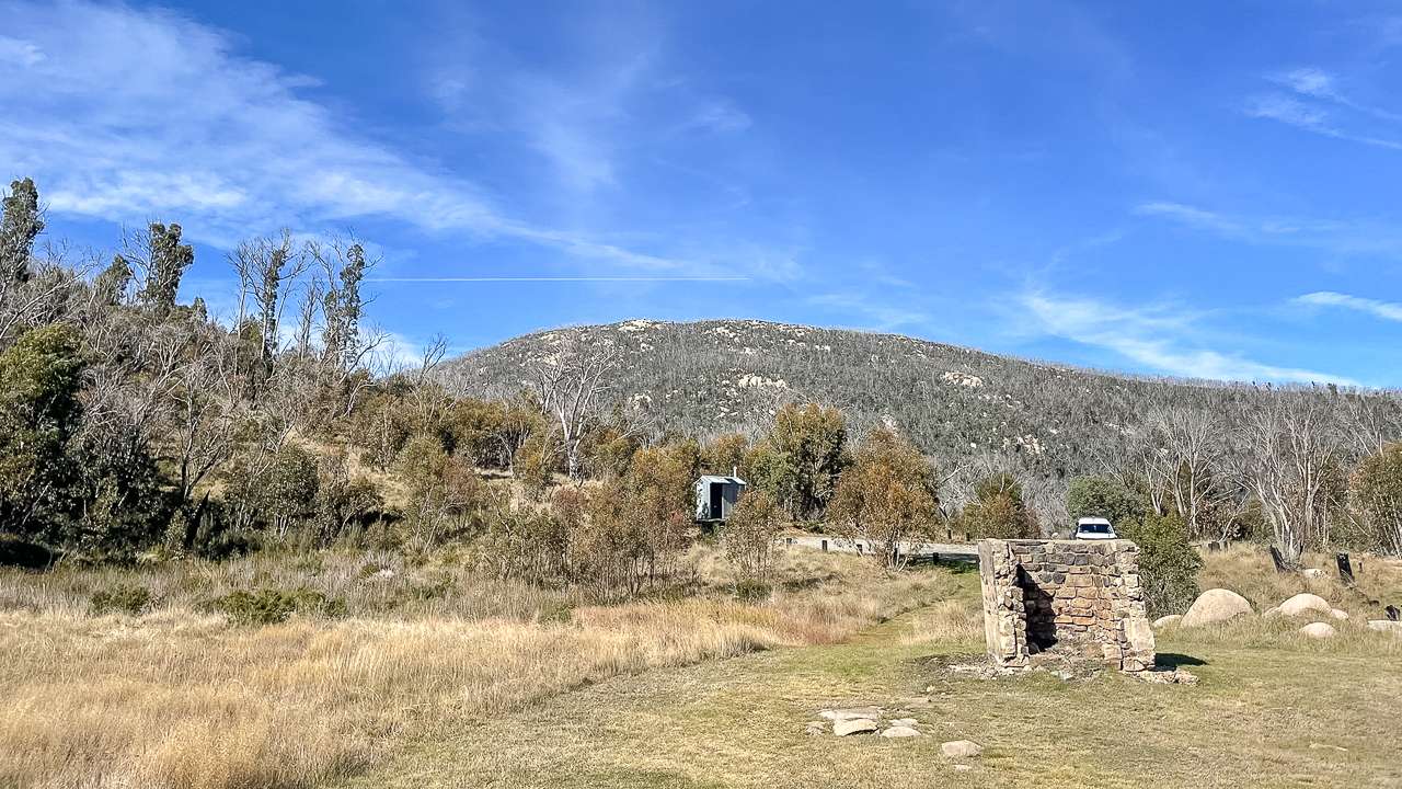
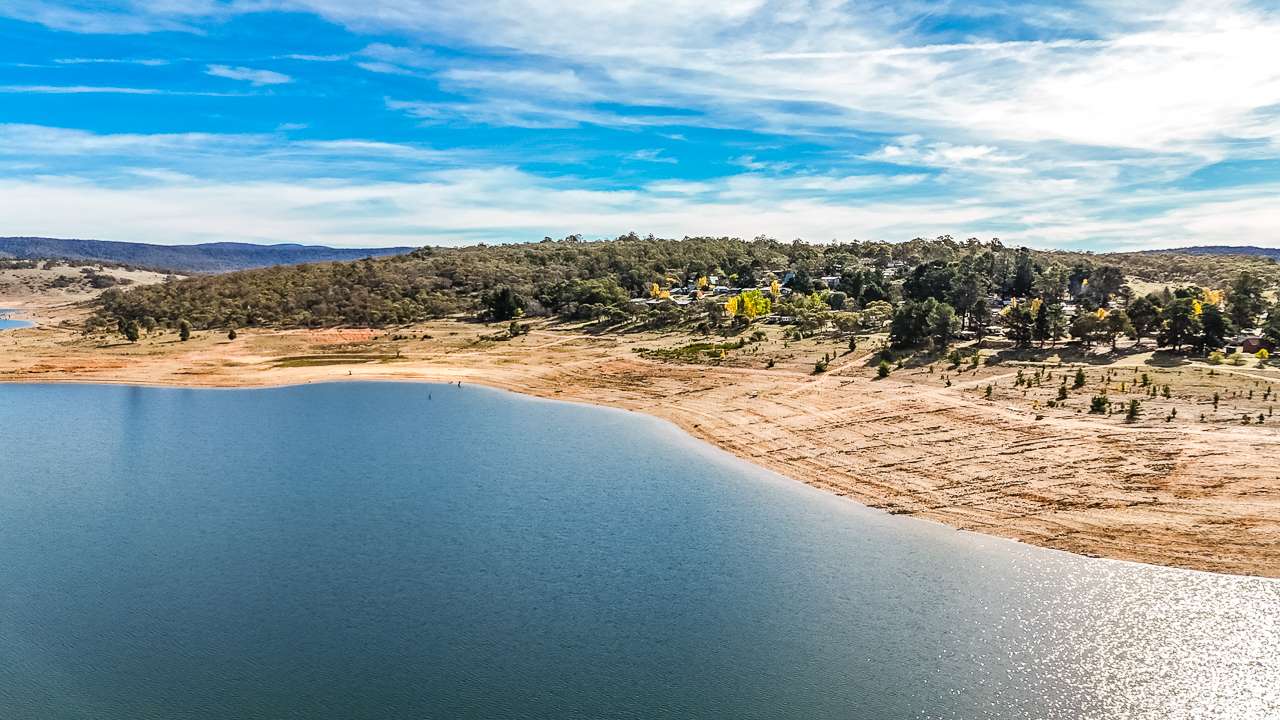
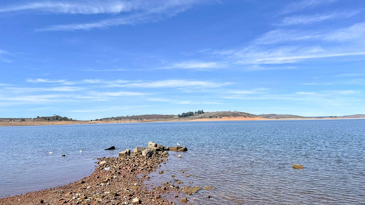
If you’re planning a budget-friendly getaway, our list of 25 Swan Hill free camping sites offers plenty of options to enjoy the great outdoors without spending a cent. All of these free camping spots near Swan Hill VIC welcome campers looking for a peaceful bush or riverside retreat, with most allowing pets so you can bring your furry friends along for the adventure. While facilities are generally minimal, a couple of these sites provide basic toilets, making them a convenient choice for families and longer stays. Whether you’re travelling with a caravan, camper trailer, or tent, these Free Camping Swan Hill locations provide authentic, affordable ways to experience Swan Hill camping surrounded by nature and the iconic Murray River landscape.
1. Murray River Reserve
Great spot only 10 minutes from town. Plenty of room.
Type: Free Camping
Cost: Free
Location: 62 Runciman Road, , Victoria, Victoria
GPS: -35.290946°, 143.580764°
Distance To Swan Hill VIC: 5.8km
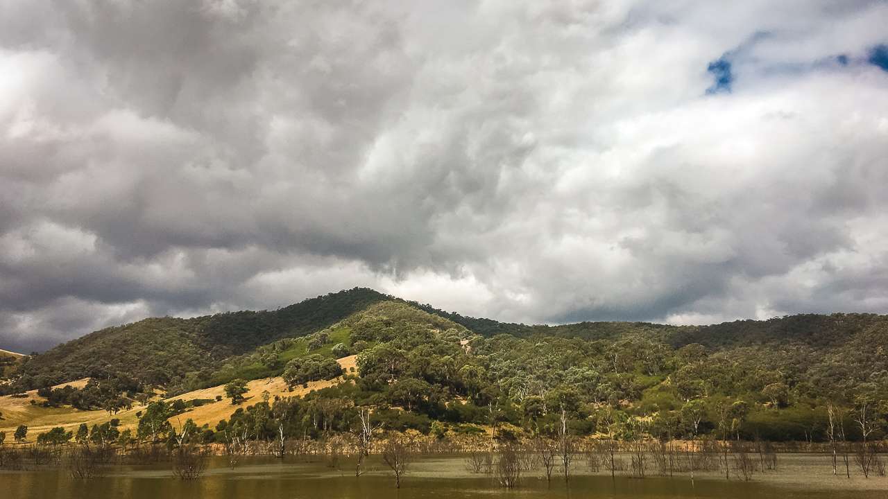
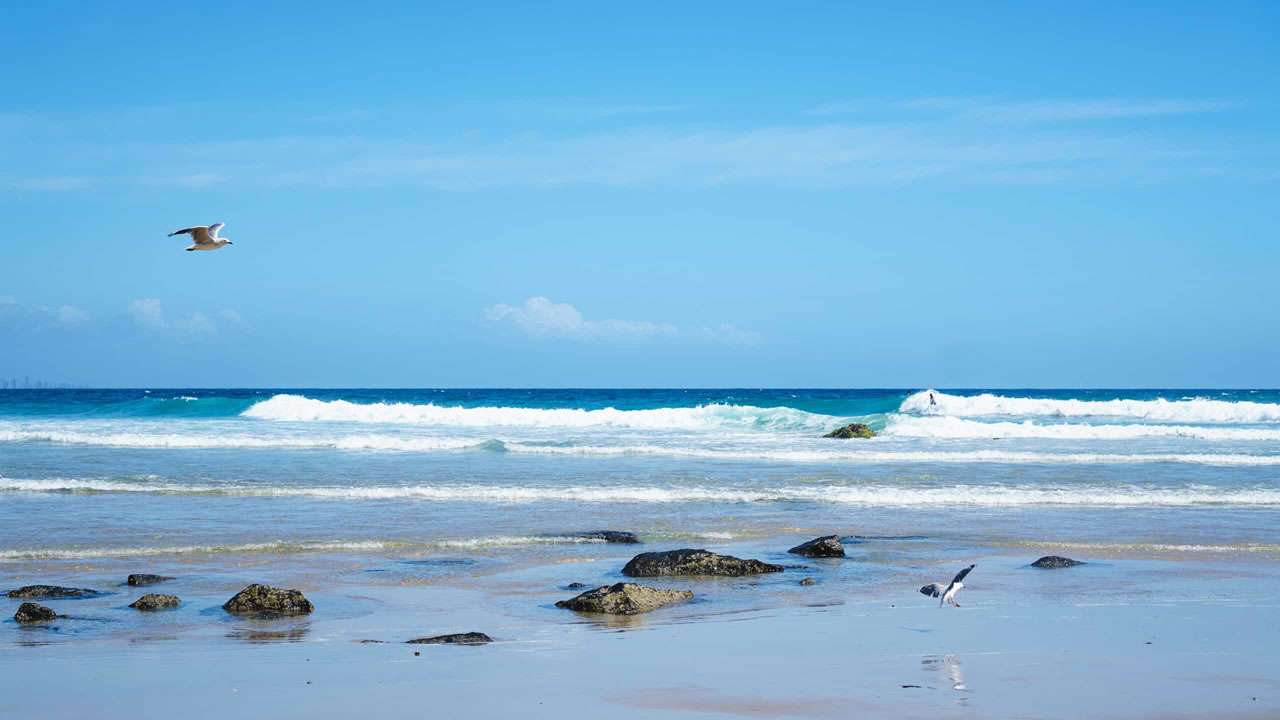
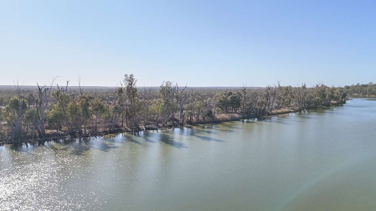
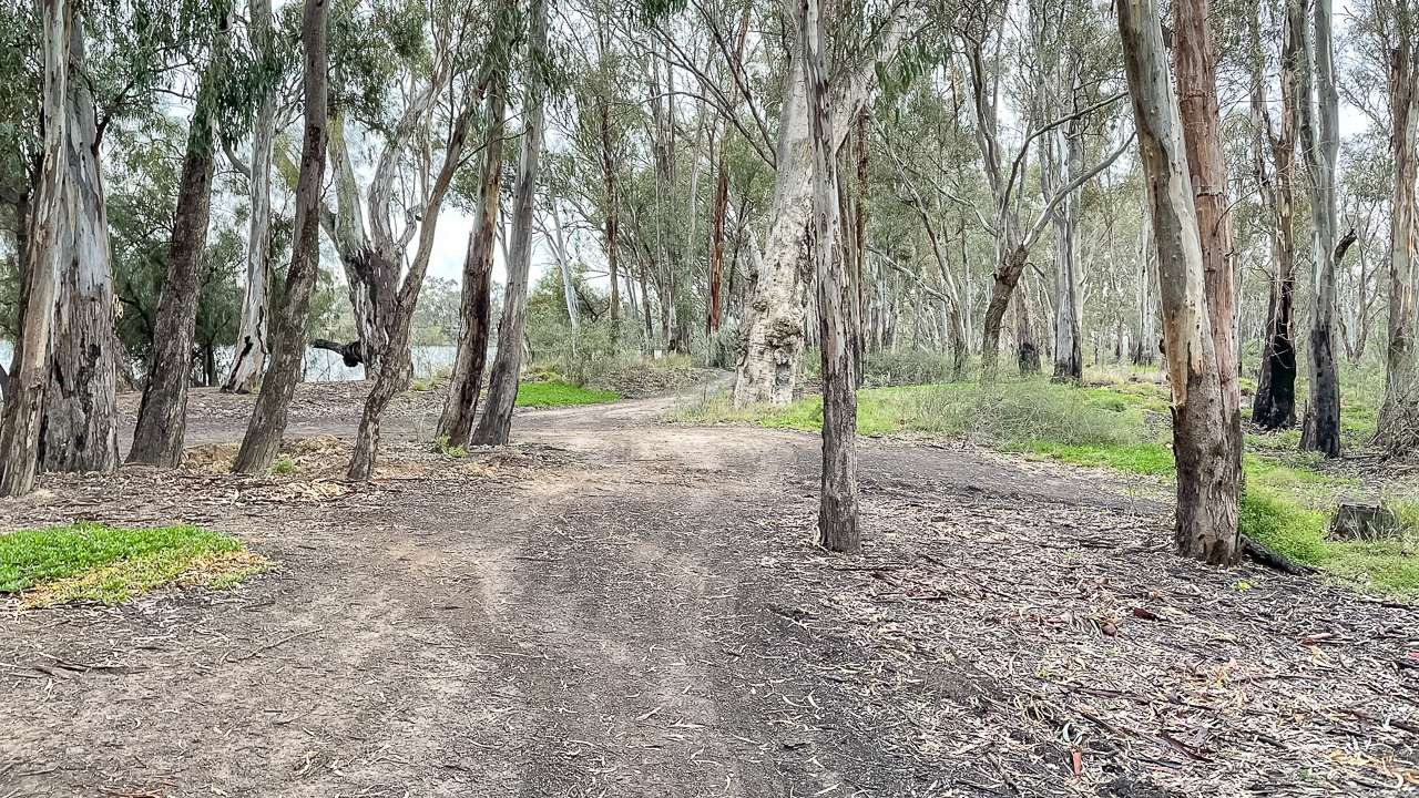
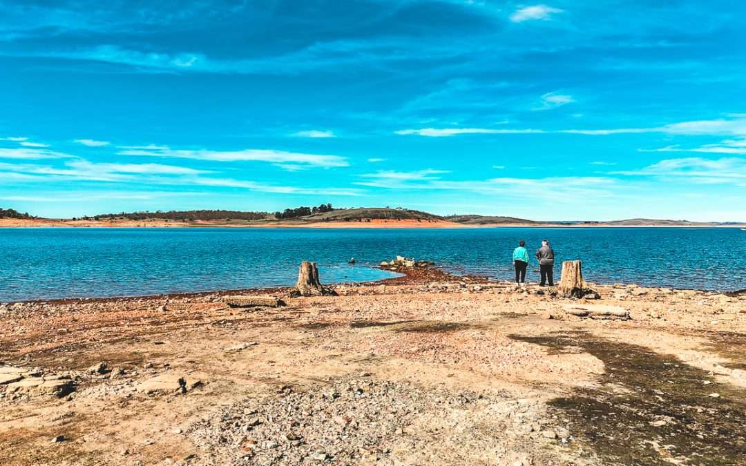
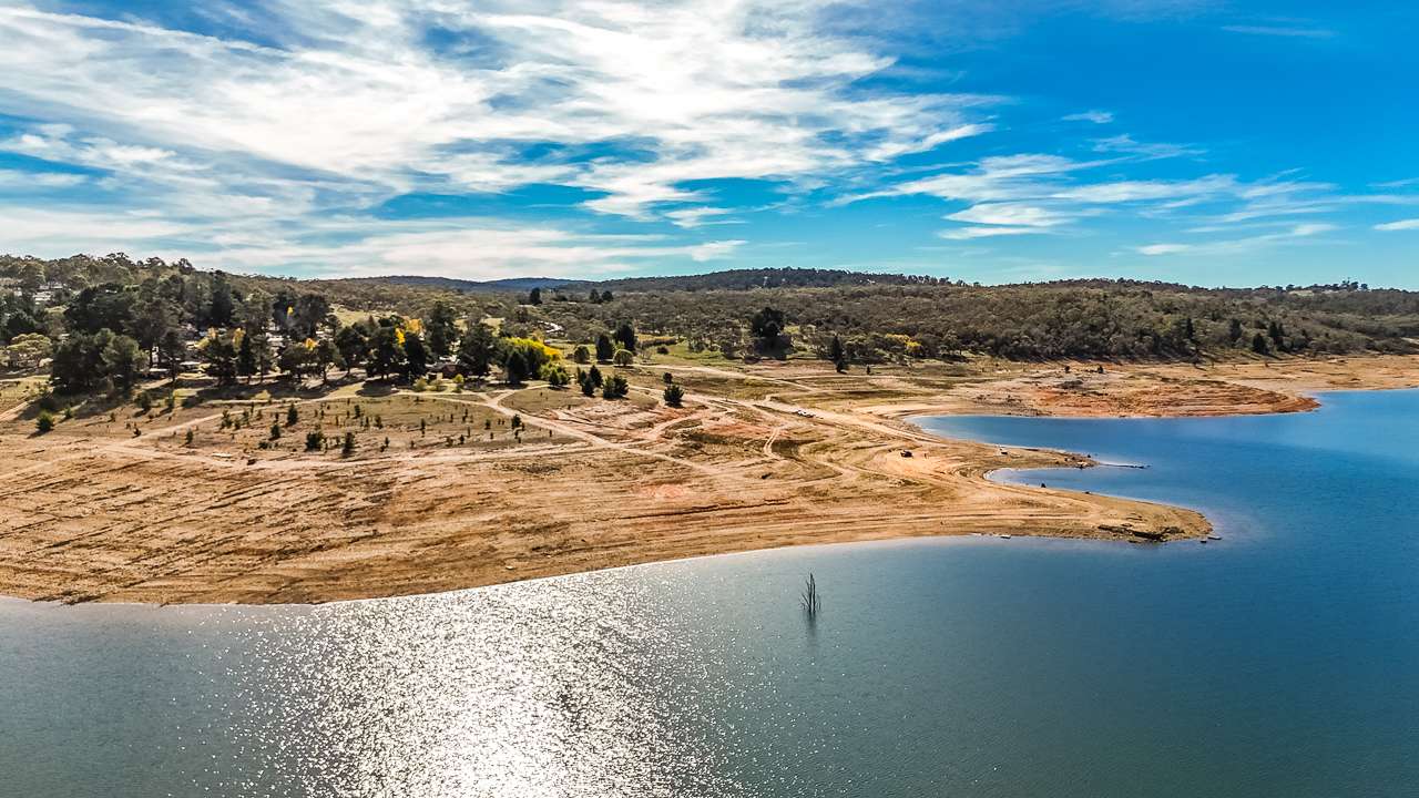
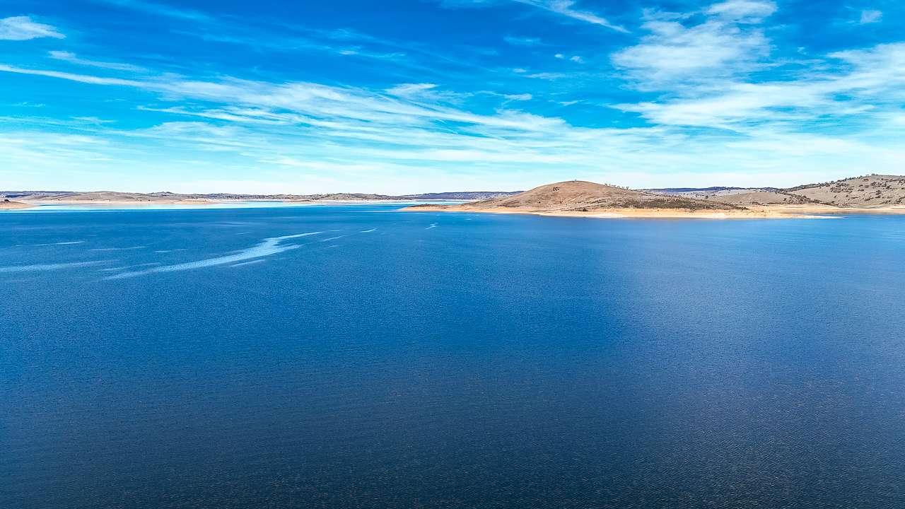
Free Camping On The Murray River
2. Tyntynder Central Reserve
This is a free campground. It is dog friendly. This campground is accessible to camper trailers, off road caravans and four wheel drives. Camping in tents is also allowed.
Type: Free Camping
Cost: Free
Location: Rural City of Swan Hill, Victoria
GPS: -35.256545°, 143.573292°
Pet Friendly: Yes
Distance To Swan Hill VIC: 9.4km
3. Loddon Floodway
This is a free campground. It is dog friendly. It is accessible to RVs, camper trailers and caravans. Camping in tents is allowed.
Type: Free Camping
Cost: Free
Location: Caelli Lane, Pental Island, Victoria
GPS: -35.377901°, 143.689672°
Pet Friendly: Yes
Distance To Swan Hill VIC: 12km
4. John’s Bend
Bush camp on the edge of the Murray River. If coming in from boat ramp take the right fork after boat ramp then 1st or 2nd track left. Left fork after boat ramp can be very rough.
Type: Free Camping
Cost: Free
Location: Caelli Lane, Victoria
GPS: -35.378046°, 143.692893°
Pet Friendly: Yes
Distance To Swan Hill VIC: 13km
5. Pental Island Bush Camping
This free campground offers swimming. It is dog friendly. It is accessible to RVs and caravans. You must be fully self-contained.
Type: Free Camping
Cost: Free
Location: Pental Island Rd, Pental Island, Victoria
GPS: -35.383700°, 143.692770°
Pet Friendly: Yes
Distance To Swan Hill VIC: 13km
6. Oak Bend
Reasonably flat river access ok for caravans access to river for fishing. Plenty of firewood. Loads of shade.
Type: Free Camping
Cost: Free
Location: Cealla lane, Victoria
GPS: -35.383334°, 143.697629°
Distance To Swan Hill VIC: 13KM
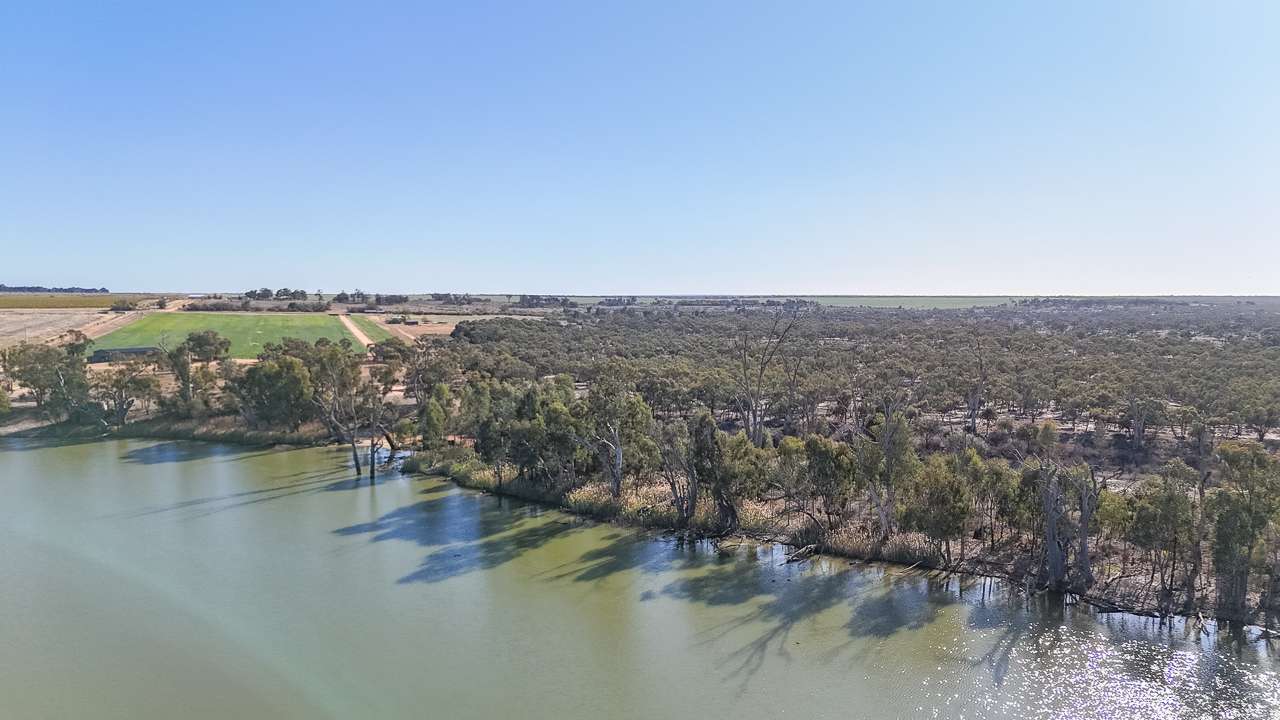
Free Camping Swan Hill On The Murray River
7. Caelli Lane Track Ext. Campsite
This free campground offers swimming. It is dog friendly. It is accessible to motorbikes, camper trailers and off road caravans. Camping in tents is allowed.
Go through Swan Hill and turn in at Pental Island at the Toyota dealer. Follow road and you’ll find a dirt track called Caelli Ln on your left. Turn in and then you will get to the river. Follow the dirt track to wherever you want to camp. Multiple camp sites. There are many spots but we strongly suggest you walk the track first as it is a dry weather road – just make sure you can get in and don’t go in if rain is likely.
Type: Free Camping
Cost: Free
Location: Rural City of Swan Hill, Victoria
GPS: -35.379700°, 143.701037°
Pet Friendly: Yes
Distance To Swan Hill VIC: 13km
8. Pental Island Camp Site 3
This is a free campground. It is dog friendly. It is accessible to RVs, camper trailers and caravans. Camping in tents is allowed.
Type: Free Camping
Cost: Free
Location: Pental Island, Victoria
GPS: -35.388086°, 143.706172°
Distance To Swan Hill VIC: 14km
9. Speewa Ferry Crossing Campsite
This free campground offers toilets and swimming. It is dog friendly. It is accessible to RVs, camper trailers and caravans. Camping in tents is allowed.
Type: Free Camping
Cost: Free
Location: Speewa punt rd, Victoria
GPS: -35.213915°, 143.508694°
Pet Friendly: Yes
Toilets: Yes
Distance To Swan Hill VIC: 15km
10. Pental Island Rd Campsite
This is a free campground. It is dog friendly. It is accessible to motorbikes, camper trailers and caravans. Camping in tents is allowed. You must be fully self-contained. If it starts to rain get out – it’s not a wet weather road.
Type: Free Camping
Cost: Free
Location: Pental Island Road, Victoria
GPS: -35.406349°, 143.703845°
Pet Friendly: Yes
Distance To Swan Hill VIC: 15km
11. Lake Boga Pub
Great spot for a stop over. Grassy area to park at the back of the pub. Dump point and water tap up the road at public toilets. Call before arriving due to limited area. Camping area closed Mondays but open every other day. Do the right thing and buy a meal and a few drinks in the pub, meals are great and the drinks are always cold!
Type: Pub Camping
Cost: Free but buy a meal in the pub
Location: 9 Marraboor St, Lake Boga, Victoria
GPS: -35.461175°, 143.630235°
Pet Friendly: Yes
Toilets: Yes
Drinking Water: Yes
Phone: (03) 5037 2140
Distance To Swan Hill VIC: 15km
12. Pental Island Little Murray River
This is a free campground. It is dog friendly. It is accessible to motorbikes, RVs, camper trailers and caravans. The area is larger in the front (possibly big enough area for 4 vans) alongside the river out the back would only be for tents or rooftop camping.
Type: Free Camping
Cost: Free
Location: Fish Point Road, Victoria
GPS: -35.435592°, 143.733210°
Pet Friendly: Yes
Distance To Swan Hill VIC: 19km
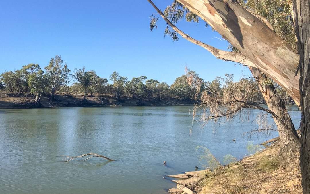
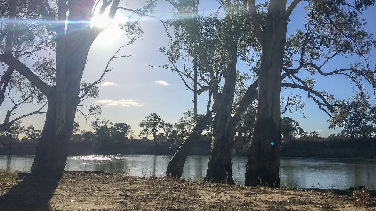
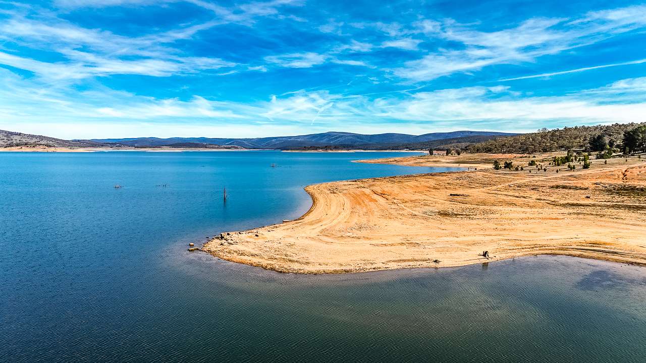
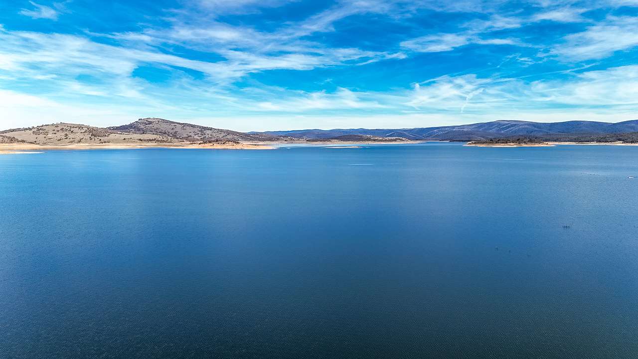
Murray River
13. Wood Wood Vinifera
Free bush camping along the Murray River in Nyah-Vinifera Park. Dry weather access only. Entry via a rutted unsealed road. Access via Forest Rd. There are no facilities. Campers must self-sufficient. Take all rubbish with you and leave no trace. There are no toilet facilities at this site. Dogs are not allowed.
Type: State Forest Camping
Cost: Free
Location: Murray Hwy, Nyah, Victoria
GPS: -35.195008°, 143.417499°
Pet Friendly: No
Phone: 13 19 63
Website: https://parkweb.vic.gov.au/explore/parks/nyah-vinifera-park
Distance To Swan Hill VIC: 21km
14. Jibbjen
This free campground offers swimming. It is dog friendly. It is accessible to off road caravans. Access via Forest Rd or River Rd.
Type: State Forest Camping
Cost: Free
Location: Vinifera, New South Wales / ACT
GPS: -35.194264°, 143.410125°
Pet Friendly: Yes
Distance To Swan Hill VIC: 21km
15. Nayah-Vinifera Park #3
This is a free campground. It is dog friendly. It is accessible to camper trailers, off road caravans and four wheel drives. Camping in tents is allowed. Access via Forest Rd or River Rd.
Type: State Forest Camping
Cost: Free
Location: LOT 68S Murray Valley Hwy, Vinifera, Victoria
GPS: -35.193902°, 143.404813°
Pet Friendly: Yes
Drinking Water:
Phone: 13 19 63
Website: http://parkweb.vic.gov.au/explore/parks/nyah-vinifera-park
Distance To Swan Hill VIC: 22km
16. Vinifera Camping Area (Nyah-Vinifera Park)
Free bush camping along the Murray River in Nyah-Vinifera Park. There are no facilities. Campers must self-sufficient. Take all rubbish with you and leave no trace. There are no toilet facilities at this site. Dogs are allowed but must be on a leash.
Type: Free Camping
Cost: Free
Location: 299 River Road, Nyah, Victoria
GPS: -35.186476°, 143.388789°
Pet Friendly: Yes
Phone: 13 1963
Website: https://www.parks.vic.gov.au/places-to-see/sites/nyah-vinifera-park—vinifera-camping-area
Distance To Swan Hill VIC: 23km
17. Murray On Pental
This free campground offers swimming. It is dog friendly. It is accessible to motorbikes, RVs, camper trailers and caravans. Camping in tents is allowed.
Type: Free Camping
Cost: Free
Location: Brooke Lane, Pental Island, Victoria
GPS: -35.433347°, 143.799574°
Pet Friendly: Yes
Distance To Swan Hill VIC: 24km
18. Little Murray
This is a free campground. It is dog friendly. It is accessible to camper trailers and four wheel drives.
Type: Free Camping
Cost: Free
Location: 367 Little Murray Rd, Benjeroop, Victoria
GPS: -35.453098°, 143.800111°
Pet Friendly: Yes
Distance To Swan Hill VIC: 25km
19. Nyah State Forest Murray River Reserve
This is a free campground. It is dog friendly. It is accessible to RVs, camper trailers and caravans. Camping in tents is not permitted.
Type: State Forest Camping
Cost: Free
Location: Murray River, Nyah, Victoria
GPS: -35.163067°, 143.386035°
Pet Friendly: Yes
Distance To Swan Hill VIC: 25km
20. AnZ Campsite
On the River Bank with plenty of sun. Self contained only. Caution when wet.
Type: State Forest Camping
Cost: Free
Location: River Track, Nyah, Victoria
GPS: -35.162638°, 143.384704°
Pet Friendly: Yes
Distance To Swan Hill VIC: 25km
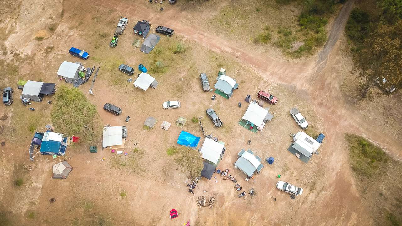
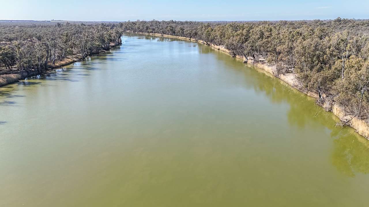
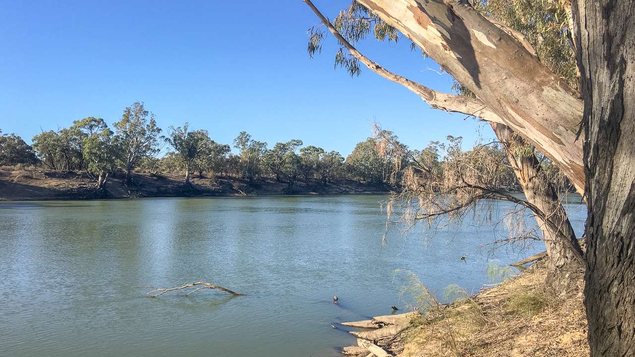
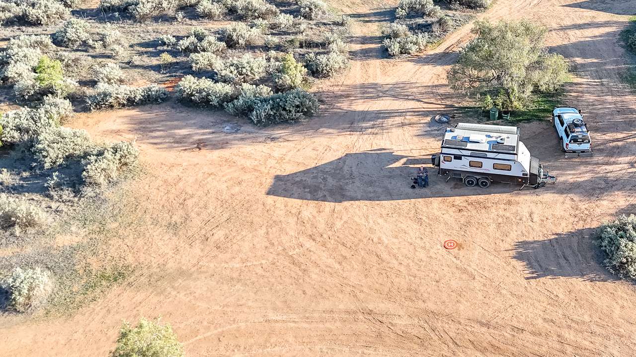
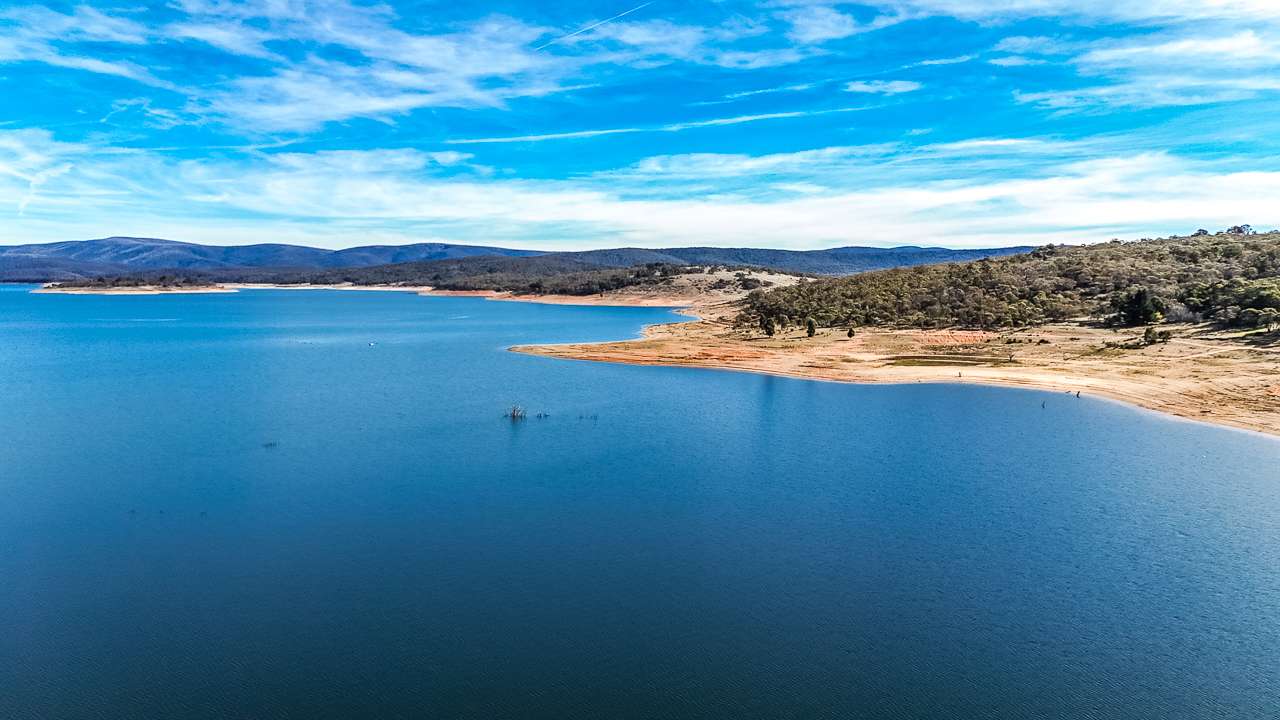
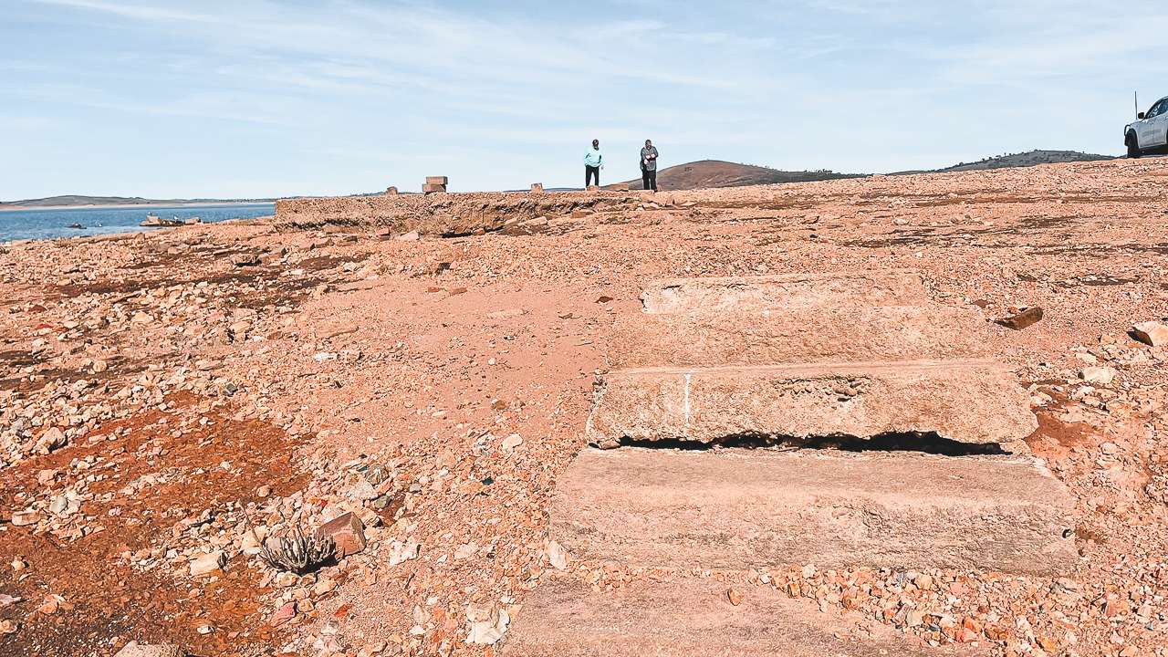
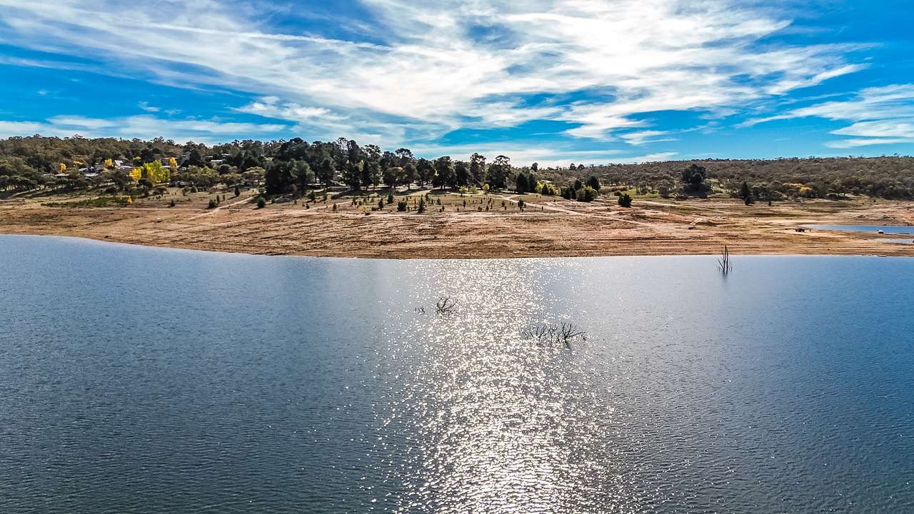
Murray River From The Air
21. River Bend
Large area with river sweeping around a bend to form a peninsula. Big enough for large off road vans with multiple areas to park. The track in is bumpy but not too bad. Lots of shade with places to access the river with kayaks and canoes. Plenty of spots to drop a line in.
Type: Free Camping
Cost: Free
Location: River Track, Nyah, Victoria
GPS: -35.162154°, 143.387293°
Pet Friendly: Yes
Distance To Swan Hill VIC: 25km
22. Deb’s Camp
Free camp on the banks of the Murray River. It is dog friendly. It is accessible to RVs, camper trailers and caravans.
Type: Free Camping
Cost: Free
Location: River Track, Nyah, Victoria
GPS: -35.161901°, 143.382338°
Pet Friendly: Yes
Distance To Swan Hill VIC: 26km
23. Devils Elbow Bend
This is a free campground. It is dog friendly. It is accessible to RVs, camper trailers and caravans. Camping in tents is allowed.
Type: Free Camping
Cost: Free
Location: Unnamed Rd, Nyah, Victoria
GPS: -35.159490°, 143.386768°
Pet Friendly: Yes
Toilets:
Showers:
Drinking Water:
Phone:
Website:
Email:
Distance To Swan Hill VIC: 26km
24. Full Sun Riverside Camp
This camping area on the Murray River just 26km NW of Swan Hill is great. There’s plenty of sun at this camp site so it’s good for getting some amps into your solar panels. This is a free campground. It is dog friendly. It is accessible to RVs, camper trailers and caravans. You must be fully self contained.
Type: State Forest Camping
Cost: Free
Location: Off Byrnes Lane, Unnamed Road, Nyah, Victoria
GPS: -35.156725°, 143.382120°
Pet Friendly: Yes
Distance To Swan Hill VIC: 26km
25. Nyah Camp
This is a free campground. It is dog friendly. It is accessible to RVs, camper trailers and caravans. You must be fully self contained.
Type: Free Camping
Cost: Free
Location: Parnee Malloo Walk, Nyah, Victoria
GPS: -35.153518°, 143.383865°
Pet Friendly: Yes
Distance To Swan Hill VIC: 26km
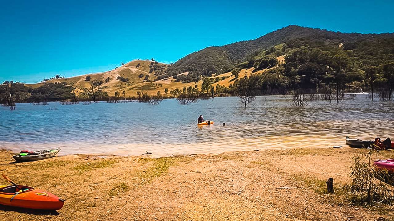
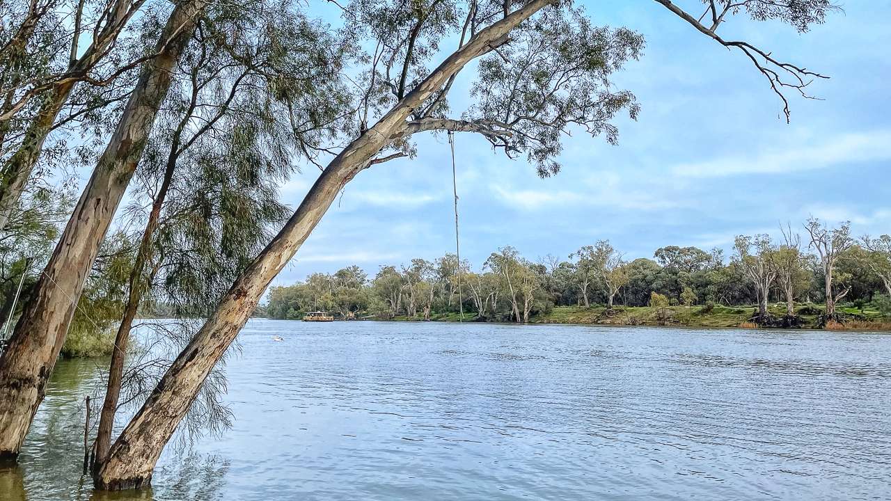
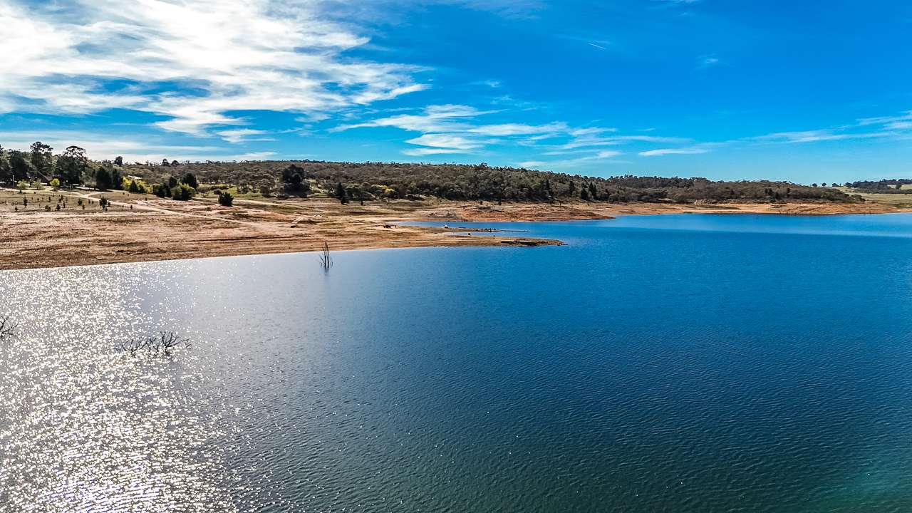
Nice Campsite On The Murray
Swan Hill’s Rich History
Swan Hill’s story begins long before European settlement, with the area being home to the Wemba-Wemba (or Wamba-Wamba), Latji Latji, Tatti Tatti, Waddi Waddi and Barapa Barapa people for approximately 9,000-13,000 years[1]. The traditional owners called the area “Matakupaat,” meaning “place of the Platypus.”
The European history of Swan Hill dates back to 21 June 1836, when explorer Thomas Mitchell camped beside a hill and named the area after observing the abundance of swans in a shallow lagoon. Mitchell noted: “Among the reeds on the point of ground between the two rivers was a shallow lagoon where swans and other wild fowl so abounded that, although half a mile from our camp, their noise disturbed us through the night”[1].
The European community developed around a punt river crossing established around 1846, which served as the only river crossing for 100 kilometres. The Post Office opened on February 1, 1849, marking the establishment of more permanent settlement[1].
A significant milestone came in 1853 when Francis Cadell navigated the Murray River from South Australia to Swan Hill in his paddle steamer, Lady Augusta, demonstrating the feasibility of river traffic[1]. This river transport system flourished until the introduction of railways, with the railway from Bendigo being extended to Swan Hill in May 1890[1].
Infrastructure developments continued with the construction of the first of several red brick water towers in 1883 to supply water to the growing town. In 1896, the punt river crossing was replaced by a timber truss, steel lift span bridge, which is now listed on the Victorian Heritage Register[1][3].
An important agricultural milestone occurred in 1914 when Isaburo (Jo) Takasuka produced the first commercial rice crop in Australia, growing Japanese varieties on flood prone land near Swan Hill[1]. The town’s status was elevated when it became a city in 1965 and now forms part of the Rural City of Swan Hill, created in 1995 through amalgamation with the former Shire of Swan Hill and the Tresco district of the Shire of Kerang[2].
Swan Hill Free Camping: A Growing Trend
The Swan Hill region has become increasingly popular for free camping enthusiasts seeking to explore Victoria’s Murray River country without the constraints of commercial caravan parks. Free camping, also known as freedom camping or bush camping, allows travellers to experience the authentic Australian outback, connect with nature and enjoy the peaceful surroundings of the Murray River landscape.
The appeal of Swan Hill free camping lies in the opportunity to set up beside the iconic Murray River, wake to the sounds of native birds and witness stunning sunrises and sunsets over the water. While the town itself offers various amenities and services, the surrounding areas provide numerous spots where self sufficient campers can enjoy the natural environment.
Travel Times To Swan Hill
For travellers planning a Swan Hill free camping adventure, knowing the distance and driving times from major cities and regional centres is essential for effective trip planning. The following table provides approximate travel times to Swan Hill from key Australian locations:
| Starting Point | Distance (km) | Driving Time |
|---|---|---|
| Melbourne, VIC | 335 km | 3 hours, 46 minutes[4] |
| Sydney, NSW | 750 km | Approximately 8 hours |
| Adelaide, SA | 430 km | Approximately 5 hours |
| Brisbane, QLD | 1,500 km | Approximately 15 hours |
| Canberra, ACT | 639 km | 7 hours, 28 minutes[6] |
| Bendigo, VIC | 188 km | 2 hours, 6 minutes[7] |
| Mildura, VIC | 220 km | Approximately 2 hours, 30 minutes |
| Echuca, VIC | 130 km | Approximately 1 hour, 30 minutes |
| Albury, NSW | 350 km | Approximately 4 hours |
These driving times are based on typical traffic conditions and direct routes. It’s advisable to allow extra time for rest stops, fuel breaks and to account for varying road conditions, especially when towing a caravan.
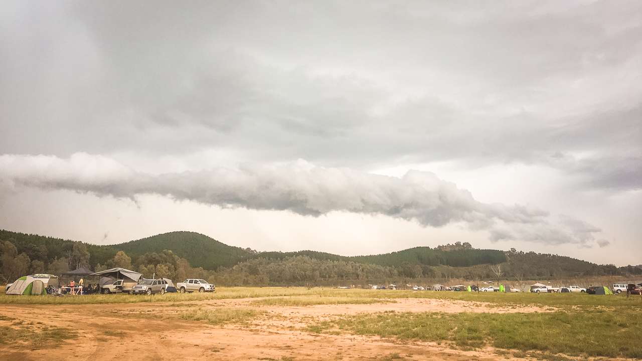
Swan Hill Camping
Swan Hill Camping: Seasonal Considerations
The Swan Hill region offers diverse camping experiences for all types of outdoor enthusiasts. From well equipped caravan parks to secluded free camping spots along the Murray River, the area caters to different preferences and camping styles. The region’s Mediterranean climate, characterised by hot, dry summers and mild winters, makes it suitable for camping year round, though each season offers a different experience.
Summer (December to February) brings warm to hot weather, perfect for water activities but requiring adequate sun protection and hydration. Autumn (March to May) offers milder temperatures and is often considered ideal for camping, with fewer tourists and comfortable conditions for outdoor activities. Winter (June to August) can be cool to cold, especially at night, but days are often clear and sunny, making it suitable for those prepared with appropriate gear. Spring (September to November) brings blooming wildflowers and increasing temperatures, offering pleasant conditions before the summer heat arrives.
When preparing for Swan Hill camping, essential items include appropriate sleeping gear for the season, adequate water supplies, sun protection, insect repellent and basic first aid supplies. Given the region’s distance from major urban centres, it’s also advisable to bring sufficient food, cooking equipment and any specialised medications or supplies needed during your stay.
10 Things to Do Near Swan Hill
The Swan Hill region offers a wealth of activities and attractions for visitors to enjoy during their free camping adventure. Here are ten outstanding options to enhance your Swan Hill experience:
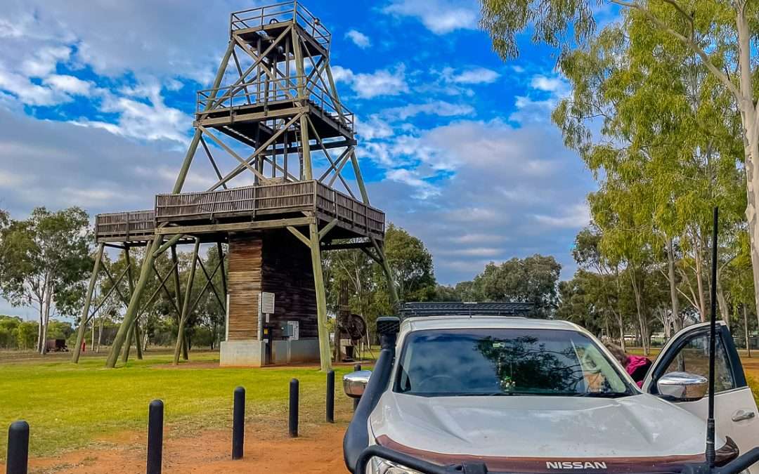
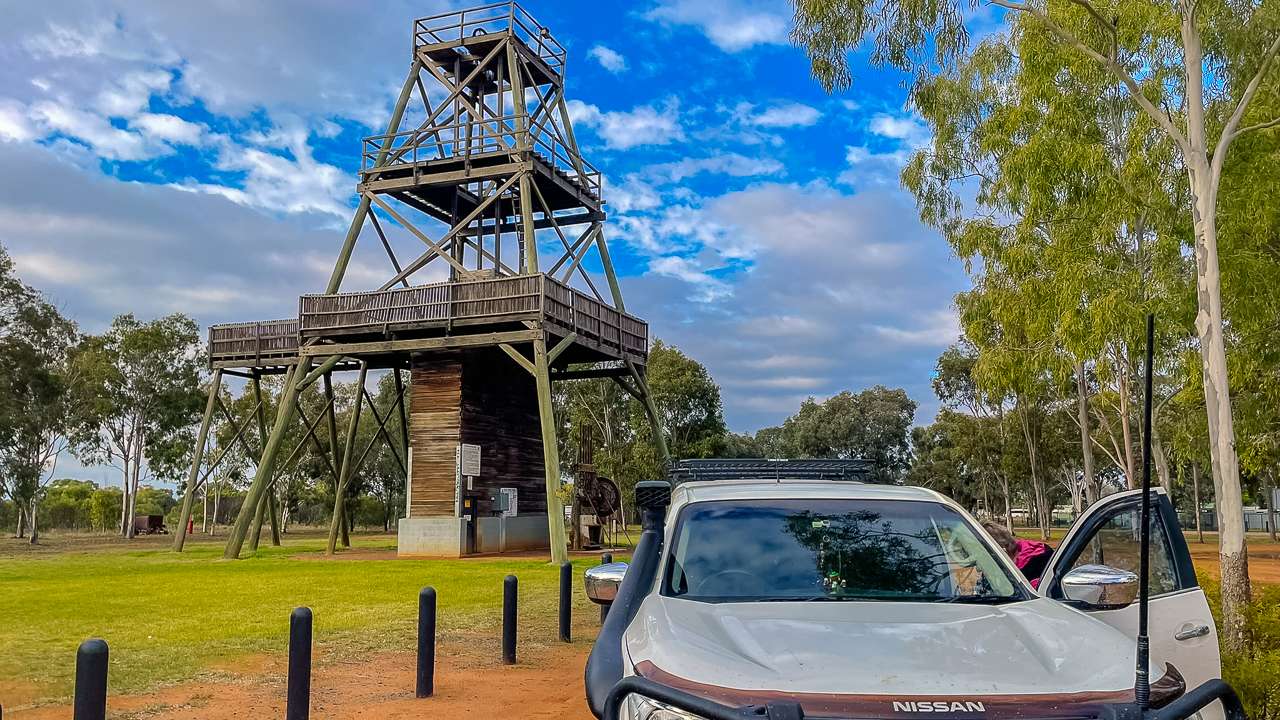
- Pioneer Settlement – Step back in time at this open air museum that recreates an Australian pioneer township from the 1830s to the 1930s. The settlement offers interactive historical exhibits, vintage car and horse cart rides and a scenic paddle steamer cruise. The evening Heartbeat of the Murray laser and water show provides a dynamic retelling of the Murray River’s history[5].
- Swan Hill Regional Art Gallery – Art enthusiasts will appreciate this gallery’s collection of Australian art, including significant works focused on the Murray River region. The gallery regularly hosts changing exhibitions of contemporary and Indigenous art, providing cultural enrichment during your camping trip[5].
- Giant Murray Cod – Visit this iconic local landmark, a large fish sculpture that pays homage to one of the Murray River’s most famous native species. The oversized cod makes for a perfect photo opportunity and represents the region’s connection to fishing and river life[5].
- PS Gem Paddle Steamer – Explore this heritage listed paddle steamer located at the Pioneer Settlement. Built in 1876, the PS Gem offers visitors a glimpse into the river transport system that was vital to the development of communities along the Murray River before railways[3][5].
- Andrew Peace Wines – Take a break from camping to visit this local winery for tastings and tours. Located in nearby Piangil, the winery offers an opportunity to sample regional wines and learn about viticulture in the Murray Valley region[5].
- Lake Boga Flying Boat Museum – Visit this fascinating museum housed in the original Catalina flying boat repair depot from World War II. Listed on the Victorian Heritage Register, the museum showcases the No. 1 Flying Boat Repair Depot’s role during the war and features a restored Catalina flying boat[3].
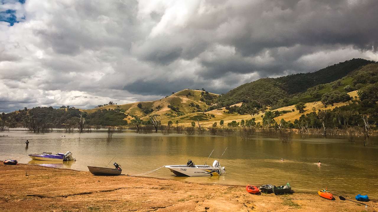
- Murray River Exploration – The lifeblood of the region, the Murray River offers numerous recreational activities including fishing, boating, kayaking and swimming. Fishing enthusiasts can try their luck catching Murray cod, golden perch and redfin, while boating provides a different perspective of the river landscape.
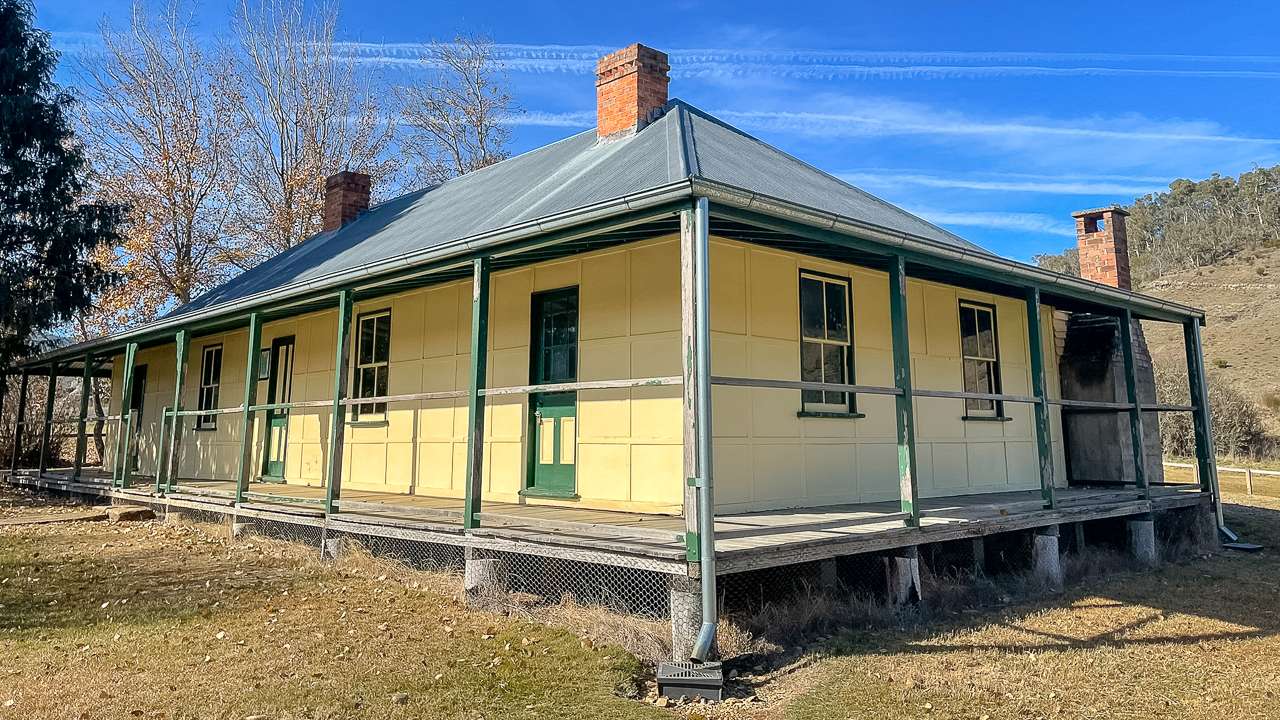
- Tyntyndyer (Tyntynder) Homestead – Explore one of the oldest homesteads in the region, dating back to 1846. This heritage listed property offers insights into early European settlement and includes original buildings, period furnishings and a collection of Aboriginal artifacts[3].
- Swan Hill Region Information Centre – More than just an information point, the centre offers interactive displays about the region’s history, ecology and attractions. Staff can provide detailed advice about local free camping options and current river conditions[5].
- Day Trip to Manangatang – Take a drive to this nearby town to visit its heritage listed railway station built in 1916. The journey takes you through typical Mallee country landscapes and provides an opportunity to experience the agricultural heartland of Victoria[3].
Free Camping Swan Hill: What to Expect
Free camping around Swan Hill offers budget conscious travellers and those seeking a more authentic outdoor experience an alternative to commercial accommodation. The region’s connection to the Murray River creates numerous opportunities for scenic camping spots where visitors can immerse themselves in nature.
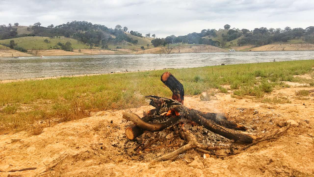
When engaging in free camping in the Swan Hill area, it’s important to understand that facilities are typically minimal compared to paid camping grounds. Most free camping areas provide basic amenities such as fire pits (subject to fire restrictions), while some may offer limited toilet facilities. Potable water is rarely available, so campers should bring adequate supplies for their entire stay.
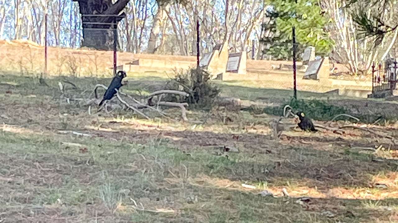
Free camping in the region often places you closer to native wildlife and natural environments. Campers might spot kangaroos, emus and numerous bird species, particularly near water sources. The Murray River corridor is especially rich in birdlife, making it a paradise for birdwatchers and nature photographers.
Swan Hill Free Camping: Responsible Practices
Responsible camping practices are essential when enjoying Swan Hill free camping areas. The “leave no trace” principle should guide all camping activities, ensuring that future visitors can enjoy these natural spaces. This means packing out all rubbish, minimising impact on vegetation and respecting wildlife by observing from a distance and never feeding native animals.
Local regulations regarding free camping vary across the Swan Hill region, with some areas requiring permits or having time limitations. It’s advisable to check with the Swan Hill Rural City Council or the local visitor information centre before setting up camp to ensure compliance with current rules. Fire restrictions are particularly important to monitor, as they change seasonally and can impact whether campfires are permitted.
Water conservation is another crucial consideration when free camping in the region. The Murray Darling Basin, which includes the Swan Hill area, frequently experiences drought conditions, making water a precious resource. Campers should practice water saving techniques such as using biodegradable soaps, minimising water usage for washing and never disposing of wastewater directly into natural water bodies.
Swan Hill Camping: Safety Considerations
Safety considerations specific to Swan Hill camping include awareness of the river environment, changing weather conditions and local wildlife. The Murray River, while beautiful, can present hazards including strong currents, submerged objects and steep, unstable banks. Swimmers should always exercise caution, particularly in unfamiliar stretches of the river and children should be supervised at all times near water.
Weather in the region can change rapidly, with summer storms bringing lightning, strong winds and occasionally flash flooding. Winter nights can drop to near freezing temperatures despite mild daytime conditions. Campers should check weather forecasts regularly and be prepared with appropriate gear for changing conditions.
Wildlife safety is another important aspect of camping in the Swan Hill region. While dangerous encounters are rare, campers should be aware of potential hazards including snakes (particularly in warmer months) and spiders. Basic precautions include checking shoes before putting them on, keeping tent zippers closed and being cautious when gathering firewood or moving rocks and logs.
Murray River camping also puts visitors in close proximity to mosquitoes, particularly in the warmer months and near water. These can be both a nuisance and a potential health concern, with some mosquito species capable of transmitting diseases. Appropriate insect repellent, protective clothing (especially at dawn and dusk) and mosquito nets or screens are recommended.
Free Camping Swan Hill: Best Seasons to Visit
The best seasons for free camping around Swan Hill largely depend on personal preferences and the type of experience you’re seeking. Each season offers distinct advantages and challenges:
- Summer (December to February) provides warm to hot days ideal for water activities, though temperatures can sometimes exceed 40°C. Summer camping requires good shade, adequate cooling and awareness of total fire ban days that may restrict cooking options. The longer daylight hours allow for extended exploration and evening activities.
- Autumn (March to May) is considered by many to be the ideal time for Swan Hill free camping. Temperatures are moderate, tourist numbers decrease after the summer peak and the river is often still warm enough for swimming. The autumn colours along the river add visual appeal and flying insects typically become less problematic.
- Winter (June to August) offers a different camping experience with cool to cold nights but generally clear, sunny days. Winter campers should be prepared with appropriate cold weather gear, particularly for overnight temperatures that can approach freezing. The advantage of winter camping includes fewer crowds, absence of many insects and the cosy atmosphere of a campfire (where permitted).
- Spring (September to November) brings warming temperatures, blooming wildflowers and increased bird activity as native species begin breeding seasons. Spring can bring occasional rainfall and variable conditions, so flexible planning is advisable. This season offers a good balance of comfortable temperatures and natural beauty before the summer heat arrives.
Preparing For Your Swan Hill Free Camping Adventure
Successful free camping in the Swan Hill region requires thoughtful preparation and appropriate equipment. The remote nature of many camping spots means services and supplies may be limited or unavailable, necessitating self sufficiency.
Essential equipment for Swan Hill camping includes:
- A reliable tent or caravan suitable for the season
- Sleeping bags rated appropriately for expected temperatures
- Sufficient water storage (recommend at least 5 litres per person per day)
- Food storage that’s secure from wildlife
- First aid kit with snake bite bandages
- Navigation tools (maps, GPS, compass)
- Communication devices (mobile phone with power bank and potentially a satellite phone for very remote areas)
- Cooking equipment suitable for use during fire restriction periods
- Waste management supplies including rubbish bags
- Toilet supplies if camping in areas without facilities
Provisioning before arrival is important, as shopping options may be limited in smaller towns. Swan Hill itself offers supermarkets, specialty food stores and camping supplies, making it an ideal place to stock up before heading to more remote camping areas.
Swan Hill Free Camping: Environmental Considerations
The Murray River ecosystem around Swan Hill is both resilient and fragile, requiring conscientious camping practices to preserve its health. The river system contains a wide ranging array off different plant and animals that have evolved to thrive in this unique environment.
Water conservation remains a critical concern throughout the Murray Darling Basin. Free campers should minimise water usage and avoid introducing soaps, detergents, or other contaminants into natural water bodies. Even biodegradable products can disturb aquatic ecosystems, so washing activities should occur at least 50 metres from any water source.
Vegetation around camping areas provides crucial habitat for wildlife and prevents soil erosion along riverbanks. Campers should use established paths, avoid creating new tracks and never remove living vegetation for firewood or other purposes. When collecting fallen wood for campfires (where permitted), gather from wide areas rather than depleting a single location.
The Murray River’s banks are particularly vulnerable to erosion, a process exacerbated by inappropriate camping practices. Setting up camp at least 20 metres from the water’s edge helps protect these sensitive areas. Similarly, vehicles should remain on established tracks rather than creating new access points to the river.
Swan Hill Free Camping
Swan Hill Camping: Cultural Significance
The Swan Hill area holds significant cultural importance for both Indigenous Australians and those descended from European settlers. For free campers interested in deeper connections with the region, understanding this cultural heritage enhances the experience.
The traditional owners of the Swan Hill region maintained a complex relationship with the land and river systems for thousands of years before European contact. Their knowledge of seasonal cycles, food sources and sustainable resource management allowed them to thrive in an environment that European settlers initially found challenging.
Evidence of this long occupation can be seen in shell middens, scar trees (where bark was removed for canoes and other purposes) and stone artifacts throughout the region. Free campers should be aware that disturbing or removing any Aboriginal artifacts is prohibited by law and culturally inappropriate.
European settlement brought dramatic changes to the landscape and traditional ways of life. The establishment of pastoral properties, irrigation systems and river transportation networks transformed the environment. Historic buildings, engineering works and agricultural patterns visible today tell the story of this transformation and adaptation.
Free Camping Swan Hill: Local Facilities And Support
While free camping emphasises self sufficiency, various facilities in and around Swan Hill support campers’ needs. Understanding what’s available aids you in your planning and helps reduce the chance of overpacking.
Swan Hill’s town centre offers comprehensive services including supermarkets, bakeries, butchers and specialty food shops for provisioning. Several outdoor and camping supply stores provide equipment, spare parts and emergency replacements for damaged gear.
For those requiring vehicle services, Swan Hill has mechanics, auto electricians and tyre services capable of handling most caravan and camping vehicle requirements. Fuel is readily available, though prices tend to be higher than in metropolitan areas.
Public facilities useful to free campers include:
- Water filling stations in main towns (though these may have restrictions during drought periods)
- Public toilets in parks and recreation areas
- Dump points for caravan waste in designated locations
- Laundromats for longer term travellers
- Libraries with internet access and charging facilities
- Medical services including a hospital, medical clinics, pharmacies and dental services
Conclusion To Swan Hill Camping
Swan Hill free camping offers a unique way to experience one of Victoria’s most historically significant river regions. With proper preparation, respect for the environment and understanding of local regulations, free camping provides an economical and rewarding alternative to commercial accommodation.
The combination of natural beauty, cultural heritage and diverse recreational opportunities makes Swan Hill an ideal destination for camping enthusiasts of all experience levels. Whether you’re seeking a peaceful riverside retreat, an exploration of Australia’s pioneer history, or an active outdoor adventure, the Swan Hill region delivers memorable experiences against the backdrop of the mighty Murray River.
By embracing responsible camping practices, visitors contribute to the preservation of this special environment for future generations while creating their own connections to one of Australia’s iconic river landscapes. Swan Hill camping, particularly free camping opportunities, continues to attract those seeking authentic experiences in Victoria’s beautiful Murray River region.
Swan Hill Camping On The Murray River
Citations:
[2] https://en.wikipedia.org/wiki/Shire_of_Swan_Hill
[3] https://en.wikipedia.org/wiki/List_of_places_on_the_Victorian_Heritage_Register_in_the_Rural_City_of_Swan_Hill
[4] https://www.travelmath.com/driving-time/from/Melbourne,+Australia/to/Swan+Hill,+Australia
[5] https://www.tripadvisor.com.au/Attractions-g255361-Activities-Swan_Hill_Victoria.html
[6] https://www.rome2rio.com/s/Canberra/Swan-Hill
[7] https://www.trippy.com/distance/Swan-Hill-to-Bendigo
[8] https://www.trippy.com/distance/Swan-Hill-to-Echuca
[9] https://www.rome2rio.com/s/Swan-Hill/Deniliquin
[10] https://www.rome2rio.com/s/Ouyen/Swan-Hill
[11] https://www.trippy.com/distance/Mildura-to-Swan-Hill
[12] https://www.pioneersettlement.com.au/about/history/
[13] https://www.visitthemurray.com.au/places-to-go/west/swanhill/stay/getting-here
[14] https://traveltriangle.com/blog/things-to-do-in-swan-hill/
[15] https://www.rome2rio.com/s/Swan-Hill/Ouyen
[16] https://www.victorianplaces.com.au/swan-hill
[17] https://www.choicehotels.com/victoria/swan-hill/things-to-do-in-swan-hill
[18] https://au.drivebestway.com/distance/swan-hill-vic-au/ouyen/
[19] https://www.britannica.com/place/Swan-Hill
[20] https://www.visitswanhill.com.au/explore/history-heritage/
[21] https://www.australiangeographic.com.au/travel/2023/09/a-complete-guide-to-swan-hill-vic/
[22] https://www.pioneersettlement.com.au/about/history/pioneer-settlement-history/
[23] https://www.visitmelbourne.com/regions/the-murray/destinations/swan-hill
[24] https://www.swanhill.vic.gov.au/Community/Aboriginal-culture-and-heritage
[25] https://www.swanhill.vic.gov.au/Explore-our-region/Pioneer-Settlement
[26] https://www.pioneersettlement.com.au
[27] https://jajoowarrngara.org/community/wamba-wamba/
[28] https://en.wikipedia.org/wiki/City_of_Swan_Hill
[29] https://www.visitswanhill.com.au/?be_businessgroup=bookeasy_businessgroup_37232
[30] https://www.pioneersettlement.com.au/about/history/aboriginal-history/
[31] https://www.aussietowns.com.au/town/swan-hill-vic
[32] https://www.visitmelbourne.com/regions/the-murray/see-and-do/art-and-culture/history-and-heritage/pioneer-settlement
[33] https://www.trippy.com/distance/Swan-Hill-to-Canberra
[34] https://wanderlog.com/drive/between/82575/83015/melbourne-to-swan-hill-drive
[35] https://fromto.travel/en/l/australia/swan-hill-victoria/sydney-new-south-wales
[36] https://www.travelmath.com/driving-time/from/Swan+Hill,+Australia/to/Adelaide,+Australia
[37] https://www.trippy.com/drive/Brisbane-to-Swan-Hill
[38] https://www.trippy.com/drive/Canberra-to-Swan-Hill
[39] https://www.rome2rio.com/s/City-of-Melbourne/Swan-Hill
[40] https://www.trippy.com/drive/Sydney-to-Swan-Hill
[41] https://fromto.travel/en/l/australia/swan-hill-victoria/adelaide-south-australia
[42] https://www.rome2rio.com/s/Brisbane/Swan-Hill
[43] https://www.rome2rio.com/s/Canberra/Swan-Hill
[44] https://www.travelmath.com/drive-distance/from/Melbourne,+Australia/to/Swan+Hill,+Australia
[45] https://www.visitswanhill.com.au
[46] https://au.trip.com/travel-guide/attraction/swan-hill-16567/tourist-attractions/
[47] https://www.big4riversideswanhill.com.au/local-attractions
[48] https://www.visitvictoria.com/regions/the-murray/see-and-do/family
[49] https://www.travelvictoria.com.au/swanhill/attractions/
[50] https://www.swanhill.vic.gov.au/Explore-our-region
[51] https://au.drivebestway.com/distance/ouyen/swan-hill-vic-au/
[52] https://www.travelmath.com/distance/from/Swan+Hill,+Australia/to/Canberra,+Australia
[53] https://www.trippy.com/distance/Bendigo-to-Swan-Hill
[54] https://www.trippy.com/drive/Echuca-to-Swan-Hill
[55] https://www.driving-route-planner.com/deniliquin-swan-hill
[56] https://au.drivebestway.com/distance/swan-hill-vic-au/ouyen/
[57] https://wanderlog.com/drive/between/83015/82585/swan-hill-to-canberra-drive
[58] https://www.rome2rio.com/s/Bendigo/Swan-Hill
[59] https://wanderlog.com/drive/between/83015/82738/swan-hill-to-echuca-drive
[60] https://www.rome2rio.com/s/Deniliquin/Swan-Hill
[61] https://www.rome2rio.com/s/Swan-Hill/Ouyen
[62] https://www.visitthemurray.com.au/places-to-go/west/swanhill/stay/getting-here
[63] https://www.visitvictoria.com/practical-information/route-planner
[64] https://www.rome2rio.com/s/Mildura/Swan-Hill
[65] https://www.travelvictoria.com.au/ouyen/transport/
[66] https://www.rome2rio.com/s/Swan-Hill/Mildura
[67] https://www.ptv.vic.gov.au/search/getForm?Search=17533&action_getSearchResults=Go
[68] https://wanderlog.com/drive/between/83015/82675/swan-hill-to-mildura-drive
[69] https://www.lizsteel.com/roadtrip2021-my-big-driving-day-along-the-murray/
[70] https://www.ptv.vic.gov.au/route/1783/mildura-melbourne-via-swan-hill-and-bendigo
[71] https://www.racv.com.au/royalauto/travel/victoria/melbourne-to-mildura-road-trip.html
[72] https://www.visitswanhill.com.au/go-west-follow-the-murray-river-to-mildura/
[73] https://c21ch.newcastle.edu.au/colonialmassacres/detail.php?r=553
[74] https://www.travelonline.com/victoria/swan-hill/getting-to-swan-hill.html
[75] https://www.rome2rio.com/s/Melbourne/Swan-Hill
[76] https://www.trippy.com/drive/Melbourne-to-Swan-Hill
[77] https://www.trippy.com/distance/Sydney-to-Swan-Hill
[78] https://www.trippy.com/distance/Adelaide-to-Swan-Hill
[79] https://www.trippy.com/distance/Brisbane-to-Swan-Hill
[80] https://www.visitthemurray.com.au/places-to-go/west/swanhill
[81] https://www.swanhill.vic.gov.au/Explore-our-region/Visitor-information
[82] https://www.burkeandwillsswanhill.com.au/swan-hill
[83] https://www.rome2rio.com/s/Swan-Hill/Canberra
[84] https://au.drivebestway.com/distance/canberra/swan-hill-vic-au/
[85] https://takeiteasybiketouring.org/ouyen_swanhill.html
[86] https://www.trippy.com/drive/Mildura-to-Swan-Hill

![35 BEST Things To Do In Lightning Ridge In [2025]](https://www.followourtravels.com/wp-content/uploads/2025/04/Lightning-Ridge-Yellow-Car-Door-Tour-2025-1080x675.jpg)