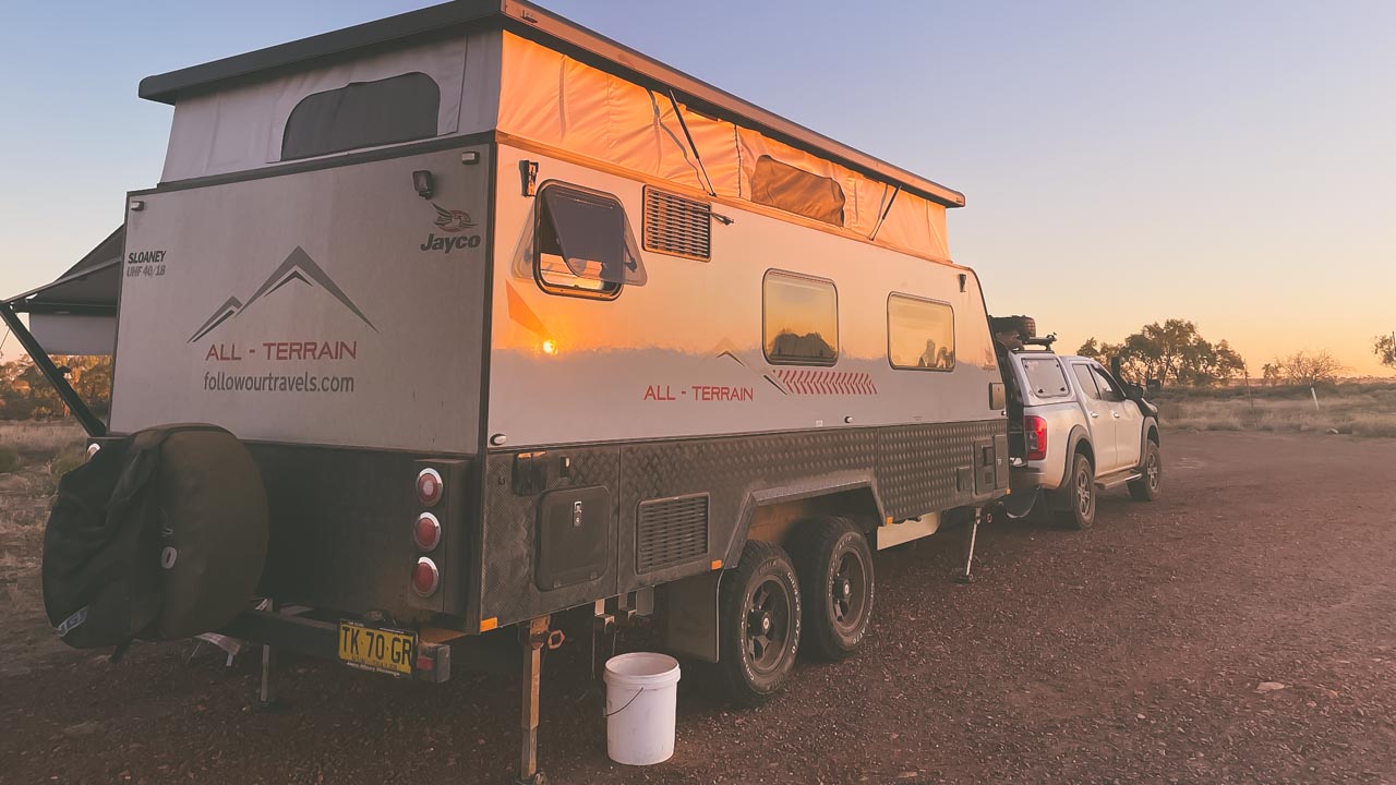
Camooweal Billabong Free Camping
A great place for a stopover between Tennant Creek and Mt Isa. Located in Camooweal QLD Camooweal Billabong free camping is a huge free camp on Lake Francis. There are no facilities. Approximately 100 caravans can be easily accommodated.
Camooweal Billabong Free Camping
Camooweal Billabong Free Camping
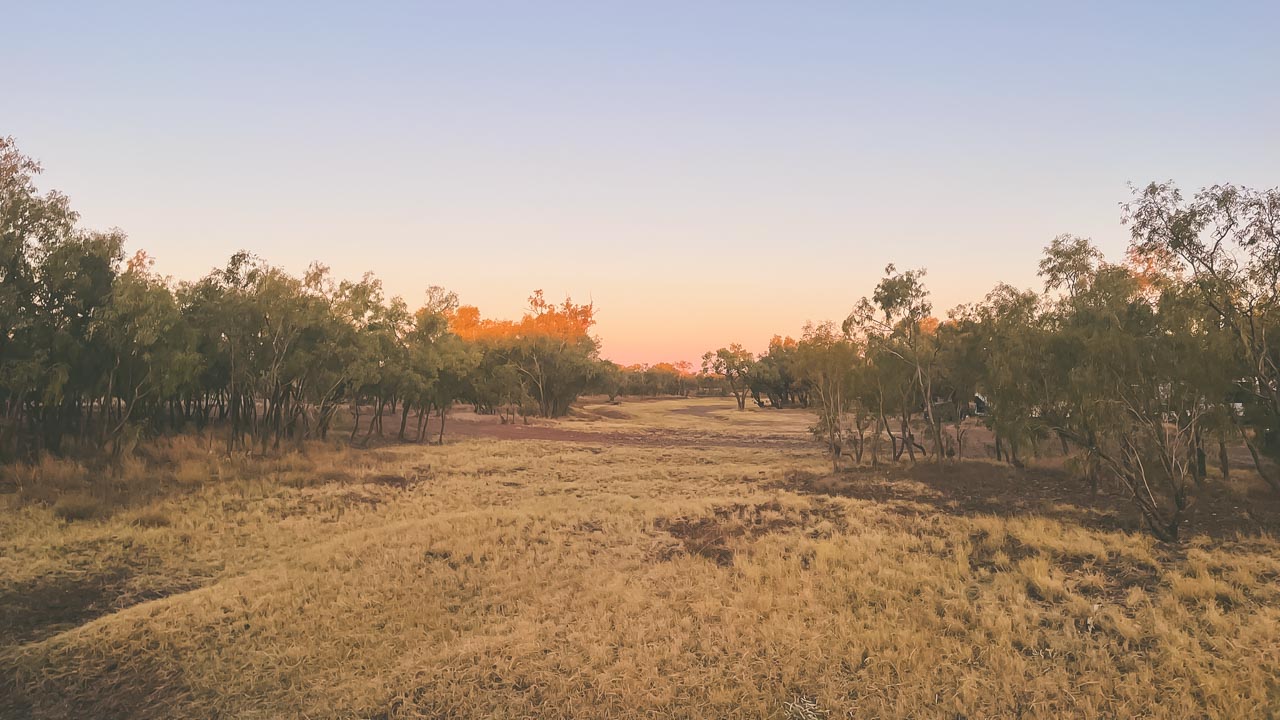
Whilst at Camooweal Billabong free camping brolgas and other water birds can be seen in abundance. Campfires are allowed. This is a worthwhile stopover after Mount Isa on the way to NT. Camooweal is an outback town and locality in Queensland, Australia. In this locality, Queensland meets the Northern Territory. Camooweal had 208 residents in the 2016 census.
Camooweal Billabong Empty
Camooweal Geography
Camooweal is located in the western Gulf Region, bordering the Northern Territory on the west. Camooweal is located in the southwest corner of the locality. 169 kilometres from Mount Isa and 12 kilometres from the Northern Territory border, this town is located in the north-west of the city.
From the south (Barkly), the Barkly Highway passes east to west through the town center (where it’s known as Barkly Street) and then exits to the west (Northern Territory).
In this locality, the Georgina River enters from the west (Northern Territory), passes immediately west of town, then exits to the south (Barkly). The Georgina River and Lake Canellan (also known as Lake Francis and Lake Canellan) lie south-east of the town. Lake Mary, also located along the river, is 7 kilometres northwest of town (19.8666°S 138.1°E).
The locality is a drainage divide running from the north-west to the south-east of the locality. A tributary of the Nicholson River flows into the Gulf of Carpentaria to the north of the locality. In the south and west of the locality, waterways are tributaries of the Georgina River, which forms part of the Lake Eyre drainage basin.
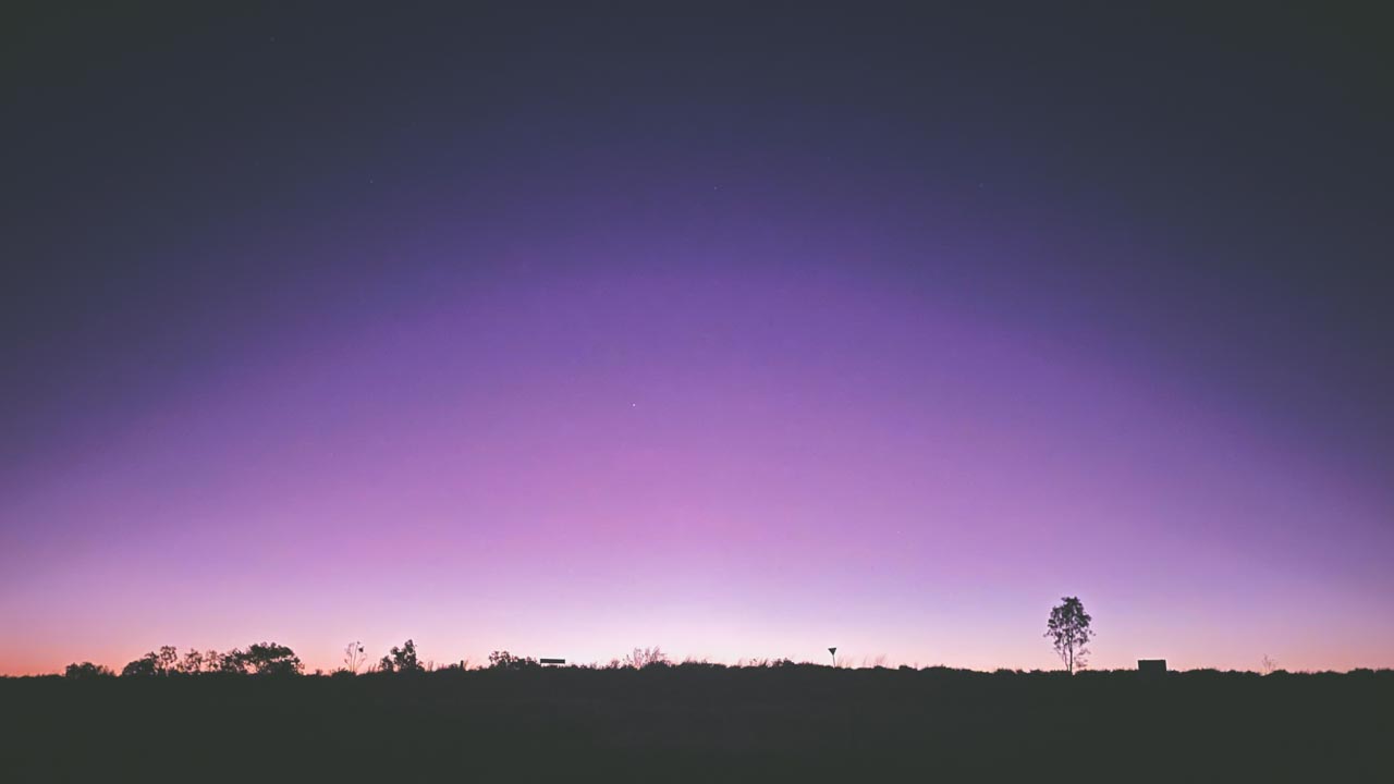
Camooweal Billabong Free Camping Spectacular Sunset
Camooweal QLD History
- First inhabited by Indigenous Australians, the area was known as Indjilandji.
- William Landsborough named the Barkly Tablelands after His Excellency, Sir Henry Barkly, Governor of Victoria in 1861. Frances Landsborough was also the name he gave to his niece Lake Francis. Britisher George Sutherland was the first to settle in the area. George took up the Rocklands lease in 1865. He arrived at Lake Mary with 8,000 sheep. This caused the Aboriginal people who were Sound asleep at the time to get up and run. In the following months they attacked Sutherland a couple of times. After fellow colonists William Lyne and Henry Steiglitz turned up Sutherland “deemed it fully time to make a raid and drive them back.” One of the colonialists fired a shot that hit a group of boomerangs. This scared the Aboriginal people into fleeing. Sutherlands stock suffered serious losses to the local dingos and wedge-tailed eagles. In addition, lack of water and isolation soon forced him to abandon his lease. Other Englishmen Benjamin Crosthwaite and William Tetley were marginally more successful. They took up the lease in 1876.
- The origin of the town’s name is not really known. A theory is that it take its name from surveyor George Telford Weale. George first surveyed the area with camels in the early 1880s. Get it – CamelWeale? Another theory has it that it is an Aboriginal word meaning strong wind.
- Camooweal Provisional School opened on June 5, 1893.
- The town had
- On 2 January 1931, a Qantas Air Ambulance from the Royal Flying Doctor Service of Australia rescued a man in Camooweal and delivered him to Brisbane. The plane was flown by piloted by E.G. Donaldson
- The road through Camooweal to the Northern Territory was built by army engineers. Now the Barkly Highway it was the inland defence route during World War II. This road carried in excess of 1000 vehicles a day. These days there are numerous historical sites marked alongside the road.
- The town first had electricity in 1952.
- St Therese’s Catholic Church was officially opened on 30 April 1961 by none other than the Bishop of Townsville Hugh Edward Ryan.
- Camooweal Caves National Park opened on 16 December 1994.
- Given the economic importance of transport on the Barkly Highway a constant problem was is flooding of the Georgina River. During floods the Barkly Highway bridge over the Georgina River became unusable for many days. Road trains and other heavy vehicles had to wait weeks before they were able to cross. The new Georgina River Bridge was officially opened on 20 December 2002 by Senator Ron Boswell and Steve Breadhauer the Minister for Transport in the Queensland Government. Replacing the previous bridge which was approximately 50 metres (160 ft) south it is both higher and longer so traffic on the highway can continue to cross during floods.
- In the 2016 census, the locality of Camooweal had a population of 208 people.
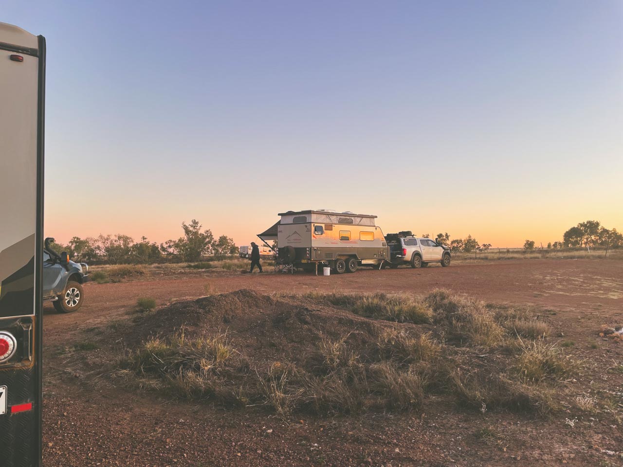
Camooweal Billabong Huge Free Camping Area