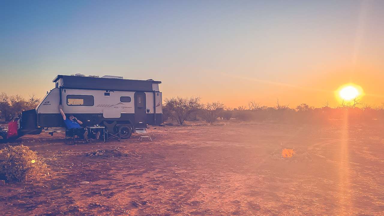
Here are 25 great day trips near Sydney you for free where you’re a chance of seeing snow. Good for families and kids – no bookings required. Find the top day trip destinations near Sydney to experience snow. Enjoy winter activities and superb scenery without having to go too far.
Are you looking for a snowy adventure but you’re based in Sydney? You’re in luck! While Sydney itself doesn’t experience snowfall there are plenty of destinations within a day’s return drive where you can have a snow experience. This guide will take you through 25 fantastic snow day trips from Sydney. Perfect for families.
Snow In New South Wales
New South Wales (NSW) offers several spots where snow is almost guaranteed during the winter months. Although Sydney’s climate is too mild for snow, nearby regions with higher altitudes provide ample opportunities for snowy fun.
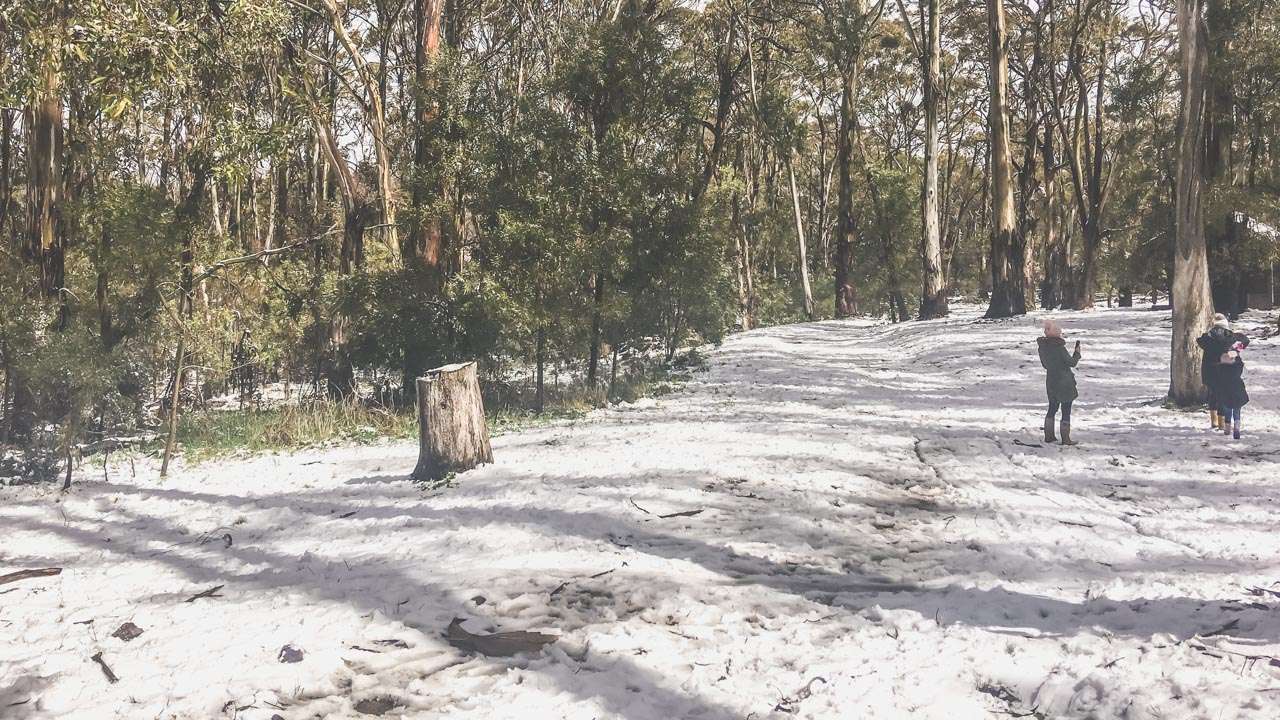
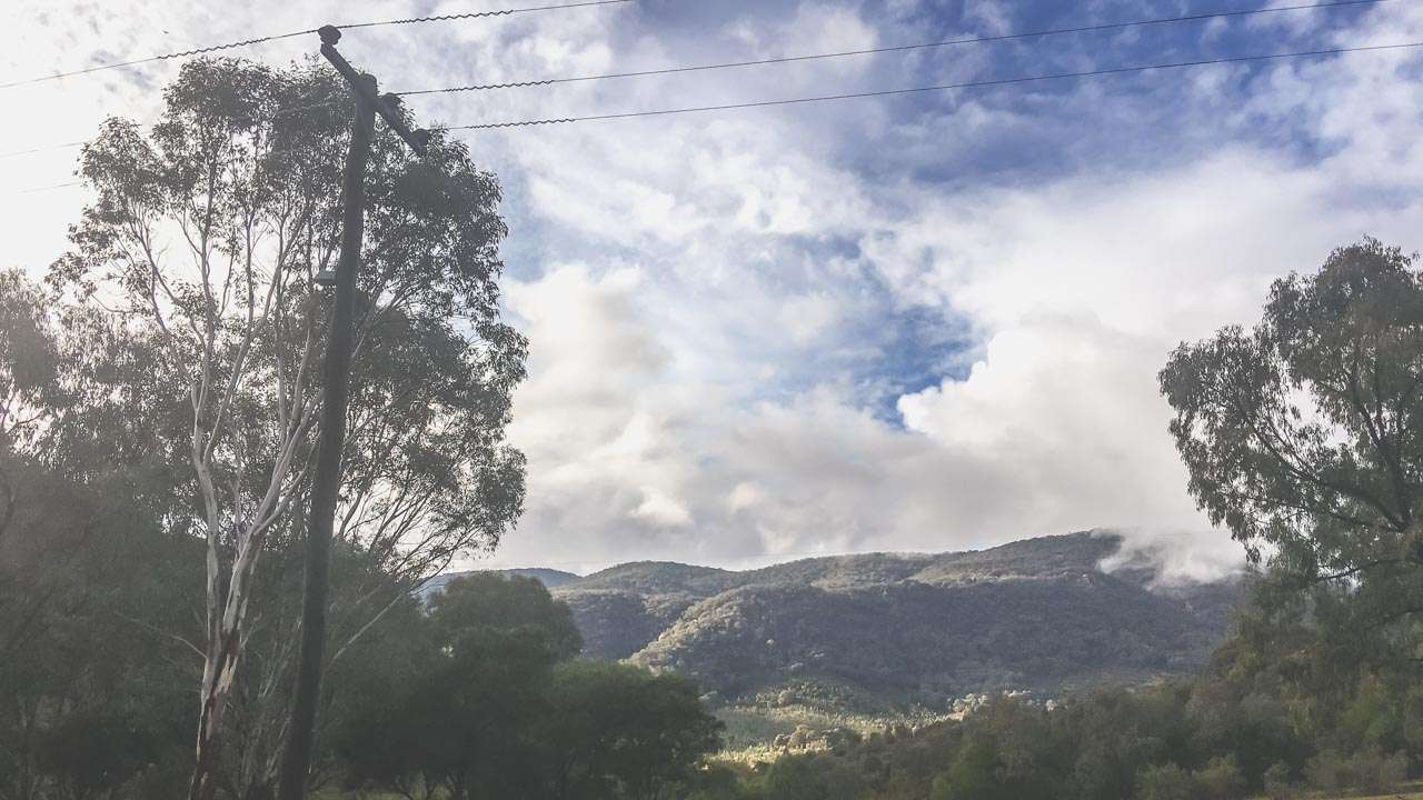
At The Snow Near Sydney At Mt Canobolas
Historical Snowfall Records
While Sydney’s rare snowfall events are more myth than common occurrence the snowfields of NSW have a rich history of reliable winter snow. Destinations like Thredbo and Perisher are well known for their consistent snowfalls. It snows in the Blue Mountains a few times every year and places like Shooters Hill and Mt Canobolas near Orange generally receive snow a few times a year.
Snow Sydney Australia? You Betcha!
Within a 300 kilometre radius of Sydney you there are numerous spots to enjoy the magic of snow. From small towns to national parks here are 25 places to see snow near Sydney.
1. Blue Mountains
Distance: 100 km
Highlights: The Blue Mountains occasionally see snow especially around areas like Katoomba and Blackheath. The Three Sisters and other lookouts provide stunning snowy vistas.
2. Oberon
Distance: 180 km
Highlights: Oberon sometimes gets snow during winter. It’s also close to the famous Jenolan Caves.
3. Lithgow
Distance: 150 km
Highlights: Lithgow surrounding areas like Newnes Plateau sometime see light snow. The town is rich in history and natural beauty.
4. Barrington Tops
Distance: 300 km
Highlights: This rugged wilderness area often gets snow in winter offering a pristine and remote snowy escape.
5. Jenolan Caves
Distance: 175 km
Highlights: Occasionally the area around Jenolan Caves receives snow. And if there’s no snow you can always check out the caves.
6. Shooters Hill
Distance: 150 km
Highlights: Located near Oberon – Shooters Hill is one of the more reliable places in the Central Tablelands to see snow during winter.
7. Mount Bindo
Distance: 180 km
Highlights: Mount Bindo near Oberon is known for its winter snow.

Snow At Mt Canobolas
8. Hampton State Forest
Distance: 140 km
Highlights: This area sometimes receives snow.
9. Kanangra-Boyd National Park
Distance: 180 km
Highlights: The park’s high altitude means it can receive snow.
10. Wentworth Falls
Distance: 100 km
Highlights: While not a regular snow spot Wentworth Falls in the Blue Mountains can see light snow. And if there isn’t any snow when you get there it’s still a great place to spend a day.
11. Mount Tomah
Distance: 100 km
Highlights: Home to the Blue Mountains Botanic Garden. Mount Tomah occasionally experiences snow.
12. Bilpin
Distance: 90 km
Highlights: Known for its orchards and gardens Bilpin can sometimes see snow.
13. Blackheath
Distance: 120 km
Highlights: Blackheath is one of the highest towns in the Blue Mountains and often receives snow. Regardless of it there is snow around when you arrive it’s still a very popular winter destination.
14. Katoomba
Distance: 110 km
Highlights: Katoomba is home to the famous Three Sisters and lots more. It can experience snow.
15. Mount Victoria
Distance: 120 km
Highlights: Another high altitude town in the Blue Mountains. If it’s going to be snowing anywhere in the Blue Mountains it’ll probably be at Mount Victoria.
16. Hill End
Distance: 280 km
Highlights: Hill End occasionally gets snow. And if there’s no snow you can always have a crack at gold panning. Hey you’ve got to get lucky with something!
17. Rylstone
Distance: 240 km
Highlights: Located in the Central Tablelands Rylstone can see snow occasionally.
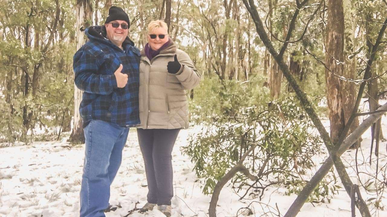
18. Orange
Distance: 260 km
Highlights: Orange sometimes experiences snow. We’ve been there a couple of times when it’s been snowing
Snowing In Orange
19. Mudgee
Distance: 270 km
Highlights: Mudgee’s high altitude means it can get snow.
20. Bathurst
Distance: 200 km
Highlights: Bathurst occasionally sees snow on Mount Panorama Circuit.
21. Taralga
Distance: 220 km
Highlights: This little town can experience snow making its historical buildings and landscapes come alive.
22. Glen Davis
Distance: 200 km
Highlights: You’ll find Glen Davis in the Capertee Valley. Glen Davis can receive snow and when it does it creates a stunning contrast with its dramatic cliffs and ruins.
23. Sofala
Distance: 250 km
Highlights: This small historic gold mining town can experience snow. And just like Hill End if there’s no snow you can try getting lucky by finding a bit of gold.
24. Jenolan State Forest
Distance: 180 km
Highlights: Adjacent to Jenolan Caves this forest area sometimes gets a bit of snow.
25. Wombeyan Caves
Distance: 200 km
Highlights: The area around Wombeyan Caves can see snow. And if there’s no snow you can always have a look at the caves so you haven’t wasted your day.
Interactive Map Of Where To See Snow Near Sydney
Tips For Finding Potential Snow Conditions For A Region – Snow Sydney Australia
Finding out when it’s snowing near Sydney can be a bit of a challenge since snow is quite rare in the region. However there are some tips to helping you track snow conditions.
- BOM – Bureau Of Meteorology: Pay attention to the areas you are thinking of heading to and watch the Bureau Of Meteorology web site for forecasts. In particular look for days where they predict snow above a certain for a level for example “snow above 1100 metres”. Check mountain heights and in the area you want to visit it and compare that the BOM forecasts.
- Weather Websites and Apps: Use reliable weather forecasting websites and apps like the Bureau of Meteorology (BOM), Weather.com, and Weatherzone. These sources provide detailed forecasts, including snow predictions for nearby mountainous areas.
- Social Media and Forums: Follow local weather enthusiasts and groups on social media platforms like Facebook, Twitter, and Reddit. They often share real-time updates and photos when it starts snowing.
- Live Cameras: Some regions have live webcams set up. Websites like Ski.com.au provide live camera feeds from popular snow destinations.
- Local News Outlets: Keep an eye on local news websites and broadcasts. They often report on unusual weather events including snowfall in nearby regions. They love reporting on snow Sydney Australia so keep an eye and both ears open!
- Snow Alerts: Sign up for snow alerts and notifications on weather websites or apps. These alerts can notify you of any significant snow events in areas around Sydney.
By using these resources, you can stay informed about when and where snow is expected near Sydney.
Snow Sydney Australia
Preparing For Snow Day Trips
Make sure to pack:
- Warm, layered clothing
- Waterproof jackets and pants
- Thermal gloves and socks
- Hats and scarves
- Sunscreen and lip balm (yes, even in winter!)
Snowy Mountains
Conclusion
A snow day trip from Sydney is a great day out. With a heap of different destinations to choose from there’s something for everyone. These 25 spots ranging from small towns, scenic lookouts to rugged national parks are all ideal for a day trip or weekend getaway.