Camping At Wentworth Station Near The Weddin Mountains
Camping At Wentworth Station Near The Weddin Mountains
We spent the Easter long weekend camping at Wentworth Station in the foothills of the Weddin Mountains. The bushranger Ben Hall used to camp along the banks of a creek here with his horses.
There is plenty to do and see in the area. You can explore the nearby Weddin Mountains National Park and Bimbi State Forest. Wentworth Station was founded back in the 1840s. The property is located smack bang in the middle of Young, Forbes, West Wyalong and Cowra. It’s about an hour to drive to each. We live in Cootamundra and it only took us an hour and fifteen minutes with the caravan on.
Just 20 minutes North is Grenfell. Tucked into the beautiful Lachlan Valley Grenfell is a fascinating gold rush town with great galleries, historic buildings and superb country pubs. There are many events celebrating the town’s rich history and culture. Beautiful red river gums that are hundreds of years old. There’s a heap of birdlife to look at and there are fish in the creek.
Camping at Wentworth Station is an awesome way to spend a relaxing weekend. You can have fires and it’s even pet friendly.
Camping At Wentworth Station Gallery
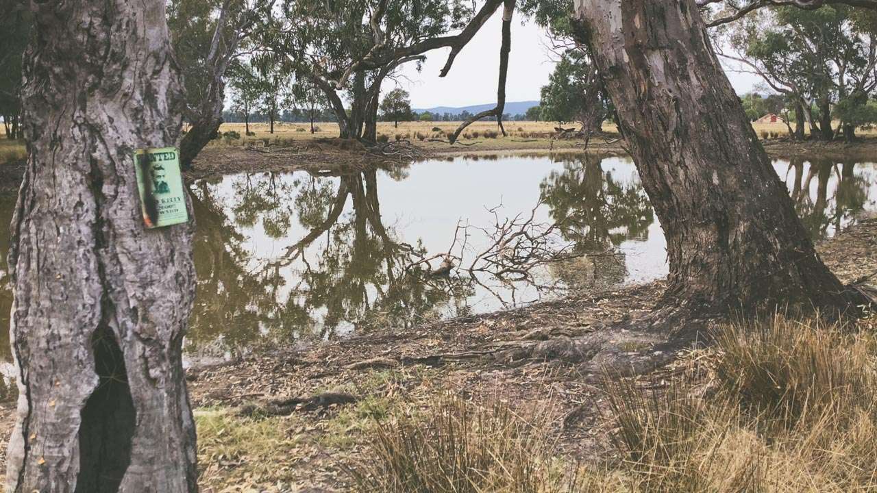
Ben Hall Camped Here A Few Times
Ben Hall Camped Here A Few Times
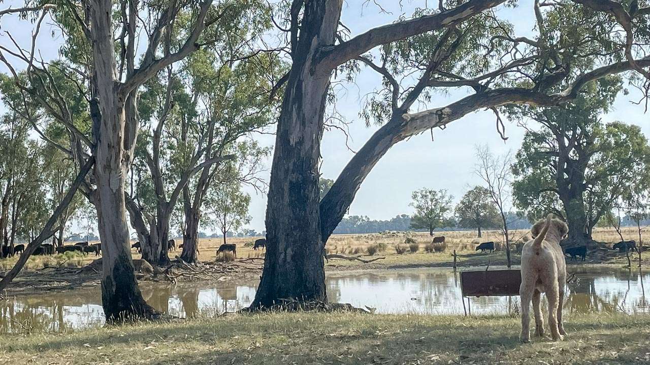
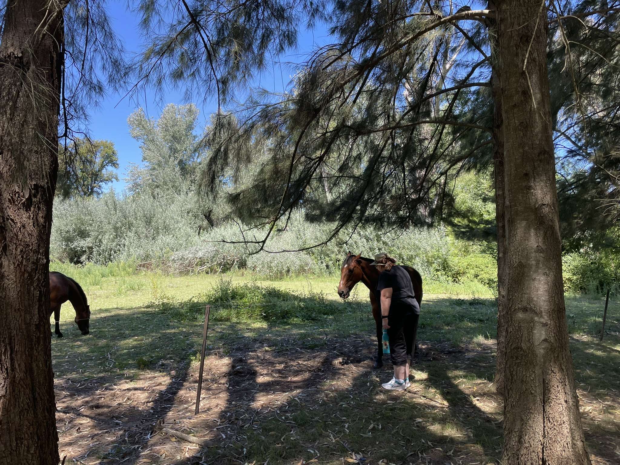
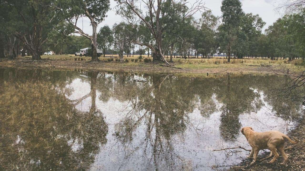
Graciee Checking Out The Cows
Graciee Checking Out The Cows
Plenty Of Fire Pits Around
Plenty Of Fire Pits Around
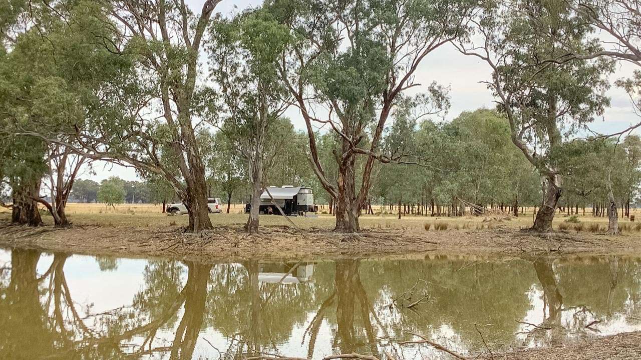
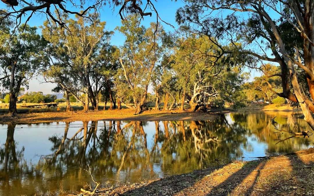
Setting Sun At Wentworth Station Across The Creek
Setting Sun At Wentworth Station Across The Creek
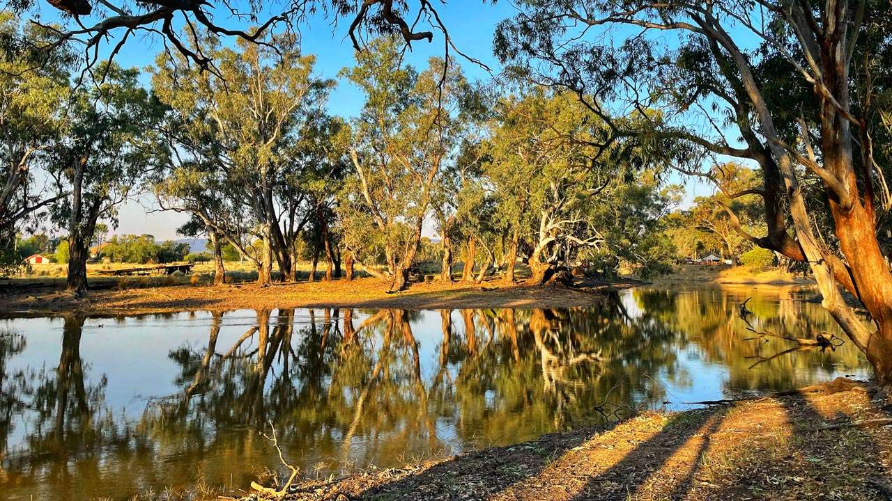
Sun Going Down The Thursday Before Easter
Sun Going Down The Thursday Before Easter
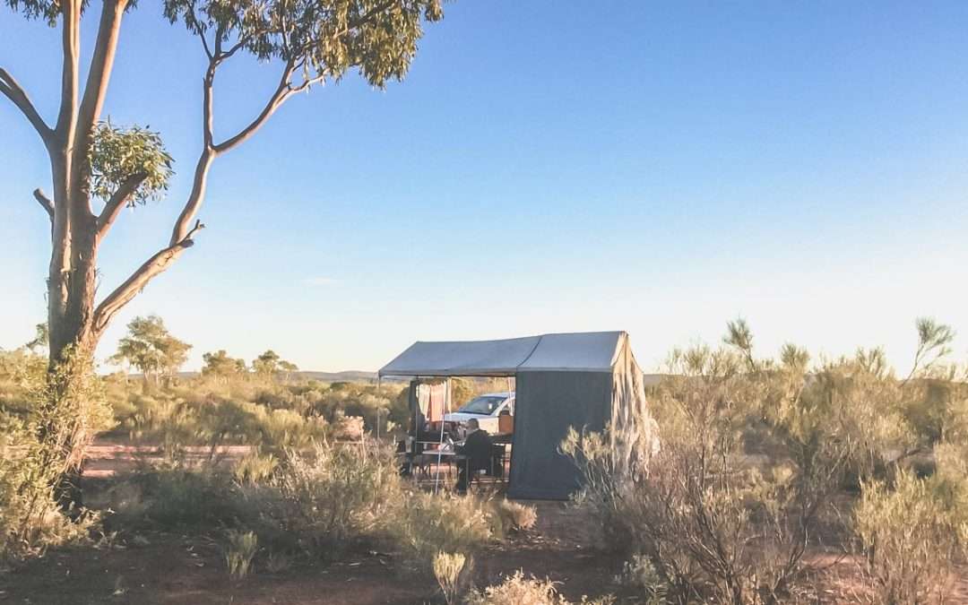
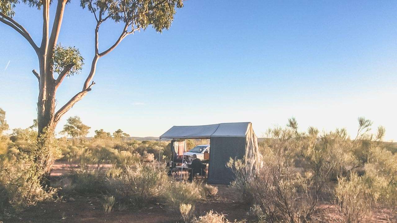
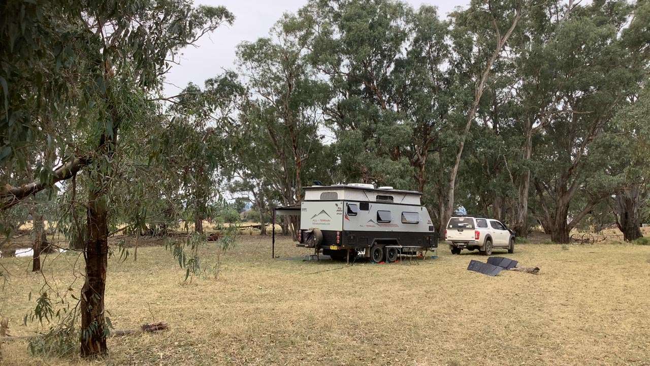
Wentworth Station Camping
Wentworth Station Camping
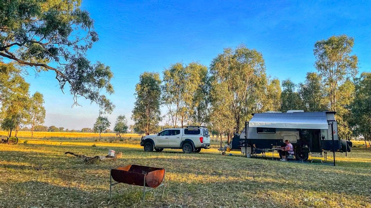
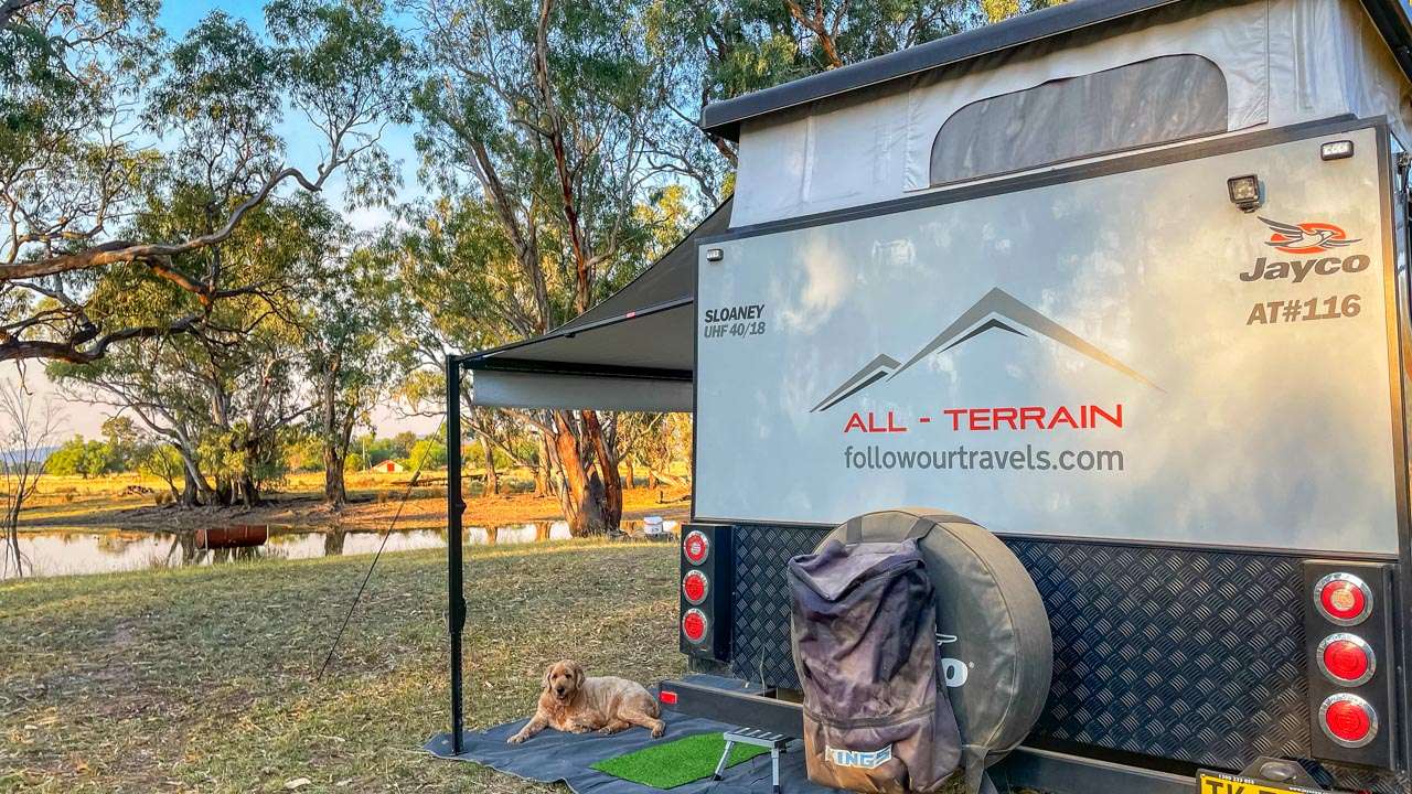
Wentworth Station Pet Friendly Camping
Wentworth Station Pet Friendly Camping
Getting To Bimbi NSW
To drive from Sydney to Bimbi NSW follow these directions:
- From Sydney head west on the M4 motorway towards Parramatta.
- Continue on the M4 until you reach the Blue Mountains. Follow signs to stay on the Great Western Highway (A32).
- Stay on the Great Western Highway as it passes through towns like Katoomba, Lithgow, and Bathurst.
- After Bathurst, continue on the Great Western Highway for approximately 21 kilometres until you reach the town of Cowra.
- In Cowra, turn right onto the Olympic Highway (B41) heading north.
- Follow the Olympic Highway for about 21 kilometres until you reach Bimbi.
These directions should take you approximately 4 to 5 hours depending on traffic and road conditions. Make sure to check for any road closures or delays before you depart.
| Travel From to Bimbi | Distance | Time |
| Adelaide | 981km | 10:31 |
| Albury | 282km | 03:14 |
| Canberra | 211km | 02:38 |
| Melbourne | 606km | 06:34 |
| Sydney | 425km | 04:40 |
| Wagga Wagga | 156km | 01:47 |