Discover Whyte Yarcowie camping at Yarcowie Railway Track. Perfect for a safe and quiet overnight stay in South Australia’s Mid North. The Yarcowie Railway Track camping area is a great free camping choice for budget conscious travellers.
Where can you find excellent free camping near Whyte Yarcowie SA?
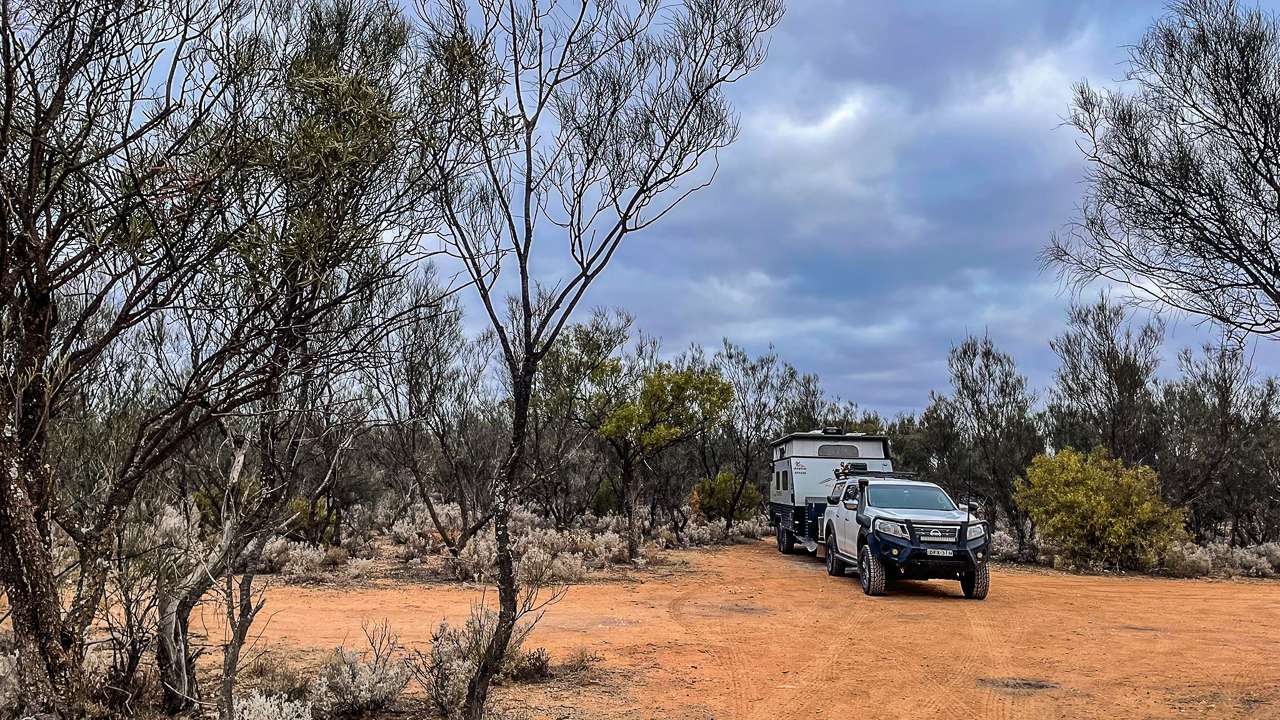
The Yarcowie Railway Track camping area provides outstanding Whyte Yarcowie Camping opportunities for self-contained travellers. Located right on the Barrier Highway near Whyte Yarcowie SA, this Free Camping At Whyte Yarcowie spot offers a peaceful overnight rest for caravanners and motorhomes exploring South Australia’s Mid North region.
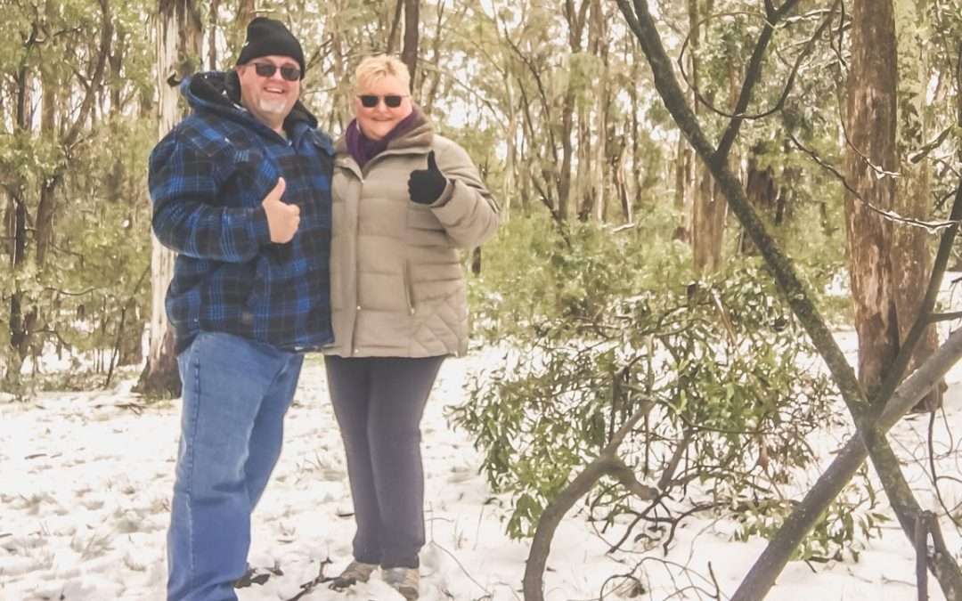
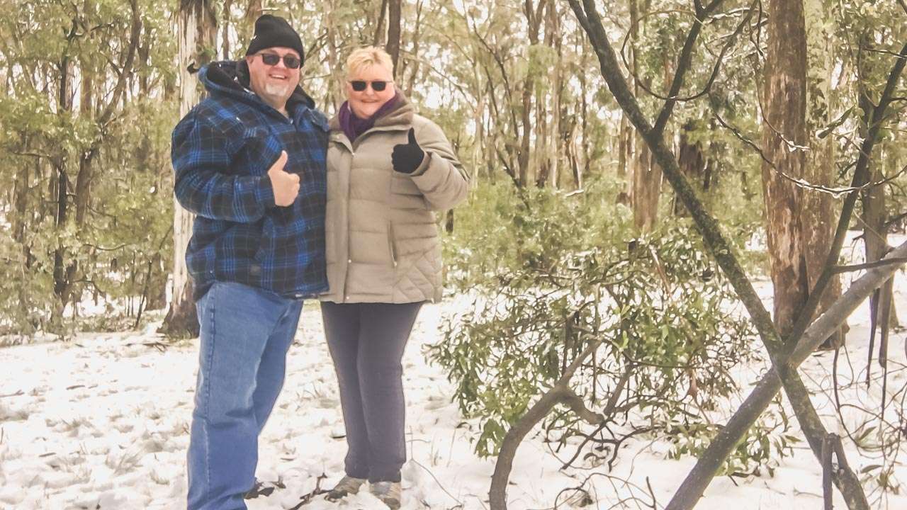
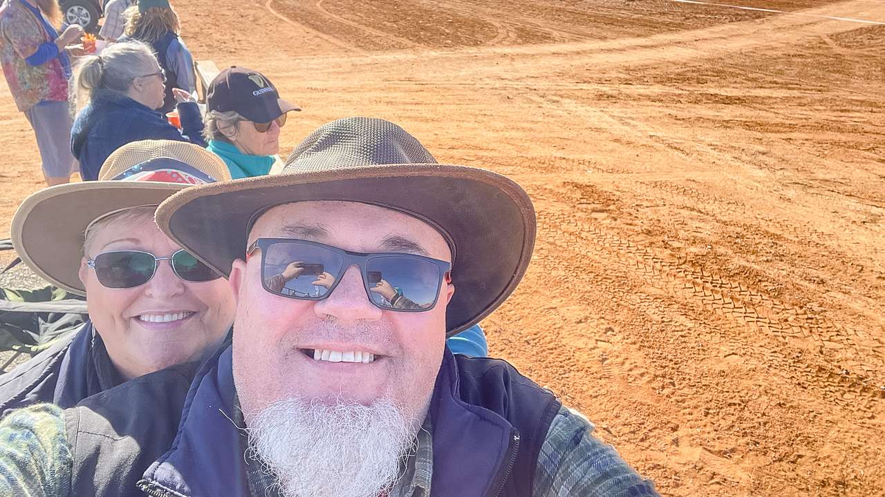
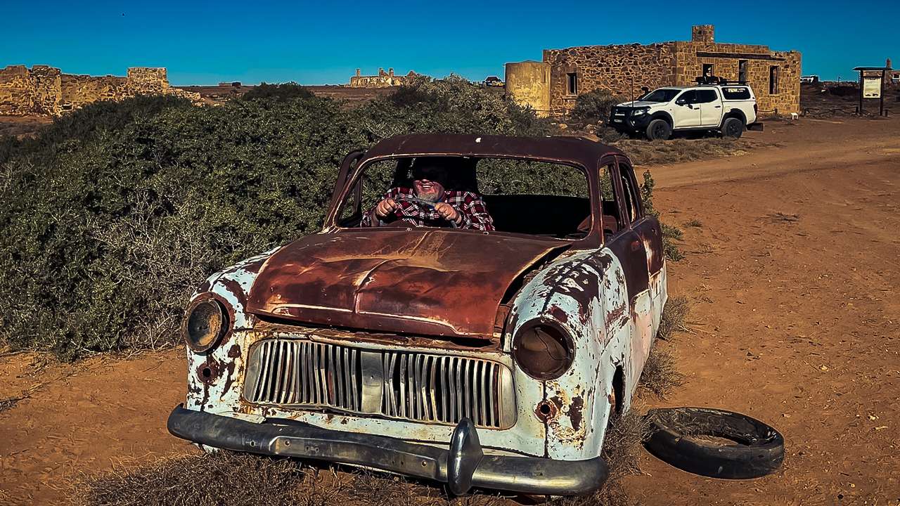
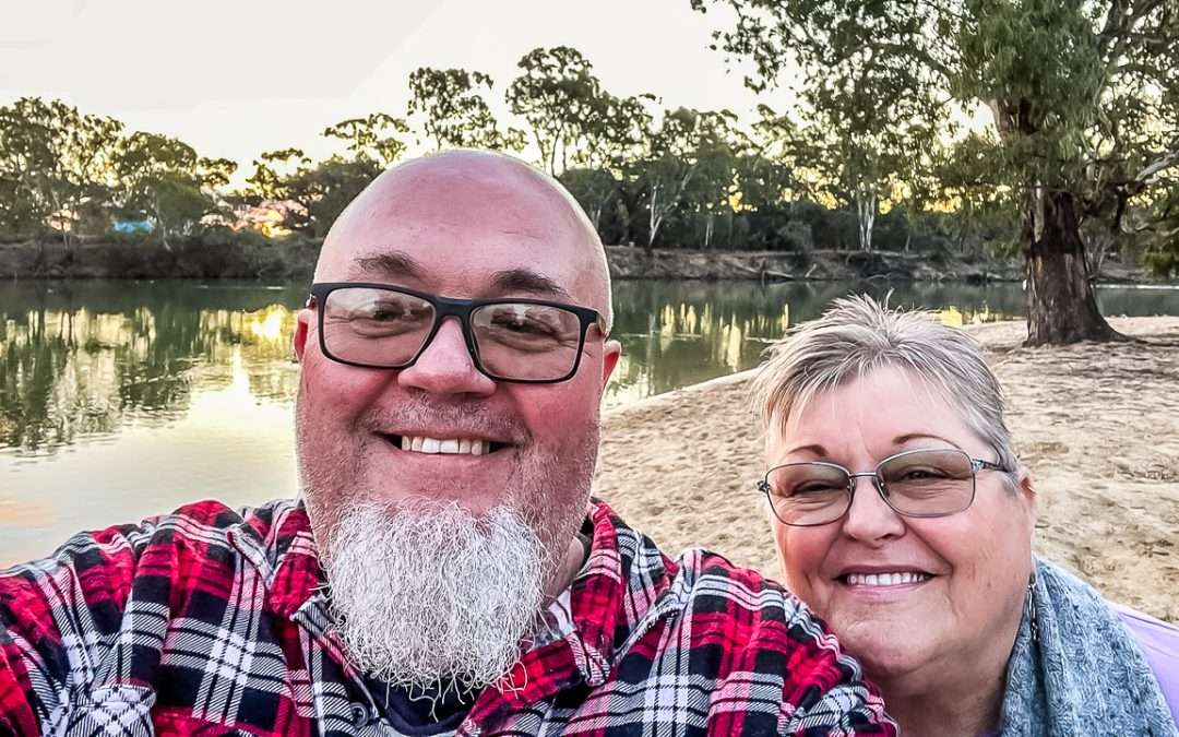
Amanda and I discovered this fantastic spot in June 2025 on our return journey from the Marree camel races. After years of exploring Australia’s Yarcowie Railway Track sites, we can honestly say this location stands out as one of the best Whyte Yarcowie Free Camping spots for budget conscious travellers seeking a great place to camp up for the night.
Free Camping At Yarcowie Railway Track
Yarcowie Railway Track Camping Area At A Glance
Camping Type: Free Camping
Cost: Free
Location: Barrier Highway, Whyte Yarcowie SA
GPS: -33.2287330, 138.8830880
Pet Friendly: Yes
Toilets: No
Bins: No
Campfires: Yes (check local conditions)
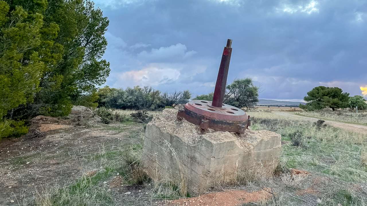
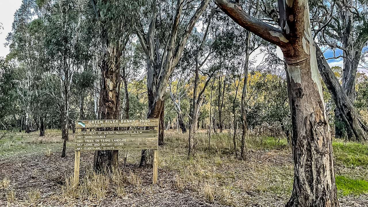
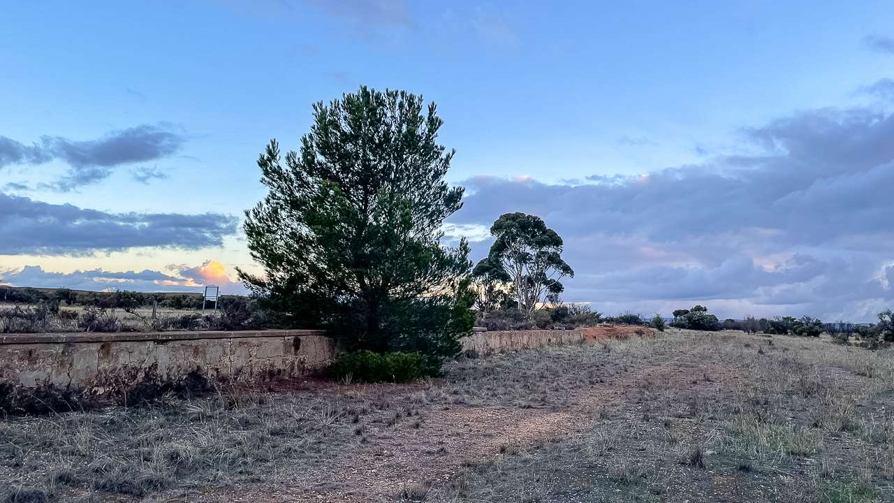
Maybe The Base Of The Goods Shed Crane At Abandoned whyte Yarcowie Station
Discovering Free Camping At Whyte Yarcowie
Finding Free Camping At Whyte Yarcowie can feel like striking gold in today’s expensive camping landscape. The Yarcowie Railway Track camping area is a great free camping choice for budget conscious travellers. We’ve returned to this spot several times during our Mid North adventures.
The Whyte Yarcowie Free Camp site sits strategically on the Barrier Highway making it perfect for breaking up longer journeys across South Australia’s vast distance. Most importantly, the site welcomes self contained vehicles. There are no facilities here at all.
Location And Access For Whyte Yarcowie Camping
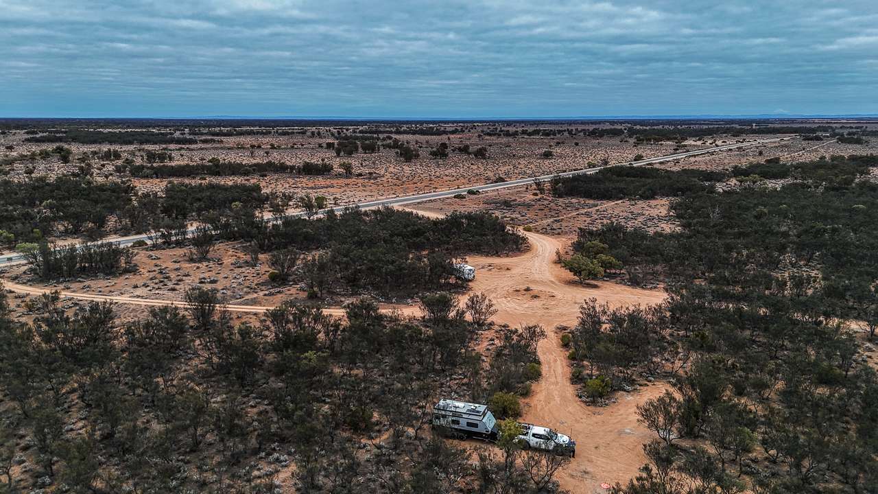
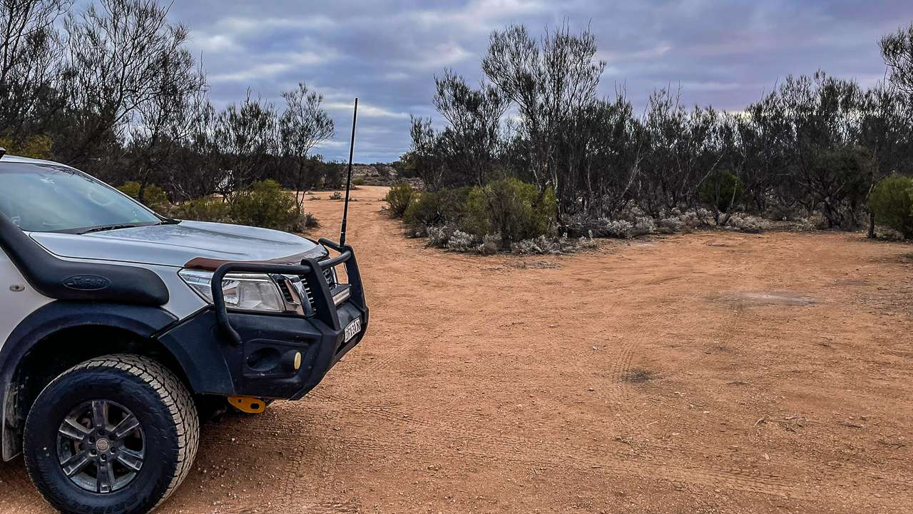
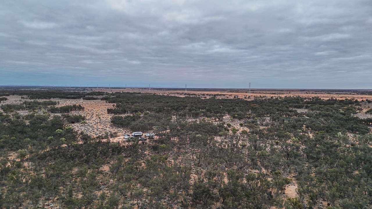
The Yarcowie Railway Track camping area sits directly on the Barrier Highway at Whyte Yarcowie SA approximately 210 kilometres north of Adelaide. Caravans and motorhomes will find easy access directly from the main highway without navigating any lengthy dirt roads. The road to the camping area would be lucky to be 50m from the Barrier Highway. The location provides easy access to both eastbound and westbound traffic.
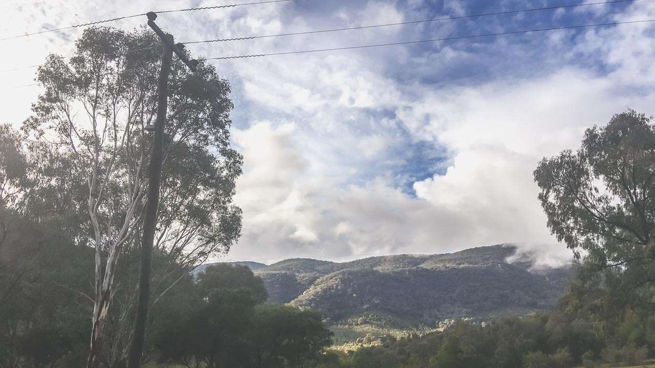
GPS coordinates place this Free Camping At Whyte Yarcowie spot within the locality boundaries of Whyte Yarcowie. Campers can enjoy a rural setting surrounded by typical Mid North pastoral landscapes. Similarly the position along the historic railway line offers glimpses into South Australia’s transport heritage.
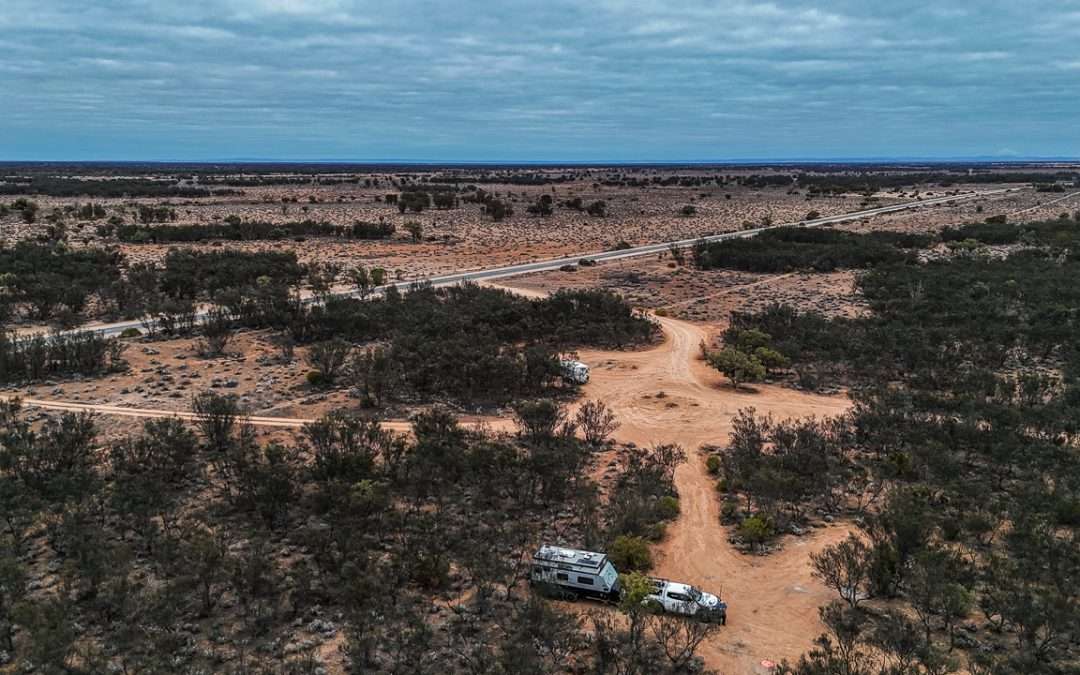
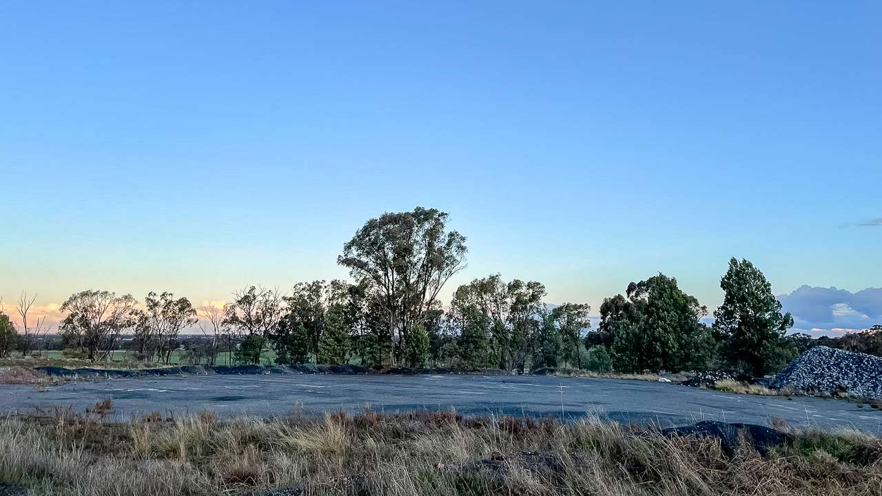
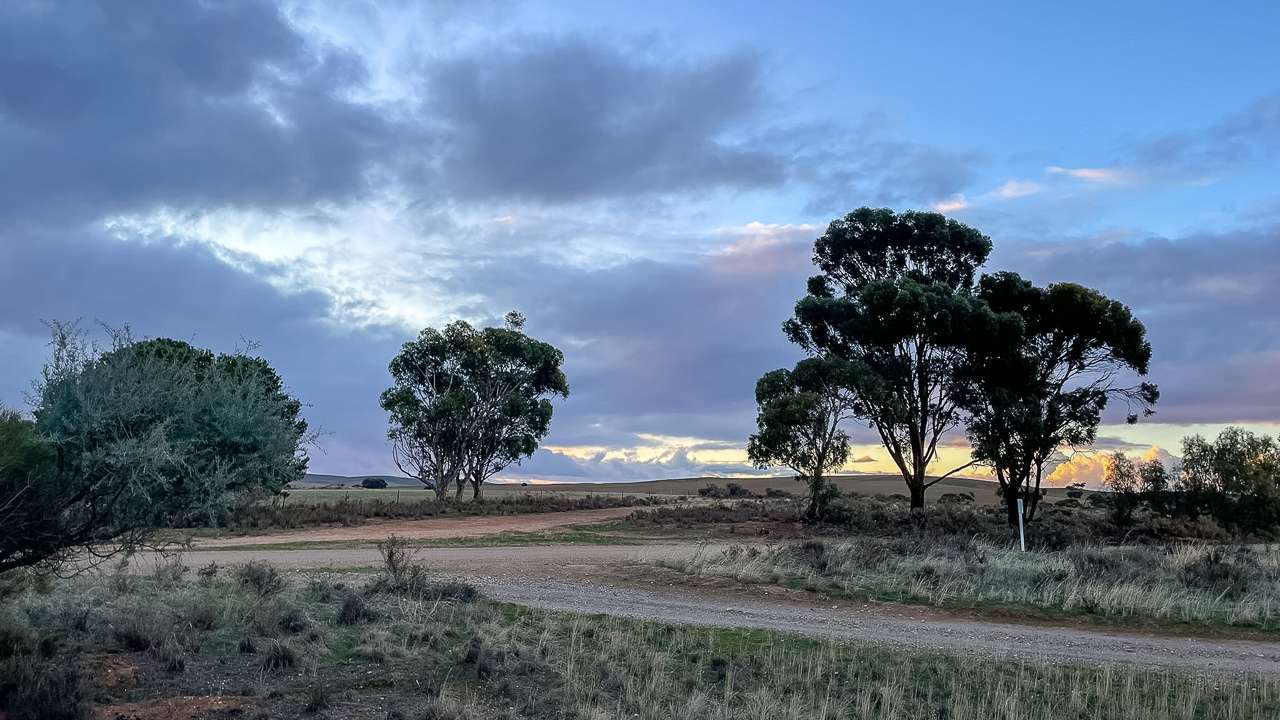
Plenty Of Room At Whyte Yarcowie Railway Track
Finding The Perfect Yarcowie Railway Track Spot
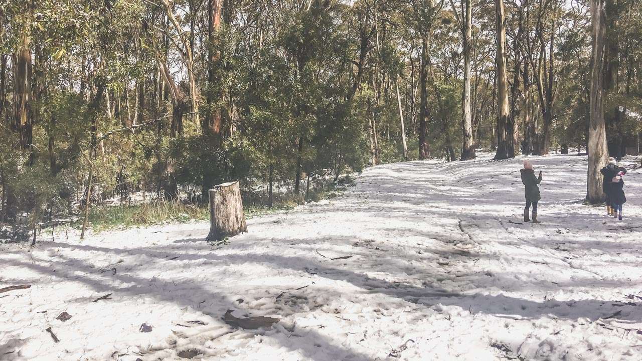
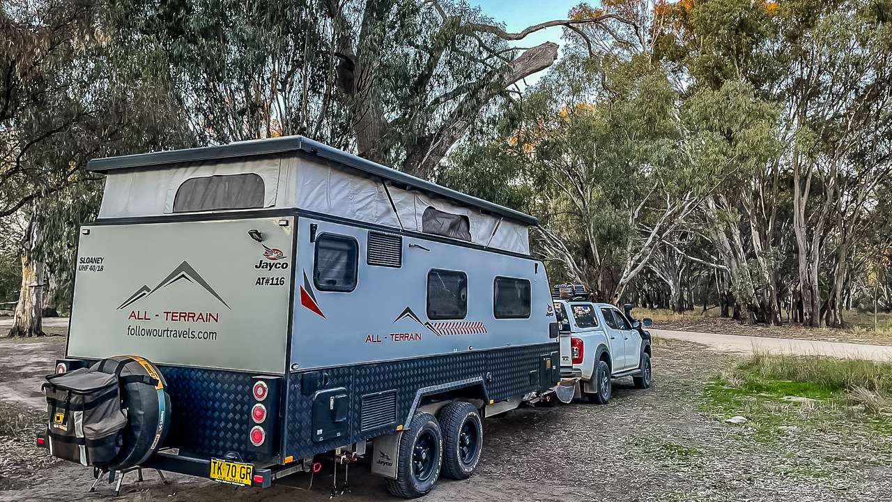
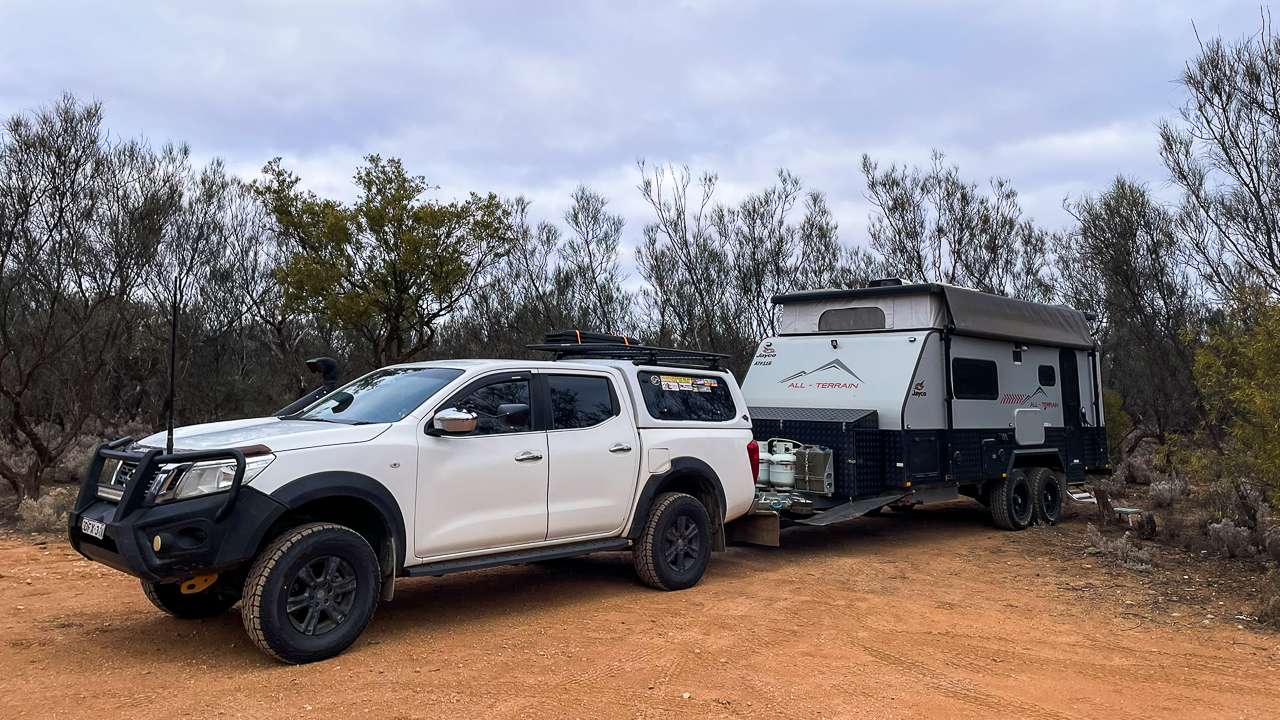
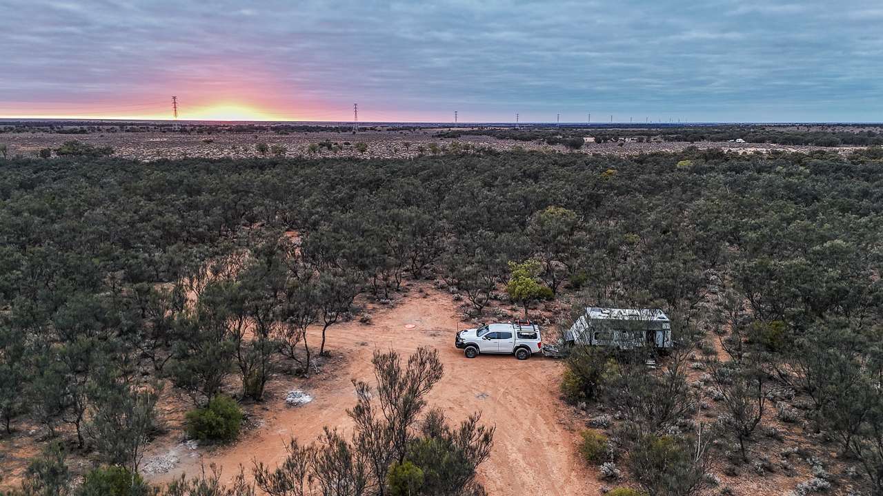
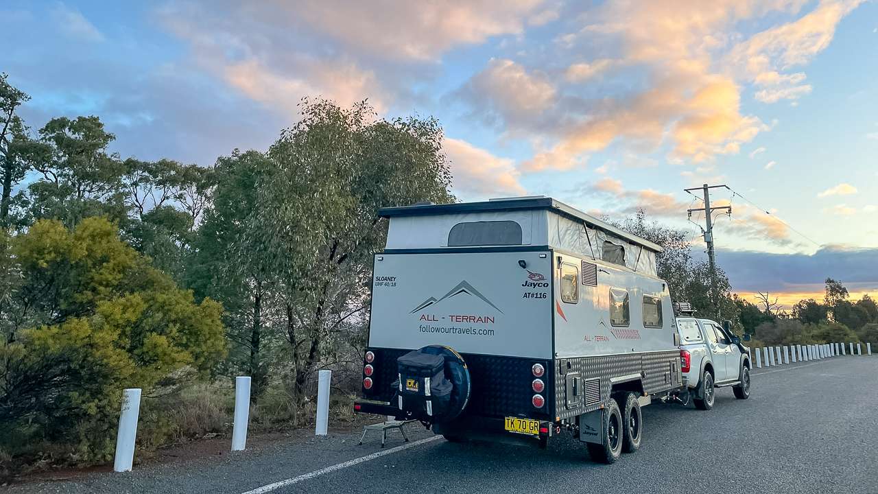
During our June 2025 visit we appreciated the straightforward access to this camping area. We found two or three suitable spots for our caravan setup. The area accommodates various vehicle types, from compact campervans to large motorhomes with slide-outs.
Weather conditions during our stay proved ideal for camping. The late June temperature ranged from an afternoon of about 12ºC and an overnight low of about 4ºC. We’re completely used to these kind of winter temperatures and had packed appropriate clothing for the seasonal temperature variations we expected.
Facilities And Amenities At Yarcowie Railway Track
While this Whyte Yarcowie Camping location maintains a basic setup, it provides essential amenities for self-contained travellers. The site welcomes dogs, making it perfect for families travelling with pets. However, campers should arrive prepared with their own water, food and waste management systems.
Basic facilities include designated camping areas suitable for various vehicle sizes. Additionally, the location provides enough space for multiple camping units without feeling crowded. Therefore, early arrivals typically secure the most sheltered and level sites.
Essential Amenities For Whyte Yarcowie Free Camping
During our overnight stay we found the camping area well maintained despite its remote location. The site offers adequate rubbish disposal facilities nearby but not at the site encouraging responsible camping practices. The location allows campfires during appropriate seasons and conditions.
Self contained amenities are crucial at this Whyte Yarcowie Free Camp location. Travellers need onboard water tanks, toilet facilities and grey water storage.
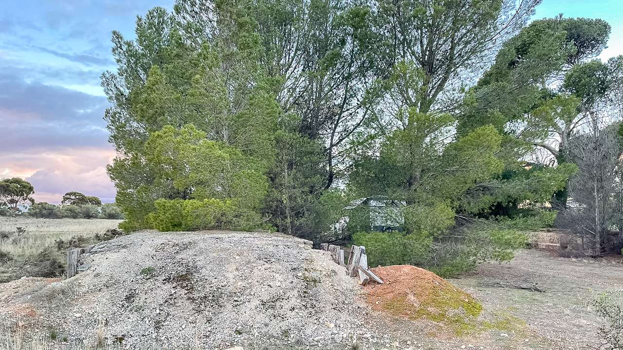
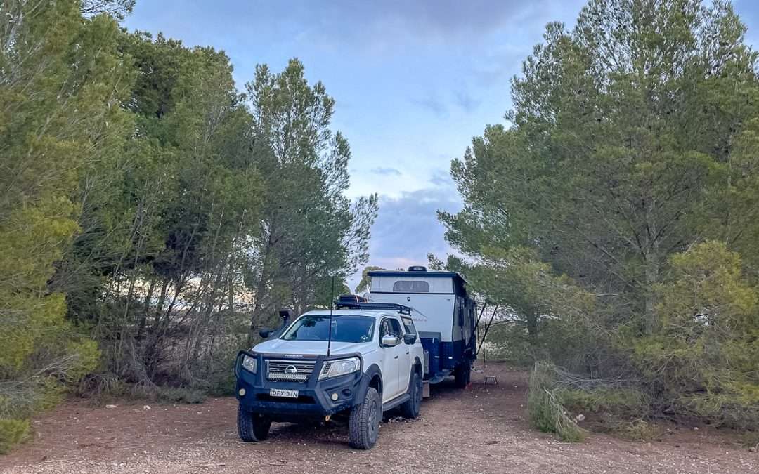
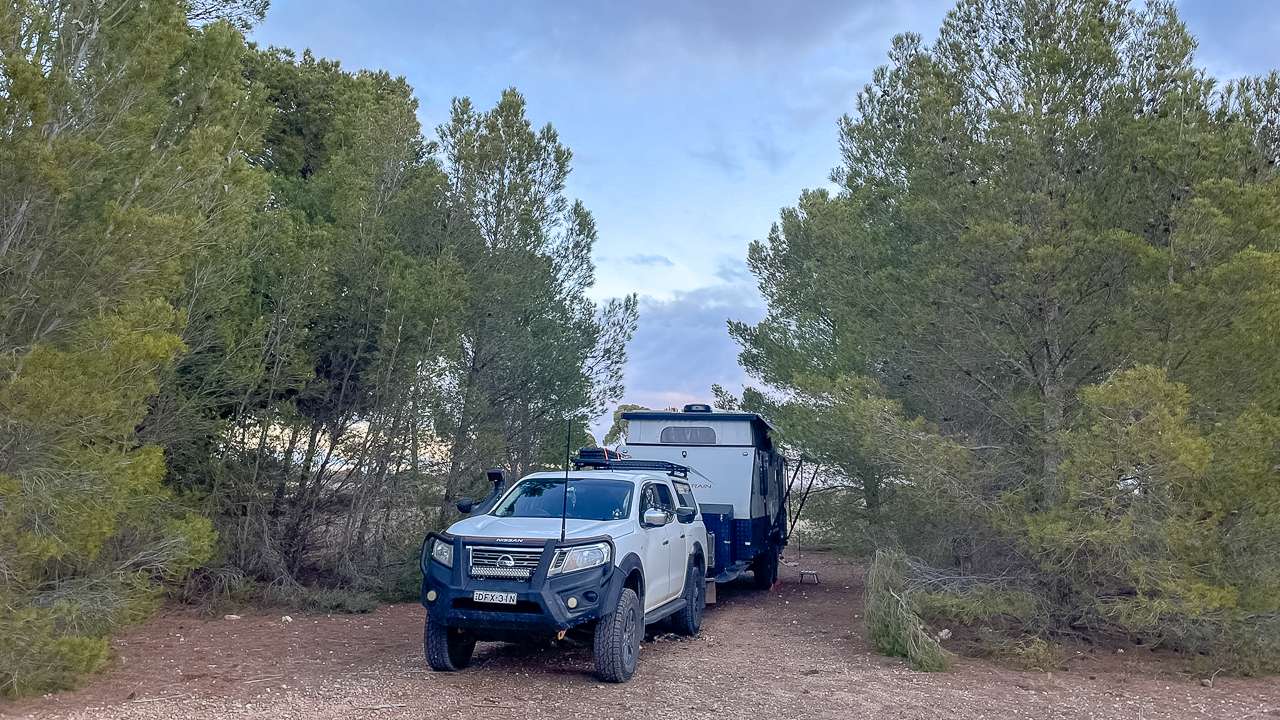
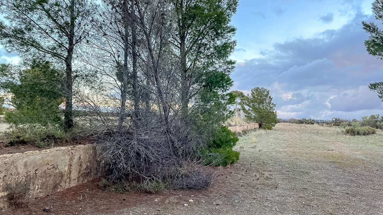
Tucked In Amongst The Pines Free Camping At Whyte Yarcowie
History Of Whyte Yarcowie And The Railway
The town of Yarcowie was surveyed in 1875, with first land released to settlers in March 1872. The name derives from Aboriginal (Ngadjuri) origin meaning “Wide Water”. The prefix ‘Whyte’ was added in 1929 after early pastoralist John Whyte creating the modern name Whyte Yarcowie.
The railway station on the Peterborough railway line opened in 1880 transforming Whyte Yarcowie into a bustling railway town. The town flourished during the early 1900s with a flour mill, schools, hotels and an Anglican Church reportedly the smallest in Australia. The railway closed in 1988 marking the end of an era.
The Historic Railway Station And Development
Whyte Yarcowie developed quickly after its establishment owing to its position on the main north Stock Route and its place at the heart of an agricultural area. By the end of its first three years the town had a substantial flour mill, school, chapel, shops and a post office. The railway’s arrival in 1881 accelerated the town’s progress significantly.
The town reached a stable population of one to two hundred, briefly doubling during the 1920s soldier settlement scheme. The historic flour mill operated from 1876 until 1920 standing three storeys high as the biggest structure in town. Many nineteenth and early twentieth century buildings still survive reminding visitors of the town’s important rural service history.
The Famous Yarcowie Hotel
The Yarcowie Hotel (formerly the Commercial Hotel) opened around 1881 on the Barrier Highway. This historic establishment has served travellers for over 140 years, adapting to changing times while maintaining its outback character. A second hotel operated between 1875 and 1893, known as either the Yarcowie Hotel or Globe Hotel.
Yarcowie Hotel continued the tradition of outback hospitality, providing services to travellers along the Barrier Highway. Sadly the pub has been closed for a few years and currently as of July 2025 is listed for sale.
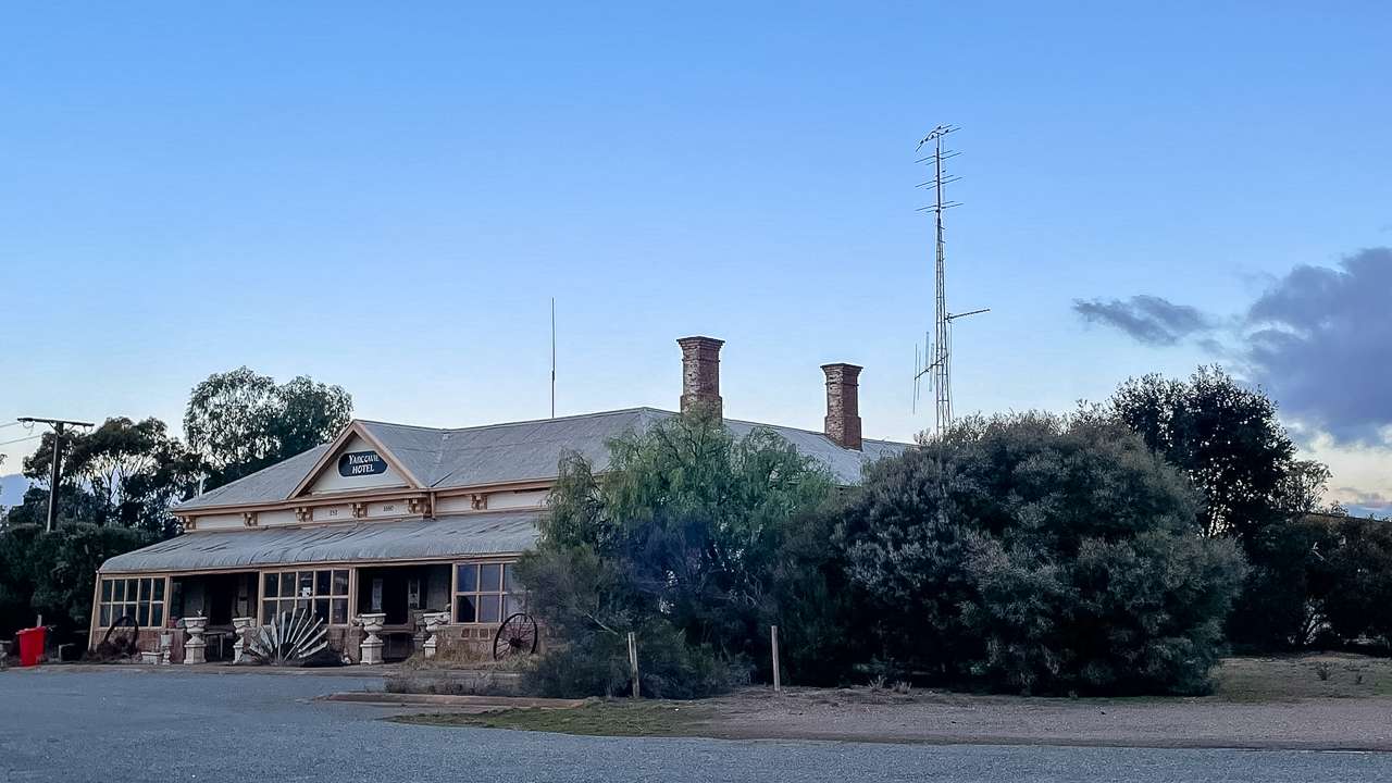
Yarcowie Hotel Now Closed And For Sale
Camping Rules And Regulations For Yarcowie Railway Track
Responsible camping practices ensure this Free Camping At Whyte Yarcowie location remains available for future travellers. The area operates on an honour system expecting campers to maintain cleanliness and respect the environment. Following Leave No Trace principles becomes essential for preserving this valuable resource.
Campfires are permitted during appropriate seasons. Campers must check current fire restrictions before lighting any fires. Additionally collecting firewood from the immediate area should be done sparingly to preserve the local ecosystem. There was none around in June 2025 when we were there. As a rule we never collect roadside firewood anyway.
Staying Safe During Yarcowie Camping
During our June visit, we experienced typical winter weather patterns for the region. Nights dropped to cool temperatures, requiring appropriate sleeping gear and heating systems. Therefore, checking weather forecasts before arrival helps with preparation and comfort.
Mobile phone coverage varies throughout the area, with some spots receiving stronger signals than others. Consequently, informing family or friends of your planned route and expected arrival times enhances safety. Additionally, carrying emergency communication devices provides backup options for remote area travel.
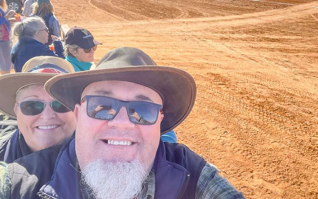
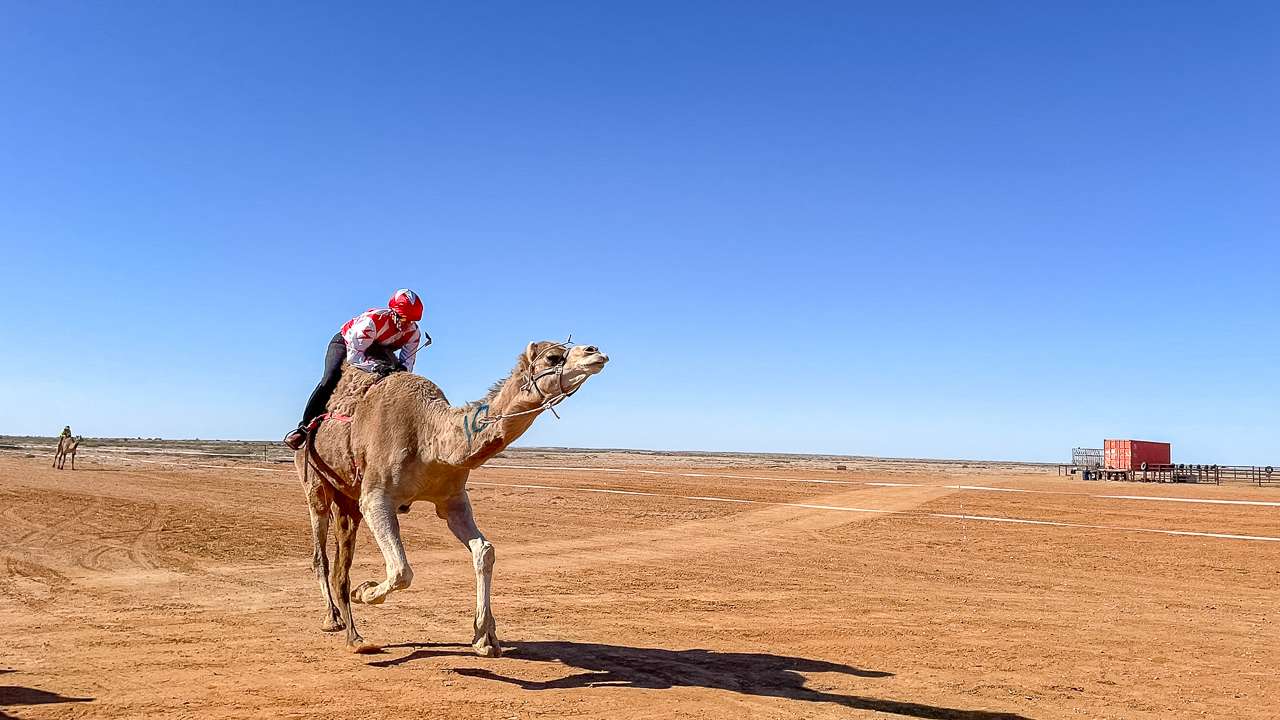
Journey Home From The Marree Camel Races
Our Whyte Yarcowie Free Camping stop served as the perfect overnight rest during our return journey from Marree’s famous camel races. The 30th anniversary event provided exceptional entertainment, including traditional camel racing and cultural celebrations.
The annual Marree Camel Cup celebrates Afghan heritage and the historical importance of cameleers in outback Australia. Additionally, the event features donkey races, fashion competitions, and live entertainment. Furthermore, free camping opportunities exist at the Marree Sports Ground during race weekend.
Planning Your Route From Marree
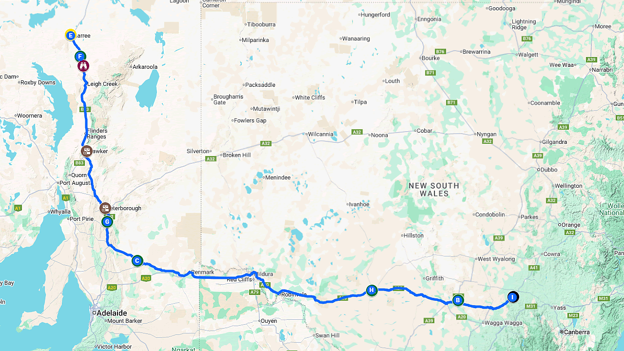
From the Yarcowie Railway Track camping area the journey from Marree covers approximately 300 kilometres of sealed road. Follow the road south from Marree toward Leigh Creek before connecting with the Barrier Highway. The route continues southwest through small towns to Whyte Yarcowie.
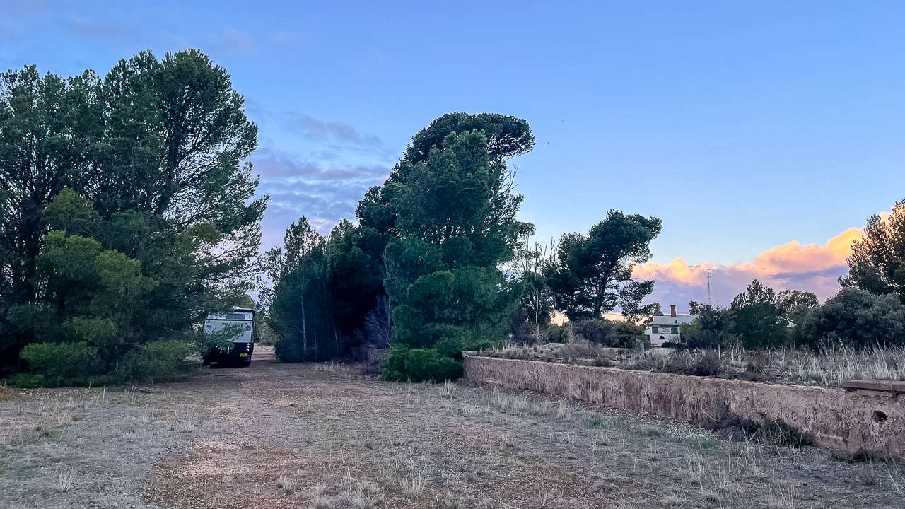
We Camped Overnight At The Abandoned Station At Yarcowie Railway Track Free Campsite
Fuel stops become important during this outback journey, with Leigh Creek providing services before heading south. Therefore, topping up fuel tanks and checking vehicle condition ensures safe passage through remote areas. Additionally, carrying extra water and emergency supplies provides security during outback travel.
Distances and Driving Times To Whyte Yarcowie SA
| City/Town |
Distance |
Driving Time |
| Adelaide, SA |
210km |
2 hr 15 min |
| Melbourne, VIC |
935km |
10 hr 30 min |
| Sydney, NSW |
1620km |
17 hr 30 min |
| Brisbane, QLD |
2265km |
24 hr |
| Perth, WA |
2900km |
31 hr |
| Peterborough, SA |
55km |
40 min |
| Burra, SA |
30km |
25 min |
| Terowie, SA |
8km |
10 min |
| Hallett, SA |
25km |
20 min |
| Port Augusta, SA |
200km |
2 hr 15 min |
| Clare, SA |
120km |
1 hr 30 min |
| Murray Bridge, SA |
230km |
2 hr 30 min |
| Morgan, SA |
90km |
1 hr 15 min |
| Jamestown, SA |
40km |
30 min |
| Marree, SA |
300km |
3 hr 30 min |
The Barrier Highway Experience
Travelling the Barrier Highway provides insight into South Australia’s agricultural heart and mining heritage. The highway connects the Riverland with the Spencer Gulf, passing through productive farming regions and historic towns. Therefore, observing landscape changes along the route illustrates the region’s diverse agricultural development.
Between Giles Corner and Burra, travellers pass through productive wheat-growing regions and historic mining areas. However, approaching Whyte Yarcowie from the east, the landscape transitions to pastoral country with scattered homesteads. Additionally, the route showcases the mining history that shaped the region’s development.
June Weather Patterns Along The Yarcowie Railway Track
June weather patterns create ideal conditions for Yarcowie Camping activities. Daytime temperatures remain comfortable for outdoor activities, while clear nights provide excellent stargazing opportunities. Therefore, packing layers accommodates the temperature variations between day and night.
Morning frost occasionally occurs during winter months, creating beautiful but temporary decorations on camping equipment. However, sunny days quickly warm the air, making outdoor cooking and relaxation comfortable. Additionally, low humidity levels reduce condensation problems inside camping vehicles.
Whyte Yarcowie Farmland
Exploring The Mid North Region From Whyte Yarcowie Free Camp
The Whyte Yarcowie area provides access to numerous Mid North attractions beyond simple Yarcowie Railway Track camping opportunities. Burra’s historic mining heritage offers fascinating day trips from the camping area. Furthermore, the town’s well-preserved 19th-century architecture tells stories of South Australia’s copper mining boom.
Terowie, located just 8 kilometres from Whyte Yarcowie, provides excellent historical exploration opportunities. Additionally, the town’s railway heritage and World War II history offer insights into South Australia’s transport development. Therefore, history enthusiasts find plenty to explore during extended stays in the region.
Local Services And Supplies For Whyte Yarcowie Camping
Terowie, located 8 kilometres north of the camping area, provides basic services including the historic Terowie Hotel. However, Burra offers more comprehensive shopping, dining, and mechanical services for travellers. Therefore, planning supply stops ensures comfortable camping experiences at the Yarcowie Railway Track.
The Burra Visitor Information Centre provides local maps, brochures, and current road condition updates. Additionally, staff members offer insider knowledge about the best local attractions and seasonal considerations. Furthermore, the centre stocks regional produce and souvenirs supporting local businesses.
Environmental Considerations For Yarcowie Railway Track
Protecting this Whyte Yarcowie Free Camp environment ensures future availability for all travellers. The semi-arid landscape requires careful water usage and waste management practices. Therefore, using grey water responsibly and minimising environmental impact becomes every camper’s responsibility.
Native vegetation provides habitat for local wildlife, including kangaroos, echidnas, and various bird species. Consequently, maintaining quiet hours and avoiding disturbance helps protect these animals. Additionally, keeping pets controlled prevents wildlife harassment and maintains peaceful camping conditions.
Sustainable Camping Practices At Free Camping At Whyte Yarcowie
During our stay, we practiced water conservation by using minimal amounts for washing and cleaning. Furthermore, we collected all waste for disposal at appropriate facilities rather than burying or burning materials. Therefore, following these practices preserves the area’s natural beauty for future campers.
Solar power generation reduces reliance on noisy generators, maintaining the peaceful atmosphere appreciated by fellow campers. Additionally, LED lighting minimises power consumption while providing adequate illumination for evening activities. Consequently, sustainable practices enhance everyone’s Whyte Yarcowie Camping experience.
Getting The Most From Your Yarcowie Railway Track Visit
Planning arrival times optimises your Free Camping At Whyte Yarcowie experience, particularly during popular travel periods. Weekends and school holidays see increased usage, making early arrival advantageous for securing preferred camping spots. Therefore, flexible travel schedules provide more accommodation options.
Exploring the surrounding area on foot reveals hidden gems invisible from the highway. Morning walks showcase native bird activity and provide excellent photography opportunities. Additionally, sunset viewing from elevated positions creates memorable moments during your Yarcowie Railway Track adventure.
Yarcowie Railway Campsite Between the Old Abandoned Railway Platforms
Future Of Yarcowie Railway Track Free Camping
Continued availability of this Whyte Yarcowie Free Camp depends on responsible usage by all visitors. Government authorities and local councils evaluate camping areas based on maintenance costs, environmental impact, and community feedback. Therefore, positive camping practices support long-term access to these valuable resources.
Supporting local businesses during visits demonstrates the economic benefits of maintaining free camping facilities. Additionally, providing positive feedback to tourism authorities helps justify continued support for these resources. Furthermore, participating in volunteer cleanup activities strengthens community relationships and environmental protection.
The Historic Railway Legacy
The Yarcowie Railway Track camping area occupies a significant position in South Australia’s railway history. The Roseworthy-Peterborough railway line opened through Whyte Yarcowie in 1880, connecting the town to Adelaide and northern regions. Regular passenger services operated until the line’s closure in 1988, marking the end of nearly 110 years of railway operations.
Today’s camping area utilises the former railway corridor, allowing visitors to appreciate the historic significance while enjoying modern camping facilities. The flat, level ground that once supported railway infrastructure now provides excellent camping surfaces for caravans and motorhomes. Therefore, campers can literally follow in the tracks of South Australia’s railway pioneers.
This Free Camping At Whyte Yarcowie location represents the best of Australian camping culture – welcoming spaces where travellers connect with the landscape, history, and each other. Amanda and I treasure the memories created during our overnight stop, from the peaceful evening settling in among the historic railway remnants to the crisp morning departure toward Adelaide. Therefore, we encourage fellow travellers to discover this special place while respecting its railway heritage, natural beauty, and ensuring its preservation for future generations of camping enthusiasts exploring the Yarcowie Railway Track.