Oodnadatta Track Road Conditions (2026) – Access Latest Updates
Oodnadatta Track Road Conditions (2026) – Access Latest Updates
Updated May 2026: all links and information have been checked and verified.
We’ve done six separate trips along the Oodnadatta Track between 2016 and 2025 and the road conditions have been different each time. Oodnadatta Track road conditions can change quickly. The list below outlines the best places to get current track conditions.
Where Can I Find Reliable Oodnadatta Track Road Condition Information?
- The Oodnadatta Track Facebook Group – https://www.facebook.com/groups/356743357474636/
- DIT Official Website – https://dit.sa.gov.au/outbackroads
- DIT Facebook Page – https://www.facebook.com/DFITSA
- DIT Twitter Updates – https://twitter.com/DFIT_SA
- Automated Phone Service – 1300 361 033
- William Creek Hotel – (08) 8670 7880
- Marree Hotel – (08) 8675 8344
- Pink Roadhouse – 1800 802 074
Oodnadatta Track Road Conditions
Multiple resources provide current Oodnadatta Track road conditions, including the official South Australian Department for Infrastructure and Transport website, automated phone services, local businesses along the route and mobile applications designed for outback travel. These resources offer real-time updates on closures, restrictions and weather related impacts that can change rapidly in outback conditions.
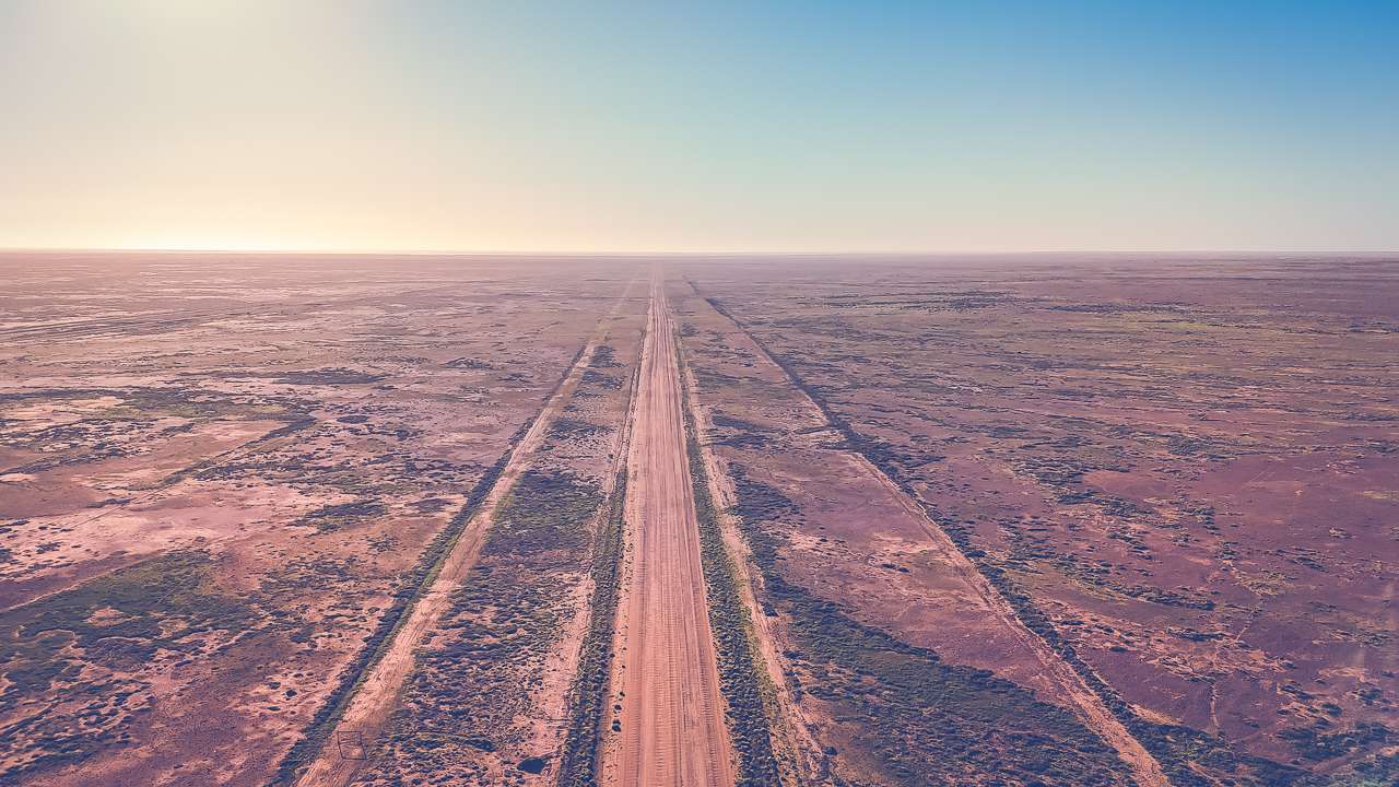
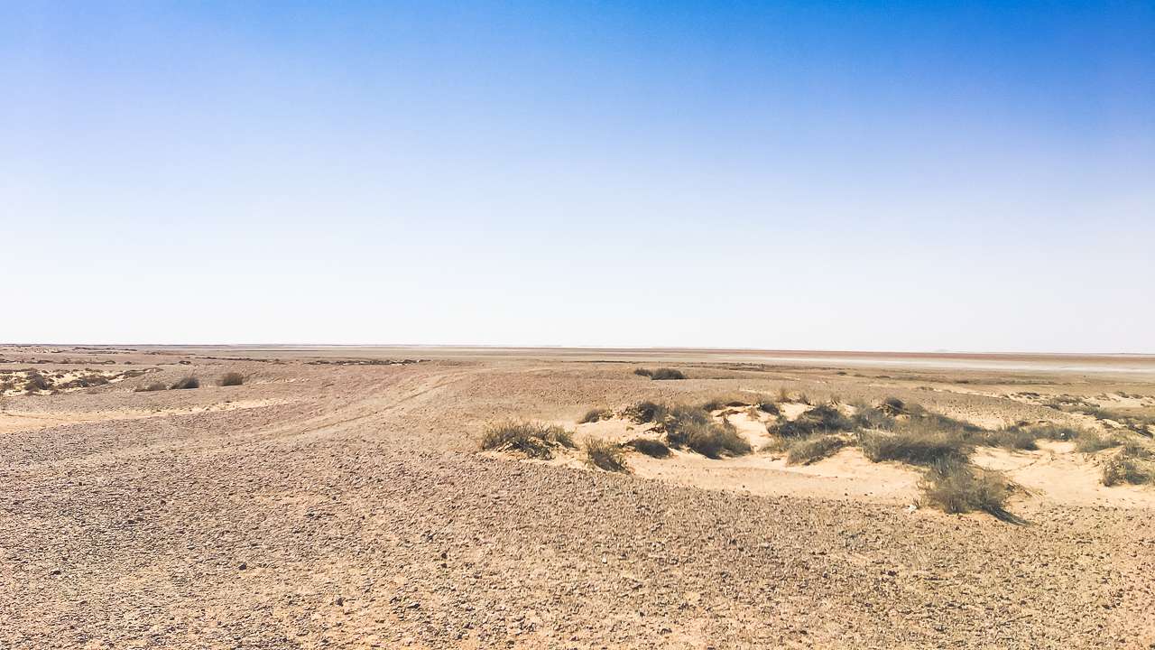
Oodnadatta Track Aerial View Near Curdimurka
Official Government Resources For Oodnadatta Track Road Conditions
The South Australian Department for Infrastructure and Transport maintains the most authoritative source for outback road information. Their comprehensive Outback Roads Warnings website provides real time updates on Oodnadatta Track road conditions, road closures, restrictions and warnings across northern South Australia. Additionally, this official platform updates whenever conditions change, ensuring travellers receive the most current information available.
How Much Rain Does It Take To Close The Oodnadatta Track
Even small amounts of rainfall can dramatically impact track accessibility. Historical records show that as little as 5 millimetres of rain has caused temporary closures of sections between major towns. The track’s surface can become extremely hazardous when wet creating conditions that can strand vehicles for days. Driving on the track when wet can cause damage to the road surface that is costly to repair in both time and money.
The Department for Infrastructure and Transport monitors rainfall patterns closely and implements closures proactively to prevent travellers from becoming stranded. Consequently, understanding rainfall thresholds helps travellers appreciate why seemingly minor weather events can have major impacts on accessibility.
Automated Phone Services For Road Updates
Travellers can access recorded road condition reports by calling 1300 361 033 which provides 24 hour automated updates. This service covers all major outback routes including detailed information about the Oodnadatta Track. The automated system updates regularly to reflect changing conditions across the region.
The phone service proves particularly valuable for travellers without reliable internet access in remote areas. Additionally, many experienced outback travellers recommend calling this number before departing and again at major stops along the route.
Technology Solutions For Tracking Oodnadatta Track Conditions Today
Modern technology has revolutionised how travellers access current road condition information. QR codes installed on roadside signs throughout the outback provide direct links to the latest warnings and closures. These codes work wherever mobile phone coverage exists giving travellers immediate access to updated information.
Mobile Applications And Digital Resources
The ExplorOz Traveller application offers comprehensive offline mapping capabilities specifically designed for Australian outback conditions. This platform includes community contributed road reports and track conditions from recent travellers. Similarly, the application provides valuable insights into current track conditions that official sources might not immediately reflect.
Drive Weather applications help travellers understand weather patterns along their planned route. These specialised tools predict conditions that could affect road accessibility hours or days in advance. Consequently, proactive planning using weather applications can prevent travellers from encountering unexpected closures.
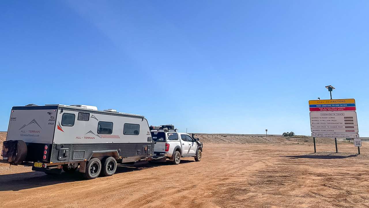
Us At The Oodnadatta Track Sign At Marree In 2024 With QR Code
Is The Oodnadatta Track Open – Real Time Monitoring
Real time monitoring systems provide continuous updates on track accessibility. The official DIT website features an interactive map showing current road statuses using colour-coded indicators. Green sections indicate open roads, while red areas show complete closures to all vehicle types.
However satellite outages occasionally disrupt automatic updates to roadside signs. During these periods, QR codes on signs provide alternative access to current information. Travellers should always verify conditions through multiple sources before departing.
Local Business Network For Current Road Information
William Creek Hotel
The William Creek Hotel serves as a crucial information hub for track conditions. Staff members receive regular updates from travellers and maintain close contact with maintenance crews. Moreover, the hotel’s strategic location halfway along the track makes it an ideal source for current conditions in both directions.
Travellers can contact the William Creek Hotel at (08) 8670 7880 for detailed local knowledge. The hotel staff understand seasonal variations and can provide advice about vehicle suitability for current conditions. Additionally, they offer insights into fuel availability and accommodation options along the route.
Marree Hotel
The historic Marree Hotel, located at the southern terminus of the track, provides invaluable local intelligence. Staff members regularly discuss road conditions with pastoralists and travellers who use the route daily. Furthermore, their experience with seasonal patterns helps them provide realistic assessments of track conditions.
Hotel representatives can advise on tyre pressures, travel times, and current hazards along specific sections. They also maintain awareness of alternative routes when main sections experience closures. Consequently, calling ahead to Marree Hotel often provides insights unavailable through official channels.
Oodnadatta Pink Roadhouse
The Oodnadatta Pink Roadhouse operates a toll free information service on 1800 802 074 . This service provides current track conditions from the northern perspective. Staff members receive regular reports from freight operators and maintenance crews working on the track.
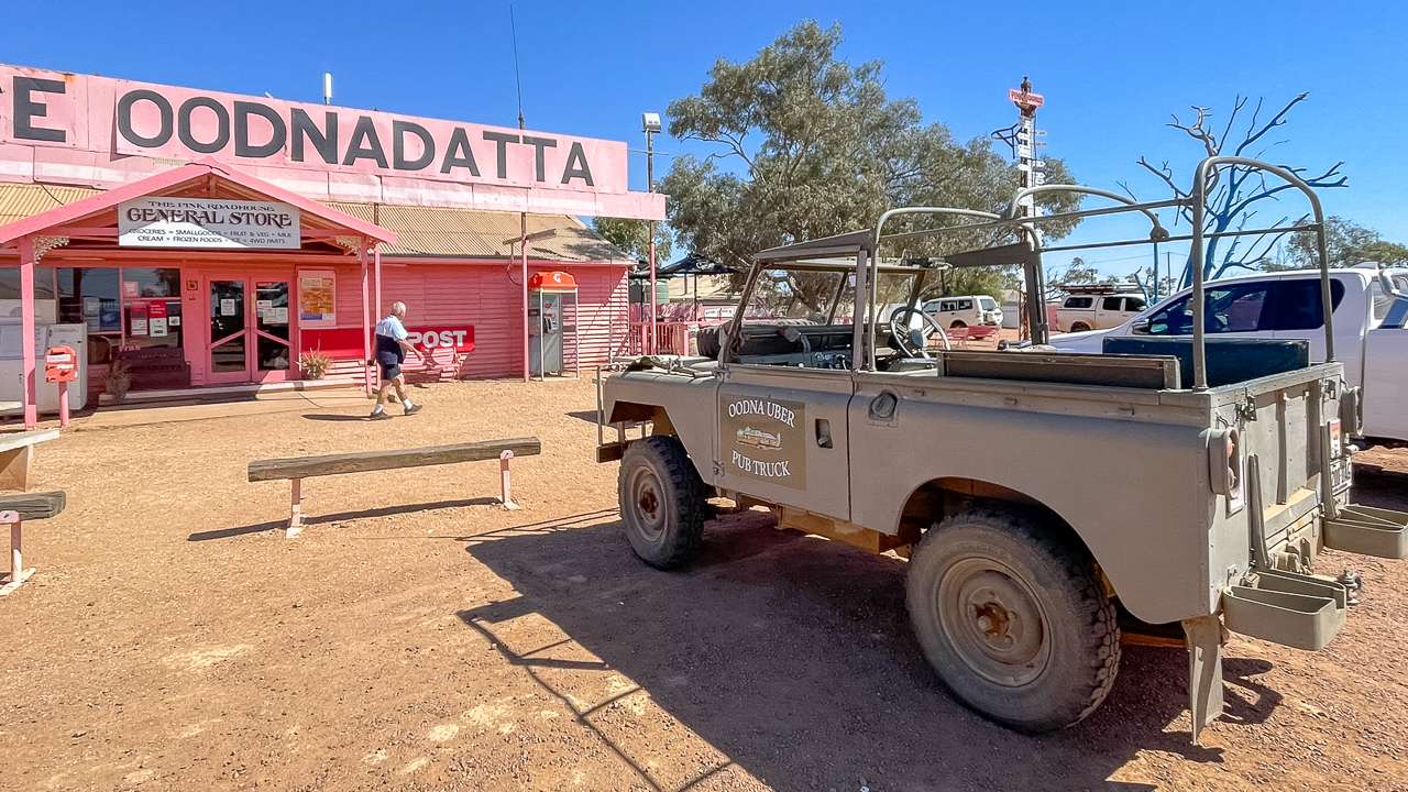
The Pink Roadhouse At Oodnadatta
Weather Monitoring For Oodnadatta Track Planning
Bureau Of Meteorology Resources
The Bureau of Meteorology provides essential weather forecasting for outback regions. Their Oodnadatta weather station offers current conditions and forecasts that directly impact track accessibility. Additionally, rainfall warnings help travellers understand when conditions might deteriorate rapidly.
Understanding weather patterns proves crucial for successful track navigation. Even moderate rainfall can transform well-maintained sections into impassable quagmires within hours. Therefore, monitoring weather forecasts should form an integral part of pre-departure planning.
Rainfall Impact Assessment
Different sections of the track respond differently to rainfall events. The stretch between Marla and Oodnadatta includes several major floodways that become impassable during significant rain events. Recent infrastructure improvements have enhanced these sections, but they remain vulnerable to major weather events.
Clay surfaces throughout the middle sections become extremely slippery when wet. These areas can remain hazardous for days after rainfall events cease. Consequently, understanding which sections face the greatest weather-related risks helps travellers plan accordingly.
| Resource Type | Contact Details | Information Provided | Update Frequency |
|---|---|---|---|
| DIT Official Website | dit.sa.gov.au/outbackroads | Real-time closures, restrictions, warnings | As conditions change |
| Automated Phone Service | 1300 361 033 | Recorded road conditions | Multiple daily updates |
| William Creek Hotel | (08) 8670 7880 | Local conditions, fuel, accommodation | Real-time local knowledge |
| Marree Hotel | (08) 8675 8344 | Southern access conditions | Daily traveller reports |
| Pink Roadhouse | 1800 802 074 | Northern access conditions | Regular operator updates |
| Bureau of Meteorology | bom.gov.au | Weather forecasts, warnings | Hourly weather updates |
The Department for Infrastructure and Transport maintains active social media channels providing regular updates. Their Facebook page ( facebook.com/DFITSA ) shares maintenance schedules and emergency closures. Twitter updates ( @DFIT_SA ) offer immediate notifications when conditions change rapidly.
Social media channels often provide faster updates than official websites during emergency situations. Maintenance crews post updates directly from work sites, giving travellers immediate awareness of changing conditions. Therefore, following these channels provides an additional layer of current information.
Facebook Group
There is a currently a very active Oodnadatta Track Facebook group that has a lot of posts and current up to date road conditions. Join the group if you want to see what they have going on.
ExplorOz Community Contributions
The ExplorOz community platform hosts active discussions about current track conditions. Experienced travellers share recent experiences and provide warnings about specific hazards. Moreover, these community reports often include photographs showing current road surfaces and obstacles.
Community contributions supplement official information with practical insights from recent travellers. Members frequently post updates about corrugations, creek crossings, and vehicle suitability for current conditions. Consequently, consulting community forums provides valuable real-world perspectives on track conditions.
Emergency Communication And Safety Resources
Emergency Contact Networks
Emergency communication becomes critical when travelling remote sections of the Oodnadatta Track. The Royal Flying Doctor Service maintains emergency contact numbers for outback regions. Additionally, the Automobile Association emergency service (131 111) provides 24-hour breakdown assistance.
Satellite communication devices offer reliable contact options in areas without mobile coverage. Personal locator beacons provide emergency services with precise location information when assistance becomes necessary. Therefore, carrying appropriate emergency communication equipment forms an essential safety requirement.
Is The Oodnadatta Track Open – Emergency Closures
Emergency closures can occur without warning when conditions deteriorate rapidly. Maintenance crews prioritise safety over convenience, implementing closures proactively when risks increase. Flash flooding events can close multiple sections simultaneously, stranding travellers at intermediate locations.
Understanding emergency procedures helps travellers respond appropriately when unexpected closures occur. Local businesses along the route provide accommodation and supplies during extended closure periods. Furthermore, maintaining flexible travel schedules allows for delays caused by emergency situations.
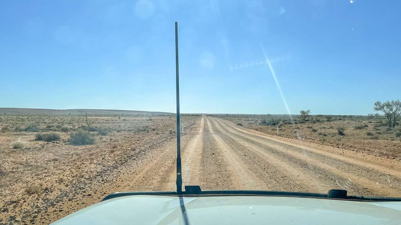
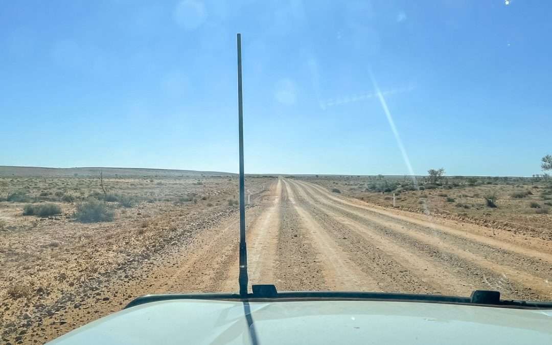
Us Travelling The Oodnadatta Track In Good Condition In 2022
Seasonal Considerations For Track Conditions
Oodnadatta Track Conditions Today – Seasonal Variations
Track conditions vary dramatically between seasons, affecting accessibility and vehicle requirements. Winter months generally provide the most stable conditions, with minimal rainfall and moderate temperatures. However, overnight frosts can create slippery surfaces during early morning hours.
Summer conditions present extreme heat challenges, with temperatures regularly exceeding 40 degrees Celsius. Additionally, summer storms can produce intense rainfall that quickly transforms track surfaces. Spring and autumn offer transitional conditions that require careful weather monitoring.
Oodnadatta Track Road Conditions Photo Gallery
Oodnadatta Track In Good Condition
Oodnadatta Track In Good Condition
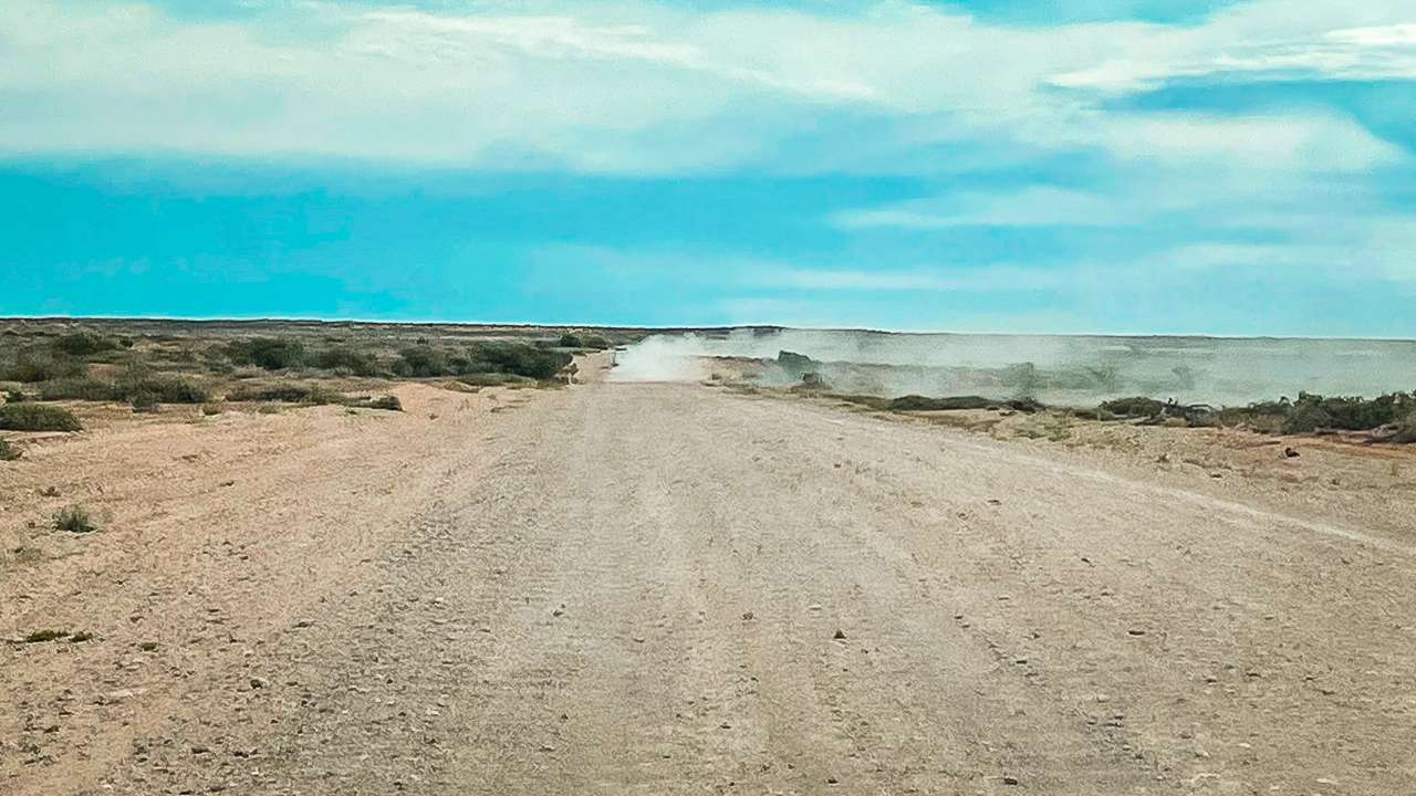
Dry And Dusty Road Conditions On The Oodnadatta Track
Dry And Dusty Road Conditions On The Oodnadatta Track
Oodnadatta Track Aerial View Near Curdimurka
Oodnadatta Track Aerial View Near Curdimurka
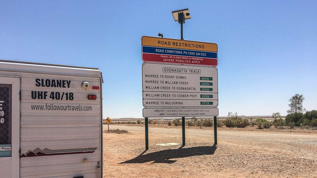
Oodnadatta Track Sign At Marree In 2019 Before QR Code
Oodnadatta Track Sign At Marree In 2019 Before QR Code

Oodnadatta Track Road Conditions A Bit Of Light Drizzle
Oodnadatta Track Road Conditions A Bit Of Light Drizzle
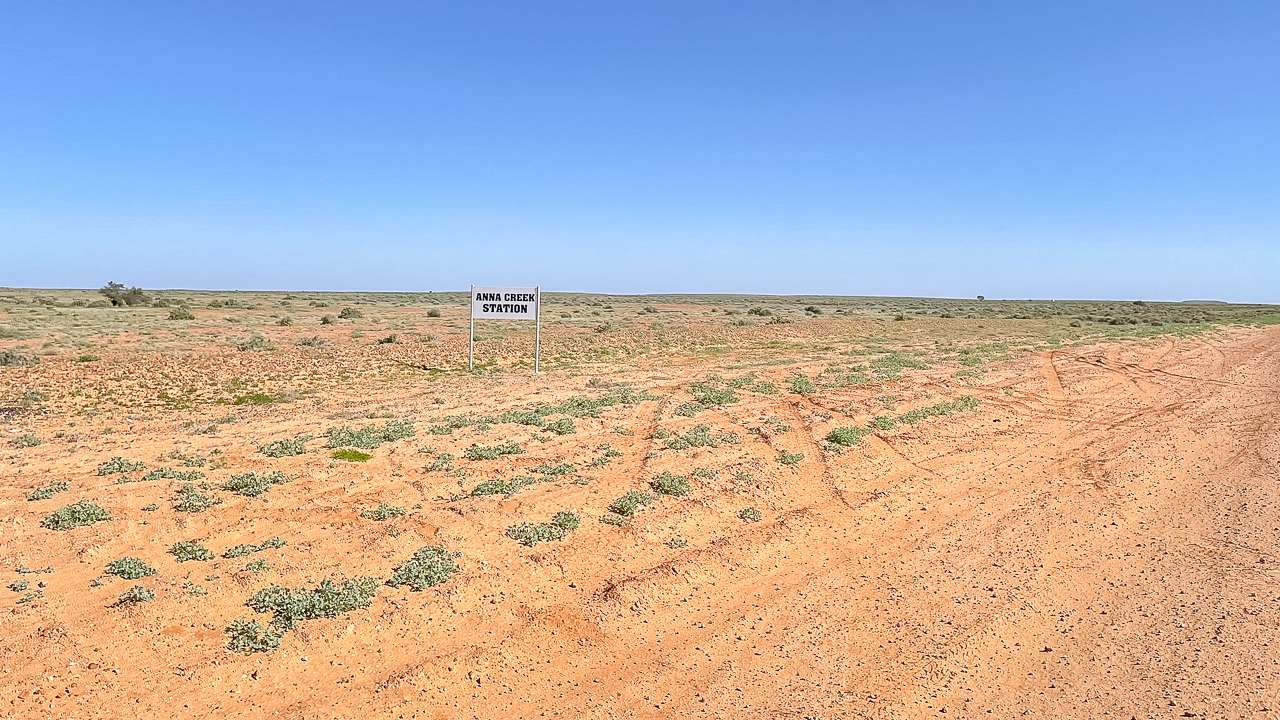
Road Conditions On The Oodnadatta Track Shortcuts To Anna Creek Station
Road Conditions On The Oodnadatta Track Shortcuts To Anna Creek Station
Oodnadatta Track Sign At Marree In 2024 With QR Code
Oodnadatta Track Sign At Marree In 2024 With QR Code
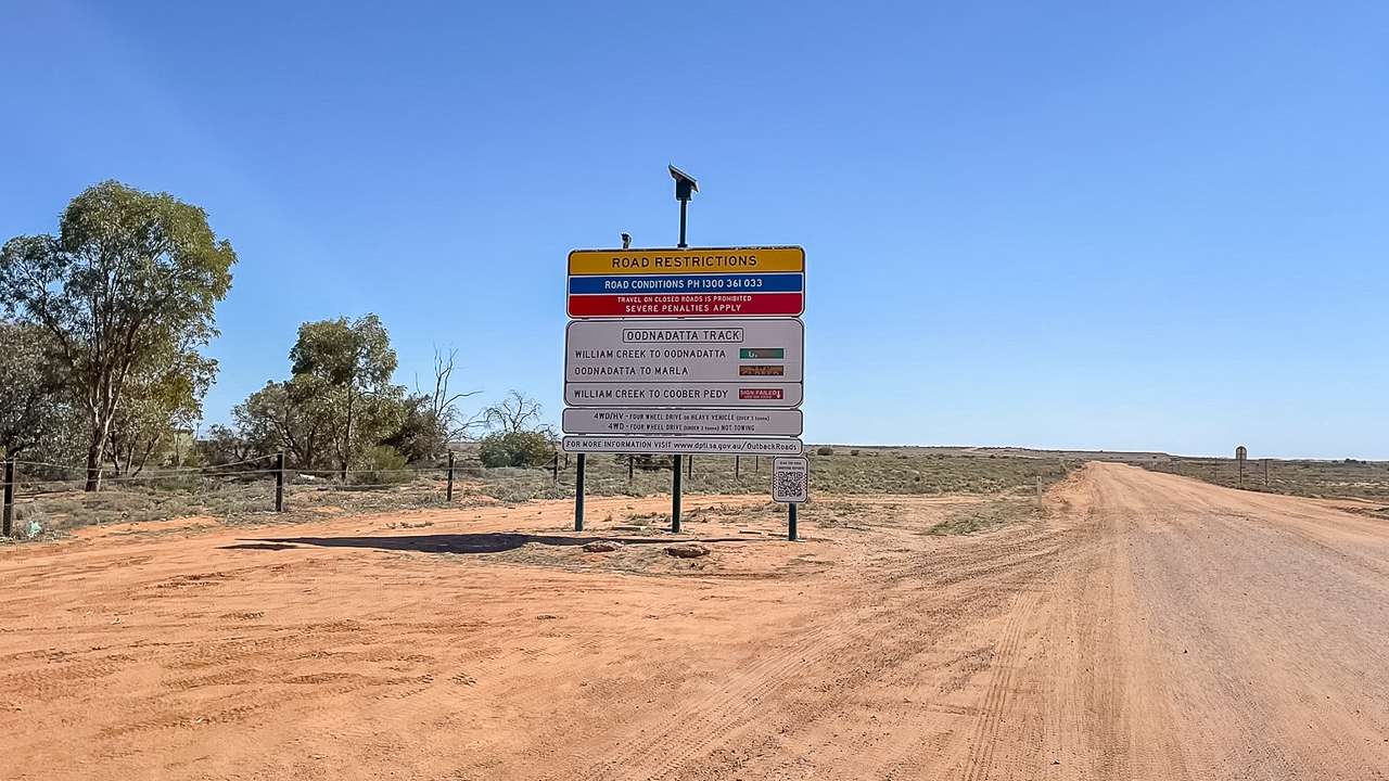
Oodnadatta Track Road Conditions Sign Fail
Oodnadatta Track Road Conditions Sign Fail
🗺️ Oodnadatta Track Full Driving Guide (2026)
🗺️ Oodnadatta Track Campsites Map & Full List (2026 Guide)
🗺️ Oodnadatta Track Fuel Stops Complete Guide (2026)
🗺️ Oodnadatta Track Road Conditions – Access Latest Updates (2026)
🗺️ Lake Eyre Travel Guide (2026)
🗺️ William Creek Travel Guide (2026)
🗺️ Best Things To Do On The Oodnadatta Track Guide (2026)
Internal guide: 🗺️ Read the full Oodnadatta Track driving guide here
Internal guide: 🗺️ Oodnadatta Track Campsites Map & Full List (2026 Guide)