Stuart Creek Campsite – Oodnadatta Track
Stuart Creek Campsite – Oodnadatta Track
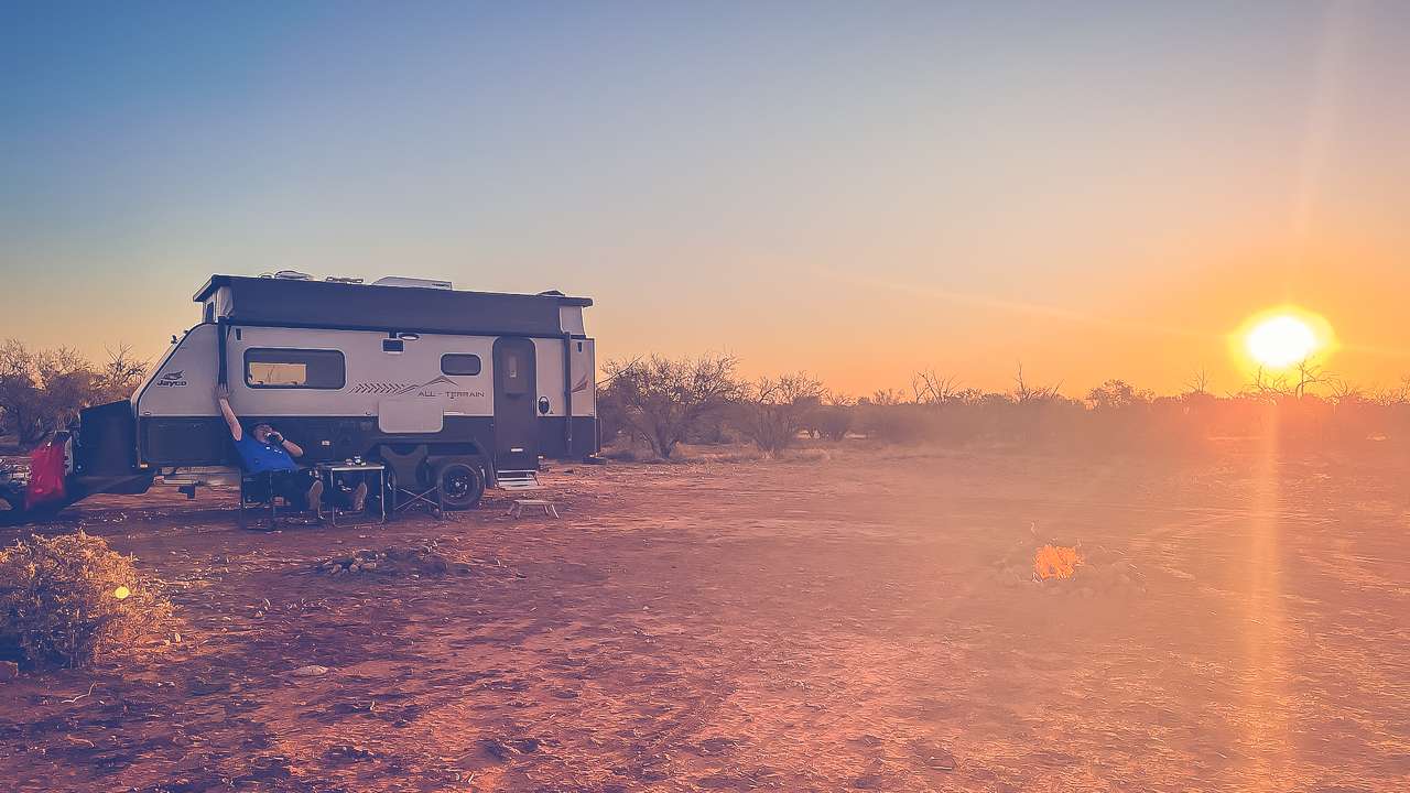
We’ve stayed at Stuart Creek a few times and it’s been a great campsite. Free camping just off the Oodnadatta Track and it’s usually quiet which is a hard thing to find these days.
Table Of Contents
Stuart Creek Stay Campsite Location And Info At A Glance
Cost: Free
Type: Free Camping / Bush Camping
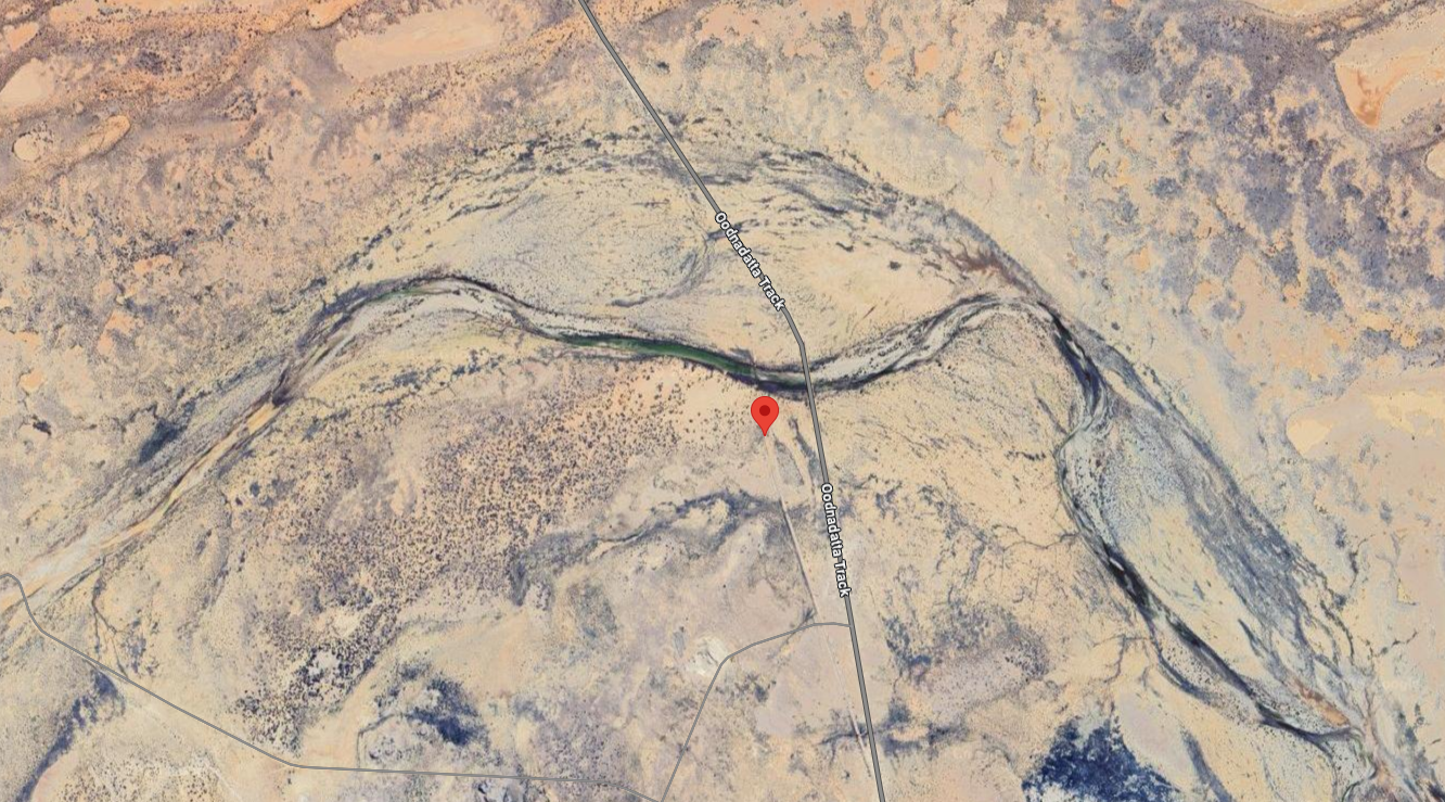
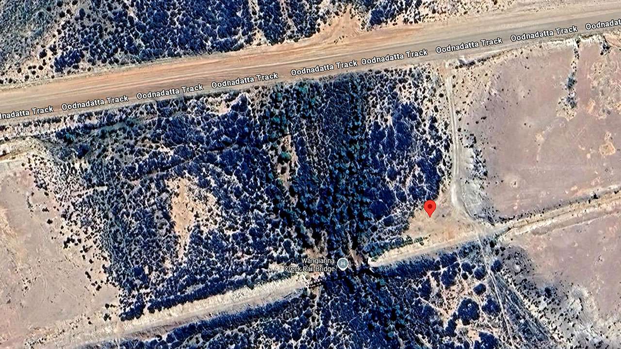
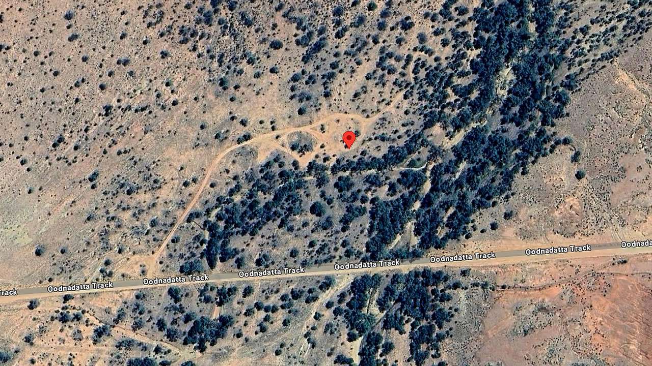
Location: -29.489504°, 137.076053°
Pet Friendly: Yes
Distance From Marree: 102km
Distance From Oodnadatta: 303km
Distance From Marla: 557km
Finding It
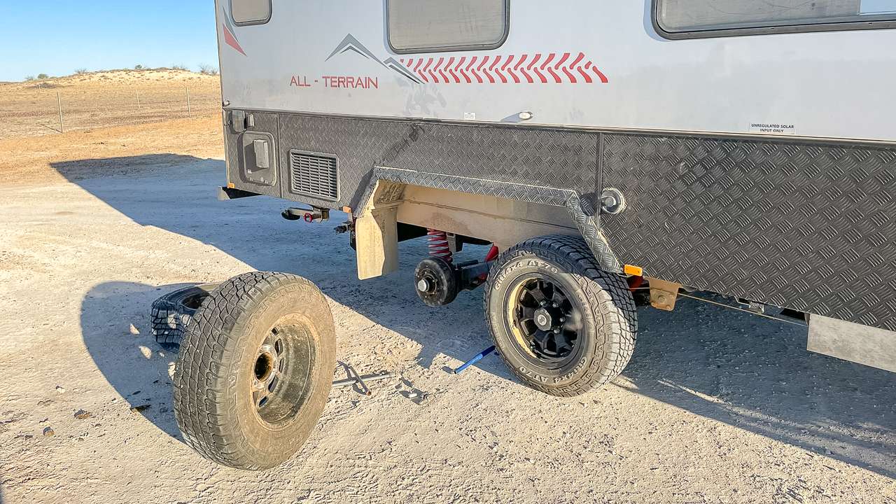
Turn off just before the concrete causeway – you can’t miss it if you’re paying attention. Track’s normally fine but turns into a real mess when it’s been raining. Saw a big motorhome get through last time we were there but he was taking it pretty easy.
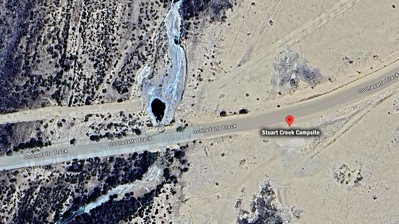
Stuart Creek Campsite Oodnadatta Track
The Camp
- Big open area, well away from the road so you won’t hear anything going past overnight.
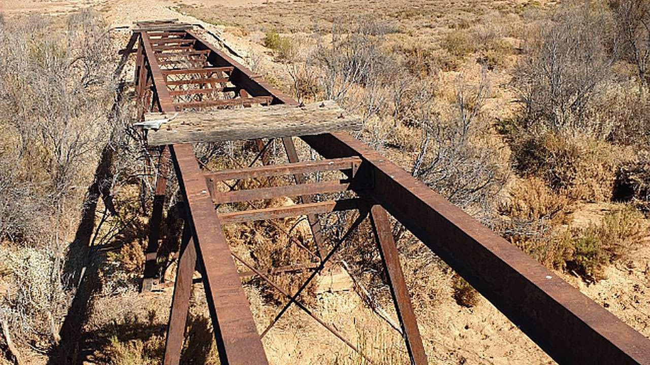
- Creek runs along one side but it’s dry more often than not.
- When there’s water in the creek it’s good for the birds – have seen heaps of zebra finches and some other small stuff we couldn’t identify.
- Usually pretty quiet. Sometimes you’ll have it completely to yourself, other times there might be another group or two but there’s so much space that it doesn’t matter.
Facilities At The Stuart Creek Stay Campsite
- There are no facilities here. There are no toilets, bins or water so plan accordingly.
- Bit of dead timber in the creek bed for fires but that’s about it. Don’t go cutting anything off trees whether they look dead or not – rangers don’t appreciate that sort of thing and you won’t enjoy the fine.
- No shade either, which makes summer pretty unpleasant. Even in winter you’ll want a decent hat during the day.
What’s Not To Like
- Flies are terrible when there’s no breeze. Had to eat dinner inside the caravan one evening because they were driving us mad.
- Track gets boggy after rain. Wouldn’t attempt it in a 2WD if it’s been wet recently.
- Toilet paper gets dug up by animals and scattered everywhere if you bury it. Either burn it or take it with you.
Our Take On The Stuart Creek Stay Campsite On The Oodnadatta Track
Handy spot when everywhere else is full but it’s actually pretty good in its own right. Easy to get to, plenty of room, proper outback feel without the hassle of difficult tracks. Just bring everything you need and don’t leave a mess for the next people.
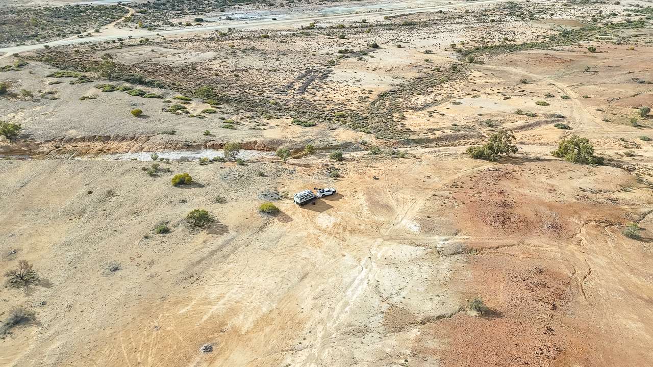
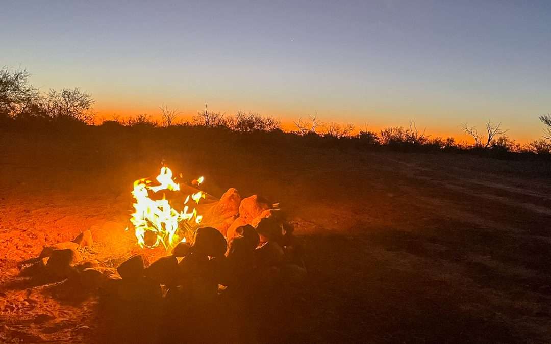
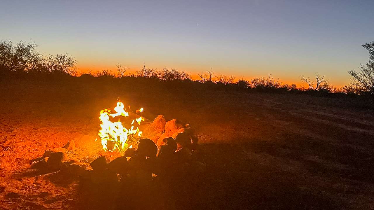
Us Camping On The Oodnadatta Track
🗺️ Oodnadatta Track Full Driving Guide (2026)
🗺️ Oodnadatta Track Campsites Map & Full List (2026 Guide)
🗺️ Oodnadatta Track Fuel Stops Complete Guide (2026)
🗺️ Oodnadatta Track Road Conditions – Access Latest Updates (2026)
🗺️ Lake Eyre Travel Guide (2026)
🗺️ William Creek Travel Guide (2026)
Internal guide: 🗺️ Read the full Oodnadatta Track driving guide here
Internal guide: 🗺️ Oodnadatta Track Campsites Map & Full List (2026 Guide)