Mound Springs On The Oodnadatta Track
Mound Springs On The Oodnadatta Track
Amanda and I have visited the mound springs several times over the years. We visited The Bubbler and Blanche Cup in 2016, 2019 and 2022. Then in 2024 we stopped again at the Strangways Springs area and saw the mound springs there while travelling the Oodnadatta Track.
Each visit looked a little different. Water levels changed, tracks varied, and the wetlands shifted with the seasons. Even so, the springs always stood out as one of the most important natural sites along the track.
The mound springs along the Oodnadatta Track are one of the more interesting stops in outback South Australia. Most people come for the old Ghan history and remote scenery. However, the mound springs often end up being a highlight of the trip.

My Photo Of The Bubbler Mound Spring Taken In 2022
Table Of Contents
- What Are Mound Springs?
- Mound Springs On The Oodnadatta Track
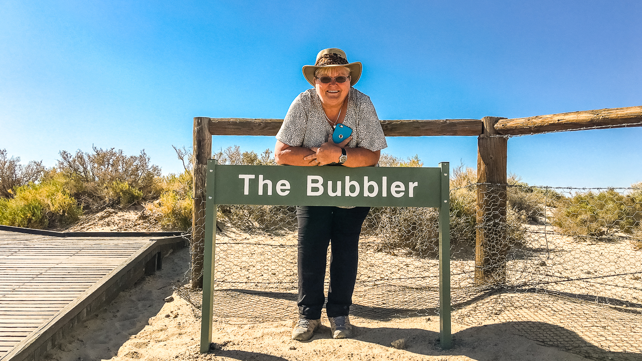
- The Bubbler And Blanche Cup
- Why The Springs Matter
- Strangways Springs
- Best Time To Visit The Mound Springs On The Oodnadatta Track
- Camping Near The Mound Springs On The Oodnadatta Track
- Things We Noticed Across Multiple Visits
- Final Thoughts
- FAQs About The Mound Springs On The Oodnadatta Track
- What are mound springs on the Oodnadatta Track?
- Where are the main mound springs located on the Oodnadatta Track?
- Can you swim in the mound springs?
- Are the mound springs easy to access with a caravan?
- What is the best time of year to visit the mound springs?
- How far are The Bubbler and Blanche Cup from Marree?
- Why are mound springs important?
- What makes The Bubbler different from Blanche Cup?
- Is Strangways Springs worth visiting?
- Where can you camp near the mound springs?
- Related Guides
What Are Mound Springs?
Mound springs are natural springs fed by the Great Artesian Basin. Water travels underground for thousands of years before reaching the surface through cracks in the earth.
Over long periods minerals build up around the water source. As a result, small hills or “mounds” form around the spring outlets.
These springs were very important to Aboriginal people, early explorers, railway workers and cattle stations. In such a dry part of Australia, permanent water changed everything.
Today, many mound springs remain protected because they support rare plants and animals found nowhere else.
Friends Of Mound Springs Information
Amanda At The Top Of The Bubbler Boardwalk
Mound Springs On The Oodnadatta Track
The best known mound springs on the Oodnadatta Track are:
| Mound Spring | Location | What To Expect | Access |
|---|---|---|---|
| The Bubbler | Wabma Kadarbu Conservation Park | Bubbling artesian water and wetland area | Easy walk from car park |
| Blanche Cup | Near The Bubbler | Large mound spring with boardwalk access | Easy walk |
| Strangways Springs | Near Strangways ruins | Smaller springs with railway history nearby | Dirt track and short walks |
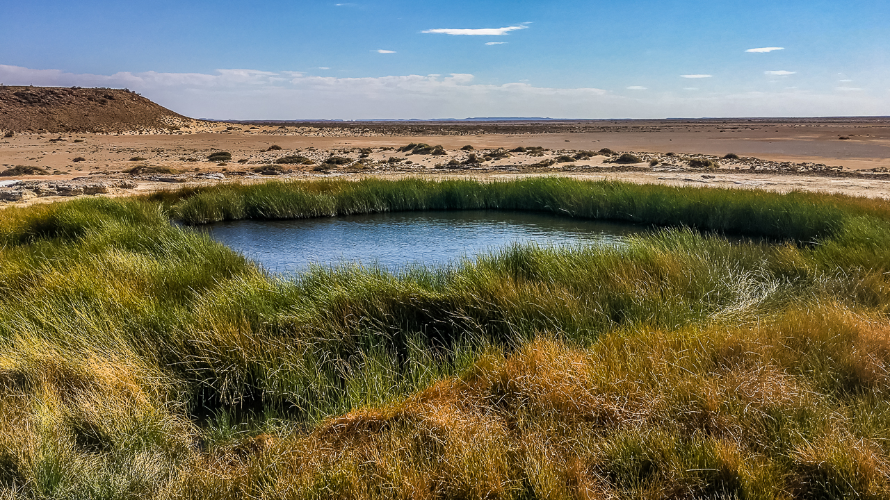
The Bubbler And Blanche Cup
The Bubbler and Blanche Cup are the easiest mound springs to visit on the Oodnadatta Track. They sit inside Wabma Kadarbu Mound Springs Conservation Park between Marree and William Creek.
The turn off is about 10km east of Coward Springs and roughly 130km north west of Marree. The access road is suitable for most vehicles in dry conditions however it can be very corrugated and rough. When we visited the first time we towed the van in all the way. The second two visits we unhooked the van and went in with just the car. When you turn in to the access road just to the left is a big open area you can unhitch and leave your caravan.
Official Mound Springs Visitor Information
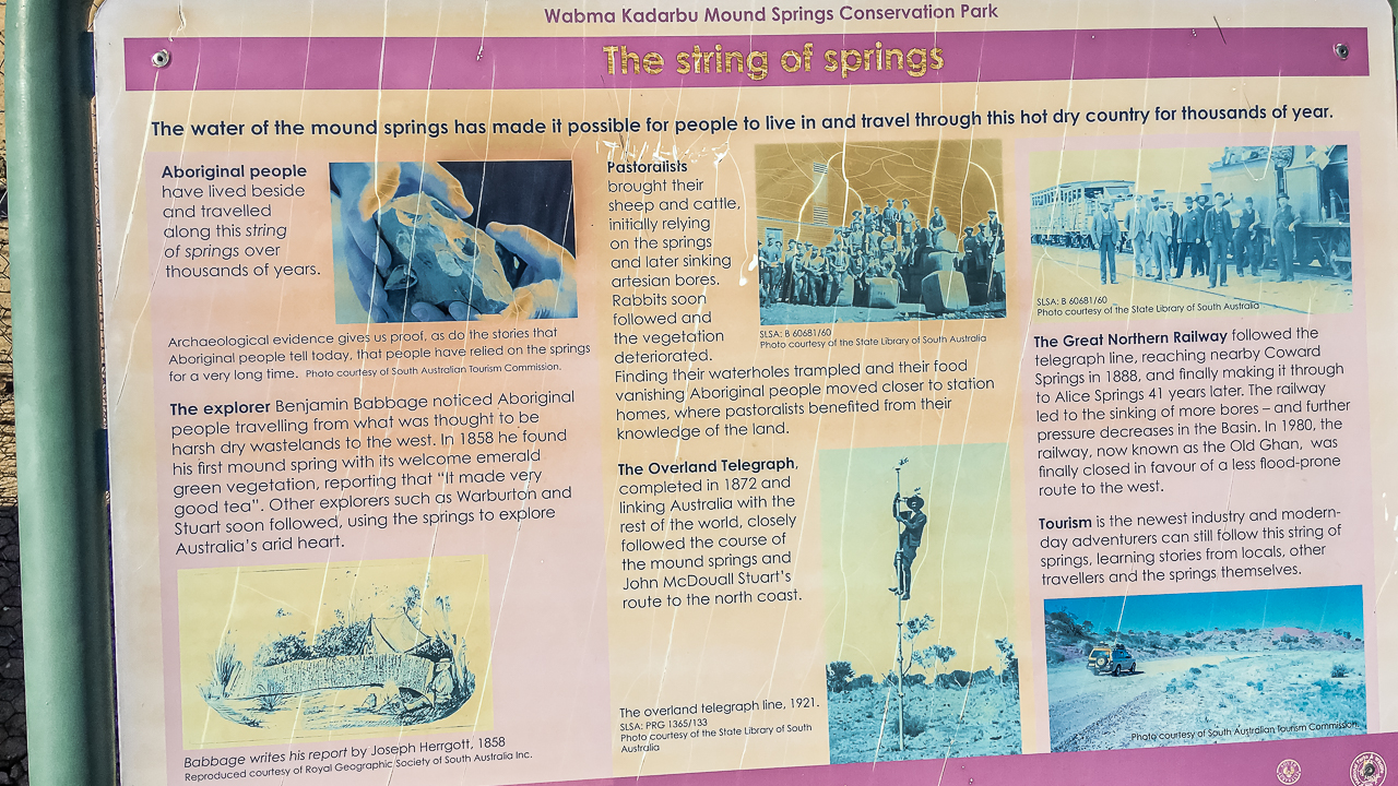
Blanche Cup Noticeboard In Wabma Kadarbu Mound Springs Conservation Park
We find these springs worth visiting most times we travelled the track. Even after several trips, the contrast between dry desert country and bright green wetlands still stood out.
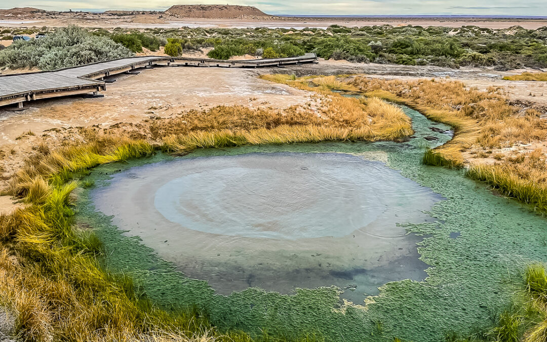
The Bubbler is known for the bubbling action caused by gases rising through the artesian water. At times the bubbling is strong. During other visits it was more subtle. Water flow can vary between years depending on pressure changes in the basin.
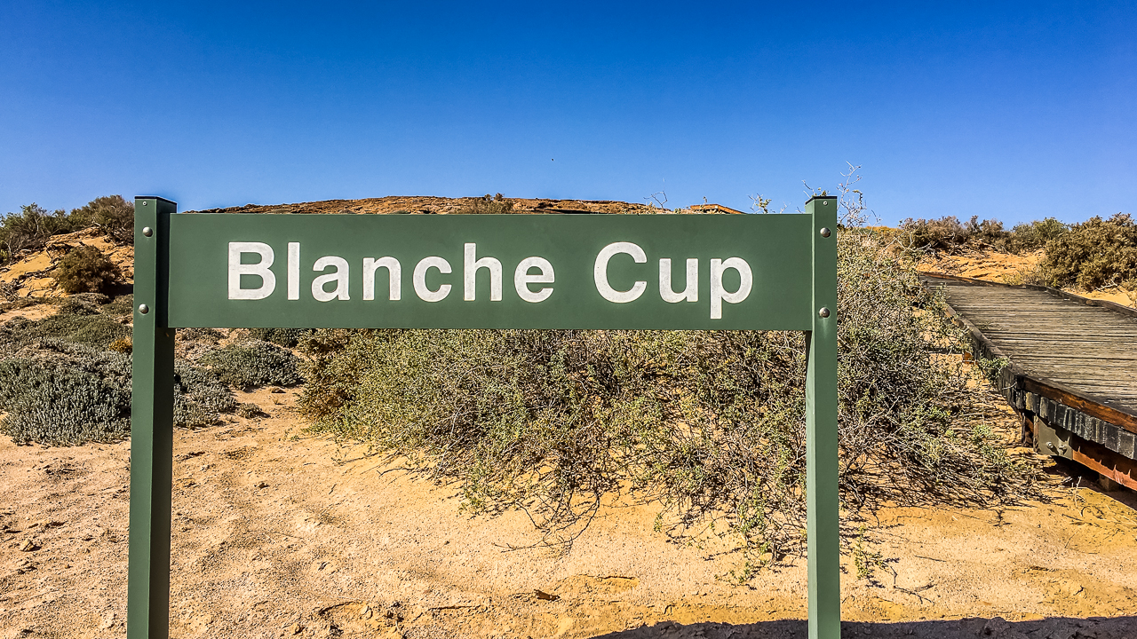
Blanche Cup looks very different. It has a larger mound with a more open pool structure. The boardwalk gives a good view without damaging the fragile ground around the spring.
Importantly, visitors should stay on the marked tracks and boardwalks. The ground near the springs is soft and easily damaged. Swimming is not allowed.
Wabma Kadarbu Conservation Park Information
Why The Springs Matter
The mound springs are far more than a roadside stop.
For thousands of years, Aboriginal groups relied on these permanent water sources. The springs also played a major role during European exploration and the construction of the old Ghan railway.
Without reliable water, many sections of inland Australia could not support travel or settlement.
The springs also support rare wildlife. Some tiny snails and aquatic species only exist in single spring systems. That makes these sites environmentally important as well as historically important.
More About The Environmental Importance Of Mound Springs
Compared with many outback attractions, the mound springs are easy to access and do not require long walks. That makes them popular with caravanners, camper trailer travellers and families.

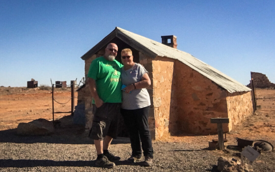
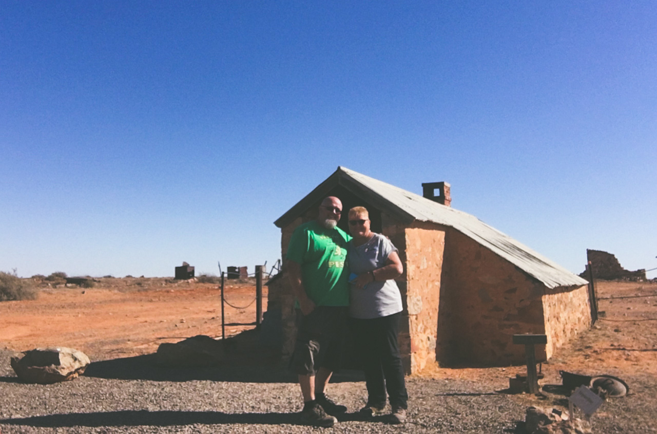
Amanda And I In Front Of The Bubbler Mound Spring
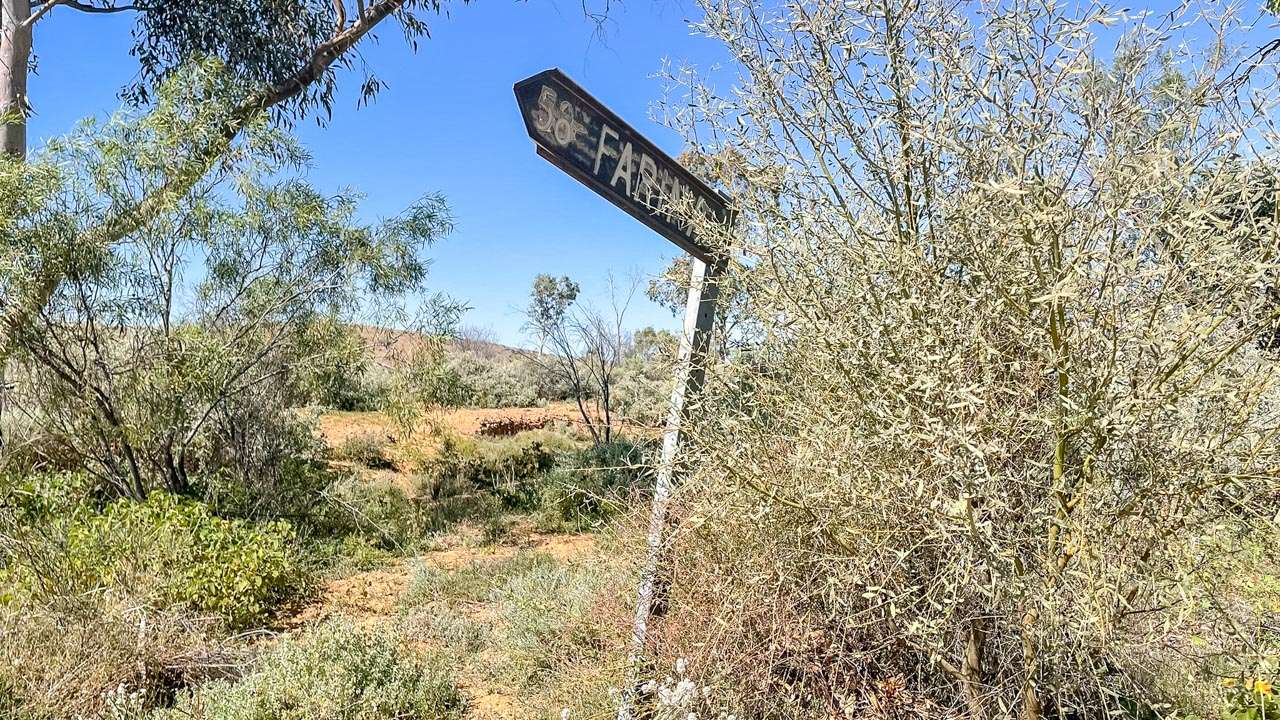
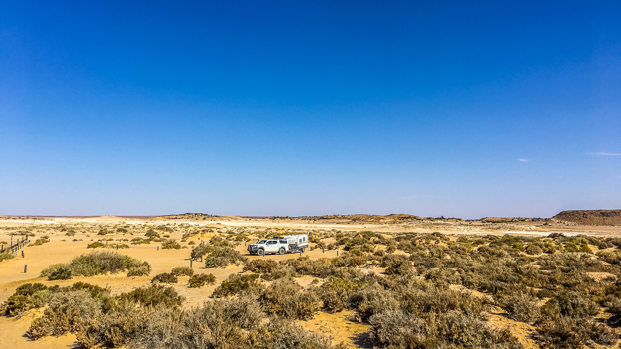
Strangways Springs
Strangways Springs gives a different experience compared with The Bubbler and Blanche Cup.
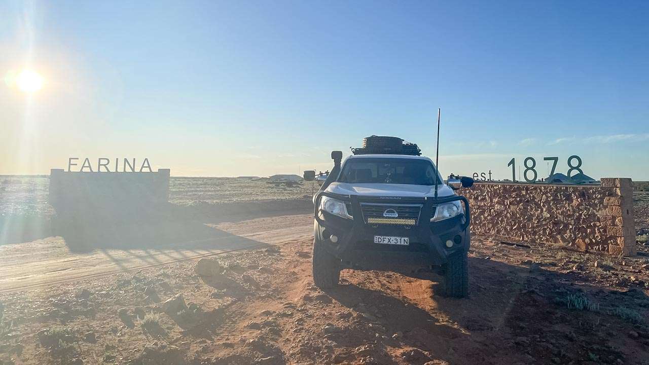
We visited the Strangways area in 2024 while travelling between William Creek and Oodnadatta. The spring area itself is quieter and less developed. However, the nearby ruins and telegraph history add another layer to the stop.
Instead of boardwalks and viewing platforms, Strangways feels more remote and untouched.
The old stone ruins nearby are part of the former Overland Telegraph station and railway history. Because of that, many travellers combine the springs visit with a walk through the historic site.
Track conditions into Strangways can vary. After rain, sections may become rough or muddy. Therefore, checking road conditions before leaving is always a good idea.

Strangway Springs Mound Springs On The Oodnadatta Track In 2024
Best Time To Visit The Mound Springs On The Oodnadatta Track
The cooler months from May to September are usually the best time to travel the Oodnadatta Track.
Daytime temperatures are more comfortable and road conditions are often better after summer.
Even so, weather still affects the track. Heavy rain can close roads quickly. Corrugations also change throughout the season.
Before travelling, check current conditions through the official South Australian Outback Roads Report and the South Australian National Parks website.
South Australian Outback Roads Report
South Australian National Parks Information
As of May 2026, The Bubbler and Blanche Cup remain accessible through the Wabma Kadarbu conservation area. Visitors should still check local reports before travel due to changing outback conditions.
In We Towed The Van Out To The Mound Springs On The Oodnadatta Track
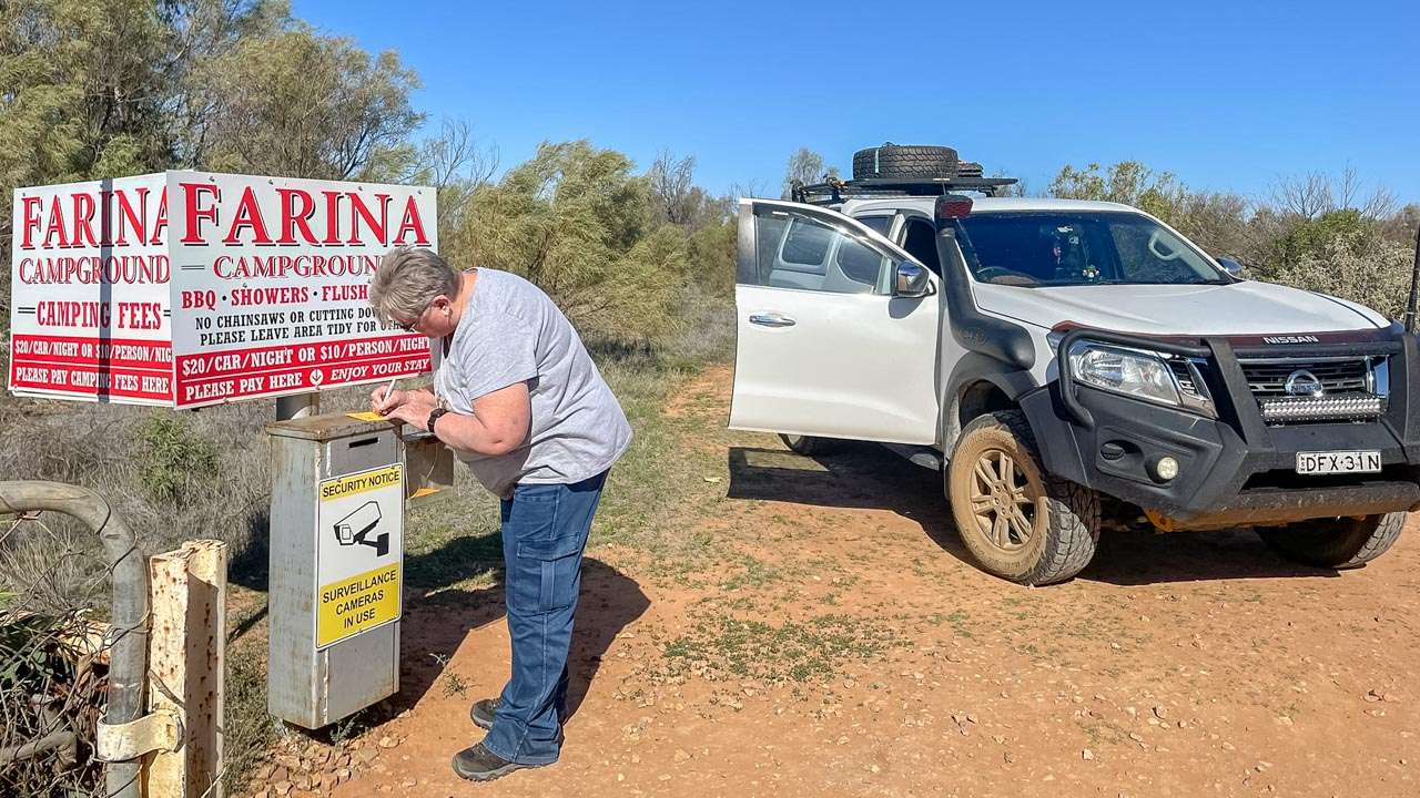
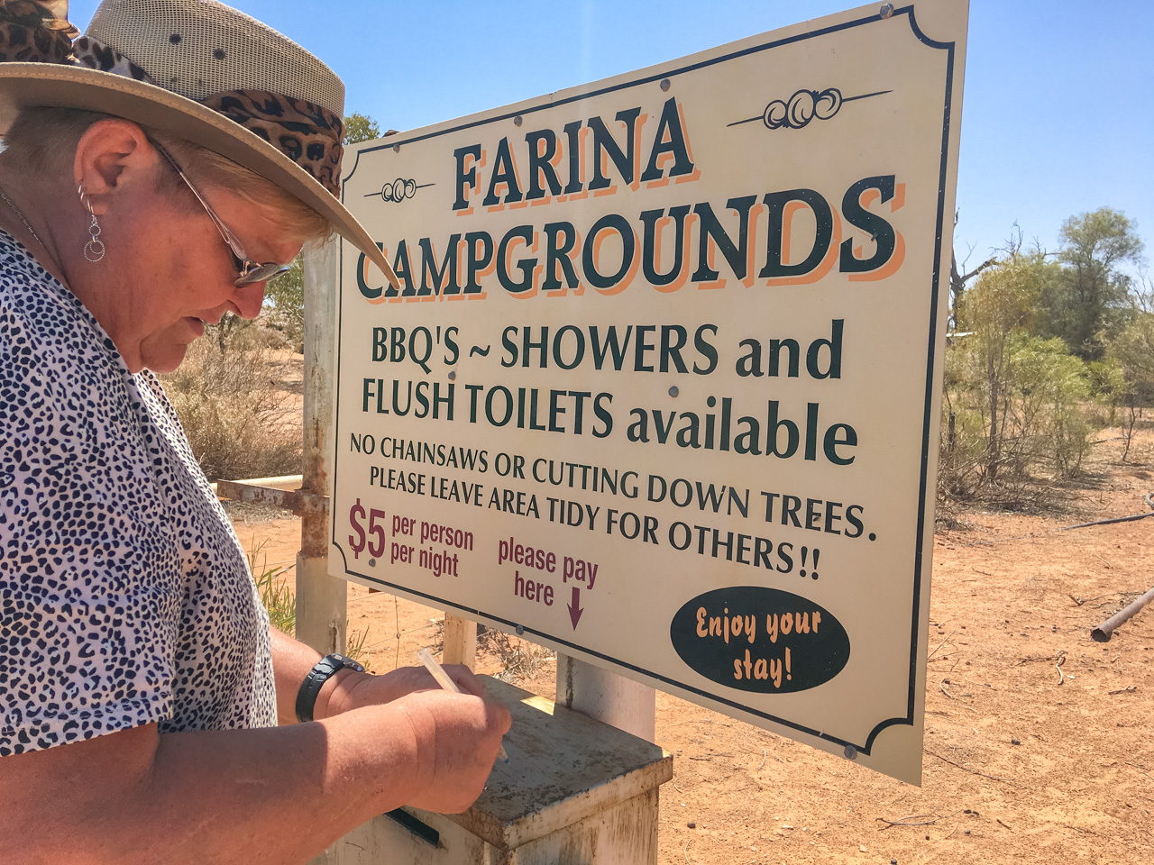
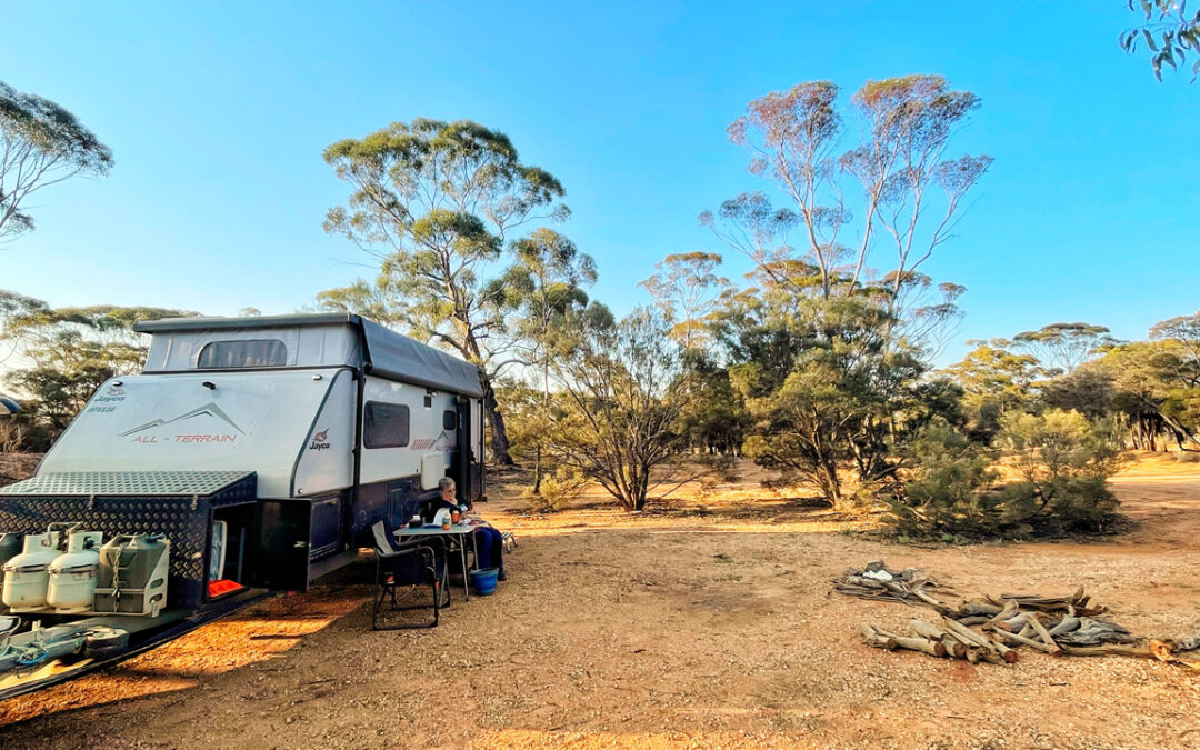
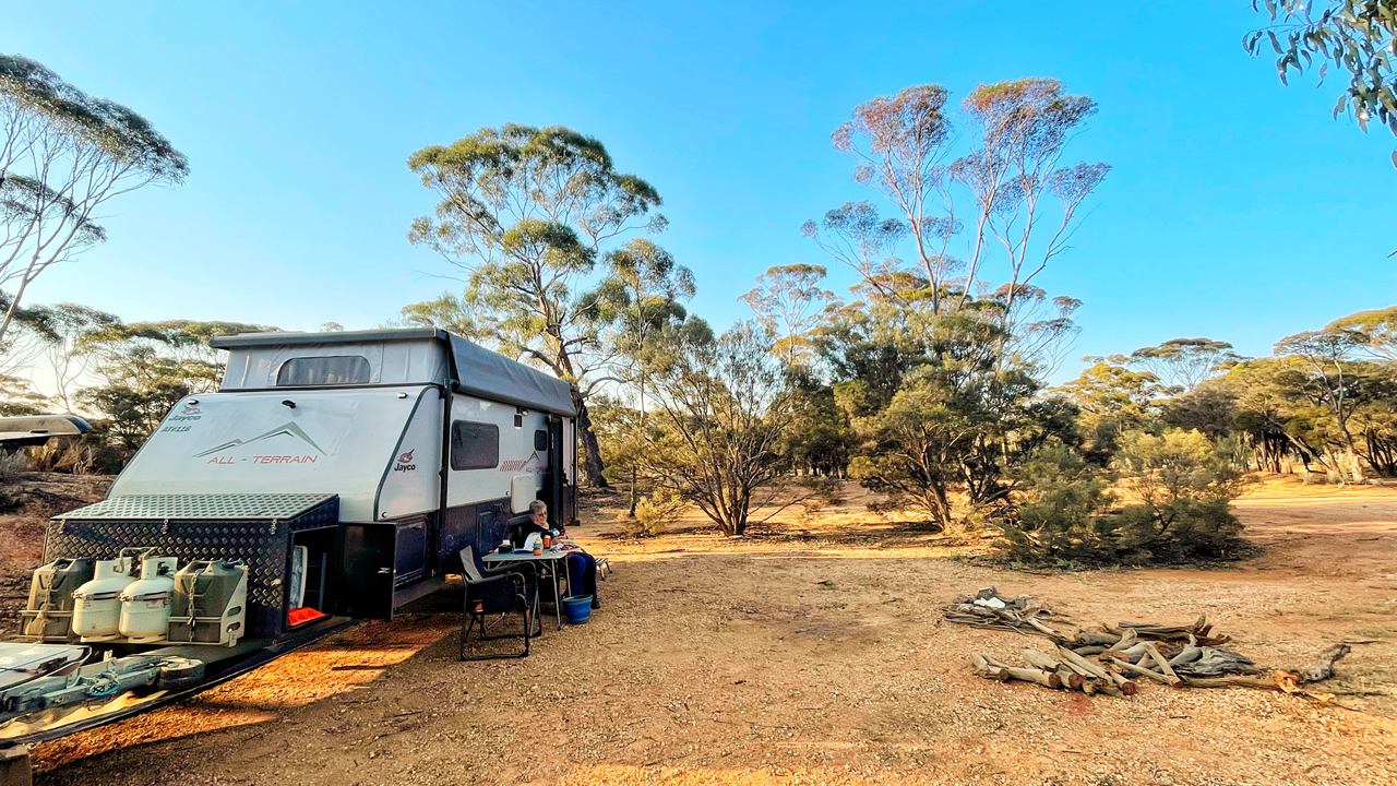
Camping Near The Mound Springs On The Oodnadatta Track
Most travellers stay nearby at Coward Springs.
Coward Springs is one of the better known campgrounds on the Oodnadatta Track. It offers toilets, hot showers and the well known artesian spa.
From there, the mound springs are only a short drive away.
William Creek and Marree also work well as overnight stops depending on your direction of travel.
Things We Noticed Across Multiple Visits
After visiting across several years, a few things stood out to us:
- Water movement at The Bubbler changed between visits
- Wetland growth varied each year
- Visitor numbers increased noticeably after 2020
- Boardwalks and signage improved over time
- Track conditions changed more than the springs themselves
Those changes are part of what makes repeat visits worthwhile.
The springs may seem simple at first. However, once you understand their history and importance, they become one of the more memorable stops along the track.
Information Board At Wabma Kadarbu Mound Springs Conservation Park
Final Thoughts
The mound springs are one of the most worthwhile stops on the Oodnadatta Track. They combine history, geology and outback scenery in one easy visit.
The Bubbler and Blanche Cup are the best known sites and suit almost every traveller. Meanwhile, Strangways Springs gives a quieter and more historic feel.
For us, the springs have been worth stopping at on every trip across the track. They break up the drive, add context to the region, and show just how important water is in the South Australian outback.
The Bubbler Mound Spring On The Oodnadatta Track
FAQs About The Mound Springs On The Oodnadatta Track
What are mound springs on the Oodnadatta Track?
Where are the main mound springs located on the Oodnadatta Track?
Can you swim in the mound springs?
Are the mound springs easy to access with a caravan?
What is the best time of year to visit the mound springs?
How far are The Bubbler and Blanche Cup from Marree?
Why are mound springs important?
What makes The Bubbler different from Blanche Cup?
Is Strangways Springs worth visiting?
Where can you camp near the mound springs?
🗺️ Oodnadatta Track Full Driving Guide (2026)
🗺️ Oodnadatta Track Campsites Map & Full List (2026 Guide)
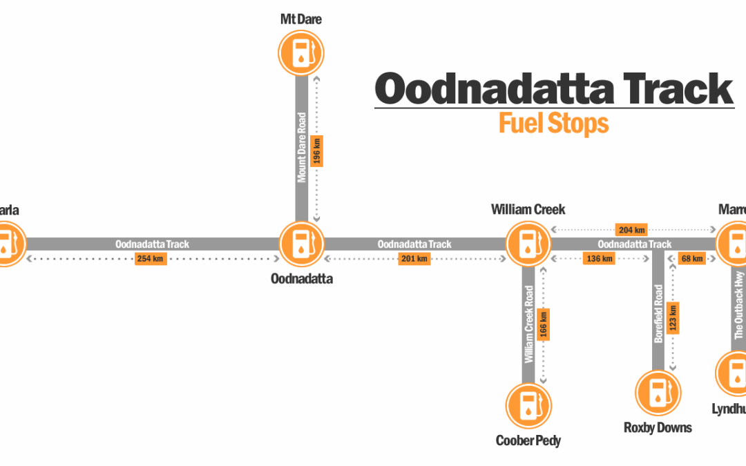
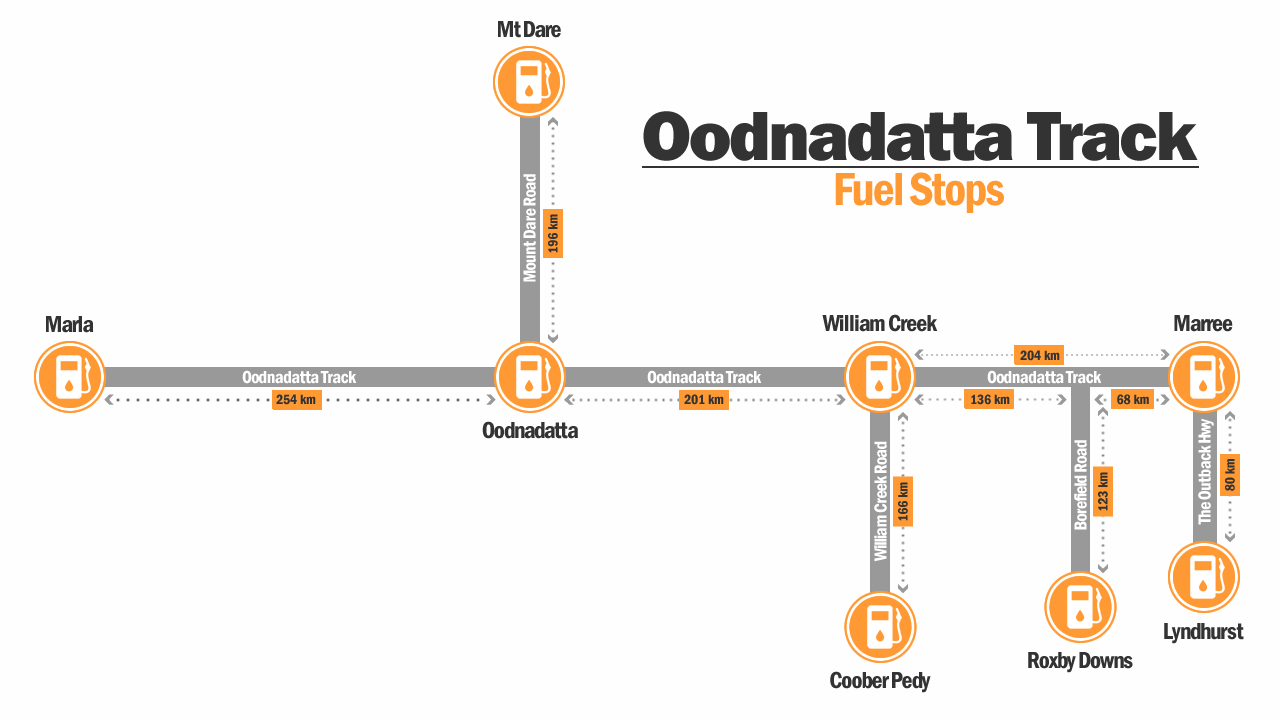
🗺️ Oodnadatta Track Fuel Stops Complete Guide (2026)
🗺️ Oodnadatta Track Road Conditions – Access Latest Updates (2026)
🗺️ Lake Eyre Travel Guide (2026)
🗺️ William Creek Travel Guide (2026)
Internal guide: 🗺️ Read the full Oodnadatta Track driving guide here
Internal guide: 🗺️ Oodnadatta Track Campsites Map & Full List (2026 Guide)