Bushwalking In Jindalee National Park

Bushwalking In Jindalee National Park

Bushwalking In Jindalee National Park

We went Bushwalking In Jindalee National Park along the Scotts Loop And Echinda Track. The walk is a 5.6km loop trail near Cootamundra New South Wales. Generally considered a moderately challenging route. This track is great for mountain biking and it’s unlikely you’ll encounter many other people while exploring.

We used the AllTrails App to find the walk as well as map our progress. We find the AllTrails App to be an excellent guide while walking. It lets you know exactly where you are on the track so there’s little to no chance of getting lost. Amanda and I are fairly experienced walkers however the app gives us an added level of safety and security. It’s also a great way of finding walks that you otherwise never know existed.
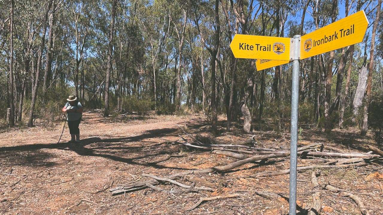
Kite Trail And Ironbark Trail Intersection

Kite Trail And Ironbark Trail Intersection

Jindalee National Park lies on the South West Slopes of New South Wales, ten kilometres north of Cootamundra. Burley Griffin Way runs along the northern boundary of the park. Jindalee National Park is less than 15 minutes drive from our house in Cootamundra NSW. It’s a great place for a visit especially if you are into bush walking or mountain biking.
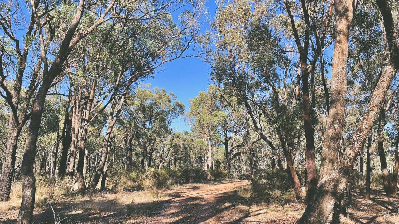
Scotts Loop The Valley And Echidna Track

Scotts Loop The Valley And Echidna Track

Jindalee National Park History

A forest reserve was established in 1877, and in August 1918, it was reclassified as a state forest. To protect remaining cypress pine woodlands across New South Wales from clearing, the park was reserved under the National Park Estate (South-Western Cypress Reservations) Act (2010) in January 2011.
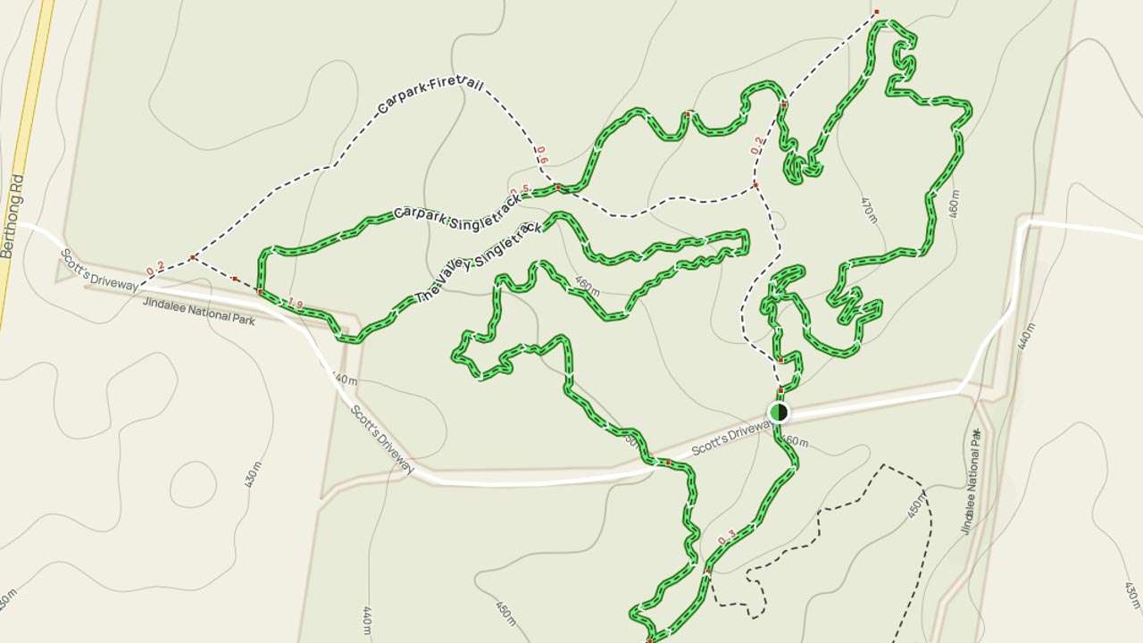
Jindalee National Park Map Scotts Loop The Valley And Echidna Track

Jindalee National Park Map Scotts Loop The Valley And Echidna Track

Park Features

A strip of private farmland along Berthong Rd separates the park into two parts. Numerous minor drainage lines dissect the undulating terrain. Historically the state forest has been a popular place for motorbike riding and, in later years, mountain biking. As a result of the reservation, all of the existing roads within the park remain accessible to public vehicles, however all vehicles must be registered and their use is limited to the established trails.
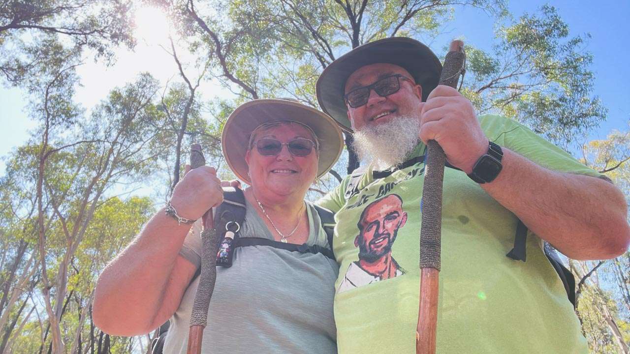
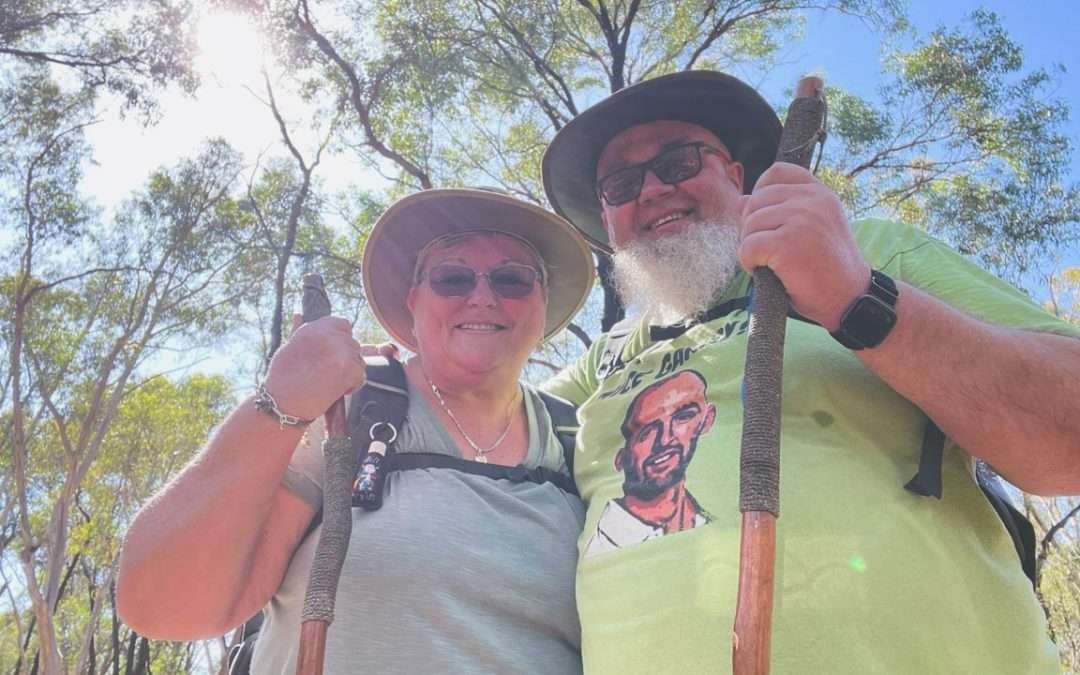
David And Amanda Walking In Jindalee National Park

David And Amanda Walking In Jindalee National Park

Jindalee National Park Flora

The park consists of several vegetation communities. The park is 74 percent Mugga Ironbark-mixed box woodland, 20 percent Mugga Ironbark-Western Grey Box-Cypress Pine woodland, and 5.8 percent cleared land. A critically endangered ecological community in NSW, the White Box-Yellow Box-Blakely’s Red Gum Grassy Woodland, occupies 0.2 percent of the park.
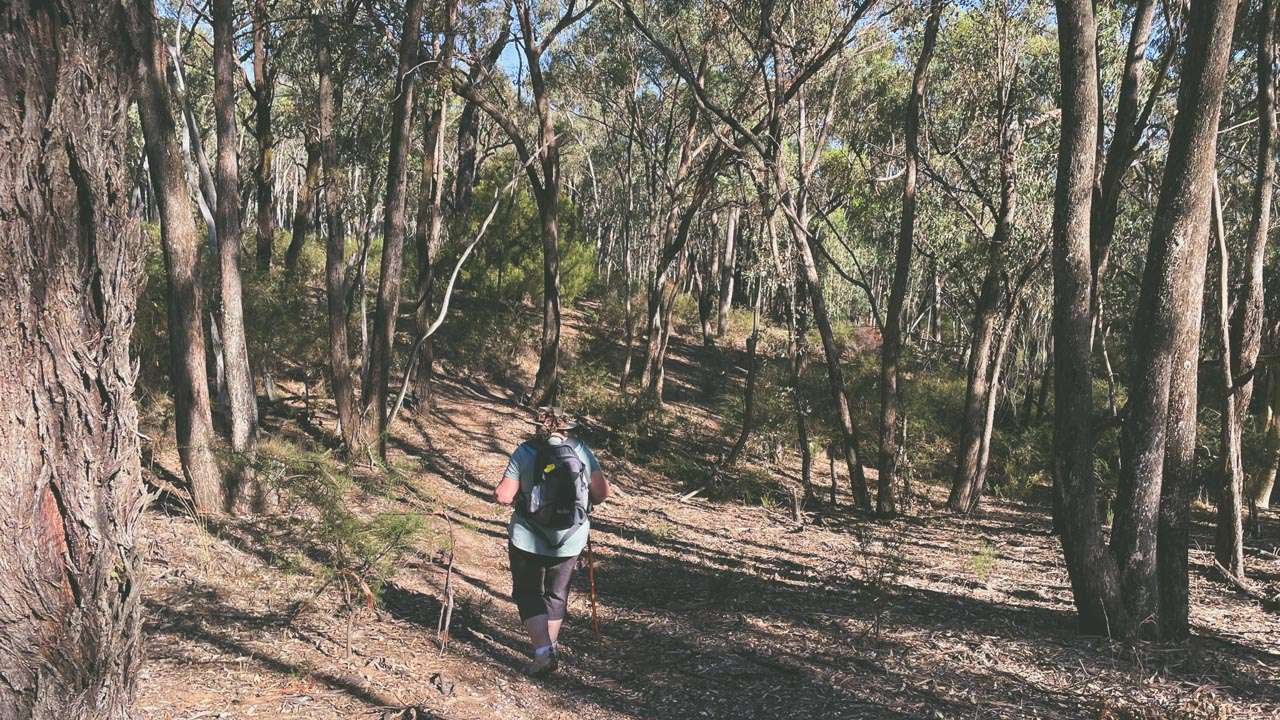
Amanda On Scotts Loop The Valley And Echidna Track
Amanda On Scotts Loop The Valley And Echidna Track
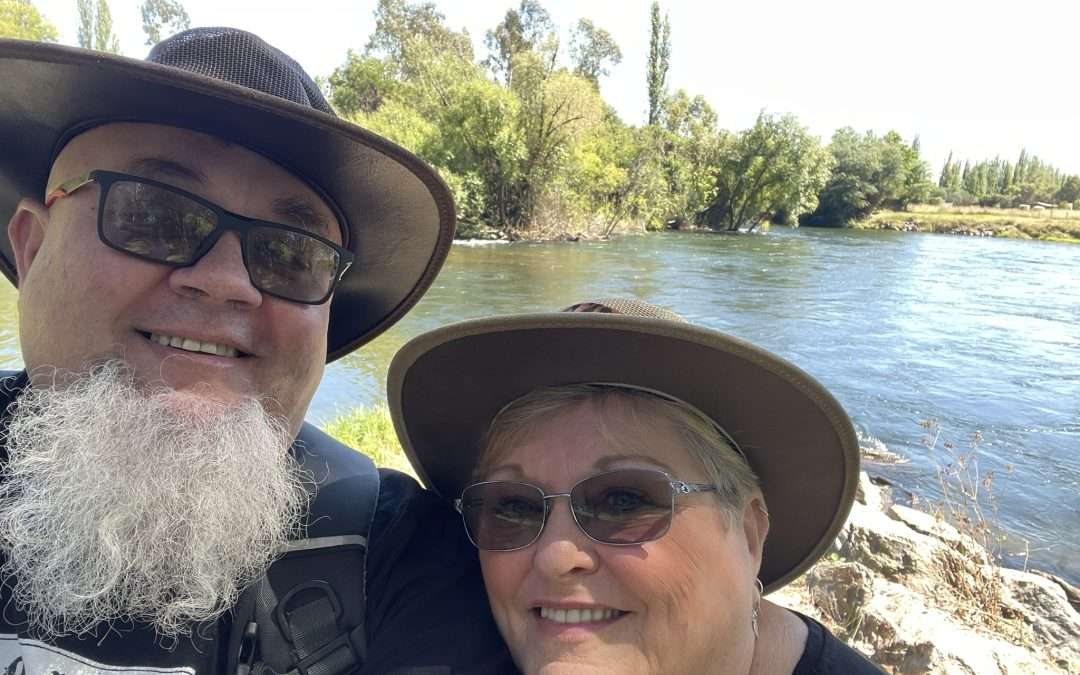
Tumut Riverwalk Is A Great Day Out

Tumut Riverwalk Is A Great Day Out

Tumut Riverwalk Is A Great Day Out

The Tumut Riverwalk is a great day out in Tumut NSW. This fun and easy little walk is in the town of Tumut on the edge of Kosciuszko National Park close to the NSW and ACT borders.

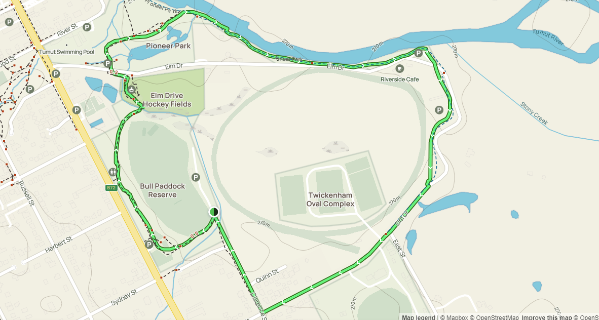
Tumut Riverwalk Map

Tumut Riverwalk Map

In Tumut New South Wales you will find this 3.4-km loop trail that makes for an easy and enjoyable walk. An average of 47 minutes is needed to complete this route. It is considered an easy route. In quieter hours of the day, you may still enjoy some solitude along this popular trail for birdwatching, mountain biking, and running. January through February are the best months to visit this trail.

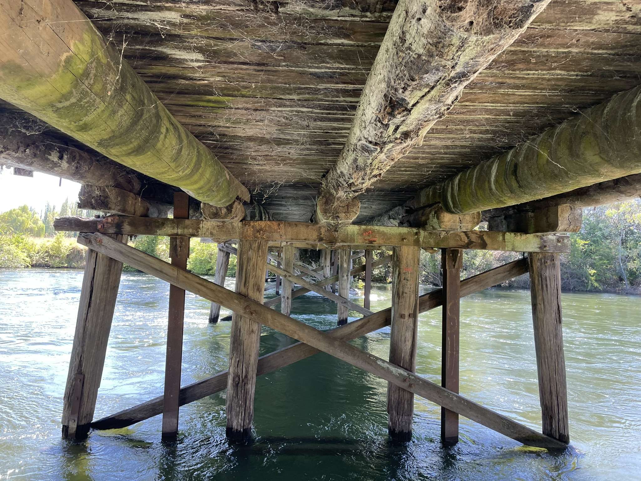
Underneath View of The Old Tumut River Bridge

Underneath View of The Old Tumut River Bridge

The loop features a walk along the Tumut River as well as a walk through the Tumut Community Labyrinth for Peace. A picnic can be enjoyed at the Bull Paddock Reserve or at the picnic facilities. This walk is a favourite among families because it offers plenty of things to see and do for kids.

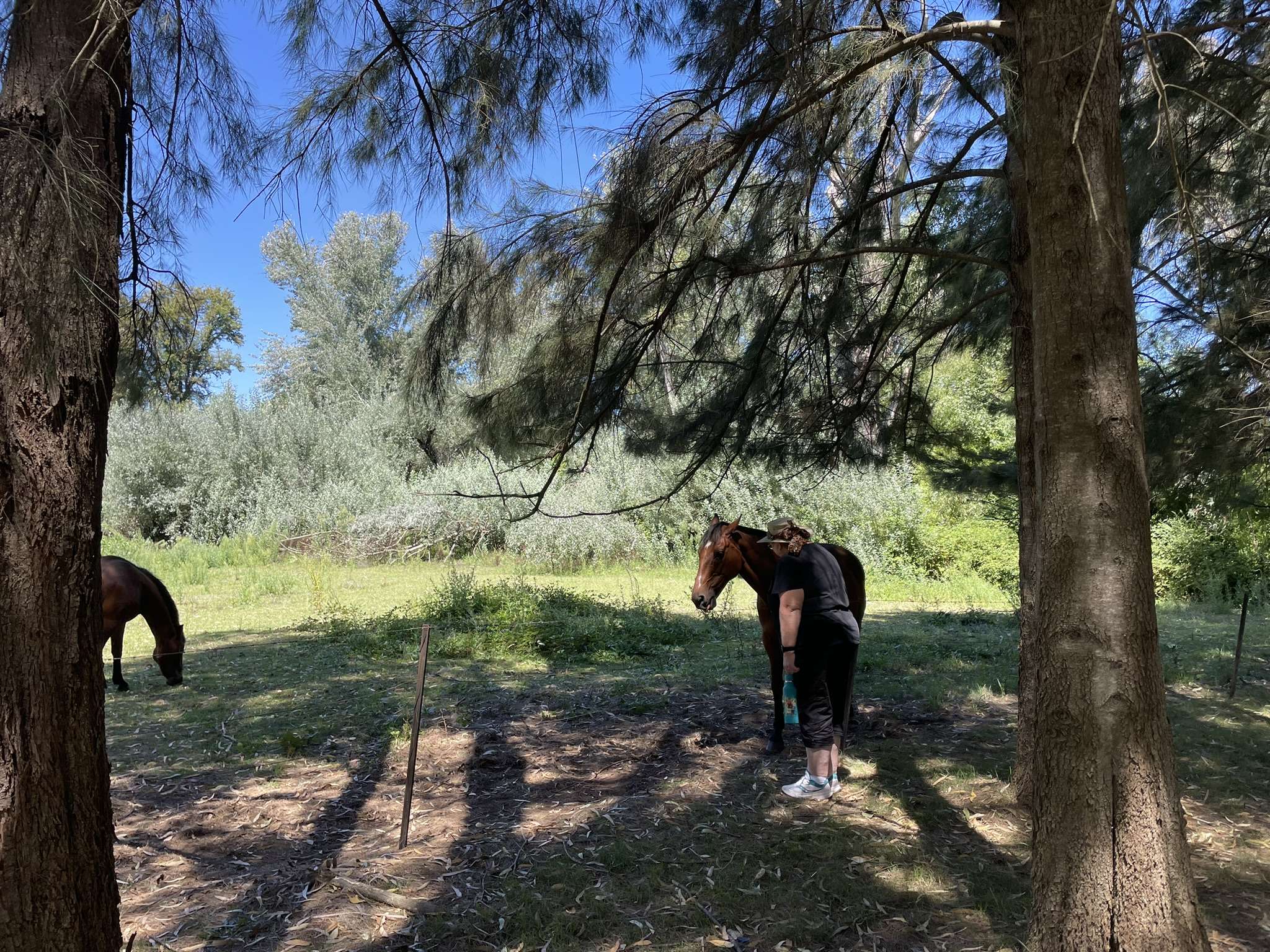
Horses Seen From The Tumut Riverwalk

Horses Seen From The Tumut Riverwalk

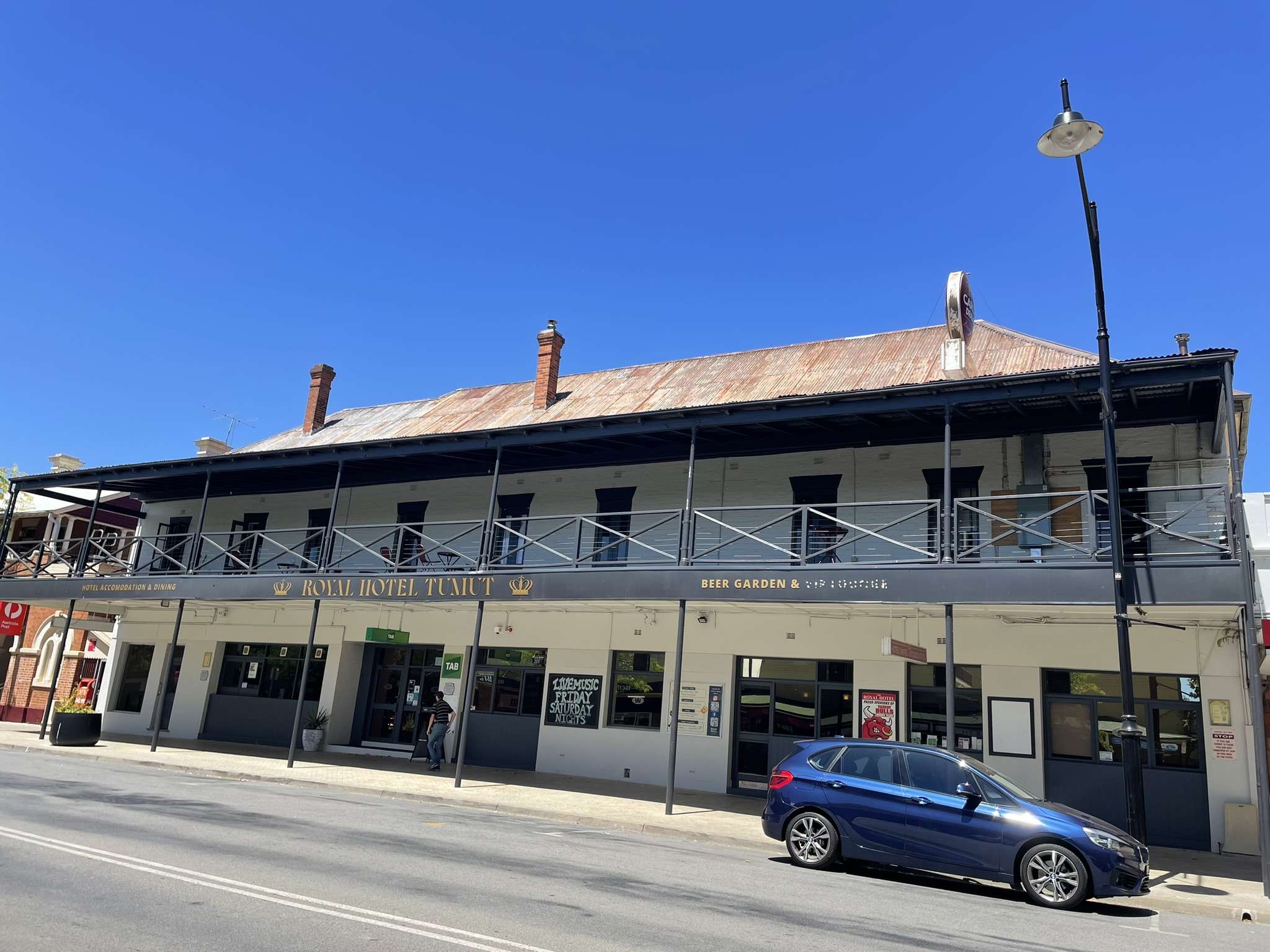
Amanda and I did this walk on a quiet Sunday morning in early February. It got a bit warm towards the end of the walk and we were glad that we had set off nice and early. A few beers and some lunch at the Royal Hotel in town finished off what was a very enjoyable day.

Royal Hotel Tumut

Royal Hotel Tumut

Visit The Tumut Community Labyrinth For Peace On The Tumut Riverwalk

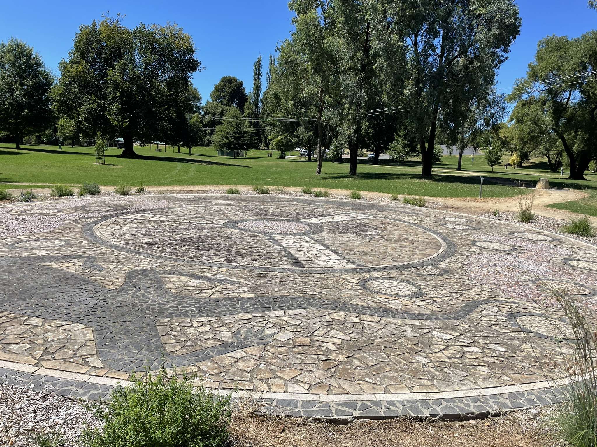
Part of the Tumut Riverwalk goes through the Tumut Community Labyrinth. Through the Tumut Labyrinth community service is celebrated in peace and conflict. All people young and old, together or alone, can use this place of reflection and contemplation in Pioneer Park.

Tumut Rotary Park Tumut Community Labyrinth For Peace

Tumut Rotary Park Tumut Community Labyrinth For Peace

The path is wide enough to accommodate two people walking together including caregivers for children and the less able. It is plenty wide enough to facilitate access by wheelchair or motorised scooters. Way stations provide places on the journey for rest and reflection. Stories of local Indigenous and European settlement are outlined on panels in the way stations.

Horses Seen From The Tumut River Walk

Horses Seen From The Tumut River Walk

Dig Tree To Haddon Corner Via Planet Arrabury Road

Dig Tree To Haddon Corner Via Planet Arrabury Road

Dig Tree To Haddon Corner Via Planet Arrabury Road

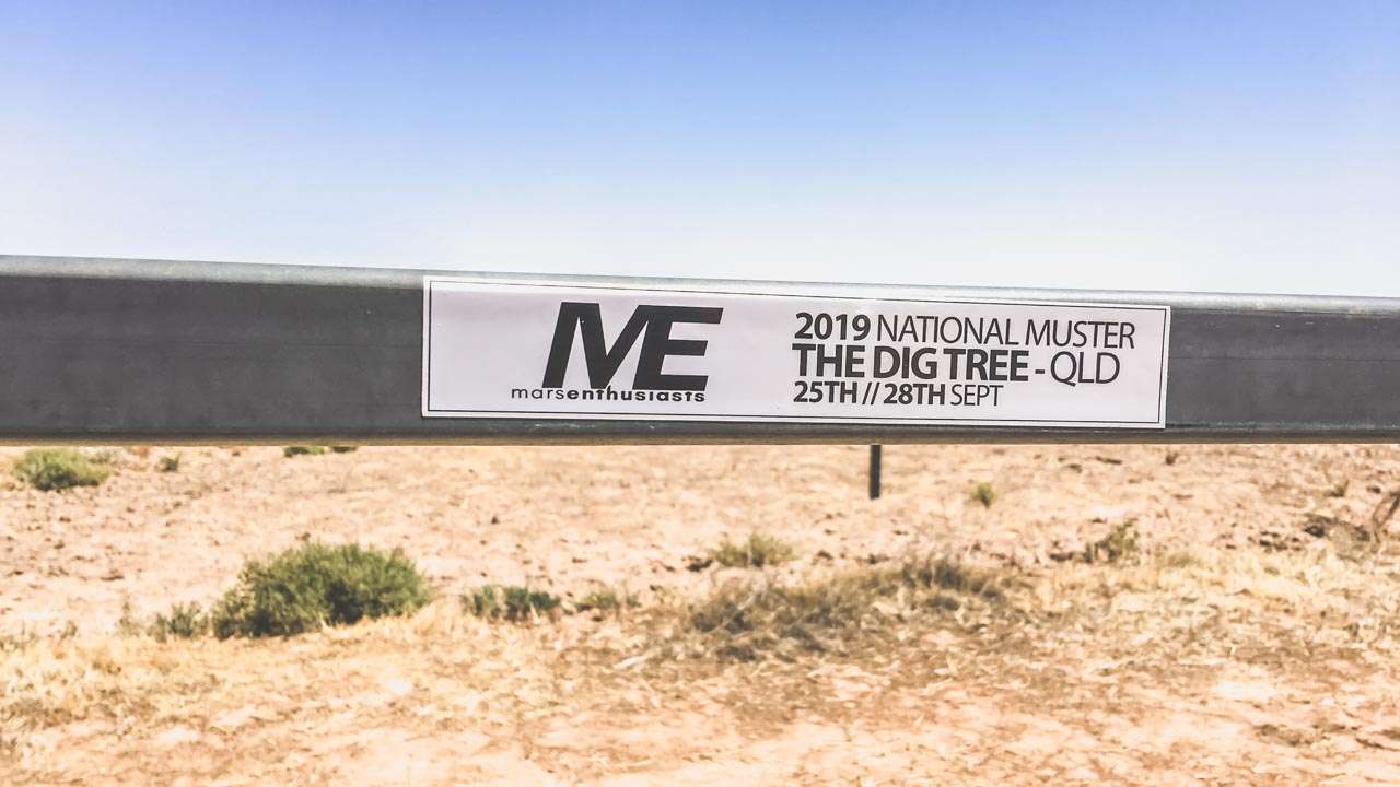
The Dig Tree to Haddon Corner via the Planet Arrabury Road. Another day on the MARS Enthusiasts 2019 National Muster. We called in at Nulla Outstation along the way. We left the dig Tree and headed north on the Planet Arrabury Road. Our final destination for the day was Birdsville however we planned to call in at Haddon Corner for a look.

The Planet Arrabury Road

The Planet Arrabury road varies from quite rough with large stones (some big enough to end your day) though to sandy and it eventually becomes a wide gravel highway towards the northern end. The first part of the southern section was awesome. The Cooper Creek basin and northwards is an ancient valley. You are surrounded by eroded flat-topped mesas that let you see the original level of the land as it had been millions of years ago. The planet Arrabury Road follows the valley floor. You are surrounded by fantastic ochre coloured hills – it looks a lot like the painted desert out from Coober Pedy and Oodnadatta. It’d be an awesomely magical sight from the right vantage point at sunset.

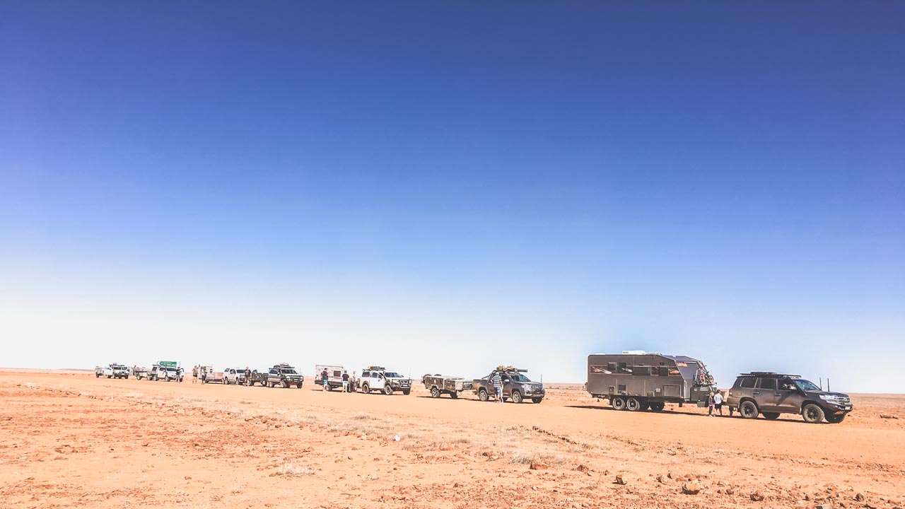
Traffic Jam On The Planet Arrabury Road

Traffic Jam On The Planet Arrabury Road

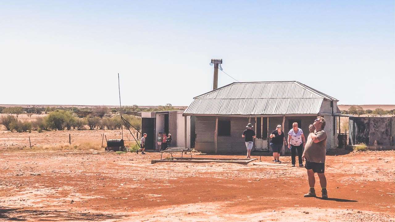
We called in at Nulla Outstation for a look and to break up the trip. What a nice little detour it was. The old outstation looks just like it must have a hundred years ago. It shows signs of recent use. There are some more modern (albeit dodgy looking dongas) alongside the old building that are probably see more use these days more than the original. On the way back out of Nulla Outstation one of our fellow MARS Enthusiasts Scott White mentioned he’d seen a nice old antique shovel on his way in and he was going to pull over and pick it up. Guess what? Turns out it was his own bloody shovel that must have fallen off his car on the way in. It gave us all one hell of a good laugh!

Nulla Outstation Bunkhouse 2019

Nulla Outstation Bunkhouse 2019

After a few hours the Planet Arrabury Rd rises up onto the tableland. From here to the end the changes are more subtle. As usual out this way there’s a lot of of gibber country and stretches of flood plains and sand country. Eventually you get to Sturt’s Stony Desert. He wasn’t mucking about when he named it either! It’s a never ending view of gibbers covering the landscape. Good old Charles Sturt walked through this country in one direction then walked back through it in the other because he was enthralled by the landscape. The bloke must have been absolutely bloody bonkers.

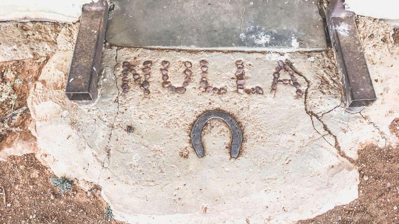
Entry To Nulla Station Bunkhouse

Entry To Nulla Station Bunkhouse

200km north of the Innamincka/Thargomindah Road you come to the turnoff to Haddon Corner. After we’d all come this far there was no way we weren’t calling in for a look!

Haddon Corner

From the Arrabury road, take the Haddon Corner turn off. A green finger sign points to Haddon Corner. The road is gravel, but it’s generally in quite good shape. There will be a difference depending on whether rain has fallen recently. All roads in the region would become impassable if that were the case. A 15-km drive will take you to Haddon Corner. The final two kilometres are across two sand dunes. While these sand dunes aren’t large, dragging a caravan through them wouldn’t be a bright idea. Campers with off-road tyres could get in with reduced tyre pressures. We all unhooked our vans and camper trailers at the base of the first dune, and drove in with just our vehicles. The track across the first dune from the end of the main track is well enough – it’s both easy to find and easy to follow.

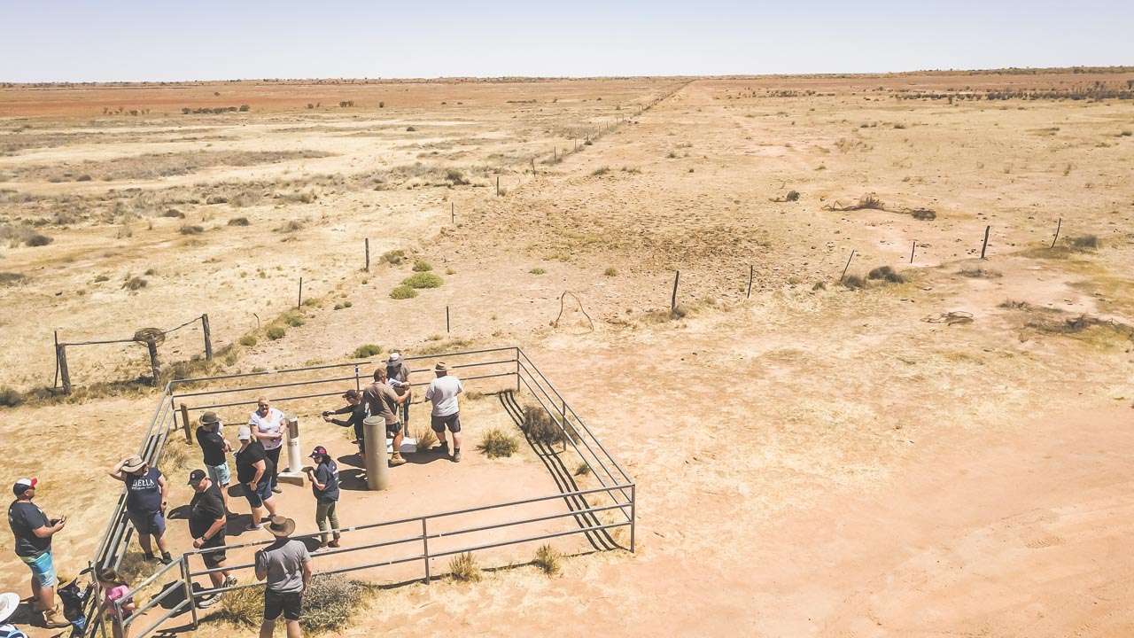
Drone Shot The Crew At Haddon Corner

Drone Shot The Crew At Haddon Corner

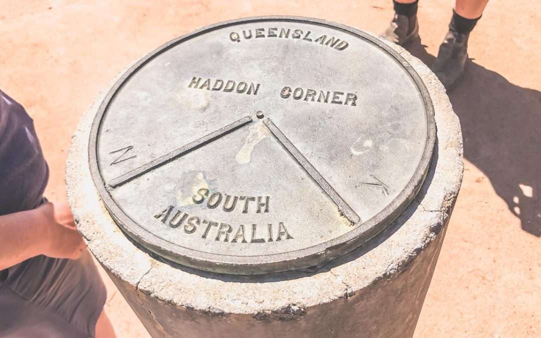
We all had our photos taken and signed the visitors book. El Supremo Peter Woolsey put up his drone and took some fantastic videos and photos – thanks Pete you’re a legend! Other than the corner marker there isn’t mush to see – in fact there’s nothing but that isn’t the point. The point is being there. There’s a lot of dust and wide expanses of pretty much nothing except for sand and rocks with the odd shrub having a crack at survival. There are no facilities and this really would be remote camping. There is a picnic shelter if you’re keen on spreading out the rug and munching on some cucumber sangas.

MARS Enthusiasts 2019 National Muster At Haddon Corner

MARS Enthusiasts 2019 National Muster At Haddon Corner

Camping At Haddon Corner

There’s a free camp at Haddon Corner. This free camping area is 4WD only and for tents and camper trailers only. Pets are allowed.

Haddon Corner Location

  • 165.25kms East of Birdsville
  • 178.05kms West of Windorah
  • 195.77kms North of Innamincka
  • 359.13kms South of Boulia

Haddon Corner is the north-eastern corner of the state of South Australia where it meets with Queensland. It was first surveyed by John Carruthers, Lawrence Allen Wells, and Augustus Poeppel around 1883.

Silverton Caravan Park – Penrose Park

Silverton Caravan Park – Penrose Park

Silverton Caravan Park – Penrose Park

Penrose Park Silverton Caravan Park is only 5 minutes from the Mundi Mundi bash location and a 20 minute drive from Broken Hill. You’ll find everything you need at Penrose Park.

We keep coming back to this place – we’ve been seven times as of 2025. What we love about it is you get proper caravan park amenities but without being crammed in next to your neighbor like sardines. The sites at Penrose Park are decent sized and it still feels like you’re camping in the bush.

Penrose Park Silverton Caravan Park Location And Info At A Glance

Type: Caravan Park
Cost: $20 per night two adults unpowered (Sep 2023)
Location: Penrose Park Rd, Silverton, New South Wales
GPS: -31.882346°, 141.229573°
Phone: 0458 600 891
Web: https://penroseparksilverton.com
Email: Penroseparksilverton@gmail.com
Pet Friendly: Yes

Booking Silverton Caravan Park

You’ll need to book well ahead for Mundi Mundi Bash time. Rest of the year it’s usually fine but worth calling first, especially during school holidays.

Silverton Caravan Park Penrose Park

Silverton Caravan Park Penrose Park

Things Worth Doing Around Silverton (Besides the Mundi Mundi Bash)

Wander Through the Ghost Town
The old buildings are still standing – some barely, but that’s part of the charm. There’s mining equipment scattered about and you can poke around the ruins. Kids love it because it looks like a movie set. Which it often is.

Mad Max Museum
If you’re into the movies, this place has heaps of stuff from the filming. They’ve got some genuine movie cars and trucks, old costumes from the movie as well as photos and a metric shit-ton of memorabilia. Even if you’re not a Mad Max fan, it’s interesting to see how they transformed the landscape for Hollywood.

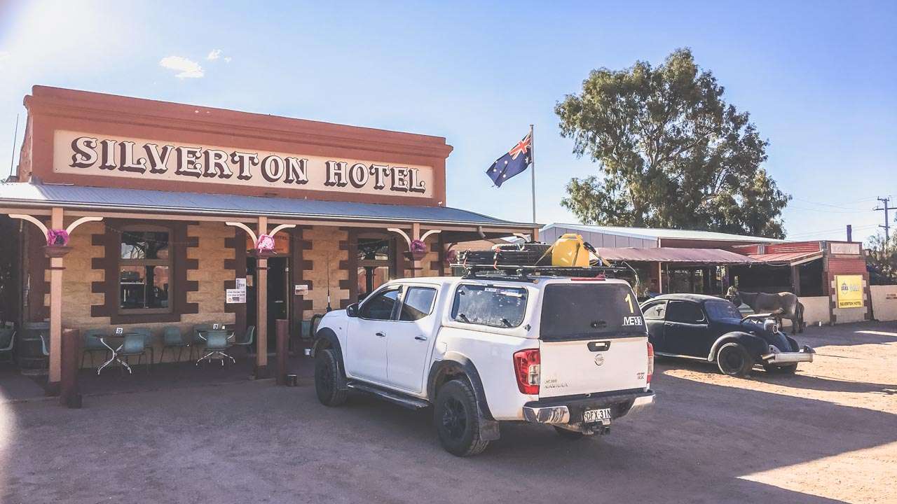
Silverton Hotel for a Meal And Some beers
The pub does decent counter meals and their hot dogs are famous for a reason. Good spot for a beer in the afternoon too. Staff know their local history and aren’t shy about sharing stories.

Old Gaol
It’s tiny – you can see the whole thing in ten minutes. But worth the couple of dollars entry fee. The cells are cramped and dark. Makes you glad you weren’t a criminal back then.

Just Looking Around
Honestly, half the appeal is sitting outside your van with a cup of tea and taking in the view. The light changes throughout the day and you’ll see why so many photographers come here.

Iconic Silverton Hotel

Iconic Silverton Hotel

About The Silverton Hotel

This pub has been through a few incarnations. The first one burned down, the second one too. Current building used to be the post office before they turned it into a hotel in 1918. There’s still ruins from the old hotel out the back – apparently that’s where BHP got its start, though I’m not sure about all the details.

These days the place is busy with film crews and tourists, but it hasn’t lost its character. Peter and Patsy who run it are good sorts and always happy to show you the memorabilia collection if you’re interested.

Ice Cold Beers At The Silverton Hotel

Ice Cold Beers At The Silverton Hotel

Silverton Caravan Park is on the edge of the Mundi Plains next to Umberumberka Creek. Sometimes you’ll hear the water trickling at night, which beats the sound of generators any day.

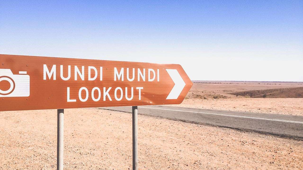
Mundi Mundi Lookout Near Silverton Caravan Park Penrose Park

Mundi Mundi Lookout Near Silverton Caravan Park Penrose Park

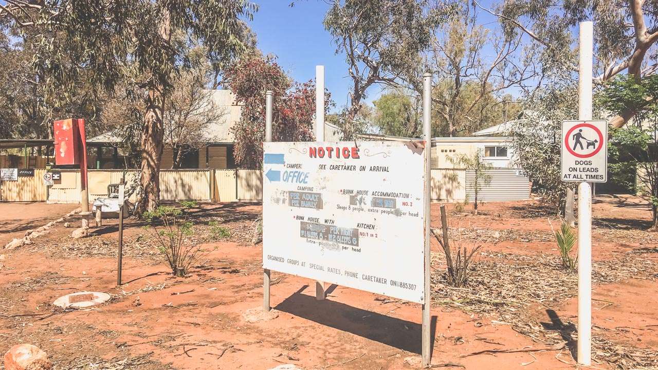
Welcome Sign To Front Office Silverton Caravan Park Camping

Welcome Sign To Front Office Silverton Caravan Park Camping


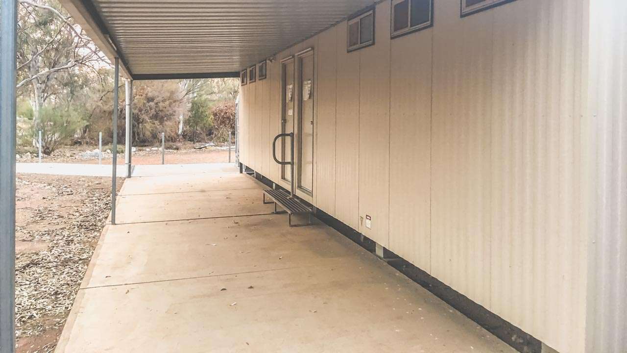
Hot Showers While Camping At Silverton

Hot Showers While Camping At Silverton

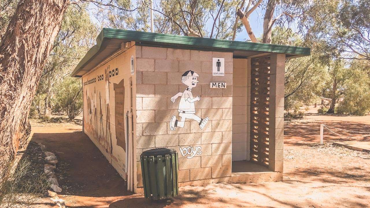
Plenty Of Clean Toilets Penrose Park Camping

Plenty Of Clean Toilets Penrose Park Camping

Free Camping In Nyngan NSW At Nyngan Rest Area

Free Camping In Nyngan NSW At Nyngan Rest Area

Free Camping In Nyngan NSW At Nyngan Rest Area

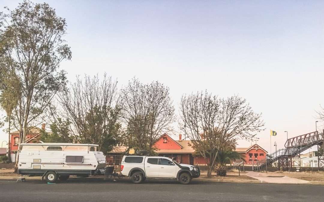
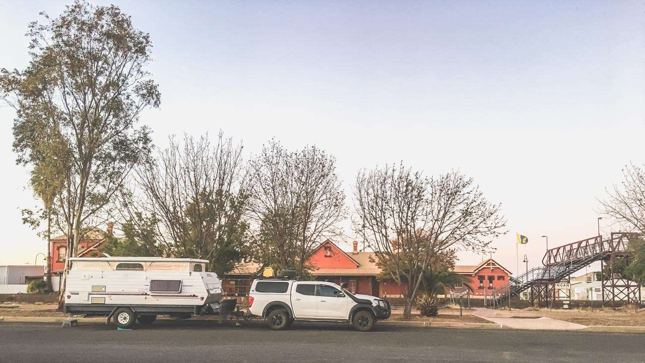
This rest area is a great place for overnight free camping in Nyngan NSW. We’ve stayed here a couple of times on our travels. Nyngan is one of those places we are always passing through at the beginning or end of a trip and this free camp in Nyngan is just perfect to break up a long trip.

Overnight Free Camping In Nyngan 2019

Overnight Free Camping In Nyngan 2019

Free Camping In Nyngan NSW At Nyngan Rest Area

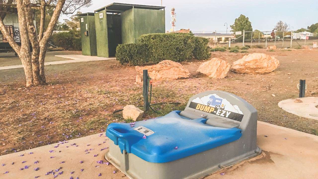
This free camp in Nyngan has toilets, drinking water and a dump point. It is dog friendly. It is accessible to motorbikes, RVs, camper trailers, caravans and big rigs. You can stay here for up to 24 hours. There is a dump point nearby.

Nyngan Dump Point

Nyngan Dump Point

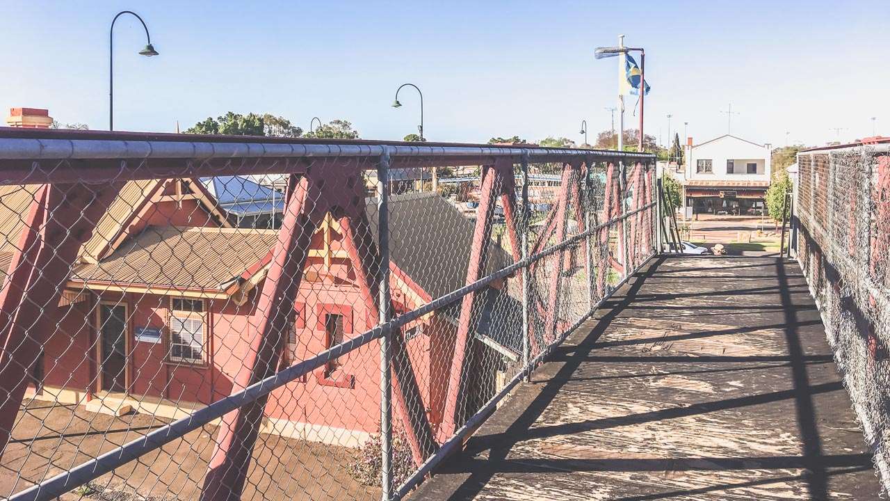
It’s just a short walk across across the railway line into town. We highly recommend the Nyngan RSL club if you’re looking for dinner. The T-bone steaks are huge! You must be fully self-contained.

Darcy Freight Lines Abandoned Building In Nyngan NSW

Darcy Freight Lines Abandoned Building In Nyngan NSW

If you are looking for free camping in Nyngan NSW then this is the place to stop.

IMG 6714

IMG 6714

Top Ten Things To Do In Nyngan

Here’s a list of the top ten things to do in Nyngan New South Wales.

  1. Bogan River Walk – Go for a walk along the Bogan River. There are plenty of great views of the river and surrounding landscapes.
  2. Nyngan Riverside Camping Area – Set up camp at the Nyngan Riverside Camping Area and immerse yourself in the serene ambiance of the Bogan River. Enjoy fishing, kayaking, or simply relax by the riverside with your loved ones.
  3. Nyngan Museum – Check out the history of Nyngan at the Nyngan Museum. There are loads of exhibits and stories that showcase the town’s past beginning with its indigenous roots to its pioneer days.
  4. Nyngan Solar Farm –  Visit the Nyngan Solar Farm, one of the largest solar plants in the Southern Hemisphere.
  5. Girilambone Observatory – Goon a celestial journey at the Girilambone Observatory where you can marvel at the wonders of the night sky through powerful telescopes. Experience the magic of stargazing and gain insights into the universe.
  6. Nyngan Ag Expo – If you’re visiting during August, don’t miss the Nyngan Ag Expo, a celebration of agriculture and rural life.
  7. Cobb & Co. Changing Station – Step back in time at the Cobb & Co. Changing Station. The Cobb & Co changing station is a heritage listed building that once served as a vital stop for travellers and mail coaches. Have a good look around the restored station.
  8. Outdoor Recreation – Get out into the great outdoors with a range of recreational activities. You’ve got bushwalking, birdwatching, and photography. Nearby national parks, nature reserves and scenic viewpoints all close to town.
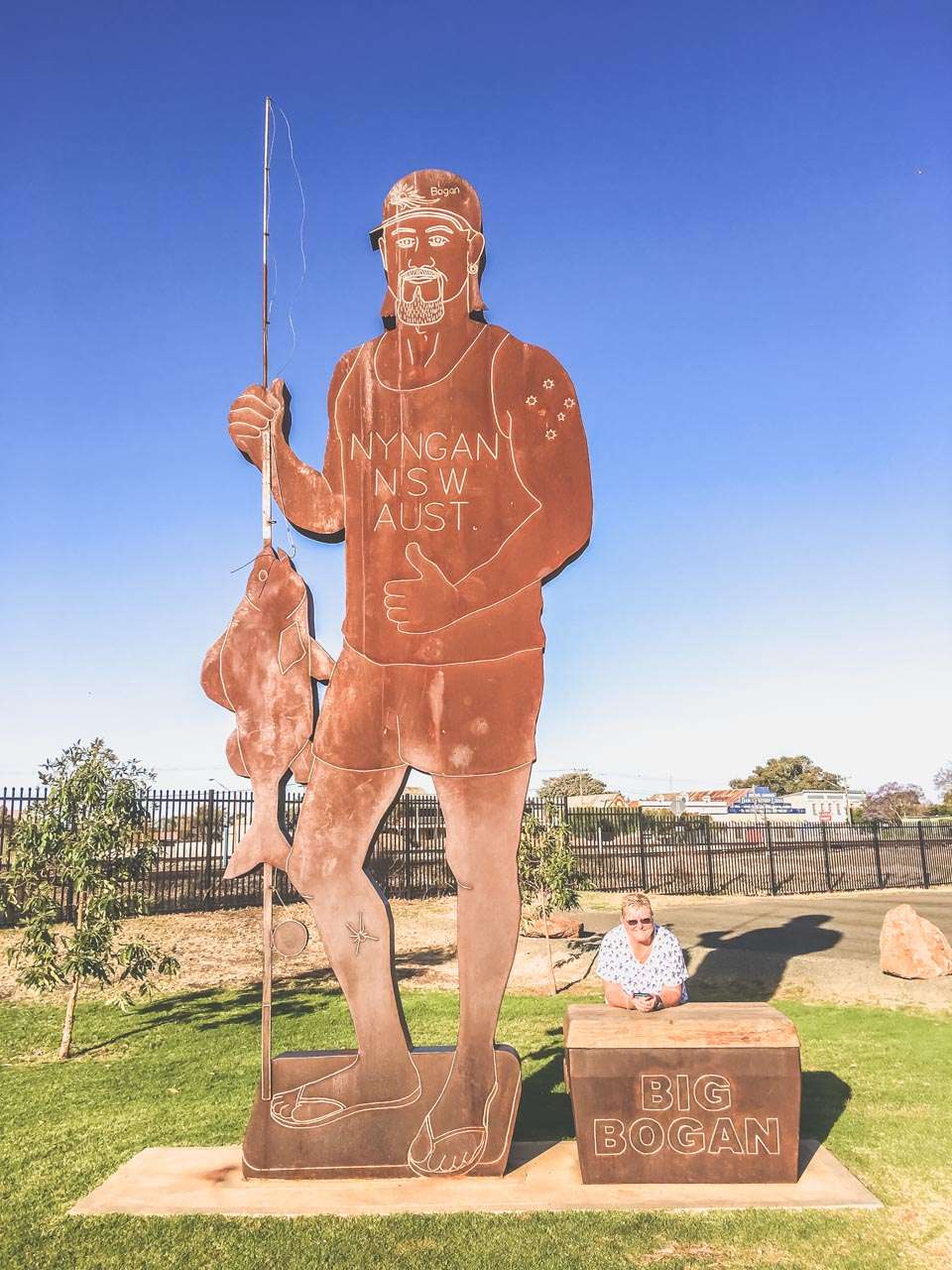
  9. Take Your Photo Alongside The Big Bogan – Go on, you know you want to do it! Located in the park in the middle of town is the iconic, some might even say world famous “Big Bogan”. Be a proud Aussie and unleash your inner bogan and get a happy snap with him.
  10. Community Events and Festivals – Immerse yourself in Nyngan’s vibrant community spirit by attending local events, festivals, and markets throughout the year.

The Big Bogan Nyngan NSW

The Big Bogan Nyngan NSW

Getting To Nyngan

From Sydney, take the M4 motorway heading west towards the Blue Mountains. Continue onto the Great Western Highway (A32), which will take you through the Blue Mountains and towards Bathurst. In Bathurst, take the Mitchell Highway (A32) towards Orange and continue along the highway towards Dubbo. From Dubbo, continue on the Mitchell Highway (A32) towards Nyngan. The total driving distance is approximately 550 kilometers, and the journey takes around 6 to 7 hours, depending on traffic and road conditions.

Travel From to Nyngan Distance Time
Adelaide 1,105km 11:44
Brisbane 929km 10:09
Melbourne 884km 09:25
Sydney 632km 05:38

Abandoned Pub In Nyngan NSW

Abandoned Pub In Nyngan NSW

Wombat Vintage Tractor Pull Australia Day 2024

Wombat Vintage Tractor Pull Australia Day 2024

Wombat Vintage Tractor Pull Australia Day 2024

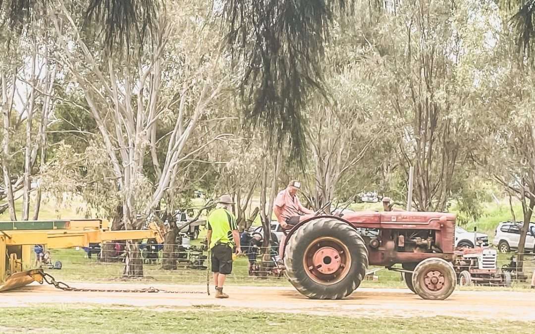
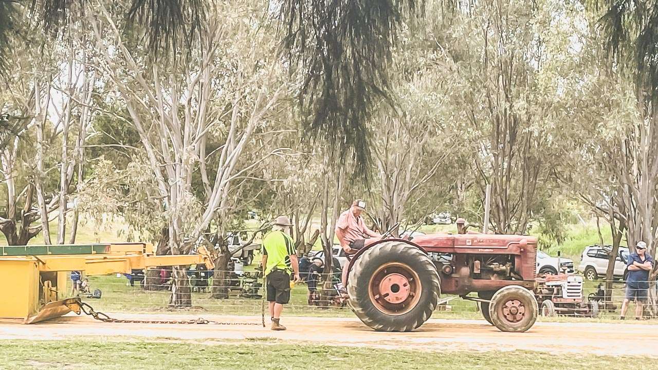
We had a fun 2024 Australia Day in Wombat NSW watching the Wombat Vintage Tractor Pull sledge pulling competition. It’s an annual event so get along next year! There’s also a street parade and once the tractor pull is finished everyone goes to the Wombat Hotel for live music and beer.

About The Wombat Vintage Tractor Pull

Check out rows of old-fashioned tractors lined up ready to have a crack at pulling a heavy sledge at the Wombat Vintage Tractor Pull. Some tractors are shiny and polished (not many!) while others show signs of their hard work on the farm.

The tractors rev their engines and prepare to pull heavy loads along the dirt track. As the competition heats up the air fills with the sound of roaring engines and the smell of diesel fuel. It’s a sight to behold as the tractors strain against the weight chugging and roaring as they inch forward.

If you’re looking for a day of old-fashioned fun and excitement get yourself out to the Wombat Vintage Tractor Pull every Australia Day.

Wombat Vintage Tractor Pull 2024

Wombat Vintage Tractor Pull 2024

Top 5 Things To Do In Wombat NSW

Here’s a list of the top five things to do in Wombat NSW

  1. Visit The Pub – The Wombat Hotel has long been a favourite with locals and visitors. We call in there for a beer almost every time we go to Young from Cootamundra – pretty much every week or two! Meals are excellent too, our favourite is the Mexican Schnitzel.
  2. Explore the Countryside – Take a stroll or drive around Wombat to enjoy the peaceful countryside scenery with its fields and hills. It’s an extremely popular thing to do for day trippers from Sydney and Canberra during canola season.
  3. Visit Wombat’s Community Park – Spend time at the local park for picnics, games, and relaxation under the trees.
  4. Stargaze at Night – Enjoy the clear night skies by looking at stars and constellations due to Wombat’s low light pollution.
  5. Learn Local History – Visit the Wombat Heritage and Memorial Wall to discover stories about the town’s past and pay respects to its history.

Having A Beer At The Wombat Hotel

Having A Beer At The Wombat Hotel

Getting To Wombat NSW From Sydney

From Sydney, take the Hume Highway (M31) heading towards Canberra and Melbourne. Continue on the Hume Highway until you reach the town of Yass. In Yass, take the turnoff onto Burley Griffin Way (B94), which will lead you towards the towns of Harden and then onto Wombat. Follow signs to Wombat. The total driving distance is approximately 330 kilometres, and the journey takes around 3.5 to 4 hours, depending on traffic and road conditions.

Travel From to Wombat Distance Time
Adelaide 1,011km 10:55
Albury 264km 02:39
Brisbane 1,125km 12:36
Melbourne 589km 05:50
Sydney 348km 03:43

Pin It on Pinterest