Free Camping In Nyngan NSW At Nyngan Rest Area

Free Camping In Nyngan NSW At Nyngan Rest Area

Free Camping In Nyngan NSW At Nyngan Rest Area

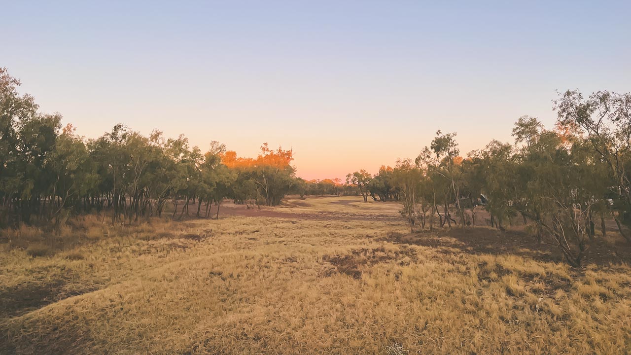
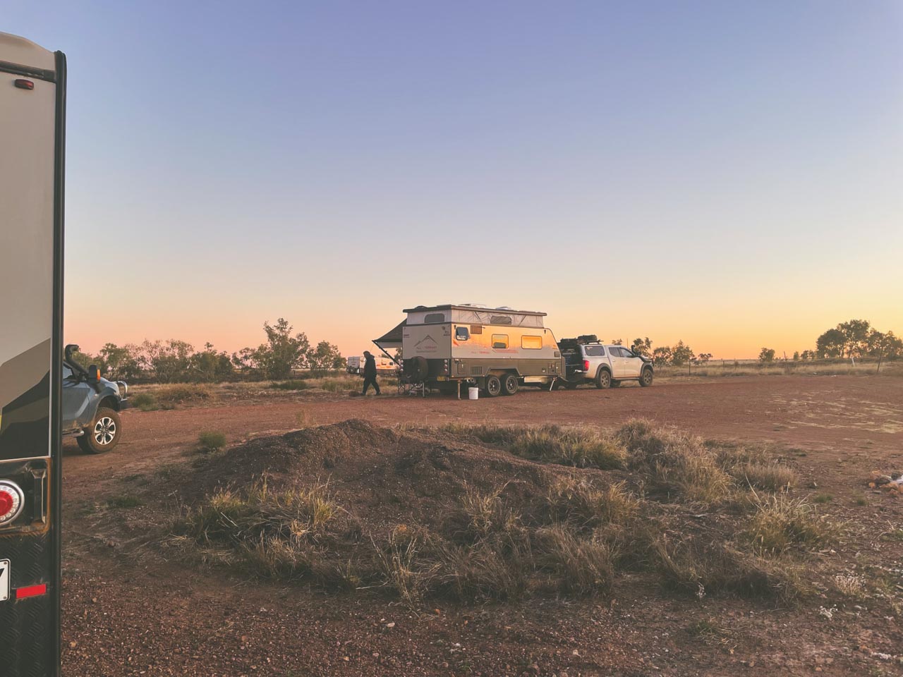
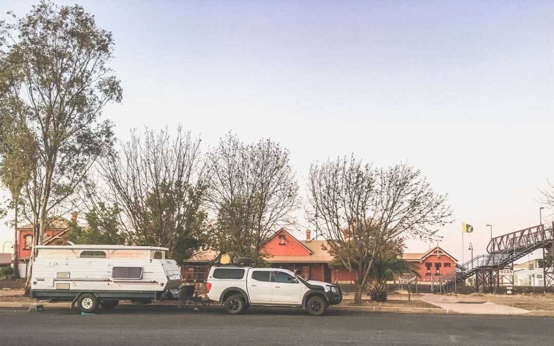
This rest area is a great place for overnight free camping in Nyngan NSW. We’ve stayed here a couple of times on our travels. Nyngan is one of those places we are always passing through at the beginning or end of a trip and this free camp in Nyngan is just perfect to break up a long trip.
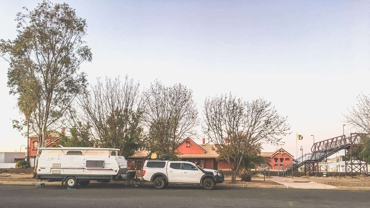
Overnight Free Camping In Nyngan 2019

Overnight Free Camping In Nyngan 2019

Free Camping In Nyngan NSW At Nyngan Rest Area

This free camp in Nyngan has toilets, drinking water and a dump point. It is dog friendly. It is accessible to motorbikes, RVs, camper trailers, caravans and big rigs. You can stay here for up to 24 hours. There is a dump point nearby.
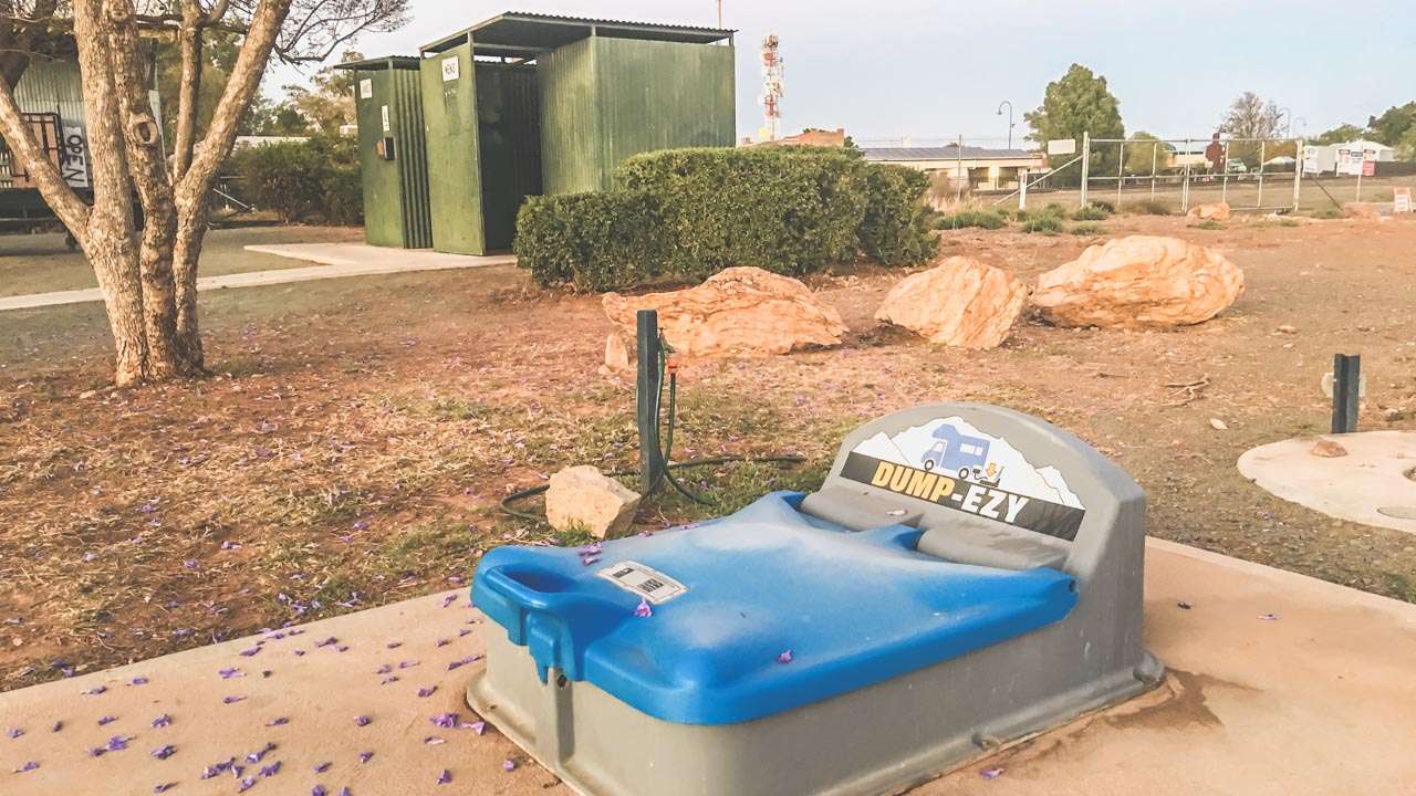
Nyngan Dump Point

Nyngan Dump Point

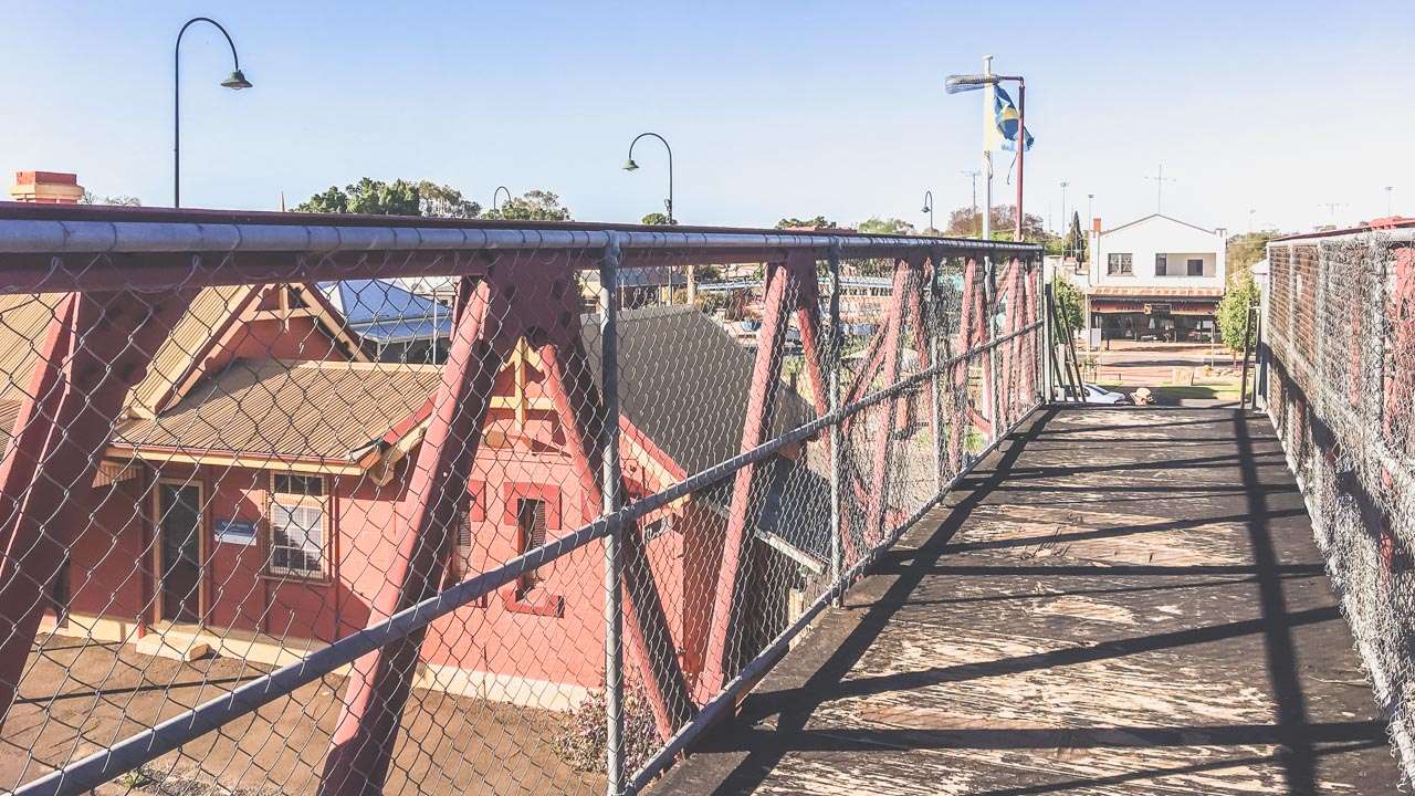
It’s just a short walk across across the railway line into town. We highly recommend the Nyngan RSL club if you’re looking for dinner. The T-bone steaks are huge! You must be fully self-contained.

Darcy Freight Lines Abandoned Building In Nyngan NSW

Darcy Freight Lines Abandoned Building In Nyngan NSW

If you are looking for free camping in Nyngan NSW then this is the place to stop.
IMG 6714

IMG 6714

Top Ten Things To Do In Nyngan

Here’s a list of the top ten things to do in Nyngan New South Wales.

  1. Bogan River Walk – Go for a walk along the Bogan River. There are plenty of great views of the river and surrounding landscapes.
  2. Nyngan Riverside Camping Area – Set up camp at the Nyngan Riverside Camping Area and immerse yourself in the serene ambiance of the Bogan River. Enjoy fishing, kayaking, or simply relax by the riverside with your loved ones.
  3. Nyngan Museum – Check out the history of Nyngan at the Nyngan Museum. There are loads of exhibits and stories that showcase the town’s past beginning with its indigenous roots to its pioneer days.
  4. Nyngan Solar Farm –  Visit the Nyngan Solar Farm, one of the largest solar plants in the Southern Hemisphere.
  5. Girilambone Observatory – Goon a celestial journey at the Girilambone Observatory where you can marvel at the wonders of the night sky through powerful telescopes. Experience the magic of stargazing and gain insights into the universe.
  6. Nyngan Ag Expo – If you’re visiting during August, don’t miss the Nyngan Ag Expo, a celebration of agriculture and rural life.
  7. Cobb & Co. Changing Station – Step back in time at the Cobb & Co. Changing Station. The Cobb & Co changing station is a heritage listed building that once served as a vital stop for travellers and mail coaches. Have a good look around the restored station.
  8. Outdoor Recreation – Get out into the great outdoors with a range of recreational activities. You’ve got bushwalking, birdwatching, and photography. Nearby national parks, nature reserves and scenic viewpoints all close to town.
  9. Take Your Photo Alongside The Big Bogan – Go on, you know you want to do it! Located in the park in the middle of town is the iconic, some might even say world famous “Big Bogan”. Be a proud Aussie and unleash your inner bogan and get a happy snap with him.
  10. Community Events and Festivals – Immerse yourself in Nyngan’s vibrant community spirit by attending local events, festivals, and markets throughout the year.
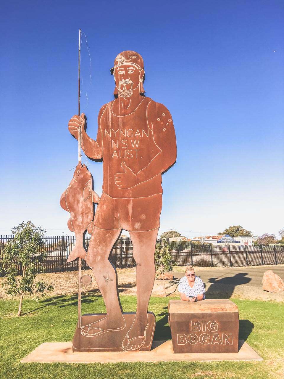
The Big Bogan Nyngan NSW

The Big Bogan Nyngan NSW

Getting To Nyngan

From Sydney, take the M4 motorway heading west towards the Blue Mountains. Continue onto the Great Western Highway (A32), which will take you through the Blue Mountains and towards Bathurst. In Bathurst, take the Mitchell Highway (A32) towards Orange and continue along the highway towards Dubbo. From Dubbo, continue on the Mitchell Highway (A32) towards Nyngan. The total driving distance is approximately 550 kilometers, and the journey takes around 6 to 7 hours, depending on traffic and road conditions.

Travel From to Nyngan Distance Time
Adelaide 1,105km 11:44
Brisbane 929km 10:09
Melbourne 884km 09:25
Sydney 632km 05:38

Abandoned Pub In Nyngan NSW

Abandoned Pub In Nyngan NSW
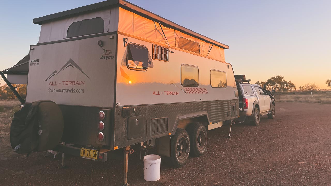
Free Camping in Winton QLD: Your Outback Adventure Awaits!

Free Camping in Winton QLD: Your Outback Adventure Awaits!

Free Camping in Winton QLD: Your Outback Adventure Awaits!

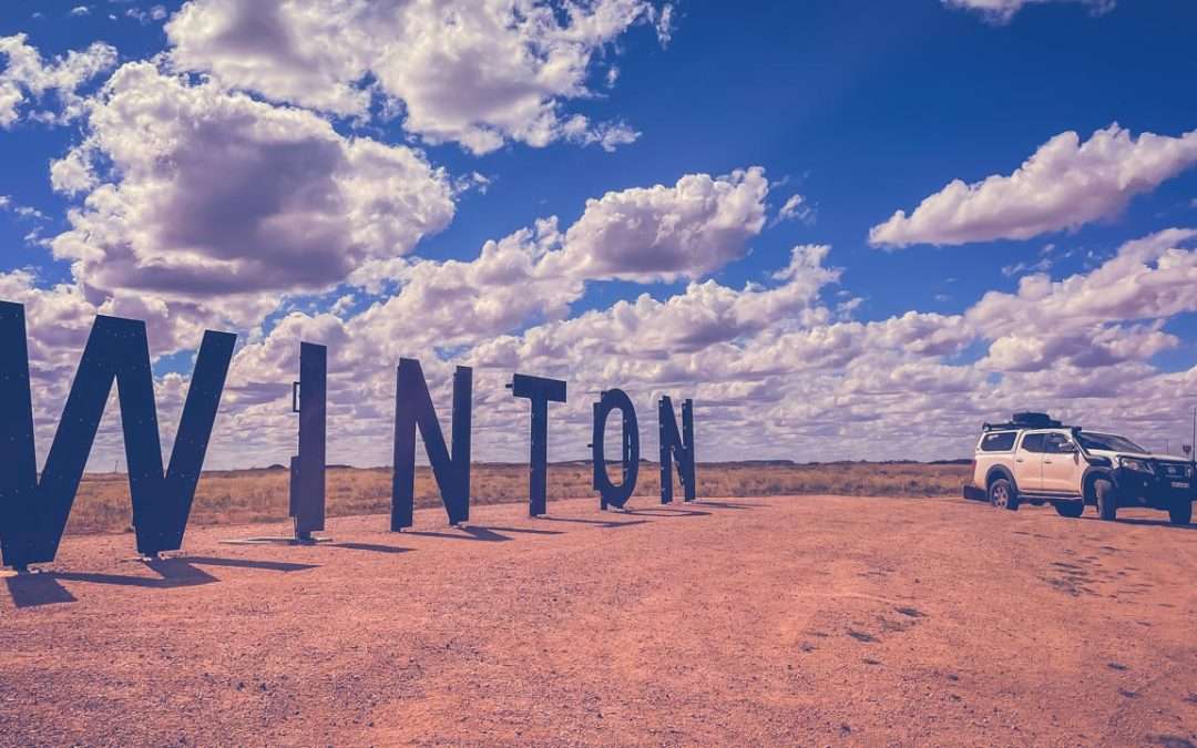
In this blog post we have a look at some free camping in Winton. Winton is a small town nestled in the heart of Outback Queensland. A great place to explore the outback and a must do for adventure seekers. Known for its rich history, stunning landscapes, it is an iconic Australian outback experience.

Winton offers an excellent opportunity for free camping. If you’re looking to immerse yourself in the rugged beauty of the Australian Outback without breaking the bank – free camping in Winton is the way to go.

Plan Your Visit

Before heading off on your journey to Winton it’s important to plan your visit carefully. Research the weather, local attractions, and the best time of year to visit. While free camping is a cost-effective way to explore the area, be prepared for the extreme temperatures of the Outback. It’s recommended to visit during the cooler months (May to September) for a more comfortable experience. And if you aren’t a fan of flies then maybe give it a miss.

  • Sufficient water and food supplies.
  • A first-aid kit.
  • Adequate clothing for varying temperatures.
  • A reliable GPS or maps for navigation.
  • Camping gear, including tents, sleeping bags, and cooking equipment.

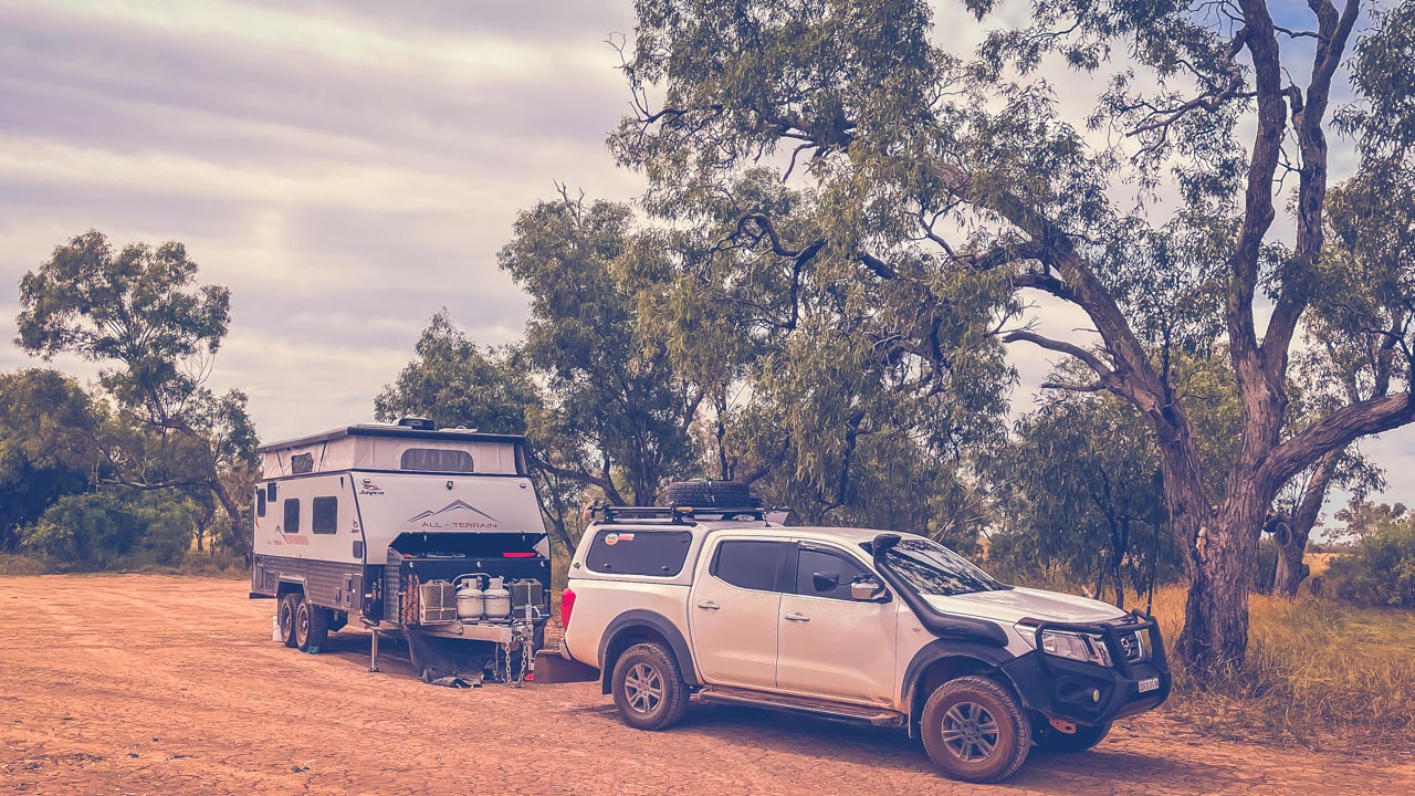
Setup At Mistake Creek Free Camping In Winton QLD

Setup At Mistake Creek Free Camping In Winton QLD

Exploring Winton

With the high cost of fuel and the long distances to get to Winton free camping is a fantastic way to save on accommodation costs. Winton offers a wide range of attractions to explore.

  1. Australian Age of Dinosaurs: Discover the world’s largest collection of Australian dinosaur fossils at this renowned museum.
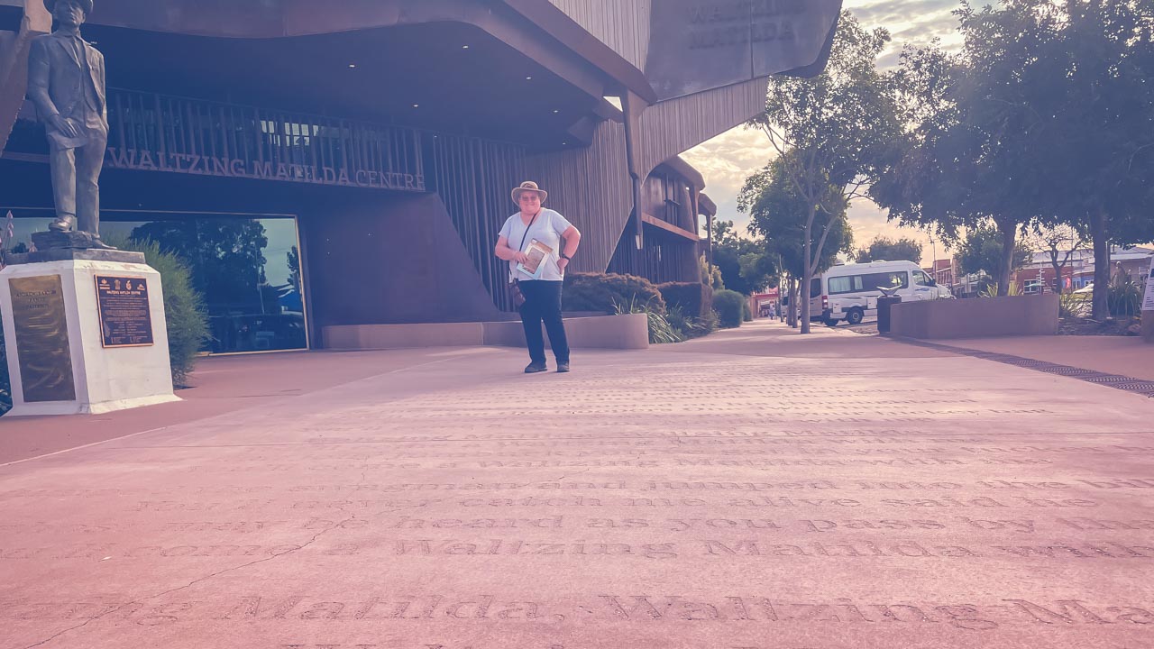
  2. Waltzing Matilda Centre: Learn about the history of the famous song “Waltzing Matilda” and its connections to Winton.
  3. Lark Quarry Dinosaur Trackways: Explore a unique site with preserved dinosaur footprints.
  4. Adventure Drives: Take advantage of the stunning 4WD routes in the region including the famous “Winton to Boulia.”

Amanda At The Waltzing Matilda Centre Winton QLD

Amanda At The Waltzing Matilda Centre Winton QLD

Places Available For Free Camping In Winton

1. Mistake Creek

  • This is a free campground beside a creek. It is dog friendly.
  • It is accessible to RVs, camper trailers, caravans and big rigs. Camping in tents is allowed.
  • There are no facilities. Take all rubbish with you and leave no trace.
  • Dogs are permitted.
  • This area may become muddy and slippery when wet.

Type: Free Camping
Cost: Free
Location: Winton-Jundah Rd, Winton, Queensland
GPS: -22.417848°, 143.033297°
Pet Friendly: Yes

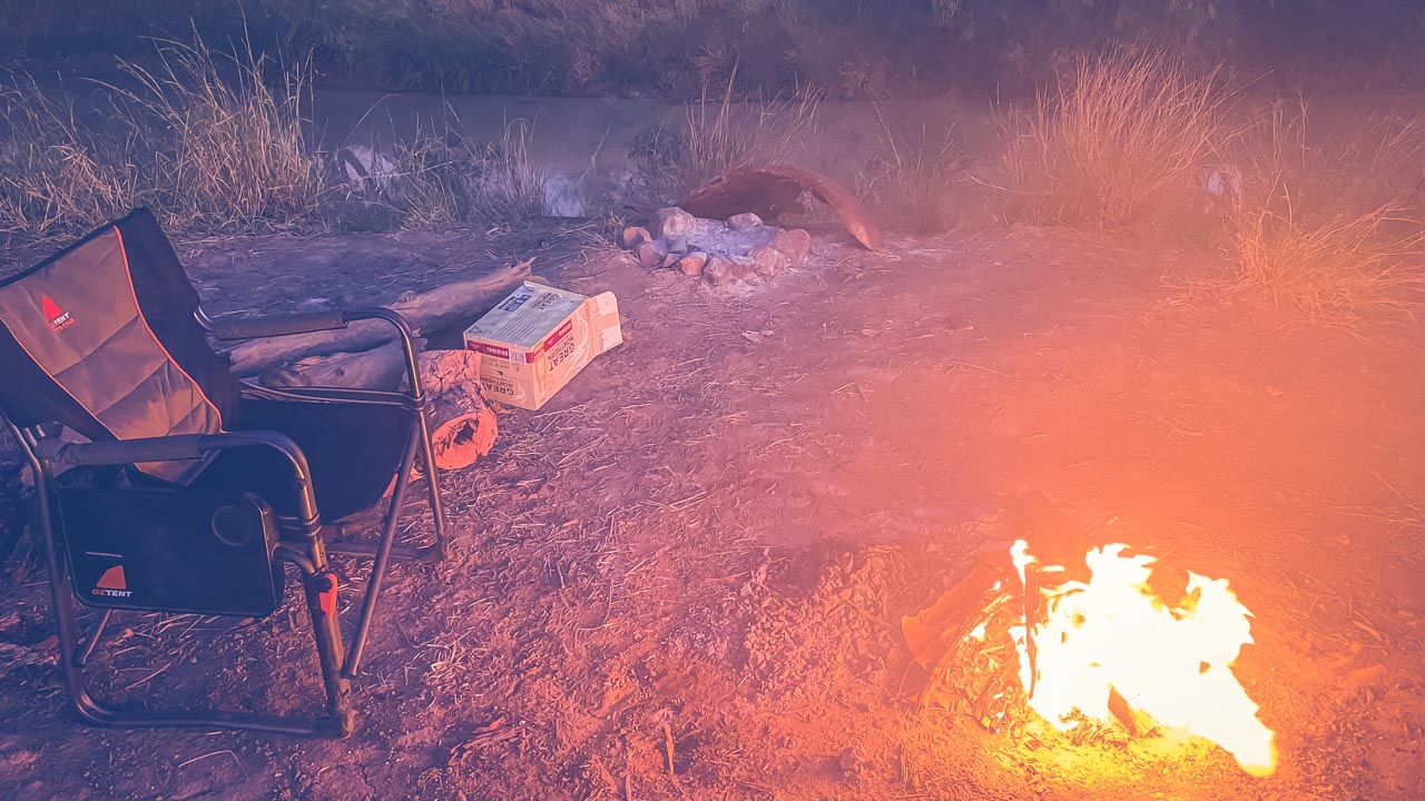
Campfire At Mistake Creek Winton QLD

Campfire At Mistake Creek Winton QLD

2. Mistake Creek Overflow

  • It is accessible to RVs, camper trailers, caravans and big rigs. Camping in tents is allowed.
  • There are no facilities. Take all rubbish with you and leave no trace.
  • Dogs are permitted.
  • This area may become muddy and slippery when wet.

Type: Free Camping
Cost: Free
Location: Winton-Jundah Rd, Winton, Queensland
GPS: -22.419791°, 143.032828°
Pet Friendly: Yes

3. Long Waterhole

This is commonly known as the locals’ waterhole, It is approximately 2kms from Winton on the Jundah Road. Long Waterhole is man-made and was once used during the Outback Festival as the site for the World Crayfish Derby!

The townsfolk often go there in the summertime for a swim and occasionally a speedboat will be launched for a spot of water-skiing.

  • If you carry it in, carry it out
  • Dont burn, dump or bury rubbish
  • Leave the campsite clean and tidy
  • Take only photographs and leave only footprints

WARNING – The area is prone to being affected by rain and flood water. Be aware and evacuate the area immediately as necessary.

Type: Free Camping
Cost: Free
Location: Winton-Jundah Rd, Winton, Queensland
GPS: -22.412903°, 143.058587°
Pet Friendly: Yes

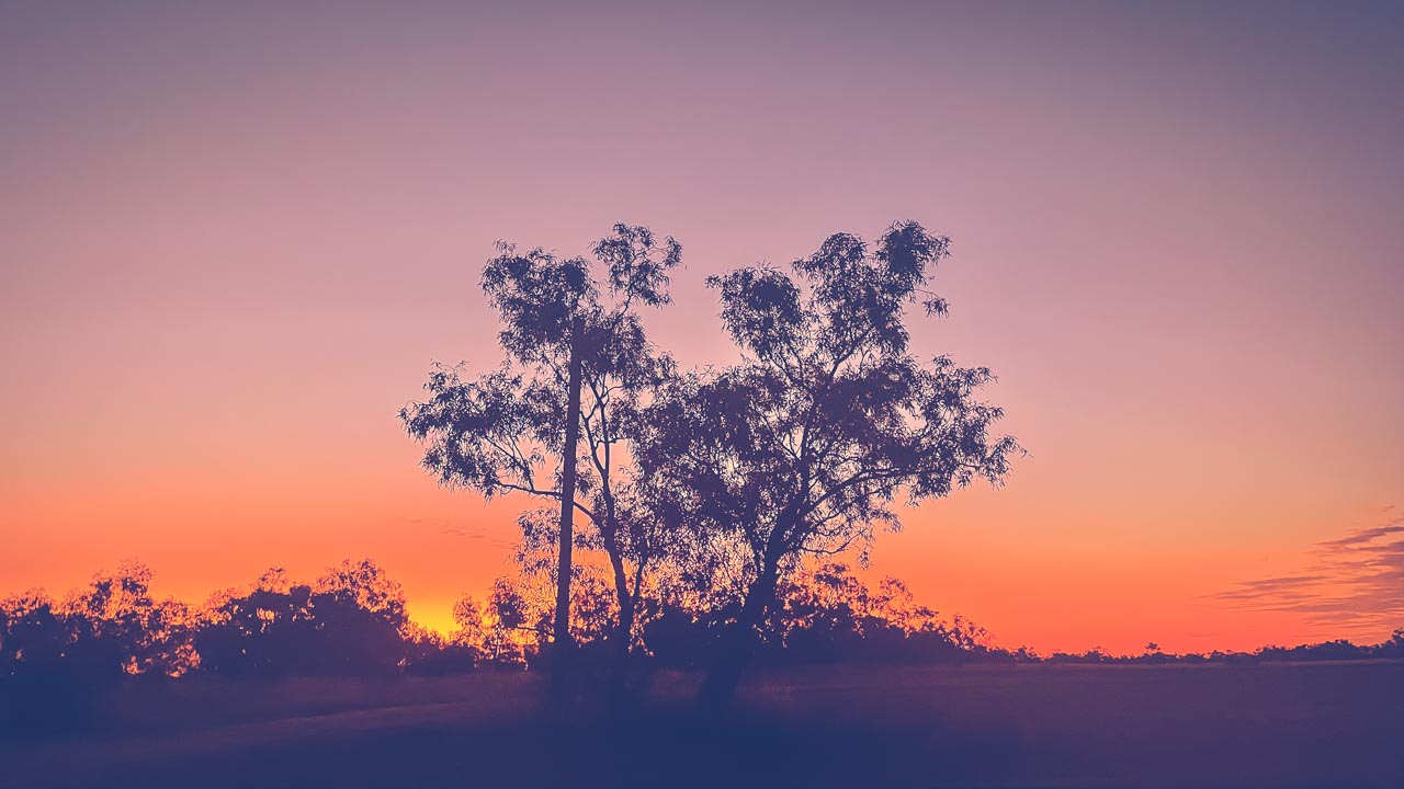
Sunset At Mistake Creek While Free Camping In Winton

Sunset At Mistake Creek While Free Camping In Winton

Is Tennant Creek Worth Visiting?

Is Tennant Creek Worth Visiting?

Is Tennant Creek Worth Visiting?

This is what we were told. Don’t go. You’ll be robbed. It’s dirty. There is nothing to do there. The best way to see it is in your mirrors. So is Tennant Creek worth visiting? YES!

We visited Tennant Creek in September 2022 with mates of ours Deb & Kev. We had absolutely no trouble at all while staying in Tennant Creek. Sure it’s a bit different to what we are used to in rural NSW – but isn’t experiencing different things the biggest reason we all travel?

The RSL Club

We ate dinner at the RSL club one night and had awesome steaks. The atmosphere was friendly at all times. There were lots of people from out of town having dinner there as well as loads of locals. It was just like any RSL we have visited and we’ve visited at least a hundred of them over the years.

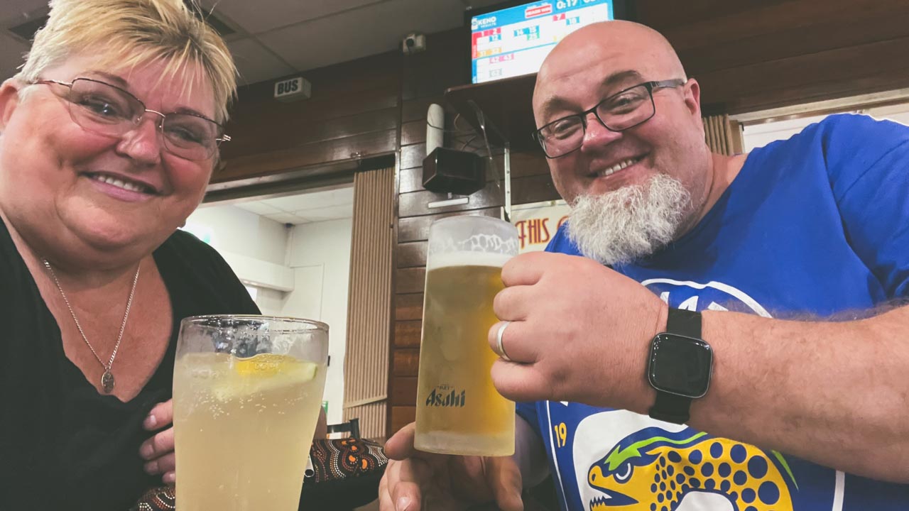
Tennant Creek RSL Beers And Ginger Beer

Tennant Creek RSL Beers And Ginger Beer

Woks Up Chinese Restaurant

On our second night in Tennant Creek we had dinner at the Woks Up Chinese Restaurant. What a great place! The food was excellent, as good as any Chinese I have ever eaten. The restaurant itself is all funky and modern inside – not what I was expecting. The service was quick and friendly and the prices charged were very reasonable. I really wasn’t expecting such a great experience given all of the reviews of Tennant Creek I had read. The answer to the question Is Tennant Creek worth visiting should be a massive yes just because of Woks Up on it’s own.

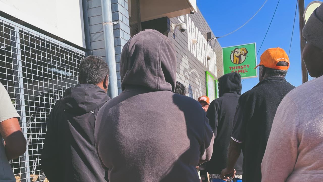
Lining Up For A Carton Of Beer

Alcohol is only sold at bottle shops between given hours – from memory it is between 04.00pm and 07.00pm. Don’t quote me on the hours but it’s something like that. On the afternoon we arrived in Tennant Creek we were confused and amused to see people lining up to get in to the towns bottle shops. So of course we had to give it a go! The lines were orderly and everyone was well behaved and friendly. We had a great chat and some friendly banter with a lot of the people lined up around us. The line moved quickly, we got in to the bottle shop and made our purchase. And surprise surprise the prices were no different to what you’d find in Western Sydney.

Tennant Creek NT Lining Up Outside The Bottle Shop

Tennant Creek NT Lining Up Outside The Bottle Shop

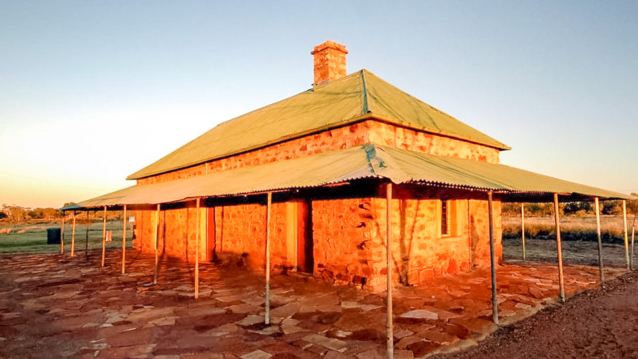
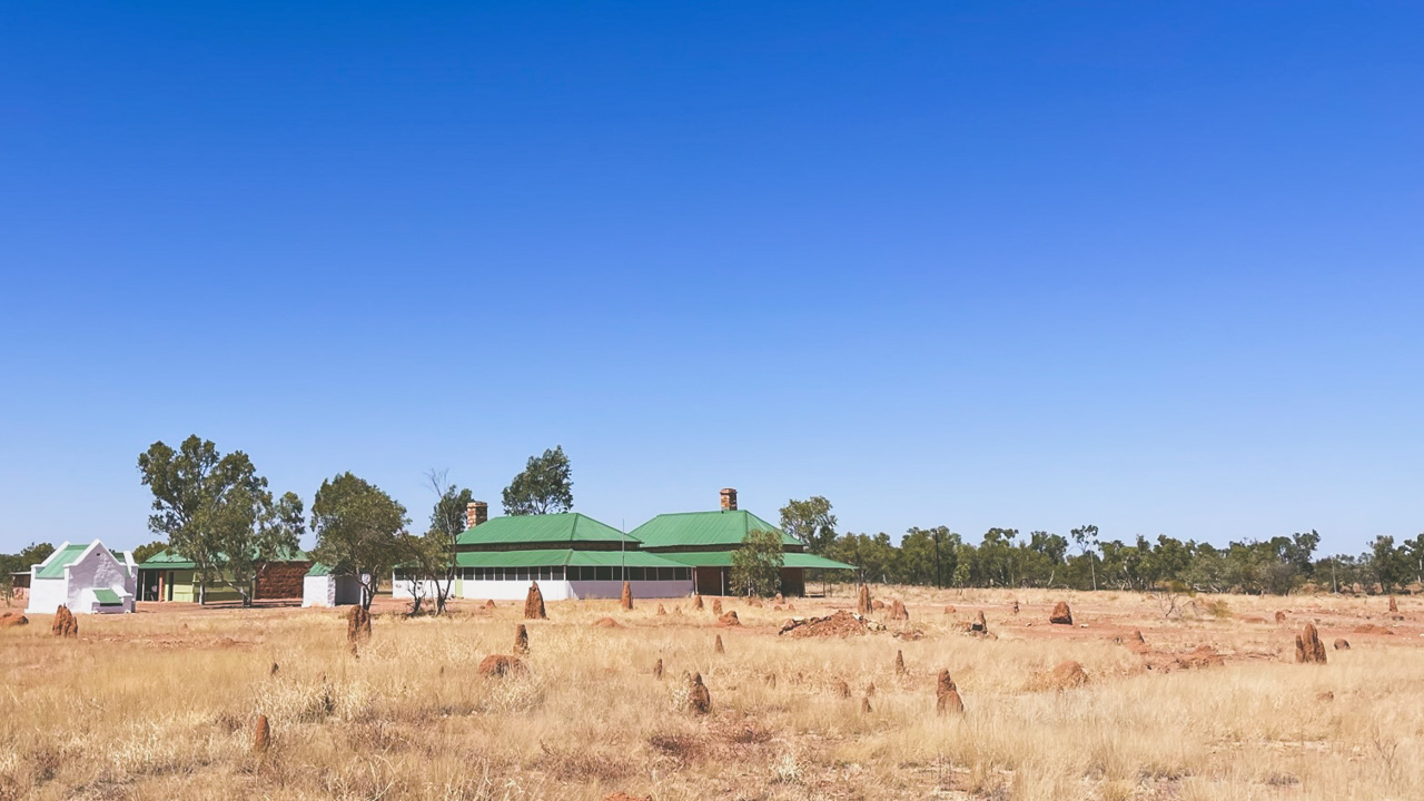
Tennant Creek Telegraph Station

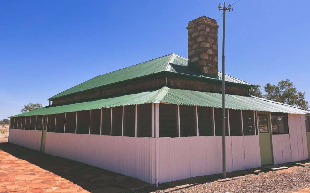
We visited Tennant Creek Telegraph Station and it was a great experience. A few days previous we visited the Alice Springs Telegraph Station and we were interested in a comparison between the two.

Tennant Creek Telegraph Station

Tennant Creek Telegraph Station

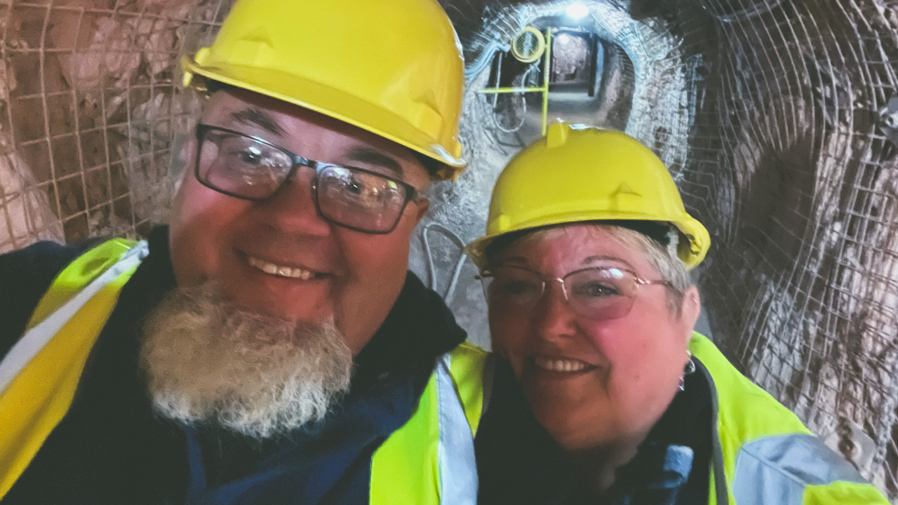
Battery Hill Underground Mine Tour At Tennant Creek

We visited Battery Hill and went on the Battery Hill Underground Mine Tour At Tennant Creek. It was both educational and interesting. It’s the first time we have been down a gold mine. We have been down about a dozen opal mines and a few silver mines but never a gold mine.

Battery Hill Underground Mine Tour At Tennant Creek

Battery Hill Underground Mine Tour At Tennant Creek

Tennant Creek Caravan Park

We stayed at the Tennant Creek Caravan Park at the northern end of town and the facilities were great. The park was fully fenced with a sliding gate to control access in and out after 6.00pm. Pricing was excellent. We paid $38 a night for a powered site. The sites were all generous in side. The showers and toilet blocks were clean and spacious. I’d recommend staying here if you are in town.

They have a range of accommodation options available.

  • Powered sites
  • Unpowered sites
  • Camping sites
  • Cabins.

Some of their additional facilities include,

  • Camp kitchen with fridge
  • Shaded swimming pool
  • Coin operated laundry
  • Pet friendly
  • Gas refills
  • BBQs

So Is Tennant Creek Worth Visiting?

Is Tennant Creek worth visiting? Absolutely it is. It’s a great place with loads of different things to experience. We felt safe at all times while we were there and had loads of great interactions with the locals. Be sensible. Lock your stuff up at night. Talk to people. And above all else go and visit and find out for yourself – don’t just take the word of people who’s cousins neighbour knew a bloke from work who had a bad experience there!

Camooweal Billabong Free Camping

Camooweal Billabong Free Camping

Camooweal Billabong Free Camping

A great place for a stopover between Tennant Creek and Mt Isa. Located in Camooweal QLD Camooweal Billabong free camping is a huge free camp on Lake Francis. There are no facilities. Approximately 100 caravans can be easily accommodated.

Camooweal Billabong Free Camping

Camooweal Billabong Free Camping

Camooweal Billabong Free Camping

Whilst at Camooweal Billabong free camping brolgas and other water birds can be seen in abundance. Campfires are allowed. This is a worthwhile stopover after Mount Isa on the way to NT. Camooweal is an outback town and locality in Queensland, Australia. In this locality, Queensland meets the Northern Territory. Camooweal had 208 residents in the 2016 census.

Camooweal Billabong Empty

Camooweal Billabong Empty

Camooweal Geography

Camooweal is located in the western Gulf Region, bordering the Northern Territory on the west. Camooweal is located in the southwest corner of the locality. 169 kilometres from Mount Isa and 12 kilometres from the Northern Territory border, this town is located in the north-west of the city.

From the south (Barkly), the Barkly Highway passes east to west through the town center (where it’s known as Barkly Street) and then exits to the west (Northern Territory).

In this locality, the Georgina River enters from the west (Northern Territory), passes immediately west of town, then exits to the south (Barkly). The Georgina River and Lake Canellan (also known as Lake Francis and Lake Canellan) lie south-east of the town. Lake Mary, also located along the river, is 7 kilometres northwest of town (19.8666°S 138.1°E).

The locality is a drainage divide running from the north-west to the south-east of the locality. A tributary of the Nicholson River flows into the Gulf of Carpentaria to the north of the locality. In the south and west of the locality, waterways are tributaries of the Georgina River, which forms part of the Lake Eyre drainage basin.

Camooweal Billabong Free Camping Spectacular Sunset

Camooweal Billabong Free Camping Spectacular Sunset

Camooweal QLD History

  • First inhabited by Indigenous Australians, the area was known as Indjilandji.
  • William Landsborough named the Barkly Tablelands after His Excellency, Sir Henry Barkly, Governor of Victoria in 1861. Frances Landsborough was also the name he gave to his niece Lake Francis. Britisher George Sutherland was the first to settle in the area. George took up the Rocklands lease in 1865. He arrived at Lake Mary with 8,000 sheep. This caused the Aboriginal people who were Sound asleep at the time to get up and run. In the following months they attacked Sutherland a couple of times. After fellow colonists William Lyne and Henry Steiglitz turned up Sutherland “deemed it fully time to make a raid and drive them back.” One of the colonialists fired a shot that hit a group of boomerangs. This scared the Aboriginal people into fleeing. Sutherlands stock suffered serious losses to the local dingos and wedge-tailed eagles. In addition, lack of water and isolation soon forced him to abandon his lease. Other Englishmen Benjamin Crosthwaite and William Tetley were marginally more successful. They took up the lease in 1876.
  • The origin of the town’s name is not really known. A theory is that it take its name from surveyor George Telford Weale. George first surveyed the area with camels in the early 1880s. Get it – CamelWeale? Another theory has it that it is an Aboriginal word meaning strong wind.
  • Camooweal Provisional School opened on June 5, 1893.
  • The town had
  • On 2 January 1931, a Qantas Air Ambulance from the Royal Flying Doctor Service of Australia rescued a man in Camooweal and delivered him to Brisbane. The plane was flown by piloted by E.G. Donaldson
  • The road through Camooweal to the Northern Territory was built by army engineers. Now the Barkly Highway it was the inland defence route during World War II. This road carried in excess of 1000 vehicles a day. These days there are numerous historical sites marked alongside the road.
  • The town first had electricity in 1952.
  • St Therese’s Catholic Church was officially opened on 30 April 1961 by none other than the Bishop of Townsville Hugh Edward Ryan.
  • Camooweal Caves National Park opened on 16 December 1994.
  • Given the economic importance of transport on the Barkly Highway a constant problem was is flooding of the Georgina River. During floods the Barkly Highway bridge over the Georgina River became unusable for many days. Road trains and other heavy vehicles had to wait weeks before they were able to cross. The new Georgina River Bridge was officially opened on 20 December 2002 by Senator Ron Boswell and Steve Breadhauer the Minister for Transport in the Queensland Government. Replacing the previous bridge which was approximately 50 metres (160 ft) south it is both higher and longer so traffic on the highway can continue to cross during floods.
  • In the 2016 census, the locality of Camooweal had a population of 208 people.

Camooweal Billabong Huge Free Camping Area

Camooweal Billabong Huge Free Camping Area

We Visit Kunjarra (The Pebbles) Tennant Creek

We Visit Kunjarra (The Pebbles) Tennant Creek

We Visit Kunjarra (The Pebbles) Tennant Creek

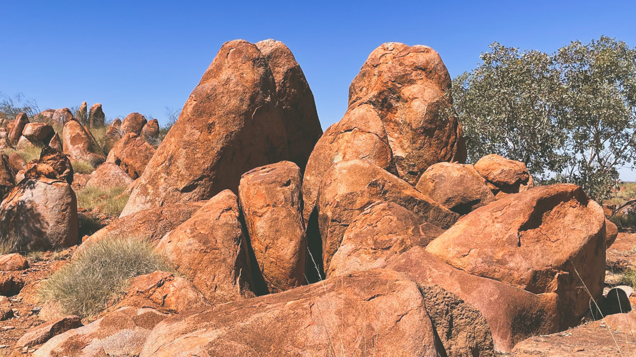
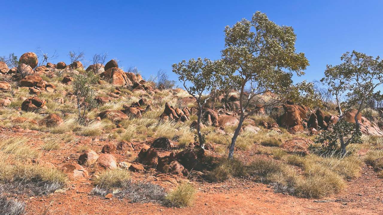
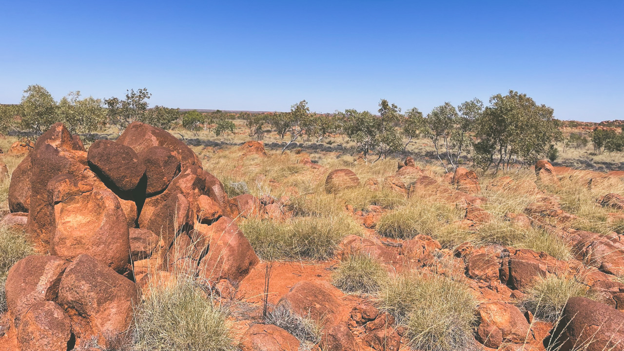
We visited Kunjarra/The Pebbles just north of Tennant Creek and were awed by their beauty and presence. Personally I found it to be a magical place great importance to me.

Not as visually large or impressive as Karlu Karlu (The Devils Marbles) to the south of Tennant Creek they make up for it with what they are and what they mean to the regions first people the Warumungu.

Kunjarra The Pebbles Tennant Creek

Kunjarra The Pebbles Tennant Creek

I found them to be visually quite stunning set amongst the red dirt country with a very bright blue sky as a backdrop. What I wasn’t prepared for was how they made me feel that time had stood still and I was there a thousand years ago waiting for a ceremony to begin. I don’t claim to be of aboriginal heritage however as an Aussie I am deeply rooted to this country and land and standing there surrounded by Kunjarra/The Pebbles made me extra aware of this.

The Pebbles Tennant Creek

The Pebbles Tennant Creek

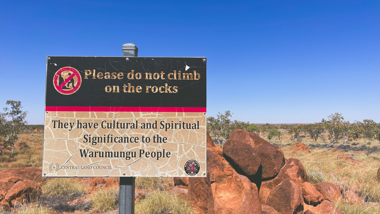
Kunjarra/The Pebbles are an extensive outcrop of granite boulders located 11 kilometres north of Tennant Creek. The sign boards at the site do a great job of explaining the cultural significance as well as how they fit in to the landscape and culture of the Warumungu Aboriginal people.

Kunjarra Tennant Creek

Kunjarra Tennant Creek

Known to the Warumungu Aboriginal people as Kunjarra/The pebbles. It is a sacred womens site where dancing and healing rites of the Munga Munga dreaming take place.

Accessing Kunjarra/The Pebbles

Access is about 500m past the Telegraph Station on the left for those travelling north on the Stuart Highway. There are six kilometres of unsealed road so high clearance vehicles are recommended. When we visited (August 2022) the dirt section was in pretty good condition with only a few corrugated sections.

Kunjarra/The Pebbles are open for visitor day use only. Camping is not permitted. There is a well formed walking track that winds around the site. Toilets are available.

Kunjarra The Pebbles Sign

Kunjarra The Pebbles Sign

We Visit Tennant Creek Telegraph Station

We Visit Tennant Creek Telegraph Station

We Visit Tennant Creek Telegraph Station

We visit Tennant Creek Telegraph Station and it was a great experience. A few days previous we visited the Alice Springs Telegraph Station and we were interested in a comparison between the two.

Tennant Creek Telegraph Station Telegraph Office

Tennant Creek Telegraph Station Telegraph Office

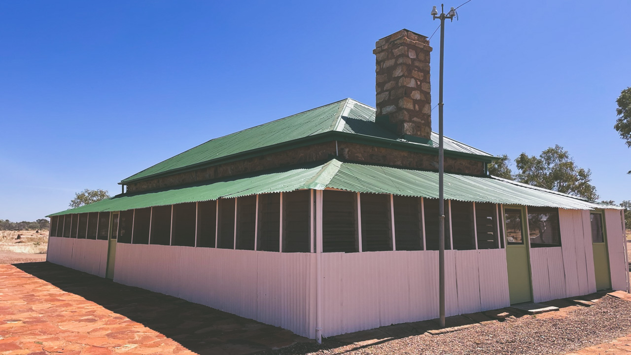
The Tennant Creek Telegraph Station is a lot more basic in it’s construction and is situated further out of town so it seems to be more rural and rustic in it’s appearance and construction than the one in Alice Springs. Tennant Creek township however was never really intended to exist so I get why the Telegraph Station seems to be a long way out of town. If it wasn’t for the telegraph station being where it was then they would possibly have not found gold near where the current Tennant Creek town is situated so the town may never have existed. Bit of a catch 22 situation.

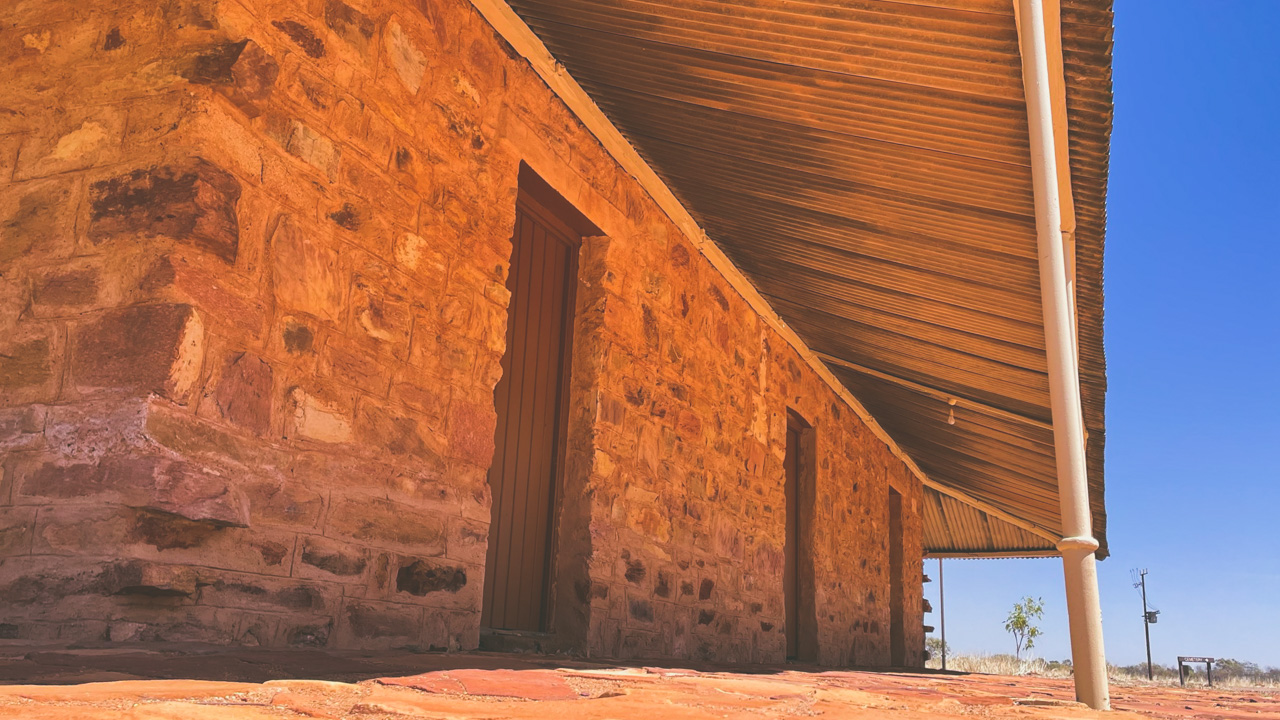
Tennant Creek Telegraph Station Verandah

Tennant Creek Telegraph Station Verandah

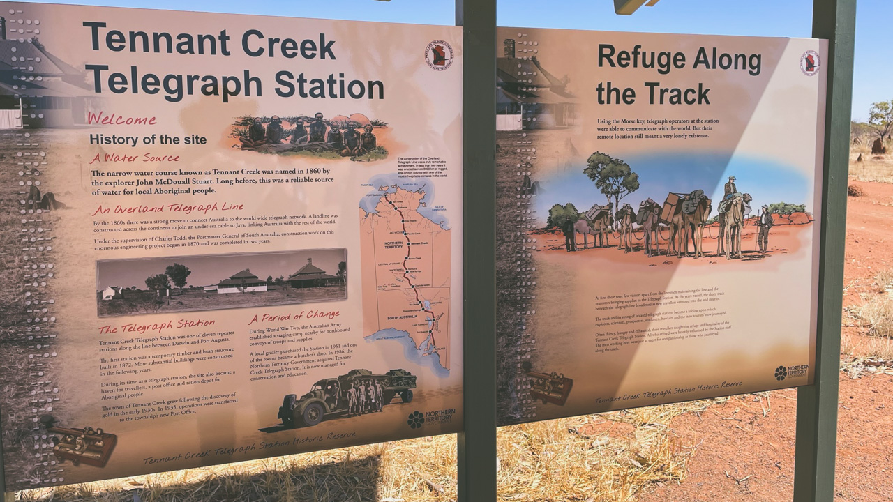
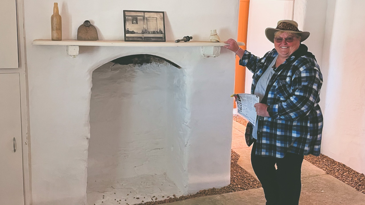
There has been some restoration work done on the Telegraph Station at Tennant Creek and it has been done very well. Signs around the reserve explain things clearly and there are some really good displays of artefacts to be found inside some of the buildings.

Information Board

Information Board

Our visit to Tennant Creek Telegraph Station was a very worthwhile experience. It was both educational and at the same time made us reflect on just how hard the pioneers of our country had it. We highly recommend that if you are in the area that you check it out for yourselves.

Telegraph Station Inside Fireplace

Telegraph Station Inside Fireplace

About The Tennant Creek Telegraph Station

From Adelaide to Darwin the Overland Telegraph Line was constructed along a route that had been successfully traversed by John McDouall Stuart in 1862. The colonial telegraph system was Australia’s first connection to Britain completed in 1872.

Tennant Creek Telegraph Station

Tennant Creek Telegraph Station

A temporary bush timber building was erected in 1875 followed by a permanent building made from stone quarried nearby. Telegraph Stations provided early explorers, pastoralists, and travellers with water and supplies in addition to operating the line.

Tennant Creek township was established in 1925 as a result of the discovery of gold by a linesman. The old Telegraph Station was closed in 1935 when a post and telegraph office opened in the thriving town of Tennant Creek. Although the station closed in 1966 it continued to play an important role in the development of the region. Supplying meat and water to the new town.

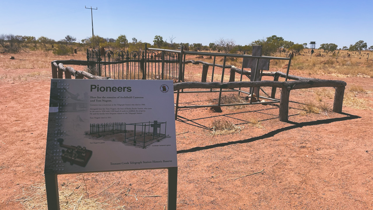
Tennant Creek Telegraph Station Pioneer Cemetary Graves

Tennant Creek Telegraph Station Pioneer Cemetary Graves

A Long Aboriginal History In The Area

The region was first occupied by Warumungu people. There was a major upheaval in their lives as a result of the Overland Telegraph line being developed and pastoral activities commencing. Aboriginal people used the well as a water source during the severe droughts of the 1880s. The Telegraph Station was transformed into a rations store in 1890 when flour, sugar, tea, and blankets were distributed.

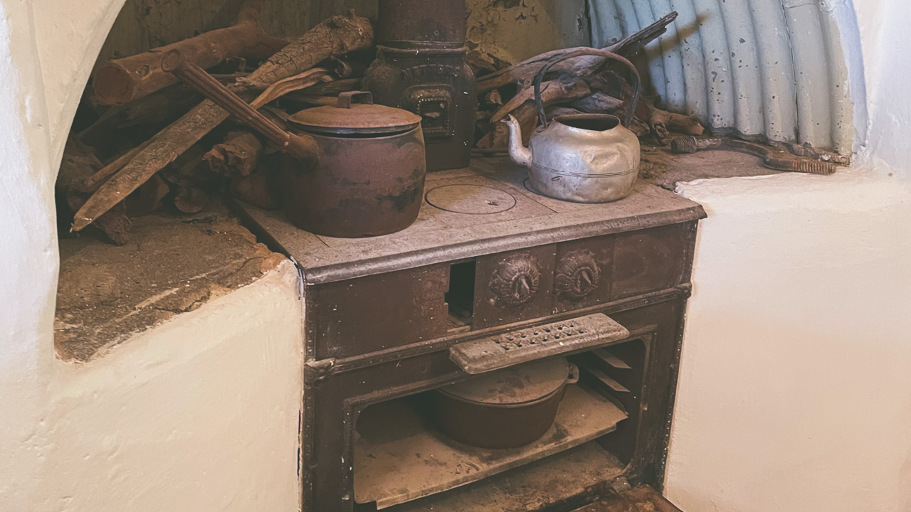
Metters Stove & Camp Oven

Metters Stove & Camp Oven

A mining permit over the Warumungu Aboriginal Reserve was issued in 1934, after the reserve was established by 1892. “The Warumungu people at Telegraph Station perform such a variety of ceremonies that both researchers are quite exhausted keeping records,” said Spencer and Gillen, who set up a dark room to process photographs at the station.

Access To The Tennant Creek Telegraph Station

A 10-km drive north of Tennant Creek on the Stuart Highway leads to the Reserve. Visitors can borrow keys from the Battery Hill Visitor Centre on Peko Road in order to gain access inside the buildings at the Tennant Creek Telegraph Station. Identification and a deposit are required.

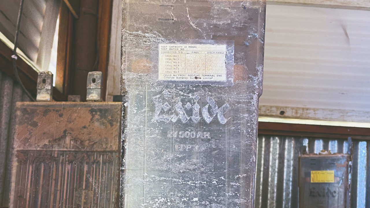
Old Exide Battery Used To Power Overland Telegraph Line Equipment

Old Exide Battery Used To Power Overland Telegraph Line Equipment

Pin It on Pinterest