Dunlop Station Camping & Tour Review
Dunlop Station Camping & Tour Review
Camping and the station tour at Dunlop Station near Louth on the Darling River Run was a fantastic experience. We camped there with friends in early October 2025. I highly recommend doing both.
Table Of Contents
- Dunlop Station Camping
- Dunlop Station Camping At A Glance
- Dunlop Station Camping Facilities
- Dunlop Station Tour
- Tours At Dunlop Station At A Glance
- Dunlop Station Highlights
- The First To Use Mechanical Shears
- Swimming At Dunlop Station
- How To Contact Dunlop station
- How To Get To Dunlop Station By Car
- Wrapping Up
- Photo Gallery – October 2025
Dunlop Station Camping
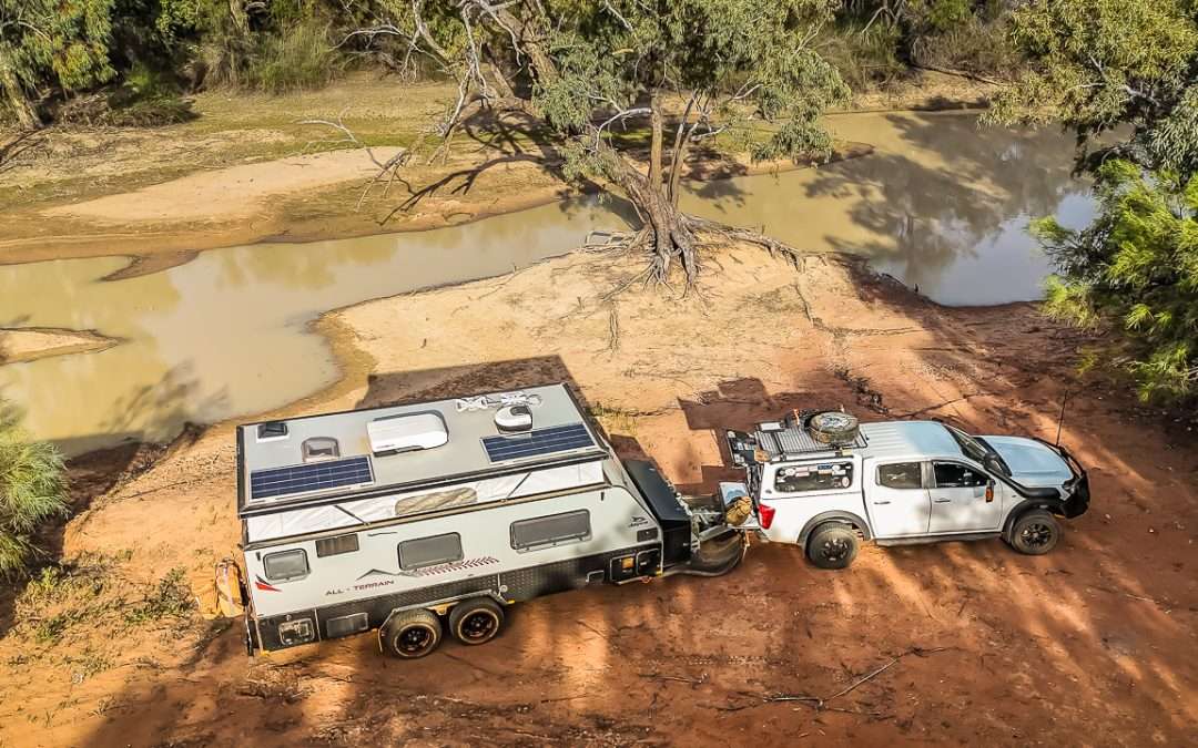
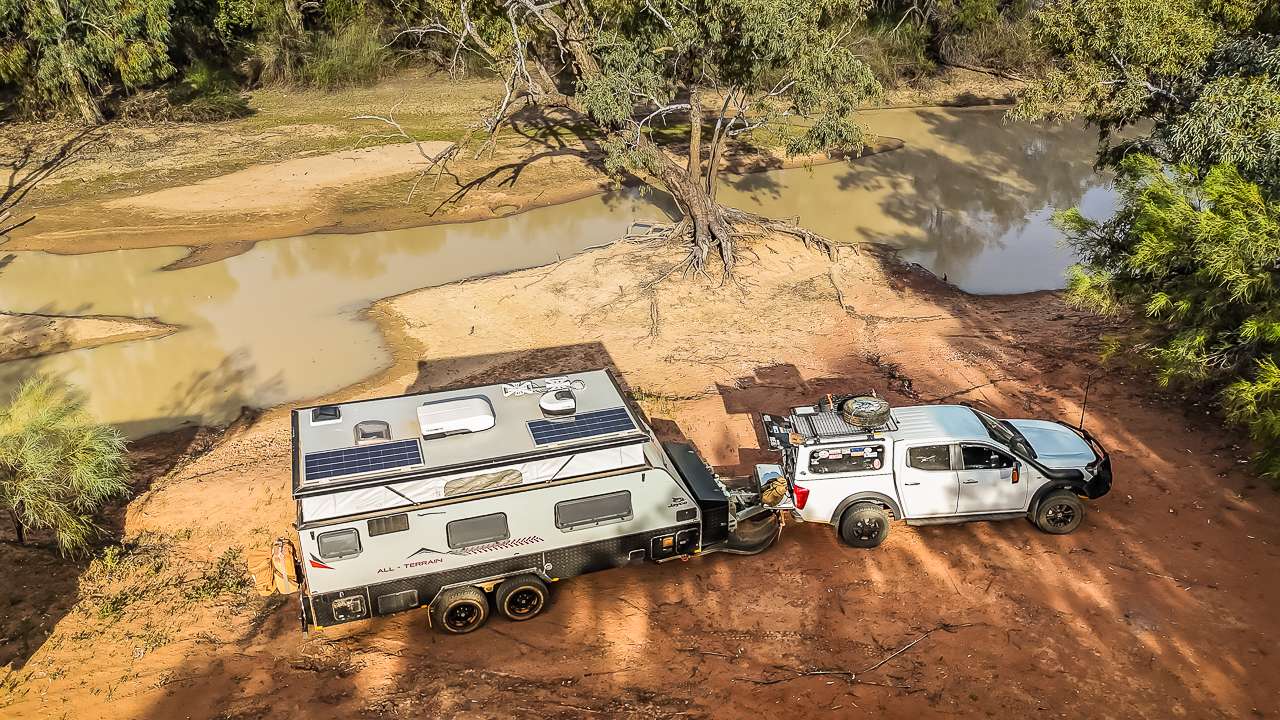
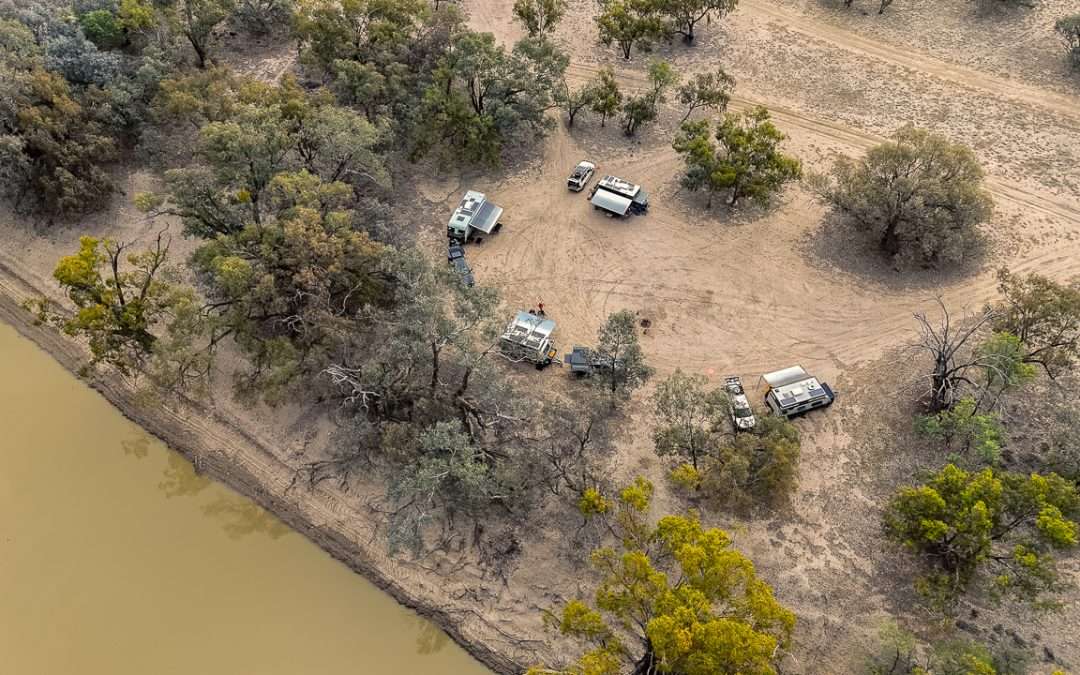
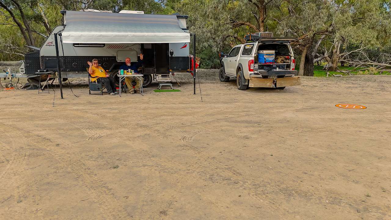
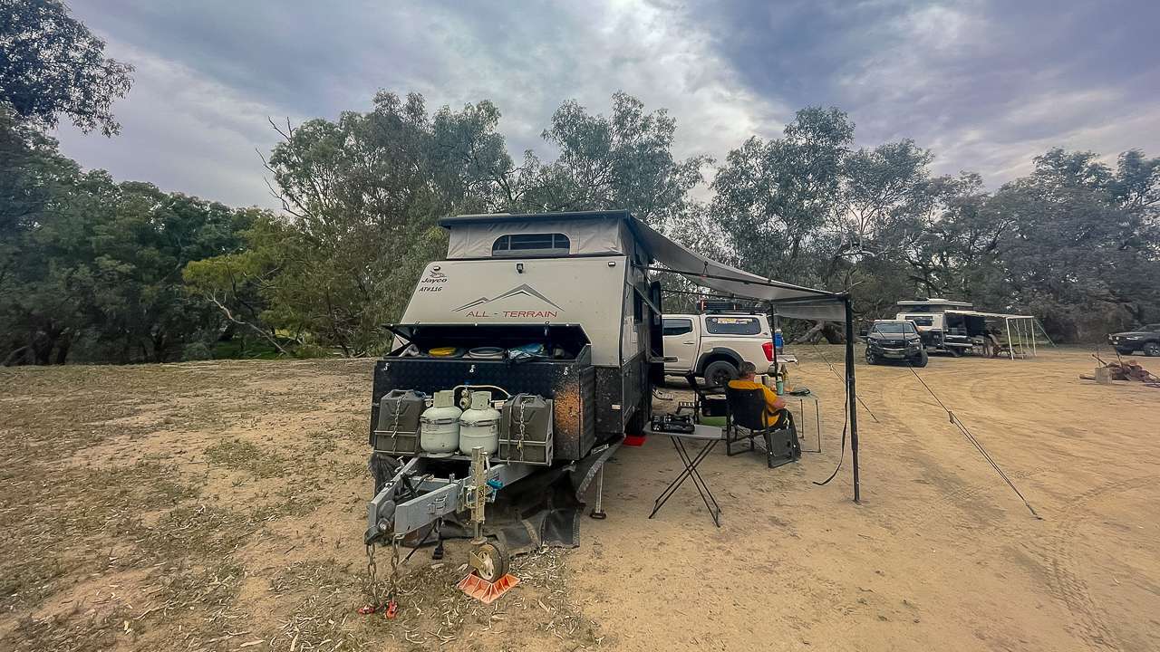
Camping at Dunlop Station was a great experience. All sites are located on the bank of the Darling River. There are toilets and hot showers available up near the shearing shed. The site we stayed on was absolutely huge with a central firepit – we had four caravans in our group and we were all spread out. We could have fitted at least another half a dozen easily. Access to the site was easy.
We were met at the gate by one of our hosts and they led us out to the site and we followed them in. I think the drive was about three kilometres from the homestead so you got the feeling of being the only ones there.
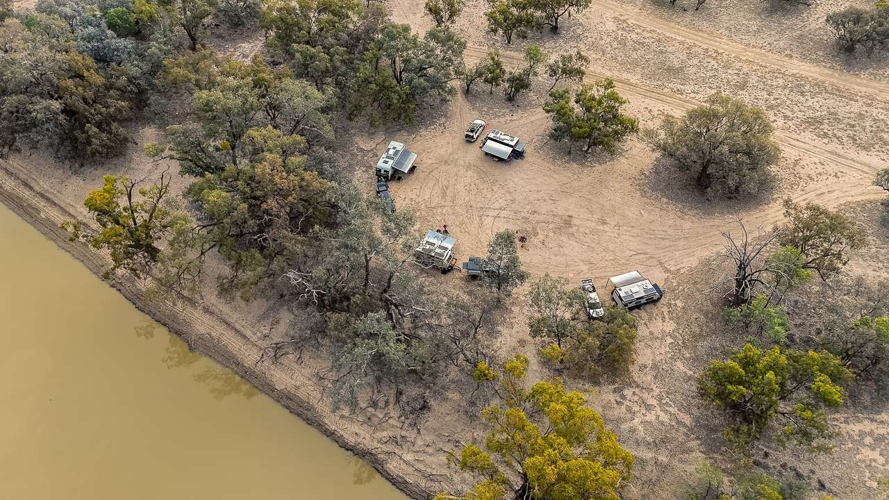
Campsite At Dunlop Station
Dunlop Station Camping At A Glance
Address: 10045 Toorale Rd, Louth NSW 2840
GPS Coordinates: -30.6336422, 145.0160746
Amenities: Showers & Toilets Across Near The Shearing Shed
Accessibility: Caravans, Camper Trailers, Vans, Tents
Cost: $20 per night
Bookings: Required
Pet Friendly: Yes
Phone: 0458472698
Email: kjchandler2@bigpond.com
Website: https://www.dunlopstation.com/
Dunlop Station Camping Facilities
The campsites are suitable for caravans, fifth wheelers, camper trailers, motorhomes, campervans and tents. Sites are pull-in / drive-through style with a flat loose dirt/gravel surface.
The campsites are all unpowered with no electrical, water or grey water / black water. There is zero tv reception but hey you’re in the middle of the outback! Also keep in mind that generators are not permitted.
Fires are allowed and all sites that we saw had a nicely constructed firepit. As mentioned earlier the firepit for ours was located right in the middle of the camping area so worked great for us. As an added bonus there was a good sized pile of firewood already cut for us and stacked alongside the firepit. We had fires both nights and there was more than enough wood provided. We were told that if the wood provided wasn’t enough that we were allowed to cut some more from anything that was dead on the ground – there was plenty but we didn’t need it.
I highly recommend Dunlop Station camping. If you ever get the chance to camp at Dunlop Station for a night or two then do it.
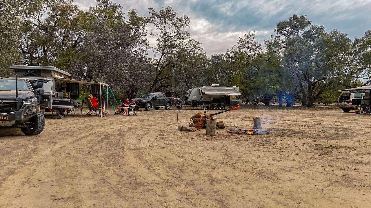
Great Central Firepit With Firewood Provided
Dunlop Station Tour
Morning Tea
The tour of Dunlop Station kicked off with morning tea at 11am so us and the mates we were travelling with all met up at the homestead. The tour is really popular and besides us and our mates there were a LOT of other people going on the tour. Some were camping at Dunlop Station and quite a few had called in for the day just to do the tour.
Morning tea was great, scones, biscuits, slices, assorted cakes and tea and coffee. The scones were particularly nice. I was expecting the usual jam and cream on them however instead there was a kind of tomato chutney. I never thought I’d have scones and chutney however they go together so well I’ll be having them that way again!
History Of Dunlop Station
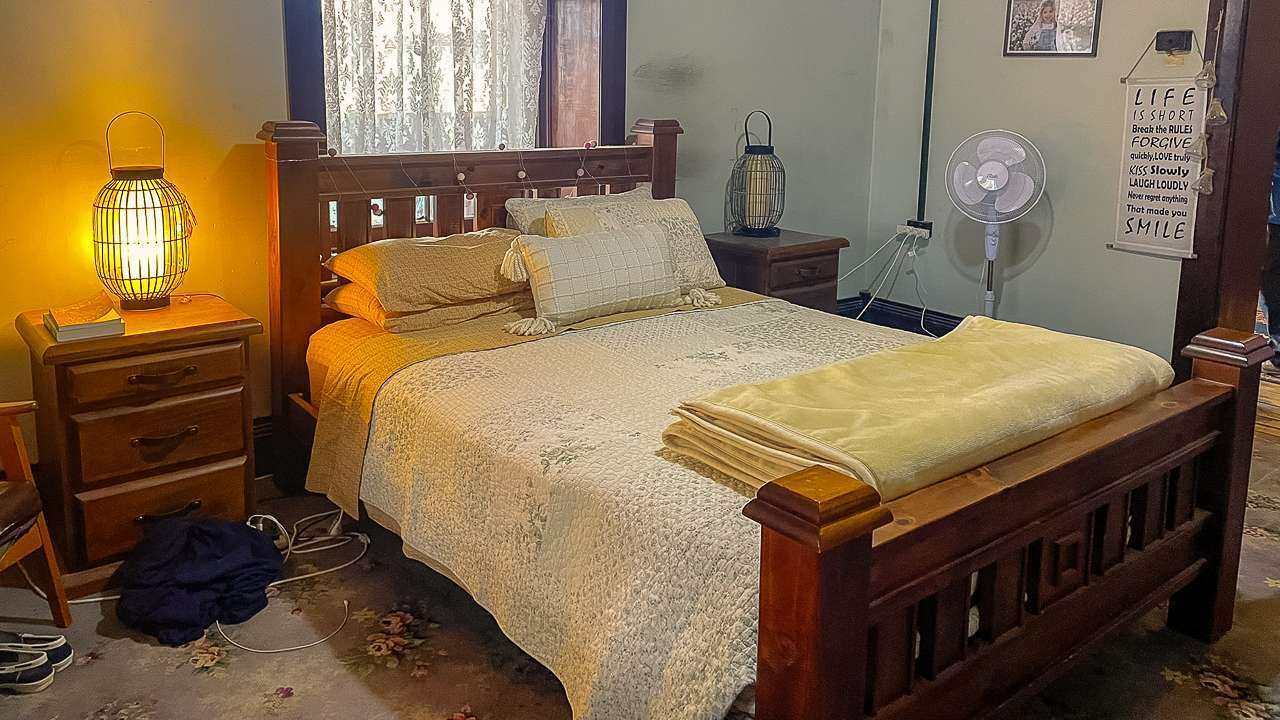
After morning tea Kim the owner of the property gave us a very detailed talk on the history of the property and its original owner and some of the subsequent owners. Kim also gave us a lot of history about Dunlop Station and its position in the general scheme of original outback station properties. After the talk we were allowed to walk through the main homestead. It’s actually where she and her daughter live.
They’ve worked incredibly hard to restore it. When they first arrived some doors wouldn’t even open because the rooms were so full of stuff. It sounds as if the last owners prior to Kim were old school hoarders of epic proportions. There was very little electricity or running water and the place was overrun with rats. After years of hard and careful work the homestead looks wonderful now. The wide verandah that wraps around three sides is awesome and offers a nice place to sit during the heat of the day.
Overhead Shearing Gear Inside Dunlop Station Shearing Shed
The Old Store
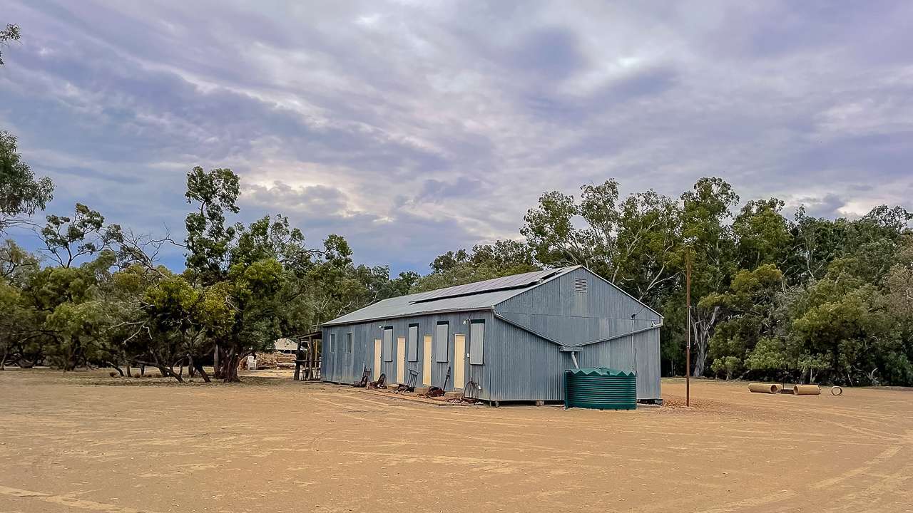
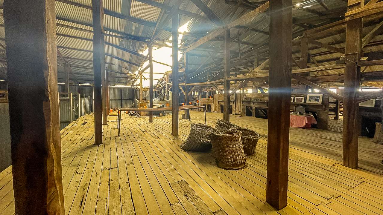
From the house it was a quick walk to the old Store which is packed with collectables and old items from the past. Dunlop Station was huge in its day – a million acres with 12 cooks and 100 shearers working the property. River steamers used to dock right at the station’s wharf to collect wool. That’s all finished now. When the railway reached Bourke, the river steamers couldn’t compete anymore. Then dams were built on the Darling to hold water all year, which stopped the river being reliable for boats.
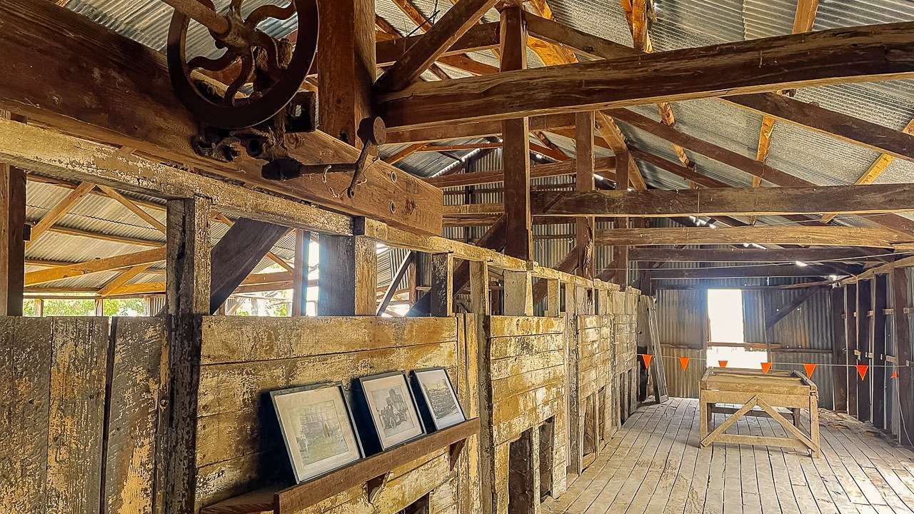
Dunlop Station Shearing Shed
From the store we drove out to the shearing shed. It’s big. It’s very impressive. Kim gave us a great talk on the historic significance of the 45 stand shearing shed on Dunlop Station. It’s been undergoing a lot of remedial maintenance work in recent years and it’s great to see that such a great shed is going to be available to the public to view into the future.
Tours At Dunlop Station At A Glance
- Morning Tea 11am
- Tours commence at 11:30 am Tours Run Tues, Wed, Thu, Fri, Sat & Sun
- Tour the Dunlop Homestead, Store and Shearing Shed.
- Large Groups Welcome.
- Cost: $25 per person
Dunlop Station Highlights
- Homestead dates back to the 1880s
- 881ha of land on the Darling River
- Dunlop Stations shearing shed is Australias first to use mechanical shears
The First To Use Mechanical Shears
Dunlop Station used to cover a million acres and had a shearing shed with 45 stands. This shed made history as the first to use mechanical shears.
Frederick York Wolseley was born in Ireland in 1837 and came to Australia in 1854. He was an inventor who started working on a sheep shearing machine around 1868. By 1872 he had a working model that could shear at least part of a sheep’s fleece. After making improvements and working with others, his machine was shown across eastern Australia and New Zealand in 1887-88. In 1888, Samuel McCaughey’s shed at Dunlop became the first to complete an entire shearing using machines. That same year eighteen other sheds started using the invention too. See Kim I WAS listening!
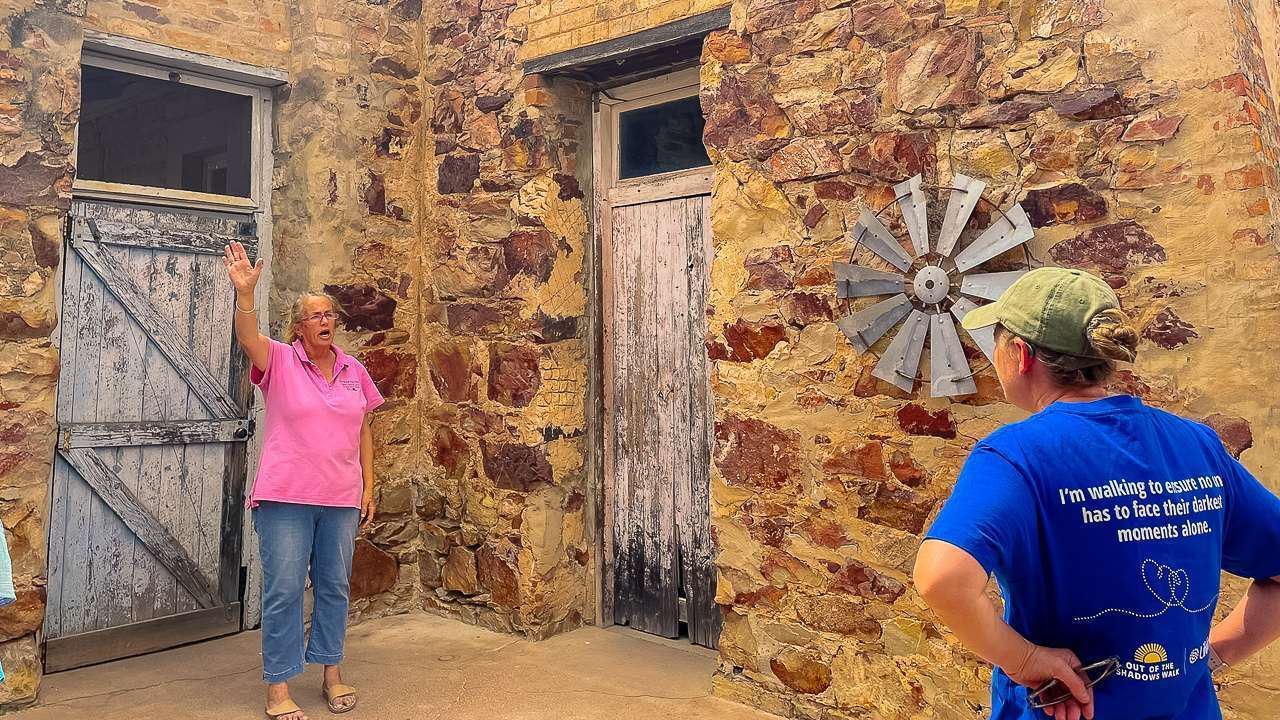
Kim Giving Us The Rundown On The Station Tour
Swimming At Dunlop Station
Some of us went for a swim in the Darling River. Access to the river from most of the campsites is very steep – the banks of the Darling River seem to be like this wherever we’ve visited the river. The owner Kim told us that the best place to go for a swim at Dunlop Station was out at the “wheelchair” campsite.
When they took over the property in one spot down by the river they found an old wheelchair, so of course when they were setting up the camping areas that one became the wheelchair camp! You can’t miss the campsite. There is still a really old wheelchair marking the entrance to it!
Access to the river from this campsite was still a bit tricky but it was more than doable. The water was still a bit on the chilly side however the day was hot so it was very refreshing. The river was running quite fast so we didn’t venture out too far from the bank.
How To Contact Dunlop station
“Dunlop” Station
10045 Toorale Rd
Louth NSW 2840
Tel: 0458472698
Email: kjchandler2@bigpond.com
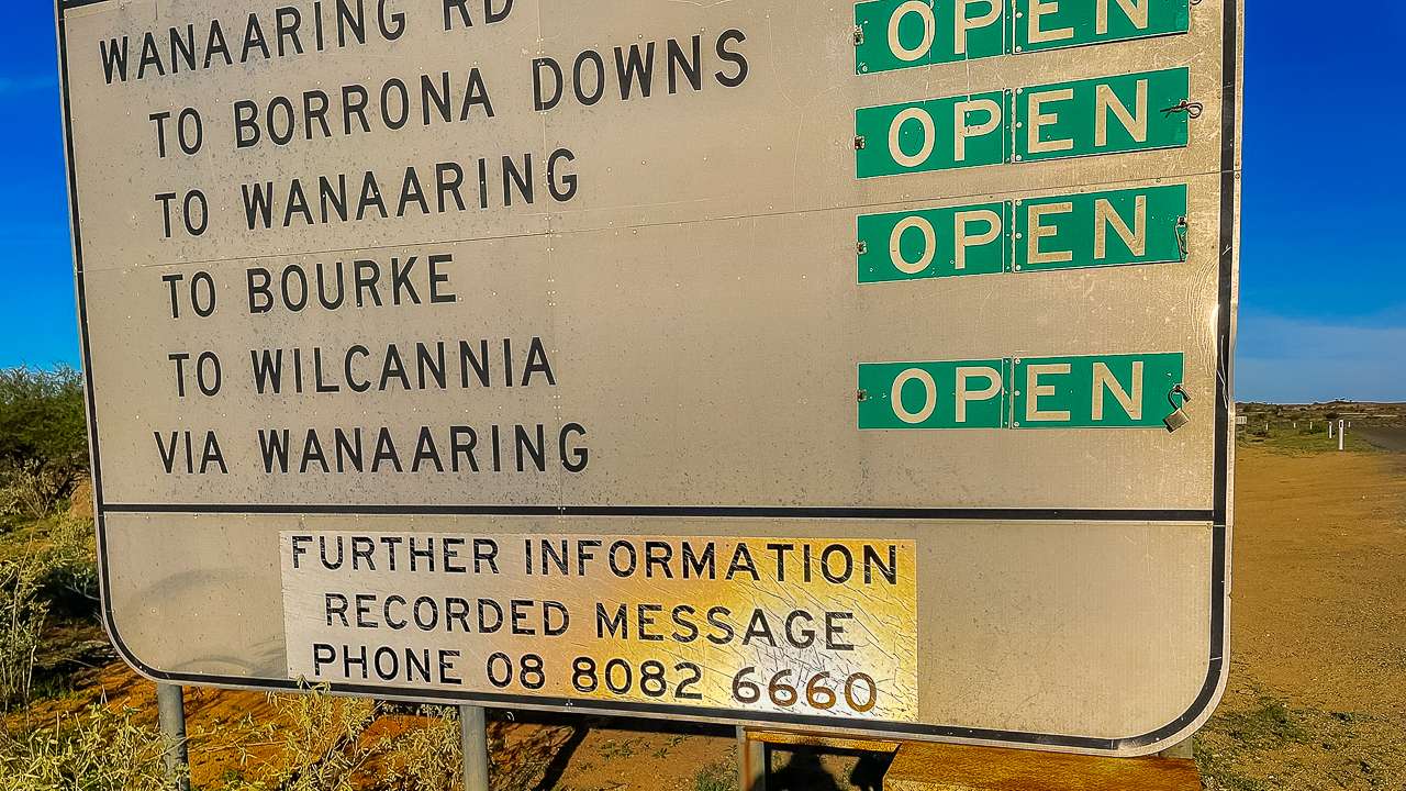
How To Get To Dunlop Station By Car
From Bourke NSW
Head south on the Louth Road for about 99km to Louth. At Louth cross the river and drive a few kays to the T-intersection. At the intersecvtion turn left on to Toorale Road. Dunlop Station is about 15km from Louth.
From Wilcannia NSW
Travel to Tilpa on West Tilpa Road. It’s about 130km. From Tilpa drive east on Toorale Road through to Dunlop Station.
Wrapping Up
Dunlop Station is a brilliant spot to visit on the Darling River. The camping is excellent with huge riverside sites, proper facilities and free firewood. The $20 per night price is great value. The station tour is well worth doing too – Kim’s knowledge of the property’s history is fascinating and seeing Australia’s first mechanical shearing shed is pretty special. Morning tea was delicious. I particularly liked the scones with tomato chutney! If you’re passing through Louth, definitely stop at Dunlop Station for a night or two. It’s a memorable outback experience that gives you a real taste of station life and history.
Photo Gallery – October 2025
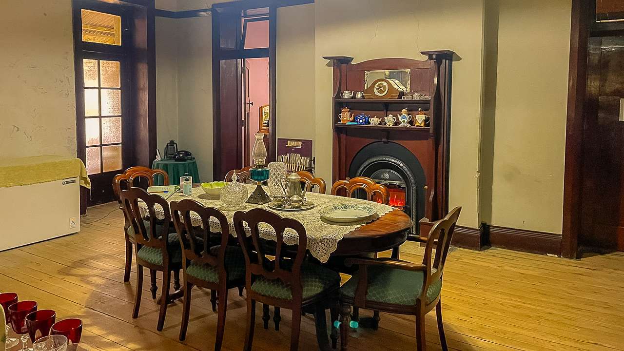
Dining Table Inside Dunlop Station Homestead
Dining Table Inside Dunlop Station Homestead
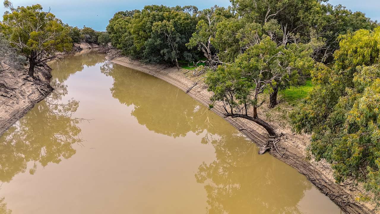
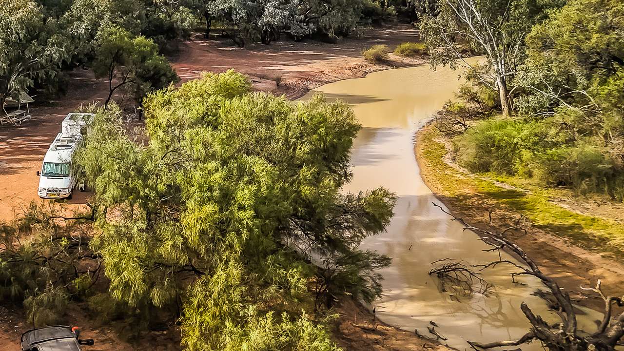
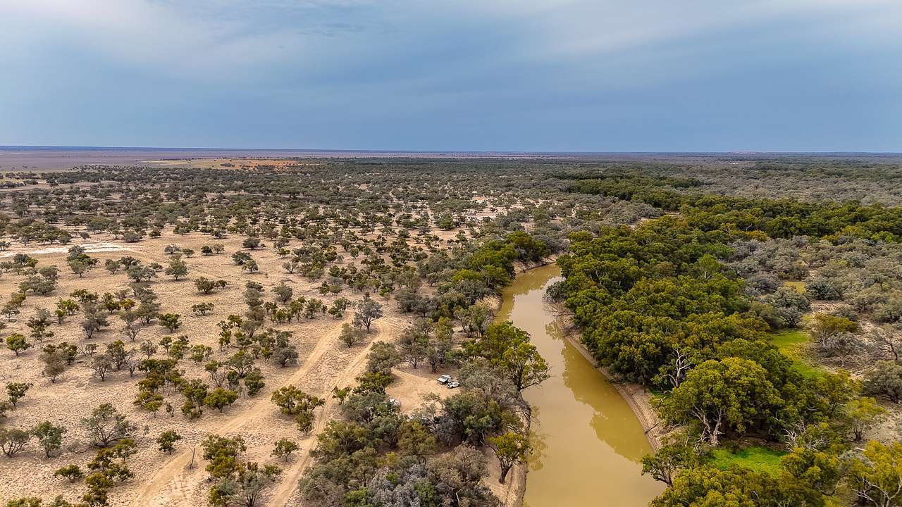
Darling River
Darling River
Kim Giving Us The Rundown On The Station Tour
Kim Giving Us The Rundown On The Station Tour
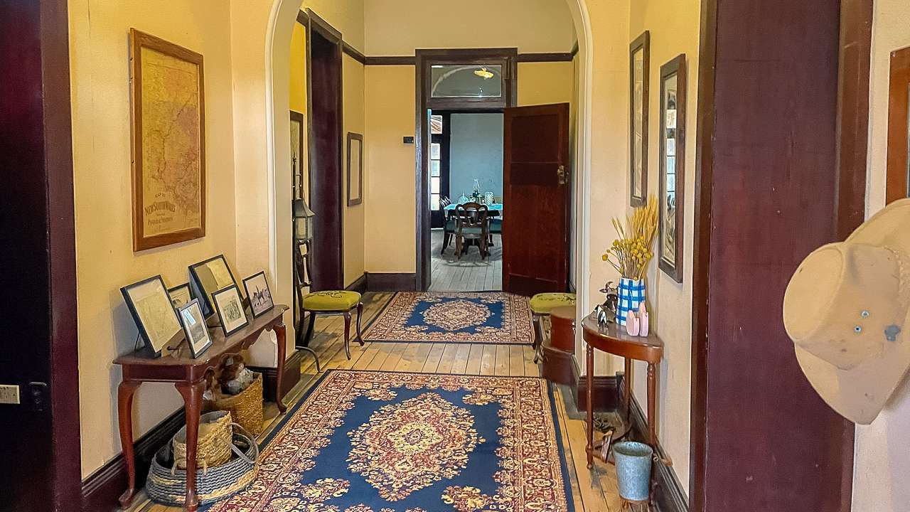
Inside The Homestead
Inside The Homestead
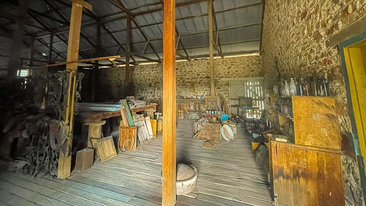
Inside The Store At Dunlop Station
Inside The Store At Dunlop Station
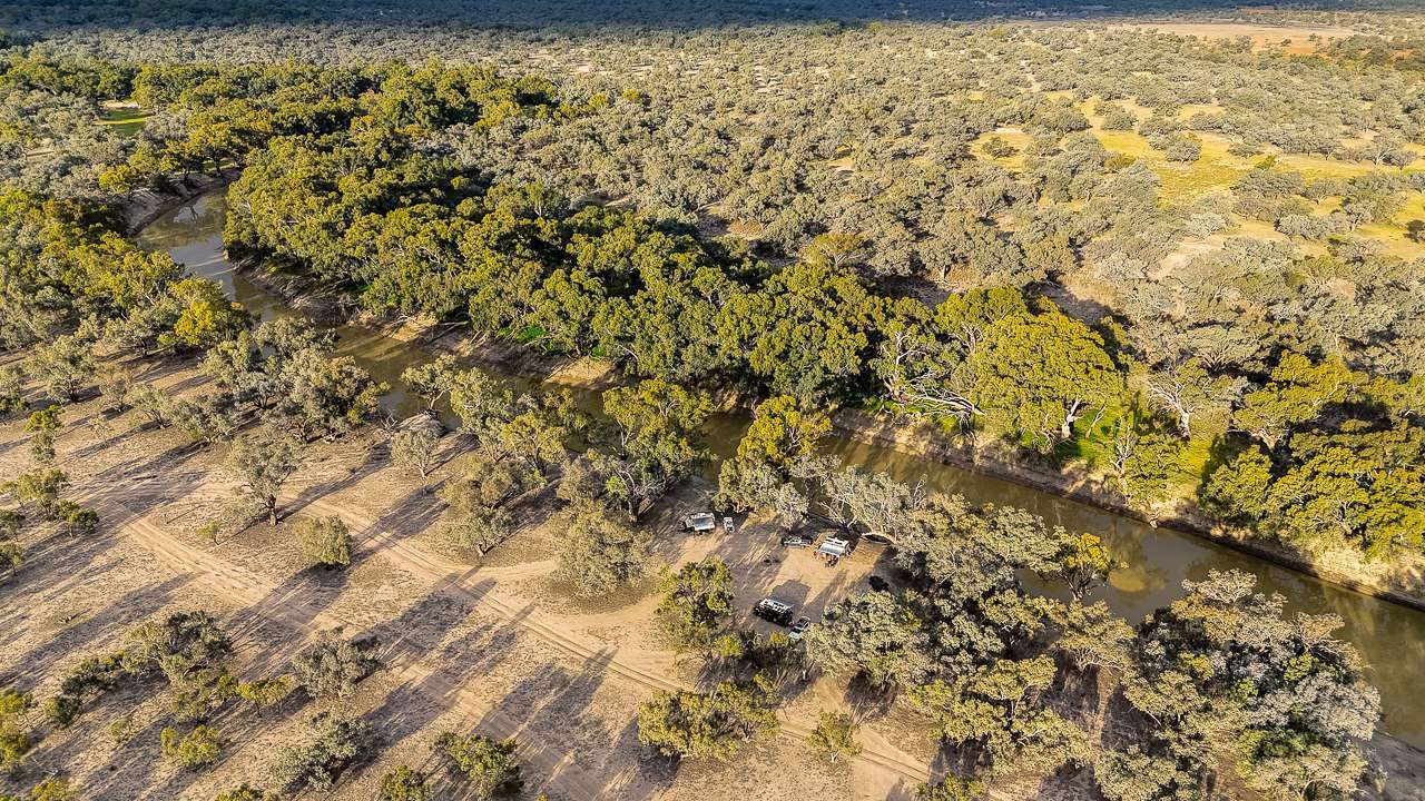
Great Camping On The Darling River At Dunlop Station
Great Camping On The Darling River At Dunlop Station
Great Central Firepit With Firewood Provided
Great Central Firepit With Firewood Provided
Camping On The Darling River
Camping On The Darling River
Overhead Shearing Gear Inside Dunlop Station Shearing Shed
Overhead Shearing Gear Inside Dunlop Station Shearing Shed
Great Old Room
Great Old Room
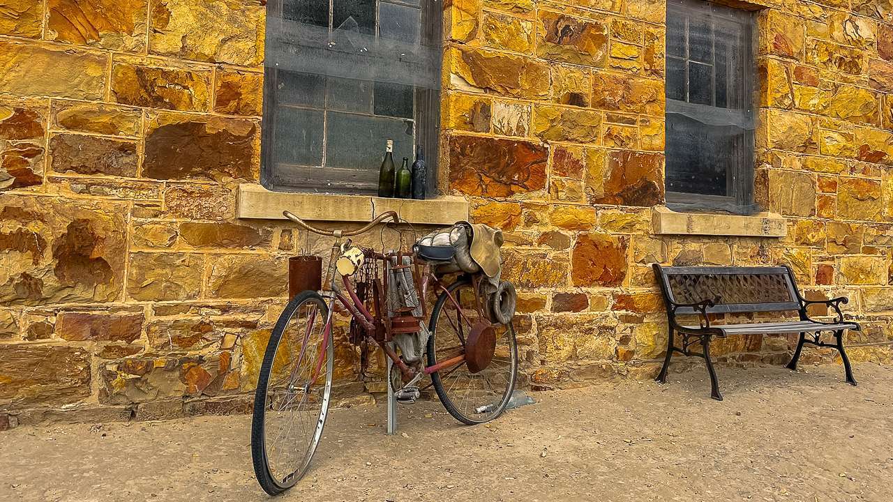
Tough Way To Get Around
Tough Way To Get Around
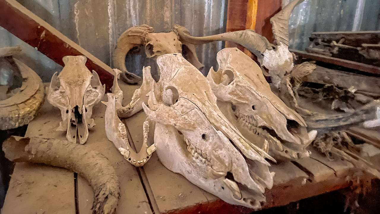
Inside The Stores
Inside The Stores
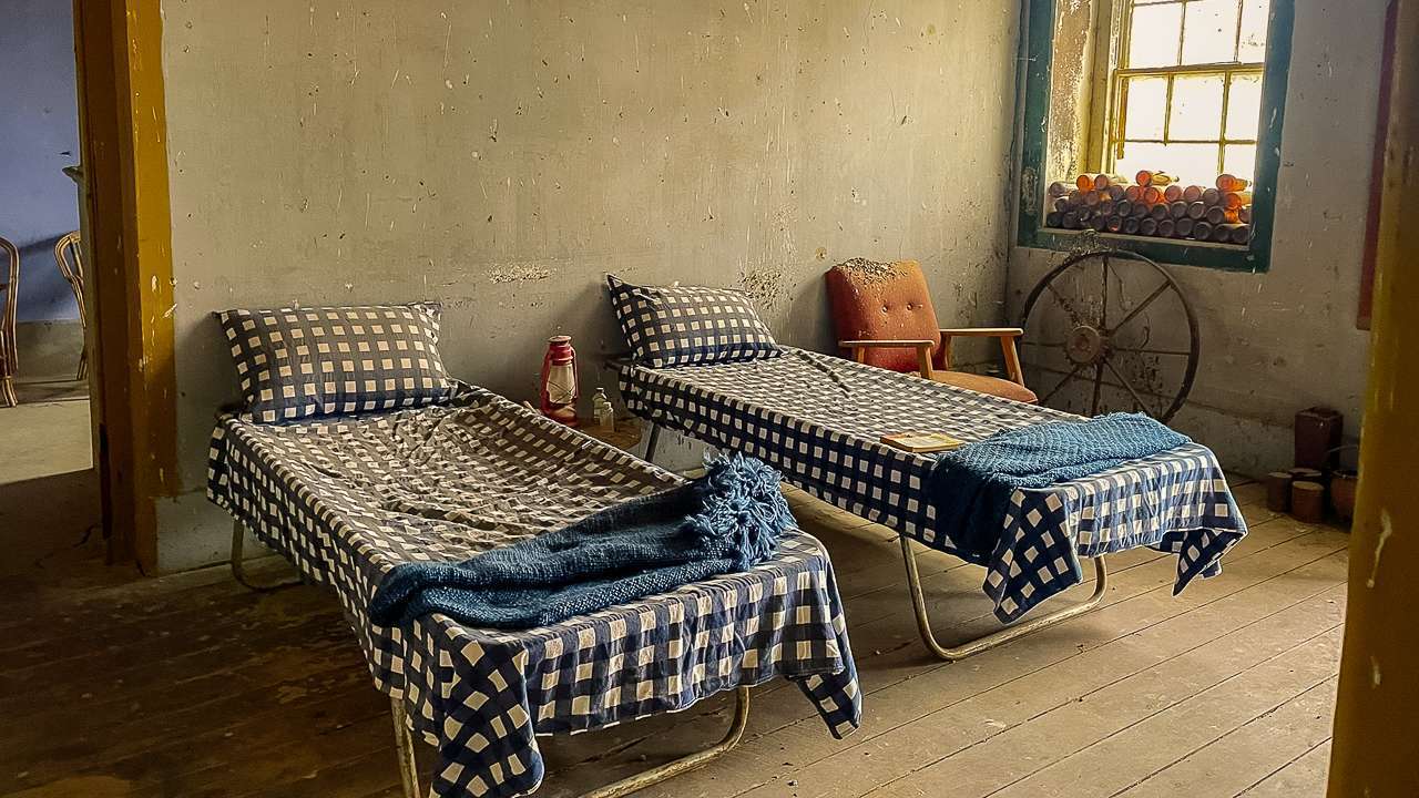
Sleeping Rough At Dunlop Station!
Sleeping Rough At Dunlop Station!
Great Camping On The Darling River
Great Camping On The Darling River
Our Camping Setup On The Darling River
Our Camping Setup On The Darling River
Campsite At Dunlop Station
Campsite At Dunlop Station
Dunlop Station Shearers Quarters
Dunlop Station Shearers Quarters
Nice Filtered Light Inside The Old Shearing Shed At Dunlop Station
Nice Filtered Light Inside The Old Shearing Shed At Dunlop Station