Snow Day Trips Near Sydney – Snow Sydney Australia?
Snow Day Trips Near Sydney – Snow Sydney Australia?
Are you looking for a snowy adventure but you’re based in Sydney? You’re in luck! While Sydney itself doesn’t experience snowfall, there are plenty of destinations within a day’s drive where you can enjoy winter wonderland experiences. This guide will take you through 15 fantastic snow day trips from Sydney. Perfect for families, thrill-seekers and nature lovers alike.
Snow In New South Wales
New South Wales (NSW) offers several spots where snow is almost guaranteed during the winter months. Although Sydney’s climate is too mild for snow, nearby regions with higher altitudes provide ample opportunities for snowy fun.

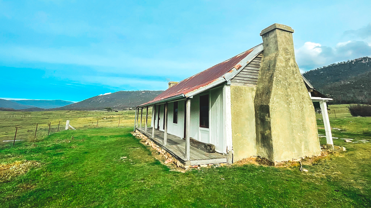
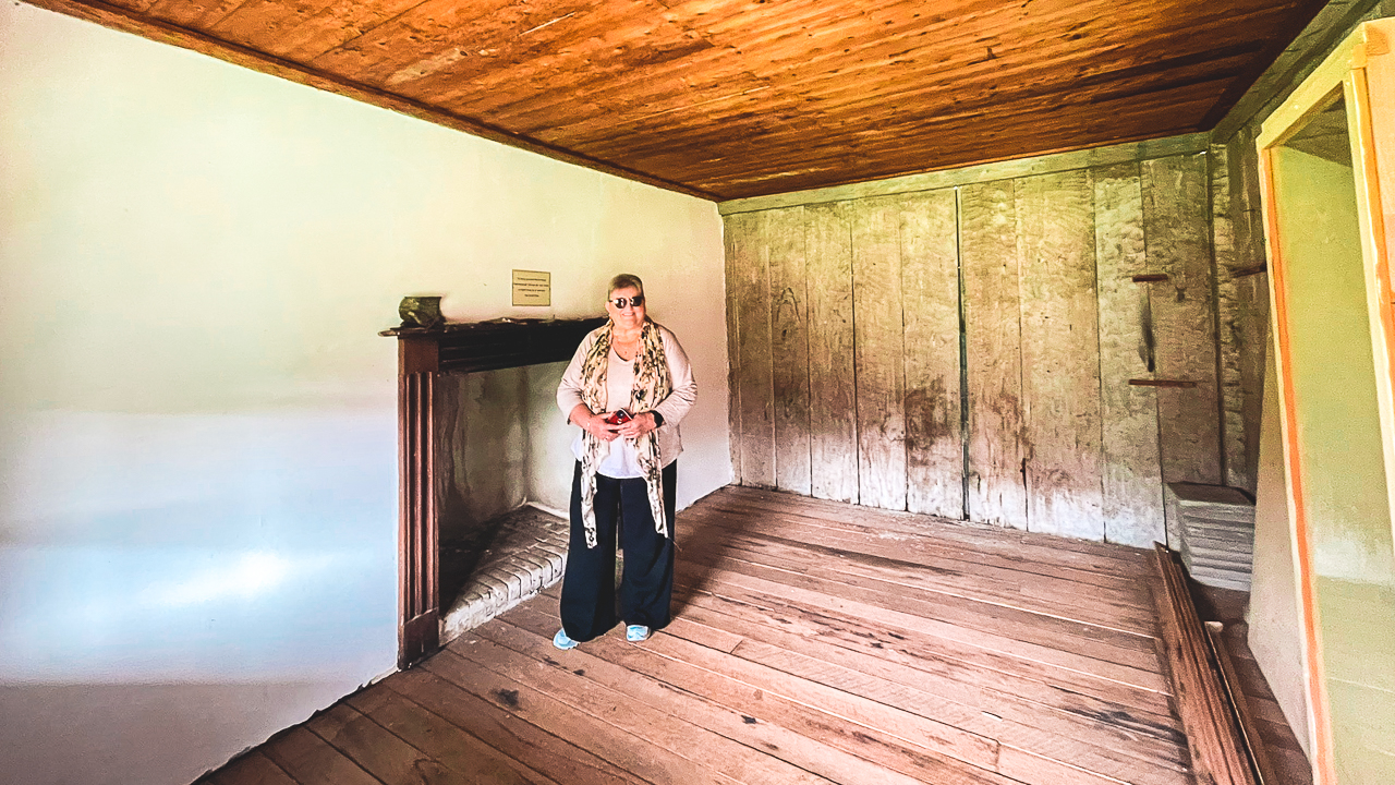
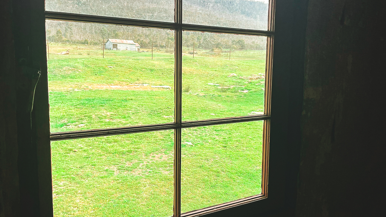
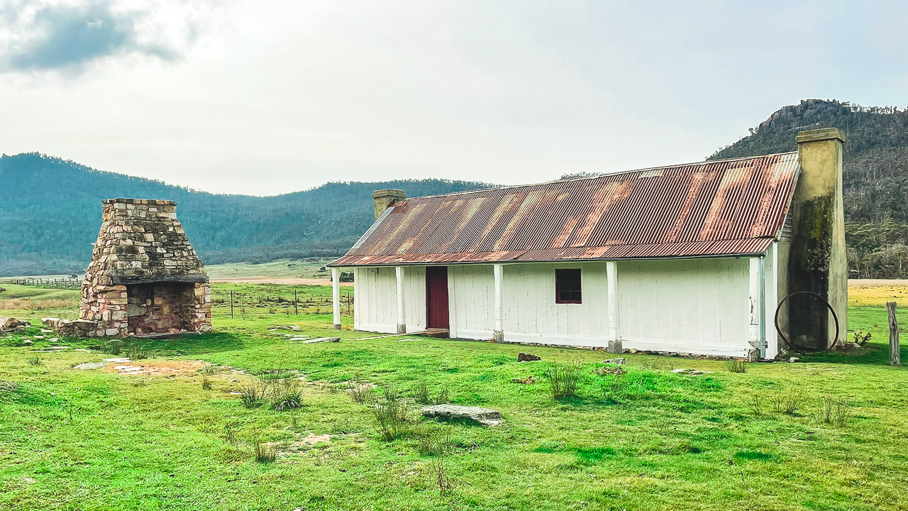
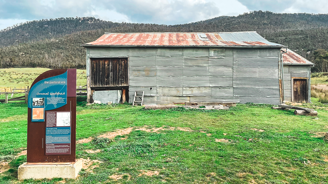
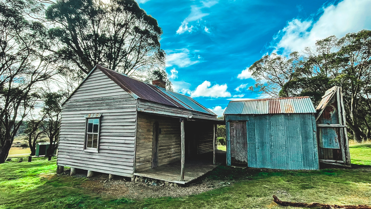
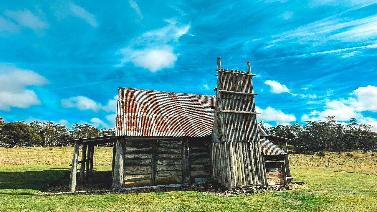
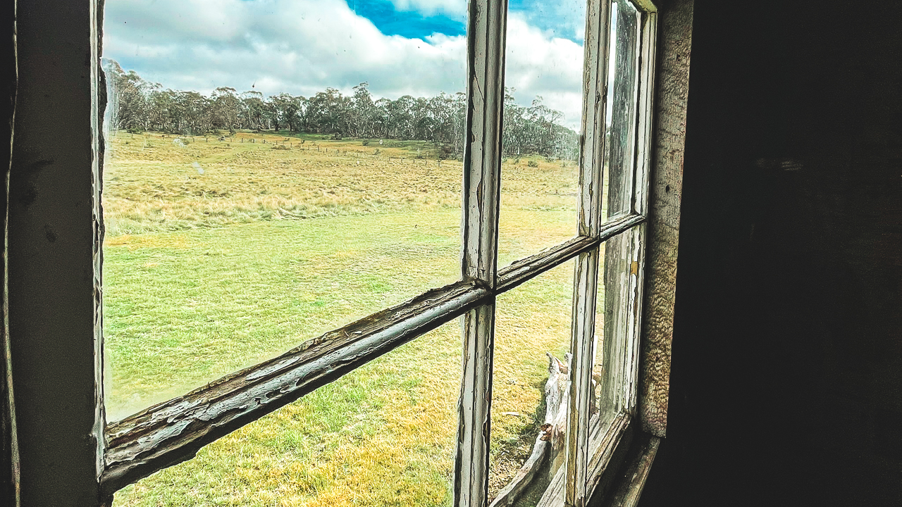
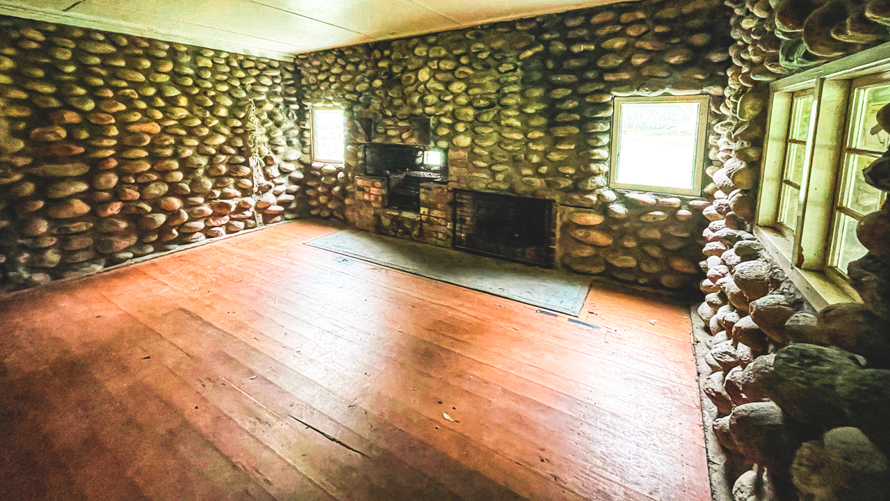
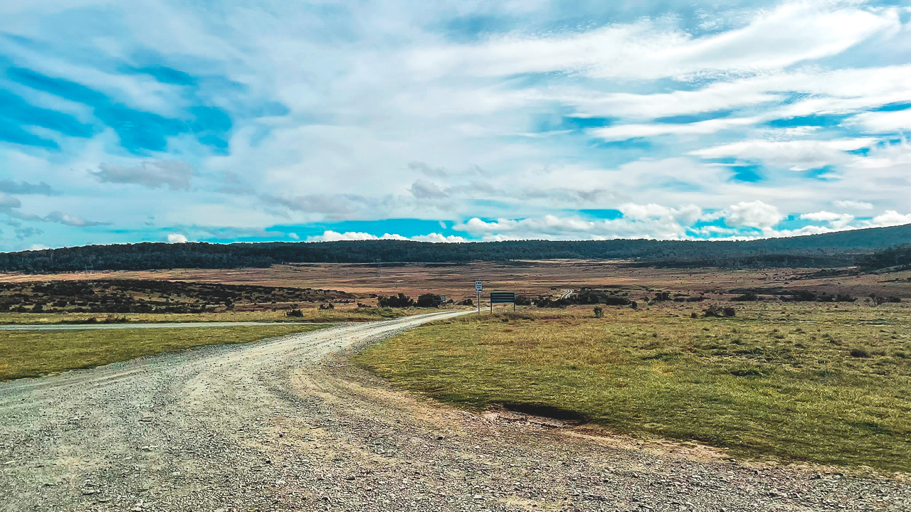
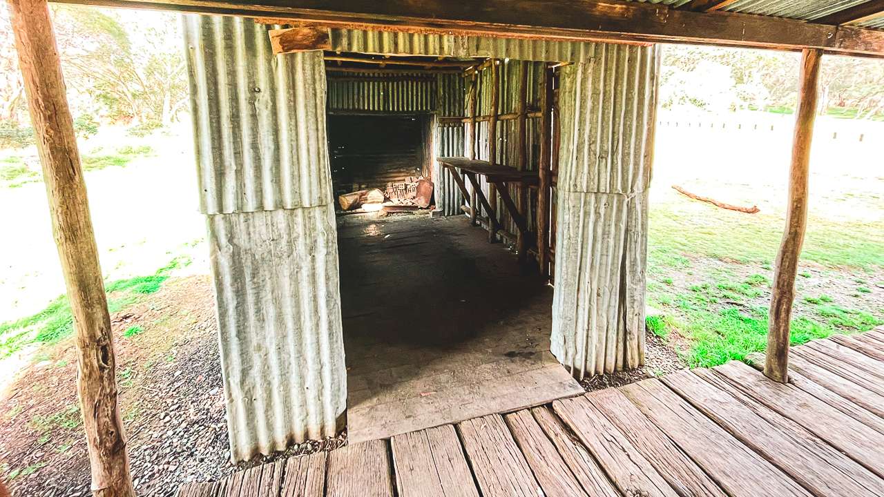
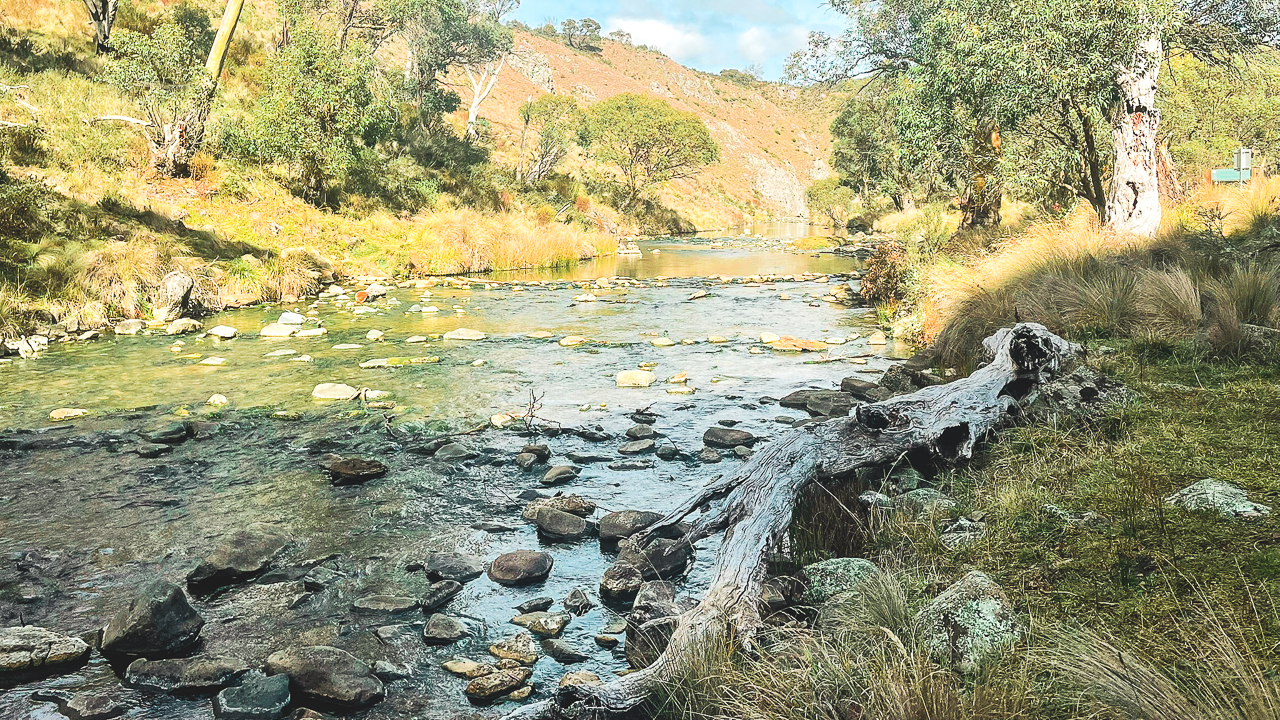
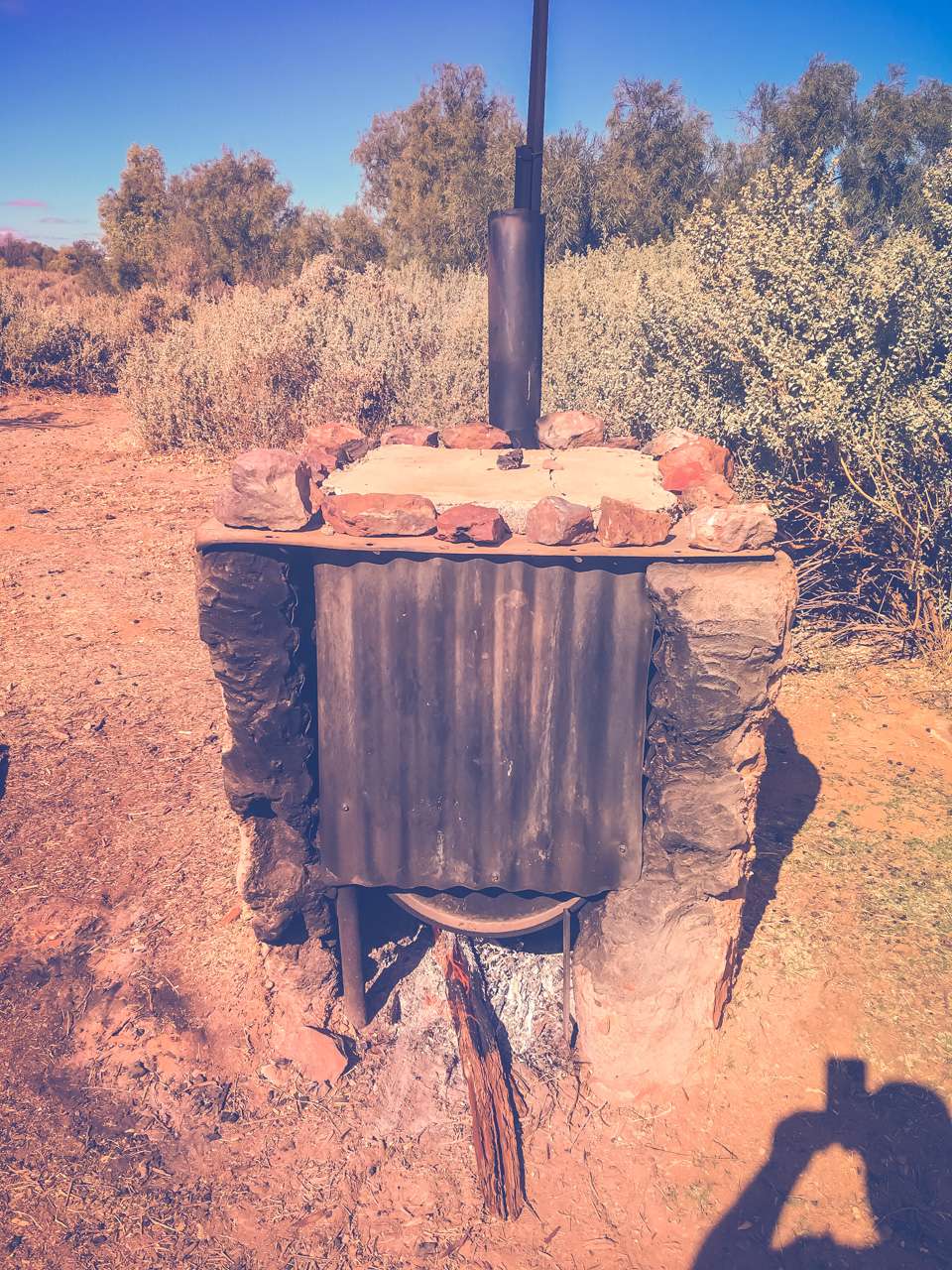
At The Snow Near Sydney At Mt Canobolas
Historical Snowfall Records
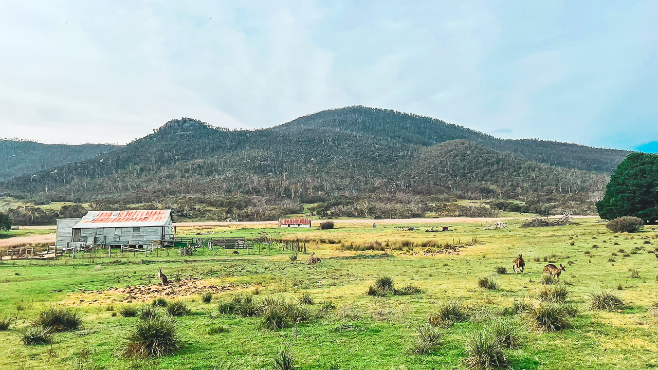
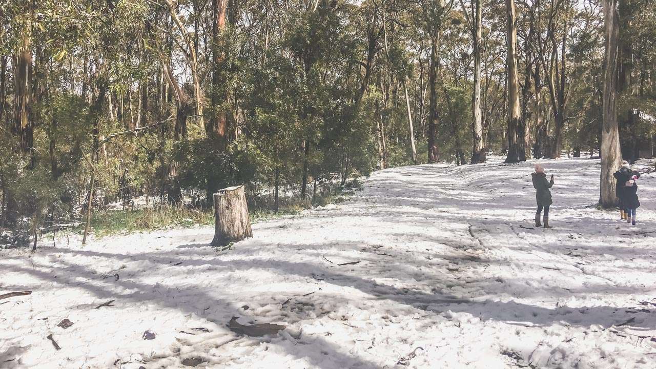
While Sydney’s rare snowfall events are more myth than common occurrence the snowfields of NSW have a rich history of reliable winter snow. Destinations like Thredbo and Perisher are well known for their consistent snowfalls. It snows in the Blue Mountains a few times every year and places like Shooters Hill and Mt Canobolas near Orange generally receive snow a few times a year.
Table Of Contents
- Snow Sydney Australia? You Betcha!
- 1. Blue Mountains
- 2. Oberon
- 3. Lithgow
- 4. Barrington Tops
- 5. Jenolan Caves
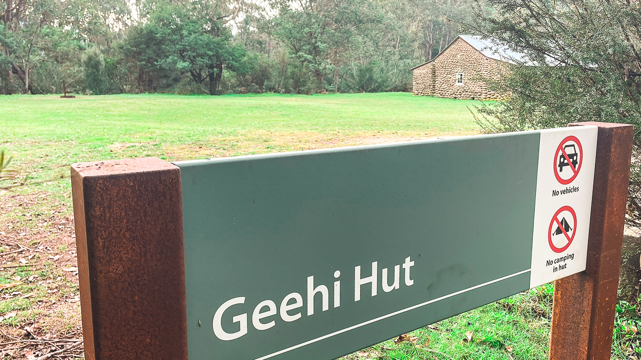
- 6. Shooters Hill
- 7. Mount Bindo
- 8. Hampton State Forest
- 9. Kanangra-Boyd National Park
- 10. Wentworth Falls
- 11. Mount Tomah
- 12. Bilpin
- 13. Blackheath
- 14. Katoomba
- 15. Mount Victoria
- 16. Hill End
- 17. Rylstone
- 18. Orange
- 19. Mudgee
- 20. Bathurst
- 21. Taralga
- 22. Glen Davis
- 23. Sofala
- 24. Jenolan State Forest
- 25. Wombeyan Caves
- Interactive Map Of Where To See Snow Near Sydney
- Tips For Finding Potential Snow Conditions For A Region – Snow Sydney Australia
- Does It Snow in Australia Sydney?
- Preparing For Snow Day Trips
- Travel Options
- Accommodation In Areas To see Snow Sydney Australia
- Popular Snow Activities
- Photography Tips
- Packing Essentials
- Safety Measures
- Where Does It Snow In NSW?
- Conclusion
- FAQs Snow Sydney Australia Frequently Asked Question
- How far are the snow resorts from Sydney?
- What is the best time to visit for snow?
- Are there budget friendly accommodations available?
- What activities are available for children?
- How should I prepare for a snow trip?
Snow Sydney Australia? You Betcha!
Within a 300-kilometre radius you can find numerous spots to enjoy the magic of snow. From charming towns to rugged national parks, here are 25 places to see snow near Sydney.
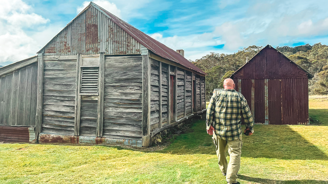
1. Blue Mountains
Distance: 100 km
Activities: Hiking, scenic views, and occasional snowfall at higher altitudes.
Highlights: The Blue Mountains occasionally see snowfalls, especially in areas like Katoomba and Blackheath. The iconic Three Sisters and other lookouts provide stunning snowy vistas.
2. Oberon
Distance: 180 km
Activities: Mushrooming, fishing, exploring local caves.
Highlights: Oberon sometimes gets snow during winter turning this charming town into a picturesque winter escape. It’s also close to the famous Jenolan Caves.
3. Lithgow
Distance: 150 km
Activities: Hiking, historical tours, exploring national parks.
Highlights: Lithgow and its surrounding areas like Newnes Plateau, can see light snowfalls. The town is rich in history and natural beauty.
4. Barrington Tops
Distance: 300 km
Activities: Hiking, camping, wildlife observation.
Highlights: This rugged wilderness area often gets snow in winter offering a pristine and remote snowy escape.
5. Jenolan Caves
Distance: 175 km
Activities: Cave tours, bushwalking.
Highlights: Occasionally, the area around Jenolan Caves receives snow making the ancient cave system even more enchanting.
6. Shooters Hill
Distance: 150 km
Activities: Nature walks, picnicking, wildlife spotting.
Highlights: Located near Oberon, Shooters Hill is one of the highest points in the Central Tablelands and sees snow during winter.
7. Mount Bindo
Distance: 180 km
Activities: Hiking, scenic drives.
Highlights: Mount Bindo, near Oberon, is known for its winter snowfalls and offers beautiful panoramic views of the snowy landscape.

Snow At Mt Canobolas
8. Hampton State Forest
Distance: 140 km
Activities: Bushwalking, exploring forest trails.
Highlights: This area sometimes receives snow creating a beautiful wintery forest scene.
9. Kanangra-Boyd National Park
Distance: 180 km
Activities: Hiking, camping, photography.
Highlights: The park’s high altitude means it can receive snow offering dramatic and rugged snowy landscapes.
10. Wentworth Falls
Distance: 100 km
Activities: Hiking, waterfall viewing, picnicking.
Highlights: While not a regular snow spot, Wentworth Falls in the Blue Mountains can see light snow adding to its scenic beauty.
11. Mount Tomah
Distance: 100 km
Activities: Botanical garden visits, hiking, nature walks.
Highlights: Home to the Blue Mountains Botanic Garden, Mount Tomah occasionally experiences snowfall, making the gardens even more stunning.
12. Bilpin
Distance: 90 km
Activities: Fruit picking, garden visits, bushwalking.
Highlights: Known for its orchards and gardens, Bilpin can sometimes see snow creating a picturesque winter scene.
13. Blackheath
Distance: 120 km
Activities: Hiking, exploring local shops, scenic drives.
Highlights: Blackheath is one of the highest towns in the Blue Mountains and often receives snow making it a popular winter destination.
14. Katoomba
Distance: 110 km
Activities: Scenic railway rides, hiking, exploring local attractions.
Highlights: Katoomba, home to the famous Three Sisters, can experience snow adding to the beauty of this already stunning area.
15. Mount Victoria
Distance: 120 km
Activities: Hiking, exploring historical sites, scenic views.
Highlights: Another high-altitude town in the Blue Mountains, Mount Victoria often sees snow making it a charming winter destination.
16. Hill End
Distance: 280 km
Activities: Gold panning, exploring historical sites, hiking.
Highlights: Hill End occasionally gets snow turning this historical gold rush town into a winter wonderland.
17. Rylstone
Distance: 240 km
Activities: Wine tasting, exploring historical buildings, hiking.
Highlights: Nestled in the Central Tablelands, Rylstone can see snow adding a touch of winter magic to its charming streets.
18. Orange
Distance: 260 km
Activities: Wine tasting, hiking, exploring local markets.
Highlights: Orange, known for its vineyards, also experiences snow making it a delightful destination for a winter getaway.
Snowing In Orange
19. Mudgee
Distance: 270 km
Activities: Wine tasting, gourmet dining, hiking.
Highlights: Mudgee’s high altitude means it can get snow offering a cosy and scenic winter escape. Get some snow Sydney Australia action in Mudgee!
20. Bathurst
Distance: 200 km
Activities: Motor racing, historical tours, hiking.
Highlights: Bathurst occasionally sees snow adding to the charm of this historic town known for the Mount Panorama Circuit.
21. Taralga
Distance: 220 km
Activities: Historical tours, hiking, exploring caves.
Highlights: This quaint town can experience snow making its historical buildings and landscapes even more picturesque.
22. Glen Davis
Distance: 200 km
Activities: Hiking, exploring ruins, photography.
Highlights: Nestled in the Capertee Valley, Glen Davis can see snow creating a stunning contrast with its dramatic cliffs and ruins.
23. Sofala
Distance: 250 km
Activities: Gold panning, exploring historical sites, hiking.
Highlights: This small historic town can experience snow adding a layer of beauty to its gold rush-era buildings.
24. Jenolan State Forest
Distance: 180 km
Activities: Hiking, exploring caves, camping.
Highlights: Adjacent to Jenolan Caves, this forest area can receive snow enhancing its natural beauty.
25. Wombeyan Caves
Distance: 200 km
Activities: Cave tours, hiking, picnicking.
Highlights: The area around Wombeyan Caves can see snow making the stunning cave formations even more enchanting.
Interactive Map Of Where To See Snow Near Sydney
Tips For Finding Potential Snow Conditions For A Region – Snow Sydney Australia
Finding out when it’s snowing near Sydney can be a bit of a challenge since snow is quite rare in the region. However there are some tips to helping you track snow conditions.
- BOM – Bureau Of Meteorology: Pay attention to the areas you are thinking of heading to and watch the Bureau Of Meteorology web site for forecasts. In particular look for days where they predict snow above a certain for a level for example “snow above 1100 metres”. Check mountain heights and in the area you want to visit it and compare that the BOM forecasts.
- Weather Websites and Apps: Use reliable weather forecasting websites and apps like the Bureau of Meteorology (BOM), Weather.com, and Weatherzone. These sources provide detailed forecasts, including snow predictions for nearby mountainous areas.
- Social Media and Forums: Follow local weather enthusiasts and groups on social media platforms like Facebook, Twitter, and Reddit. They often share real-time updates and photos when it starts snowing.
- Live Cameras: Some regions have live webcams set up. Websites like Ski.com.au provide live camera feeds from popular snow destinations.
- Local News Outlets: Keep an eye on local news websites and broadcasts. They often report on unusual weather events including snowfall in nearby regions. They love reporting on snow Sydney Australia so keep an eye and both ears open!
- Snow Alerts: Sign up for snow alerts and notifications on weather websites or apps. These alerts can notify you of any significant snow events in areas around Sydney.
By using these resources, you can stay informed about when and where snow is expected near Sydney.
Snow Sydney Australia
Does It Snow in Australia Sydney?
So does it does it snow in Australia Sydney? Yeah Nah!
When considering the question does it snow in Australia Sydney, the answer is straightforward: snowfall in Sydney is extremely rare. The city’s coastal location and low elevation mean it experiences a temperate climate, characterised by warm summers and mild winters. These conditions make snow an unlikely occurrence.
Historically, there have been only a few recorded instances of snow flurries in Sydney, with the last notable event dating back to the 1830s. However, such events are anomalies rather than part of the city’s regular weather pattern. The temperature in Sydney rarely drops low enough to allow for snow, even during the coldest winter months.
For those seeking a snowy experience, Sydney is not the ideal destination. However, the surrounding regions offer opportunities to witness snowfall. The Blue Mountains, located just two hours west of the city, occasionally receive light snow during winter. Towns like Katoomba and Blackheath may experience brief snowfalls, particularly in the coldest months of June and July.
To find consistent snow in Australia, you’ll need to venture farther afield. The Snowy Mountains, located in New South Wales, provide the most reliable snowfall in the state. Popular resorts like Perisher and Thredbo attract winter sports enthusiasts from across the country, offering a true alpine experience.
While the answer to does it snow in Australia Sydney is largely no, the city’s proximity to higher-altitude areas makes it easy to access snow during winter. Sydney itself may never transform into a snowy wonderland, but its location allows residents and visitors to enjoy the best of Australia’s diverse climate within a short drive.
Preparing For Snow Day Trips
What to Pack
Preparing for a snow trip is essential for a comfortable and enjoyable experience. Make sure to pack:
- Warm, layered clothing
- Waterproof jackets and pants
- Thermal gloves and socks
- Hats and scarves
- Sunscreen and lip balm (yes, even in winter!)
Safety Tips
Safety should be a priority. Always check the weather forecast, inform someone of your plans, and carry a basic first-aid kit. If you’re driving, ensure your vehicle is equipped for snowy conditions.
Best Time To Visit For Snow
The best time to visit these destinations is during the Australian winter, from June to August. July is typically the peak snow season, offering the most reliable snowfall and the best conditions for winter sports.
Travel Options
- Car
Driving gives you the flexibility to explore at your own pace. Ensure your car is equipped for snowy conditions and carry snow chains if required. - Bus
Several coach services operate from Sydney to major snow destinations, offering a comfortable and stress-free travel option. - Train
While train services don’t reach the snowfields directly, you can combine train travel with bus transfers to reach your destination. - Guided Tours
Guided tours provide a hassle-free way to experience the snow, including transportation, accommodations, and activities.
Accommodation In Areas To see Snow Sydney Australia
Overnight Options For Longer Trips
If a day trip turns into an overnight stay, there are plenty of accommodation options ranging from luxury resorts to budget-friendly lodges.
Budget Friendly Stays
Look for shared lodges, hostels, and off-resort accommodations to save on costs while enjoying your snow adventure.
Popular Snow Activities
- Skiing And Snowboarding
All major resorts offer skiing and snowboarding facilities with lessons for beginners and challenging runs for experts. - Snowshoeing
Explore the snowy landscapes at a slower pace with snowshoeing, a great activity for all fitness levels. - Tobogganing
Perfect for families, tobogganing offers fun for kids and adults alike, with dedicated areas in most resorts. - Building Snowmen
A classic snow activity, building snowmen is a must for any snow day trip, providing endless fun for everyone.
Photography Tips
Best Spots for Snow Photography
Capture the stunning snow-covered landscapes by visiting some of the best photography spots in the snow resorts. Early morning and late afternoon light often provide the best conditions for beautiful photos.
Techniques for Capturing Snow Scenes
- Use a high contrast setting to capture the whiteness of the snow.
- Experiment with different angles and perspectives.
- Keep your camera equipment warm to prevent condensation.
Packing Essentials
Clothing And Gear
Bring layered clothing, waterproof gear, and thermal accessories to stay warm and dry.
Accessories
Don’t forget sunscreen, lip balm, and sunglasses to protect against the sun’s reflection on the snow.
Snowy Mountains
Safety Measures
Navigating Icy Conditions
Wear appropriate footwear with good traction, and be cautious when walking or driving on icy surfaces.
Emergency Contacts
Keep a list of emergency contacts and local services handy in case of any incidents.
Where Does It Snow In NSW?
New South Wales (NSW) might be better known for sunny beaches and outback landscapes, but it’s also home to some of Australia’s most iconic snow destinations. If you’re wondering where does it snow in NSW, the answer lies in its elevated regions. The state’s snowfall is concentrated in the Snowy Mountains, the highest mountain range in Australia, as well as pockets of the Northern Tablelands, Central Tablelands and parts of the Southern Highlands. Winter here transforms these areas into snowy playgrounds, attracting skiers, snowboarders and families seeking frosty fun.
The Snowy Mountains: NSW’s Snow Capital
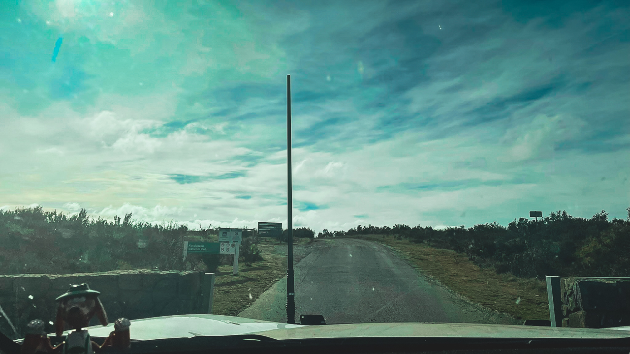
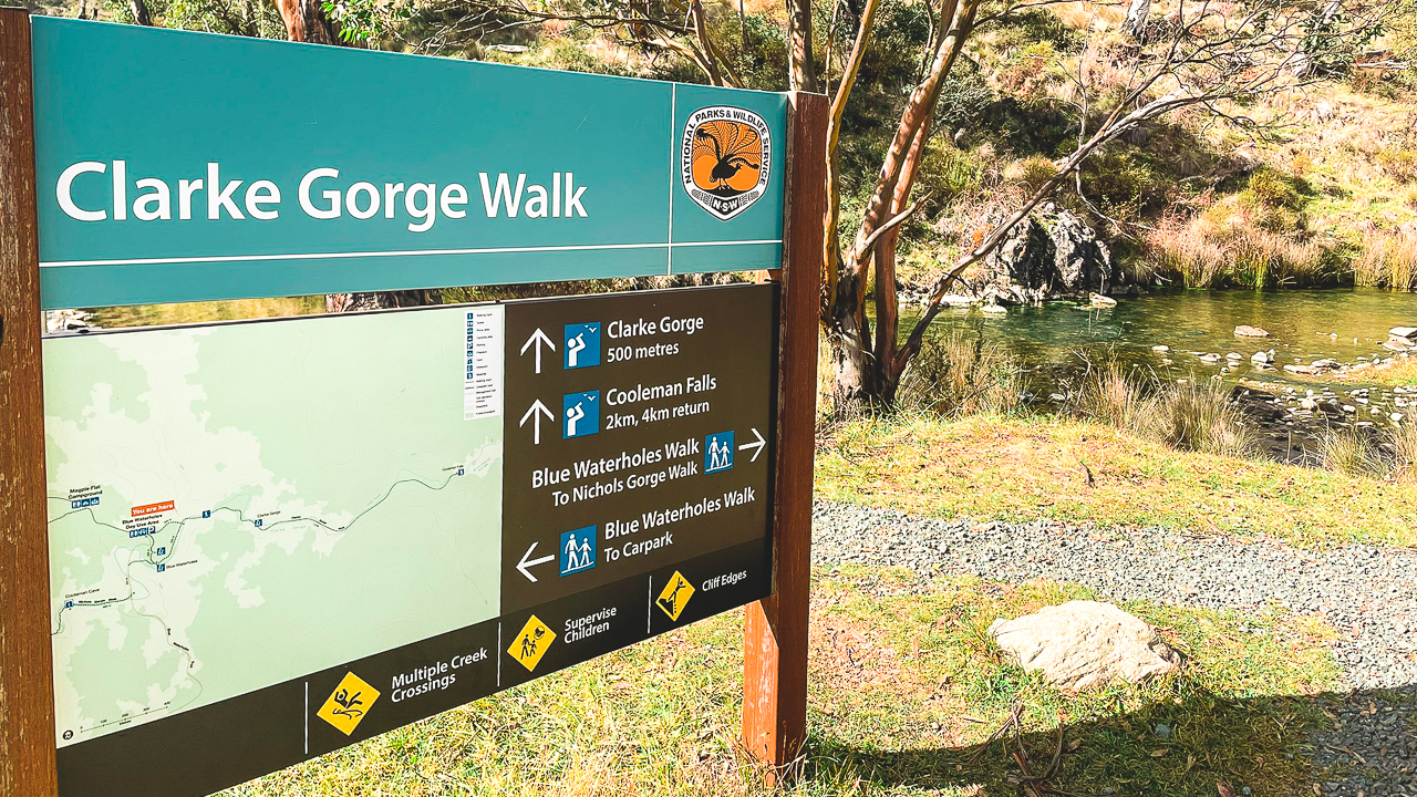
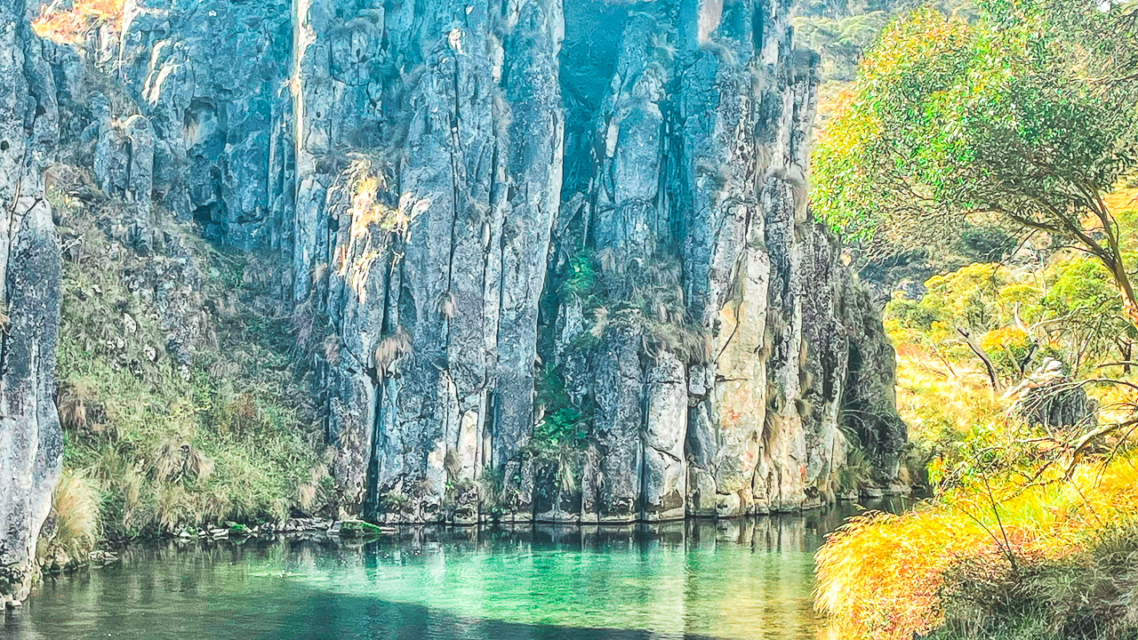
When asking where does it snow in NSW, the Snowy Mountains region is the standout answer. Located in the state’s southeast, this area includes iconic spots like Thredbo, Perisher and Charlotte Pass. Perisher, Australia’s largest ski resort, sees consistent snowfall between June and August, with peaks like Mount Kosciuszko – the country’s tallest mountain – often blanketed in snow. The Kosciuszko National Park becomes a hub for winter sports, offering groomed slopes, cross-country trails and family friendly snow play areas. Snow depths here can exceed two metres in peak season.
Northern Tablelands: Snow Beyond The Alps
While the Snowy Mountains dominate the snow scene, where does it snow in NSW beyond this region? The Northern Tablelands, including towns like Guyra and Glen Innes, occasionally experience light snowfalls during cold fronts. These areas sit at elevations above 1,000 metres, creating the right conditions for frosty mornings and occasional dustings. While not as reliable as the Snowy Mountains, these spots offer quieter, off the beaten path experiences for those chasing winter scenery without the crowds.
Central Tablelands And Oberon
Closer to Sydney, the Central Tablelands provide another answer to where does it snow in NSW. Oberon, a two hour drive west of Sydney, is a popular weekend destination for snow chasers. While heavy snowfall is rare, frosty winters often bring light snow to the town and surrounding forests. Nearby Jenolan Caves and the Blue Mountains’ higher elevations also occasionally see snow, creating picturesque landscapes perfect for photography or a cosy winter getaway.
Barrington Tops And The Hunter Region
Further north, the Barrington Tops plateau is another region where it snows in NSW. Part of the Barrington Tops National Park, this World Heritage listed area sits at over 1,500 metres elevation. Snowfall here is less predictable but can occur between June and August, turning its ancient rainforests and alpine meadows into a serene winter escape. The Hunter Valley’s higher villages, such as Barrington and Moonan Flat, sometimes receive light snow, blending vineyards with frosty vistas.
Regional Snowfall And Travel Tips
Beyond the main hotspots, smaller towns like Orange and Lithgow in the Central West occasionally see snow due to their elevation. If you’re planning to explore where it snows in NSW, always check weather forecasts and road conditions—many alpine roads require chains during winter. Whether you’re hitting the ski slopes or simply enjoying a snowy landscape, NSW’s diverse regions offer something for every winter enthusiast. Just pack warm layers, a sense of adventure and prepare for Australia’s unique take on a white winter!
Conclusion
A snow day trip from Sydney offers an incredible escape into winter wonderland. With a variety of destinations to choose from, each offering unique experiences and activities, there’s something for everyone. Whether you’re hitting the slopes, building a snowman, or simply enjoying the serene snowy landscapes, these trips promise unforgettable memories. Sydney’s proximity to a variety of snowy destinations means you don’t have to travel far to experience a winter wonderland. These 25 spots offer everything from charming towns and scenic lookouts to rugged national parks, perfect for a day trip or a weekend getaway. So, pack your winter gear and explore the snowy escapes near Sydney.
FAQs Snow Sydney Australia Frequently Asked Question
How far are the snow resorts from Sydney?
What is the best time to visit for snow?
Are there budget friendly accommodations available?
What activities are available for children?
How should I prepare for a snow trip?