17 Best Campgrounds To Camp Near Sydney

17 Best Campgrounds To Camp Near Sydney

17 Best Campgrounds To Camp Near Sydney

Want to camp near Sydney for free or on the cheap? We show you where with 17 awesome camp sites less than 2 hours from Sydney. Pet friendly sites are included. Some places you can camp near Sydney even include showers, toilets and potable water.

How We Qualified A Camp Near Sydney Listing

To make our list of camp sites near Sydney we had the following criteria that needed to be met.

  • Less than two hours drive from Homebush Olympic Park – considered by many to be the new centre of Sydney.
  • Accessible to all types of camping –  such as tents, camper trailers and caravans.
  • Not a caravan park – because caravan parks aren’t really camping now are they?
  • Bush or beachside setting – gravel pits and showgrounds need not apply!
  • We had to have actually been there – not just found it on a Google search and then tried to pretend we were experts on the place.
  • Free or cheap camping – no big dollar Hipcamp sites here. Hipcamp sites have their place just not on this list.

Here They Are – Camp Sites Near Sydney Less Than Two Hours Drive

  1. Cattai Campground
  2. Coledale Camping Reserve
  3. Bents Basin
  4. Murphys Glen
  5. Burralow Creek
  6. Burralow Reserve
  7. Cathedral Reserve Mt Wilson
  8. Londonderry Reserve
  9. Penrose State Forest
  10. Belanglo State Forest
  11. Lake Wallace Recreation Area
  12. Lidsdale State Forest
  13. Gambells Rest
  14. Bendeela Camping Reserve
  15. Wollondilly River Station
  16. Wingello State Forest
  17. Bungonia National Park

1. Cattai Campground

Type: National Park
Distance From Sydney: 49km (0h 58m)
Location: Cattai NSW
GPS: -33.554836°, 150.891565°
Toilet: Yes
Showers: Yes
Potable Water: No
Pet Friendly: No
Fires: Yes When Not A Fire Ban
Booking Required: Yes
Price: $12per person per night plus park access fees
Web: https://www.nationalparks.nsw.gov.au/cattai-national-park/cattai-campground/camping

Enjoy camping in Cattai National Park on the Hawkesbury River. Go walking, canoeing and bike riding before cooking up a barbeque feast. Sites are unpowered and suitable for tents, camper trailers, motorhomes and caravans. Kids will love the wide open space that is great for bike riding, playing and running, plus the campground is right near the Hawkesbury River, meaning fishing, canoeing and kayaking opportunities are all nearby. There are shady spots to enjoy a barbecue dinner and the picnic area is nearby for lunchtime activities. There’s also the historic Cattai Homestead, a short walk or drive from campground. It’s an important part of Australian history so be sure to check it out. You’ll probably be woken by the call of birds in the morning, and you may see a kangaroo peeking at you through the bushland on a morning walk to the lookout over Hawkesbury River.

Cattai National Park is locked overnight, including the campground. An emergency after-hours gate code will be included in your booking confirmation. Pets, generators and gathering firewood are not permitted. NSW national parks are no smoking areas. Booking is required. Book online or call the National Parks Contact Centre on 1300 072 757. Park entry fees are not included in your camping fees.
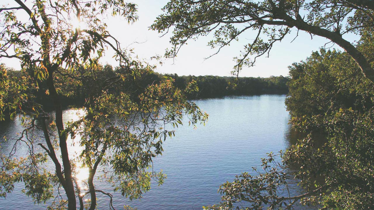
Cattai National Park River Lookout

Cattai National Park River Lookout

2. Coledale Camping Reserve

Type: Paid Campground
Distance From Sydney: 63km (1h 3m)
Location: Coledale NSW
GPS: -34.287245°, 150.948447°
Toilet: Yes
Showers: Yes
Potable Water: Yes
Pet Friendly: No
Fires: No
Booking Required: Yes
Price: $30 per night
Web: https://www.coledalebeach.com.au/camping

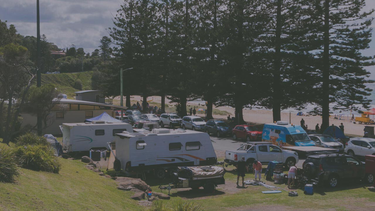
I (Dave) have camped here for probably around a full year spread across the first 20 years of my life. My grandparents camped here in a giant tent surrounded by my uncles and aunties and great uncles and great aunties and cousins for 6 weeks every Christmas for 50 years. In fact I was born in Coledale! It is without doubt my favourite place in the world to camp. Right on the beach. I probably know every fishing fishing spot and rock within 5km either side of the campground. if you want to camp near Sydney on a beach then this is the absolute best of the best.

The surf club operates a small and unique grassy campsite that borders right onto the beach. Coledale beach is sandwiched between the rolling blue surf of the pacific and the rolling green tree canopy of the Illawarra escarpment. Coledale is accessed by the spectacular Grand Pacific Drive via the stunning Sea Cliff Bridge. The beach is a great surfing spot, with the right conditions offering nice right and left hand breaks. Coledale Beach is a great location to enjoy the beach, swim, surf, fish, dive or just sit back, enjoy the views and sound of the surf at your doorstep. Regular visits by dolphins playing just off the beach and close views of migrating humpback and southern right whales just add to the experience. if you want to camp near Sydney practically on the the beach then this is the camp site for you.

  • The Coledale Surf Life Saving Club Inc. manages the Camping Reserve under the License from Wollongong City Council.
  • Book well in advance as there are often no vacancies.
  • Check the website for availability.

Coledale Camping Reserve

Coledale Camping Reserve

3. Bents Basin

Type: National Park
Distance From Sydney: 64km (0h 51m)
Location: Greendale NSW
GPS: -3.931914°, 150.637168°
Toilet: Yes
Showers: Yes
Potable Water: Yes
Pet Friendly: No
Fires: Yes When Not A Fire Ban
Booking Required: Yes
Price: $12per person per night plus park access fees
Web: https://www.nationalparks.nsw.gov.au/visit-a-park/parks/bents-basin-state-conservation-area

If you want to camp near Sydney then you probably won’t find anything else this good this close. Bents Basin is a popular camping destination located in New South Wales, Australia. It is a natural waterhole situated along the Nepean River, approximately 20km southwest of Penrith. The basin offers a serene and picturesque setting for camping and outdoor activities.

  • Camping Facilities: Bents Basin offers both powered and non-powered campsites, providing options for tents, caravans, and motorhomes. The campground features amenities such as toilets, hot showers, picnic tables, and barbecues. Drinking water is available on-site as well.
  • Activities: The main attraction at Bents Basin is the waterhole, which is suitable for swimming and canoeing. The calm waters make it a great spot for families and individuals looking to relax and enjoy water-based activities. Additionally, you can explore the surrounding bushland by taking one of the walking trails, go fishing, or have a picnic along the riverbanks.
  • Booking and Fees: To camp at Bents Basin, you typically need to make a booking in advance, especially during peak seasons. You can make a reservation through the New South Wales National Parks and Wildlife Service website or by contacting their customer service. Fees apply for camping, and the prices may vary depending on the type of campsite and the season.
  • Nearby Attractions: If you want to explore beyond Bents Basin, there are several attractions in the vicinity. The Blue Mountains National Park is within driving distance, offering breathtaking views, hiking trails, and iconic landmarks like the Three Sisters. The town of Penrith also has attractions such as the Penrith Whitewater Stadium and the Museum of Fire.
  • Important Considerations: When camping at Bents Basin, it’s essential to follow the campground rules and respect the environment. Remember to bring your camping gear, food, and other necessities as there are no shops available on-site. Also, be aware of the weather conditions and any fire restrictions in the area.

Before planning your trip, it’s advisable to check the latest information, availability, and any updated regulations regarding camping at Bents Basin. Contacting the New South Wales National Parks and Wildlife Service or visiting their official website will provide you with the most up-to-date information for a smooth camping experience.

4. Murphys Glen

Type: National Park
Distance From Sydney: 74km (1hr 18m)
Location: Near Woodford NSW (Blue Mountains National Park)
GPS: -33.768751°, 150.485910°
Toilet: Yes
Showers: No
Potable Water: No
Pet Friendly: No
Fires: Yes When Not A Fire Ban
Booking Required: Yes
Price: $6 Booking Fee
Web: http://www.nationalparks.nsw.gov.au/camping-and-accommodation/campgrounds/murphys-glen-campground

Murphys Glen camp ground near Woodford offers walking and birdwatching. It’s the perfect nature getaway if you have a 4WD and want to spend time in the Blue Mountains National Park. There are unpowered and unmarked sites suitable for tents, camper trailers, small offroad caravans and camping beside your vehicle. There’s space for family and friends at this spacious campground. When you’re ready to explore a short walking track will take you to several small pools. Another track leads to Murphys lookout. Enjoy the local nightlife with possums, sugar gliders and bats making a delightful racket.

  • Facilities include BBQ’s and toilets. Camping is free.
  • Check conditions before you set out. While 2WD vehicles can access this campground a 4WD is recommended, especially after rain.

This location is a free campground, however a booking fee of $6 per site applies. Money collected will be used to manage campground numbers and improve your safety. You are required to book for campgrounds and campsites in NSW national parks. This includes locations that were previously available for use without a booking. Book online or contact the National Parks Contact Centre on 1300 072 757.
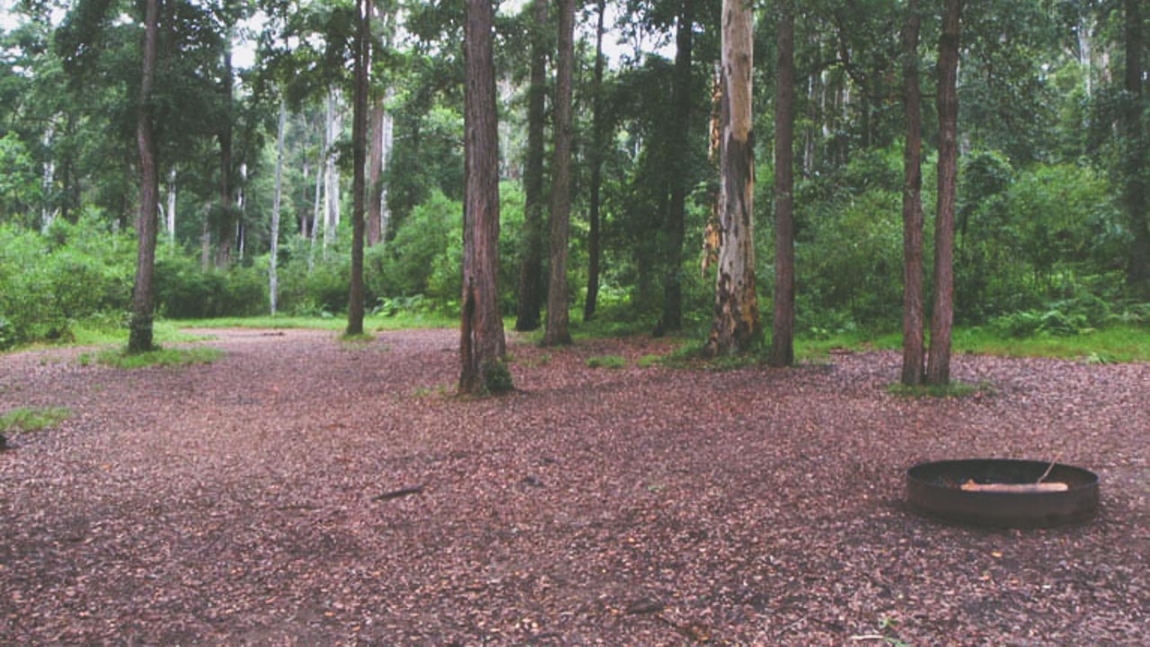
Murphys Glen Campground Blue Mountains National Park

Murphys Glen Campground Blue Mountains National Park

5. Burralow Creek

Type: National Park
Distance From Sydney: 81km (1hr 25m)
Location: The Devils Wilderness NSW (Blue Mountains National Park)
GPS: -33.555564°, 150.603623°
Toilet: Yes
Showers: No
Potable Water: No
Pet Friendly: No
Fires: Yes When Not A Fire Ban
Booking Required: Yes
Price: $8 Booking Fee
Web: https://www.nationalparks.nsw.gov.au/camping-and-accommodation/campgrounds/burralow-creek-campground-picnic-area

  • No Caravan access – Tent, Camper trailer site, Camping vehicles only
  • The fire trail access to this campground is recommended for 4WD vehicles only.
  • Sites are unmarked.
  • This campground is in a remote location, so it’s a good idea to pick up your supplies before you arrive.

Get back to nature at secluded Burralow Creek campground and picnic area in Blue Mountains National Park, around 2 hours from Sydney. You’ll find walking and picnicking opportunities just moments from your tent. Burralow Creek campground and picnic area is nestled beside Burralow Creek, in the Lower Grose Valley area of Blue Mountains National Park. Set up camp on the grass, surrounded by native scribbly gums and a natural sandstone amphitheatre. This peaceful spot is popular with families and groups of friends looking for a remote bush escape close to Sydney. There’s plenty of space for the kids to roam free.

From your campsite, take an easy bushwalk past a convict-dug pit, along the creek and through a small rainforest gully to Bulcamatta Falls. The nearby Burralow peat swamps provide habitat for the nationally endangered giant dragonfly in summer, and keen birdwatchers should keep an eye out for the rare glossy black cockatoo. Cook up a barbecue feast for dinner and see if you can spot the nightlife, including swamp wallabies, sugar gliders, brushtail and ringtail possums, and several species of owl. Then settle in and watch the night sky fill with stars.
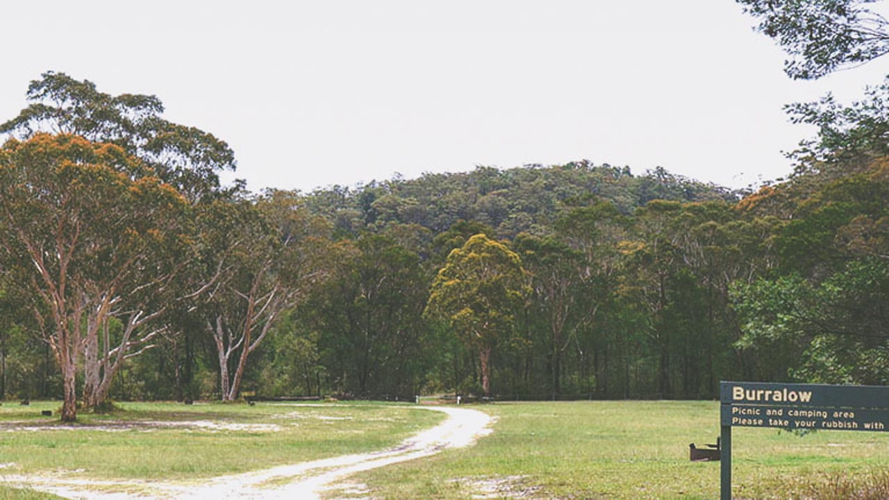
Burralow Creek Campground

Burralow Creek Campground

6. Burralow Reserve

Type: National Park
Distance From Sydney: 81km (1h 31m)
Location: Bellbird Hill NSW
GPS: -33.555564°, 150.603623°
Toilet: Yes
Showers: No
Potable Water: No
Pet Friendly: No
Fires: Yes When Not A Fire Ban
Booking Required: Yes
Price: $8 Booking Fee
Web: https://www.nationalparks.nsw.gov.au/camping-and-accommodation/campgrounds/burralow-creek-campground-picnic-area

Camp near Sydney and get back to nature at secluded Burralow Creek campground and picnic area in Blue Mountains National Park. You’ll find walking and picnicking opportunities just moments from your tent. he fire trail access to this campground is recommended for 4WD vehicles only. Sites are unmarked.

This campground is in a remote location, so its a good idea to pick up your supplies before you arrive. Burralow Creek campground and picnic area is nestled beside Burralow Creek, in the Lower Grose Valley area of Blue Mountains National Park. Set up camp on the grass, surrounded by native scribbly gums and a natural sandstone amphitheatre. This peaceful spot is popular with families and groups of friends looking for a remote bush escape close to Sydney. There’s plenty of space for the kids to roam free. From your tent take an easy bushwalk past a convict-dug pit, along the creek and through a small rainforest gully to Bulcamatta Falls.

  • This site is accessible by 4WD vehicles only and is suitable for tents, camper trailers and camping beside your vehicle.
  • Facilities include BBQs and toilets.
  • It can be a popular place, especially over long weekends, so make sure you arrive early to get the best spots.
  • Book online or contact the National Parks Contact Centre on 1300 072 757.
  • This location is a free campground, however a booking fee of $6 per site applies. Money collected will be used to manage campground numbers and improve your safety.

7. Cathedral Reserve Mt Wilson

Type: Free Camp
Distance From Sydney: 109km (1h 54m)
Location: Mt Wilson
GPS: -33.502094°, 150.390169°
Toilet: Yes
Showers: No
Potable Water: No
Pet Friendly: Yes
Fires: Yes When Not A Fire Ban
Booking Required: No
Price: Free
Web: https://www.mtwilson.com.au/mt-wilson-progress-association/sites-managed-by-the-mwpa?id=60

Cathedral Reserve is on the Mt Irvine Rd on the way out of the Mt Wilson village travelling towards Mt Irvine opposite the Cathedral of Ferns. It is a large open area with Liquidambers along the Mt Irvine Rd and rainforest behind the reserve.

The reserve has been extended several times giving picnickers and campers the choice of camping in the open or amongst the trees. It is suitable for camper trailers, caravans, motorhomes, and tents, particularly above and behind the central grassed area and back into the rainforest.

Bollards have been installed to prevent cars driving on the central grassed areas adjacent to Mt Irvine Rd so these can be used by tents and picnickers and are protected.

Recently a large number of open fireplaces with BBQ facilities have been installed by the Progress Association to aid campers and to discourage the lighting of fires in any other location. This destroyed the grass and increased the risk of bushfire at certain times of the year. Many people camp or picnic at Cathedral Reserve so it can get busy during peak times. Camping is free and no booking is required. There are toilets, fireplaces, picnic tables and garbage bins. Remember to bring your own drinking water, firewood, warm clothes (it gets cold at night), toilet paper and your own camping gear.

Dogs are allowed in the Mt Wilson Village and at Cathedral Reserve however dogs are not allowed in the National Park adjacent to the reserve and village. So walks around the village are ok providing they are not into the National Park. Near the Cathedral of Ferns a path has been made so that visitors can park in Cathedral Reserve and walk to the Cathedral of Ferns without having to walk along the road. This a narrow road on a bend where it is difficult for motorists to see people walking along the road.
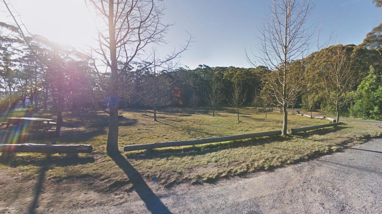
Cathedral Reserve Mt Wilson

Cathedral Reserve Mt Wilson

8. Londonderry Reserve

Type: Free Camp
Distance From Sydney: 114km (1h 41m)
Location: Hartley Vale
GPS: -33.528214°, 150.200416°
Toilet: No
Showers: No
Potable Water: No
Pet Friendly: No
Fires: No
Booking Required: No
Price: Free

A nice quiet spot to camp for a night or two. No facilities are available so you have to be self contained. You can park on the grass away from the road and have a fire. The road to and from Bell is good. Plenty of wood for fires and a couple of hot plates to cook on. When we camped there we saw yellow-tailed black cockatoos, crimson rosella, rabbits, crows and a couple of random emus. We even saw a platypus in the creek under the bridge.
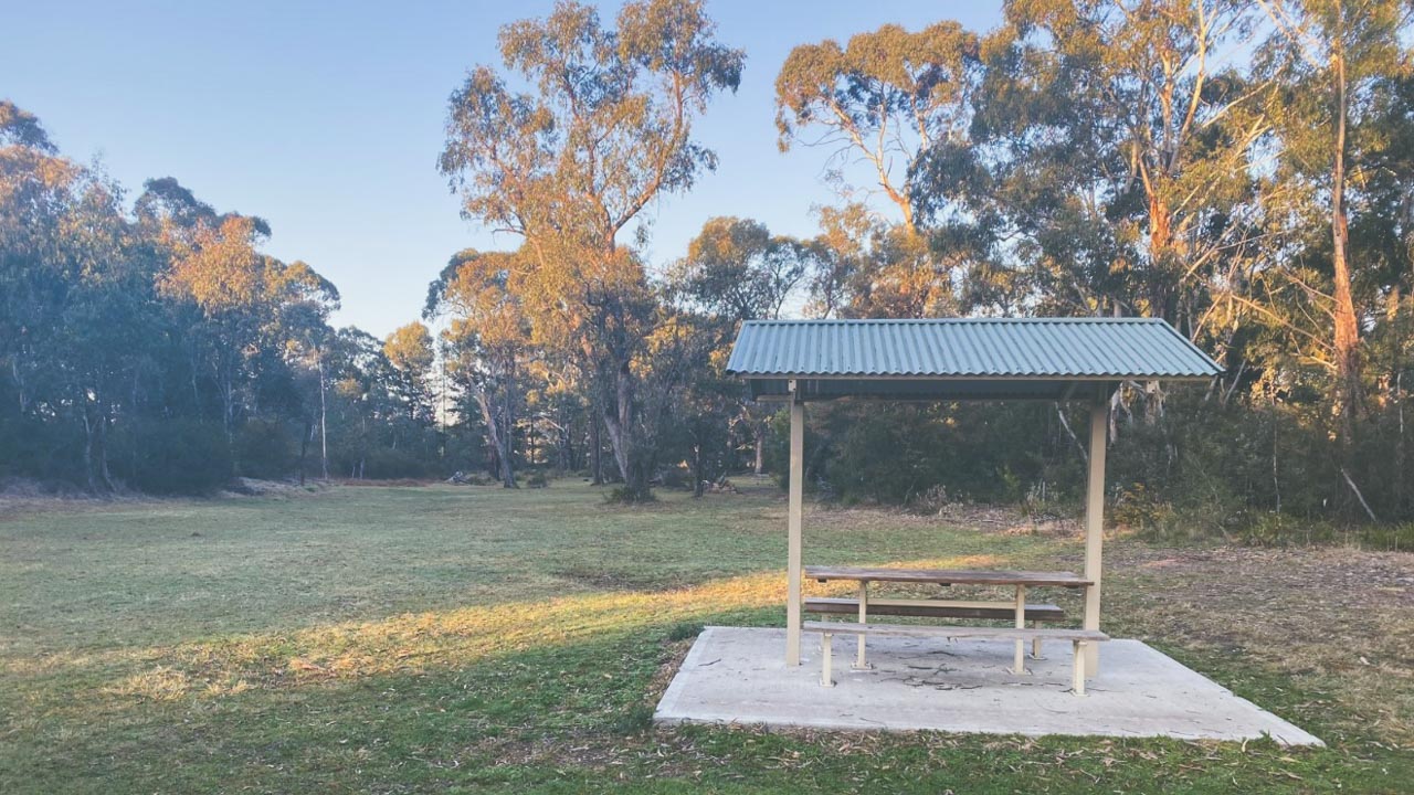
Londonderry Reserve Hartley Vale

Londonderry Reserve Hartley Vale

9. Penrose State Forest

Type: Free Camping In State Forest
Distance From Sydney: 130km (1h 24m)
Location: Penrose NSW
GPS: -34.619495°, 150.214335°
Toilet: Yes at Kingsbury VC Rest Area
Showers: No
Potable Water: No
Pet Friendly: Yes
Booking Required: No
Fires: Yes When Not A Fire Ban
Price: Free
Web: https://www.forestrycorporation.com.au/visit/forests/penrose

You can camp near Sydney in Penrose State Forest for Free. It’s very close to Sydney and just off the Hume Highway. Camp near the Kingsbury VC Rest Area and you have access to toilets. The better camp sites are all out in the forest itself and there are lots of them. Depending upon how adventurous you are you can find some cracking great camp sites if you are willing to just have a look. Penrose State Forest is an ideal overnight spot if you are travelling through to Melbourne from north of Sydney. It’s also great for a long weekend or a one night getaway. There are loads of trails you can walk and explore and if you have a 4wd there are plenty of great tracks to have a go on.
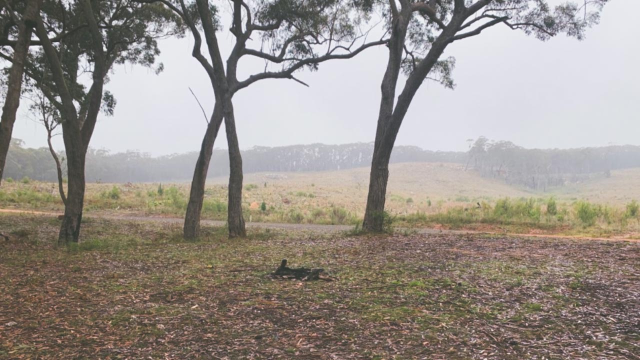
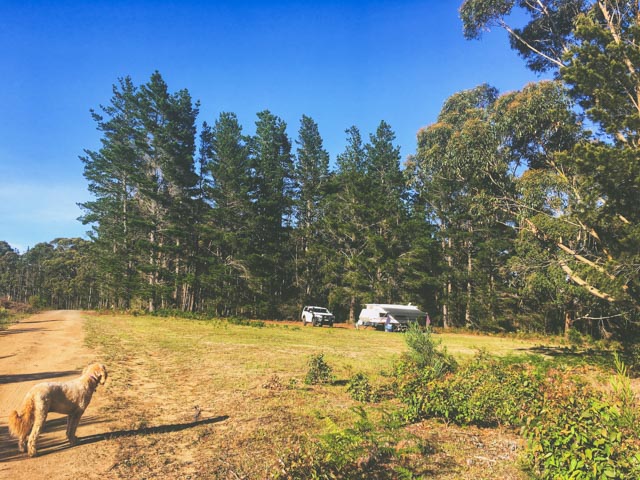
Penrose State Forest

Penrose State Forest

10. Belanglo State Forest

Type: Free Camping In State Forest
Distance From Sydney: Belanglo NSW
Location: 136km (1h 25m)
GPS: -34.527643°, 150.241341°
Toilet: Yes At Dalys Clearing
Showers: No
Potable Water: No
Pet Friendly: Yes
Booking Required: No
Fires: Yes When Not A Fire Ban
Price: Free
Web: https://www.forestrycorporation.com.au/visit/forests/belanglo

Get over yourself and go and camp near Sydney in Belanglo State Forest – Ivan has been dead for a while now. It really is an awesome place to camp in fact it’s a bloody awesome place. Daly’s Clearing has a decent long drop dunny and there is a load of room for plenty of campers which is just as well because it gets busy. It’s mostly busy in the evenings with backpackers turning up in their vans and heading off the next morning. Most people camp in Daly’s Clearing however if you want to go for a drive further out into the forest there are a lot of more secluded places you can camp.

11. Lake Wallace Recreation Area

Type: Free Camping
Distance From Sydney: 136km (1hr 56m)
Location: Wallerawang (Lithgow) NSW
GPS: -33.415073°, 150.073976°
Toilet: Yes
Showers: Yes
Potable Water: Yes
Pet Friendly: Yes
Fires: No
Booking Required: No
Price: No
Web: https://www.visitnsw.com/destinations/blue-mountains/lithgow-area/lithgow/attractions/lake-wallace

We’ve camped here a few times and it’s a bloody ripper! Showers, toilets, a dump point and drinking water at a free camp? There sure is! By the way this is the place where Dave dropped the lid off the toilet canister down the dump point then rolled up his sleeve and stuck his arm in to get it back. Yeah – not good.

Only10 minutes on the Bathurst side of Lithgow Lake Wallace at Wallerawang or “Wang” as it is affectionately referred to by the locals is the ideal place to camp near Sydney with your caravan, swag or camper trailer Lake Wallace is designated an RV friendly campground and is the ideal location to set and camp for a couple of days. Facilities include a dump point, toilets and showers (open 24 hours), playground, barbecue facilities and off-leash dog area, with a great accessible fishing pontoon.
All greywater must be deposited in the dump point.

  • Camping is allowed for a maximum of 48 hours in the designated areas.
  • Wallerawang Town Centre is only a ten-minute walk or two-minute drive for a meal and extra supplies.
  • An information bay is located at the entrance to Lake Wallace with suggestions of the multitude of things to see and do in the Lithgow destination.

12. Lidsdale State Forest

Type: Free Camping In State Forest
Distance From Sydney: 139km (2hr 0m)
Location: Near Rydal NSW
GPS: -33.492323°, 150.064685°
Toilet: No
Showers: No
Potable Water: No
Pet Friendly: Yes
Booking Required: No
Fires: Yes When Not A Fire Ban
Price: Free
Web: https://www.forestrycorporation.com.au/visit/forests/lidsdale-state-forest

Lidsdale State Forest is approximately 15km west of Lithgow along the Great Western Highway. It is adjacent to Marrangaroo National Park to the east and the small village of Rydal is nestled in the southwest corner. You’ll need a 4wd to get in here. There are lots of great spots, go for a drive around don’t just pick the first one you come to as there really are plenty available.

Mountain Biking in Lidsdale State Forest
The Central Tablelands Mountain Bike Club maintains trails throughout the Lidsdale State Forest under a Forest Permit arrangement. The trailhead is located within the showground of the village of Rydal. Trails head north past the Rydal Cemetery and into native bushland.

13. Gambells Rest

Type: National Park
Distance From Sydney: 149km (1h 42m)
Location: Bundanoon NSW
GPS: -34.668261°, 150.296205°
Toilet: Yes
Showers: Yes
Potable Water: No
Pet Friendly: No
Fires: No
Booking Required: Yes
Price: $12per person per night plus park access fees
Web: https://www.environment.nsw.gov.au/NationalParks/parkCarCamping.aspx?id=N0022

Located near Bundanoon in NSW’s southern highlands Gambells Rest campground offers tent, trailer and caravan sites plus a picnic area and walking and cycling trails. Gambells Rest campground gives you the best of both worlds. Serene bush campsites that are conveniently located close to the shops and services of Bundanoon. You’ll find more than ten popular walking tracks nearby, along with lookouts offering sensational views. Bike ride along the rocky roads to the trailheads or set out on a car tour of the park. After a day exploring the beauty of the southern highlands take advantage of the campground’s great modern facilities including barbecues, camp kitchen, toilets and hot showers.
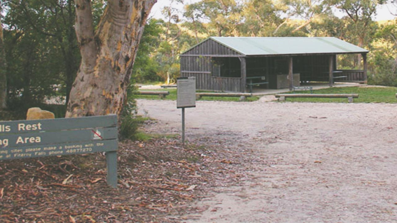
Gambells Rest Campground In Morton National Park

Gambells Rest Campground In Morton National Park

14. Bendeela Camping Reserve

Type: Free Camping (Booking Fee)
Distance From Sydney: 159km (2hr 4m)
Location: Kangaroo Valley NSW
GPS: -34.738819°, 150.470611°
Toilet: Yes
Showers: No
Potable Water: Yes
Pet Friendly: No
Fires: No
Booking Required: Yes
Price: Booking Fee $6
Web: https://www.visitnsw.com/destinations/south-coast/jervis-bay-and-shoalhaven/kangaroo-valley/attractions/bendeela-camping-and-picnic-area

Bendeela is a rustic camping ground and picnic area set in natural bushland on the banks of the Kangaroo River arm of Lake Yarrunga (Tallowa Dam) just out of Kangaroo Valley. Facilities include basic campsites (there is no power to the camping and picnic grounds), toilets and drinking water. No wood, charcoal or solid fuel barbecues or cooking devices can be used. Portable gas barbecues are permitted except during total fire bans. Permitted activities include fishing, swimming, bushwalking, canoeing and non-powered boating on the Kangaroo River and Lake Yarrunga. Picnic and camping sites are available on a ‘first in first served’ basis and cannot be reserved.

  • All campers will be required to book in advance. No camping will be permitted without a booking.
  • This picnic area may be closed during times of flooding or access to Lake Yarrunga is restricted when Tallowa Dam is spilling.

15. Wollondilly River Station

Type: Paid Campground
Distance From Sydney: 162km (2h 17m)
Location: Bullio NSW
GPS: -34.306472°, 150.066333°
Toilet: Yes
Showers: No
Potable Water: Yes
Pet Friendly: Yes
Fires: Yes (depending upon weather and restrictions)
Booking Required: Yes
Price: $20per adult per night – $20per school aged child per night
Web: http://www.wollondillyriverstation.com

This one is just over two hours from Sydney but it’s a great camp near Sydney. Possibly one of the best on this list so we have included it. You follow the picturesque Wombeyan Caves Road from Mittagong deep into the heart of the Wollondilly Rivers’ valley to reach Wollondilly River Station at Goodmans Ford. Wollondilly River Station straddles the Wollondilly River on both sides. It is full of natural beauty and rugged terrain. It’s a great place to camp with your dog and there were many families there and everyone was having an absolute ball. The river is fantastic for swimming and the facilities are more than enough for what you need. We can’t wait to come back for another stay.

  • Camp fires (depending upon weather and restrictions)
  • Riverside camping
  • Pets welcome
  • Swimming & canoeing
  • Bushwalking & mountain biking

To get there you need to follow Wombeyan Caves Road from the Mittagong end. Wombeyan Caves road is all dirt, usually well maintained although it is very tight and has lots of hairpin bends and has a steep dropoff on one side for most of the way. It’s easily driven in a 2WD vehicle when it’s dry, but if it rains it is not advisable. You are ok towing a small offroad van, but anything over say about 17 feet in length and you would not attempt it. Long motorhomes, fifth wheelers, that kind of thing sorry but you’d be bonkers mad to try it. Don’t try it from the Wombeyan Caves end unless you are a very experienced 4wd operator with a decent vehicle. Towing anything from the Wombeyan Caves side is not recommended at all.

16. Wingello State Forest

Type: Free Camping In State Forest
Distance From Sydney: 163km (1h 43m)
Location: Wingello NSW
GPS: -34.715833°, 150.189104°
Toilet: Yes At Wingello HQ Camp
Showers: No
Potable Water: No
Pet Friendly: Yes
Booking Required: No
Fires: Yes When Not A Fire Ban
Price: Free
Web: https://www.forestrycorporation.com.au/visit/forests/wingello

You can camp in Wingello State Forest for Free. Camp at the Wingello HQ Camp and you have access to toilets. The better camp sites are all out in the forest itself and there are lots of them. There is a lot of room in Wingello State Forest and if you don’t need a spot in the HQ Camp with access to toilets you can find an almost limitless number of camp sites. You’ll always be able to find a place to camp here even at busy times. Depending upon how adventurous you are you can find some cracking great camp sites if you are willing to just have a look. It’s great for a long weekend or a one night getaway. There are loads of trails you can walk and explore and if you have a 4wd there are plenty of great tracks to drive.

If you are into mountain biking then wingello State Forest is a great place for you to spend a weekend or longer. It has three main trails as listed below however if you are adventurous have a crack and make your own!

Blue Trail
7km in length all formed roads and fire trails within pine plantation

Yellow Trail
18km in length all formed roads and fire trails through pine plantation and native forest

Red Trail
22km in length with a combination of formed roads and fire trails as well as sections of single track of varying degrees of difficulty

Dog Friendly Free Camping Wingello State Forest Two Hours From Sydney

Dog Friendly Free Camping Wingello State Forest Two Hours From Sydney

17. Bungonia National Park

Type: National Park
Distance From Sydney: 193km (2h 0m)
Location: Bungonia NSW
GPS: -34.806951°, 150.003212°
Toilet: Yes
Showers: Yes
Potable Water: Yes
Pet Friendly: No
Fires: No
Booking Required: Yes
Price: $12per person per night plus park access fees
Web: https://www.nationalparks.nsw.gov.au/camping-and-accommodation/campgrounds/bungonia-campground

Bungonia campground combines a beautiful bushland setting with excellent camping facilities where you can camp near Sydney. From here, you can enjoy hiking, caving, or bushwalking.Sites are unmarked and unpowered. Facilities include amenities block with hot showers and flush toilets, communal camp kitchen with gas cooktops, drinking water, free gas/electric barbecues and picnic tables. Parking is available in the campground. Total campground capacity is 200 people. Bungonia campground gives you simple creature comforts and excellent camping facilities in a natural bushland setting within one of NSW’s most exciting national parks.

Whether you’re caving over a wintery weekend, canyoning Bungonia or Jerrara Creek. There is rock climbing the limestone cliffs of Bungonia Slot Canyon or tackling one of the many hiking trails on offer in the park this campground is an ideal base to come and go from. There are hot showers, an enclosed cooking area and gas heating in the camp kitchen over the winter months. Kangaroos can be seen grazing at dusk and dawn, goannas emerge from hibernation to patrol the campground over summer, and koalas have been spotted in nearby trees. From here a loop around the Green track offers a great overview of the park.

Conclusion

There are lots of places where you can camp near Sydney. And if you want to camp near Sydney it doesn’t have to be in a caravan park or an expensive Hipcamp site. All you need to do is get out and have a look.
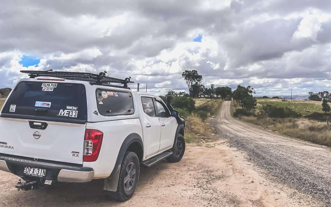


Day Trip To Tuena NSW Via Bigga Then Neville To Cootamundra

Day Trip To Tuena NSW Via Bigga Then Neville To Cootamundra

Day Trip To Tuena NSW Via Bigga Then Neville To Cootamundra

Tuena NSW is a cool little former gold mining town in the Upper Lachlan Shire. We went on a day trip via Bigga after leaving home in Cootamundra. We came home though Neville, another small town 60km south-west of Bathurst.

We left home at around 10.00am and headed off to check out Tuena NSW. Amanda has just bought herself a gold detector and was looking up places near us where we could potentially do a bit of prospecting. Tuena sounded like a great place to try so we pointed the car in a general north-west direction from Cootamundra and headed out of town.

Road Between Reids Flat And Bigga NSW

Road Between Reids Flat And Bigga NSW

Frogmore NSW

After rolling through the outskirts of Boorowa the first interesting place we drove through was Frogmore. We’ve been this way before and we really should get out and have a better look around Frogmore. Frogmore NSW was originally a copper mining town and later on they mined tungsten and silver nearby. Back around the 1850s gold was discovered in the area however it wasn’t in any significant quantity so mining took place.

Reids Flat NSW

The next place of any size we drove through was Reids Flat. We’ve been through Reids Flat before quite a few times on our way to other places.

There is a rich bushranger history at Reids Flat and Amanda and I love our early bushranger history. Early 1860s bushrangers in the area included Jack Peisley and Frank Gardiner who often sought refuge at the farm of William Fogg. There was a legend that girlfriends and wives would hang white washing on the lines in the valley when the coast was clear in the caves within the surrounding rocky mountains that provided excellent hideouts for bushrangers.

Wool production has for a long time been the typical mainstay in the Reids Flat area. Merino sheep wool produced locally is among the best in the world, with the majority of fleece pre-sold to the Italian fashion industry. The prices they receive per bale regularly reach world records and these wool producers have been farming in the district for over a century.

Bigga NSW

Reids Flat Road between Reids Flat and Bigga is mostly well graded dirt. It has a few steep sections and a few creek crossing that would make it fairly difficult to navigate after rain. Even a decent storm would have you waiting a while to get across some of them. It’s in generally good condition with a few mildly corrugated sections. It’s more of a well maintained logging trail than a main road. It’s good enough to tow a medium sized caravan along if you are confident and well set up.

Bigga is a fantastic village with a population that hovers around 250. It has a pub and a well stocked general store. The store looks like it hasn’t changed at all since the 1960s. It smells of old wood fires in the stove, it was cool enough when we were there for the fire to be going. The store is meticulously clean and everything is stacked on the many shelves to absolute perfection. Everything is lined up perfectly. We bought some pies and sausage rolls for lunch from the general store.

Selfie Time

Selfie Time

We spent about 30 minutes talking to the lady who owns and runs the store. She’s been running the store for a long long time. I forgot to ask how long. She is certainly a wealth of knowledge when it came to the town of Bigga. Amanda and I really enjoyed our talk with her and are looking forward to meeting up with her again some time.

Camping At Bigga NSW
Bigga allows camping at the recreation grounds. The camping at the recreation grounds is by donation so don’t forget to chip in to help keep this place active. There are hot showers and toilets as well as drinking water available.

Tuena NSW

Tuena NSW is an historic gold mining village located 60km north of Crookwell and 88km south of Bathurst. It was built during the NSW Gold Rush after gold was discovered at Tuena in 1851. Shortly thereafter in 1852 the first post office was established and many stores and hotels sprung up shortly thereafter as the population rapidly increased. In 1859 Tuena was officially named a town.

Historic 1866 Goldfields Inn Tuena NSW

Historic 1866 Goldfields Inn Tuena NSW

We really enjoyed Tuena. We’ve made plans to go back and camp there so we can spend a good few days at least having a good look around the local. we had a coffee at the craft shop and a good talk with the ladies who were on duty. They all love Tuena and were very happy to share a little bit of it’s history with us.

Historical Info Board Tuena

Historical Info Board Tuena

There are some fantastic old buildings in Tuena NSW. Most of them are really good order and still being used. Some of the buildings still standing are listed below.

  • 1861 Bookkeepers Cottage
  • 1866 The Goldfields Inn
  • 1866 St Marks Anglican Church
  • 1886 Parsons General Store
  • 1888 The Bank Of NSW
  • 1889 Tuena Public School
  • 1890 St Margarets Presbyterian Church
  • 1894 Suspension Bridge
  • 1900 Police Station
  • 1934 St Marys Catholic Church
  • 1936 Bush Nursing Sisters Cottage

Historic 1886 St Marks Anglican Church Tuena NSW

Historic 1886 St Marks Anglican Church Tuena NSW

Camping At Tuena
Free camping is available at Tuena Campgrounds. $10 per night powered and $5 per night unpowered payable at the general store. Showers, toilets, drinking water and fires are all available. It’s quite a large area. The ladies in the craft store said it’s usually pretty quiet. We were there on an Easter Monday and there was loads of room available. This one is definitely on our list of places to camp.

Gold Fossicking At Tuena NSW
Tuena Creek is open to fossickers withing the village area. Gold is also regularly found at Mt Costigan, Junction Point, Abercrombie River and Grove Creek.
After leaving Tuena we headed across the suspension bridge just north of town. It reminded me of the Victoria Bridge in Picton NSW near where we used to live. The original Tuena suspension bridge was built in 1894 and then raised higher after being washed away in 1916. It was washed away again in 1996 and rebuilt in 1999. This one didn’t last long before being damaged in the floods of 2010. It was replaced by another longer version in 2013. Hopefully this one lasts a while!
The road north out of Tuena is pretty tight and has a lot of bends, some of them are really tight. It’s a good road but you need to take care. We travelled north as far as Trunkey Creek where we turned off on to Hobbys Yards Road. We followed Hobbys Yards Road until we turned on to Trunkey Road and that took us through to the village of Neville. Hobbys Yard Road and Trunkey Road are both fairly tight well made gravel roads. They both have a few dips were you cross crekks that would be difficult to pass after wet weather.

Neville NSW

Europeans began settling in the area shortly after Bathurst was founded in 1815 but the exact date is unknown. The village was known by different names before it was finally called Neville in 1888. It has also been called No-one swamp or Number one swamp. It was also known as Macquarie after Lachlan Macquarie, an early governor of New South Wales. Also Mount Macquarie after the nearby Mount Macquarie.

It is also possible that Neville was a stagecoach stop on the direct route from Rockley to Cowra. The modern city of Cowra was built in a region previously called “The Lachlan”. The road joining Rockley to “The Lachlan” was called “The Old Lachlan Road”. Fragments of the “Old Lachlan Road” still exist near Rockley north of Hobbys Yards south of Woodstock and in Neville.

1929 Neville Hotel

1929 Neville Hotel

Some of the old buildings were erected during the period while Neville was called Mount Macquarie including the school built in 1858 which is still in use today. A few churches were built during the late 19th century. The Uniting church still conducts several services once a year and the tiny Presbyterian church is available to be used for special occasions. The third remaining church the former Church of England church has been converted into a house. A public hall built in 1890 is still used for public and private functions. A hotel which was built in 1929 still exists after the original Neville Hotel was lost in a fire. The hotel was closed when we visited and appeared to have been so for quite a while. Loads of the homes within the town date back to the late 19th and early 20th centuries.

Our Route

Touring Route Cootamundra To Tuena Via Bigga And Home Via Neville

Touring Route Cootamundra To Tuena Via Bigga And Home Via Neville

Conclusion

What a great day out. We did spend a fair bit of it in the car however we found a few great places that we hadn’t been to before and plan on going back to and exploring over the course of a few days.

Disused Grain Silos Belfrayden NSW

Disused Grain Silos Belfrayden NSW

Disused Grain Silos Belfrayden NSW

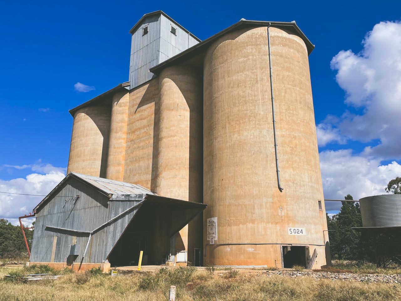
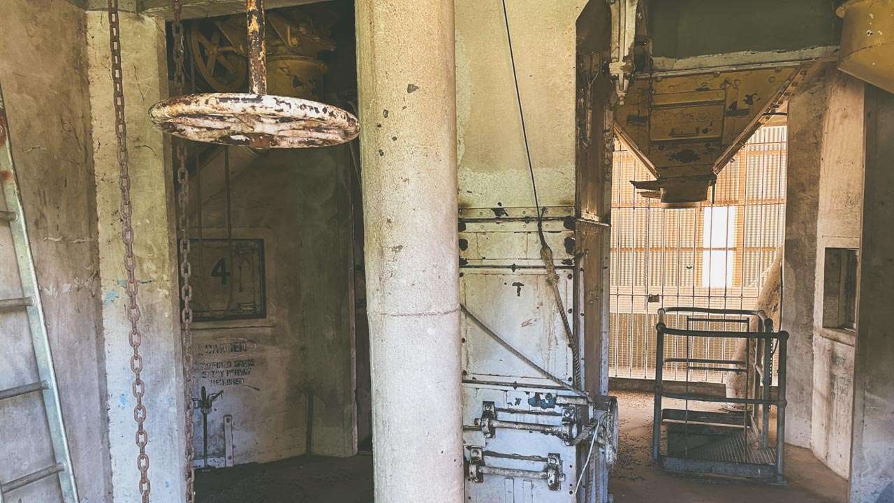
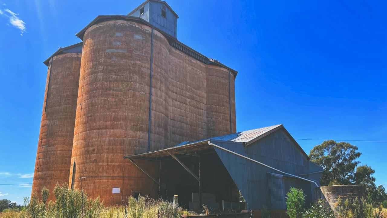
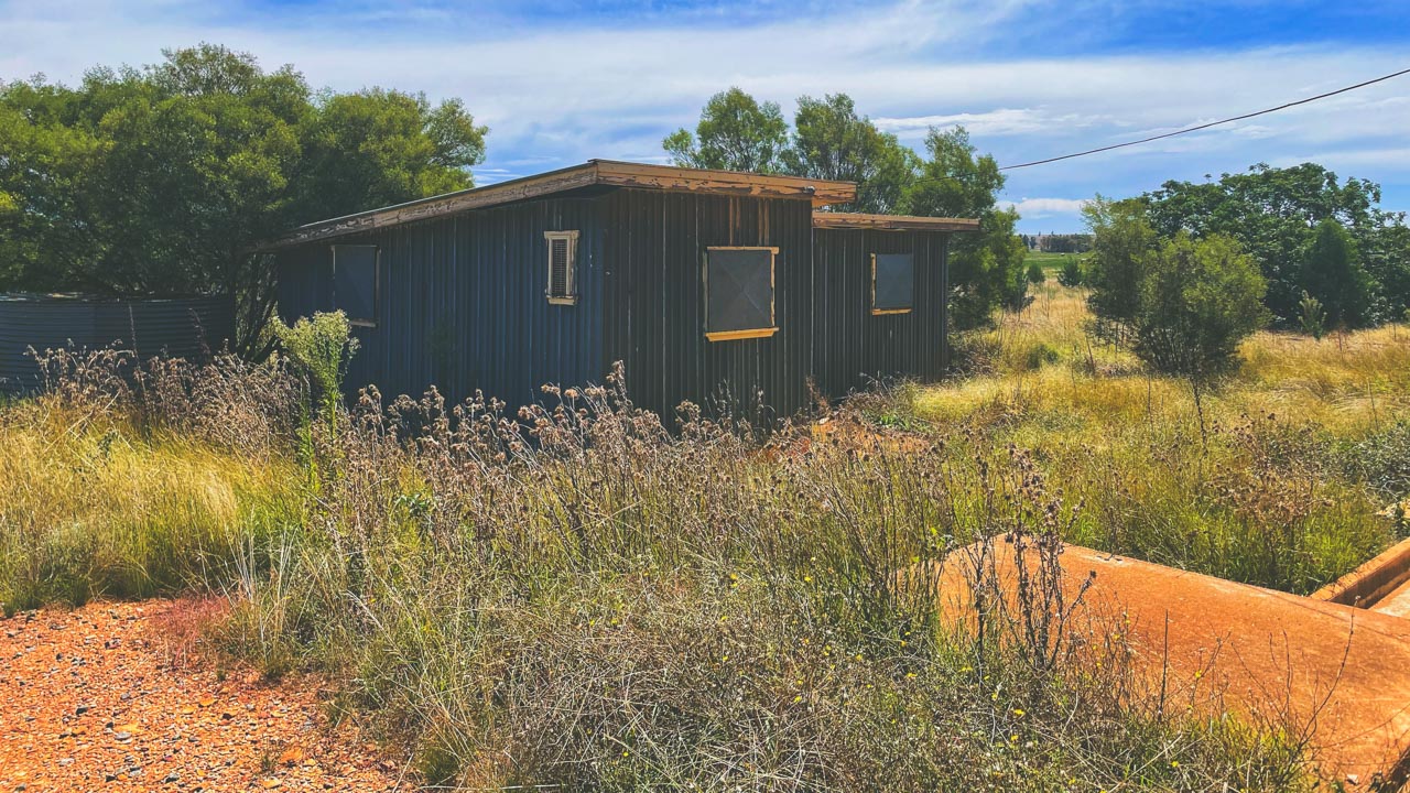
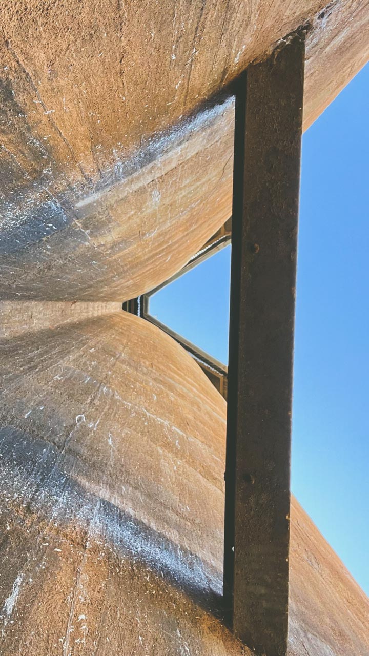
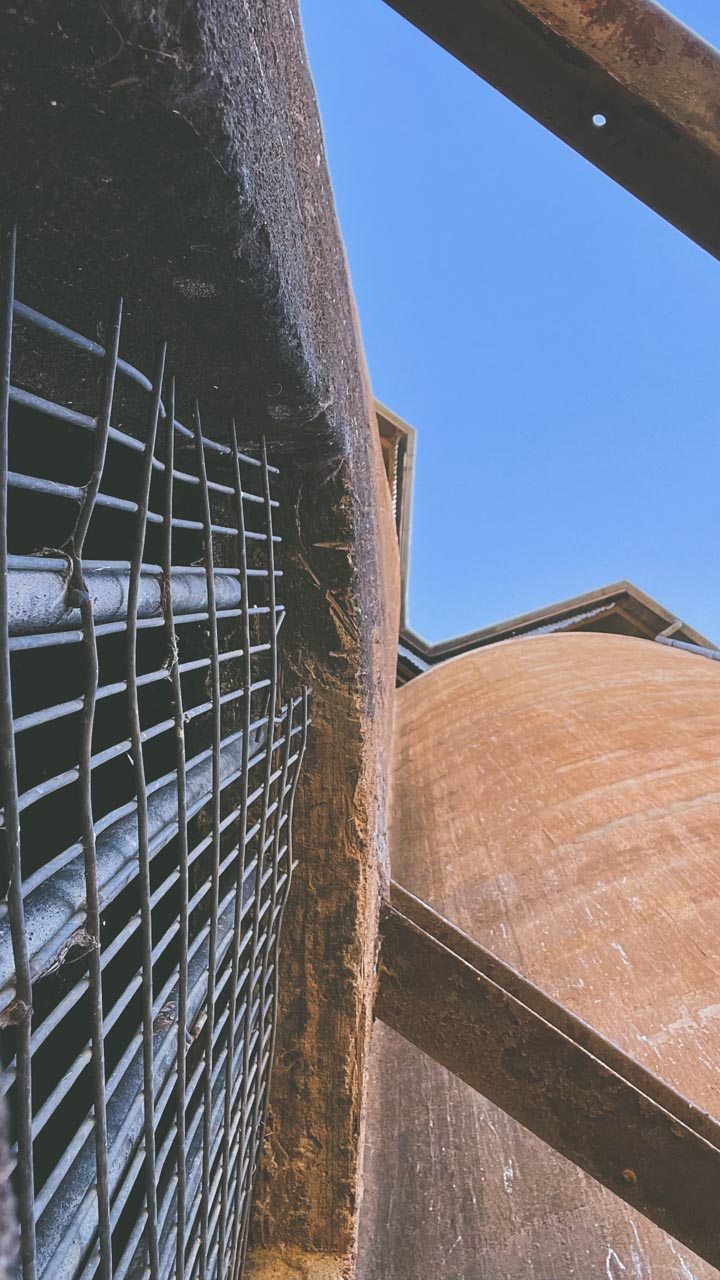
I had a look through the now disused grain silo at Belfrayden in April 2023. Passenger services ceased operation on the Uranquinty to Kywong line in 1975 during a time of widespread closure of New South Wales branch-line passenger services.

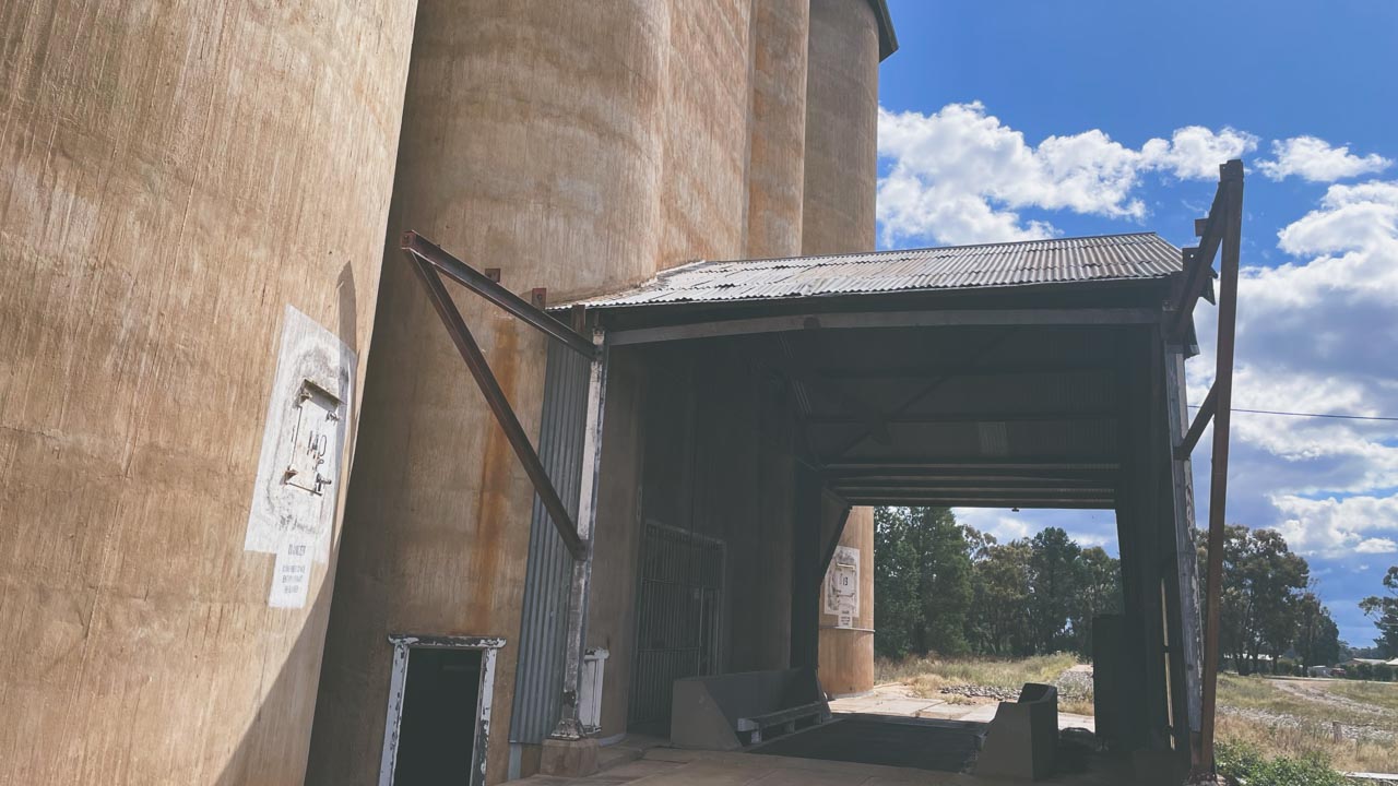
Abandoned Grain Silos At Belfrayden NSW

Abandoned Grain Silos At Belfrayden NSW

After this the line was as a seasonal wheat line. The line was completely closed in 1988. The now disused grain silos at Belfrayden were likely in use up until about that time. They are now in a fairly overgrown state having closed over 30 years ago.

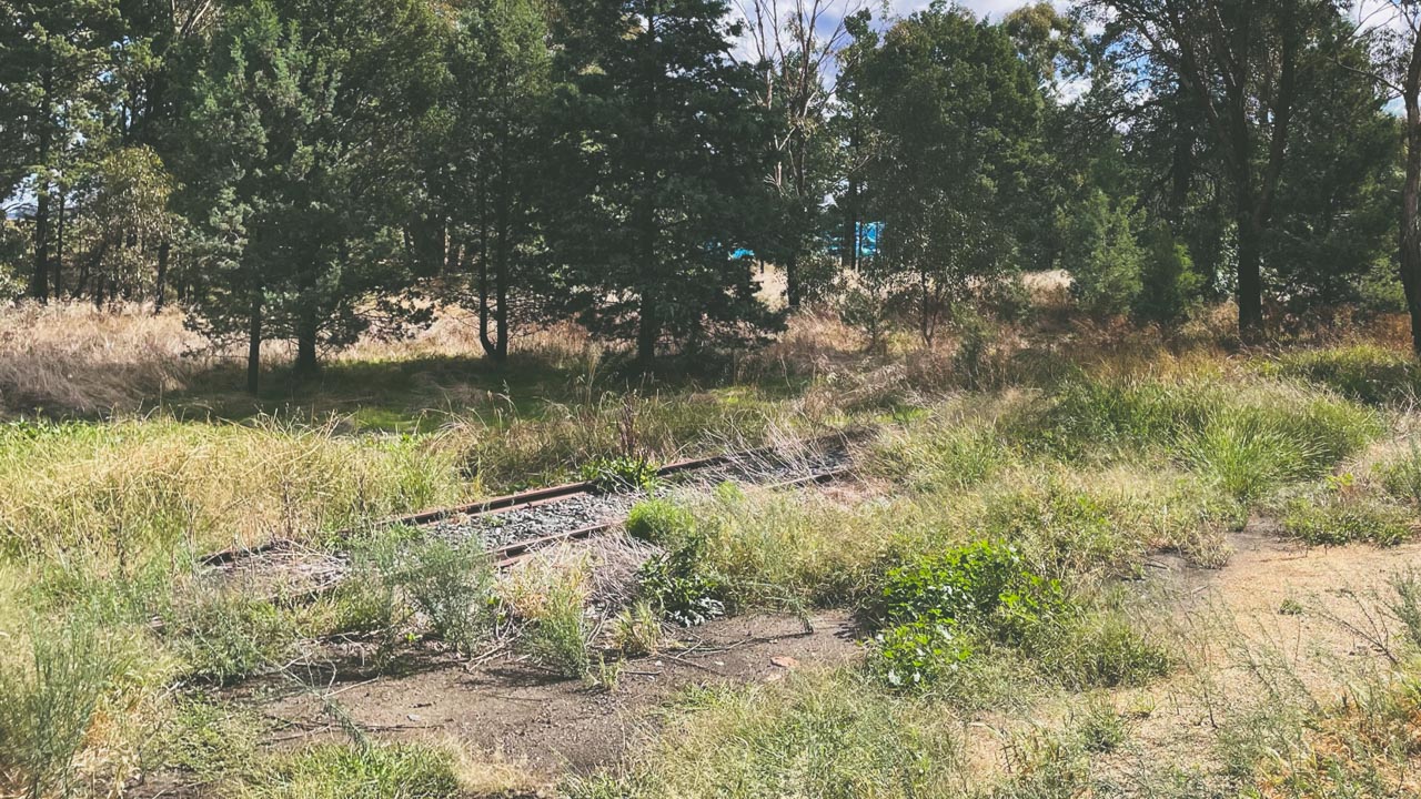
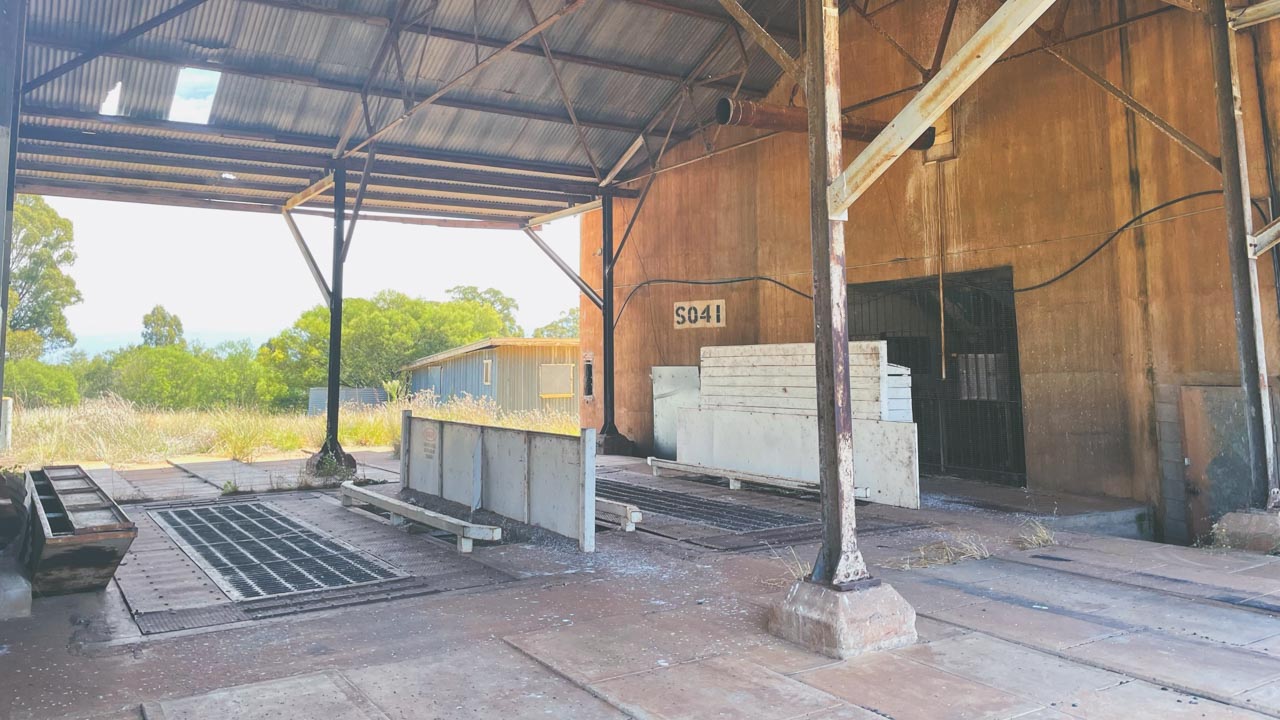
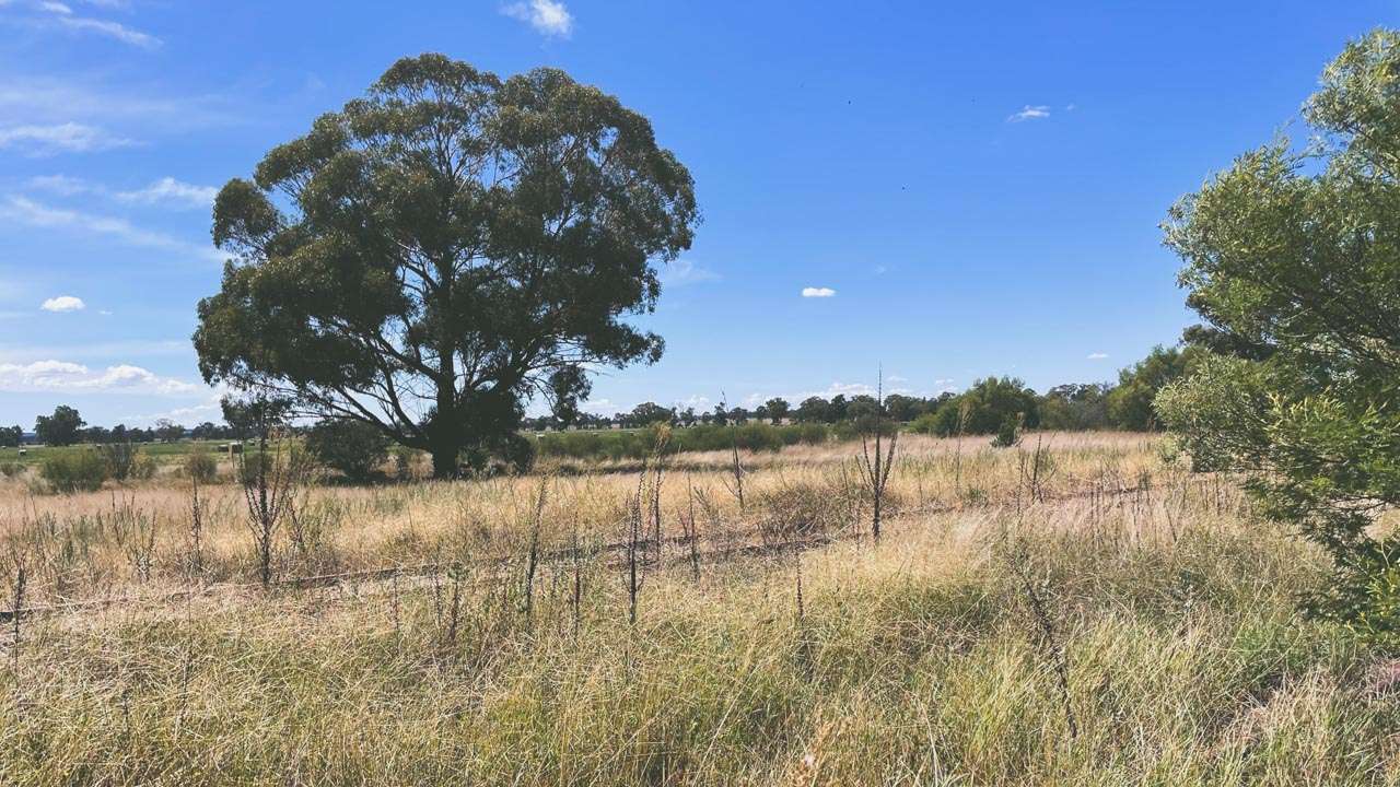
Old Railway Siding At Belfrayden Grain Silos

Old Railway Siding At Belfrayden Grain Silos

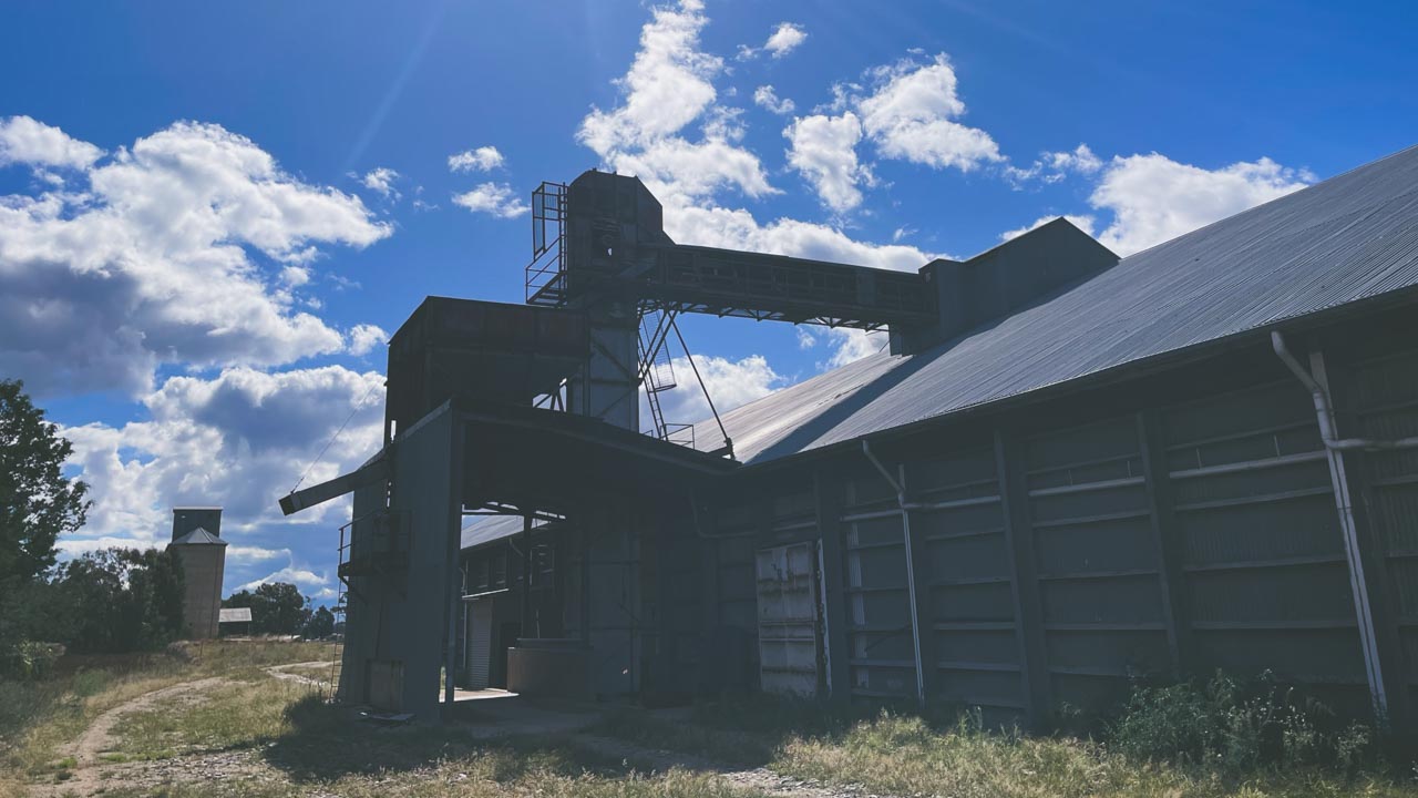
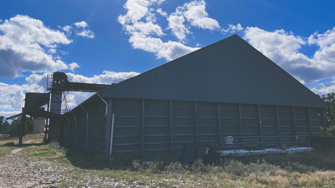
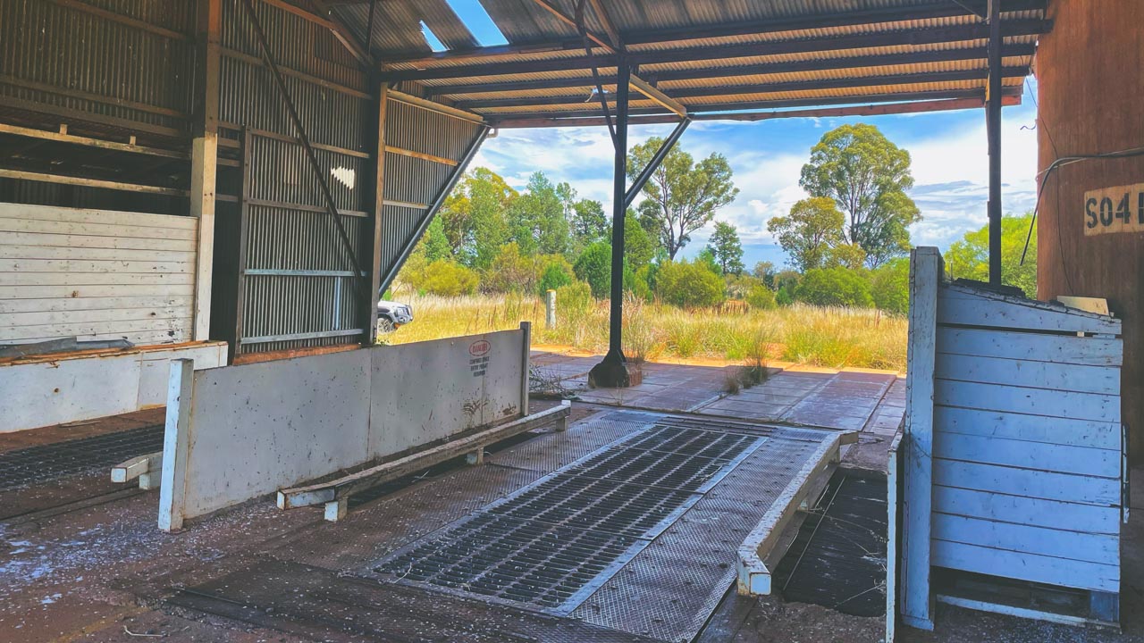
There is also a grain storage shed of typical construction on the site and it looks as if it might still be in use by a local pastoral company.

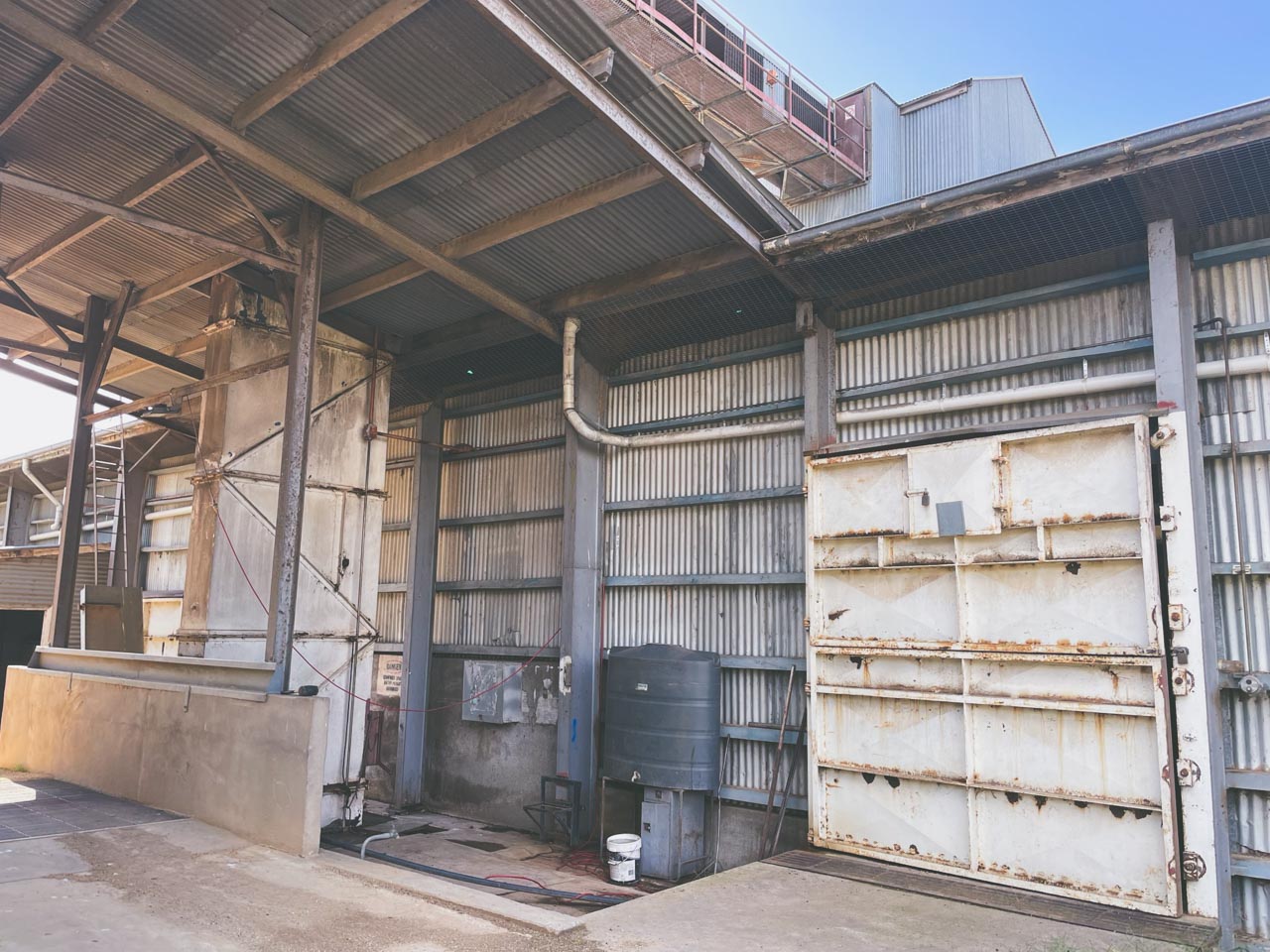
Outside Grain Storage Shed Abandoned Grain Silos At Belfrayden NSW

Outside Grain Storage Shed Abandoned Grain Silos At Belfrayden NSW

Grain Silos Australia – Why Do we have Them?

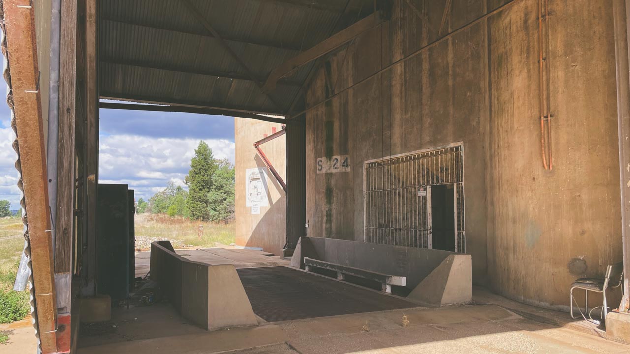
An Australian Wheat Board was formed under the War Precautions Act 1914. After formation of the Australian Wheat Board (AWB) the federal government began building grain silos across the wheat-producing regions. A concrete silo type S024 [2400 tonnes capacity] was built at Belfrayden in 1931 on the now abandoned Uranquinty to Kywong railway line.

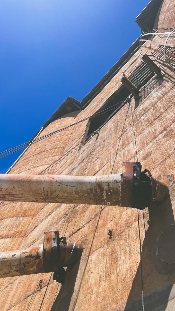
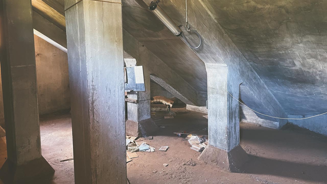
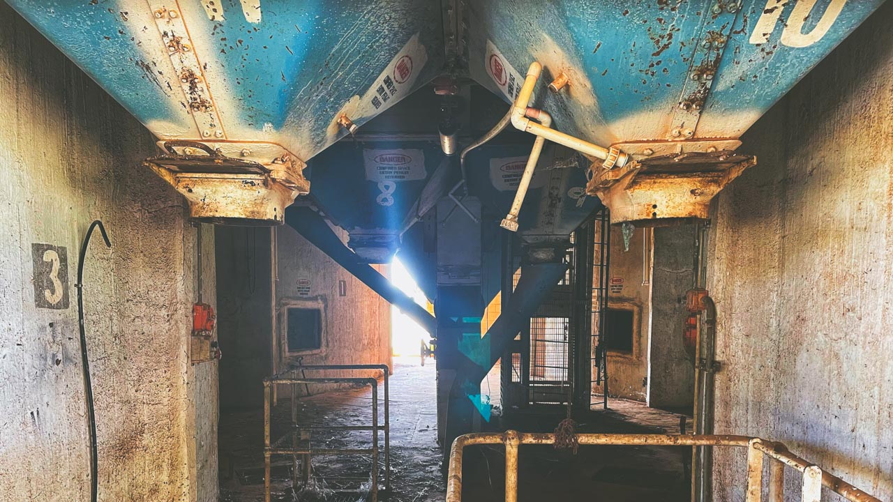
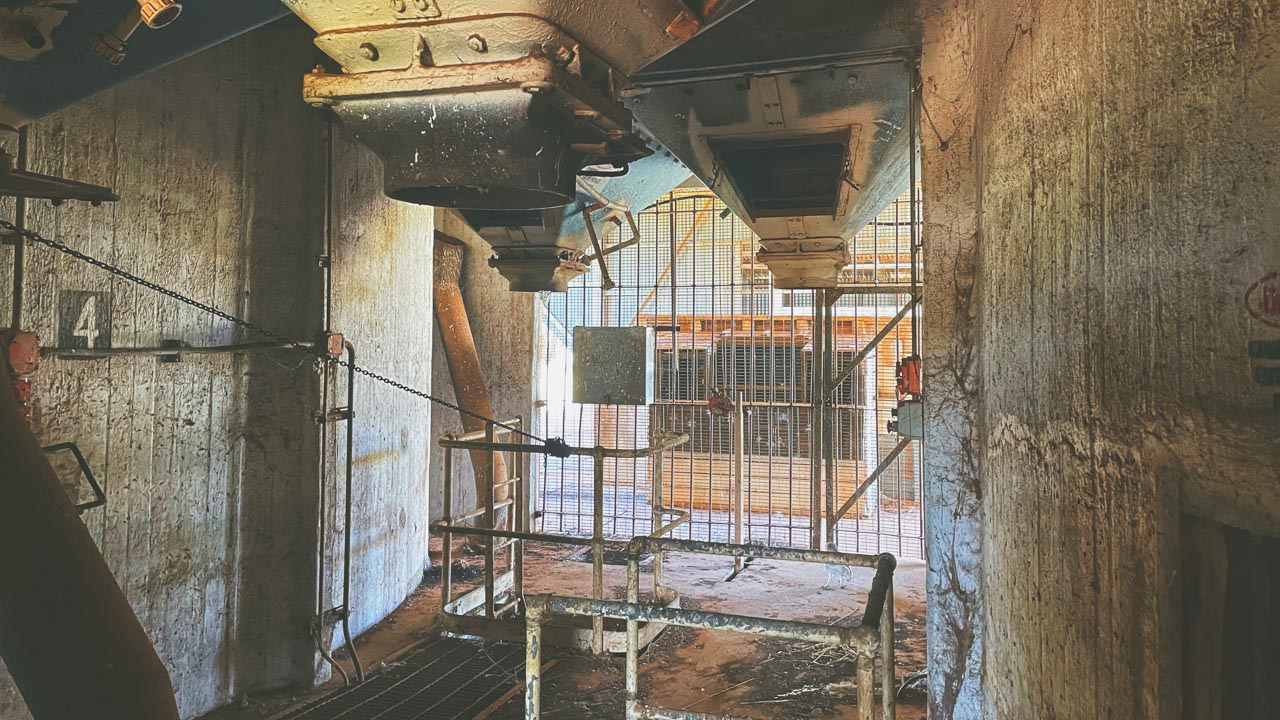
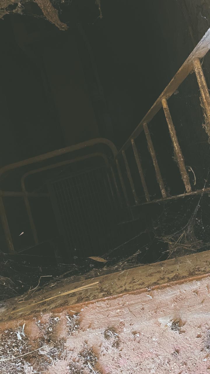
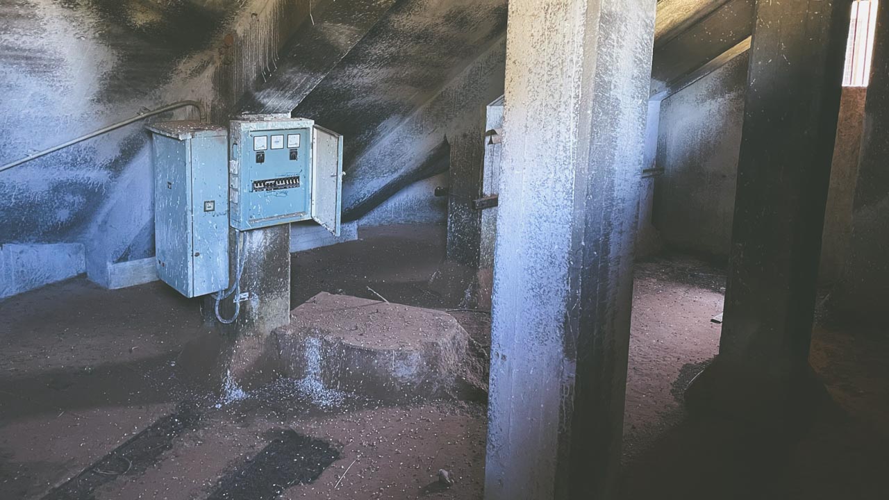
Inside Abandoned Grain Silos At Belfrayden NSW

Inside Abandoned Grain Silos At Belfrayden NSW

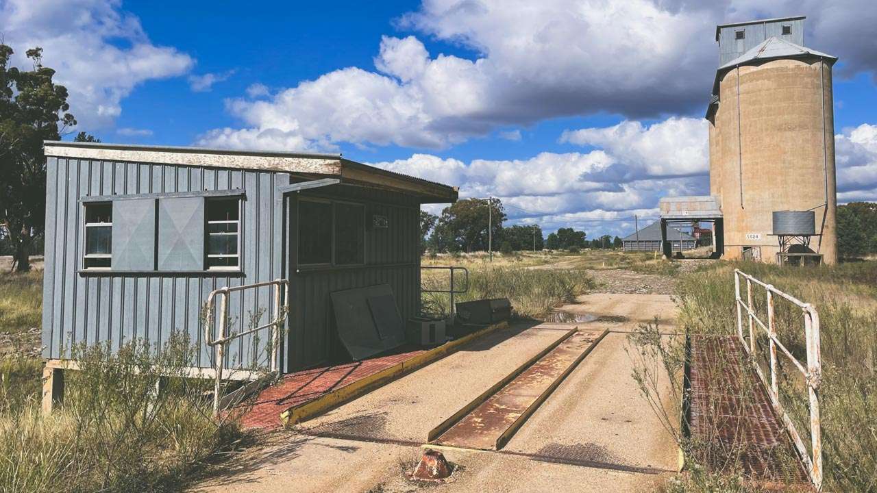
The Grain Silo Weighbridge At Belfrayden

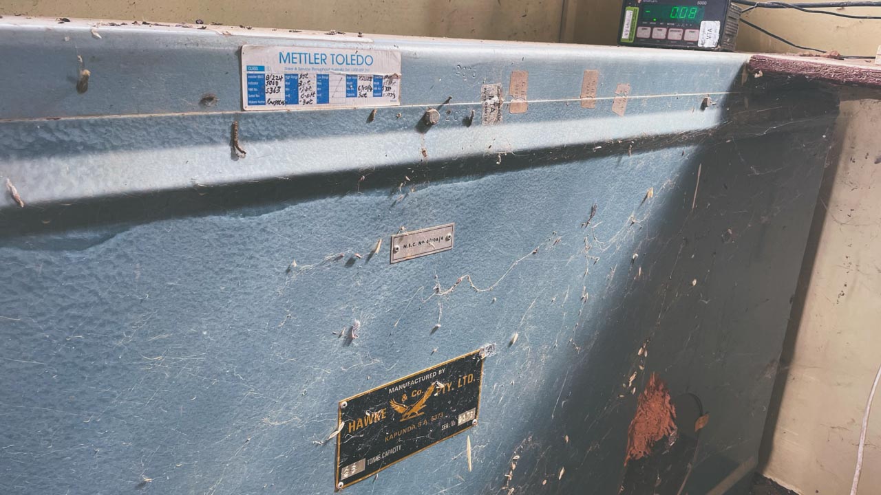
The grain silo weighbridge at Belfrayden is fully intact. With a clean-up and a service I think it would be ready to use. The scale section of the weighbridge is clearly marked as having been made by Hawke & Co. Pty. Ltd in Kapunda SA. It has a label on it with sales and service information from Mettler Toledo.

Belfrayden Grain Silos Weighbridge

Belfrayden Grain Silos Weighbridge

About Belfrayden

Belfrayden is a small New South Wales Rural Location within the local government area of Wagga Wagga, it is located approximately 405kms from the capital Sydney covering an area of 4.046 square kilometres. Belfrayden has a recorded population of 30 residents and is within the Australian Eastern Daylight Time zone Australia/Sydney.

Grain Silos Australia Gallery – Belfrayden

25 Best FREE Murray River Camping Spots (Map + Access 2026)

25 Best FREE Murray River Camping Spots (Map + Access 2026)

25 Best FREE Murray River Camping Spots (Map + Access 2026)

✔ 25 free camps
✔ VIC, NSW & SA locations
✔ 2WD + caravan friendly options

Discover 25 tested Murray River camping spots from many years exploring the Murrays free camps. Pet friendly sites with detailed access info.

We’ve personally camped at multiple locations along the Murray River over several trips, experiencing everything from peak holiday crowds to quiet off-season stays. This guide is based on real travel experience, not just research.

Murray River Camping Map – Map Of 25 Free Camps Along The Murray River

To make planning easier we recommend mapping out your route before heading off. Most camps are spread along remote stretches of the river and mobile reception can be limited.

1. The Police Paddocks Camping (Rutherglen)

Read Our Police Paddocks Conservation Reserve Full Blog Post

Location: Near Rutherglen, Victoria
Latitude: -35.980250
Longitude: 146.505096
Cost: Free
Access: 2WD & 4WD year-round

After decades of exploring Australia’s free camping network, The Police Paddocks Campsite along Murphys Creek near Rutherglen remains one of our most recommended stops in Victoria’s northeast. This sprawling riverside site consistently delivers what many promise but fail to provide – genuine space.

Facilities:

  • No facilities (self-sufficient camping)

Pros:

  • Large open camping area
  • Easy access year-round
  • Good mobile reception

Cons:

  • No toilets or water
  • Fully self-contained required

Murray River Free Camping Berri SA

Murray River Free Camping Berri SA

2. Trues Beach Camping (Yarrawonga)

Location: Near Yarrawonga, Victoria
Latitude: -35.955155
Longitude: 145.909689
Cost: Free
Access: 2WD (dry) / after rain

Trues Beach is a peaceful riverside campsite located in the River Murray Reserve. It’s a grassy area right on the riverbank, ideal for swimming, kayaking, and relaxing.

Facilities:

  • No facilities

Pros:

  • Direct river access
  • Suitable for caravans and campers
  • Pet friendly

Cons:

  • No toilets
  • Access difficult after rain

3. Doolans Bend Camping (Howlong)

Location: Near Howlong, Victoria
Latitude: -36.023015
Longitude: 146.654183
Cost: Free
Access: 2WD

Doolans Bend offers quiet bush camping along the Murray River, ideal for those wanting a more natural and less crowded experience.

Facilities:

  • No facilities

Pros:

  • Peaceful setting
  • Great for kayaking and swimming

Cons:

  • Fully self-sufficient required
  • Falling branches possible

4. Big Naughtons Camp 1 (Bundalong)

Location: Near Bundalong, Victoria
Latitude: -36.048345
Longitude: 146.197474
Cost: Free
Access: 2WD

Located beside the Ovens River, this is a popular bush camping area within the Lower Ovens Wildlife Reserve.

Facilities:

  • No facilities

Pros:

  • Scenic riverside location
  • Campfires permitted (conditions apply)

Cons:

  • No toilets
  • Limited mobile reception

5. Yarrawonga River Camp

Location: Yarrawonga, Victoria
Latitude: -36.012088
Longitude: 145.980935
Cost: Free
Access: 2WD

A well-known camping area in Yarrawonga Regional Park, offering sandy beaches and river access.

Facilities:

  • Pit toilets (approx. 300m away)

Pros:

  • Scenic river bends
  • Close to town
  • Good facilities nearby

Cons:

  • Can get busy
  • Tree hazards

6. Forges Beach No. 1 Camping

Location: Near Yarrawonga, Victoria
Latitude: -35.996172
Longitude: 145.963423
Cost: Free
Access: 2WD

A riverside campsite within Yarrawonga Regional Park offering basic facilities and good access.

Facilities:

  • Long-drop toilets

Pros:

  • Easy access
  • Good facilities
  • Pet friendly

Cons:

  • Security concerns reported
  • Can get crowded

7. Finley Beach Camping (Tocumwal)

Location: Near Tocumwal, Victoria
Latitude: -35.822046
Longitude: 145.559320
Cost: Free
Access: 2WD

A popular Murray River campsite featuring a sandy beach and good facilities.

Facilities:

  • Toilets

Pros:

  • Great swimming spot
  • Family-friendly
  • Good access

Cons:

  • No pets allowed

8. Gulf Camping Ground (Barmah National Park)

Location: Barmah National Park, Victoria
Latitude: -35.843087 (corrected likely typo)
Longitude: 145.151882
Cost: Free
Access: 4WD recommended

Remote bush camping in Barmah National Park, ideal for experienced campers.

Facilities:

  • None

Pros:

  • Remote and quiet
  • Great wildlife

Cons:

  • No dogs
  • No facilities

9. Meat Ant Beach Camping

Location: Near Maloga Park, Victoria
Latitude: -36.079733
Longitude: 144.960117
Cost: Free
Access: 2WD

A relaxed riverside camping spot with multiple open areas.

Facilities:

  • None

Pros:

  • Easy access
  • Good for kayaking

Cons:

  • No facilities
  • Limited shade

10 Benarca Camping Area (Moama)

Location: Near Moama, Victoria
Latitude: -36.071431
Longitude: 144.612352
Cost: Free
Access: 2WD (dry)

A popular bush camping area within Murray Valley Regional Park.

Facilities:

  • None

Pros:

  • Close to Moama
  • Great river views
  • Pet friendly

Cons:

  • Muddy after rain

11. Vals Landing Camping

Location: Near Gunbower, Victoria
Latitude: -35.936290
Longitude: 144.450349
Cost: Free
Access: 2WD

A basic riverside bush camp suited to self-sufficient campers.

Facilities:

  • None

Pros:

  • Quiet location
  • Fishing opportunities

Cons:

  • No facilities
  • Falling branch risk

12. Cockatoo Point Camping

Location: Gunbower State Forest, Victoria
Latitude: -35.728280
Longitude: 144.247439
Cost: Free
Access: 4WD recommended

Remote camping area with limited access and no facilities.

Facilities:

  • None

Pros:

  • Secluded
  • Great for experienced campers

Cons:

  • No dogs
  • Difficult access

13. Passage Camp (Boundary Bend)

Location: Near Boundary Bend, Victoria
Latitude: -34.717065
Longitude: 143.197826
Cost: Free
Access: 4WD / off-road caravans

Basic bush camping suitable for self-contained setups.

Facilities:

  • None

Pros:

  • Quiet and remote
  • Pet friendly

Cons:

  • No facilities
  • 4WD access preferred

14. Tocumwal Town Beach Camping

Location: Tocumwal, Victoria
Latitude: -35.817838
Longitude: 145.560236
Cost: Free
Access: 2WD

One of the best-equipped free camps along the Murray River.

Facilities:

  • Toilets
  • Showers
  • Dump point
  • Drinking water

Pros:

  • Close to town
  • Great facilities
  • Family-friendly

Cons:

  • Can get busy

15. Nyah-Vinifera Park Camping (Tooleybuc)

Location: Near Tooleybuc, Victoria
Latitude: -35.165859
Longitude: 143.384526
Cost: Free
Access: 2WD

A quiet dispersed camping area with good river access.

Facilities:

  • None

Pros:

  • Great fishing
  • Quiet

Cons:

  • No dogs
  • No facilities

16. Ecc Yarrawonga Camping

Location: Near Yarrawonga, Victoria
Latitude: -36.005563
Longitude: 145.969649
Cost: Free
Access: 2WD

A quiet bush camping area along the Murray River.

Facilities:

  • None

Pros:

  • Peaceful
  • Pet friendly

Cons:

  • No toilets

17. Merbein Common Camping

Location: Near Merbein, Victoria
Latitude: -34.159437
Longitude: 142.078067
Cost: Free
Access: 2WD (dry)

Large riverside camping area popular with caravanners.

Facilities:

  • None

Pros:

  • Huge space
  • Close to Mildura

Cons:

  • Clay becomes boggy

Merbein Common VIC Murray River Free Camping

Merbein Common VIC Murray River Free Camping

18. Happy Valley Landing (Robinvale)

Read Our Happy Valley Landing Full Blog Post

Location: Near Robinvale, Victoria
Latitude: -34.675487
Longitude: 142.695464
Cost: Free
Access: 2WD

Free camping near Robinvale at Happy Valley Landing on the Murray River. It’s a nice, quiet secluded spot. I found it on WikiCamps not that far from Robinvale VIC.

Facilities:

  • None

Pros:

  • Good swimming
  • Large area

Cons:

  • No dogs
  • No facilities

Murray River Free Camping Happy Valley Landing Robinvale VIC

Murray River Free Camping Happy Valley Landing Robinvale VIC

19. Bottle Bend Conservation Reserve

Read Our Bottle Bend Conservation Reserve Full Blog Post

Location: Bottle Bend Road, Monak NSW
Latitude: -34.2921037
Longitude: 142.2950610
Cost: Free
Access: 4WD

Camping At Bottle Bend Conservation Reserve Picnic Area is ideal for those seeking a quiet and scenic camping experience. Located a short drive from the Sturt Highway near Buronga, this conservation area is a slice of serenity. Surrounded by native bushland and the iconic Murray River, the area is a haven for nature lovers.

Murray River Free Camping Overnight At Bottle Bend Conservation Reserve

Murray River Free Camping Overnight At Bottle Bend Conservation Reserve

Facilities:

  • None nearby

Pros:

  • River Access
  • Scenic
  • Pets

Cons:

  • Can get busy over holiday periods
  • No facilities

20. Caurnamont Boat Ramp Camping

Location: Near Purnong, South Australia
Latitude: -34.841582
Longitude: 139.586506
Cost: Free
Access: 2WD

Well-equipped riverside campground.

Facilities:

  • Toilets
  • BBQ
  • Shelter

Pros:

  • Great facilities
  • Easy access

Cons:

  • Less secluded

21. Wongulla Campground

Location: Near Mobrae Park, South Australia
Latitude: -34.700918
Longitude: 139.575717
Cost: Donation
Access: 2WD (dry)

Large open campground suitable for all setups.

Facilities:

  • Bins

Pros:

  • Large area
  • River access

Cons:

  • No toilets onsite

22. Big Bend Camping

Location: Near Tobra, South Australia
Latitude: -34.636382
Longitude: 139.613937
Cost: Free
Access: 2WD

Spacious riverside camping area.

Facilities:

  • Basic

Pros:

  • Good for caravans
  • Swimming

Cons:

  • Limited facilities

23. Farley Bend Site 6 (Moama)

Location: Near Moama, NSW
Latitude: -36.033722
Longitude: 144.615196
Cost: Free
Access: 2WD

A quiet bush camping spot along the river.

Facilities:

  • None

Pros:

  • Peaceful
  • Fishing

Cons:

  • No toilets

24. Kyffins Reserve Camping

Location: Near Mulwala, NSW
Latitude: -35.979576
Longitude: 146.059329
Cost: Free
Access: 2WD

A well-known riverside camping reserve.

Facilities:

  • Toilets

Pros:

  • Good facilities
  • Pet friendly

Cons:

  • Time limits apply

25. Paddy’s Beach Camping

Location: Near Boomanoomana, NSW
Latitude: -35.950966
Longitude: 145.913621
Cost: Free
Access: 2WD

A basic riverside camping area suited to self-contained campers.

Facilities:

  • None

Pros:

  • Quiet
  • Good fishing

Cons:

  • No facilities

25 Free Camps On The Murray River

25 Free Camps On The Murray River

Quick Comparison Table

Name Location Facilities – Access – Pets – Cost
The Police Paddocks Near Rutherglen, VIC No facilities, 2WD/4WD pets allowed, Free
Trues Beach Near Yarrawonga, VIC No facilities, mixed-pets allowed, Free
Doolans Bend Near Howlong, VIC No facilities (self-sufficient), mix pets on-leash, Free
Big Naughtons Camp 1 Near Bundalong, VIC No facilities (self-sufficient), access for most, pets yes, Free
Yarrawonga River Camp Near Yarrawonga, VIC Pit toilets (~300 m away), good pets on-leash, Free
Forges Beach No. 1 Near Yarrawonga, VIC Long-drop toilets, pets allowed (likely on-leash), Free
Finley Beach on Murray Near Tocumwal, VIC Toilets, good pets not allowed, Free
Gulf Camping Ground (Barmah NP) Barmah NP, VIC No facilities (self-sufficient), pets not allowed, Free
Meat Ant Beach Near Maloga Park, VIC No facilities, pets yes, Free
Benarca Beach Camp Site Near Moama, VIC No facilities, pets yes, Free
Vals Landing Near Gunbower, VIC Free
Cockatoo Point Gunbower SF, VIC Free
Passage Camp Near Boundary Bend, VIC Free
Tocumwal Town Beach Near Tocumwal, VIC Free
Nyah-Vinifera Park Near Tooleybuc, VIC Free
Ecc Yarrawonga Near Yarrawonga, VIC Free
Merbein Common Near Merbein, VIC Very large, tracks Free
Happy Valley Landing Near Robinvale, VIC Free
Murray River NP – Katarapko Site 32 Near Loxton North, SA Free
Caurnamont Boat Ramp Near Purnong, SA Free
Wongulla Camp Ground Near Mobrae Park, SA Free
Big Bend Near Tobra, SA Free
Farley Bend Site 6 Near Moama, NSW Free
Kyffins Reserve Near Mulwala, NSW Free
Paddy’s Beach Near Boomanoomana, NSW Free

Pet-Friendly Murray River Camping

Most free camps along the Murray River allow dogs, but always check signage and local regulations. National parks and conservation areas may have restrictions.

2WD Accessible Murray River Camps

While many Murray River camps are accessible by 2WD vehicles, some require 4WD—especially after rain. Always check track conditions before travelling.

Best Time to Go Murray River Camping

The best time for Murray River camping is typically autumn and spring when temperatures are mild and river conditions are more stable. Summer can be extremely hot, while winter may bring flooding in some areas.

Summary – Free Camps Along The Murray River

Having spent many years camping on Australia’s river systems I can confidently say Murray River camping offers some of the Australia’s most rewarding free camping experiences. This comprehensive guide covers 25 well respected sites including many that we have personally visited with sites spanning Victoria, New South Wales and South Australia. From basic bush camps perfect for getting away from crowds, to spots with toilets and boat ramps that suit families with young kids. Each location has been tested multiple times during different seasons, so you’ll get honest assessments about access roads after rain, mobile coverage realities and which sites actually deliver on their promises of free camping along Australia’s most famous waterway.

We’ve camped at many of these spots over the years and honestly the Murray delivers every time. Sometimes you’ll have the river to yourself particularly during the cooler months. The variety of different campsites is what makes it so awesome. Some places you’re camped up on a sandy beach perfect for chucking the line in, next time you’re tucked away in the bush. Just remember that the clay soil can become a nightmare when it’s wet so check the weather before you commit to driving in anywhere.

The thing that keeps these places working is that most people who use them actually give a damn. Sure, you get the occasional idiot who leaves their rubbish behind but generally the camping community polices itself pretty well. Pack everything in, pack everything out – it’s not rocket science. We’ve found some absolute ripper spots along the river that aren’t on this list – discovered by following dusty tracks that looked promising. Sometimes the best camps are the ones you stumble across yourself.

Frequently Asked Questions About Murray River Camping

Is camping free along the Murray River?

Yes, there are many free camping spots along the Murray River, particularly in state forests, reserves, and designated camping areas. These sites are often managed by local councils or parks authorities and usually operate on a first-come, first-served basis.

Can you camp anywhere on the Murray River?

No, you cannot camp just anywhere along the Murray River. Camping is only permitted in designated areas. Some sections of the river pass through private land, national parks, or protected zones where camping is restricted or prohibited.

Do you need a permit to camp on the Murray River?

In most free camping areas, you do not need a permit. However, some locations—especially within national parks or conservation areas—may require bookings or permits. It’s always best to check local signage or council websites before setting up camp.

Are there toilets at Murray River camping spots?

Facilities vary widely. Popular camping areas may have basic amenities such as toilets and picnic tables, but many free camps are completely unmaintained. Campers should be prepared to be self-sufficient, including bringing their own water and waste disposal solutions.

Is the Murray River suitable for caravan camping?

Yes, many Murray River camping spots are suitable for caravans, camper trailers, and motorhomes. However, access can vary depending on weather conditions. Some tracks may become difficult after rain, so checking road conditions before arrival is recommended.

Are dogs allowed at Murray River campsites?

Dogs are allowed at many Murray River camping areas, particularly in state forests and reserves. However, they are generally not permitted in national parks. Always check signage and keep pets under control to protect wildlife and other campers.

What is the best time of year to camp along the Murray River?

The best time to camp along the Murray River is during autumn and spring when temperatures are mild and conditions are more comfortable. Summer can be extremely hot, especially inland, while winter may bring cooler weather and occasional flooding.

Do you need a 4WD for Murray River camping?

Not always. Many popular campsites are accessible by 2WD vehicles in dry conditions. However, some more remote or less maintained sites may require a 4WD, particularly after rain or during wetter months.

Are campfires allowed along the Murray River?

Campfires are usually allowed in designated fire pits unless fire restrictions are in place. During total fire ban days or high-risk periods, campfires may be prohibited. Always check local fire regulations before lighting a fire.

Is there mobile reception along the Murray River?

Mobile reception can be limited or non-existent in many parts of the Murray River, especially in remote camping areas. It’s a good idea to download maps offline and let someone know your travel plans before heading out.

Is Tennant Creek Worth Visiting?

Is Tennant Creek Worth Visiting?

Is Tennant Creek Worth Visiting?

This is what we were told. Don’t go. You’ll be robbed. It’s dirty. There is nothing to do there. The best way to see it is in your mirrors. So is Tennant Creek worth visiting? YES!

We visited Tennant Creek in September 2022 with mates of ours Deb & Kev. We had absolutely no trouble at all while staying in Tennant Creek. Sure it’s a bit different to what we are used to in rural NSW – but isn’t experiencing different things the biggest reason we all travel?

The RSL Club

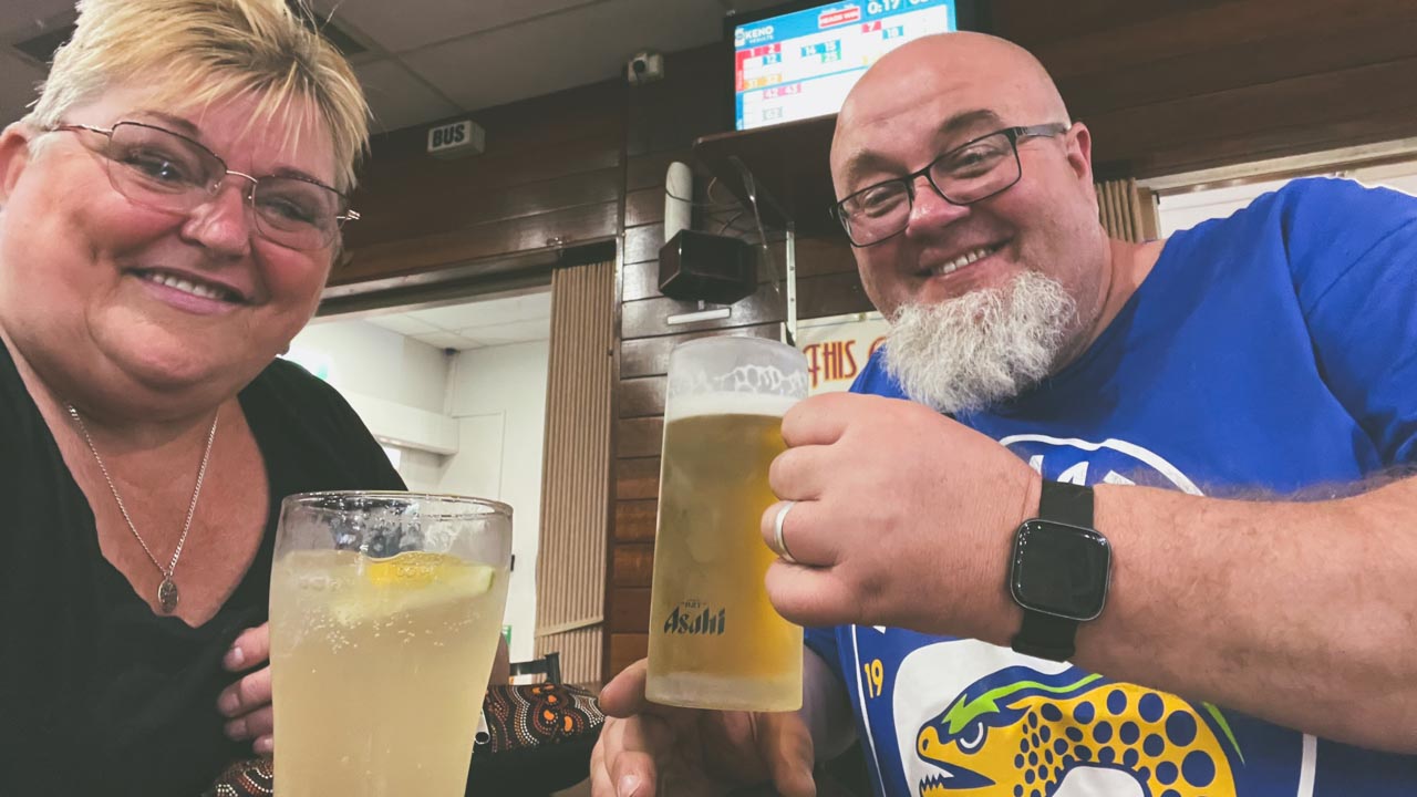
We ate dinner at the RSL club one night and had awesome steaks. The atmosphere was friendly at all times. There were lots of people from out of town having dinner there as well as loads of locals. It was just like any RSL we have visited and we’ve visited at least a hundred of them over the years.

Tennant Creek RSL Beers And Ginger Beer

Tennant Creek RSL Beers And Ginger Beer

Woks Up Chinese Restaurant

On our second night in Tennant Creek we had dinner at the Woks Up Chinese Restaurant. What a great place! The food was excellent, as good as any Chinese I have ever eaten. The restaurant itself is all funky and modern inside – not what I was expecting. The service was quick and friendly and the prices charged were very reasonable. I really wasn’t expecting such a great experience given all of the reviews of Tennant Creek I had read. The answer to the question Is Tennant Creek worth visiting should be a massive yes just because of Woks Up on it’s own.

Lining Up For A Carton Of Beer

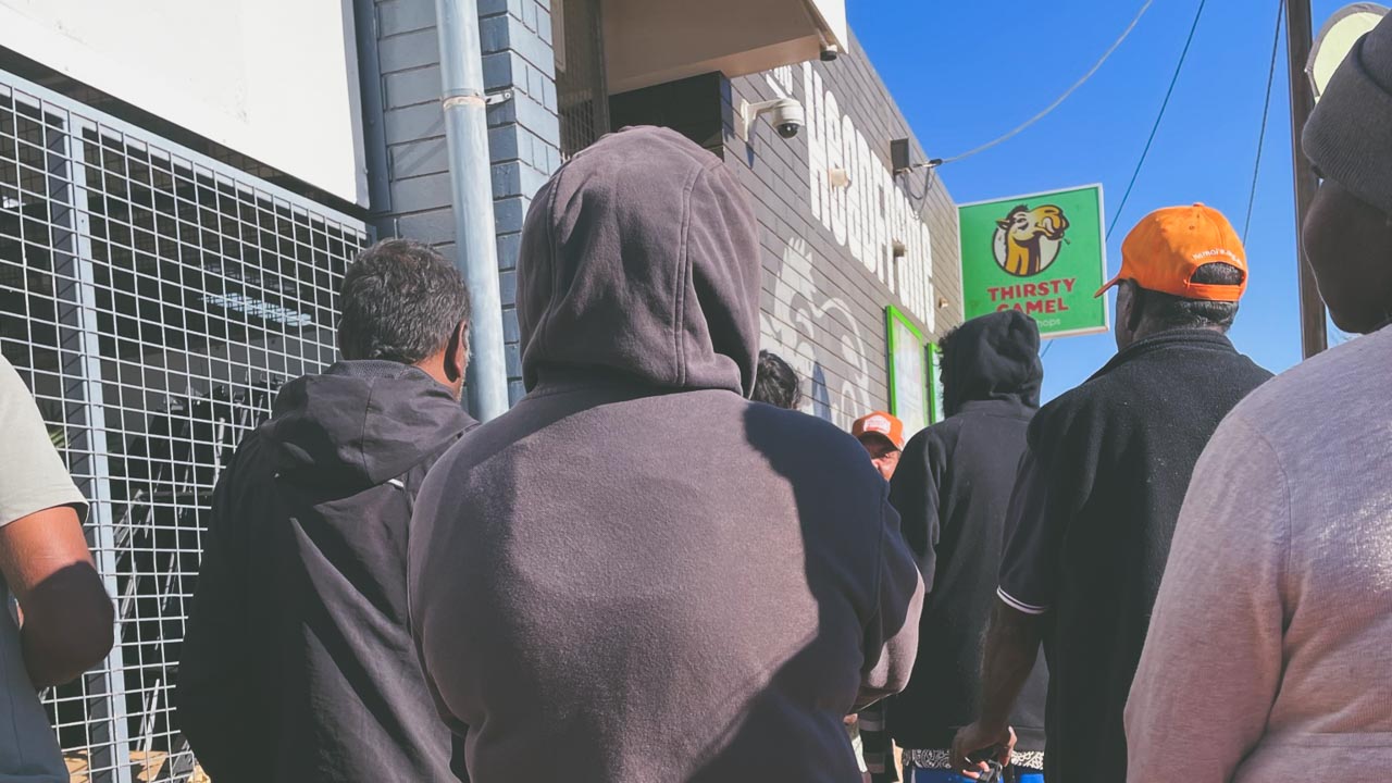
Alcohol is only sold at bottle shops between given hours – from memory it is between 04.00pm and 07.00pm. Don’t quote me on the hours but it’s something like that. On the afternoon we arrived in Tennant Creek we were confused and amused to see people lining up to get in to the towns bottle shops. So of course we had to give it a go! The lines were orderly and everyone was well behaved and friendly. We had a great chat and some friendly banter with a lot of the people lined up around us. The line moved quickly, we got in to the bottle shop and made our purchase. And surprise surprise the prices were no different to what you’d find in Western Sydney.

Tennant Creek NT Lining Up Outside The Bottle Shop

Tennant Creek NT Lining Up Outside The Bottle Shop

Tennant Creek Telegraph Station

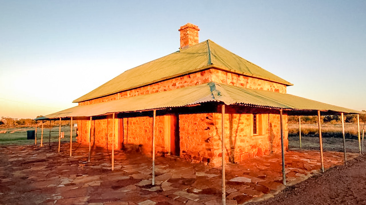
We visited Tennant Creek Telegraph Station and it was a great experience. A few days previous we visited the Alice Springs Telegraph Station and we were interested in a comparison between the two.

Tennant Creek Telegraph Station

Tennant Creek Telegraph Station

Battery Hill Underground Mine Tour At Tennant Creek

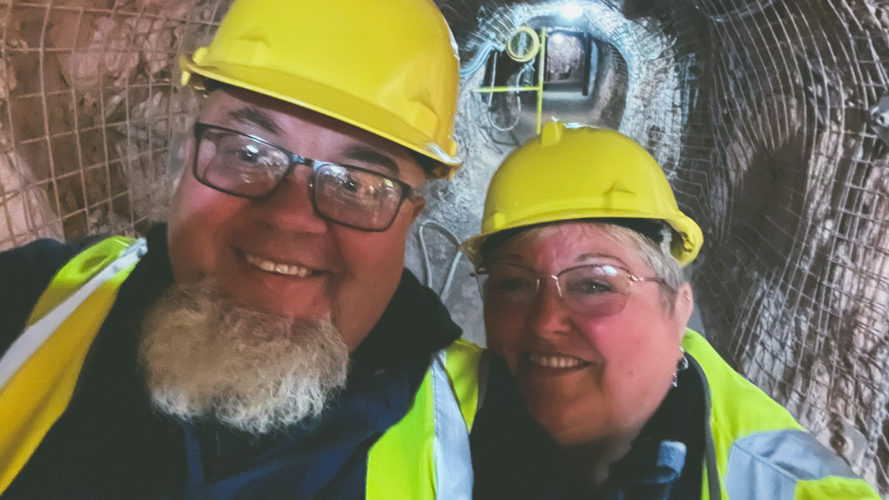
We visited Battery Hill and went on the Battery Hill Underground Mine Tour At Tennant Creek. It was both educational and interesting. It’s the first time we have been down a gold mine. We have been down about a dozen opal mines and a few silver mines but never a gold mine.

Battery Hill Underground Mine Tour At Tennant Creek

Battery Hill Underground Mine Tour At Tennant Creek

Tennant Creek Caravan Park

We stayed at the Tennant Creek Caravan Park at the northern end of town and the facilities were great. The park was fully fenced with a sliding gate to control access in and out after 6.00pm. Pricing was excellent. We paid $38 a night for a powered site. The sites were all generous in side. The showers and toilet blocks were clean and spacious. I’d recommend staying here if you are in town.

They have a range of accommodation options available.

  • Powered sites
  • Unpowered sites
  • Camping sites
  • Cabins.

Some of their additional facilities include,

  • Camp kitchen with fridge
  • Shaded swimming pool
  • Coin operated laundry
  • Pet friendly
  • Gas refills
  • BBQs

So Is Tennant Creek Worth Visiting?

Is Tennant Creek worth visiting? Absolutely it is. It’s a great place with loads of different things to experience. We felt safe at all times while we were there and had loads of great interactions with the locals. Be sensible. Lock your stuff up at night. Talk to people. And above all else go and visit and find out for yourself – don’t just take the word of people who’s cousins neighbour knew a bloke from work who had a bad experience there!

Disused Grain Silos Buddigower NSW

Disused Grain Silos Buddigower NSW

Disused Grain Silos Buddigower NSW

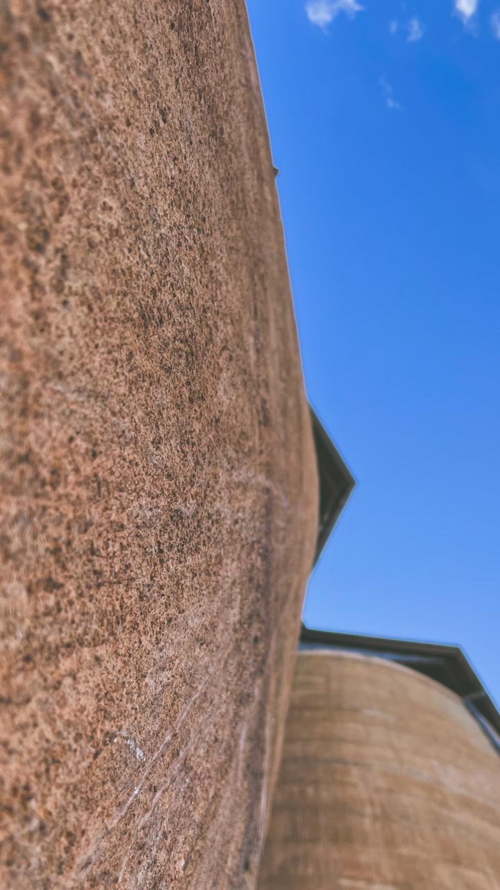
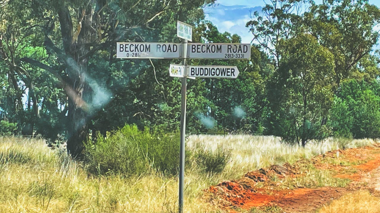
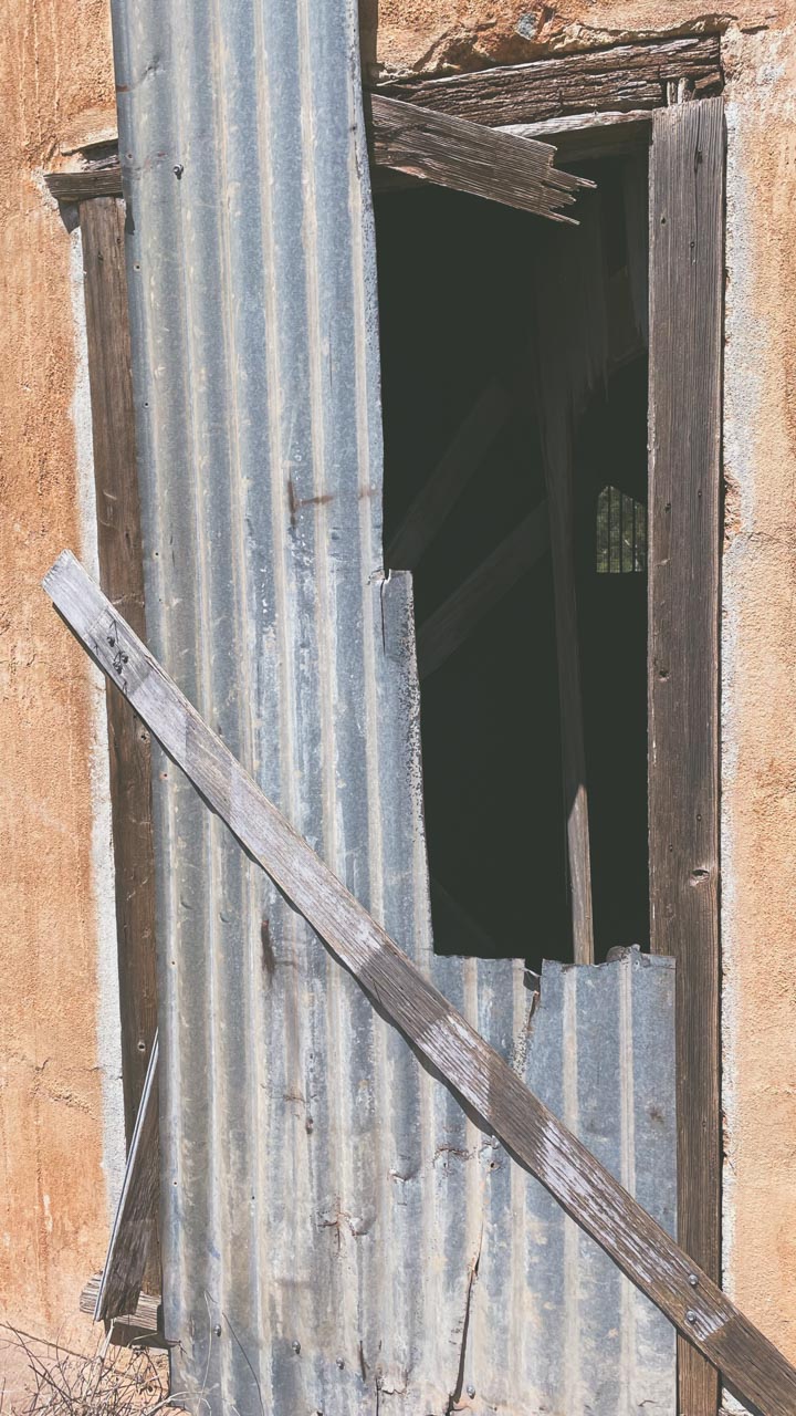
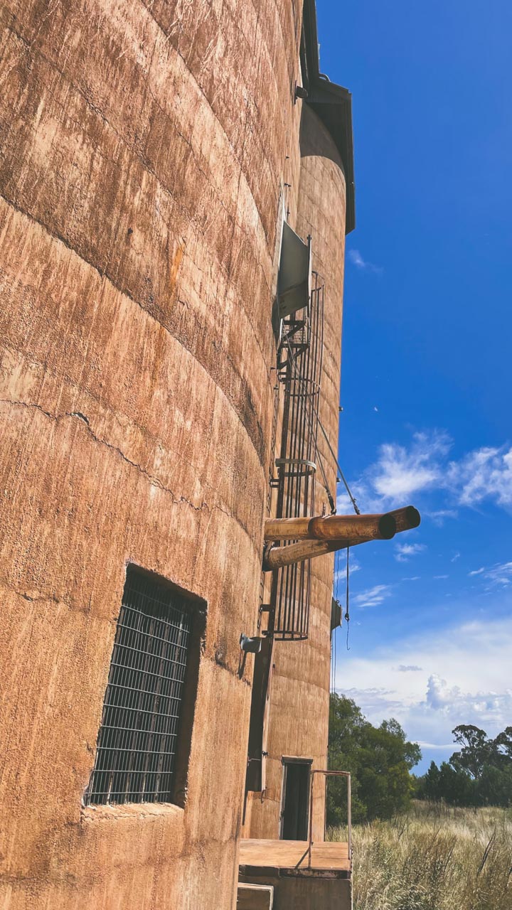
Disused grain silos Australia is a really interesting subject and a favourite of mine. I had a look through the now disused grain silo at Buddigower in March 2022.

The now disused grain silos at Buddigower were in almost constant use up until 2002. They are now in a fairly overgrown state having closed over 20 years ago. There isn’t very much left of the once thriving village of Buddigower NSW Riverina except for the grain silos and some footings in the old village precinct.

Disused Grain Silos At Buddigower NSW

Disused Grain Silos At Buddigower NSW

Grain Silos Australia – Why Do we have Them?

An Australian Wheat Board was formed under the War Precautions Act 1914. After formation of the Australian Wheat Board (AWB) the federal government began building grain silos across the wheat-producing regions. A concrete silo type S041 [4100 tonnes capacity] was built at Buddigower in 1928 on the Barmedman to Rankins Springs railway line.

Buddigower Grain Silo Weighbridge

Buddigower Grain Silo Weighbridge

The Grain Silo Weighbridge At Buddigower

The grain silo weighbridge at Buddigower appears to be fully intact. With a clean-up and a service I think it would be ready to use. The scale section of the weighbridge is clearly marked as having been made by Asco and it has a label on it with the last calibration date of the 6th of July 2000.

Weighbridge Scales At Abandoned Buddigower Silos

Weighbridge Scales At Abandoned Buddigower Silos

About Buddigower

The village of Buddigower was first surveyed in 1922 by Councillor Holland and declared before Mr H.R Helyar JP at West Wyalong in 1925. The lease of “Buddigower Run” was first gazetted on September 29, 1862 and was held by William Marshall. The native name means “Smoke in a hollow tree”.

Buddigower Information Board

Buddigower Information Board

At it’s peak Buddigower village consisted of the following buildings,

  • Rail workers cottages
  • Shop and Post Office
  • School teachers residence
  • Boarding house
  • Public hall
  • Tennis courts
  • Public school
  • Train passenger platform
  • Train goods platform
  • Silos and sample stand

Important Events Of Buddigower Village

  • Rail Siding: Opened January 8, 1923 and closed July 19, 1975
  • Buddigower School: Opened 1923 and closed 1972
  • Telephone Exchange: Opened 1925
  • Buddigower Post Office (un-official): Opened 1926 and closed 1966
  • Buddigower Silos: Erected 1928 opened December 1929 and closed 2002
  • Public Hall: Built 1923

Buddigower Nature Reserve

Buddigower Nature Reserve was created in November 1963. It covers an area of 327ha. Grey box, mugga iron bark and white cypress are found growing on lower slopes. Areas of blue mallee, bull mallee, green mallee and congoo mallee are found on low gravelly ridges. The reserve provides typical habitat for the endangered malleefowl, shy heathwren and southern scrub robin. Buddigower Nature Reserve is designed to protect mallee and woodland habitat by minimising disturbance and visitation.

Grain Silos Australia Gallery – Buddigower

Pin It on Pinterest