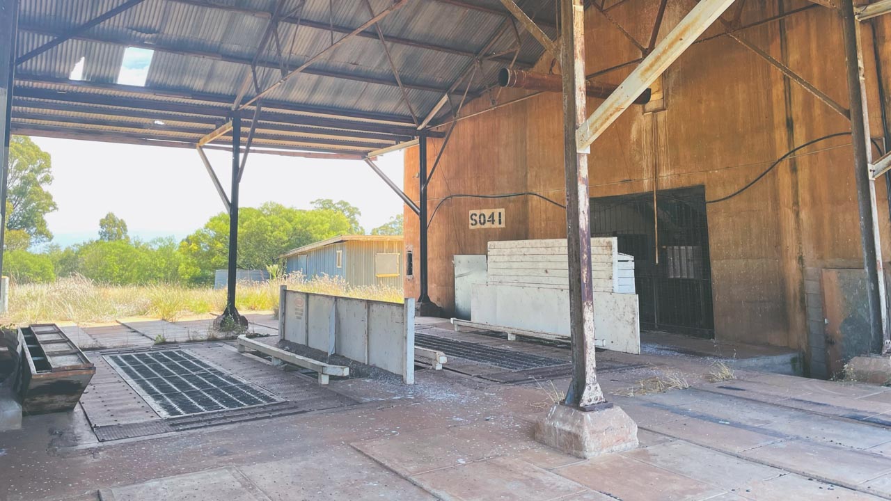
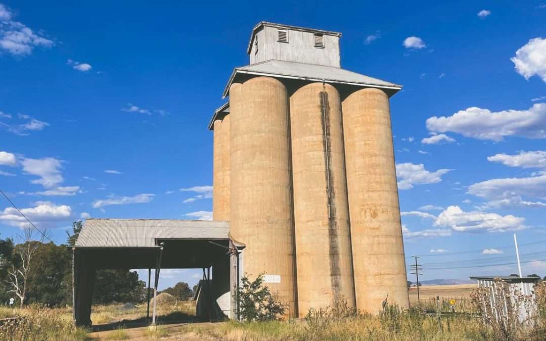
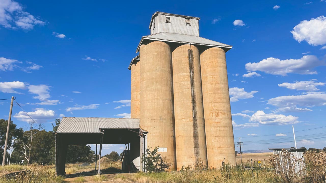
25 Best FREE Murray River Camping Spots (Map + Access 2026)
25 Best FREE Murray River Camping Spots (Map + Access 2026)
✔ 25 free camps
✔ VIC, NSW & SA locations
✔ 2WD + caravan friendly options
Discover 25 tested Murray River camping spots from many years exploring the Murrays free camps. Pet friendly sites with detailed access info.
We’ve personally camped at multiple locations along the Murray River over several trips, experiencing everything from peak holiday crowds to quiet off-season stays. This guide is based on real travel experience, not just research.
Table Of Contents
- Murray River Camping Map – Map Of 25 Free Camps Along The Murray River
- 1. The Police Paddocks Camping (Rutherglen)
- 2. Trues Beach Camping (Yarrawonga)
- 3. Doolans Bend Camping (Howlong)
- 4. Big Naughtons Camp 1 (Bundalong)
- 5. Yarrawonga River Camp
- 6. Forges Beach No. 1 Camping
- 7. Finley Beach Camping (Tocumwal)
- 8. Gulf Camping Ground (Barmah National Park)
- 9. Meat Ant Beach Camping
- 10 Benarca Camping Area (Moama)
- 11. Vals Landing Camping
- 12. Cockatoo Point Camping
- 13. Passage Camp (Boundary Bend)
- 14. Tocumwal Town Beach Camping
- 15. Nyah-Vinifera Park Camping (Tooleybuc)
- 16. Ecc Yarrawonga Camping
- 17. Merbein Common Camping
- 18. Happy Valley Landing (Robinvale)
- 19. Bottle Bend Conservation Reserve
- 20. Caurnamont Boat Ramp Camping
- 21. Wongulla Campground
- 22. Big Bend Camping
- 23. Farley Bend Site 6 (Moama)
- 24. Kyffins Reserve Camping
- 25. Paddy’s Beach Camping
- Quick Comparison Table
- Pet-Friendly Murray River Camping
- 2WD Accessible Murray River Camps
- Best Time to Go Murray River Camping
- Summary – Free Camps Along The Murray River
- Frequently Asked Questions About Murray River Camping
- Is camping free along the Murray River?
- Can you camp anywhere on the Murray River?
- Do you need a permit to camp on the Murray River?
- Are there toilets at Murray River camping spots?
- Is the Murray River suitable for caravan camping?
- Are dogs allowed at Murray River campsites?
- What is the best time of year to camp along the Murray River?
- Do you need a 4WD for Murray River camping?
- Are campfires allowed along the Murray River?
- Is there mobile reception along the Murray River?
Murray River Camping Map – Map Of 25 Free Camps Along The Murray River
To make planning easier we recommend mapping out your route before heading off. Most camps are spread along remote stretches of the river and mobile reception can be limited.
1. The Police Paddocks Camping (Rutherglen)
Read Our Police Paddocks Conservation Reserve Full Blog Post
Location: Near Rutherglen, Victoria
Latitude: -35.980250
Longitude: 146.505096
Cost: Free
Access: 2WD & 4WD year-round
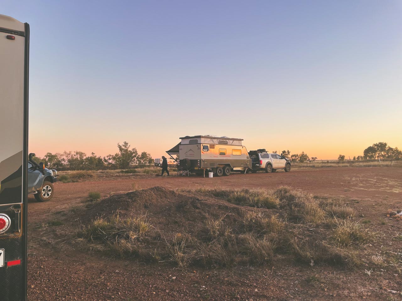
After decades of exploring Australia’s free camping network, The Police Paddocks Campsite along Murphys Creek near Rutherglen remains one of our most recommended stops in Victoria’s northeast. This sprawling riverside site consistently delivers what many promise but fail to provide – genuine space.
Facilities:
- No facilities (self-sufficient camping)
Pros:
- Large open camping area
- Easy access year-round
- Good mobile reception
Cons:
- No toilets or water
- Fully self-contained required

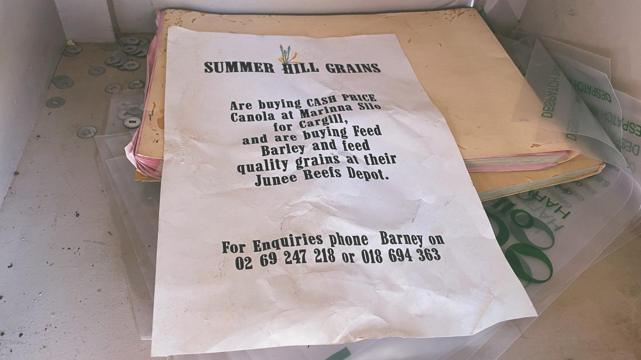
Murray River Free Camping Berri SA
2. Trues Beach Camping (Yarrawonga)
Location: Near Yarrawonga, Victoria
Latitude: -35.955155
Longitude: 145.909689
Cost: Free
Access: 2WD (dry) / after rain
Trues Beach is a peaceful riverside campsite located in the River Murray Reserve. It’s a grassy area right on the riverbank, ideal for swimming, kayaking, and relaxing.
Facilities:
- No facilities
Pros:
- Direct river access
- Suitable for caravans and campers
- Pet friendly
Cons:
- No toilets
- Access difficult after rain
3. Doolans Bend Camping (Howlong)
Location: Near Howlong, Victoria
Latitude: -36.023015
Longitude: 146.654183
Cost: Free
Access: 2WD
Doolans Bend offers quiet bush camping along the Murray River, ideal for those wanting a more natural and less crowded experience.
Facilities:
- No facilities
Pros:
- Peaceful setting
- Great for kayaking and swimming
Cons:
- Fully self-sufficient required
- Falling branches possible
4. Big Naughtons Camp 1 (Bundalong)
Location: Near Bundalong, Victoria
Latitude: -36.048345
Longitude: 146.197474
Cost: Free
Access: 2WD
Located beside the Ovens River, this is a popular bush camping area within the Lower Ovens Wildlife Reserve.
Facilities:
- No facilities
Pros:
- Scenic riverside location
- Campfires permitted (conditions apply)
Cons:
- No toilets
- Limited mobile reception
5. Yarrawonga River Camp
Location: Yarrawonga, Victoria
Latitude: -36.012088
Longitude: 145.980935
Cost: Free
Access: 2WD
A well-known camping area in Yarrawonga Regional Park, offering sandy beaches and river access.
Facilities:
- Pit toilets (approx. 300m away)
Pros:
- Scenic river bends
- Close to town
- Good facilities nearby
Cons:
- Can get busy
- Tree hazards
6. Forges Beach No. 1 Camping
Location: Near Yarrawonga, Victoria
Latitude: -35.996172
Longitude: 145.963423
Cost: Free
Access: 2WD
A riverside campsite within Yarrawonga Regional Park offering basic facilities and good access.
Facilities:
- Long-drop toilets
Pros:
- Easy access
- Good facilities
- Pet friendly
Cons:
- Security concerns reported
- Can get crowded
7. Finley Beach Camping (Tocumwal)
Location: Near Tocumwal, Victoria
Latitude: -35.822046
Longitude: 145.559320
Cost: Free
Access: 2WD
A popular Murray River campsite featuring a sandy beach and good facilities.
Facilities:
- Toilets
Pros:
- Great swimming spot
- Family-friendly
- Good access
Cons:
- No pets allowed
8. Gulf Camping Ground (Barmah National Park)
Location: Barmah National Park, Victoria
Latitude: -35.843087 (corrected likely typo)
Longitude: 145.151882
Cost: Free
Access: 4WD recommended
Remote bush camping in Barmah National Park, ideal for experienced campers.
Facilities:
- None
Pros:
- Remote and quiet
- Great wildlife
Cons:
- No dogs
- No facilities
9. Meat Ant Beach Camping
Location: Near Maloga Park, Victoria
Latitude: -36.079733
Longitude: 144.960117
Cost: Free
Access: 2WD
A relaxed riverside camping spot with multiple open areas.
Facilities:
- None
Pros:
- Easy access
- Good for kayaking
Cons:
- No facilities
- Limited shade
10 Benarca Camping Area (Moama)
Location: Near Moama, Victoria
Latitude: -36.071431
Longitude: 144.612352
Cost: Free
Access: 2WD (dry)
A popular bush camping area within Murray Valley Regional Park.
Facilities:
- None
Pros:
- Close to Moama
- Great river views
- Pet friendly
Cons:
- Muddy after rain
11. Vals Landing Camping
Location: Near Gunbower, Victoria
Latitude: -35.936290
Longitude: 144.450349
Cost: Free
Access: 2WD
A basic riverside bush camp suited to self-sufficient campers.
Facilities:
- None
Pros:
- Quiet location
- Fishing opportunities
Cons:
- No facilities
- Falling branch risk
12. Cockatoo Point Camping
Location: Gunbower State Forest, Victoria
Latitude: -35.728280
Longitude: 144.247439
Cost: Free
Access: 4WD recommended
Remote camping area with limited access and no facilities.
Facilities:
- None
Pros:
- Secluded
- Great for experienced campers
Cons:
- No dogs
- Difficult access
13. Passage Camp (Boundary Bend)
Location: Near Boundary Bend, Victoria
Latitude: -34.717065
Longitude: 143.197826
Cost: Free
Access: 4WD / off-road caravans
Basic bush camping suitable for self-contained setups.
Facilities:
- None
Pros:
- Quiet and remote
- Pet friendly
Cons:
- No facilities
- 4WD access preferred
14. Tocumwal Town Beach Camping
Location: Tocumwal, Victoria
Latitude: -35.817838
Longitude: 145.560236
Cost: Free
Access: 2WD
One of the best-equipped free camps along the Murray River.
Facilities:
- Toilets
- Showers
- Dump point
- Drinking water
Pros:
- Close to town
- Great facilities
- Family-friendly
Cons:
- Can get busy
15. Nyah-Vinifera Park Camping (Tooleybuc)
Location: Near Tooleybuc, Victoria
Latitude: -35.165859
Longitude: 143.384526
Cost: Free
Access: 2WD
A quiet dispersed camping area with good river access.
Facilities:
- None
Pros:
- Great fishing
- Quiet
Cons:
- No dogs
- No facilities
16. Ecc Yarrawonga Camping
Location: Near Yarrawonga, Victoria
Latitude: -36.005563
Longitude: 145.969649
Cost: Free
Access: 2WD
A quiet bush camping area along the Murray River.
Facilities:
- None
Pros:
- Peaceful
- Pet friendly
Cons:
- No toilets
17. Merbein Common Camping
Location: Near Merbein, Victoria
Latitude: -34.159437
Longitude: 142.078067
Cost: Free
Access: 2WD (dry)
Large riverside camping area popular with caravanners.
Facilities:
- None
Pros:
- Huge space
- Close to Mildura
Cons:
- Clay becomes boggy

Merbein Common VIC Murray River Free Camping
18. Happy Valley Landing (Robinvale)
Read Our Happy Valley Landing Full Blog Post
Location: Near Robinvale, Victoria
Latitude: -34.675487
Longitude: 142.695464
Cost: Free
Access: 2WD
Free camping near Robinvale at Happy Valley Landing on the Murray River. It’s a nice, quiet secluded spot. I found it on WikiCamps not that far from Robinvale VIC.
Facilities:
- None
Pros:
- Good swimming
- Large area
Cons:
- No dogs
- No facilities

Murray River Free Camping Happy Valley Landing Robinvale VIC
19. Bottle Bend Conservation Reserve
Read Our Bottle Bend Conservation Reserve Full Blog Post
Location: Bottle Bend Road, Monak NSW
Latitude: -34.2921037
Longitude: 142.2950610
Cost: Free
Access: 4WD
Camping At Bottle Bend Conservation Reserve Picnic Area is ideal for those seeking a quiet and scenic camping experience. Located a short drive from the Sturt Highway near Buronga, this conservation area is a slice of serenity. Surrounded by native bushland and the iconic Murray River, the area is a haven for nature lovers.
Murray River Free Camping Overnight At Bottle Bend Conservation Reserve
Facilities:
- None nearby
Pros:
- River Access
- Scenic
- Pets
Cons:
- Can get busy over holiday periods
- No facilities
20. Caurnamont Boat Ramp Camping
Location: Near Purnong, South Australia
Latitude: -34.841582
Longitude: 139.586506
Cost: Free
Access: 2WD
Well-equipped riverside campground.
Facilities:
- Toilets
- BBQ
- Shelter
Pros:
- Great facilities
- Easy access
Cons:
- Less secluded
21. Wongulla Campground
Location: Near Mobrae Park, South Australia
Latitude: -34.700918
Longitude: 139.575717
Cost: Donation
Access: 2WD (dry)
Large open campground suitable for all setups.
Facilities:
- Bins
Pros:
- Large area
- River access
Cons:
- No toilets onsite
22. Big Bend Camping
Location: Near Tobra, South Australia
Latitude: -34.636382
Longitude: 139.613937
Cost: Free
Access: 2WD
Spacious riverside camping area.
Facilities:
- Basic
Pros:
- Good for caravans
- Swimming
Cons:
- Limited facilities
23. Farley Bend Site 6 (Moama)
Location: Near Moama, NSW
Latitude: -36.033722
Longitude: 144.615196
Cost: Free
Access: 2WD
A quiet bush camping spot along the river.
Facilities:
- None
Pros:
- Peaceful
- Fishing
Cons:
- No toilets
24. Kyffins Reserve Camping
Location: Near Mulwala, NSW
Latitude: -35.979576
Longitude: 146.059329
Cost: Free
Access: 2WD
A well-known riverside camping reserve.
Facilities:
- Toilets
Pros:
- Good facilities
- Pet friendly
Cons:
- Time limits apply
25. Paddy’s Beach Camping
Location: Near Boomanoomana, NSW
Latitude: -35.950966
Longitude: 145.913621
Cost: Free
Access: 2WD
A basic riverside camping area suited to self-contained campers.
Facilities:
- None
Pros:
- Quiet
- Good fishing
Cons:
- No facilities

25 Free Camps On The Murray River
Quick Comparison Table
| Name | Location | Facilities – Access – Pets – Cost |
|---|---|---|
| The Police Paddocks | Near Rutherglen, VIC | No facilities, 2WD/4WD pets allowed, Free |
| Trues Beach | Near Yarrawonga, VIC | No facilities, mixed-pets allowed, Free |
| Doolans Bend | Near Howlong, VIC | No facilities (self-sufficient), mix pets on-leash, Free |
| Big Naughtons Camp 1 | Near Bundalong, VIC | No facilities (self-sufficient), access for most, pets yes, Free |
| Yarrawonga River Camp | Near Yarrawonga, VIC | Pit toilets (~300 m away), good pets on-leash, Free |
| Forges Beach No. 1 | Near Yarrawonga, VIC | Long-drop toilets, pets allowed (likely on-leash), Free |
| Finley Beach on Murray | Near Tocumwal, VIC | Toilets, good pets not allowed, Free |
| Gulf Camping Ground (Barmah NP) | Barmah NP, VIC | No facilities (self-sufficient), pets not allowed, Free |
| Meat Ant Beach | Near Maloga Park, VIC | No facilities, pets yes, Free |
| Benarca Beach Camp Site | Near Moama, VIC | No facilities, pets yes, Free |
| Vals Landing | Near Gunbower, VIC | Free |
| Cockatoo Point | Gunbower SF, VIC | Free |
| Passage Camp | Near Boundary Bend, VIC | Free |
| Tocumwal Town Beach | Near Tocumwal, VIC | Free |
| Nyah-Vinifera Park | Near Tooleybuc, VIC | Free |
| Ecc Yarrawonga | Near Yarrawonga, VIC | Free |
| Merbein Common | Near Merbein, VIC | Very large, tracks Free |
| Happy Valley Landing | Near Robinvale, VIC | Free |
| Murray River NP – Katarapko Site 32 | Near Loxton North, SA | Free |
| Caurnamont Boat Ramp | Near Purnong, SA | Free |
| Wongulla Camp Ground | Near Mobrae Park, SA | Free |
| Big Bend | Near Tobra, SA | Free |
| Farley Bend Site 6 | Near Moama, NSW | Free |
| Kyffins Reserve | Near Mulwala, NSW | Free |
| Paddy’s Beach | Near Boomanoomana, NSW | Free |
Pet-Friendly Murray River Camping
Most free camps along the Murray River allow dogs, but always check signage and local regulations. National parks and conservation areas may have restrictions.
2WD Accessible Murray River Camps
While many Murray River camps are accessible by 2WD vehicles, some require 4WD—especially after rain. Always check track conditions before travelling.
Best Time to Go Murray River Camping
The best time for Murray River camping is typically autumn and spring when temperatures are mild and river conditions are more stable. Summer can be extremely hot, while winter may bring flooding in some areas.
Summary – Free Camps Along The Murray River
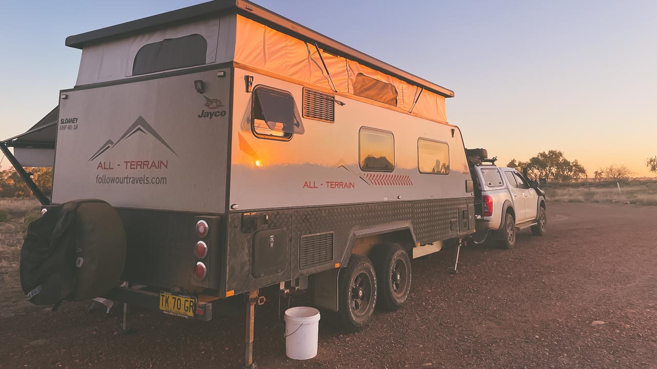
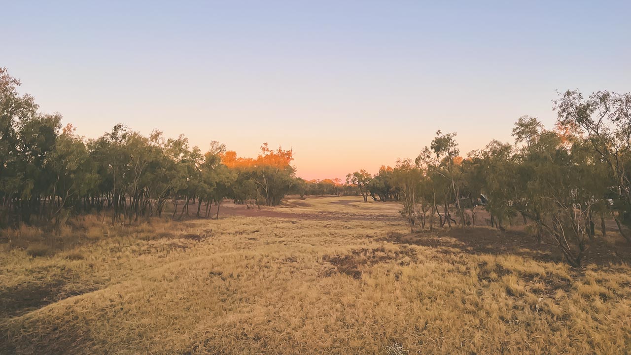
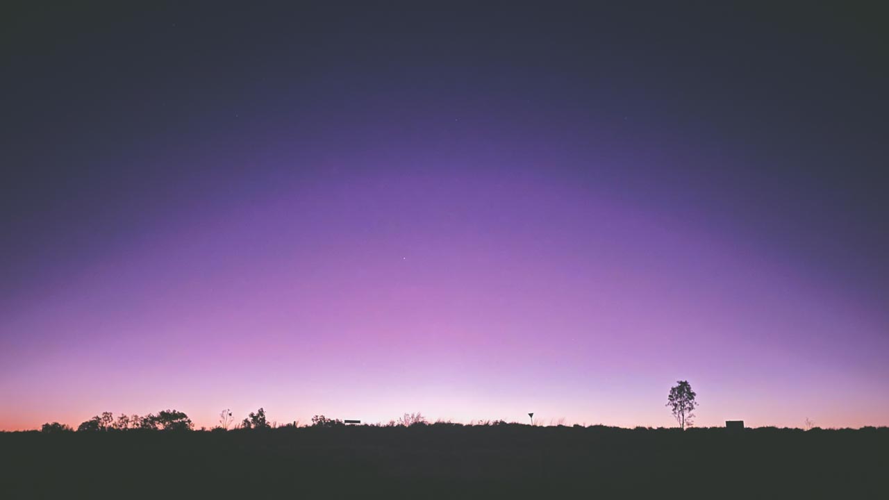
Having spent many years camping on Australia’s river systems I can confidently say Murray River camping offers some of the Australia’s most rewarding free camping experiences. This comprehensive guide covers 25 well respected sites including many that we have personally visited with sites spanning Victoria, New South Wales and South Australia. From basic bush camps perfect for getting away from crowds, to spots with toilets and boat ramps that suit families with young kids. Each location has been tested multiple times during different seasons, so you’ll get honest assessments about access roads after rain, mobile coverage realities and which sites actually deliver on their promises of free camping along Australia’s most famous waterway.
We’ve camped at many of these spots over the years and honestly the Murray delivers every time. Sometimes you’ll have the river to yourself particularly during the cooler months. The variety of different campsites is what makes it so awesome. Some places you’re camped up on a sandy beach perfect for chucking the line in, next time you’re tucked away in the bush. Just remember that the clay soil can become a nightmare when it’s wet so check the weather before you commit to driving in anywhere.
The thing that keeps these places working is that most people who use them actually give a damn. Sure, you get the occasional idiot who leaves their rubbish behind but generally the camping community polices itself pretty well. Pack everything in, pack everything out – it’s not rocket science. We’ve found some absolute ripper spots along the river that aren’t on this list – discovered by following dusty tracks that looked promising. Sometimes the best camps are the ones you stumble across yourself.
Frequently Asked Questions About Murray River Camping
Is camping free along the Murray River?
Can you camp anywhere on the Murray River?
Do you need a permit to camp on the Murray River?
Are there toilets at Murray River camping spots?
Is the Murray River suitable for caravan camping?
Are dogs allowed at Murray River campsites?
What is the best time of year to camp along the Murray River?
Do you need a 4WD for Murray River camping?
Are campfires allowed along the Murray River?
Is there mobile reception along the Murray River?