Disused Grain Silos Australia – Marinna

Disused Grain Silos Australia – Marinna

Disused Grain Silos Australia – Marinna

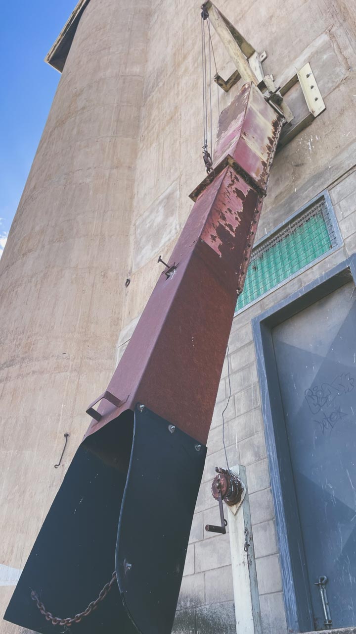
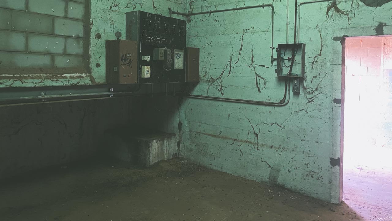
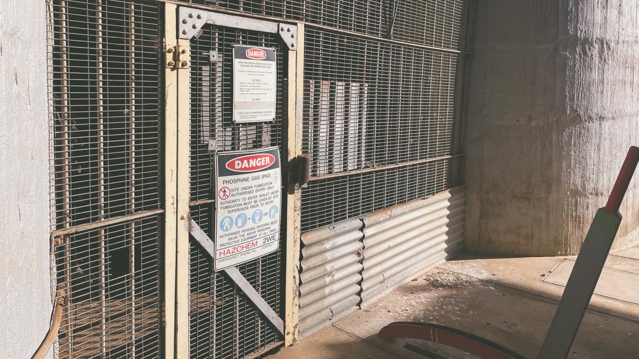
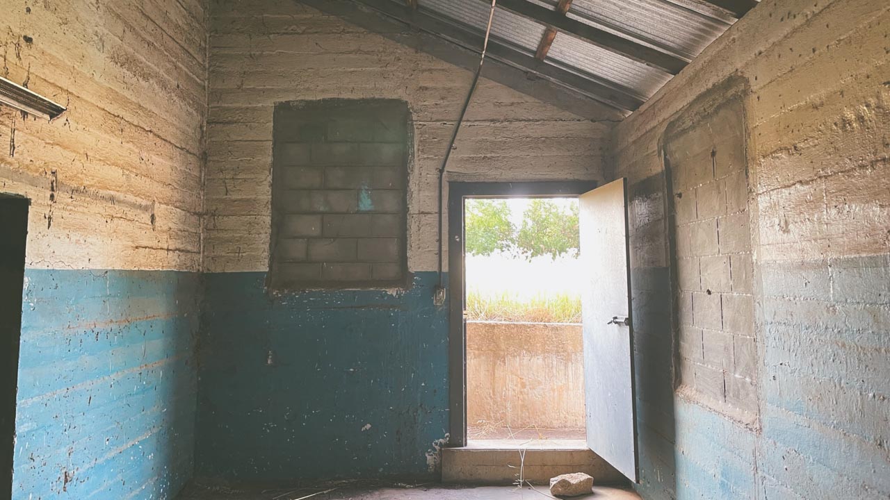
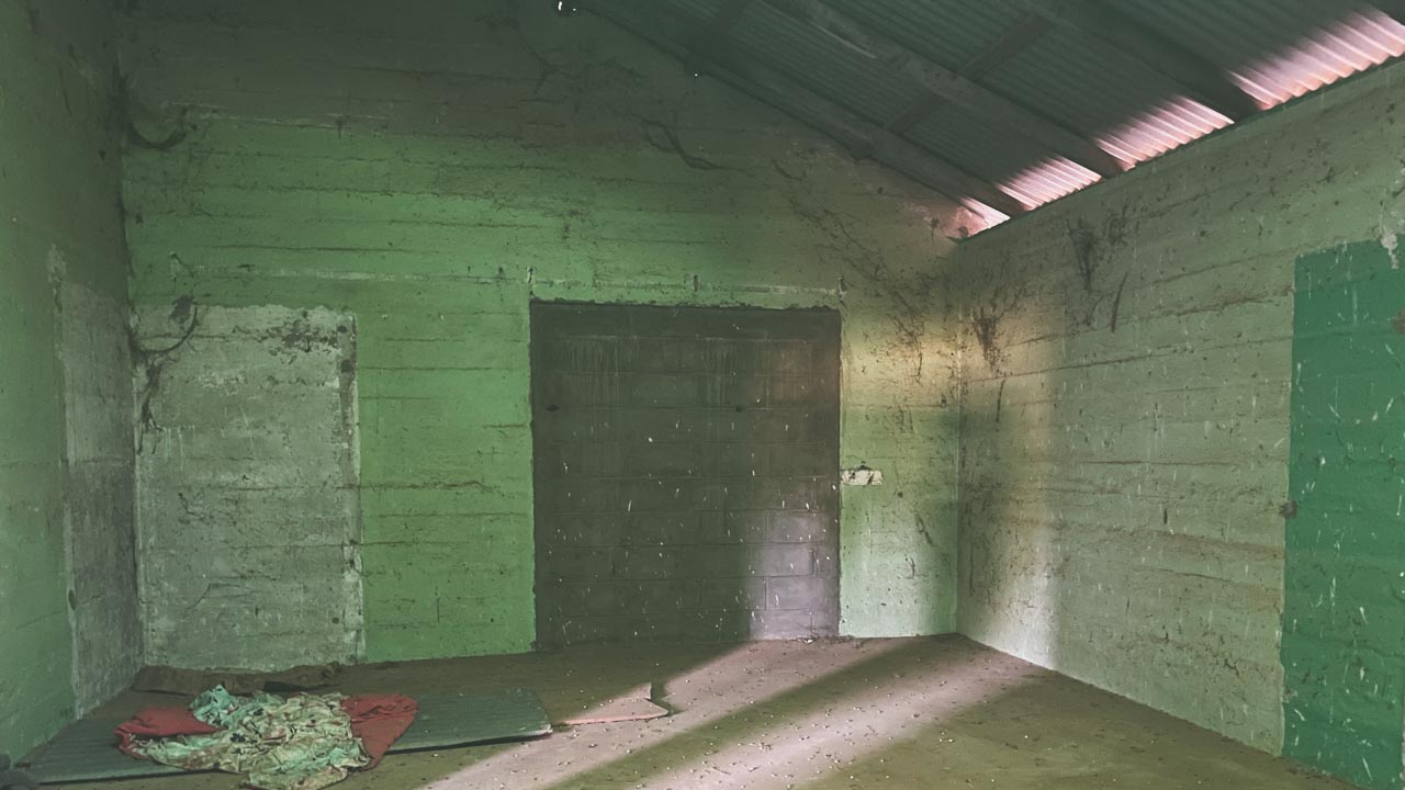
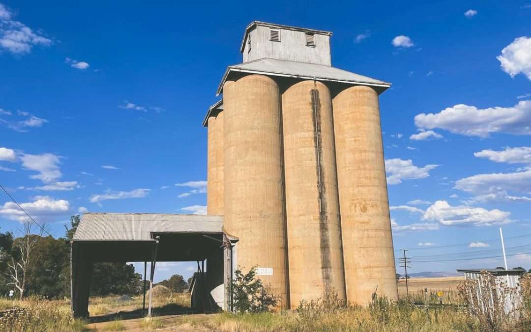
Disused grain silos Australia is a really interesting subject and a favourite of mine. I had a look through the now disused grain silo at Marinna in February 2023.

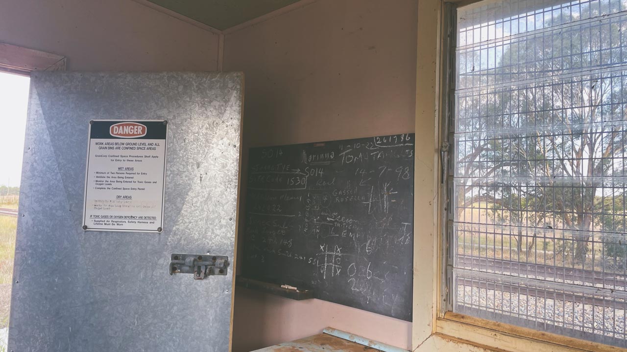
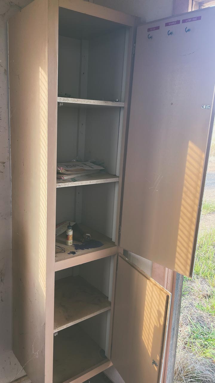
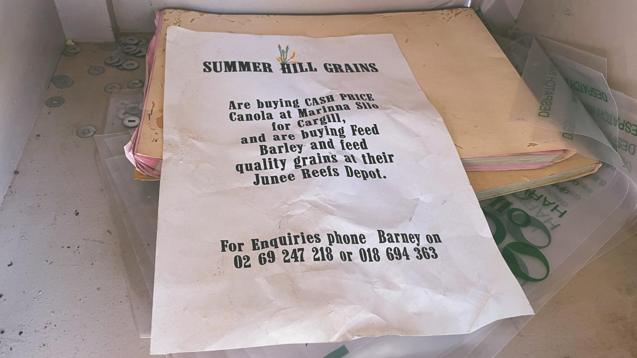
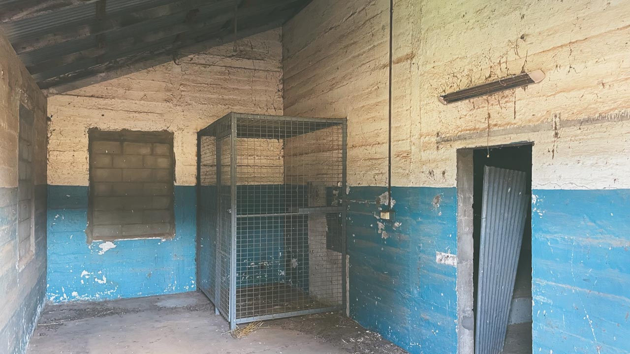
On the wall inside the weighbridge hut there was a blackboard that still had writing on it. There were dates marked on the blackboard that indicated the last time grain was received at the Marinna grain silos was in 1998. There was also an old “Yellow Pages” telephone book inside the weighbridge hut with the year 1991 on the cover.

Blackboard Inside Weighbridge Hut At Marinna NSW Grain Silos Australia

Blackboard Inside Weighbridge Hut At Marinna NSW Grain Silos Australia

Grain Silos Australia – Why Do we have Them?

An Australian Wheat Board was formed under the War Precautions Act 1914. After formation of the Australian Wheat Board (AWB) the federal government began building grain silos across the wheat-producing regions. A concrete silo type S014 Metcalf [1400 tonnes capacity] was built at Marinna in 1925 on the Main South railway line.
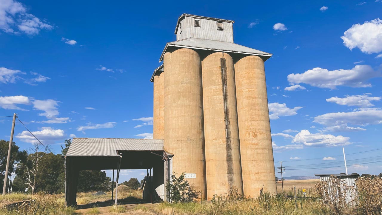
Disused Grain Silos Australia Marinna NSW

Disused Grain Silos Australia Marinna NSW

The Grain Silo Weighbridge At Marinna

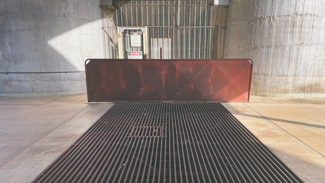
The grain silo weighbridge at Marinna appears to be fully intact. I’m no expert on old weighbridges but this one looks as if with a bit of a clean-up and a service it’d be good to go. It has a maximum weight capacity of only 20 tonnes which is low by todays standards but it would have been plenty big enough back in 1925 when I am guessing it was installed at Marinna grain silos. Trucks by the later part of the twentieth century were a lot heavier than in 1925 so I am guessing they must have weighed the individual axle groups for the heavier, more modern trucks then in use.
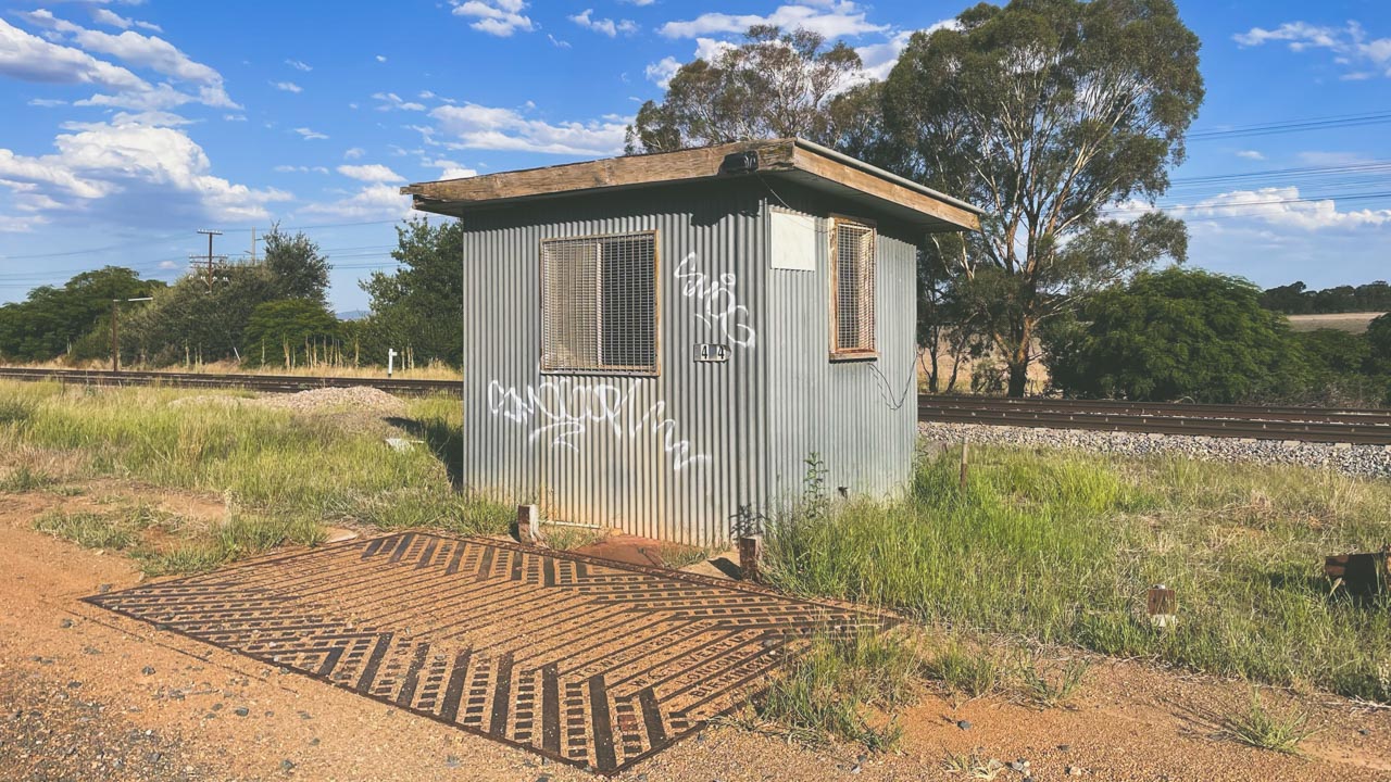
Grain Silos Australia Weighbridge At Marinna NSW

Grain Silos Australia Weighbridge At Marinna NSW

The platform of the weighbridge is clearly marked as having been made by W&T Avery LD London & Birmingham. The inside part of the grain silo weighbridge scales is similarly marked AVERY B’HAM. I was really tempted to see if I could remove the padlock on the inside part of the weighbridge scales and roll the ute on to the bridge and check it’s accuracy. I didn’t do it but I was really tempted to.
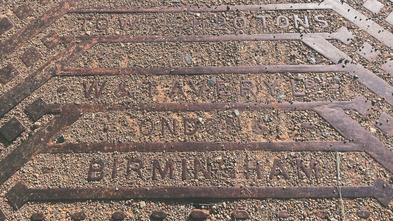
Grain Silo Weighbridge Platform WT Avery LD London Birmingham

Grain Silo Weighbridge Platform WT Avery LD London Birmingham

About Marinna NSW

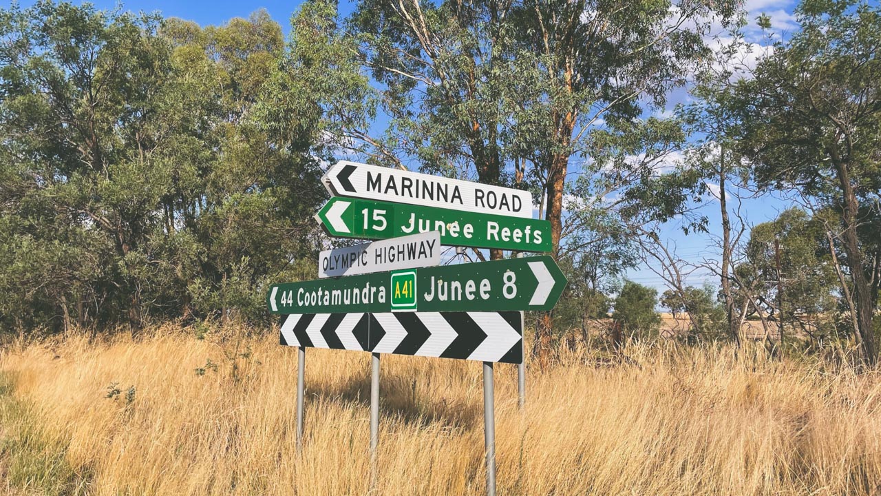
Marinna is a locality in Junee Shire in southern New South Wales, Australia on the Olympic Highway. It’s main feature is a grain silo on the Main Southern railway line. A station was opened in the locality between 1897 and 1975. Marinna Post Office opened on 7 December 1925 and closed in 1968.

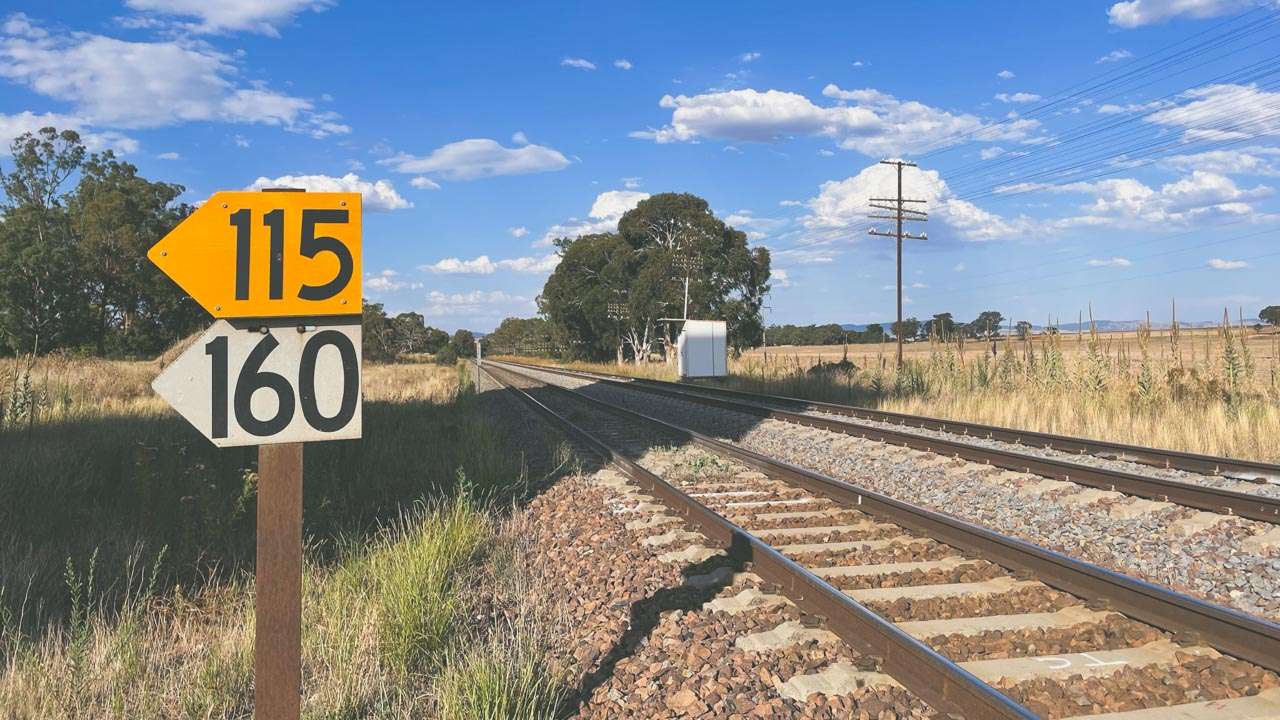
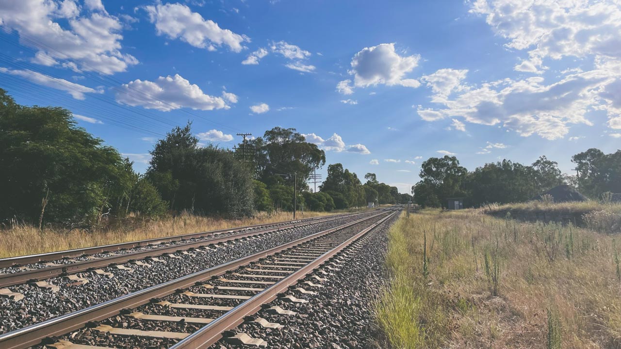
Main Southern Railway Line Marinna NSW

Main Southern Railway Line Marinna NSW

Grain Silos Australia Gallery – Marinna
Bethungra Dam Free Camping – What A Great Place!

Bethungra Dam Free Camping – What A Great Place!

Bethungra Dam Free Camping – What A Great Place!

Bethungra Dam is a great free camp site. Located in the NSW Riverina it has loads of room and basic facilities. We camp there a lot. It’s one of our local go to camping areas. It’s great in dry weather as well as wet weather. There is so much room available there that you are all but guaranteed a spot to set up and enjoy the scenery.

Amanda and I camp here quite often as it’s close to where we live so we know it very well. Bethungra Dam is a great place for free camping near Junee NSW or for free camping near Cootamundra NSW. The campground is large and grassy with very basic facilities. The camping area does not have a lot of shade. If you’re in a camper trailer or caravan levelling blocks will be necessary as most of the camping areas are gently sloped.

As well as picnic tables and barbecue grills, there are rubbish bins and long drop toilets. It is recommended that you bring your own firewood and drinking water.

Bethungra Dam Reserve Free Camping Campfires Allowed

Bethungra Dam Reserve Free Camping Campfires Allowed

Most of the time, the campground is quiet, but during holidays and weekends during warmer weather it gets very busy.

Bethungra dam was originally built for water storage for the town of Junee. Its use was discontinued in 1906 due to water quality problems. Bird life is abundant in this wetland area. It is considered one of Australia’s important wetlands for this reason.

Fishing at Bethungra Dam can be really good. When Redfin and Yellow Belly fishing is in season kayaks or tinnies are a great option for getting to the right spots.

Free Camping Winter Fire

Bethungra Dam Reserve Free Camping Winter Fire

Camping Facilities & Activities At Bethungra Dam Reserve

  • Number of Sites: About 50 some are flat some are not so flat
  • Camping Fees: Free
  • Bookings: Not Applicable
  • Toilets: Longdrop x 4
  • Pets: Yes
  • Drinking Water: Not Available
  • Camp Fires: Fires allowed in provided fire places outside of fire ban times. Check with Junee Council for more information
  • Barbeques: Wood barbeques are available. There are also two gas/electric BBQs up under the new shelter
  • Fishing: Yes
  • Picnic Tables: Yes.
  • Canoeing/Kayaking: The dam is awesome for canoeing and kayaking
  • Access: Accessible by caravans in good weather. 2wd accessible except after a lot of rain
  • Bushwalking: There is a walk to the old Eulolo Homestead nearby that I highly recommend

Dam Wall

Bethungra Dam Wall

About Bethungra

Bethungra is in the Junee Shire in the South West Slopes region of New South Wales. Situated on the Olympic Highway about 13 kilometres northeast of Illabo and 24 kilometres southwest of Cootamundra.

Bethungra History

Bethungra Post Office opened on 1 December 1875. Just to the north of the town lies the Bethungra Spiral. You can access a viewing platform to view the spiral on the road out to the dam. There is an area where you can pull in off the road. It’s a rail spiral on the Main South railway line. It was built to help ease the gradients when the line was duplicated between 1941 and 1946. Bethungra did have its own railway station located in the town between 1878 and the 1980s. The railway station has long since been demolished. In 1885 a major railway accident occurred near Bethungra when a train derailed at a washed away culvert resulting in the death of five people.

Bethungra Dam Reserve Free Camping Dogs Allowed

Bethungra Dam Reserve Free Camping Dogs Allowed

Where Is Bethungra Dam?

Bethungra Dam is near Bethungra in the NSW Riverina district. Bethungra NSW is about 20km South of Cootumundra or about 30km North-East of Junee. From Bethungra turn on to the Bethungra Waterworks Road and follow it to the end (about 4km)

Travel From Distance Time
Adelaide to Bethungra 953km 10:00
Albury to Bethungra 208km 02:14
Brisbane to Bethungra 1186km 13:00
Canberra to Bethungra 197km 02:17
Melbourne to Bethungra 533km 05:26
Sydney to Bethungra 403km 04:08

Location Map

Bethungra Dam Location Map

Bethungra Dam Location Map

Where is Bethungra Dam?

Bethungra Dam is near Bethungra in the NSW Riverina district. Bethungra NSW is about 20km South of Cootumundra or about 30km North-East of Junee. From Bethungra turn on to the Bethungra Waterworks Road and follow it to the end (about 4km).

How many camp sites are there at Bethungra Dam?

About 50 some are flat some are not so flat. The best sites fill up fast on weekends and more so on long weekends. There are about 6 sites available on hard packed gravel down near the water - these sites have fire pits.

Are camp fires allowed at Bethungra Dam?

Camp fires are allowed in provided fire places outside of fire ban times. Check with Junee Council for more information.

Is there any free camping near Junee NSW?

There is an absolutely awesome free camp at Bethungra Dam about 30km from Junee. It has about 50 sites available. There are toilets available.

Is there any free camping near Cootamundra NSW?

There is an absolutely awesome free camp at Bethungra Dam about 20km from Cootamundra. It has about 50 sites available. There are toilets available.

Camooweal Billabong Free Camping

Camooweal Billabong Free Camping

Camooweal Billabong Free Camping

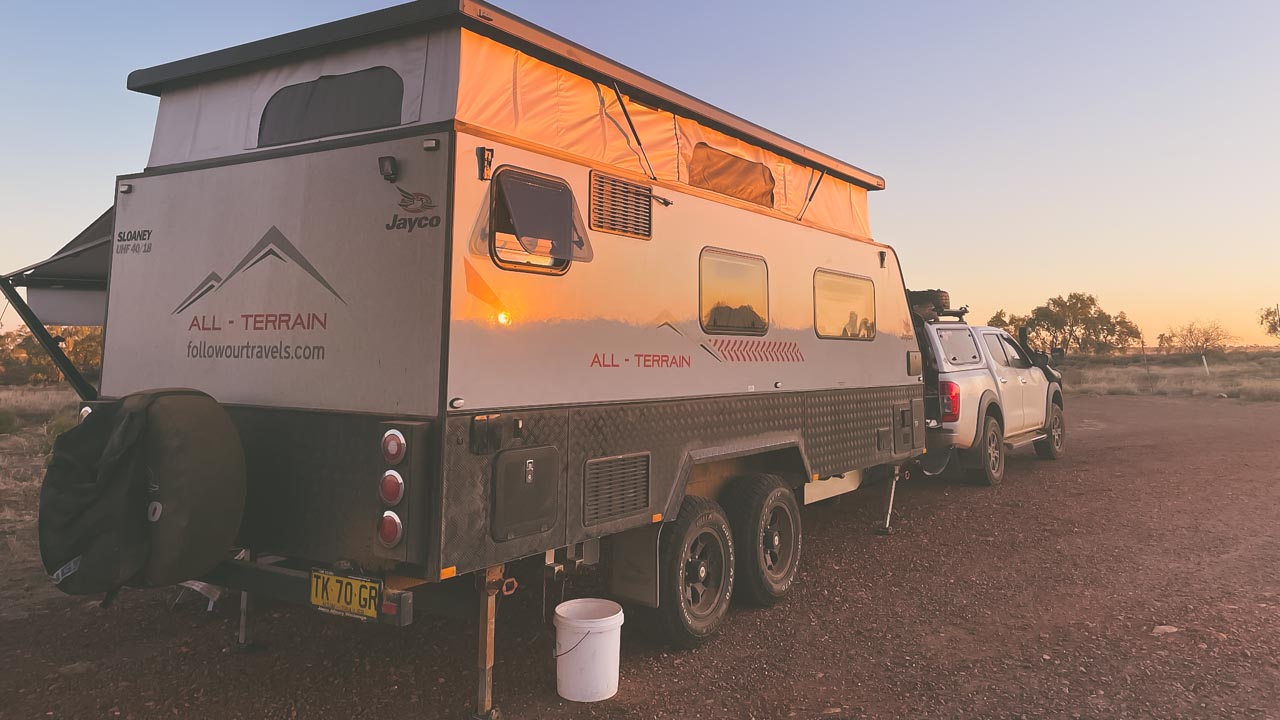
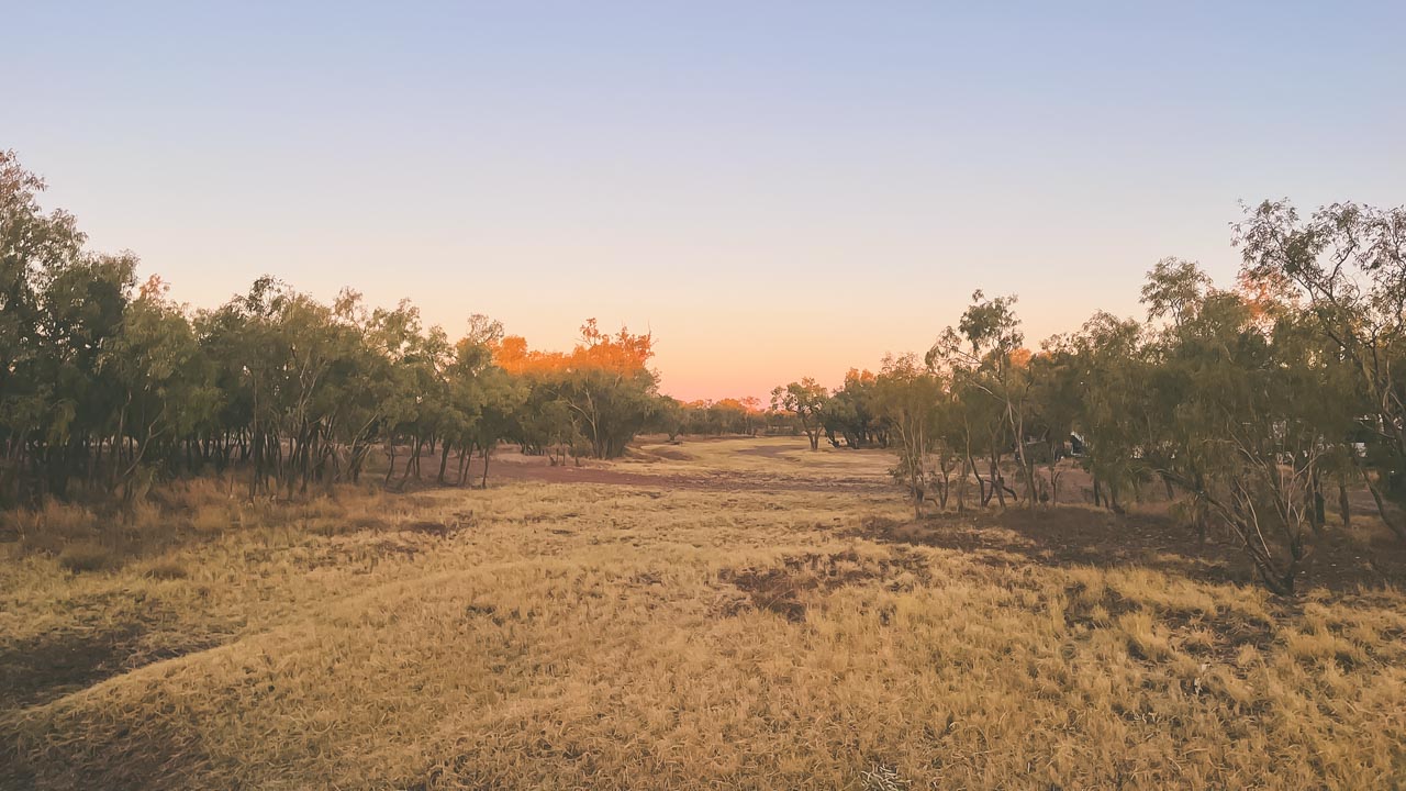
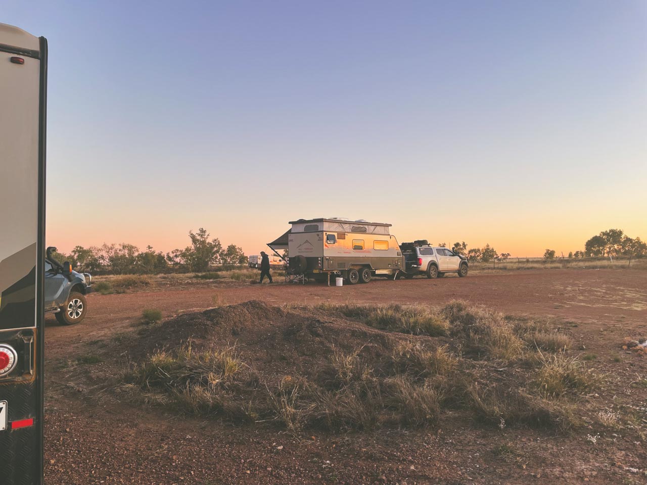
A great place for a stopover between Tennant Creek and Mt Isa. Located in Camooweal QLD Camooweal Billabong free camping is a huge free camp on Lake Francis. There are no facilities. Approximately 100 caravans can be easily accommodated.

Camooweal Billabong Free Camping

Camooweal Billabong Free Camping

Camooweal Billabong Free Camping

Whilst at Camooweal Billabong free camping brolgas and other water birds can be seen in abundance. Campfires are allowed. This is a worthwhile stopover after Mount Isa on the way to NT. Camooweal is an outback town and locality in Queensland, Australia. In this locality, Queensland meets the Northern Territory. Camooweal had 208 residents in the 2016 census.

Camooweal Billabong Empty

Camooweal Billabong Empty

Camooweal Geography

Camooweal is located in the western Gulf Region, bordering the Northern Territory on the west. Camooweal is located in the southwest corner of the locality. 169 kilometres from Mount Isa and 12 kilometres from the Northern Territory border, this town is located in the north-west of the city.

From the south (Barkly), the Barkly Highway passes east to west through the town center (where it’s known as Barkly Street) and then exits to the west (Northern Territory).

In this locality, the Georgina River enters from the west (Northern Territory), passes immediately west of town, then exits to the south (Barkly). The Georgina River and Lake Canellan (also known as Lake Francis and Lake Canellan) lie south-east of the town. Lake Mary, also located along the river, is 7 kilometres northwest of town (19.8666°S 138.1°E).

The locality is a drainage divide running from the north-west to the south-east of the locality. A tributary of the Nicholson River flows into the Gulf of Carpentaria to the north of the locality. In the south and west of the locality, waterways are tributaries of the Georgina River, which forms part of the Lake Eyre drainage basin.

Camooweal Billabong Free Camping Spectacular Sunset

Camooweal Billabong Free Camping Spectacular Sunset

Camooweal QLD History

  • First inhabited by Indigenous Australians, the area was known as Indjilandji.
  • William Landsborough named the Barkly Tablelands after His Excellency, Sir Henry Barkly, Governor of Victoria in 1861. Frances Landsborough was also the name he gave to his niece Lake Francis. Britisher George Sutherland was the first to settle in the area. George took up the Rocklands lease in 1865. He arrived at Lake Mary with 8,000 sheep. This caused the Aboriginal people who were Sound asleep at the time to get up and run. In the following months they attacked Sutherland a couple of times. After fellow colonists William Lyne and Henry Steiglitz turned up Sutherland “deemed it fully time to make a raid and drive them back.” One of the colonialists fired a shot that hit a group of boomerangs. This scared the Aboriginal people into fleeing. Sutherlands stock suffered serious losses to the local dingos and wedge-tailed eagles. In addition, lack of water and isolation soon forced him to abandon his lease. Other Englishmen Benjamin Crosthwaite and William Tetley were marginally more successful. They took up the lease in 1876.
  • The origin of the town’s name is not really known. A theory is that it take its name from surveyor George Telford Weale. George first surveyed the area with camels in the early 1880s. Get it – CamelWeale? Another theory has it that it is an Aboriginal word meaning strong wind.
  • Camooweal Provisional School opened on June 5, 1893.
  • The town had
  • On 2 January 1931, a Qantas Air Ambulance from the Royal Flying Doctor Service of Australia rescued a man in Camooweal and delivered him to Brisbane. The plane was flown by piloted by E.G. Donaldson
  • The road through Camooweal to the Northern Territory was built by army engineers. Now the Barkly Highway it was the inland defence route during World War II. This road carried in excess of 1000 vehicles a day. These days there are numerous historical sites marked alongside the road.
  • The town first had electricity in 1952.
  • St Therese’s Catholic Church was officially opened on 30 April 1961 by none other than the Bishop of Townsville Hugh Edward Ryan.
  • Camooweal Caves National Park opened on 16 December 1994.
  • Given the economic importance of transport on the Barkly Highway a constant problem was is flooding of the Georgina River. During floods the Barkly Highway bridge over the Georgina River became unusable for many days. Road trains and other heavy vehicles had to wait weeks before they were able to cross. The new Georgina River Bridge was officially opened on 20 December 2002 by Senator Ron Boswell and Steve Breadhauer the Minister for Transport in the Queensland Government. Replacing the previous bridge which was approximately 50 metres (160 ft) south it is both higher and longer so traffic on the highway can continue to cross during floods.
  • In the 2016 census, the locality of Camooweal had a population of 208 people.

Camooweal Billabong Huge Free Camping Area

Camooweal Billabong Huge Free Camping Area

We Visit Kunjarra (The Pebbles) Tennant Creek

We Visit Kunjarra (The Pebbles) Tennant Creek

We Visit Kunjarra (The Pebbles) Tennant Creek

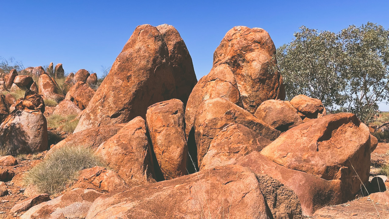
We visited Kunjarra/The Pebbles just north of Tennant Creek and were awed by their beauty and presence. Personally I found it to be a magical place great importance to me.

Not as visually large or impressive as Karlu Karlu (The Devils Marbles) to the south of Tennant Creek they make up for it with what they are and what they mean to the regions first people the Warumungu.

Kunjarra The Pebbles Tennant Creek

Kunjarra The Pebbles Tennant Creek

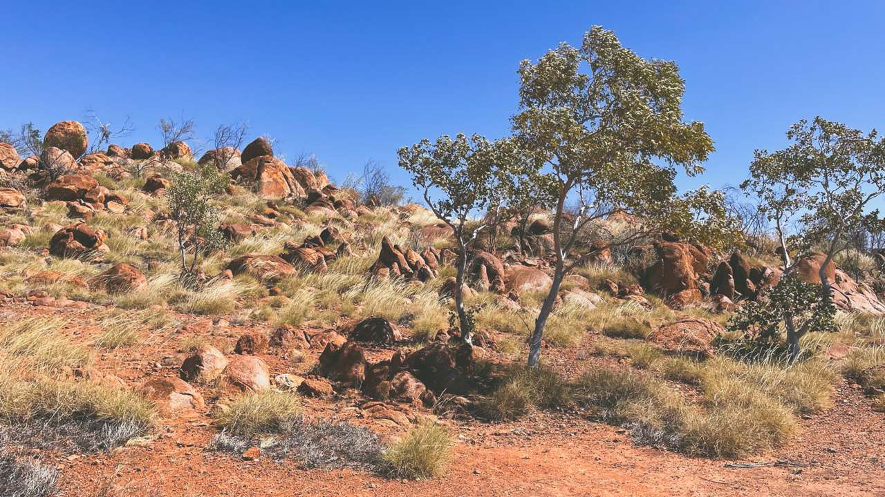
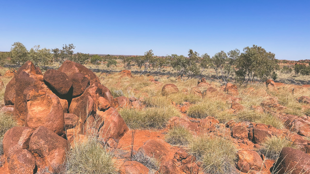
I found them to be visually quite stunning set amongst the red dirt country with a very bright blue sky as a backdrop. What I wasn’t prepared for was how they made me feel that time had stood still and I was there a thousand years ago waiting for a ceremony to begin. I don’t claim to be of aboriginal heritage however as an Aussie I am deeply rooted to this country and land and standing there surrounded by Kunjarra/The Pebbles made me extra aware of this.

The Pebbles Tennant Creek

The Pebbles Tennant Creek

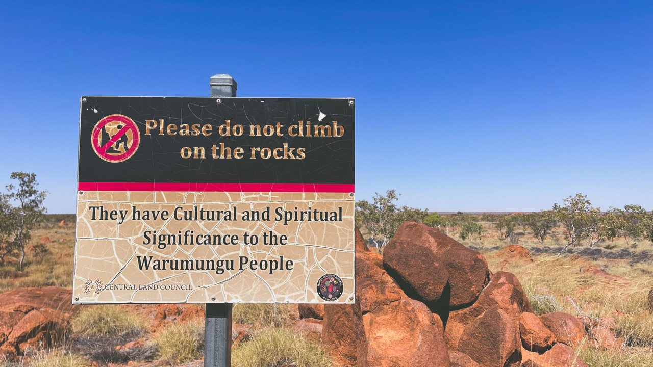
Kunjarra/The Pebbles are an extensive outcrop of granite boulders located 11 kilometres north of Tennant Creek. The sign boards at the site do a great job of explaining the cultural significance as well as how they fit in to the landscape and culture of the Warumungu Aboriginal people.

Kunjarra Tennant Creek

Kunjarra Tennant Creek

Known to the Warumungu Aboriginal people as Kunjarra/The pebbles. It is a sacred womens site where dancing and healing rites of the Munga Munga dreaming take place.

Accessing Kunjarra/The Pebbles

Access is about 500m past the Telegraph Station on the left for those travelling north on the Stuart Highway. There are six kilometres of unsealed road so high clearance vehicles are recommended. When we visited (August 2022) the dirt section was in pretty good condition with only a few corrugated sections.

Kunjarra/The Pebbles are open for visitor day use only. Camping is not permitted. There is a well formed walking track that winds around the site. Toilets are available.

Kunjarra The Pebbles Sign

Kunjarra The Pebbles Sign

We Visit Tennant Creek Telegraph Station

We Visit Tennant Creek Telegraph Station

We Visit Tennant Creek Telegraph Station

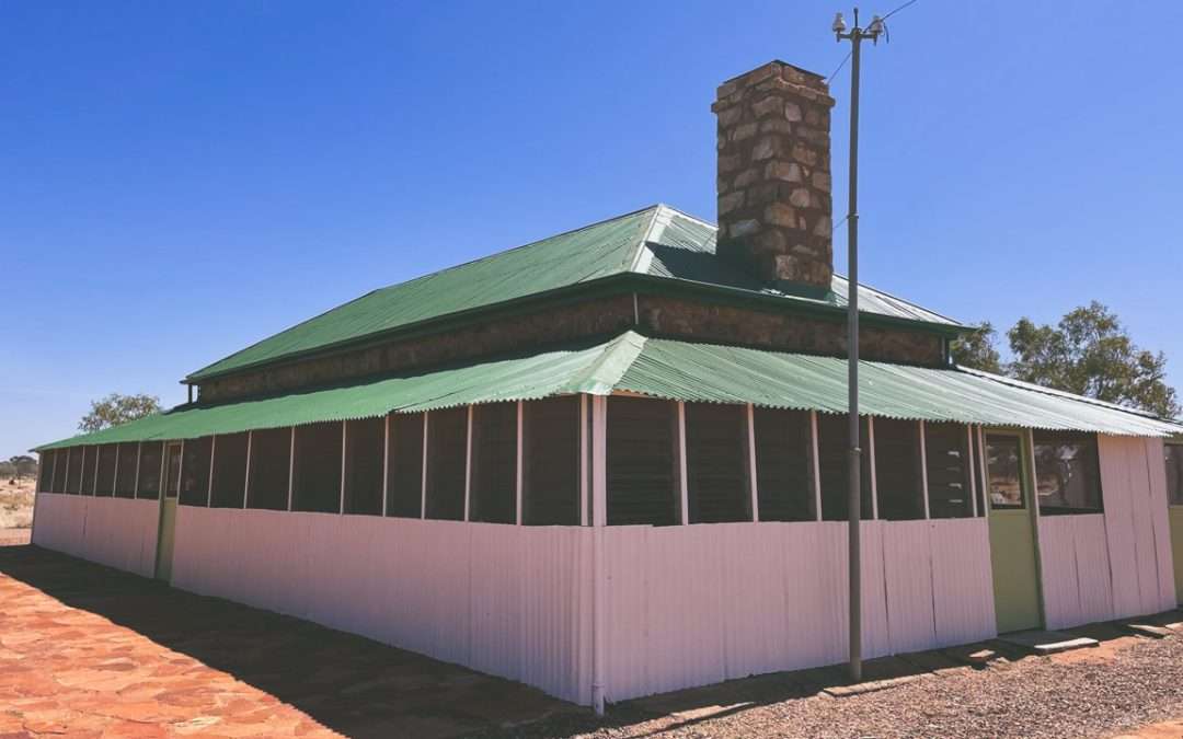
We visit Tennant Creek Telegraph Station and it was a great experience. A few days previous we visited the Alice Springs Telegraph Station and we were interested in a comparison between the two.

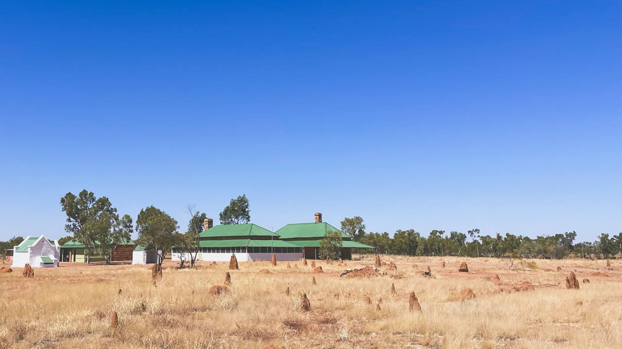
Tennant Creek Telegraph Station Telegraph Office

Tennant Creek Telegraph Station Telegraph Office

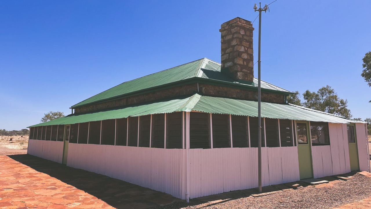
The Tennant Creek Telegraph Station is a lot more basic in it’s construction and is situated further out of town so it seems to be more rural and rustic in it’s appearance and construction than the one in Alice Springs. Tennant Creek township however was never really intended to exist so I get why the Telegraph Station seems to be a long way out of town. If it wasn’t for the telegraph station being where it was then they would possibly have not found gold near where the current Tennant Creek town is situated so the town may never have existed. Bit of a catch 22 situation.

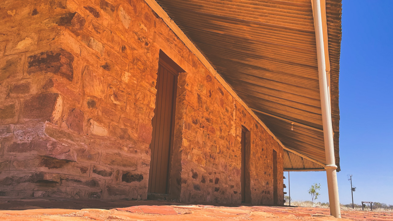
Tennant Creek Telegraph Station Verandah

Tennant Creek Telegraph Station Verandah

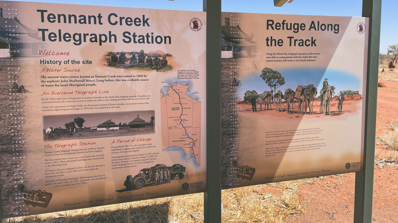
There has been some restoration work done on the Telegraph Station at Tennant Creek and it has been done very well. Signs around the reserve explain things clearly and there are some really good displays of artefacts to be found inside some of the buildings.

Information Board

Information Board

Our visit to Tennant Creek Telegraph Station was a very worthwhile experience. It was both educational and at the same time made us reflect on just how hard the pioneers of our country had it. We highly recommend that if you are in the area that you check it out for yourselves.

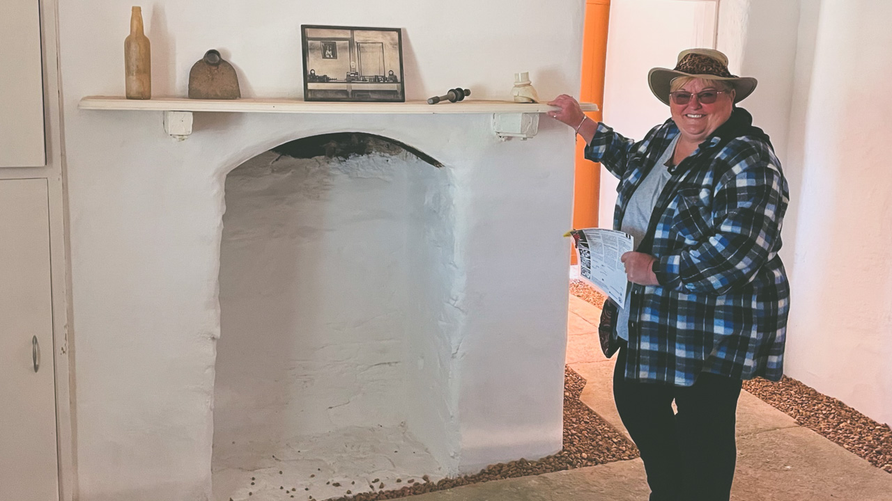
Telegraph Station Inside Fireplace

Telegraph Station Inside Fireplace

About The Tennant Creek Telegraph Station

From Adelaide to Darwin the Overland Telegraph Line was constructed along a route that had been successfully traversed by John McDouall Stuart in 1862. The colonial telegraph system was Australia’s first connection to Britain completed in 1872.

Tennant Creek Telegraph Station

Tennant Creek Telegraph Station

A temporary bush timber building was erected in 1875 followed by a permanent building made from stone quarried nearby. Telegraph Stations provided early explorers, pastoralists, and travellers with water and supplies in addition to operating the line.

Tennant Creek township was established in 1925 as a result of the discovery of gold by a linesman. The old Telegraph Station was closed in 1935 when a post and telegraph office opened in the thriving town of Tennant Creek. Although the station closed in 1966 it continued to play an important role in the development of the region. Supplying meat and water to the new town.

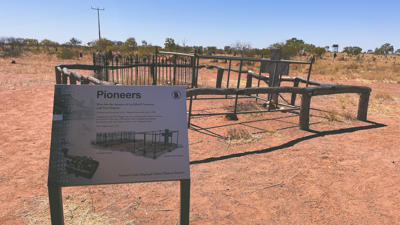
Tennant Creek Telegraph Station Pioneer Cemetary Graves

Tennant Creek Telegraph Station Pioneer Cemetary Graves

A Long Aboriginal History In The Area

The region was first occupied by Warumungu people. There was a major upheaval in their lives as a result of the Overland Telegraph line being developed and pastoral activities commencing. Aboriginal people used the well as a water source during the severe droughts of the 1880s. The Telegraph Station was transformed into a rations store in 1890 when flour, sugar, tea, and blankets were distributed.

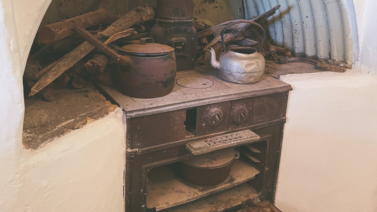
Metters Stove & Camp Oven

Metters Stove & Camp Oven

A mining permit over the Warumungu Aboriginal Reserve was issued in 1934, after the reserve was established by 1892. “The Warumungu people at Telegraph Station perform such a variety of ceremonies that both researchers are quite exhausted keeping records,” said Spencer and Gillen, who set up a dark room to process photographs at the station.

Access To The Tennant Creek Telegraph Station

A 10-km drive north of Tennant Creek on the Stuart Highway leads to the Reserve. Visitors can borrow keys from the Battery Hill Visitor Centre on Peko Road in order to gain access inside the buildings at the Tennant Creek Telegraph Station. Identification and a deposit are required.

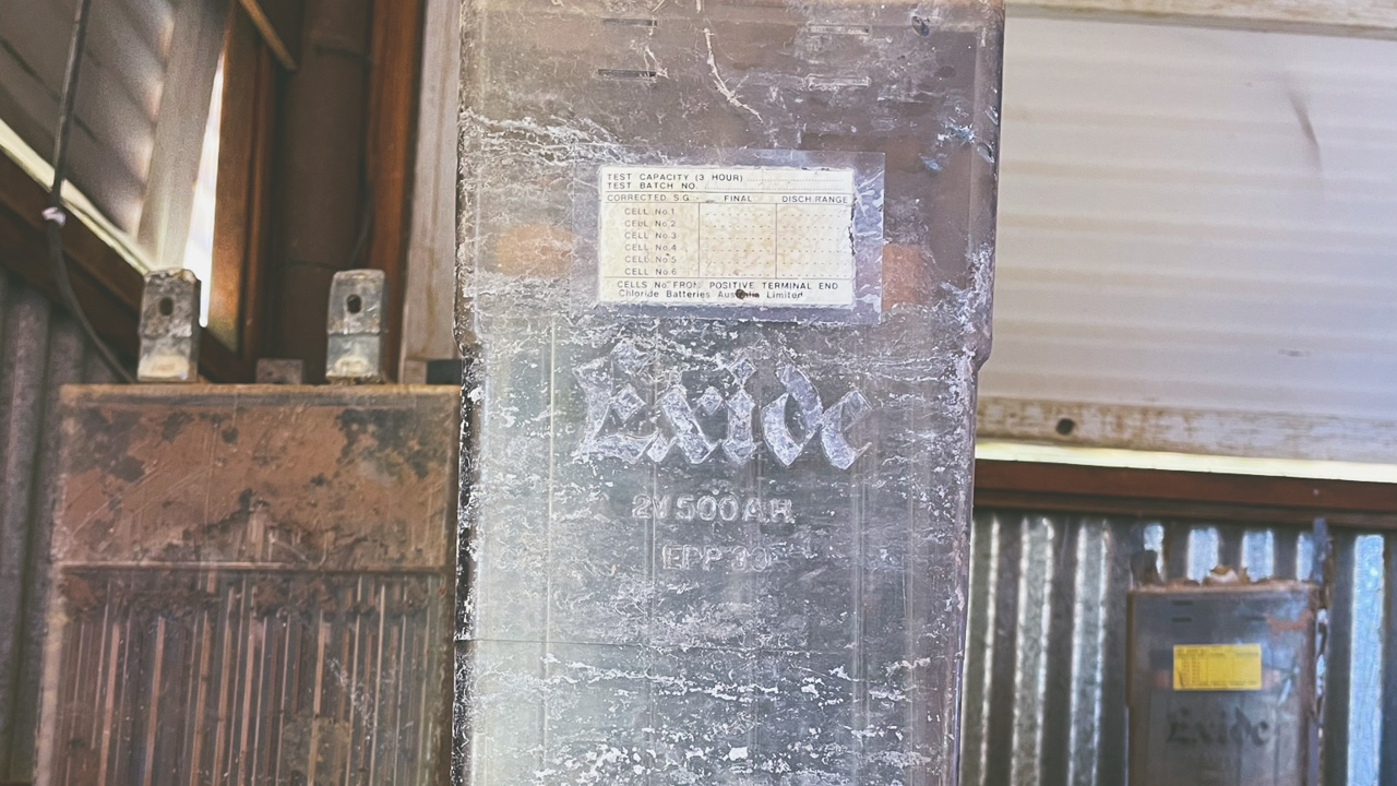
Old Exide Battery Used To Power Overland Telegraph Line Equipment

Old Exide Battery Used To Power Overland Telegraph Line Equipment

Battery Hill Underground Mine Tour At Tennant Creek

Battery Hill Underground Mine Tour At Tennant Creek

Battery Hill Underground Mine Tour At Tennant Creek

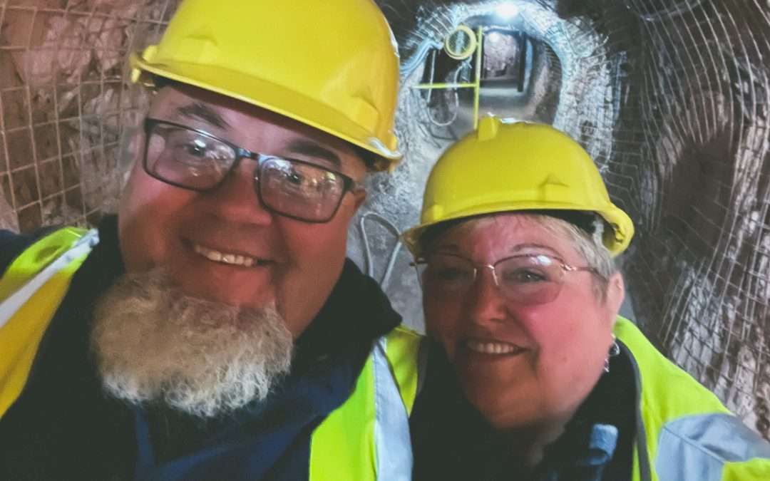
We visited Battery Hill and went on the Battery Hill Underground Mine Tour At Tennant Creek. It was both educational and interesting. It’s the first time we have been down a gold mine. We have been down about a dozen opal mines and a few silver mines but never a gold mine.

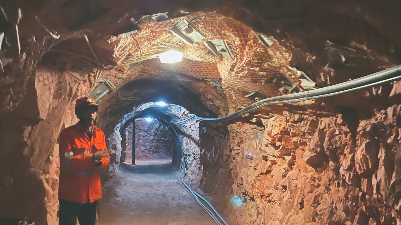
Our Tour Guide

Our Tour Guide

The tour was very well done. It’s as if the gold mine had only closed down yesterday which is pretty much what happened except it was a bit longer ago. There is a heap of old equipment that is just left in place as it was.

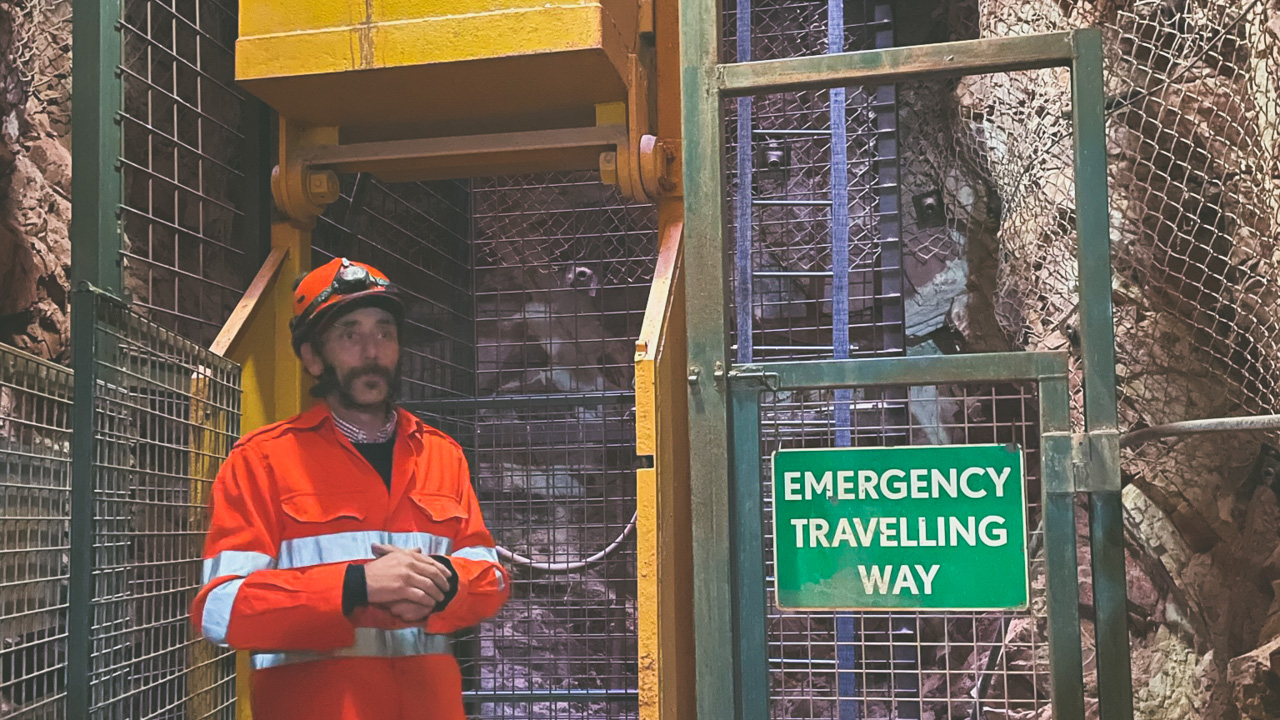
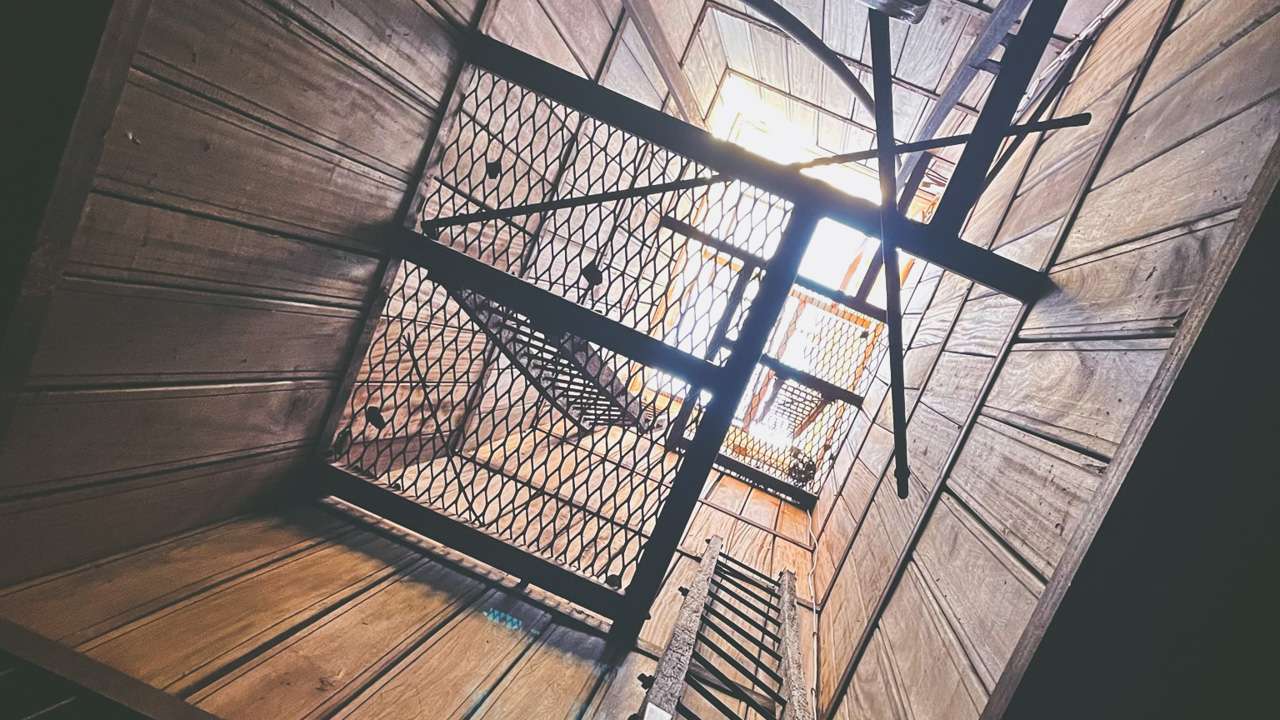
Mine Lift Bucket

Mine Lift Bucket

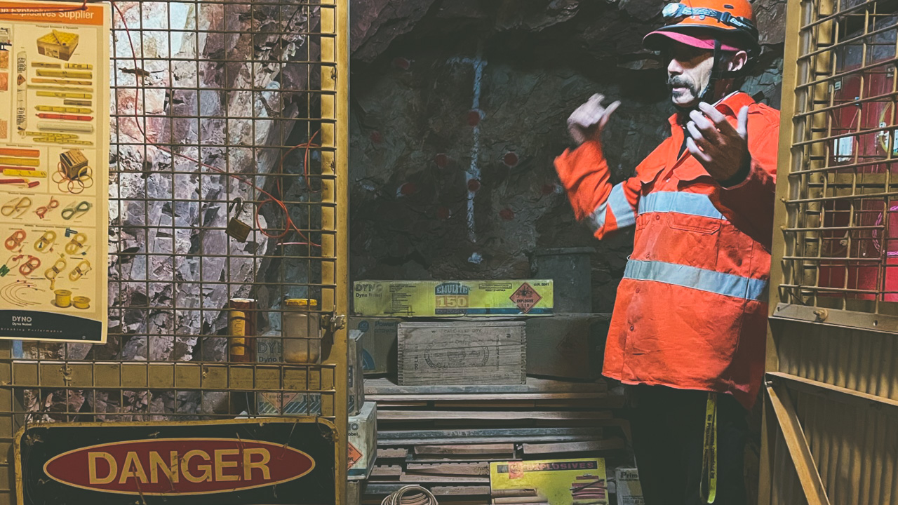
Our tour guide for the Battery Hill Underground Mine Tour At Tennant Creek was extremely knowledgeable. In fact he is a current day gold prospector and has worked in various gold mines around the country so has first hand knowledge. Dave was very well spoken and gave us an excellent history lesson on the mine we were in as well as mines in the surrounding area. Dave also gave us a great rundown on the equipment and how it used. All up it was extremely educational and well worth the entry fee. I highly recommend that you go on the Battery Hill Underground Mine Tour At Tennant Creek if you are in the area.

Dave Explaining The Use Of Explosives

Dave Explaining The Use Of Explosives

About Battery Hill

J Smith Roberts discovered gold three miles north of the current town area in 1926. It was telegraph operator Charles Windley who discovered gold on what would become Tennant Creek’s first mine. It wasn’t until Frank Juppurla, an Indigenous man from the area, gave gold to telegraph operator Woody Woodruffe in December 1932 that Australia’s last great Gold Rush began. A population of 600 people quickly grew, of whom 60 were women and children. One of the last two operating ten-head stamp batteries, a government-owned ore crushing machine, is located at “Battery Hill” overlooking Tennant Creek.

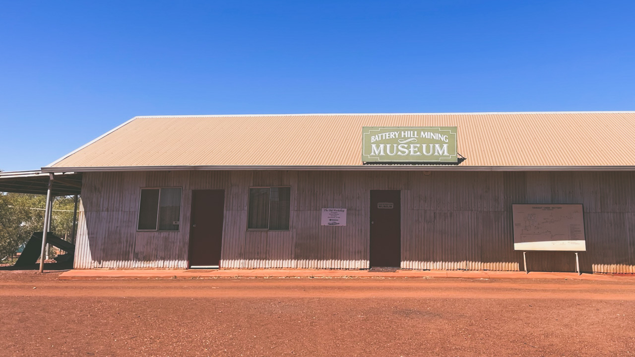
Battery Hill Mining Museum

Battery Hill Mining Museum

Location

Battery Hill is located on Peko Road at Tennant Creek about 5 minutes drive from Tennant Creeks main street in Australia’s Northern Territory on Patta Land of the Waramungu people.

Phone (08) 8962 1281

Battery Hill Mine Tennant Creek

Battery Hill Mine Tennant Creek

Pin It on Pinterest