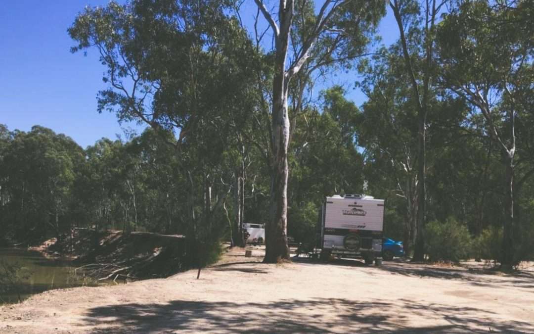
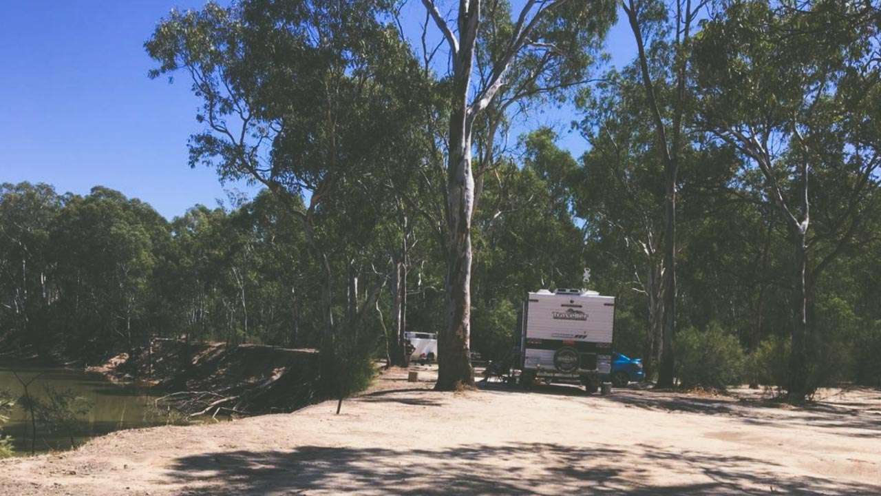
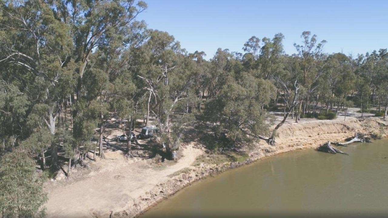
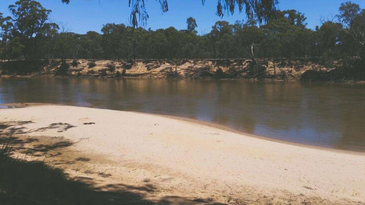
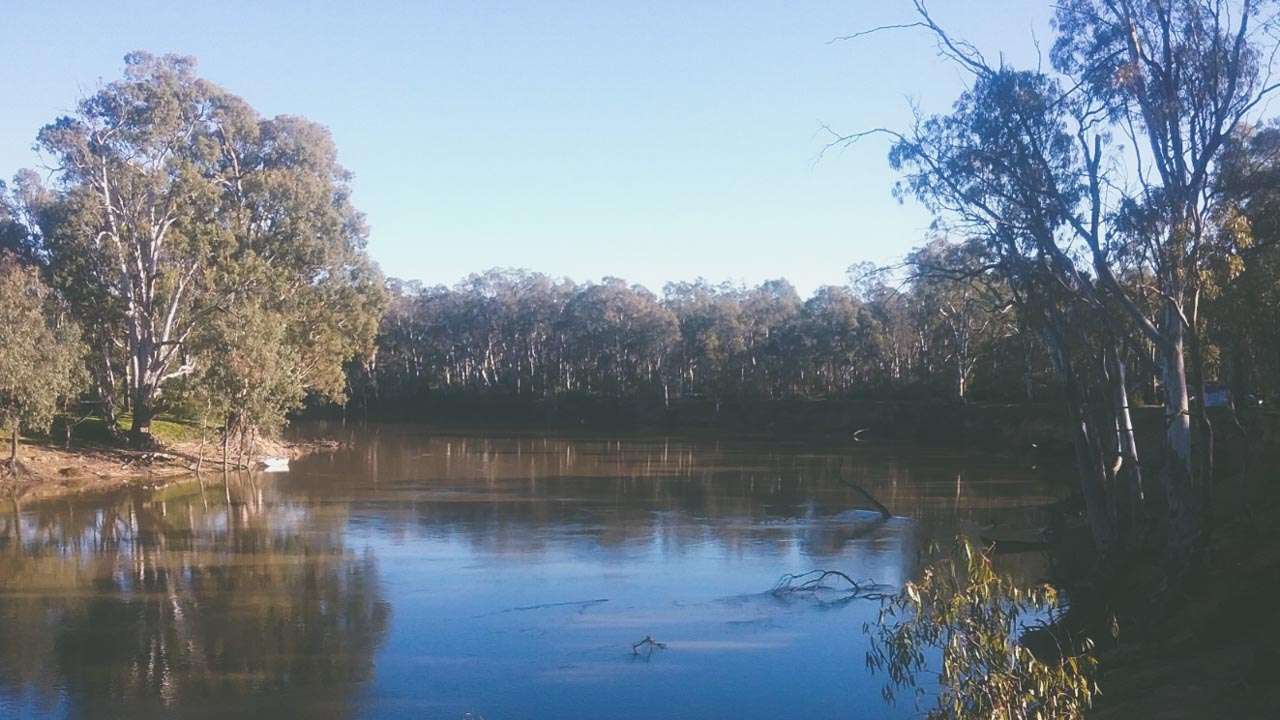
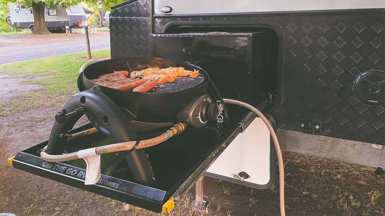
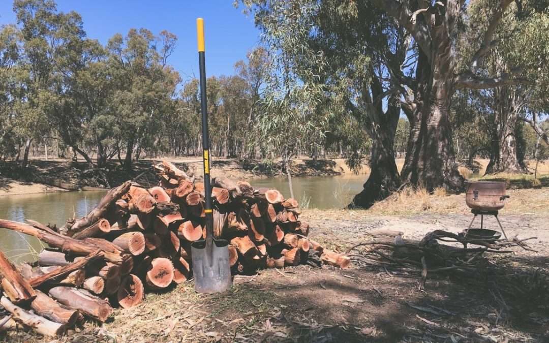
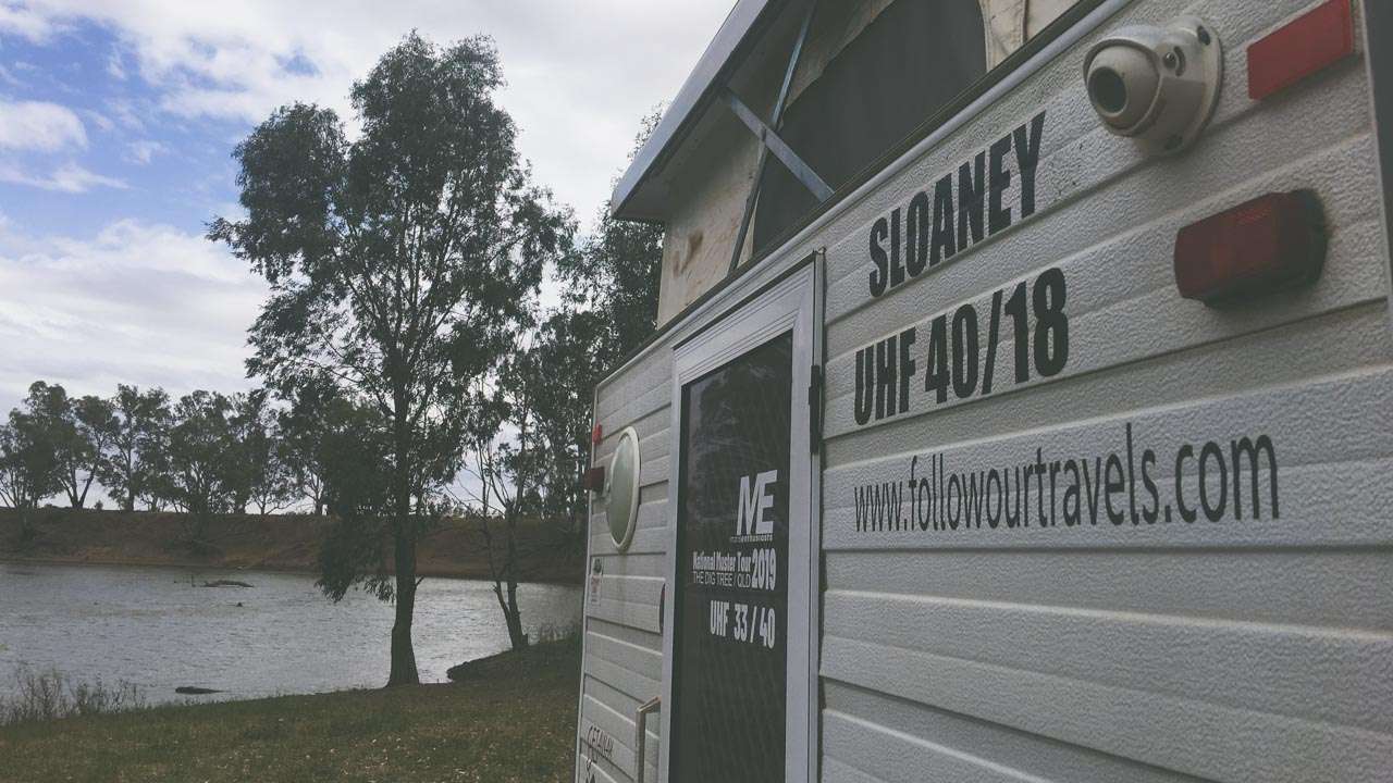
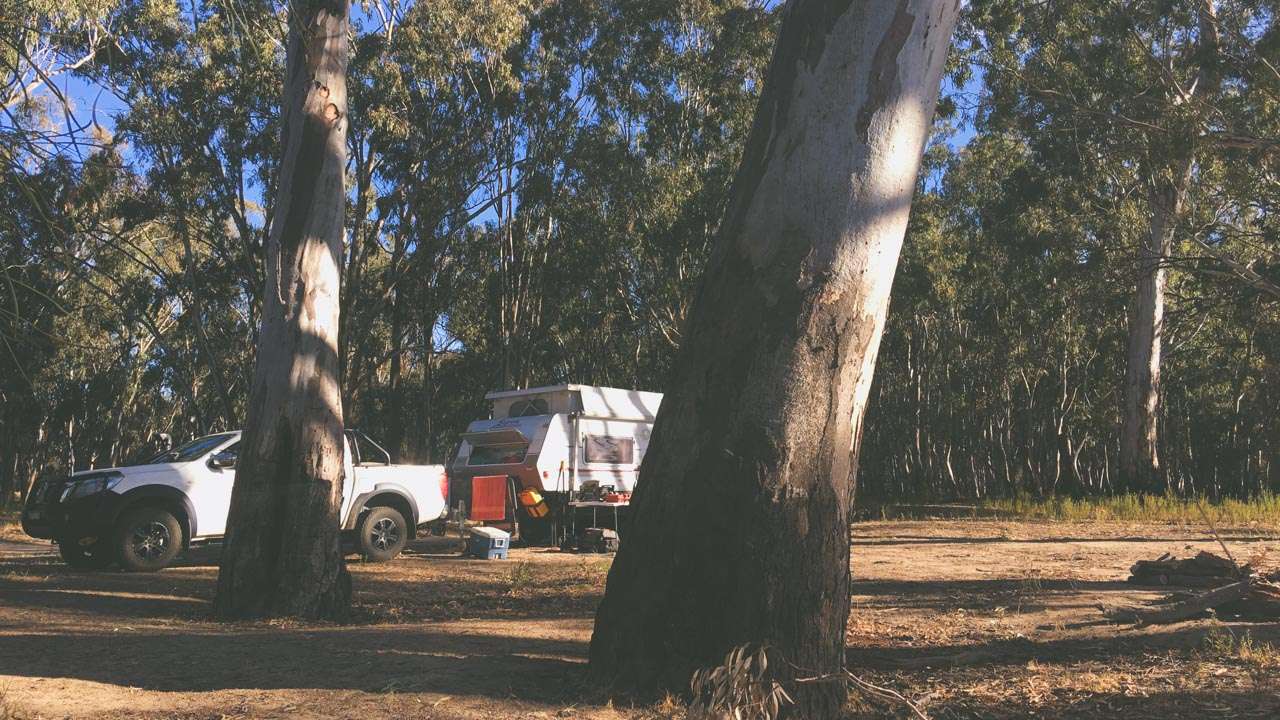
At Easter and Christmas you’ll always find thousands of people along the Murrumbidgee River Camping. Here are 63 free or low cost camps that are absolutely awesome. Lots have plenty of free space and can accommodate loads of campers. There are pet friendly sites, some with water available, a few with toilets and a few with showers. Many allow fires and have firewood available to collect.We have listed 63 free and low cost camps along The Murrumbidgee River. Ranging from free camping to low cost National Park and State Forest camping there is something here for all budgets and camping styles. Pack your gear and hit the road. Let the Murrumbidgee River show you it’s beauty in the middle of the Australian Outback.
1. Woolpress Bend, Yanga National Park
Woolpress Bend campground in Yanga National Park offers secluded camping on the banks of the Murrumbidgee River. Spend your days paddling, fishing, birdwatching or explore the history of this remote and beautiful park. Woolpress Bend has 3 marked campsites located 500m apart. Suitable for tents, camper trailer, camping beside your vehicle and off-road caravans. Camping is free, however bookings are required for this campground. Contact Yanga National Park office to make your booking – in person, by phone or by UHF CH 2.
- No fires from 1st Oct to 31st March.
- Check for road closure, sign just off Sturt Hwy.
- Follow signage to camps, 30km of bitumen, 17km of excellent gravel, 8km of well graded dirt which includes 5km from entry check in to the camping area.
- Pin is at info board, 5km from the camping area.
- This is a remote campground, please arrive well prepared.
Type: Paid Camping (National Park)
Cost: $6 booking fee
Booking Required: Yes
Location: Waugorah Rd Coates Rd Yanga National Park, New South Wales
GPS: -34.371701°, 143.896101°
Phone: (03) 5020 1764
Web: https://www.nationalparks.nsw.gov.au/camping-and-accommodation/campgrounds/woolpress-bend-campground
Email: [email protected]
Pet Friendly: No

Camping At Jugiong
2. Maude Campspot
This is a free campground. It is dog friendly. It is accessible to RVs, camper trailers and caravans. Camping in tents is allowed. Space for two or three groups or half a dozen vans in total. Near to pub and general store.
Type: Free Camping
Cost: Free
Location: Nap Nap road Maude, New South Wales
GPS: -34.477745°, 144.296980°
Pet Friendly: Yes
3. River Campsite (Maude NSW)
This is a free campground. It is dog friendly. It is accessible to RVs, camper trailers and caravans. Camping in tents is allowed.
Type: Free Camping
Cost: Free
Location: Yangang St, Maude, New South Wales
GPS: -34.476842°, 144.306501°
Pet Friendly: Yes
4. South Maude Day Spot
Just off main road beside river. No facilities.
Type: Free Camping
Cost: Free
Location: Maude Road, Maude, New South Wales
GPS: -34.499187°, 144.313482°
Pet Friendly: Yes
5. Johnston Park Campground
This is a free campground. It is dog friendly.
Type: Free Camping
Cost: Free
Location: Johnston Memorial Dr, Hay, New South Wales
GPS: -34.523764°, 144.712463°
Pet Friendly: Yes
6. Wooloondool Campground
This location is a free campground, however a booking fee of $6 per site applies. Money collected will be used to manage campground numbers and improve your safety. You are now required to make a booking for all campgrounds and campsites in NSW national parks. This includes locations that were previously available for use without a booking. This is necessary to protect our visitors and prevent the spread of COVID-19. Book online or contact the National Parks Contact Centre on 1300 072 757.
Wooloondool is in Murrumbidgee Valley Regional Park near the town of Hay. This dog-friendly location is ideal for camping, fishing, birdwatching, canoeing, swimming alongside the Murrumbidgee River. Wooloondool offers plenty of unpowered camping spots for caravans, campers, and tents, within groves of black box trees. Camping is free. There are no facilities. Take all rubbish with you and leave no trace. Access is suitable for 2WD, however 4WD may be required in wet weather as the road to Wooloondool can become boggy when it rains. A boat ramp for launching is nearby at 4 Mile Reserve, just before Wooloondool. Although the majestic river red gums that line the Murrumbidgee River create shady picnic spots, try to avoid sitting directly underneath as they are notorious for dropping large branches without warning.
You are encouraged to bring gas or fuel stoves, especially in summer during the fire season. Firewood is not supplied, so please bring your own. Firewood may not be collected from the park. NSW national parks are no smoking areas. There is limited mobile reception in the park.
Type: Paid Camping (National Park)
Cost: $6 booking fee
Booking Required: Yes
Location: Maude Rd Hay, New South Wales
GPS: -34.511189°, 144.767565°
Phone: 1300 072 757 or (03) 5483 9100
Web: https://www.nationalparks.nsw.gov.au/camping-and-accommodation/campgrounds/wooloondool-campground?utm_source=google&utm_medium=organic&utm_campaign=Google%20My%20Business&utm_term=plcid_1510964129657019108&utm_content=Wooloondool%20campground%20-%20Hay
Email: [email protected]
Pet Friendly: No

Camping On The Banks Of The Murrumbidgee River
7. Soapworks Bend Campsite
Free bush campsite on the Murrumbidgee River in Hay. This is the site of the old Soapworks Factory. Pit toilets are present, however they are not currently maintained. Enter via Jackson St.
- It is dog friendly.
- It is accessible to RVs, camper trailers and caravans.
- Camping in tents is allowed.
- Fire permitted.
Type: Free Camping
Cost: Free
Location: Jackson St, Hay, New South Wales
GPS: -34.507799°, 144.819687°
Pet Friendly: Yes
8. Sandy Point Reserve
If you are looking to go for a swim, put in a boat or throw in a fishing line this is the place to be. There is a sandy beach leading to the safe family swimming area. Majestic old River Red Gums provide shade to enjoy a relaxing swim or a picnic break. There are also picnic tables, BBQs and toilet facilities. Sandy Point is also home to a FREE primitive camp ground. You may stay for 2-3 days.
There are two entries to Sandy Point; one via Brunker Street adjacent the skate park and another at the western end of Water Street. Facilities include toilets, picnic tables, bbqs and bins. It is dog friendly. It is accessible to motorbikes, RVs, camper trailers, caravans and big rigs. Camping in tents is allowed. There is a lovely riverfront shared path into town, a flat well-formed pathway with several artworks and paintings along the way. It takes about 20minutes to reach the nearest coffee shop.
Type: Free Camping
Cost: Free
Location: Water Street, Hay, New South Wales
GPS: -34.510763°, 144.835973°
Pet Friendly: Yes
9. Brandons Bend
This is a free campground. It is dog friendly. It is accessible to motor bikes and camper trailers. Camping in tents is allowed.
Type: Free Camping
Cost: Free
Location: Sturt Highway, Hay Shire Council, New South Wales
GPS: -34.519647°, 144.865212°
Pet Friendly: Yes
10. Pump Shed Bend
Pump Shed Bend is just out of town. Easy access when dry for multiple caravans just off the Sturt Highway. Not recommended if wet. Nice open site on the banks of the Murrumbidgee River.
Type: Free Camping
Cost: Free
Location: Sturt Highway, Hay Shire Council, New South Wales
GPS: -34.519073°, 144.870398°
Pet Friendly: Yes
11. Mulberrygong Reserve Camp Spot
This is a free campground. It is dog friendly. It is accessible to RVs, camper trailers, caravans and big rigs. Camping in tents is allowed.
Type: Free Camping
Cost: Free
Location: Sturt Hwy, Hay South, New South Wales
GPS: -34.504165°, 145.236389°
Pet Friendly: Yes
12. Mozzie Beach
This free campground offers swimming. It is dog friendly. It is accessible to camper trailers. Camping in tents is allowed.
Type: Free Camping
Cost: Free
Location: Murrumbidgee River Rd, Carrathool, New South Wales
GPS: -34.452500°, 145.326524°
Pet Friendly: Yes
13. Campbells Reserve Camp Spot
This is a free campground. It is dog friendly. It is accessible to RVs, camper trailers, caravans and big rigs. Camping in tents is allowed.
Type: Free Camping
Cost: Free
Location: Sturt Hwy, Carrathool, New South Wales
GPS: -34.467290°, 145.390851°
Pet Friendly: Yes
14. Pinkers Beach Carrathool
This free campground offers toilets, drinking water and swimming. It is dog friendly. It is accessible to RVs, camper trailers and caravans. Camping in tents is allowed. You must be fully self-contained.
Type: Free Camping
Cost: Free
Location: Carrathool, New South Wales
GPS: -34.438393°, 145.428665°
Pet Friendly: Yes

Jugiong Showgrounds Murrumbidgee River Camping
15. Rudds Point Reserve Camp Spot
This is a free campground. It is dog friendly. It is accessible to RVs, camper trailers, caravans and big rigs. Camping in tents is allowed.
Type: Free Camping
Cost: Free
Location: Sturt Hwy, Carrathool, New South Wales
GPS: -34.467224°, 145.441389°
Pet Friendly: Yes
16. Birdcage Reserve Rest Area
Free Murrumbidgee River Camping. This free campground offers toilets. It is dog friendly. It is accessible to RVs, camper trailers, caravans and big rigs. Camping in tents is allowed. You can stay here for up to 24 hours.
Type: Free Camping
Cost: Free
Location: 18527 Sturt Hwy, Darlington Point, New South Wales
GPS: -34.523799°, 145.701689°
Pet Friendly: Yes
17. Yarradda Forest & Lagoon Camp Area
This is a free campground that is great for Murrumbidgee River camping. Dogs are not permitted. It is accessible to RVs, camper trailers and caravans.
Type: State Forest Free Camping
Cost: Free
Location: Sturt Hwy, Darlington Point, New South Wales
GPS: -34.562958°, 145.813980°
Pet Friendly: No

Loads Of Firewood Murrumbidgee River Camping
18. Nobles Beach Camp Spot
This is a free campground. Dogs are not permitted. It is accessible to RVs, camper trailers and caravans. Camping in tents is allowed.
Type: Free Camping
Cost: Free
Location: Murrumbidgee River Rd, Un East, New South Wales
GPS: -34.553948°, 145.904938°
Pet Friendly: No
19. Uri State Forest
This free campground offers swimming. It is dog friendly. It is accessible to RVs, camper trailers and caravans. Camping in tents is allowed.
Type: State Forest Free Camping
Cost: Free
Location: River Rd, Darlington Point, New South Wales
GPS: -34.559658°, 145.935180°
Pet Friendly: Yes
20. Alfies Beach, Willbriggee Regional Park
You are now required to make a booking for all campgrounds and campsites in NSW national parks. This includes locations that were previously available for use without a booking. This campground offers swimming. Dogs are not permitted. It is accessible to RVs, camper trailers and caravans. Camping in tents is allowed.
Type: Paid Camping (National Park)
Cost: $6 booking fee
Booking Required: Yes
Location: Britts Road, Darlington Point, New South Wales
GPS: -34.558989°, 145.958436°
Phone: 1300 072 757
Web: https://www.nationalparks.nsw.gov.au
Pet Friendly: No
21. Dolans Beach
This free campground offers swimming. It is dog friendly. It is accessible to camper trailers and caravans. You must book in advance.
Type: Paid Camping (National Park)
Cost: $6 booking fee
Booking Required: Yes
Location: Willbriggie Regional Park, New South Wales
GPS: -34.562827°, 145.966504°
Pet Friendly: Yes

Murrumbidgee River Camping
22. Horries Beach Camp Spot
This is a free campground. It is accessible to RVs, camper trailers and caravans (with care!) Camping in tents is allowed.
Type: Free Camping
Cost: Free
Location: Darlington Point, New South Wales
GPS: -34.562377°, 145.978130°
Pet Friendly: Yes
23. Wilbriggie State Forest Camp Area
This is a free campground. It is dog friendly. It is accessible to RVs, camper trailers and caravans. Camping in tents is allowed.
Type: State Forest Free Camping
Cost: Free
Location: Darlington Point, New South Wales
GPS: -34.555555°, 145.986118°
Pet Friendly: Yes

Murrumbidgee River Camping Swinging Bridge Carrathool
24. Bunyip Hole Campground
Bunyip Hole campground is in the Willbriggie area of Murrumbidgee Valley Regional Park, near Griffith. This dog-friendly campground is a peaceful riverside escape, and offers unpowered sites with great fishing, paddling, walks and cycling. Bookings are required. Book online or call the National Parks Contact Centre on 1300 072 757. There are no camping fees at this campground but a $6 booking fee applies.
There are 15 unpowered campsites suitable for tents, camper trailers, caravans and camping beside your vehicle. Facilities include picnic tables and non-flush toilets. Bring your own drinking water. There are no designated fire pits at this campground, so you’ll need to bring your own gas stove, solid fuel burner and firewood. There are no bins so please take all rubbish away with you when you leave.
Although the majestic river red gums that line the Murrumbidgee River create shady picnic spots, try to avoid sitting directly underneath as they are notorious for dropping large branches without warning.
The sandy beaches are great for kids (and dogs) to run off their energy, while the calm river is perfect for kayaking and cooling off after a hot day.
From Narrandera: Follow the Newell Hwy/Stun Hwy/A20/A39 for 57km Turn right onto Kidman Way/B87 and continue for 4km through the town of Darlington Point Cross the Murrumbidgee River bridge and turn left onto Forest Drive in Murrumbidgee Valley Regional Park Follow Forest Drive for 5km, past Whittakers Bend, until you reach the campground.
From Griffith: Follow Kidman Way/B87 for 33km At the T-intersection, turn right and follow the signs to Darlington Point Just before the Murrumbidgee River bridge, turn right onto Forest Drive in Murrumbidgee Valley Regional Park Follow Forest Drive for 5km, past Whittakers Bend, until you reach the campground.
There’s limited mobile reception at this location.
Type: Paid Camping (National Park)
Cost: $6 booking fee
Booking Required: Yes
Location: Murrumbidgee Valley Regional Park, New South Wales
GPS: -34.559595°, 145.989379°
Phone: 1300 072 757
Web: https://www.nationalparks.nsw.gov.au/camping-and-accommodation/campgrounds/bunyip-hole-campground
Pet Friendly: No
25. Common Beach Camp Spot
This is a free campground. It is dog friendly. It is accessible to motorbikes, RVs, camper trailers and caravans. Camping in tents is allowed. You must be fully self-contained.
Type: Free Camping
Cost: Free
Location: Darlington Point, New South Wales
GPS: -34.562525°, 145.990262°
Pet Friendly: Yes
26. Whittakers Bend
This location is a free campground, however a booking fee of $6 per site applies. Money collected will be used to manage campground numbers and improve your safety. This free campground offers swimming. It is dog friendly. It is accessible to motorbikes, RVs, camper trailers and caravans. Camping in tents is allowed.
Type: Paid Camping (National Park)
Cost: $6 booking fee
Booking Required: Yes
Location: Unnamed Road, Darlington Point, New South Wales
GPS: -34.557832°, 145.992424°
Phone: 1300 072 757
Web: https://www.nationalparks.nsw.gov.au
Pet Friendly: No

Murrumbidgee River Carrathool Bridge
27. Darlington Lagoon
This is a free campground. It is dog friendly. It is accessible to camper trailers and caravans. Camping in tents is allowed.
Type: Free Camping
Cost: Free
Location: Darlington Point, New South Wales
GPS: -34.573899°, 146.011090°
Pet Friendly: Yes
28. Darlington Lagoon 2
This is a free campground. It is dog friendly. It is accessible to camper trailers and caravans. Camping in tents is allowed.
Type: Free Camping
Cost: Free
Location: Darlington Point, New South Wales
GPS: -34.579375°, 146.013104°
Pet Friendly: No
29. Darlington Lagoon 3
This is a free campground. It is dog friendly. It is accessible to camper trailers and caravans. Camping in tents is allowed.
Type: Free Camping
Cost: Free
Location: Darlington Point, New South Wales
GPS: -34.582793°, 146.020722°
Pet Friendly: No
30. Murrumbidgee (Not Suitable For Caravans)
This free campground offers swimming. It is accessible to camper trailers NOT CARAVANS. Camping in tents is allowed.
Type: Free Camping
Cost: Free
Location: Darlington Point, New South Wales
GPS: -34.588642°, 146.024461°
Pet Friendly: Yes

Murrumbidgee River NSW
31. Murrumbidgee River View
Clear area, steep bank but fine for older kids. Level ground, Campervan can access easy both ways. Take the right turn down the no through road if you have large off-road van. Adhere to seasonal fire restrictions.
You are now required to make a booking for all campgrounds and campsites in NSW national parks. This includes locations that were previously available for use without a booking. Book online or contact the National Parks Contact Centre on 1300 072 757. This location is a free campground, however a booking fee of $6 per site applies. Money collected will be used to manage campground numbers and improve your safety.
Type: Paid Camping (National Park)
Cost: $6 booking fee
Booking Required: Yes
Location: Unnamed Road, Darlington Point, New South Wales
GPS: -34.587586°, 146.050928°
Phone: 1300 072 757
Web: https://www.nationalparks.nsw.gov.au
Pet Friendly: No
32. Cuba State Forest Riverside Camping
Type: State Forest Free Camping
Cost: Free
Location: Unnamed Road, Whitton, New South Wales
GPS: -34.630635°, 146.111392°
Pet Friendly: Yes
33. MIA 3 National Park
This is a free campground. Dogs are not permitted. It is accessible to camper trailers.
You are now required to make a booking for all campgrounds and campsites in NSW national parks. This includes locations that were previously available for use without a booking. Book online or contact the National Parks Contact Centre on 1300 072 757. This location is a free campground, however a booking fee of $6 per site applies. Money collected will be used to manage campground numbers and improve your safety.
Type: Paid Camping (National Park)
Cost: $6 booking fee
Booking Required: Yes
Location: 1922 River Rd, Gogeldrie, New South Wales
GPS: -34.611453°, 146.220474°
Phone: 1300 072 757
Web: https://www.nationalparks.nsw.gov.au
Pet Friendly: No
34. Sturt Canal
This is a free campground. It is dog friendly. It is accessible to motorbikes, RVs, camper trailers and caravans. Camping in tents is allowed.
Type: Free Camping
Cost: Free
Location: Unnamed Rd, Gogeldrie, New South Wales
GPS: -34.611764°, 146.260091°
Pet Friendly: Yes

Pinkers Beach Camping Area
35. Coleambally Water Ski Club
This free campground offers toilets and swimming. It is dog friendly. It is accessible to motorbikes, RVs, camper trailers, caravans and big rigs. Camping in tents is allowed.
Type: Free Camping
Cost: Free
Location: Unnamed Road, Euroley, New South Wales
GPS: -34.631122°, 146.317014°
Pet Friendly: Yes
36. Euroley Campsite On Bend
There are around 47 campsites along the river in Murrumbidgee Valley National Park. Book your campsite and set up camp among the river red gums. Bookings are required. Book online or call the National Parks Contact Centre on 1300 072757. This location is a free campground, however a booking fee of $6 per site applies. Money collected will be used to manage campground numbers and improve your safety.
- An ideal place to go canoeing, kayaking, fishing, swimming or picnicking.
- There are no facilities. Take all rubbish with you and leave no trace.
- Beware of falling tree branches and do not camp under trees,
- Pets and domestic animals (other than certified assistance animals) are not permitted.
Type: Paid Camping (National Park)
Cost: $6 booking fee
Booking Required: Yes
Location: LOT 13 INNISVALE Lane, Euroley, New South Wales
GPS: -34.632022°, 146.347261°
Phone: 1300 072 757
Web: https://www.nationalparks.nsw.gov.au/camping-and-accommodation/campgrounds/murumbidgee-valley-campgrounds
Email: [email protected]
Pet Friendly: No
37. Opposite Euroley Beach
You are now required to make a booking for all campgrounds and campsites in NSW national parks. This includes locations that were previously available for use without a booking. Book online or contact the National Parks Contact Centre on 1300 072 757.
This location is a free campground, however a booking fee of $6 per site applies. Money collected will be used to manage campground numbers and improve your safety.
- This is a free campground.
- Camping in tents is allowed.
- You must be fully self-contained.
- NSW national parks are no smoking areas.
Type: Paid Camping (National Park)
Cost: $6 booking fee
Booking Required: Yes
Location: Middle Beach Rd, Yanco, New South Wales
GPS: -34.628482°, 146.358858°
Phone: 1300 072 757
Web: https://www.nationalparks.nsw.gov.au
Pet Friendly: No
38. Middle Beach
You are now required to make a booking for all campgrounds and campsites in NSW national parks. This includes locations that were previously available for use without a booking. Book online or contact the National Parks Contact Centre on 1300 072 757. This location is a free campground, however a booking fee of $6 per site applies. Money collected will be used to manage campground numbers and improve your safety.
Middle Beach is in the MIA II precinct of Murrumbidgee Valley National Park. This sandy Murrumbidgee River haven, is an ideal place to go canoeing, kayaking, fishing, swimming or picnicking. Secluded camping spots can be found nearby, Toilet facilities are available.
- It is accessible to RVs, camper trailers and caravans.
- Camping in tents is allowed.
- Beware of falling tree branches and do not camp under trees.
- Keen birdwatchers should keep binoculars handy to get a closer look at olive-backed oriole, corellas and yellow rosellas,
- Pets and domestic animals (other than certified assistance animals) are not permitted.
- Take all rubbish with you and leave no trace.
- NSW national parks are no smoking areas.
Type: Paid Camping (National Park)
Cost: $6 booking fee
Booking Required: Yes
Location: Euroley Road, New South Wales
GPS: -34.631564°, 146.361560°
Phone: 1300 072 757 or (02) 6966 8100
Web: https://www.nationalparks.nsw.gov.au/things-to-do/swimming-spots/middle-beach/visitor-info
Email: [email protected]
Pet Friendly: No
39. Euroley Bridge (South Side)
- This free campground offers swimming.
- It is dog friendly.
- It is accessible to RVs, camper trailers and caravans.
Type: Free Camping
Cost: Free
Location: Euroley Rd, Euroley, New South Wales
GPS: -34.637924°, 146.371336°
Pet Friendly: Yes

Pinkers Beach Free Camping
40. MIA 3 National Park
This is a free campground. Dogs are not permitted. It is accessible to motorbikes, RVs, caravans and camper trailers.
You are now required to make a booking for all campgrounds and campsites in NSW national parks. This includes locations that were previously available for use without a booking. Book online or contact the National Parks Contact Centre on 1300 072 757. This location is a free campground, however a booking fee of $6 per site applies. Money collected will be used to manage campground numbers and improve your safety.
Type: Paid Camping (National Park)
Cost: $6 booking fee
Booking Required: Yes
Location: Murrumbidgee Valley National Park Irrigation Way, Yanco, New South Wales
GPS: -34.648828°, 146.397203°
Phone: 1300 072 757
Web: https://www.nationalparks.nsw.gov.au
Pet Friendly: No
41. Yanco Weir Rest Area
- This is a free campground.
- It is dog friendly,
- It is accessible to motorbikes, RVs, camper trailers, caravans and big rigs.
Type: Free Camping
Cost: Free
Location: Sturt Hwy, Euroley, New South Wales
GPS: -34.707678°, 146.416216°
Pet Friendly: Yes
42. Horse Bend Camp (Murrumbidgee Valley)
Murrumbidgee Valley National Park, situated along the Murrumbidgee River and near Narrandera, is a great place for fishing, camping, kayaking, cycling, hiking and birdwatching. Bookings are now required for all campgrounds and campsites in NSW national parks. This location is a free campground, however a booking fee of $6 per site applies. Book online or call the National Parks Contact Centre on 1300 072 757.
Large open flat area beside the Murrumbidgee River. There are no facilities at this site. Campers must be self-sufficient. Take all rubbish with you and leave no trace. A solid fuel fire ban applies between 31 October and 31 March each year. Park management may vary this if local conditions change. Small campfires are allowed in the river red gum forests outside of the solid fuel ban period. Gathering firewood in the park is prohibited because it provides important habitat for native species. Beware of falling tree branches.
This is a remote campground with limited phone reception. Please arrive well prepared. The campground can be muddy after rain. Please call the Griffith office before you leave to check if the road is accessible – (02) 6966 8100, Most roads suitable for 2WD vehicles, 4WD required in wet weather.
- Pets and domestic animals (other than certified assistance animals) are not permitted.
- NSW national parks are no smoking areas.
Type: Paid Camping (National Park)
Cost: $6 booking fee
Booking Required: Yes
Location: Unnamed Rd, Cudgel 2700, New South Wales
GPS: -34.705638°, 146.429502°
Phone: 1300 072 757
Web: https://www.nationalparks.nsw.gov.au/visit-a-park/parks/murrumbidgee-valley-national-park
Email: [email protected]
Pet Friendly: No

Pinkers Beach Camping Murrumbidgee River
43. Markeys Beach
Murrumbidgee Valley National Park, situated along the Murrumbidgee River and near Narrandera, is a great place for fishing, camping, kayaking, cycling, hiking and birdwatching. Bookings are now required for all campgrounds and campsites in NSW national parks. This location is a free campground, however a booking fee of $6 per site applies. Book online or call the National Parks Contact Centre on 1300 072 757.
Large open flat area beside the Murrumbidgee River. There are no facilities at this site. Campers must be self-sufficient. Take all rubbish with you and leave no trace. A solid fuel fire ban applies between 31 October and 31 March each year. Park management may vary this if local conditions change. Small campfires are allowed in the river red gum forests outside of the solid fuel ban period. Gathering firewood in the park is prohibited because it provides important habitat for native species. Beware of falling tree branches.
This is a remote campground with limited phone reception. Please arrive well prepared. The campground can be muddy after rain. Please call the Griffith office before you leave to check if the road is accessible – (02) 6966 8100, Most roads suitable for 2WD vehicles, 4WD required in wet weather.
- Pets and domestic animals (other than certified assistance animals) are not permitted.
- NSW national parks are no smoking areas.
Type: Paid Camping (National Park)
Cost: $6 booking fee
Booking Required: Yes
Location: Sturt Hwy, Narrandera, New South Wales
GPS: -34.714659°, 146.443589°
Phone: 1300 072 757 or (02) 6966 8100
Web: https://www.nationalparks.nsw.gov.au/visit-a-park/parks/murrumbidgee-valley-national-park
Email: [email protected]
Pet Friendly: No
44. Sandy Beach Camp
Set up camp among the river red gums and enjoy fishing, boating and cycling at Sandy Beach campground in Murrumbidgee Valley National Park, near Leeton. Bookings are required. Book online or call the National Parks Contact Centre on 1300 072 757.
Camping is free. Sites are unmarked and unpowered and suitable for tents, camper trailers and camping beside your vehicle. Facilities include picnic tables, boat ramp and non-flush toilets. There are no rubbish bins available at this campground. Please take all rubbish with you when you leave. Generators are not permitted.
There are no designated fire pits at this campground, so please clear your campfire properly before you leave. Gathering firewood in the park is prohibited because it provides important habitat for native species. A solid fuel fire ban applies between 31 October and 31 March each year. Park management may vary this if local conditions change. Small campfires are allowed in the river red gum forests outside of the solid fuel ban period.
- This is a remote campground with limited phone reception. Please arrive well prepared.
- Sandy Beach campground can be muddy after rain. Please call the Griffith office before you leave to check if the road is accessible – (02) 6966 8100, Most roads suitable for 2WD vehicles, 4WD required in wet weather.
- Pets and domestic animals (other than certified assistance animals) are not permitted.
- NSW national parks are no smoking areas.
Type: Paid Camping (National Park)
Cost: $6 booking fee
Booking Required: Yes
Location: Murrumbidgee Valley National Park, New South Wales
GPS: -34.724385°, 146.466606°
Phone: 1300 072 757 or (02) 6966 8100
Web: https://www.nationalparks.nsw.gov.au/camping-and-accommodation/campgrounds/sandy-beach-campground
Email: [email protected]
Pet Friendly: No
45. MIA 1 Graham’s Grave Entrance
Murrumbidgee Valley National Park, situated along the Murrumbidgee River and near Narrandera, Hay and Balranald, is a great place for fishing, camping, kayaking, cycling, hiking and birdwatching.
Bookings are now required for all campgrounds and campsites in NSW national parks. This location is a free campground, however a booking fee of $6 per site applies. Book online or call the National Parks Contact Centre on 1300 072 757.
A solid fuel fire ban applies between 31 October and 31 March each year. Park management may vary this if local conditions change. Small campfires are allowed in the river red gum forests outside of the solid fuel ban period. Gathering firewood in the park is prohibited because it provides important habitat for native species.
- Pets and domestic animals (other than certified assistance animals) not permitted.
- NSW national parks are no smoking areas.
- There are no facilities at this site.
- Campers must be self-sufficient.
- Take all rubbish with you and leave no trace.
- Beware of falling tree branches
This is a remote campground with limited phone reception. Please arrive well prepared. The campground can be muddy after rain. Please call the Griffith office before you leave to check if the road is accessible – (02) 6966 8100, Most roads suitable for 2WD vehicles, 4WD required in wet weather.
Type: Paid Camping (National Park)
Cost: $6 booking fee
Booking Required: Yes
Location: Murrumbidgee Valley National Park, Irrigation Way, Cudgel, New South Wales
GPS: -34.717382°, 146.475240°
Phone: 1300 072 757 or (02) 6966 8100
Web: https://www.nationalparks.nsw.gov.au/visit-a-park/parks/murrumbidgee-valley-national-park
Email: [email protected]
Pet Friendly: No
46. Tipi Beach (Not Suitable For Caravans)
The first left after the metro servo heading west out of Narrandera or the first right after Weir Park road heading east into Narrandera on Irrigation Way. Go over the narrow white bridge. Once you go over the cattle grid follow the road through and past Punt Trail.
- Not suitable for caravans.
- Camper trailers and tents ok.
- Great little beach for swimming and fishing.
Type: Free Camping
Cost: Free
Location: Narrandera, New South Wales
GPS: -34.746240°, 146.517931°
Pet Friendly: Yes
47. Narrandera Regional Park
Cast a line set up camp and launch the canoe. Narrandera Regional Park is the perfect place to enjoy the great outdoors. Take the dog for a walk and enjoy a swim off one of the sandy beaches.
If you plan to stay at an NPWS campground you’ll need to make a booking first. This also applies to campgrounds that did not require bookings previously. Book online (find under Murrumbidgee Valley National Park) or call the National Parks Contact Centre on 1300 072 757.
Narrandera Beach Campground access is off Sturt Highway. Narrandera Sand Mine Beach access off McLay’s Road / Irrigation Way.
- This location is a free campground, however a booking fee of $6 per site applies.
- There are no facilities.
- Campers must be self-sufficient.
- Take all rubbish with you and leave no trace.
- A solid fuel fire ban applies between 31 October and 31 March each year.
- Park management may vary this if local conditions change.
- Beware of falling tree limbs.
Type: Paid Camping (National Park)
Cost: $6 booking fee
Booking Required: Yes
Location: McLays Rd, Narrandera, New South Wales
GPS: -34.742346°, 146.518659°
Phone: 1300 072 757
Web: https://www.nationalparks.nsw.gov.au/lesser-known-campgrounds
Pet Friendly: No

Sandy Creek Free Camp Murrumbidgee River
48. Sand Mine Camp
A number of good campsites. Lots of birds. Camp close to the river. Great views.
Type: Free Camping
Cost: Free
Location: Narrandera, New South Wales
GPS: -34.740795°, 146.523095°
Pet Friendly: No
49. Sandy Bend
Free camping on a fine sand beach on the inside bend of the Murrumbidgee River in the Narrandera State Forest. There are no facilities. Campers must be self-sufficient.
If you plan to stay at an NPWS campground you’ll need to make a booking first. This also applies to campgrounds that did not require bookings previously. Book online or phone: 1300 072 757.
Note that there is an access road but it’s not shown on Google Maps and it’s less than 1km from the state park access road. Please clean up and take all your garbage with you or put it in a pit where provided. Please bury all nightsoil at least 100m from any stream, waterhole or campsite. Please dispose of unwanted bait or fish at least 100 metres from camping areas. Fires are NOT permitted from 1 December to 31 March. Please report any fires during these months.
- Be careful with fire and cooking appliances at all times of the year.
- Make sure that your fire is out when you leave.
- Make a two metre wide firebreak around your camp.
- Do not leave any fire unattended.
- Do not camp below large trees.
- Do take the dog for a walk and enjoy a swim off one of the sandy beaches.
Type: Free Camping
Cost: Free
Location: Narrandera, New South Wales
GPS: -34.744102°, 146.523722°
Phone: 1300 072 757
Web: https://narrandera.com.au/project/camping-in-narrandera
Pet Friendly: Yes
50. Brewery Flat Reserve
This free campground offers toilets, drinking water and swimming. It is dog friendly.
- It is accessible to RVs, caravans and big rigs.
- Do not park caravans and motorhomes next to both shed and tables and in front of the toilet block as this is obstructing access to users and locals willing to use it.
- Do not park the RVs on the driveways as this is obstructing traffic lane to the local residents and council.
- Be mindful of wildlife and other travellers do not run your generators.
Type: Donation Camping
Cost: Donation
Location: Old Brewery Rd, Narrandera, New South Wales
GPS: -34.754022°, 146.550883°
Web: https://narrandera.com.au/project/brewery-flat
Pet Friendly: Yes
51. Buckingbong Reserve Narrandera
This free campground offers toilets. It is dog friendly. It is accessible to motorbikes, RVs, camper trailers, caravans and big rigs. Camping in tents is allowed.
Type: Free Camping
Cost: Free
Location: Buckingbong Rd, Gillenbah, New South Wales
GPS: -34.804201°, 146.615977°
Pet Friendly: Yes
52. The Dairy
This free campground offers swimming. It is accessible to motorbikes, camper trailers, caravans and big rigs. Camping in tents is allowed. You must be fully self-contained.
Type: Free Camping
Cost: Free
Location: Grong Grong River Rd, Grong Grong, New South Wales
GPS: -34.815056°, 146.756947°
Pet Friendly: Yes
53. Pipers Reserve
This is a free campground. It is dog friendly. It is accessible to RVs, camper trailers and caravans. Camping in tents is allowed.
Type: Free Camping
Cost: Free
Location: LOT 89 Weir Rd, Galore, (Signed River Reserve) Sturt Hwy Turnoff, New South Wales
GPS: -34.920598°, 146.860727°
Pet Friendly: Yes
54. Currawarna State Forest
This free campground offers swimming. It is dog friendly. It is accessible to camper trailers. Camping in tents is allowed. There is a dirt boat ramp
Type: State Forest Free Camping
Cost: Free
Location: Currawarna, New South Wales
GPS: -35.017239°, 147.059834°
Pet Friendly: Yes
55. Kohlhagens Beach
Free camping beside the Murrumbidgee River. There are no facilities, Campers must be self-sufficient and leave no trace. There is a sandy beach area suitable for kayaking and swimming. Pets are permitted.
Type: Free Camping
Cost: Free
Location: Kohlhagens Rd, Yarragundry, New South Wales
GPS: -35.082769°, 147.191524°
Pet Friendly: Yes
56. Wilks Park – Wagga Wagga
This free campground offers toilets, drinking water, swimming and a dump point. It is dog friendly. No tents allowed. It is accessible to RVs, camper trailers, caravans and big rigs. You must be fully self-contained.
Type: Free Camping
Cost: Free
Location: 20-24 Hampden Ave, North Wagga Wagga, New South Wales
GPS: -35.100332°, 147.371716°
Pet Friendly: Yes
57. Shanty Reserve
This free campground offers swimming. It is dog friendly. It is accessible to camper trailers and off road caravans. Camping in tents is allowed.
Type: Free Camping
Cost: Free
Location: River Rd, Alfredtown, New South Wales
GPS: -35.112097°, 147.520335°
Pet Friendly: Yes

Swinging Bridge Free Camp Carrathool
58. Oura Beach Wagga
Oura Beach Reserve is a great spot to take in the Murrumbidgee River. Located around 20 minute drive from Wagga Wagga, the reserve is perfect for camping, fishing, or just enjoying a day out by the river with a picnic.
- Caravan / Camper Trailer / Campervan Sites / Campsites
- Family Friendly
- Picnic Area
- Public Toilet
Type: Free Camping
Cost: Free
Location: Oura Beach Rd, Oura, New South Wales
GPS: -35.122934°, 147.543548°
Phone: 1300 100 122
Web: https://visitwagga.com/seendo/product?productId=5aa211c20995eedc735cbd04
Email: [email protected]
Pet Friendly: Yes
59. Sandy Beach Reserve
This free campground offers toilets and swimming. It is dog friendly. It is accessible to RVs, camper trailers, caravans and big rigs. Camping in tents is allowed. There are a large number of under cover tables, two larger covered areas, one with BBQs. Also a new toilet block. A boat ramp is provided for launching canoes and boats.
Type: Free Camping
Cost: Free
Location: River Rd, Wantabadgery, New South Wales
GPS: -35.068464°, 147.738883°
Pet Friendly: Yes
60. Riverside Camping
This is a free campground. It is dog friendly. It is accessible to RVs, camper trailers, caravans and big rigs. Camping in tents is allowed.
Type: Free Camping
Cost: Free
Location: Nangus Road, Gundagai, New South Wales
GPS: -35.075131°, 148.085546°
Pet Friendly: Yes
61. Morley’s Creek RV Rest Stop Reserve
A nice grassy area just across the creek from Gundagai’s shops and cafes. Nice walks around town, along the river and over the bridge to the south. For a greater walking challenge try the walks to the two town lookouts – well worth the effort. Self-contained vehicles only.
Type: Donation Camping
Cost: Donation
Location: Oibell Dr, Gundagai, New South Wales
GPS: -35.067945°, 148.106499°
Web: https://www.visitgundagai.com.au/rv-friendly
Pet Friendly: Yes
62. Morley’s Creek Pump House Reserve
Free campsite (donations accepted) for self contained RVs beside the river. Grassed area with space for long rigs close to town. Must be fully self contained.
Type: Donation Camping
Cost: Donation
Location: Pope St, Gundagai, New South Wales
GPS: -35.067114°, 148.118093°
Web: https://www.visitgundagai.com.au/rv-friendly
Pet Friendly: Yes
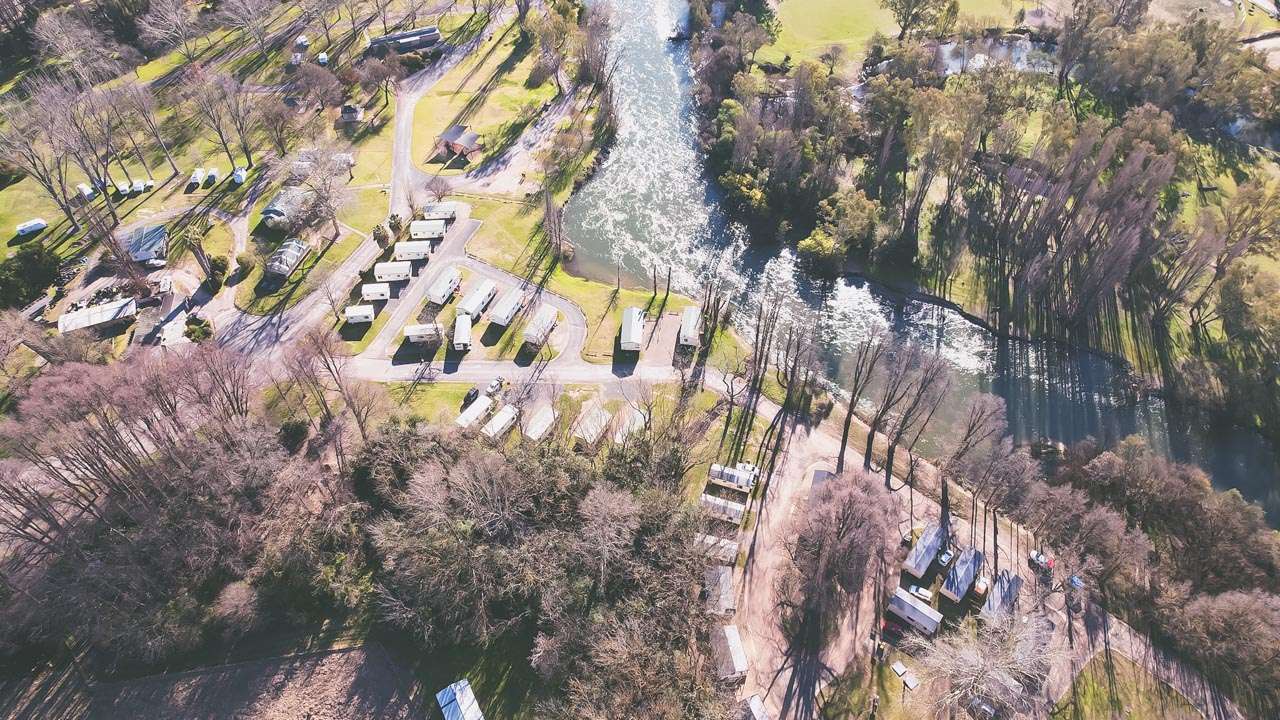
63. Jugiong Memorial Park & Showground
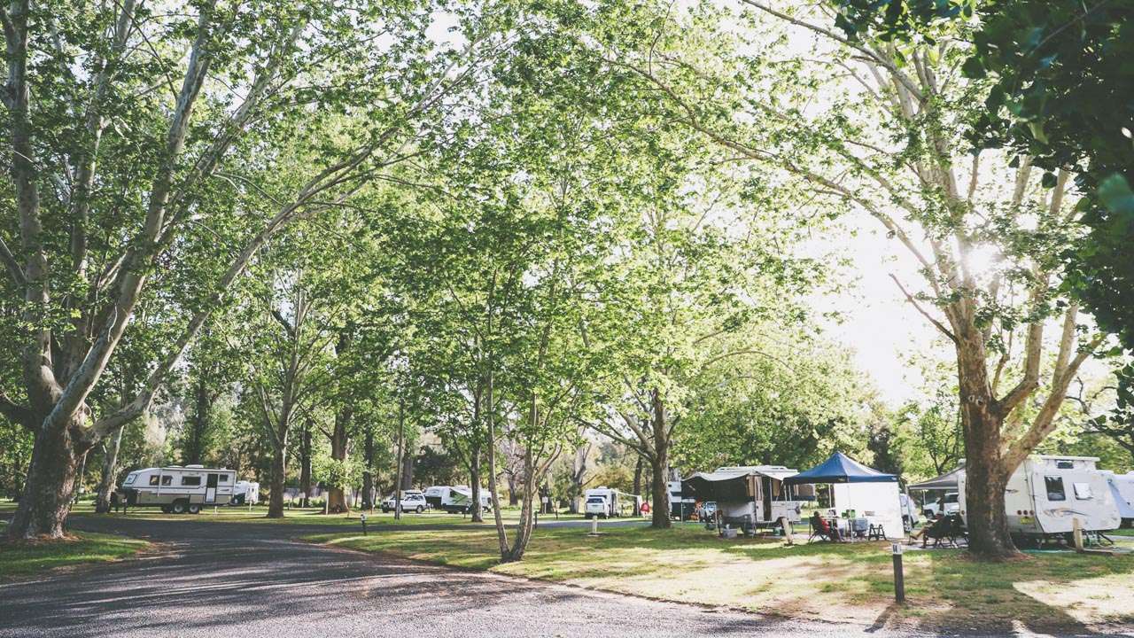
The campground area is adjacent to the Murrumbidgee River providing a picturesque and peaceful stay. Camping is by donation and you may stay up to 7 days.
- Do not drive or park on the playing fields
- Pets are permitted.
- Secure horse yards available for use.
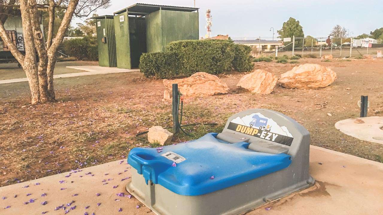
Donation boxes are provided at the entrance to help support the maintenance of the park areas and facilities. The park, playground and swimming pool are adjacent to the camping area. There are toilets, BBQ facilities and picnic tables located in the park. A dump point and potable water are also available. Campsites are unpowered and are suitable for tents, motorhomes, camper trailers, caravans and big buses. Recreational use of park is encouraged, however bookings such as sporting events take priority.
Type: Donation Camping
Cost: Donation
Location: Riverside Dr, Jugiong 2726, New South Wales
GPS: -34.824400°, 148.327295°
Web: https://www.visitjugiong.com.au/caravans-and-camping-information
Pet Friendly: Yes

Wagga Beach In Flood
About Murrumbidgee River Camping
Getting There
Before embarking on your Murrumbidgee camping adventure, you’ll want to plan your route. The river stretches over 1,600 kilometres, so there are numerous access points. We recommend starting your journey in the Australian Capital Territory (ACT) and gradually making your way downstream, exploring different camping spots along the way.
Things To Do While You Are Murrumbidgee River Camping
- Canoeing and Kayaking: Paddle along the river and discover its hidden coves and peaceful stretches.
- Birdwatching: The Murrumbidgee is a haven for bird enthusiasts, with various species of waterfowl and parrots.
- Fishing: Cast your line and try to catch Murray cod, golden perch, or silver perch.
- Stargazing: The remote camping spots along the Murrumbidgee provide excellent opportunities for stargazing, especially on clear nights.
- Wildlife Encounters: During our camping trip, we had the privilege of encountering kangaroos, wallabies, kookaburras, and even a platypus. The Murrumbidgee’s diverse ecosystem is a wildlife enthusiast’s dream.

Wagga Beach Murrumbidgee River
About The Murrumbidgee River
The Murrumbidgee River is one of Australia’s significant waterways, known for its beauty, ecological importance, and cultural significance. Here’s some essential information about the river:
- Location: The Murrumbidgee River flows through southeastern Australia. Its headwaters originate in the Snowy Mountains of New South Wales, near Kiandra, and it then travels approximately 1,600 kilometers (994 miles) before joining the Murray River.
- Geography: The river meanders through diverse landscapes, including alpine regions, forests, farmland, and arid areas. It plays a vital role in supplying water to the surrounding regions and ecosystems.
- Ecological Importance: The Murrumbidgee River is ecologically significant and supports a variety of flora and fauna. It’s home to several native fish species, including the Murray cod, golden perch, and silver perch. The river’s floodplains provide critical breeding and feeding grounds for numerous bird species and other wildlife.
- Cultural Significance: The river holds cultural importance for Indigenous Australian communities, with many Aboriginal groups having connections to its waters and surrounding lands. The name “Murrumbidgee” is derived from the Wiradjuri language, spoken by the Wiradjuri people, who are the traditional custodians of the region.
- Recreational Activities: The Murrumbidgee River offers a wide range of recreational activities, including camping, fishing, kayaking, canoeing, hiking, and birdwatching. Its clean waters and picturesque landscapes make it a popular destination for outdoor enthusiasts.
- Conservation Efforts: Like many rivers around the world, the Murrumbidgee faces environmental challenges, including water management issues and habitat degradation. Various conservation organizations and government agencies work to protect and restore the river’s health and its associated ecosystems.
- Water Management: The river plays a crucial role in Australia’s irrigation and agricultural industries. Water from the Murrumbidgee is diverted for irrigation, providing water for crops such as rice, cotton, and various fruits and vegetables.
- Tourism and Attractions: Along the Murrumbidgee River, you’ll find a range of attractions, including national parks, nature reserves, and historical sites. Popular destinations include the Murrumbidgee Valley National Park, Tidbinbilla Nature Reserve, and the historic town of Gundagai.
- River Health: Efforts are ongoing to monitor and maintain the health of the Murrumbidgee River, including water quality assessments, flow management, and conservation initiatives. These measures aim to ensure the long-term sustainability of the river and its ecosystems.
The Murrumbidgee River is a natural wonder that offers a glimpse into Australia’s diverse landscapes, wildlife, and cultural heritage. Whether you’re interested in outdoor adventures, ecological exploration, or simply appreciating the beauty of a pristine river, the Murrumbidgee has something to offer every visitor.
Conclusion
Camping along the Murrumbidgee River is a remarkable experience that allows you to reconnect with nature, explore pristine landscapes, and create lasting memories. Whether you’re an avid angler, a birdwatcher, or simply seeking a peaceful escape, the Murrumbidgee offers something for everyone. So, pack your camping gear, head out to this hidden gem, and immerse yourself in the serene beauty of the Murrumbidgee River. Your adventure awaits!
